Distance: 15.5 Miles
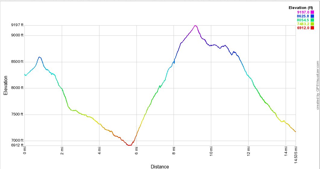
Vertical Gain: 2100'
Group Size: 1
Hike Rating: Easy Moderate Hard Strenuous
 See
video of hike
  GPX
for
this trip
| Start Coordinates: | N 38 38.446, W 119 57.300 | End Coordinates: | N 38 40.796, W 120 06.969 | ||
| Car Shuttle Req'd: | Yes | Parking Directions: | Take
Highway 88 to Blue Lakes road and turn south. Follow the road
for
a little more than 15 miles to the parking area on the left between the
two lakes. After 11 1/2 miles the road turns to
the north,
and becomes dirt for the last few miles. Park near the
trailhead sign for the Evergreen Trail just at the north end of Upper
Blue Lake. Park a second car at the Horse Canyon trailhead just to the east of Silver Lake, approximately 2 miles west of Thunder Mountain trailhead on the south side of Highway 88. |
||
| Hazards of Note: | There is an excessively steep
climb in open, exposed areas after 6 miles into the hike.
There is some water about halfway up, but this is a demanding
section of hike. The Horse Canyon trail to the north of Squaw Ridge is torn up significantly from motorcycle use on the trail. |
Crowd Factor: | Negligible. The Evergreen trail down into Summit City Canyon is lightly used and if you run into anyone it will probably be those heading to or coming down from 4th of July Lake. From the junction at Horse Canyon up to Squaw Ridge you will not run into anyone. There might be a few hikers on the last section of Horse Canyon from the Scout Carson Lake turnoff to the parking area, but probably very few if any. | ||
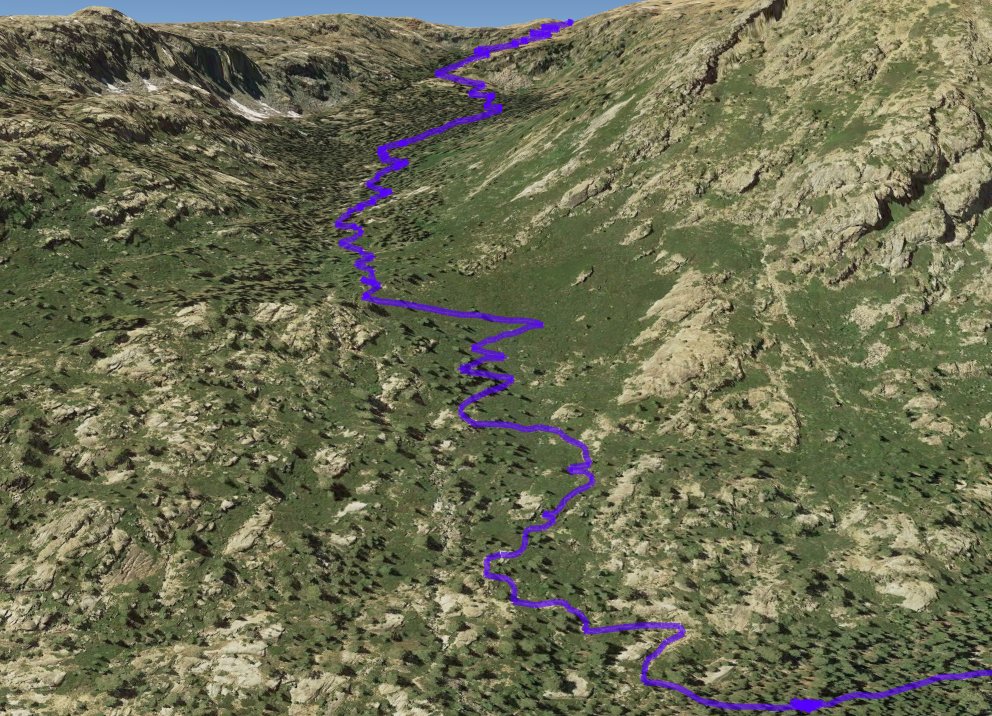
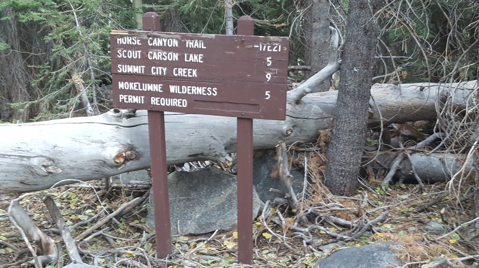
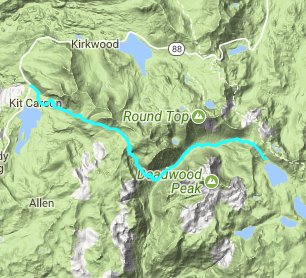
| General Notes: From the parking area head west on the Evergreen trail, which will gradually head up about 300 feet before beginning a relatively steep drop over about a mile of more than 1700' in elevation toward the canyon floor. Most of this trek is through forest and along the old jeep trail which used to be accessible into the canyon. There is one water crossing in the first mile that could be a bit tenuous in early spring and summer or after a heavy rainfall, but otherwise this trail stays to the north side of the creek all the way down to the turnaround point far ahead. Once the trail nears the canyon floor, there are spectacular views to the south toward Deadwood Peak, and the granite protrusion that extends about a mile to the north of the peak. As you continue down the trail you will meet up with the junction of the Forestdale Divide Trail which dropped down the north side of the canyon walls, and then less than a half mile further west is a second trail junction. This one has a trail which splits back to the north, and heads up to Fourth of July Lake, and eventually Round Top Lake 2000' above the canyon floor. There are two great camping sites here with fire rings and access to the river close by. Past this junction the trail becomes very remote, and winds slowly toward the south west as it follows the canyon down toward the Horse Canyon Trail junction a little past the 5 and three quarter mile mark. 8 miles further down the Evergreen trail is Camp Irene, once a popular destination on the Tahoe to Yosemite route, but this trek will have you head right and begin a significant, serious climb of over 2200' feet in the next couple miles to reach the crest of Squaw Ridge. This majority of this section is in open chaparrel type landscape, with long switchbacks helping to keep the constant elevation gain from being too intense. There are a number of tree-covered sections along the way, and about a mile up you will cross the Horse Canyon creek with in October of this year still had a reasonable amount of water if needed. There are great views back down into the Mokelumne River Canyon as you continue to gain elevation, and you can even make out the Bear Valley ski resort buildings once you get high enough up the canyon. The last half mile of the trail is a little hard to follow with the lack of use on this trail, but cairns along the trail help as well as map reading skills. At the crest of Squaw Ridge, which you reach just a little before 10 miles into the trip, there is a wilderness sign indicating you are leaving the Mokelumne Wilderness, and then a short walk over an open area to meet up with the rest of the Horse Canyon trail which will take you past the junction for the beautiful Scout Carson Lake in about a half mile, and then follows along the back side of the Kirkwood ridge, including The Thimble and Thunder Mountain for the last 5 miles until you finally emerge from the forest at the Horse Canyon Trailhead on Highway 88, a little over 15 miles from the starting point at Upper Blue Lake. |
|||||
