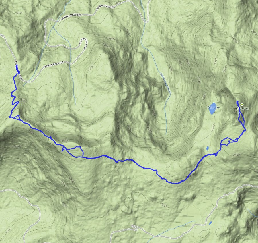
Distance: 7.0 Miles
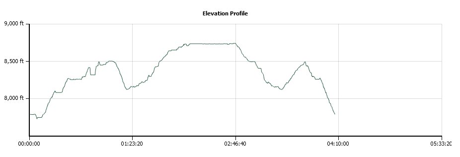
Vertical Gain: 1100'
Group Size: 1
Hike Rating: Easy Moderate Hard Strenuous
 GPX for
this trip
GPX for
this trip
| Start Coordinates: | N 38 04.335 W 120 13.866 | End Coordinates: | Same as starting coordinates | ||
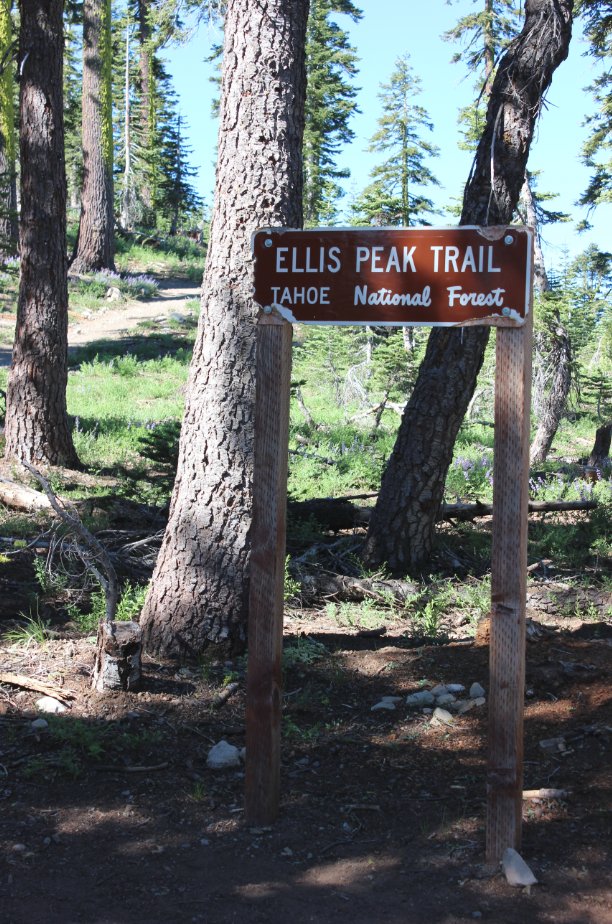
| Car Shuttle Req'd: | No | Parking Directions: | Take Highway 89 on the west side of Lake Tahoe to the Barker Pass road turnoff south of Tahoe City. (Note: this gate is closed during the winters.) Drive a little over 7 miles up Barker Pass road, parking at the trailhead were the paved section of this road ends. There is parking along the road and also off-road in a spot for 4-5 vehicles right next to the trail sign for Ellis Peak. | ||
| Hazards of Note: | Halfway to the peak there are
some sheer dropoffs to the north of the trail. Keep children
with you. The trail gains a significant amount of altitude early on, then loses most of it before regaining it at the destination peak. |
Crowd Factor: | Moderate. There were a few hikers out enjoying this trail even on a weekday. | ||
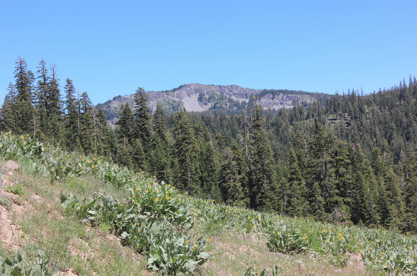
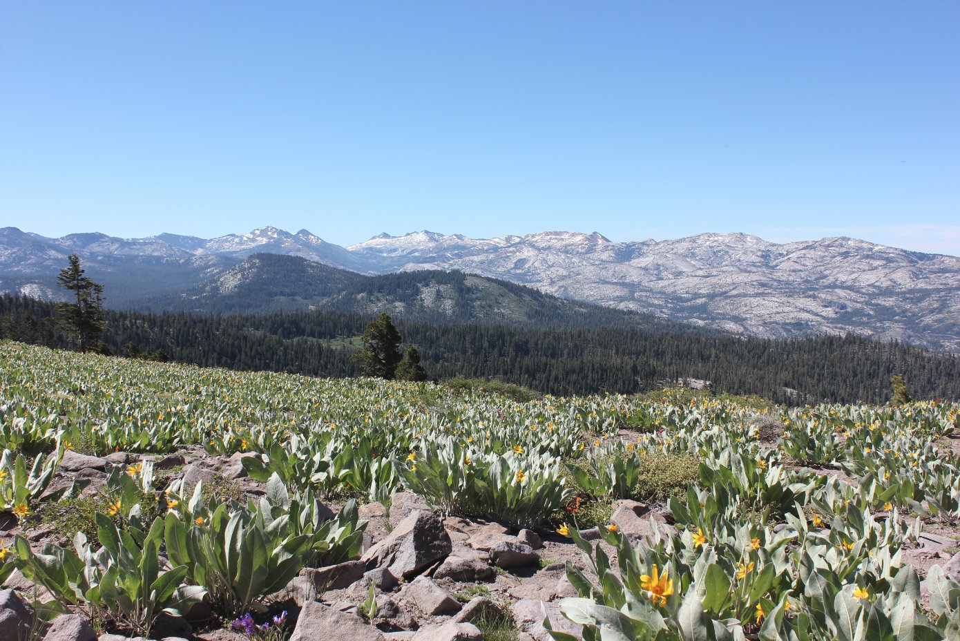
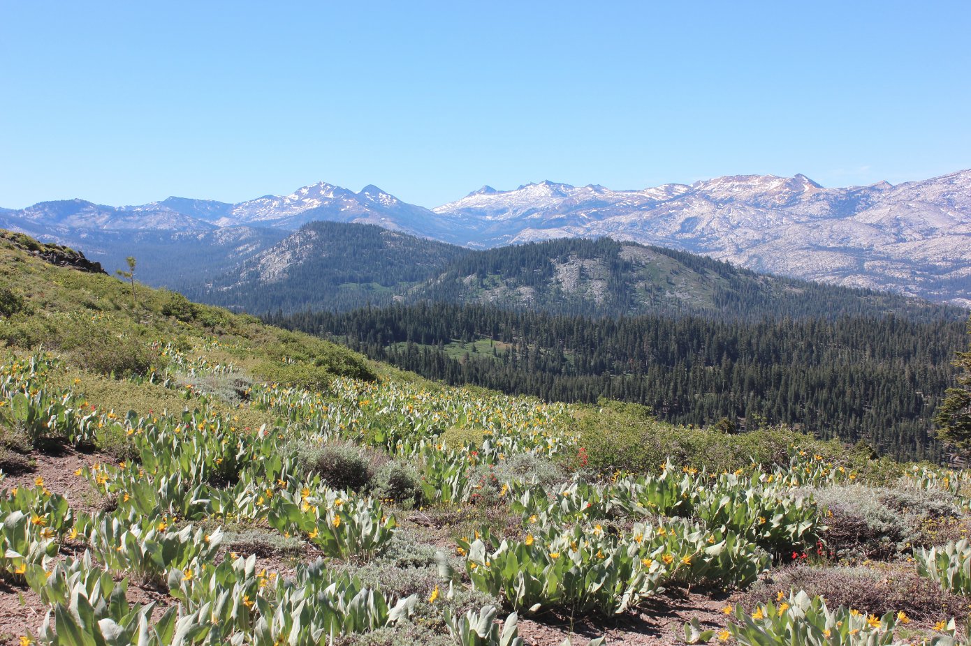
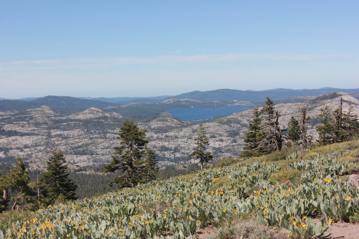
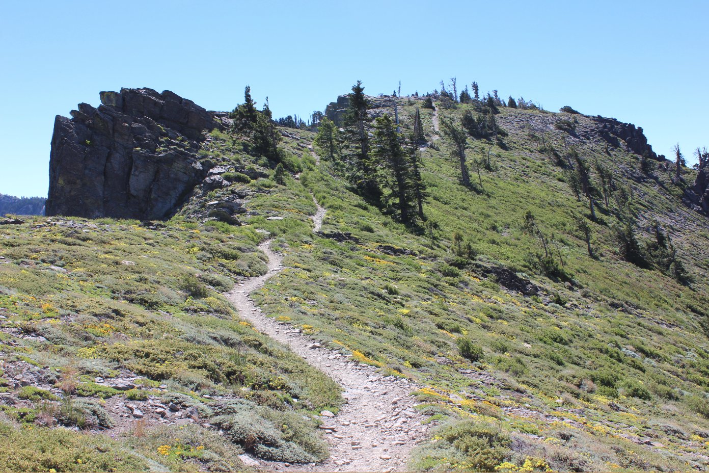
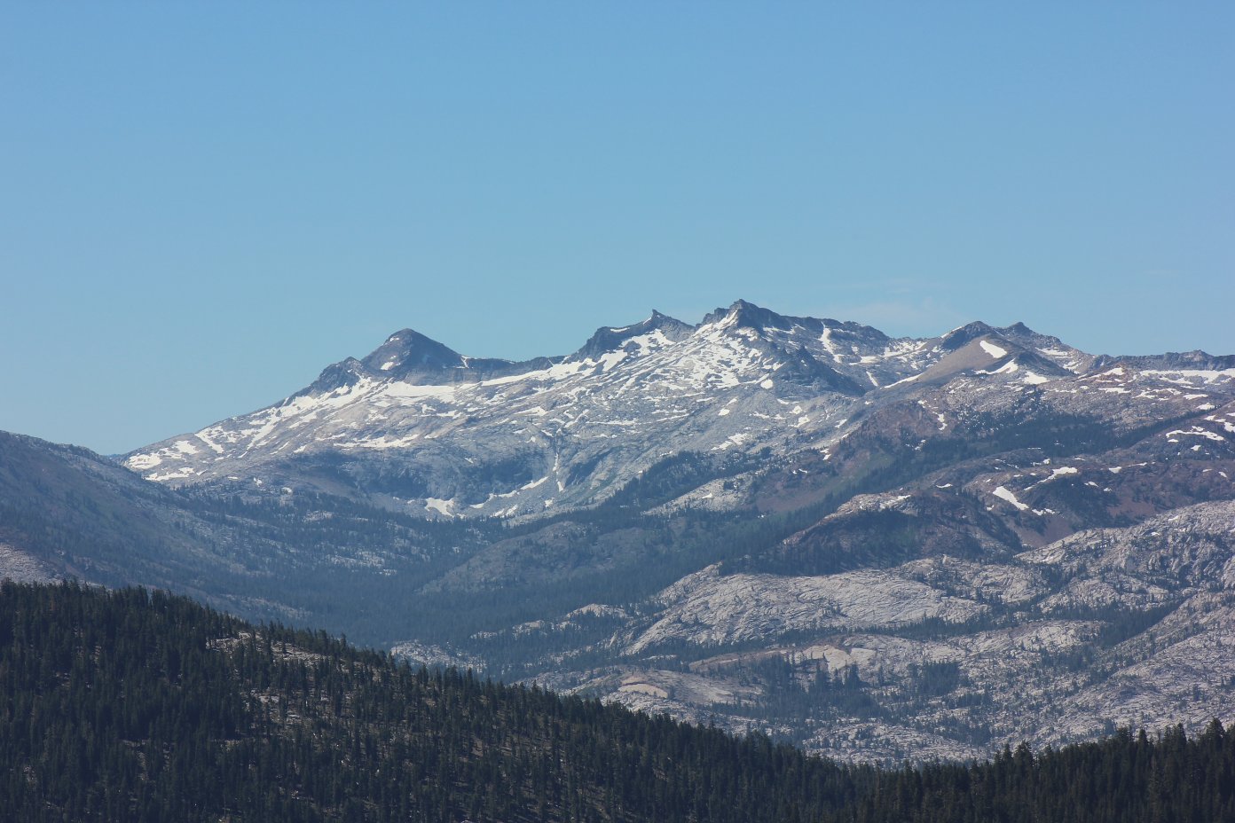
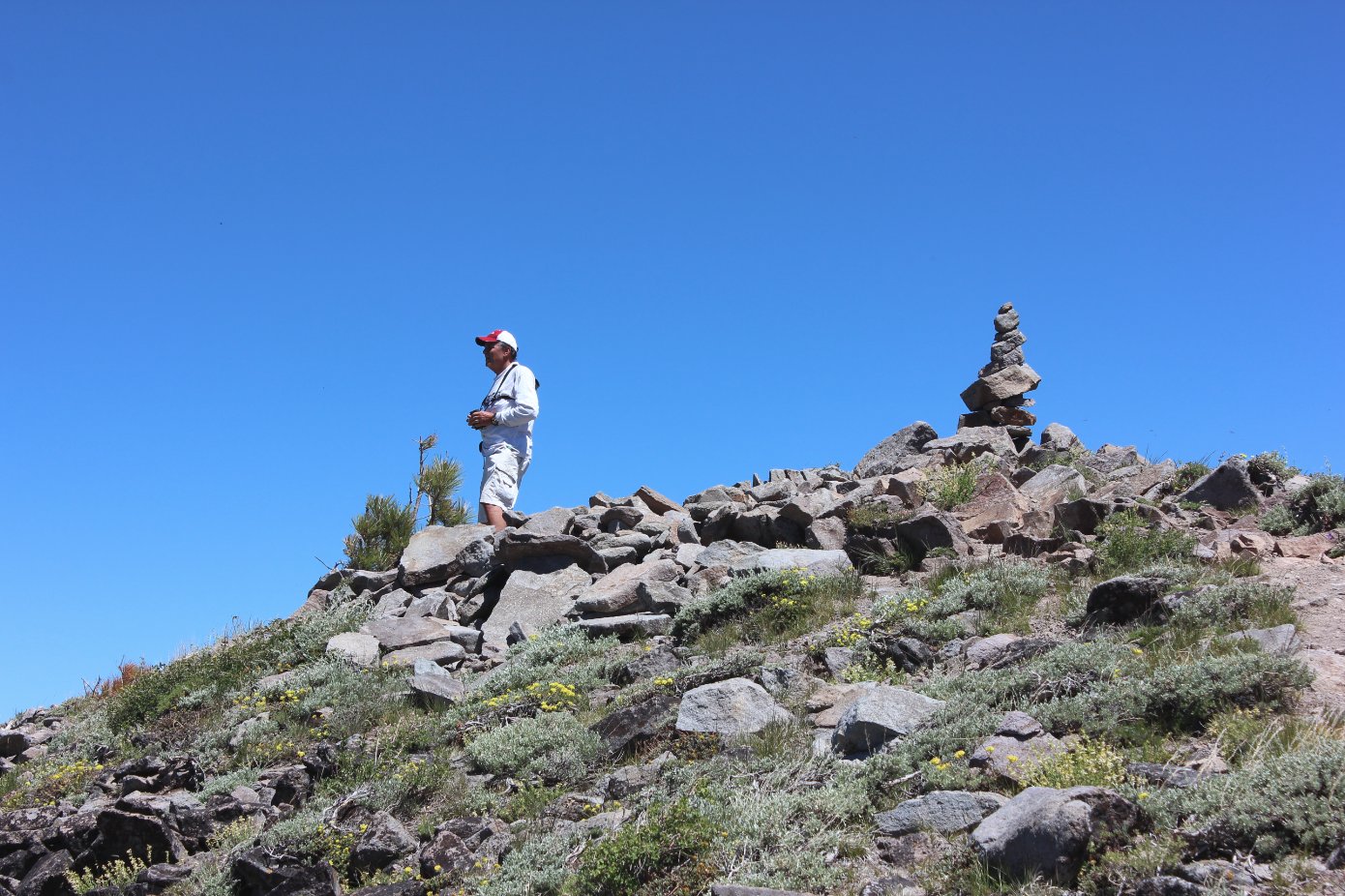
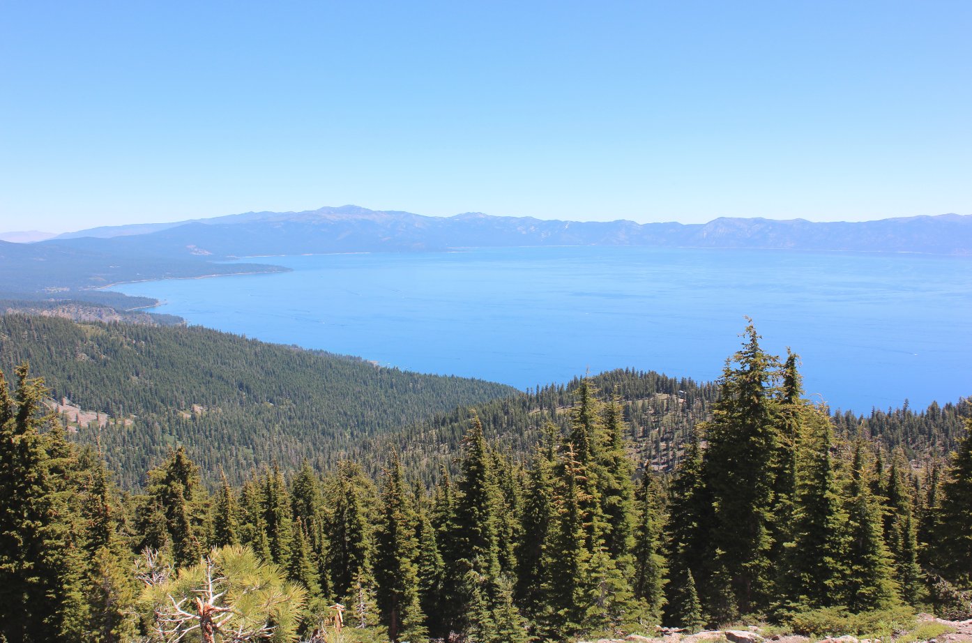
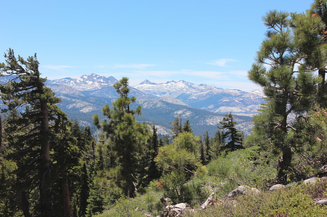
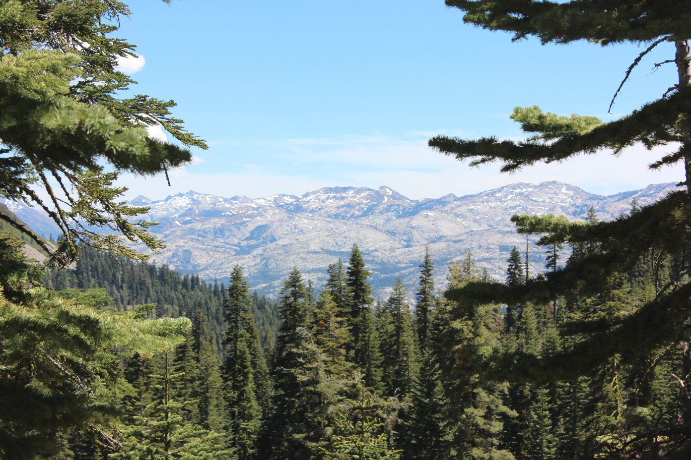
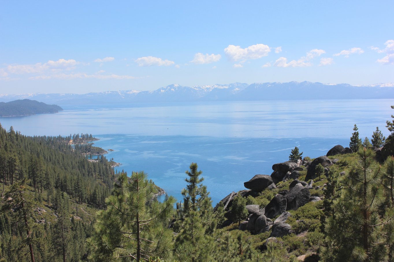
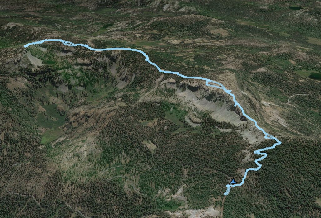
| General Notes: From the parking at the trailhead, you will immediately begin to gain elevation via a series of switchbacks through a forested area above Barker Pass road. There are a number of nice viewpoints just off the trail near many of the turns in the switchbacks. About 3/4 of a mile in the switchbacks end, and you find yourself suddenly presented with breathtaking panorama as you come to the top of a small ridge, looking south into the heart of the Desolation Wilderness. With the abundance of wildflowers during this early summer hike, it was a place to just stand and stare for the longest time. To the west are spectacular views of Loon Lake as well, including the Rubicon Jeep trail which can just be made out with binoculars. This section continues up a small ridge in the open sun, and within a mile you start a long stretch of downhill through a forested area where you lose much of the elevation you initially gained on the hike. As you near the peak, there is a signed junction to go to the left for Ellis Lake, straight for Ellis Peak, and then there is a road to the right which connects with another trail and the Rubicon Jeep area but is not signed. Continue straight toward the peak. As you near the peak, the trail will wind around the back side of it (on the east side,) eventually taking you right to the top. |
|||||