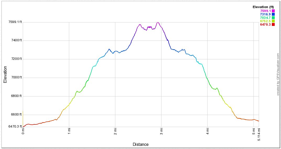
Distance: 5.5 Miles
Vertical Gain: 1300'
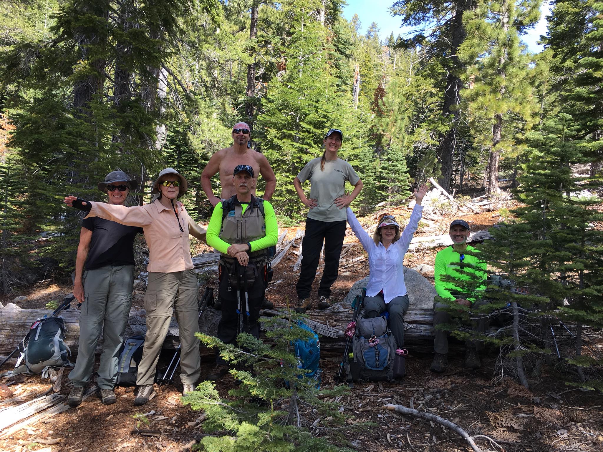
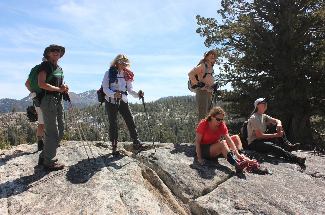
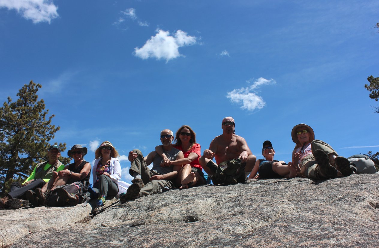
Group Size: 8
Hike Rating: Easy Moderate Hard Strenuous

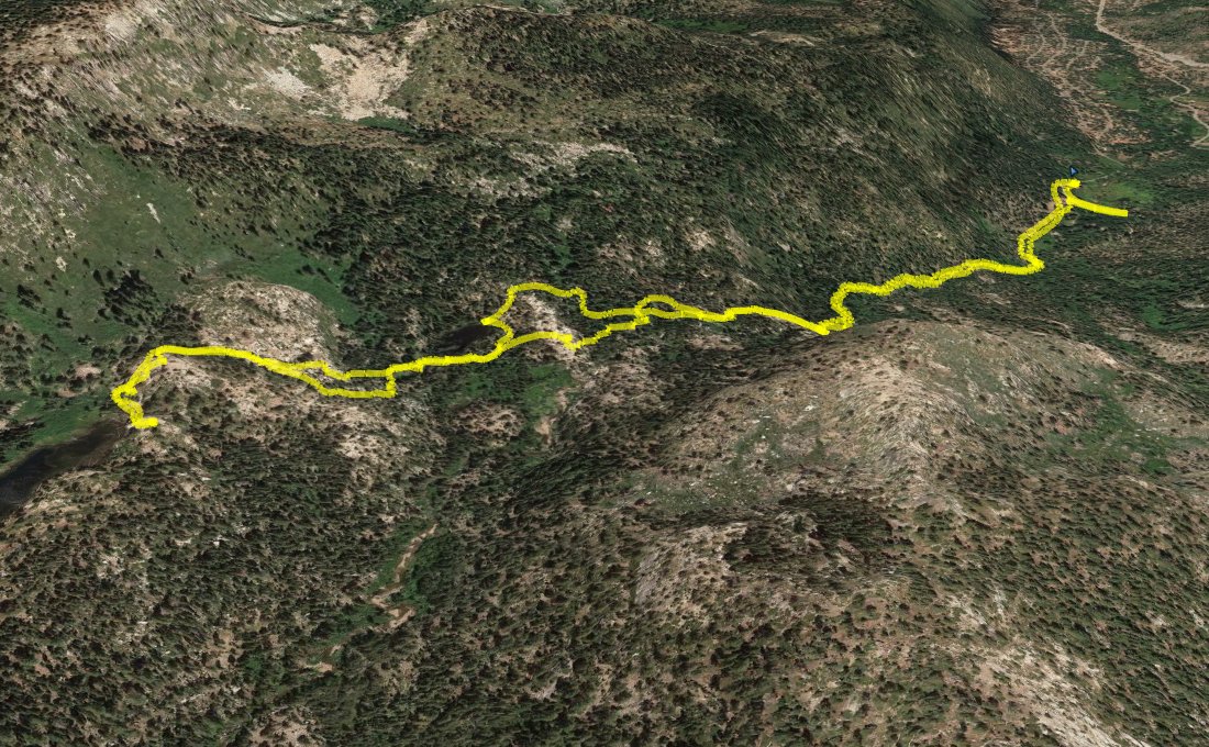
 GPX
for
this trip
GPX
for
this trip
| Start Coordinates: | N 38 47.638, W 120 01.258 | End Coordinates: | Same as Start Coordinates | ||
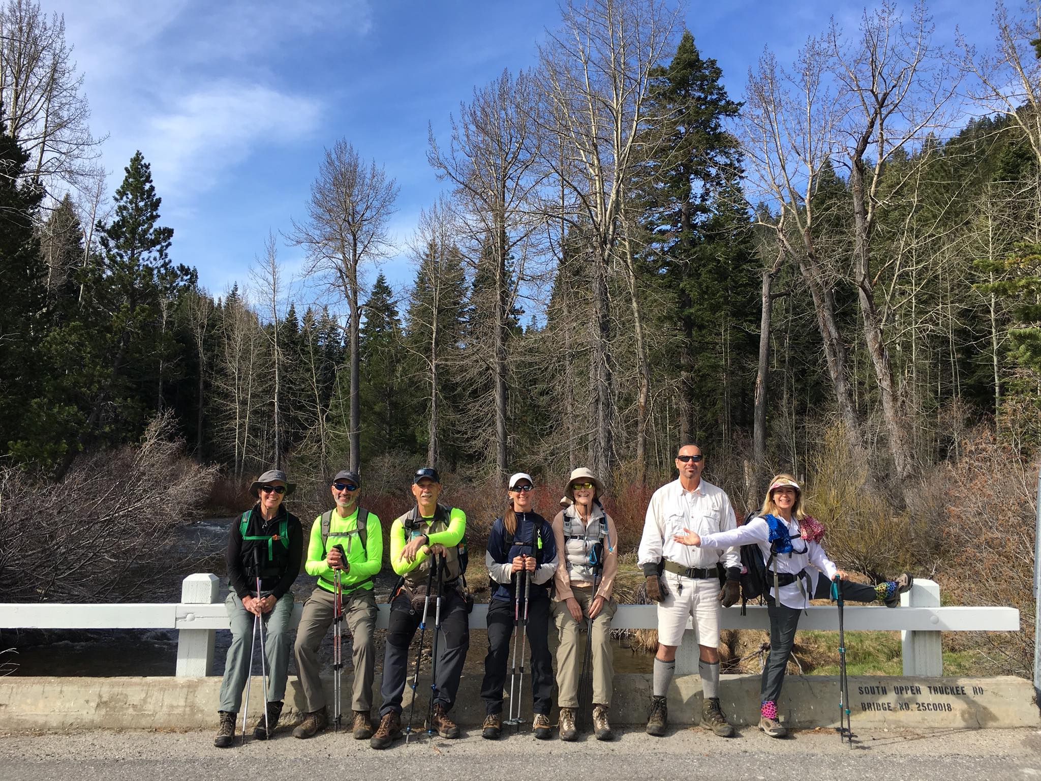
| Car Shuttle Req'd: | No | Parking Directions: | Take Highway 50 to S. Upper Truckee Road. Turn south and head down approximately 3.6 miles to the entrace to the Hawley Grade National Recreation trail. If the gate is closed, then park off the road in this area. Otherwise, continue up the road for 1/10 of a mile to the parking area at the coordinates listed. The end parking coordinates are at the parking area for Mt. Ralston, across from Camp Sacramento on the north side of the highway. | ||
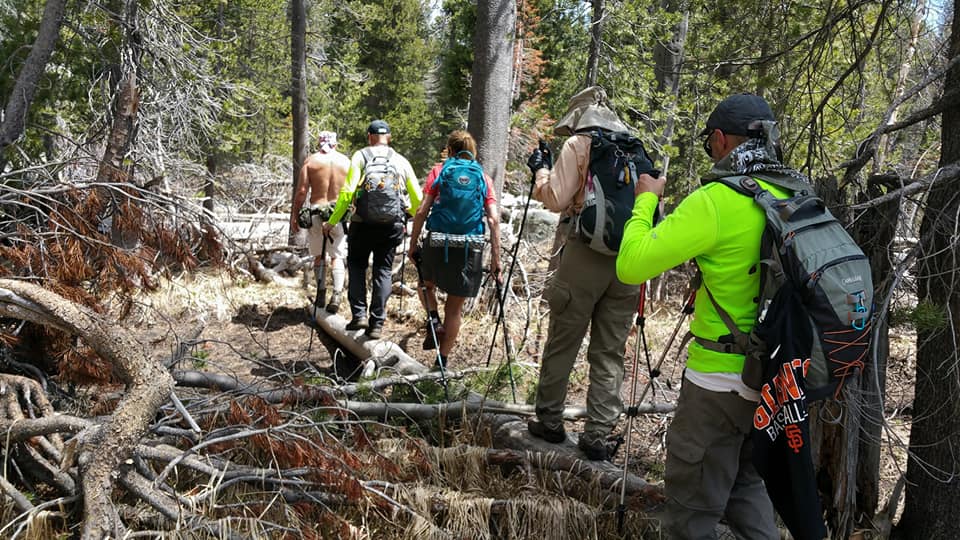
| Hazards of Note: | Most of the trail section of this hike is a non-official use trail. Route finding is necessary a couple of times and there are steep sections of trail. The last 3/4 miles to the lake are all off-trail navigation. | Crowd Factor: | Moderate to Little. Although this is almost completely along a use trail, it is a well-known hike in the area and a popular outing for hiking, running and dog walking with local residents. Past the 2 mile mark, the trail runs out and cross-country navigation is required to reach Elbert Lake. | ||
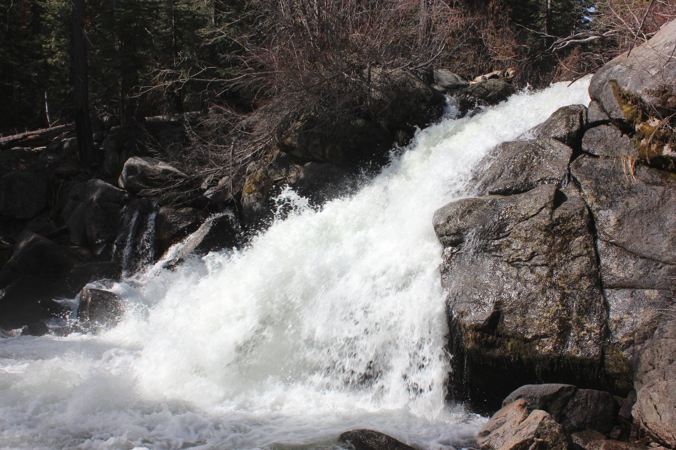
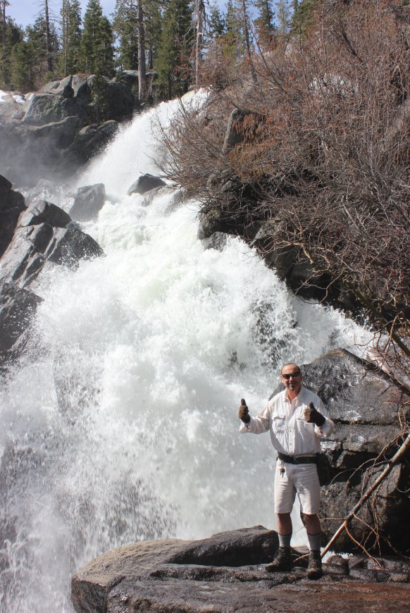
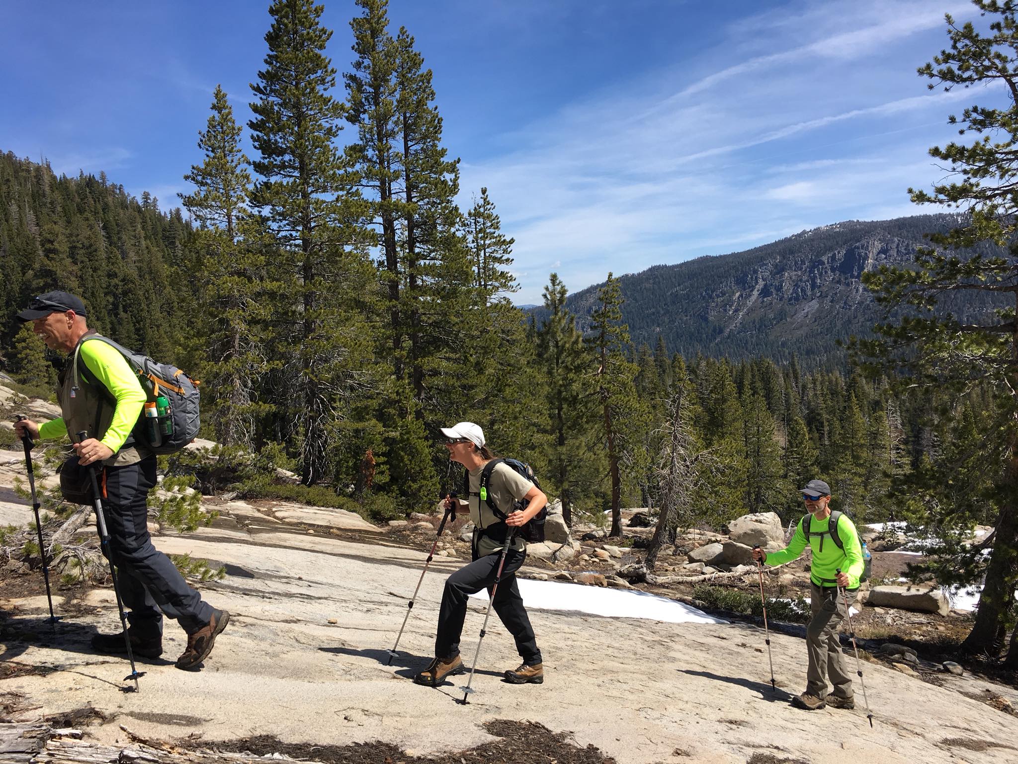
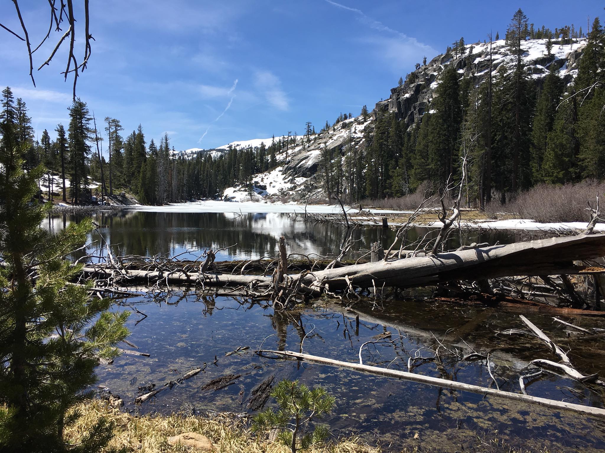
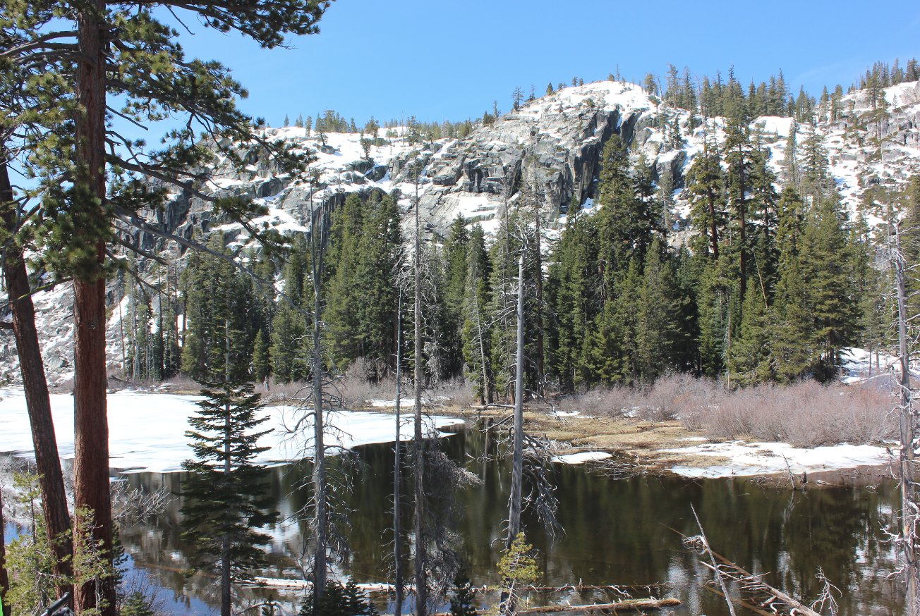
| General Notes: From the start parking area, follow the road south for a short distance past the sign for the Hawley Grade National Recreation Trail which heads off to the right. Almost immediately the trail becomes a narrow, single-track use trail which begins to climb steeply as it passes a number of waterfalls to the east. There are a number of places to head off the main trail to check out the various waterfalls closer, and evnetually the trail cuts up and away from the Truckee River, and a little bit of cross country navigation is required to reach a small, unnamed lake which is about a 1/2 mile north of the larger Elbert Lake. Pass around the east side of the pond where you will encounter a large area which is the obvious home to a beaver population who have knocked down numerous trees to create a number of large dam structures. Continue almost directly due south until you reach the lake. |
|||||