Distance: 8.5 Miles
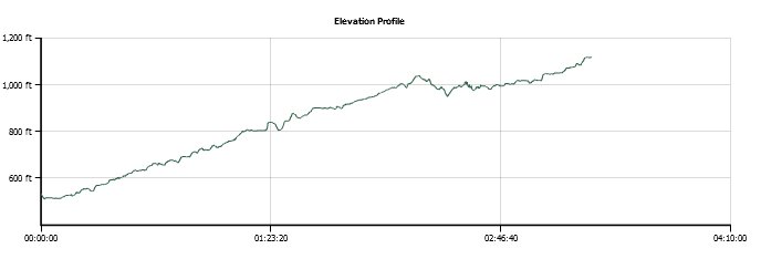
Vertical Gain: 600'
Group Size: 2
Hike Rating: Easy Moderate Hard Strenuous
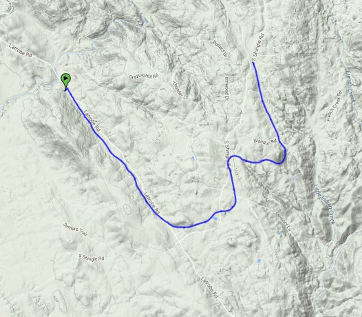
 GPX for
this trip
| Start Coordinates: | N 38 35.847, W 121 01.173 | End Coordinates: | N 38 36.261, W 120 57.488 | ||
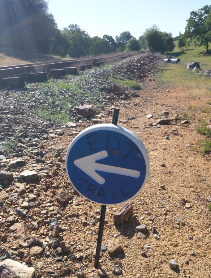
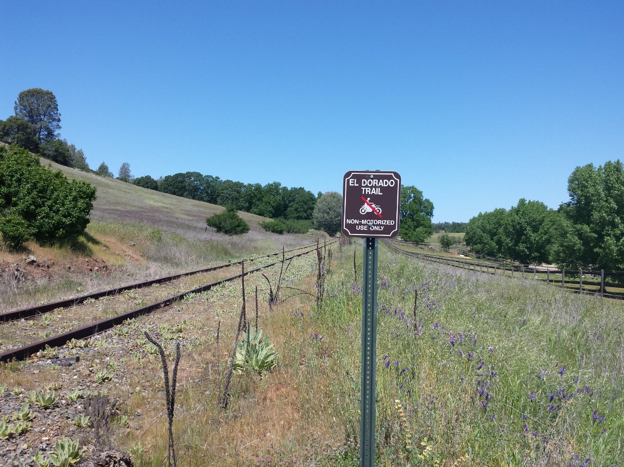
| Car Shuttle Req'd: | Yes | Parking Directions: | For the trail start parking area, drive south on Latrobe Road for about 7 miles from El Dorado Hills to the parking area on the west side of the road. There is a large gravel parking area for about 10 cars in this section, and a sign for the El Dorado Trail just along the tracks visible from the road. For the end parking area, drive south on S. Shingle Road about 4 1/2 miles to the small parking area for just about three cars on the west side of the road, just a few feet past where the train tracks cross the road. | ||
| Hazards of Note: | Rattlesnakes, ticks, poison oak. | Crowd Factor: | Minimal. This is not a heavily used section of the trail, although there is a single trail trail most of the way indicating mountain bikers, hikers, and even evidence of horse riders along this section. | ||
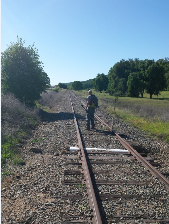
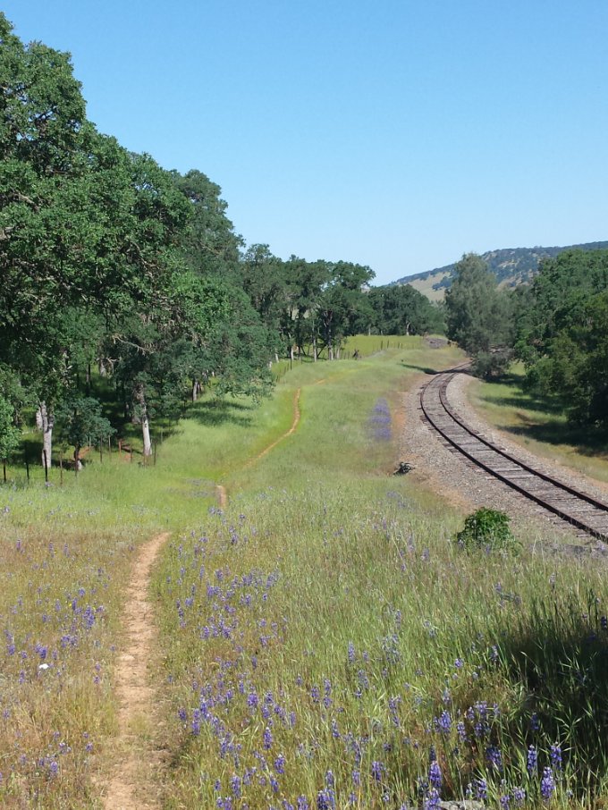
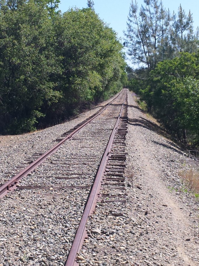
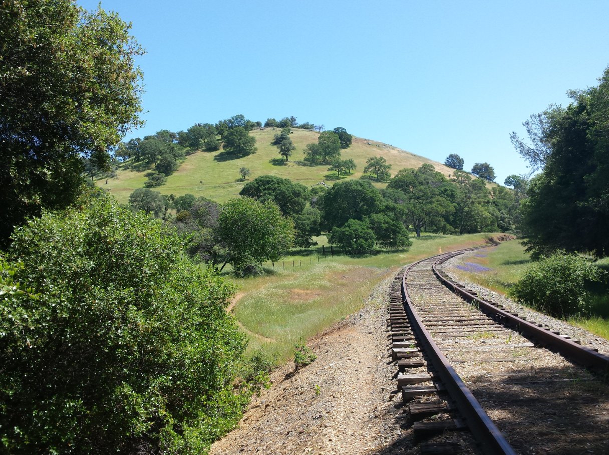
| General Notes: From the trailhead at the parking area, head over to the tracks and start walking south. You will be along this almost straight southern route for about three miles, parallelling Latrobe Road to the east for this entire section. Some of the parts of the trail temporarily lose sight of the road behind small hills, but not for long. Either walk along the tracks, or follow the single track dirt trail section for this period, although this latter option has a lot of ups and downs that would be avoided along the tracks. Be very careful of the road crossing just near the town of Latrobe, and then the tracks turn east and cut through a rural residential area for the next few miles. There is a lot of poison oak off the trail along this section, so be sure to avoid it (easily done staying on the trail.) The trail soon crosses South Shingle Road and then turns north for about a mile, crossing the road twice more before then heading almost due east again. This section of the trail will head past Sugarload Hill on your left, and then bend back north again for the last two miles in almost a straight shot to the end parking area. This hike is rated as Moderate only due to the distance of it. The elevation change and the flat, wide surface would otherwise rate it as Easy. |
|||||
