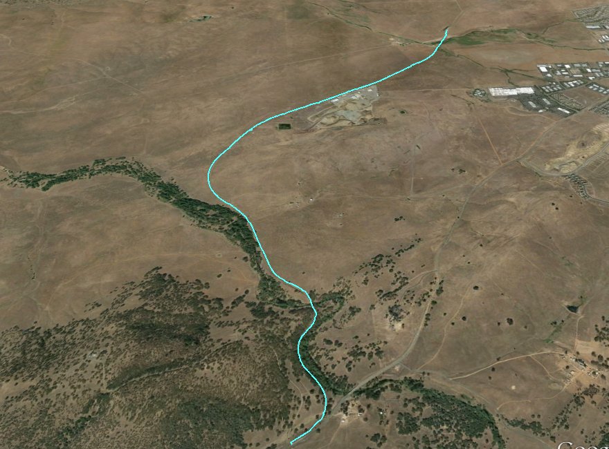
Distance: 4.0 Miles
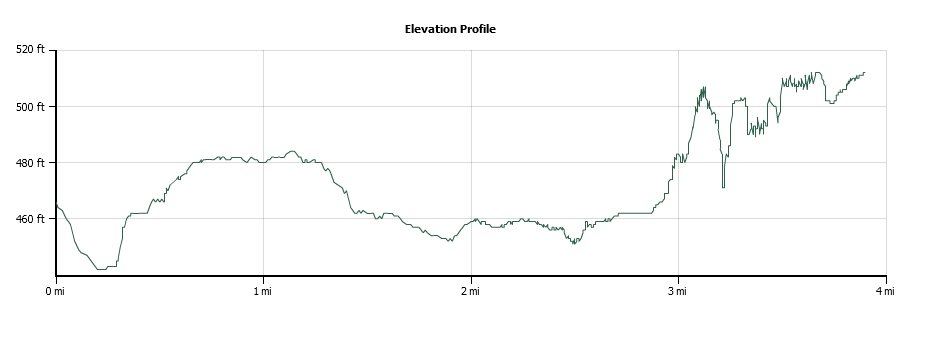
Vertical Gain: 200'
Group Size: 1
Hike Rating: Easy Moderate Hard Strenuous
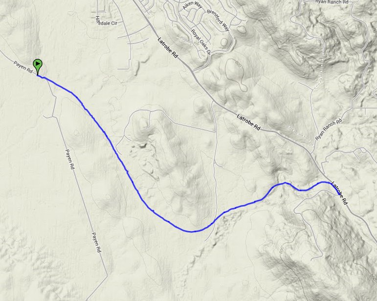
 GPX for
this trip
| Start Coordinates: | N 38 35.859, W 121 01.1785 | End Coordinates: | N 38 36.820, W 121 04.348 (if doing point to point) | ||
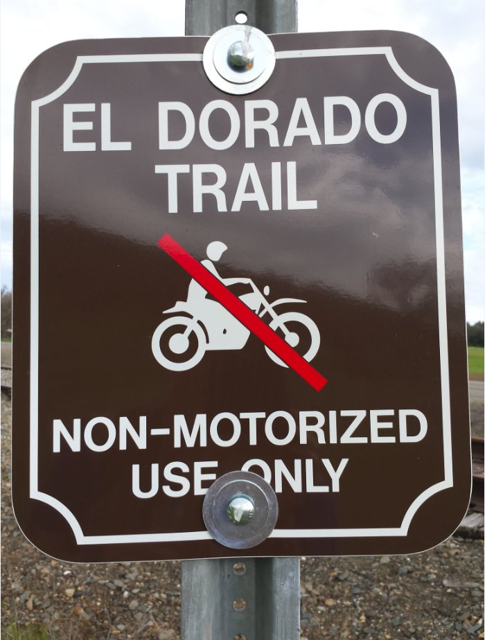
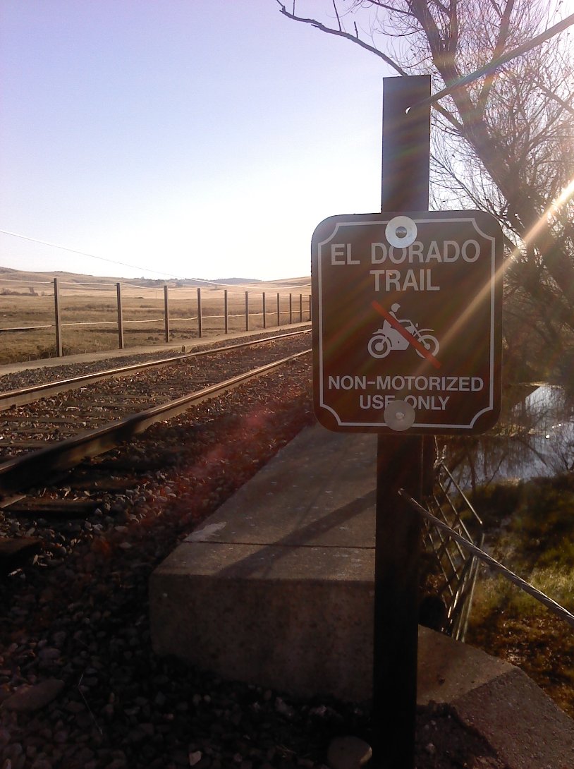
| Car Shuttle Req'd: | Yes or No (out and back or point to point) | Parking Directions: | Take Highway 50 to El Dorado Hills South (Latrobe Road) exit. Drive south on Latrobe Rd for approximately 6 miles until you get to the parking area on the right side of the road. Hike begins here at the El Dorado Trail sign next to the railroad tracks. | ||
| Hazards of Note: | Snakes, ticks, footing across a couple of trestle bridges. | Crowd Factor: | Limited. This section of the trail is a lesser used area of the El Dorado Trail. | ||
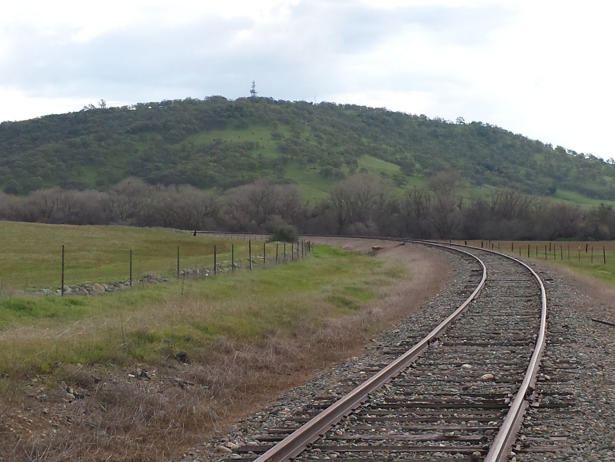
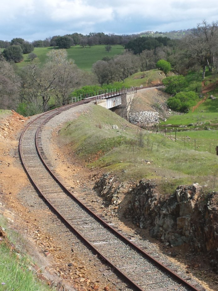
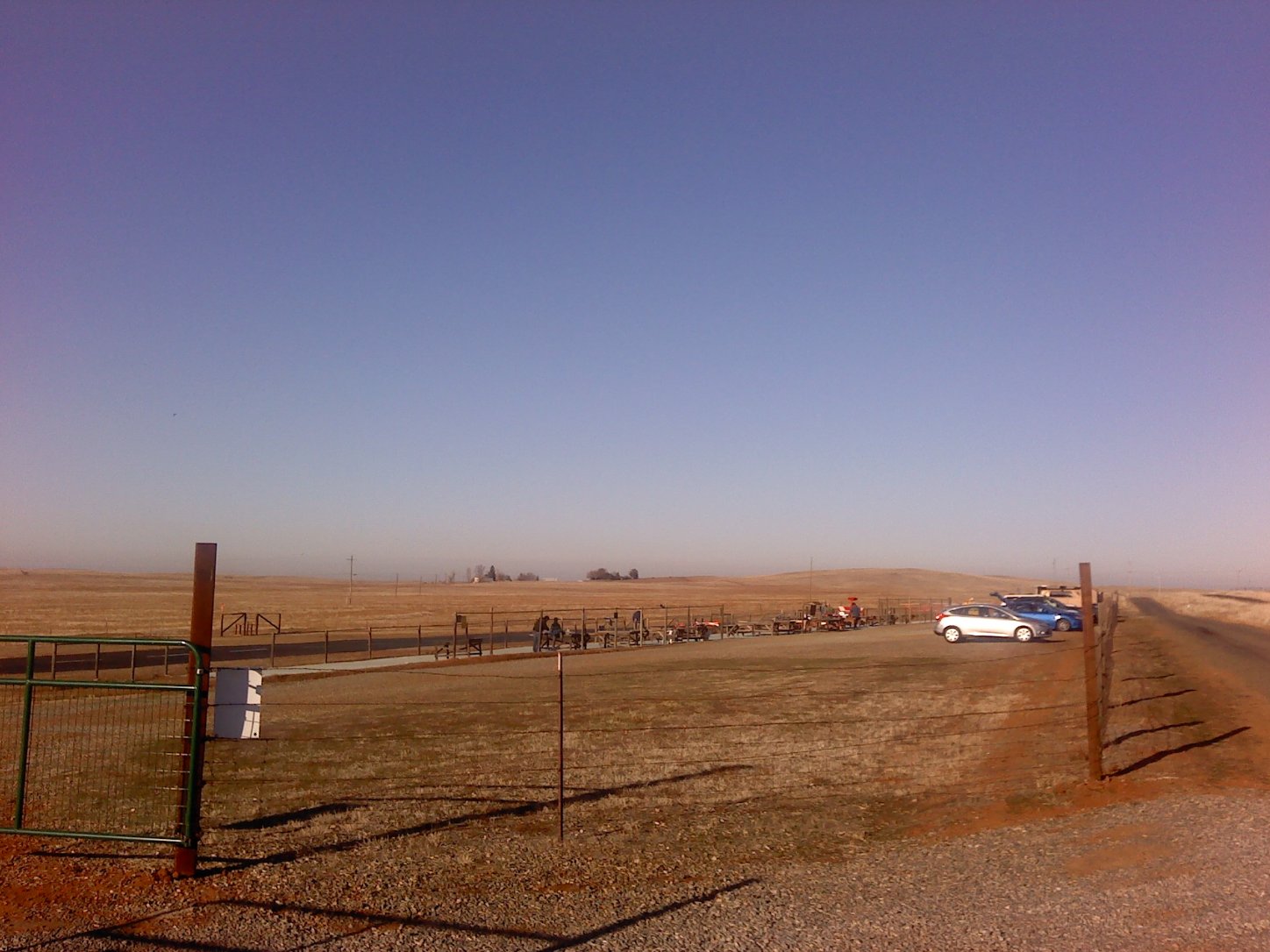
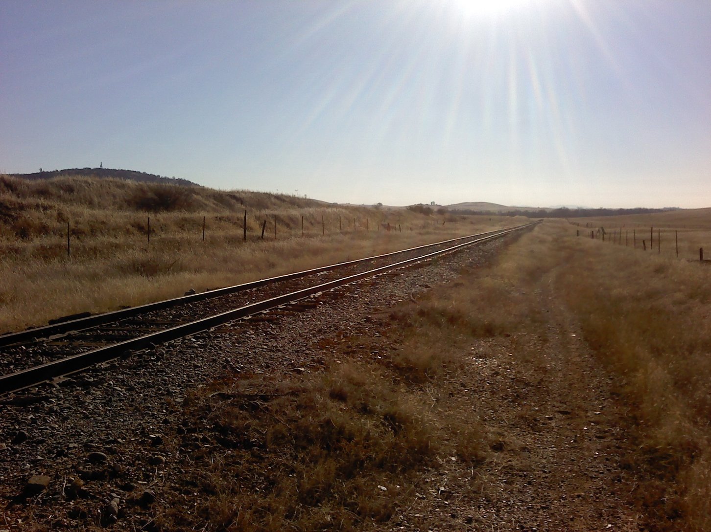
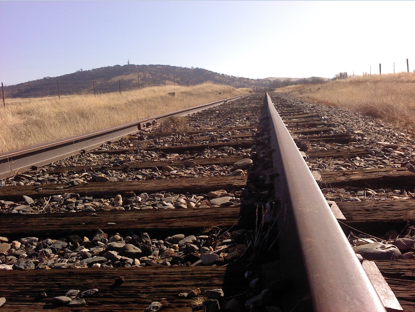
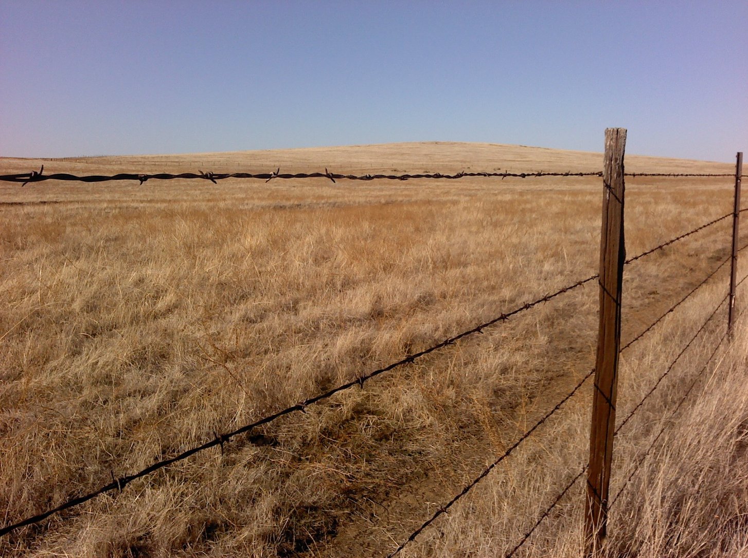
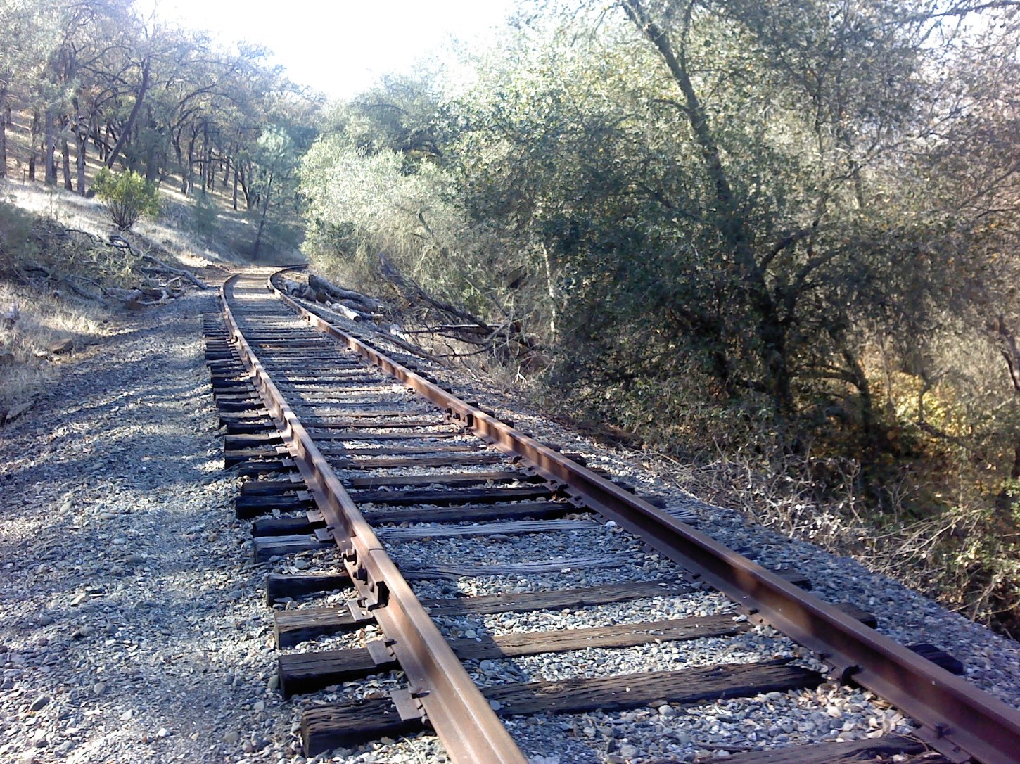
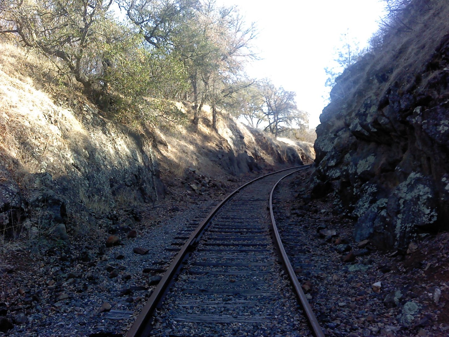
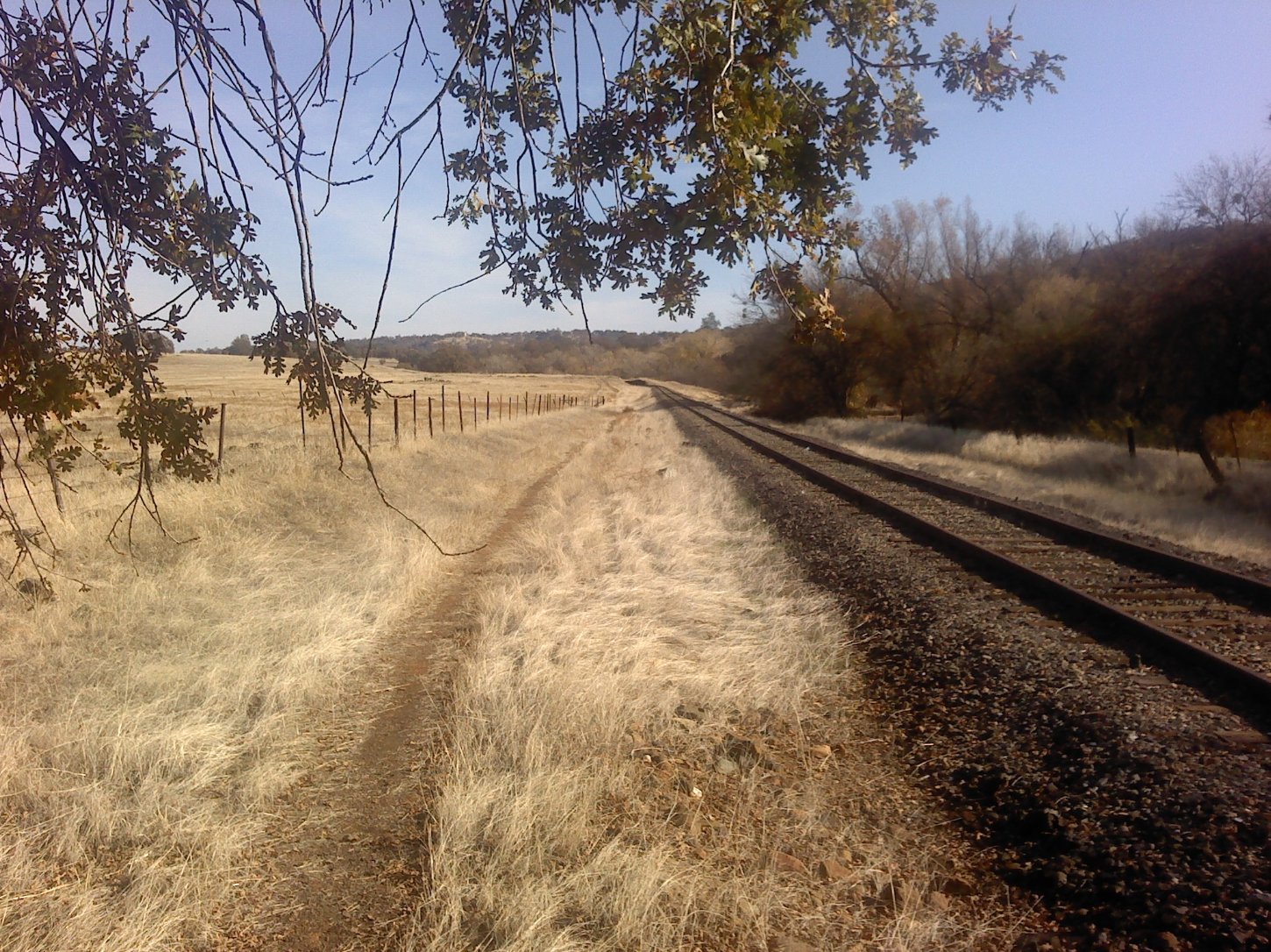
| General Notes: From the parking area walk down to the tracks, and head to your right (north.) You will cross a small trestle bridge within the first tenth of a mile, which will require careful footing to pass across. There is a single-track trail along most of the track area that sometimes runs along the right side and other times crosses along the left. About a mile in there is a longer trestle with a grated pathway on either side of the tracks. You will have to carry a dog across this section, as their feet would slip through this constantly. There is also a good sense of vertigo here for those with a heightened awareness of heights, as you are crossing 40 feet above the ground below. About 2 miles in the tracks bend to the north, and continue in this manner all the way to the end of this section at the parking area for a small remote controlled airplane club area. You can either turn around here for an out and back hike or this is where your vehicle will be parked for a point to point hike. |
|||||
