Distance: 7.9 Miles
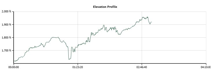
Vertical Gain: 350'
Group Size: 2
Hike Rating: Easy Moderate Hard Strenuous
 GPX for
this trip
GPX for
this trip
| Start Coordinates: | N 38 41.017, W 120 51.031 | End Coordinates: | N 38 43.986, W 120 47.372 | ||
| Car Shuttle Req'd: | Yes | Parking Directions: | For
the parking area in Placerville, take Highway 50 to the Broadway exit
if heading east. You will get off and turn right, then right
at
the stop sign and then you will turn left after crossing back under the
freeway. The parking area will be on the left. If
travelling west on 50, exit Mosquito Road, turn right at the first turn
and the parking area will be on your left. For the El Dorado Parking area, take Pleasant Valley Road into the town of El Dorado. Turn north onto North St. just a little west of the intersection of Pleasant Valley and Highway 49. Head up this street and turn left at the T intersection. Park near the old El Dorado trail station. |
||
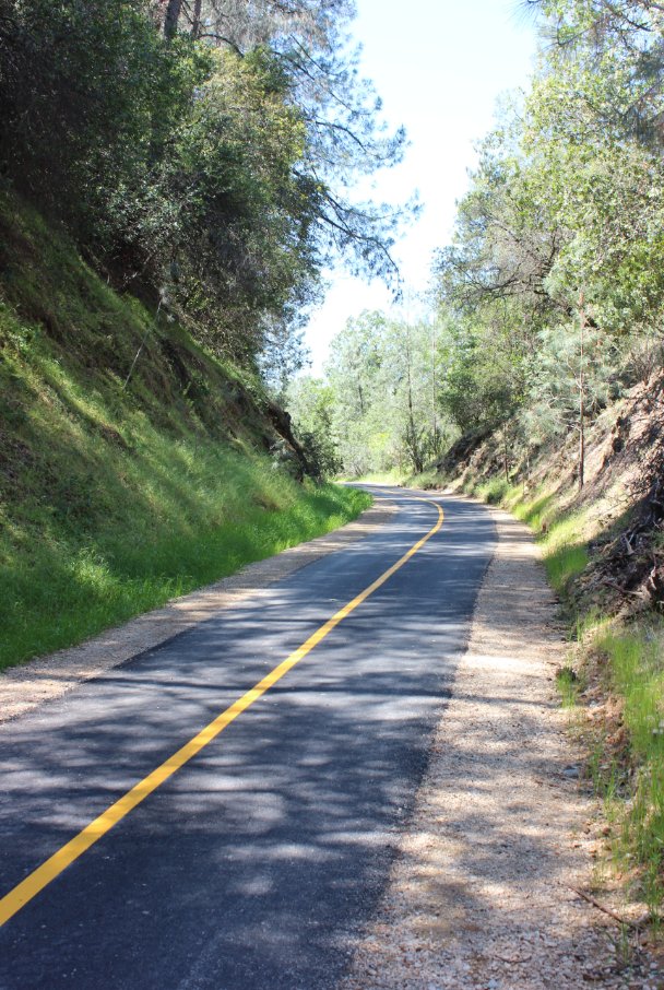
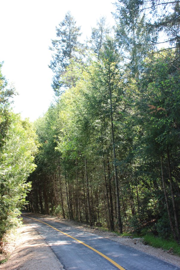
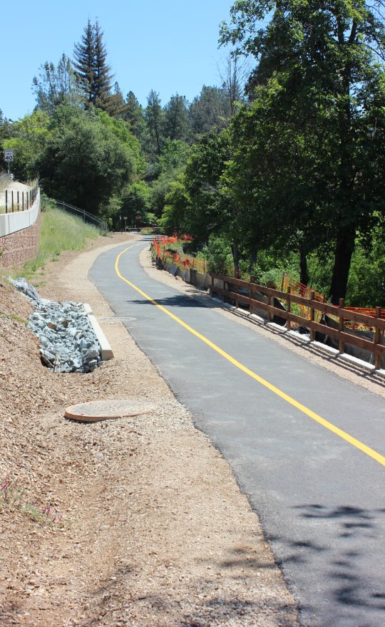
| Hazards of Note: | Rattlesnakes, mountain lions, ticks, poison oak. | Crowd Factor: | Minimal to Heavy. The section from El Dorado to Missouri Flat, about the first third of the hike is very lightly used and still running along the old train tracks. From Missouri Flat on the trail is paved and is heavily used by bikers, walkers and even some equestrians. | ||
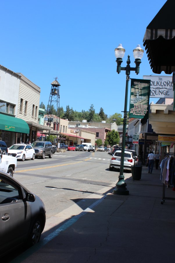
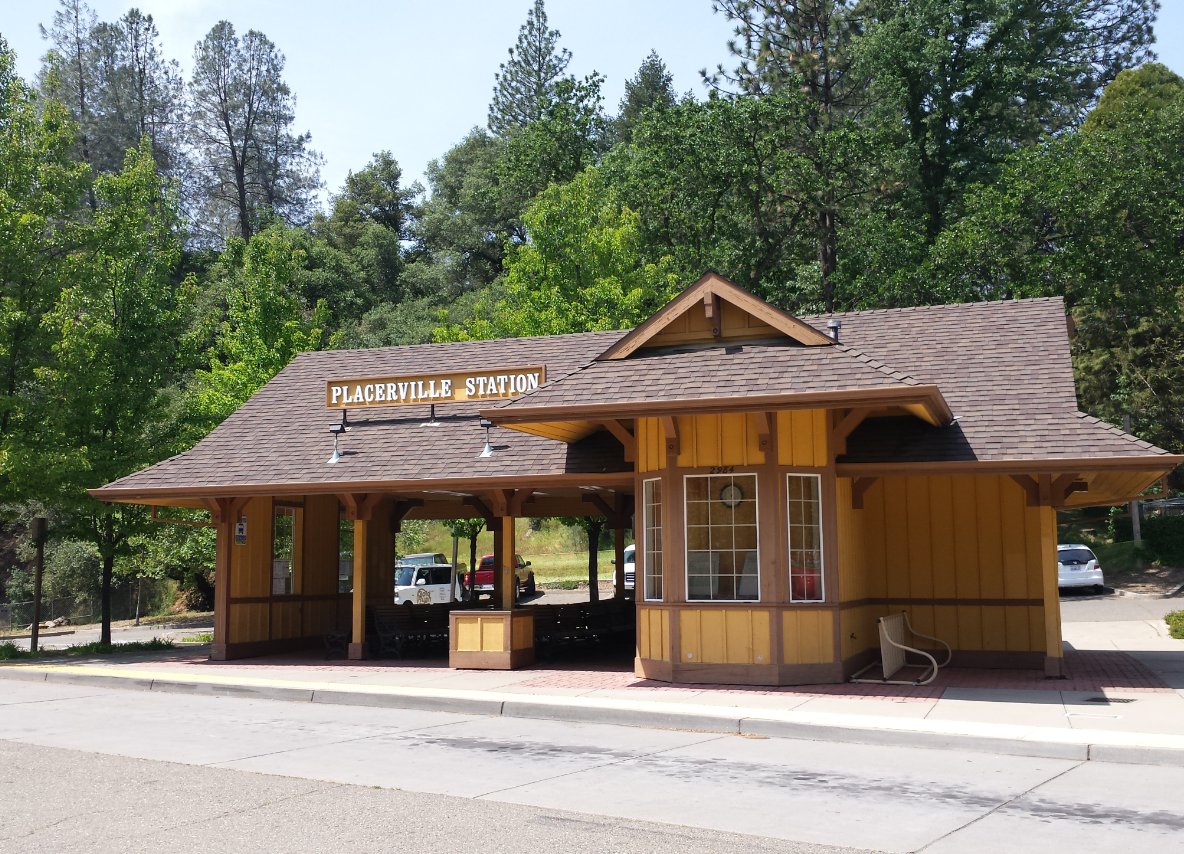
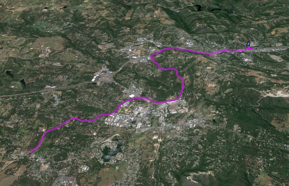
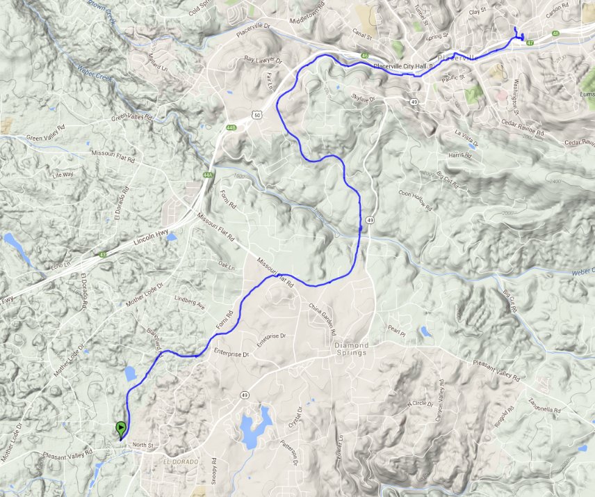
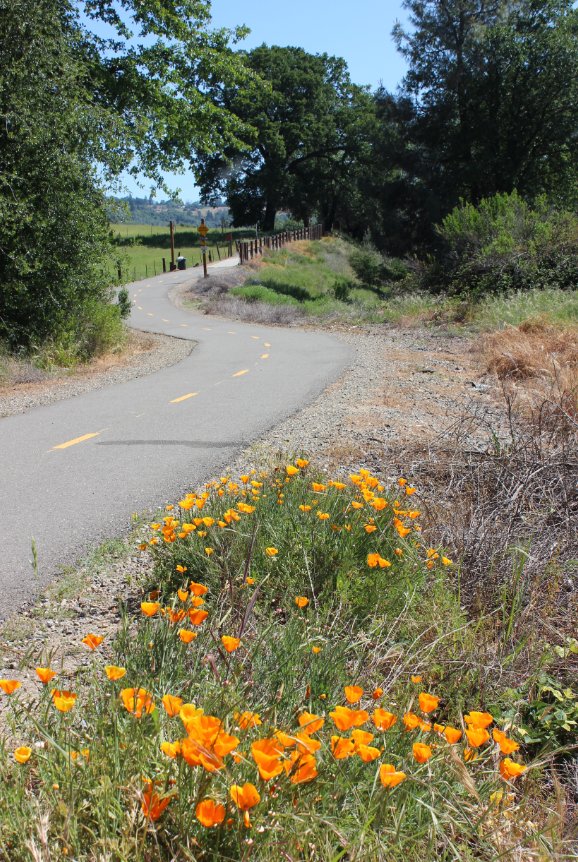
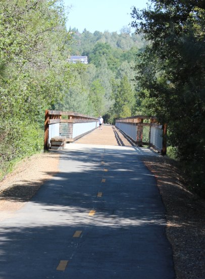
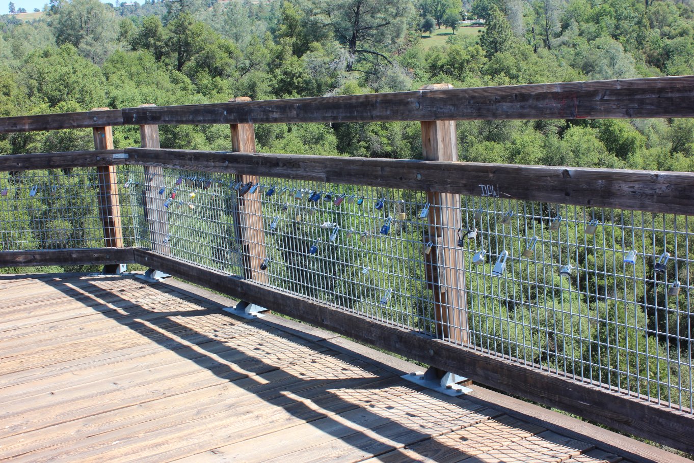
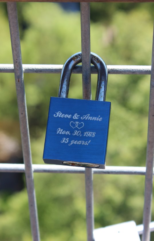
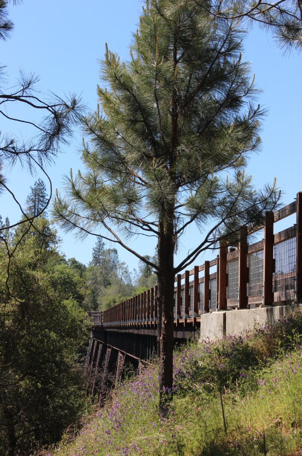
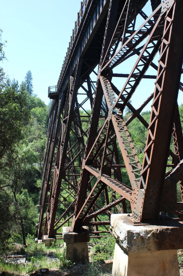
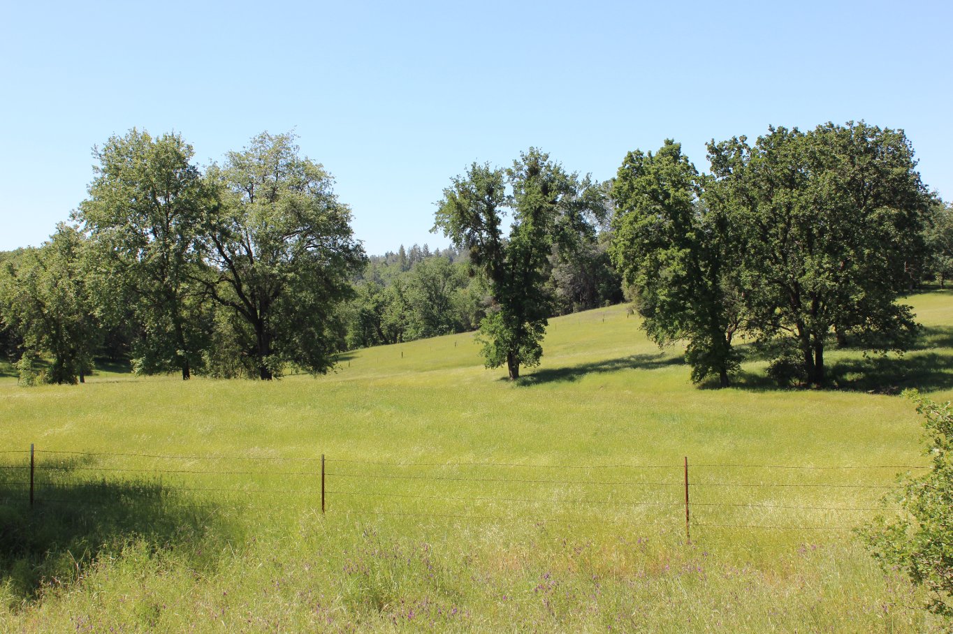
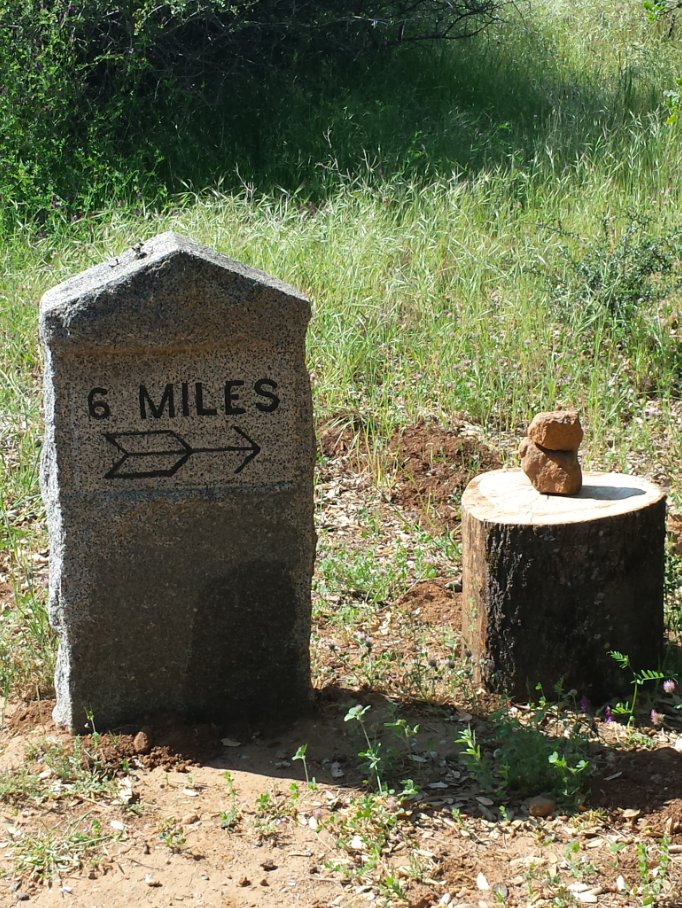
| General Notes: From the trailhead in El Dorado follow the tracks to the east as they bend almost immediately to the north. You can walk along the tracks or use the dirt trail just to the right of the tracks on this section. After about a mile the trail will cross Blanchard Road, and then head due east again. After this point the trail will start to head back north, will cross over the moderately busy Forni Road adn then continue north and east past the Diamond Springs business park on the right. As you near the very busy Missouri Flat Road, the trail will benc east again, and you need to cross Missouri Flat at the light (Golden Center Dr) just on your left as you face the road. Walk back to the parking area across from where the trail hit Missouri Flat, and pick up the bike trail here. This is a well-used section of the trail, with the impressive Weber Creek Trestle about halfway along this section. This section of trail will end at the El Dorado County Jail, and you will need to walk west on Forni Road for about 1/4 mile until you reach Ray Lawyer Dr and the start of the bike trail section again. There is a helpful sign here that will guide you through Placerville on the trail, which disappears for about a mile along Main Street. In Placerville stay on the right side of the road, until you pass the courthouse at Bedford Ave. Cross the street here, and pick up the trail again just past the pedestrian bridge entrance across the highway. This will take you all the way to the parking area in Placerville at the bus depot, and the end of this section. This hike is rated as Moderate only due to the distance of it. The elevation change and the flat, wide surface would otherwise rate it as Easy. |
|||||

