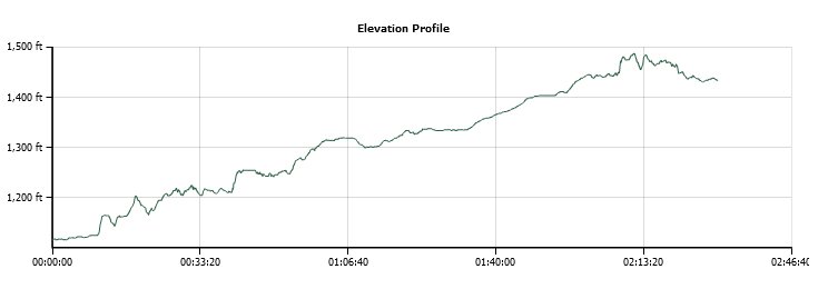
Distance: 6.0 Miles
Vertical Gain: 250'
Group Size: 2
Hike Rating: Easy Moderate Hard Strenuous

 GPX for
this trip
GPX for
this trip
| Start Coordinates: | N 38 36.261, W 120 57.488 | End Coordinates: | N 38 39.878, W 120 55.812 | ||
| Car Shuttle Req'd: | Yes | Parking Directions: | For the starting parking area drive south on S. Shingle Road about 4 1/2 miles to the small parking area for just about three cars on the west side of the road, just a few feet past where the train tracks cross the road. For parking at the end of the section in Shingle Springs, take Motherload Road to a turn onto Sunset Lane on the north side of the road. Turn right on Sunset Lane and find the parking area on your right. | ||
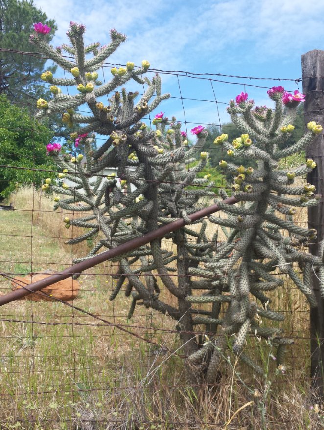
| Hazards of Note: | Rattlesnakes, ticks, poison oak. | Crowd Factor: | Minimal. The section of the El Dorado trail looks to be lightly used, and mostly by mountain bikers based on the number of tracks we saw along the way. | ||
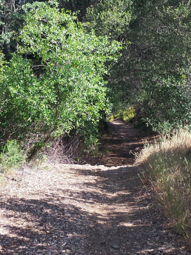
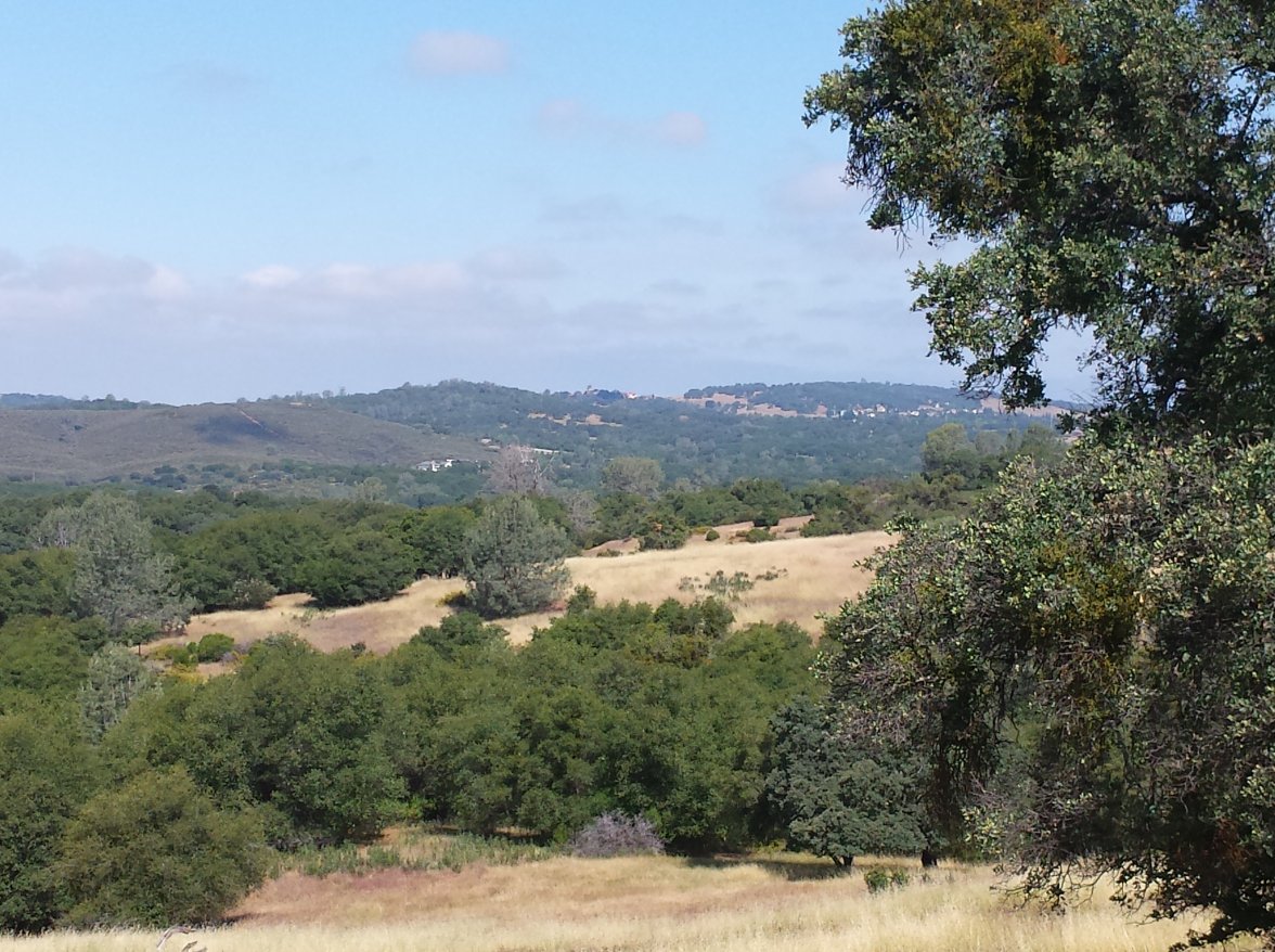
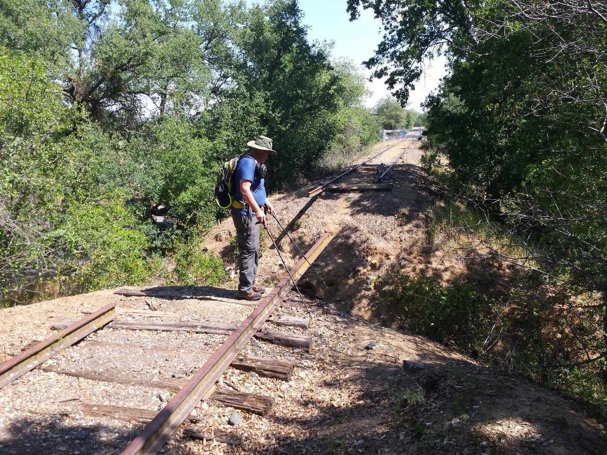
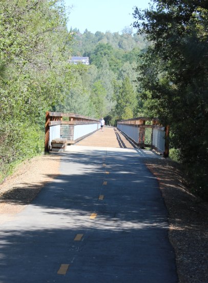
| General Notes: From the trailhead near Bullard head north along the tracks. There is a small trail to the left side, but then this ends and you will head along the trackbed for a short section. A little past this point you will find single track trails on both sides of the railroad tracks, and either are suitable for walking along at this point (for an out and back you can have two different ways to journey!) Soon you will have some open views to the west, including Cameron Park and even the Sacramento Valley in the distance. The trail then continues past a number of large acre parcels in gated communities on the east side of the tracks, with a number of properties sporting livestock, goats, and even a few llamas in one yard. The trail then bends around toward the north, with an open field on the west side which appears to be popular with mountain bikers. A little further up you will see a large RV storage area, which appears to have hundreds of trailers and campers in storage at any time. Cross South Shingle road carefully when you get to that point, and then continue on the trail for the next couple of miles until you finally reach Durock Road in Shingle Springs. Cross this road carefully, and you will soon pass the old Shingle Springs train station, a number of old railroad cars and then finally reach your parking destination and the end of this section. |
|||||
