Distance: 8.0 Miles
Vertical Gain: 200'
Group Size: 1
Hike Rating: Easy Moderate Hard Strenuous

 GPX for
this trip

| Start Coordinates: | N 38 39.878, W 120 55.812 | End Coordinates: | N 38 40.925, W 120 50.841 | ||
| Car Shuttle Req'd: | Yes | Parking Directions: | For the parking area in Shingle Springs, take Motherload Road to a turn onto Sunset Lane on the north side of the road. Turn right on Sunset Lane and find the parking area on your right. For parking in the town of El Dorado, take Pleasant Valley Road to the intersection with Highway 49 south (Across from Poor Reds Bar.) Park in the open lot at the coordinates on the Southwest corner of this intersection. | ||
| Hazards of Note: | Rattlesnakes, ticks, poison oak. | Crowd Factor: | Little to Moderate. This is a fairly long, lightly-visited section of the trail. | ||
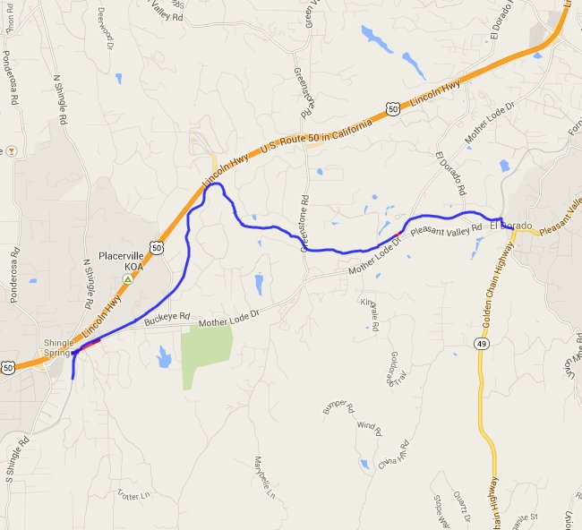
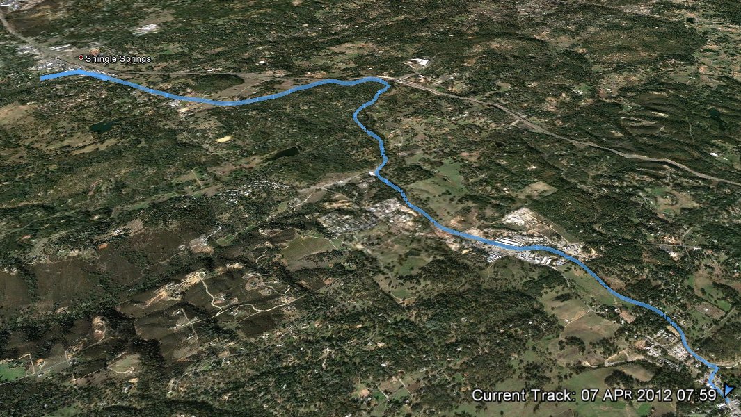
| General Notes: From the trailhead in Shingle Springs, you will head east along the tracks parallelling Motherlode Drive for a little while. The tracks will then bend off to the northeast, and for much of the trip from here there will be little to no company on the way. The trail passes through a very deep cut in the rocks as it nears the highway, but then bends back around toward the southeast once again. There are road crossings at Greenstone Rd and Motherlode Dr along the way to be careful of. When the trail gets close to the town of El Dorado it will bend sharply north, and this is the point where you can then head south to the end parking area. |
|||||

