Distance: 7.0 Miles
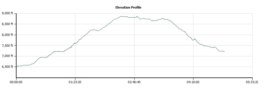
Vertical Gain: 2300'
Group Size: 1
Hike Rating: Easy Moderate Hard Strenuous
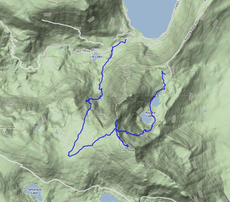
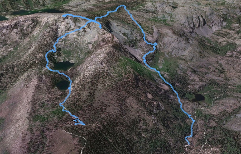
 GPX for
this trip
| Start Coordinates: | N 38 52.660 W 120 04.615 | End Coordinates: | N 38 52.314 W 120 03.756 | ||
| Car Shuttle Req'd: | Yes | Parking Directions: | Drive all the way to the west end of Fallen Leaf Lake Rd, and turn onto Glen Alpine Rd up to the indicated starting coordinates. The trailhead is there, but the sign is hard to find from the road. | ||
| Hazards of Note: | The Tamarack Trail is very strenuous, and can be difficult to follow in places. If you get off trail the area around can be very steep and rocky with loose footing. Watch carefully to stay on the trail | Crowd Factor: | Minimal. You will probably not meet many others along the Tamarack Trail section of the hike. | ||
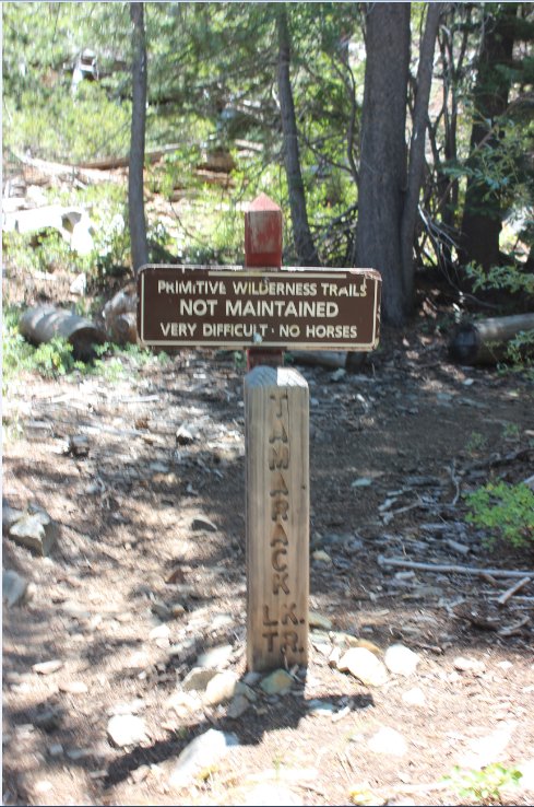
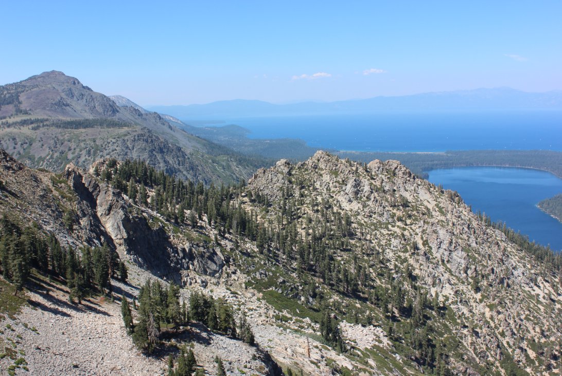
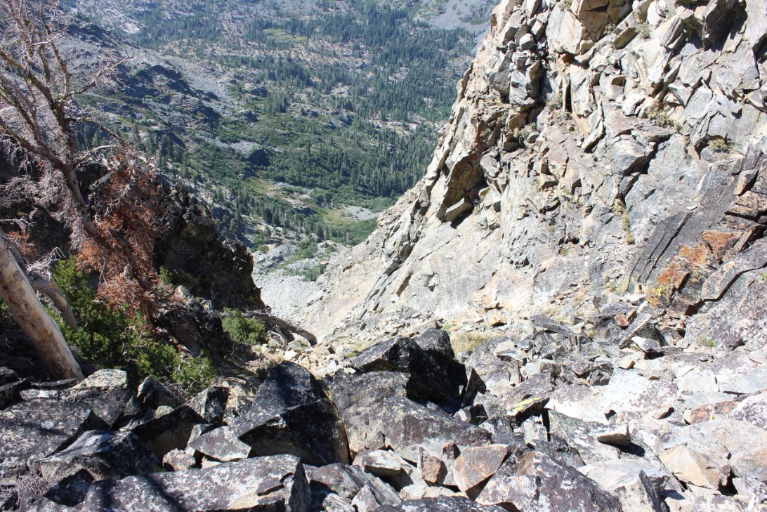
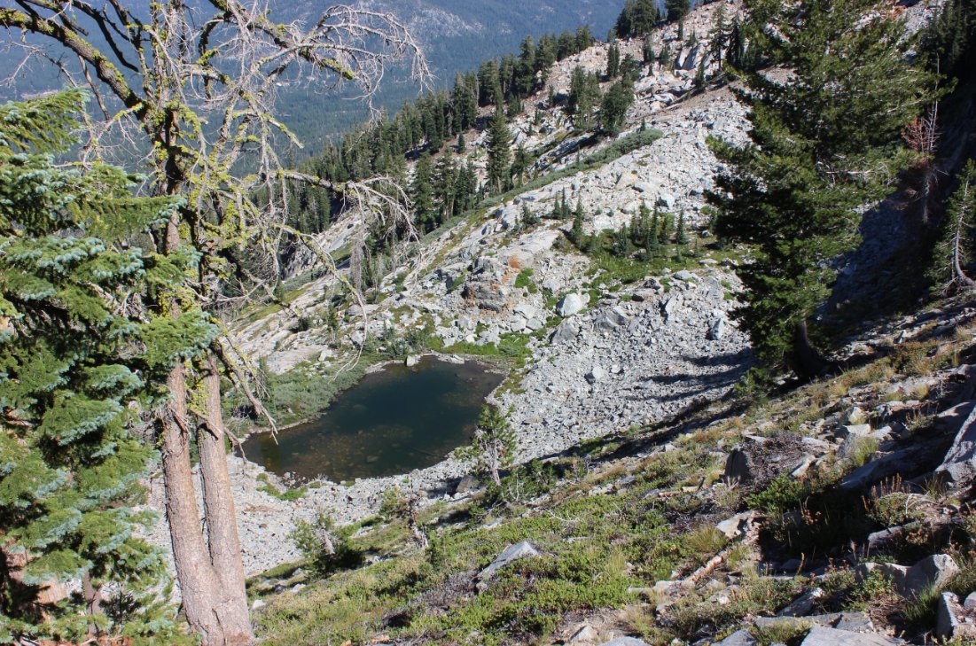
| General Notes: The trailhead for this hike is a little difficult to find, but the coordinates posted above should help. The first couple miles of this trail require some good trail-finding skills to make sure you stay on track. I would recommend using the GPX tracks downloadable from this page to give you a good indication of where the trail heads as it ascends rapidly up into Desolation Wilderness. The section up to Echo Peak from the trail junction near the top of the ridgeline is a breeze, and there are many open areas taking you to the top. I attempted to cross over to Angora Peak along the ridgeline, but just past Indian Rock is a 1000 foot chute to the north which I didn't feel like negotiating, and turned back to head down into the Lake Angora area. When descending from Echo Peak into the Angora Lakes, stay as far to the south as you can, walking past an unnamed tarn (lake) as you descend to the lakes below. Otherwise you will run into sheer granite cliffs between you and your destination which you can see pictured further down on this page. Since this is a hike into Desolation Wilderness, you will need a day permit (free at the trailhead) and the group size limit is 12. |
|||||
