Distance: 3.5 Miles
Vertical Gain: 1600'
Group Size: 3
Hike Rating: Easy Moderate Hard Strenuous
 See
video of hike
See
video of hike
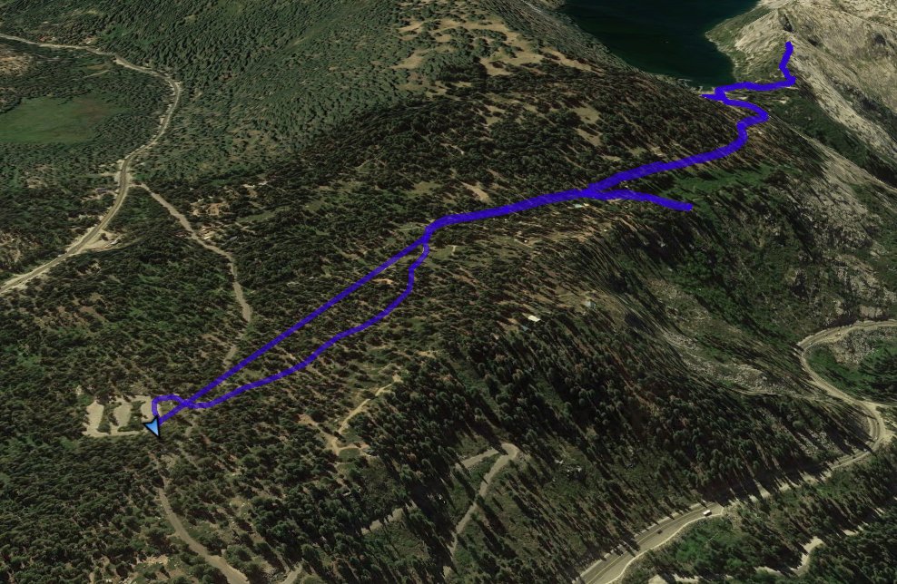
 GPX
for
this trip
GPX
for
this trip
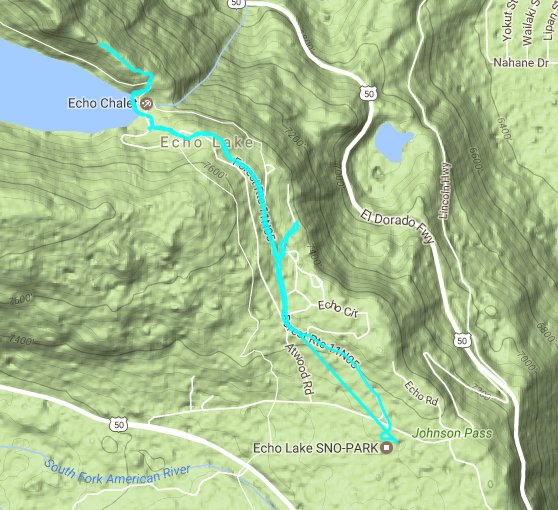
| Start Coordinates: | N 38 49.403, W 120 02.047 | End Coordinates: | Same as Start Coordinates | ||
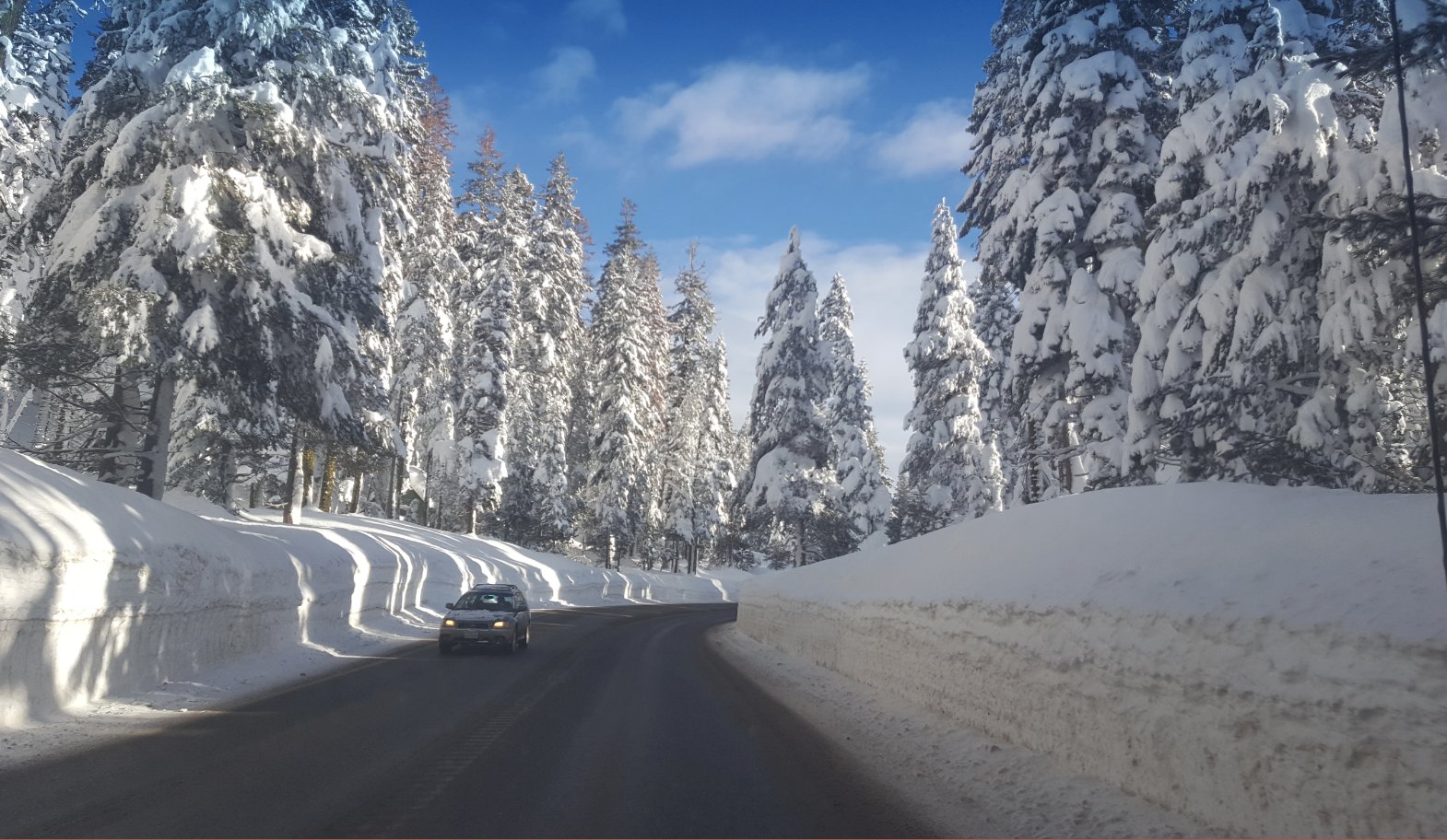
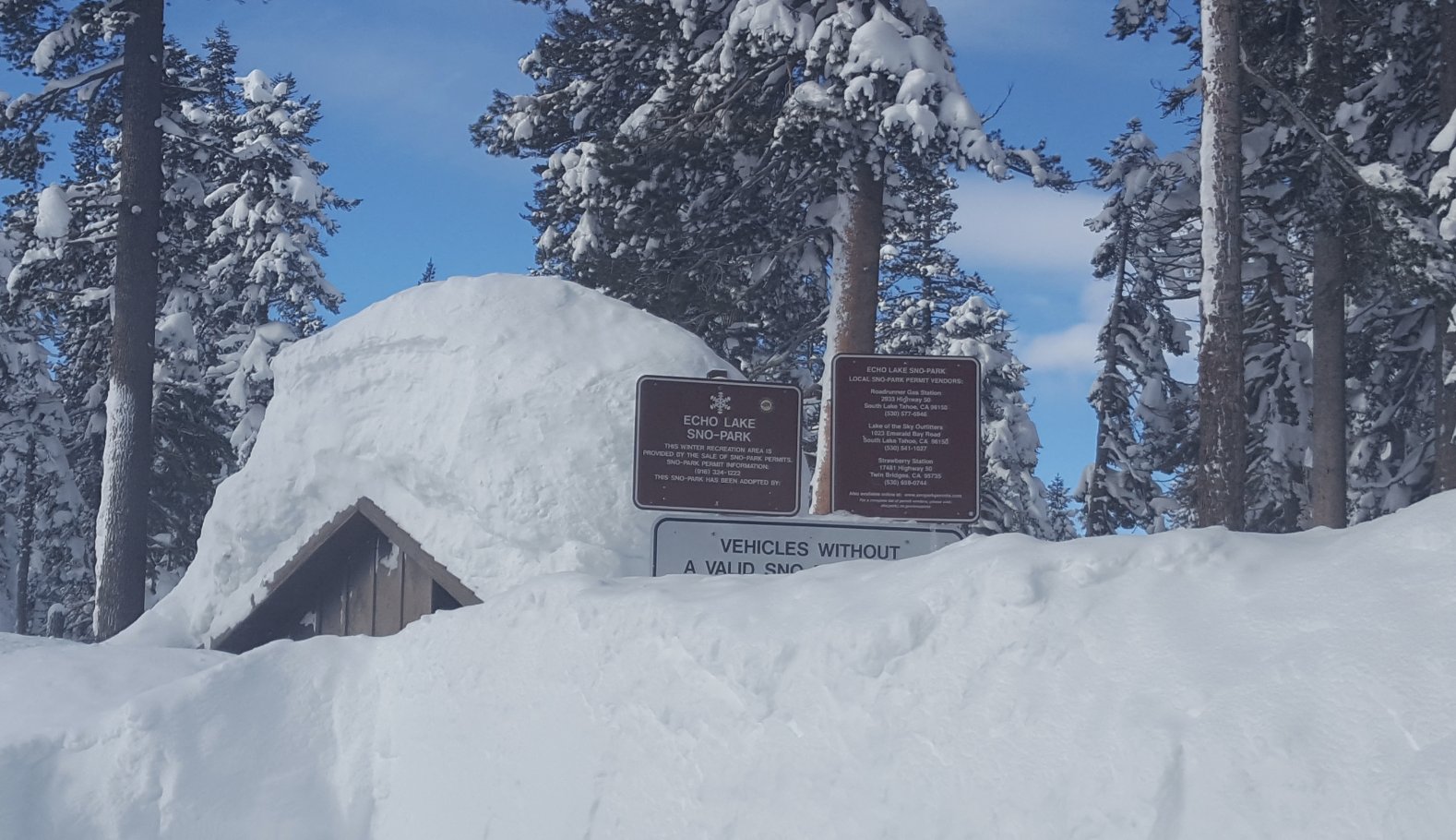
| Car Shuttle Req'd: | No | Parking Directions: | Take Highway 50 to the turnoff (Lincoln Highway) toward Echo Lakes. Turn right into the snow park parking area at the coordinates listed. Be sure to have a winter snow park parking permit for your vehicle to avoid a hefty fine during the winter. | ||
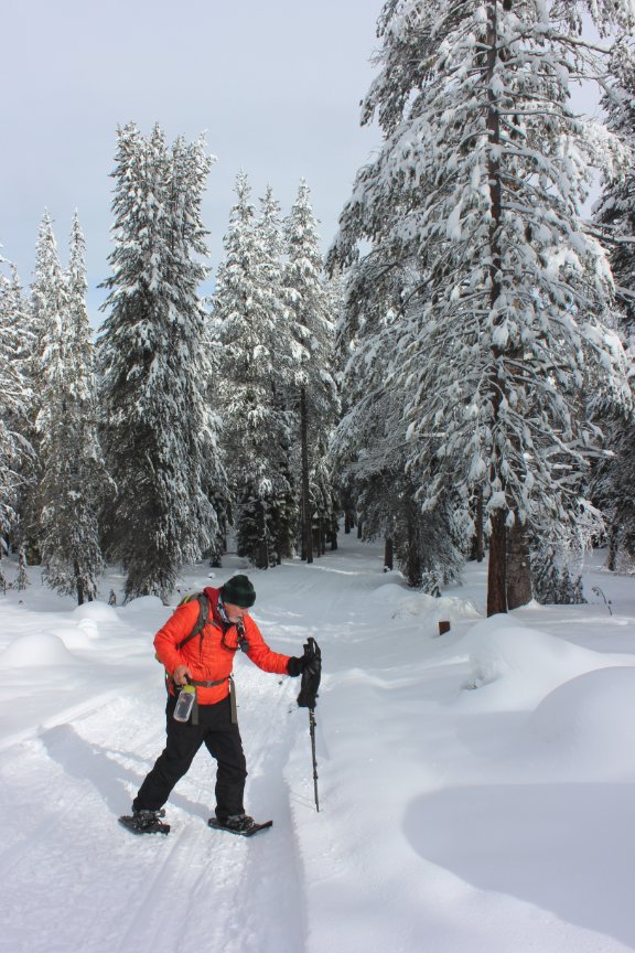
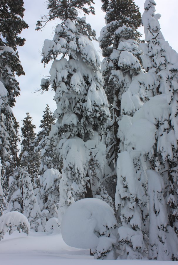
| Hazards of Note: | Deep snow can cause unfamiliarity even if you know the area from snow-free times. | Crowd Factor: | Moderate. This entire area, including Echo Lakes and Becker Peak are popular snowshoe destinations. | ||
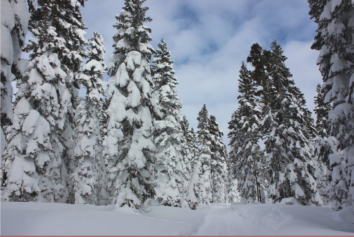
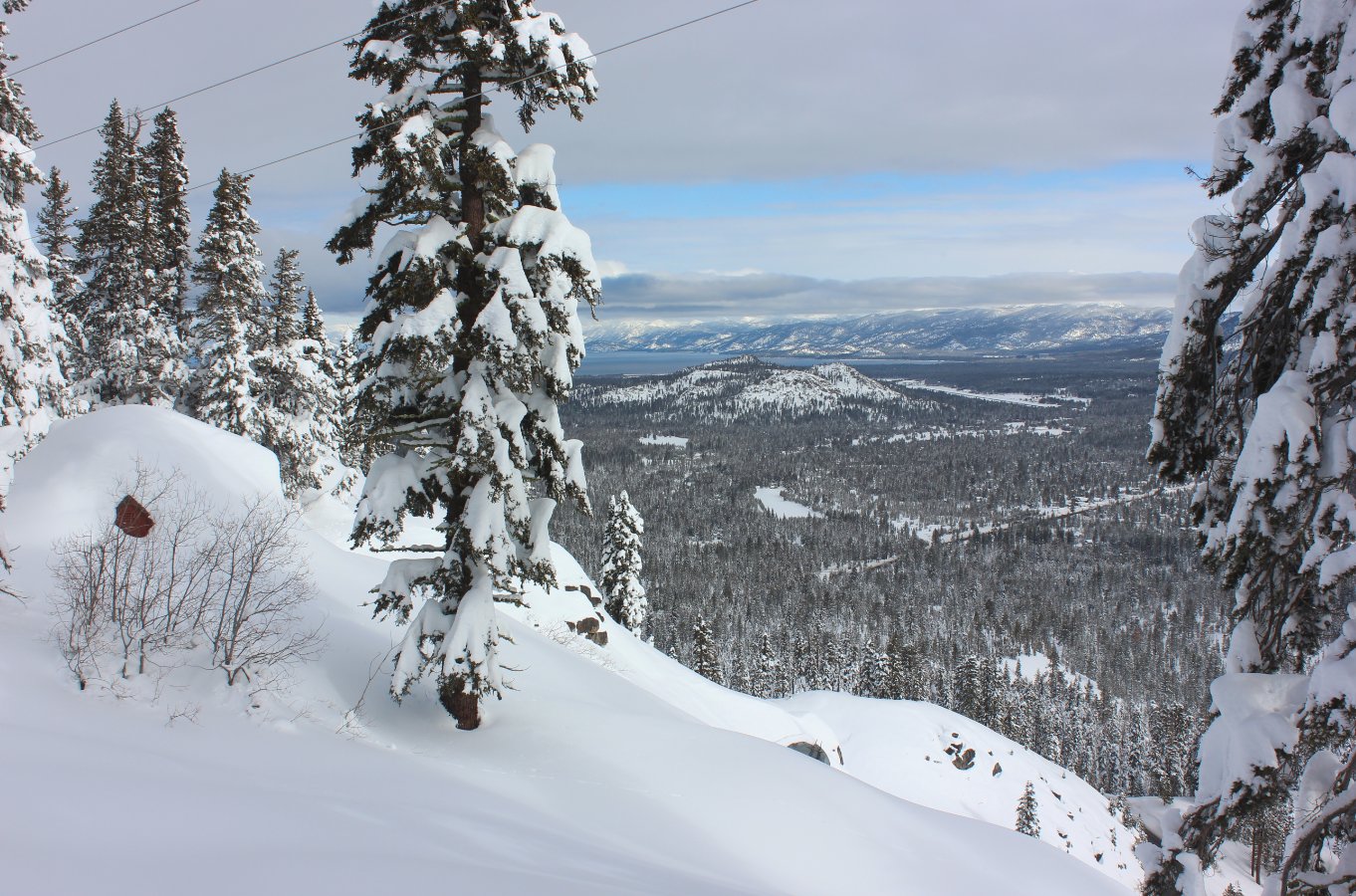
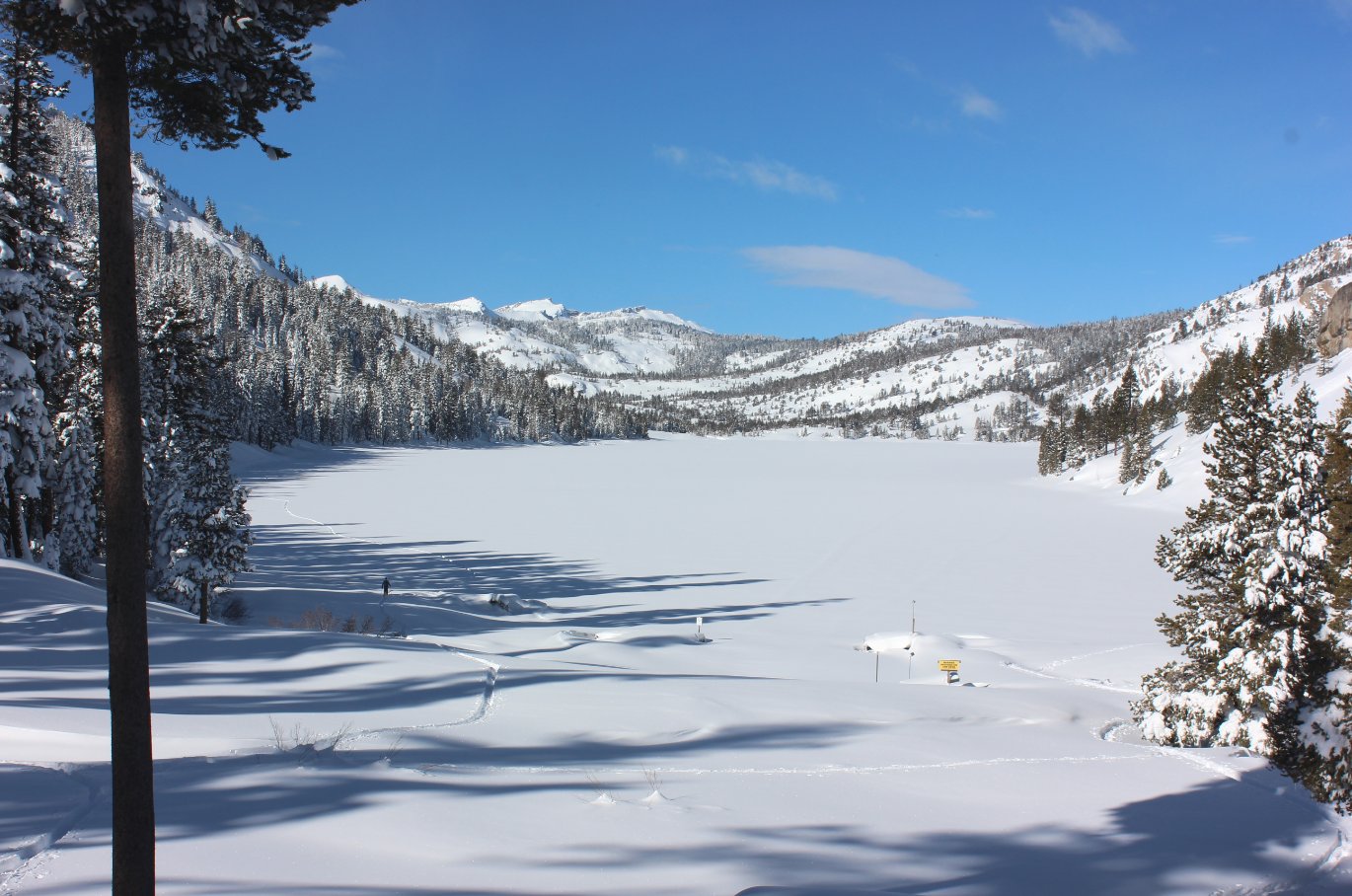
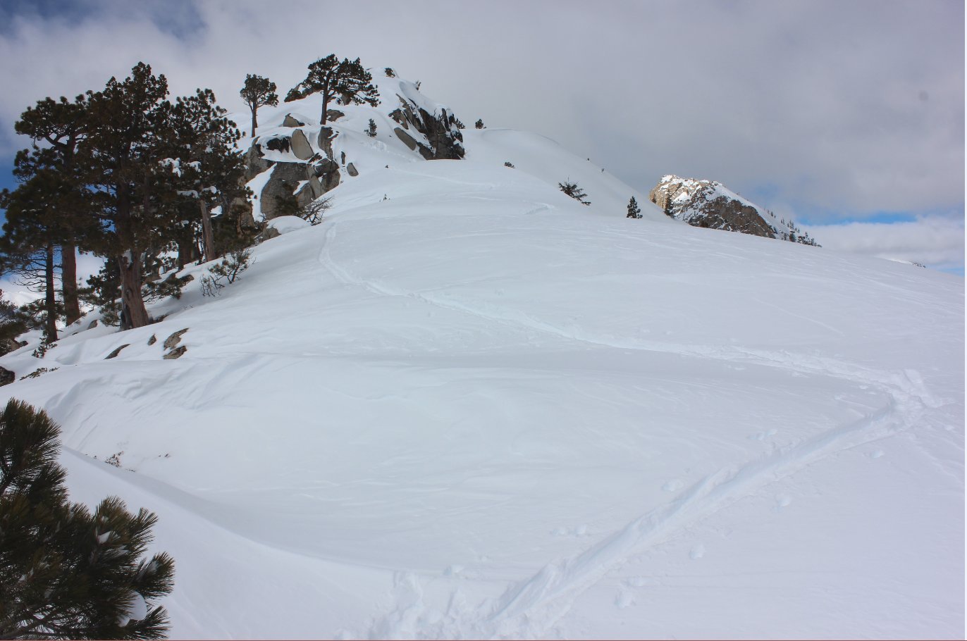
| General Notes: From the parking area cross the road which you came in on and head toward Echo Lake. For the three quarters of a mile you will be on the road into the lake, which is easy to follow from other snow shoe adventurers and cross country skiiers. When you reach the upper parking lot for the lake head down toward the Echo Lake Chalet, and then cross the metal bridge over the spillway from the lake. Head on up the trail and then continue up the ridgeline as far as you wish to explore. There are great views toward Lake Tahoe to the east and Echo Lake and beyond to the west and northwest. |
|||||