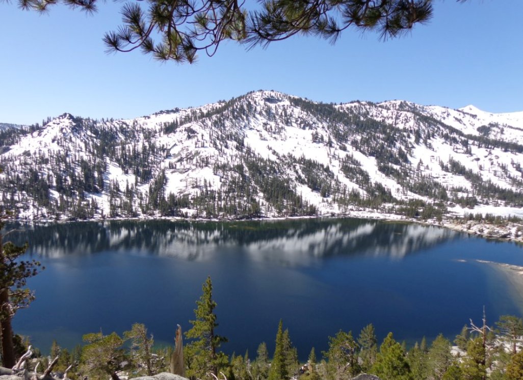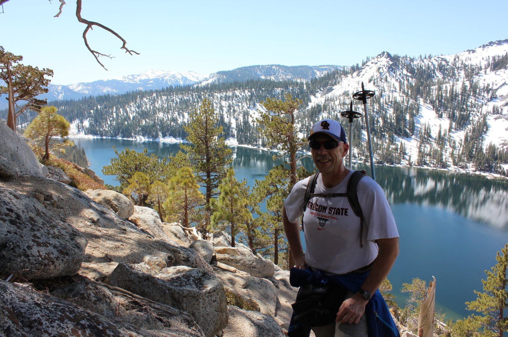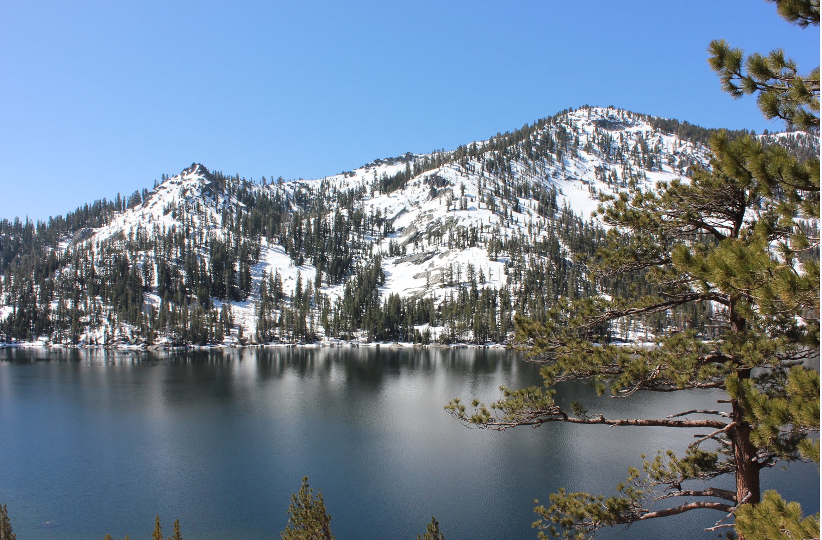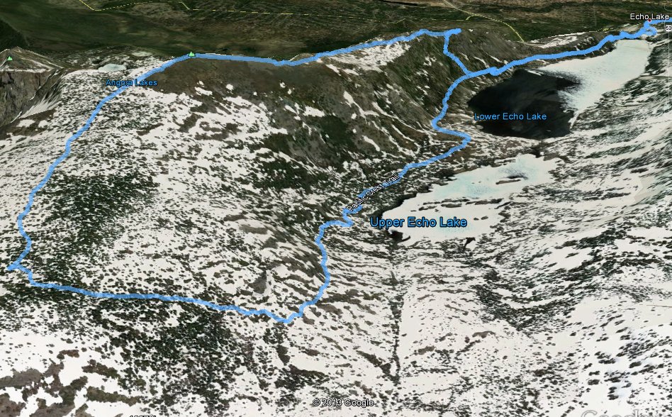
Distance: 9.2 Miles
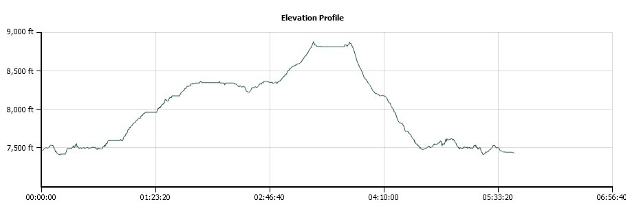
Vertical Gain: 1400'
Group Size: 4
Hike Rating: Easy Moderate Hard Strenuous
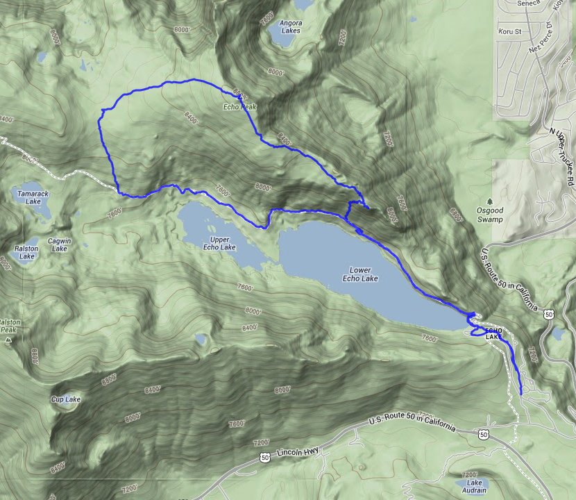
 GPX for
this trip
| Start Coordinates: | N 38 50.063 W 120 02.633 | End Coordinates: | Same as Start Coordinates | ||
| Car Shuttle Req'd: | No | Parking Directions: | Take Highway 50 toward Echo Summit. Turn north on the signed road to Echo Lakes (Lincoln Highway.) Turn northin again on Porcupine Road, following this all the way down to the Echo Lake Chalet parking area (or as far as possible in winter conditions.) | ||
| Hazards of Note: | Rocky terrain on this section of the Pacific Crest Trail. | Crowd Factor: | Busy, especially on weekends. Parking may need to be back on the road or in the overflow lot during summer if not arriving very early in the day. | ||
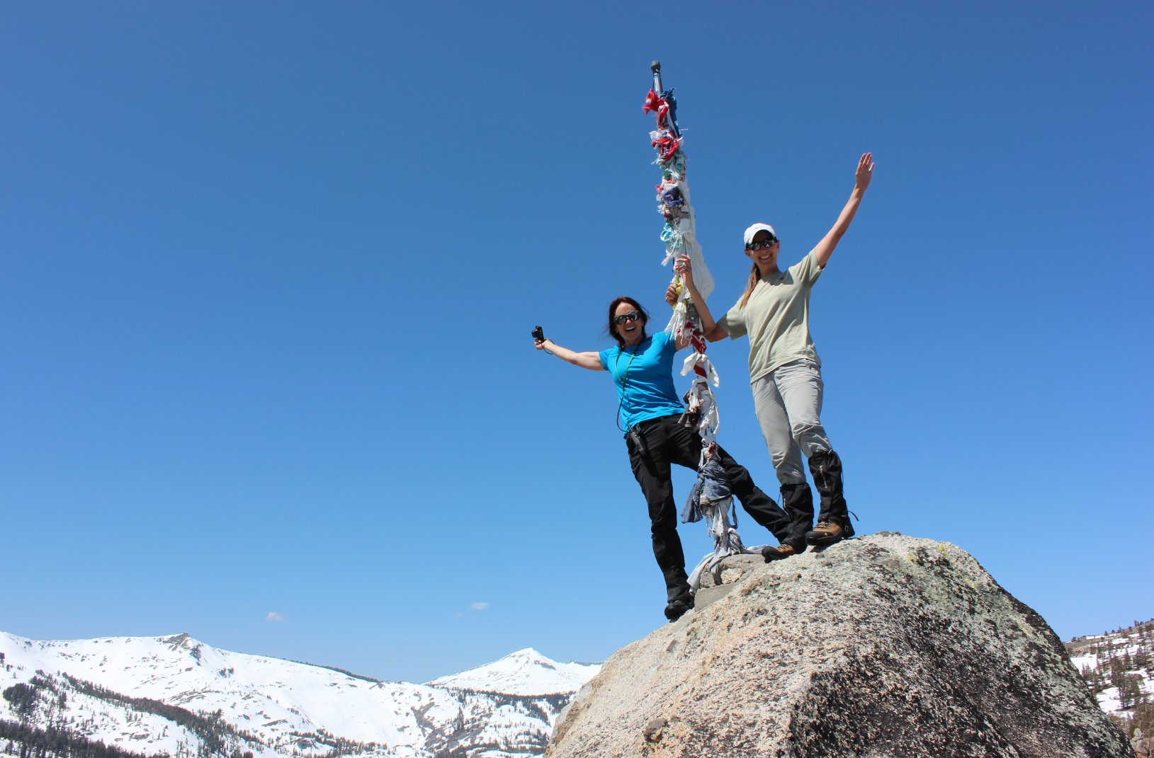
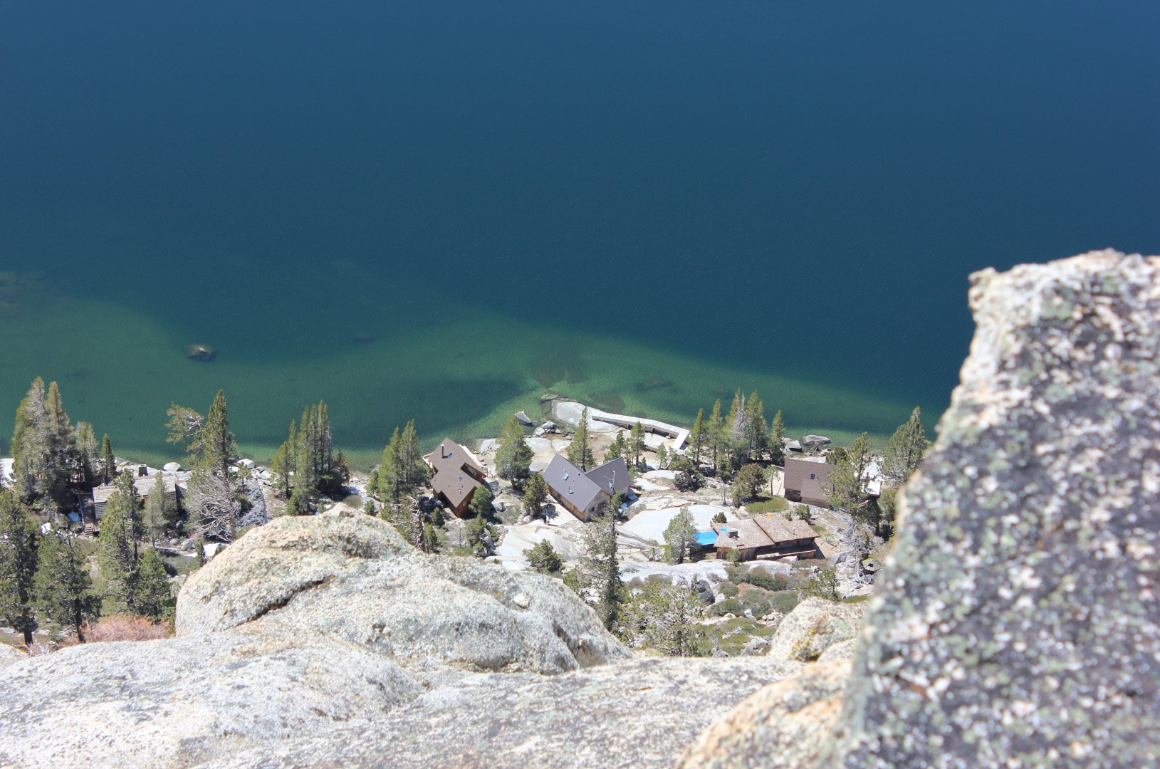
| General Notes: This hike follows the Pacific Crest trail for about a mile and a half until you cut up to the top of Flagpole peak AFTER you pass the peak by on your right. Alternatively, you can take the summer boat shuttle from Echo Lake Chalet for a moderate fee ($30/person in 2014) to the end of Upper Echo Lake. This will place you closer to the Echo Peak summit, and then the ridgeline can be walked back south toward Flagpole peak if that is desired. The climb or descent to/from Flagpole Peak to the Pacific Crest Trail is very steep and good judgement will need to be exercised in choosing your route. Since this is a hike into Desolation Wilderness, you will need a day permit (free at the trailhead) and the group size limit is 12. |
|||||

