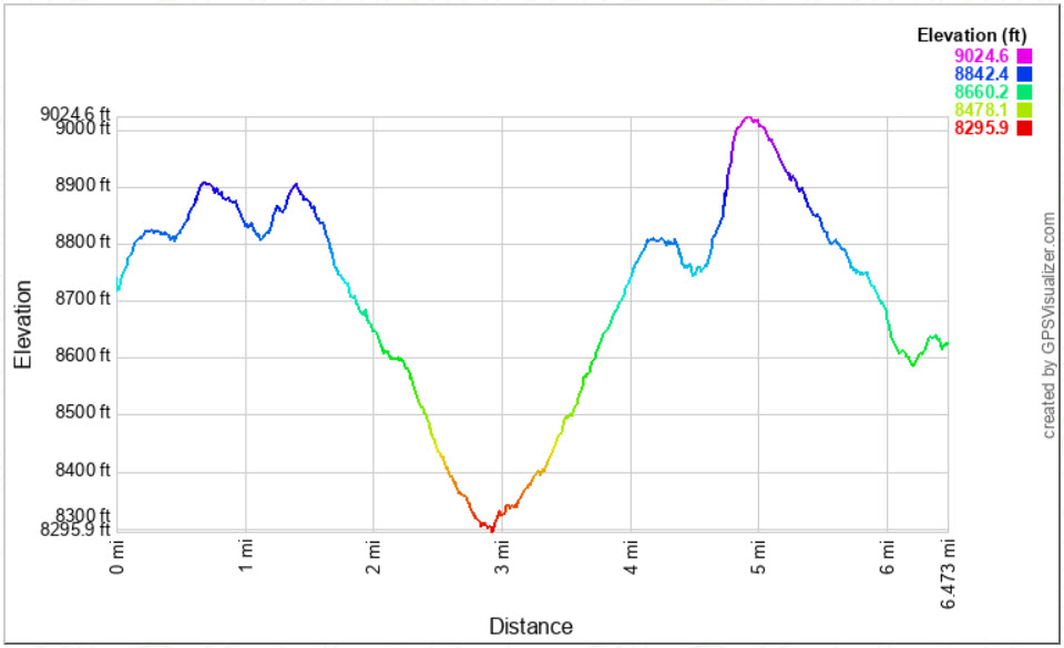
Distance: 6.5 Miles
Vertical Gain: 1000'
Group Size: 4
Hike Rating: Easy Moderate Hard Strenuous
 GPX for
this trip
GPX for
this trip
| Start Coordinates: | N 38 32.669, W 119 48.703 | End Coordinates: | N 38 41.697 W 119 59.363 | ||
| Car Shuttle Req'd: | Yes | Parking Directions: | Start of Hike - Take Highway 4 to the parking area right across the road from the Ebbetts Pass elevation sign and just east of the Stanislaus National Forest boundary sign. There is a dirt parking lot here able to accomodate 8 vehicles. There is also a PCT parking area off the road a little to the east of this spot at the top of Ebbetts Pass. End of Hike - Take Highway 88 to the parking area at the Carson Pass information station on the west side of the road. Pay the day use fee (summer only) and find the trailhead just to the right side (north) of the information station itself. |
||
| Hazards of Note: | Varied terrain along the entire section of PCT, including many loose volcanic base parts. |
Crowd Factor: | Moderate. The entire way is on the PCT and the number of other hikers will go up as you near popular trailheads such as at Blue Lakes Rd and Carson Pass. | ||
| General
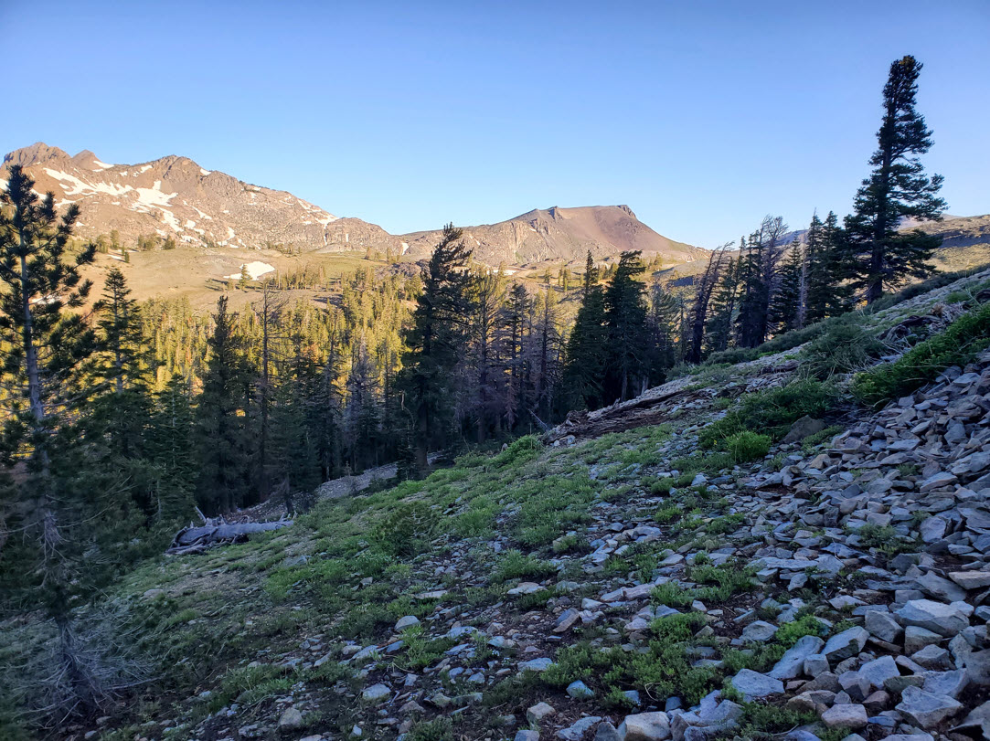
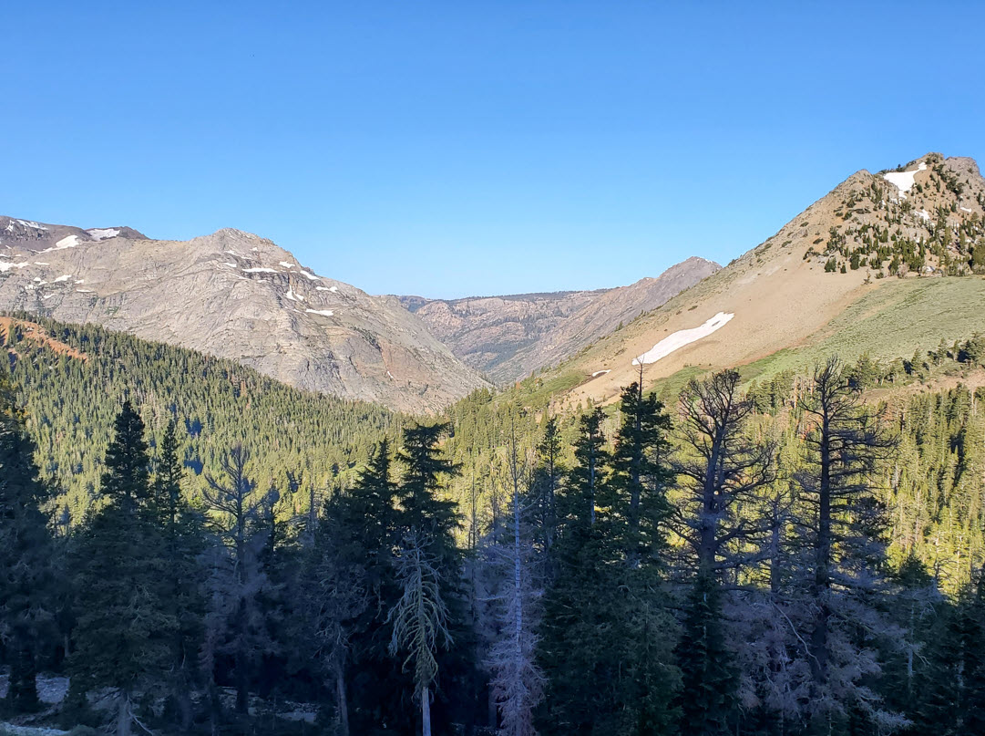
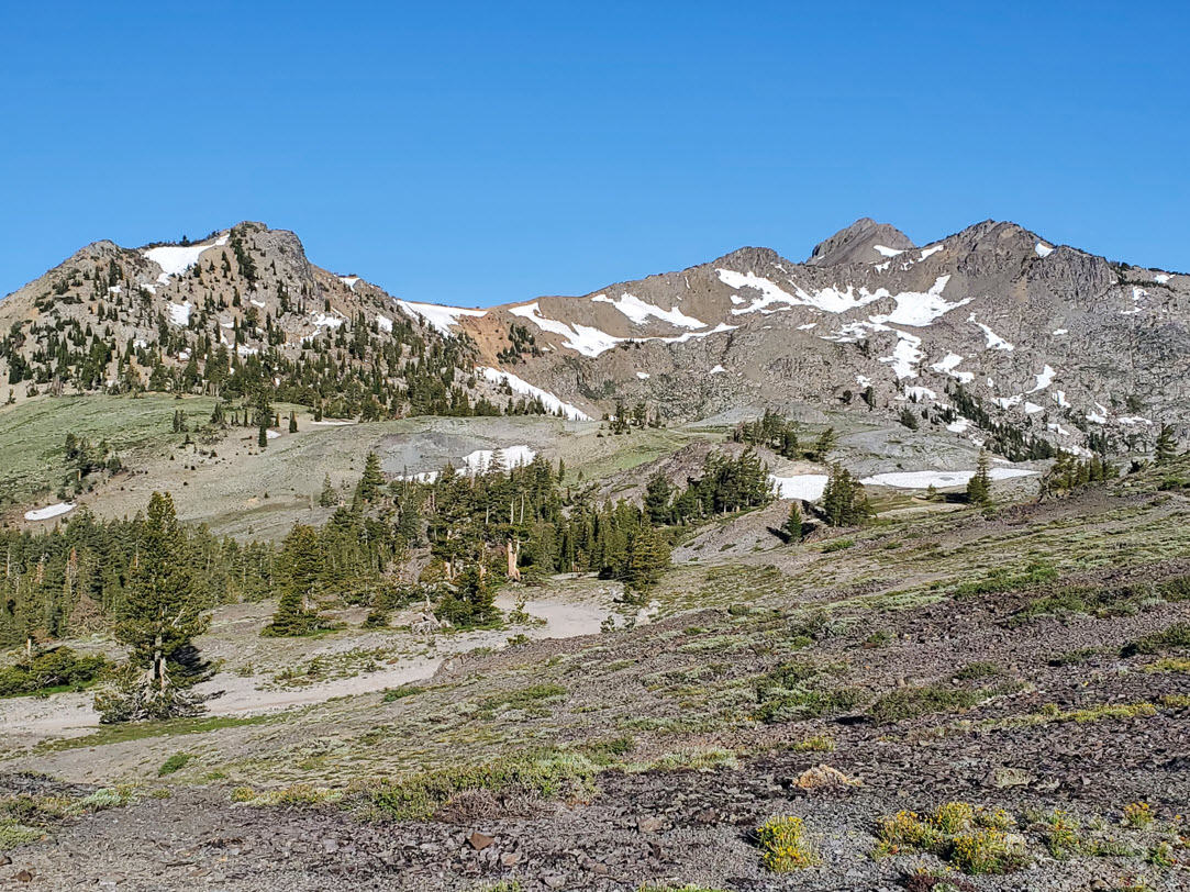
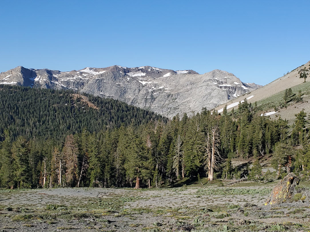
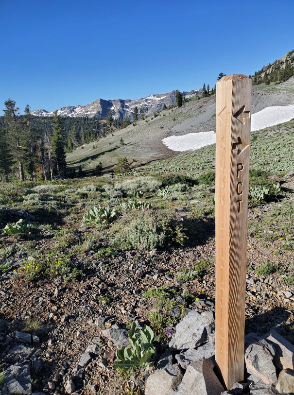
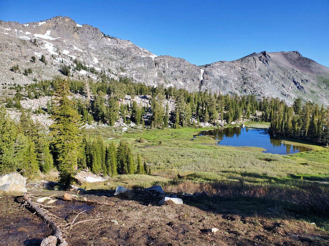
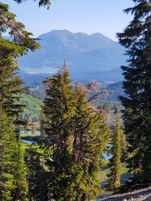
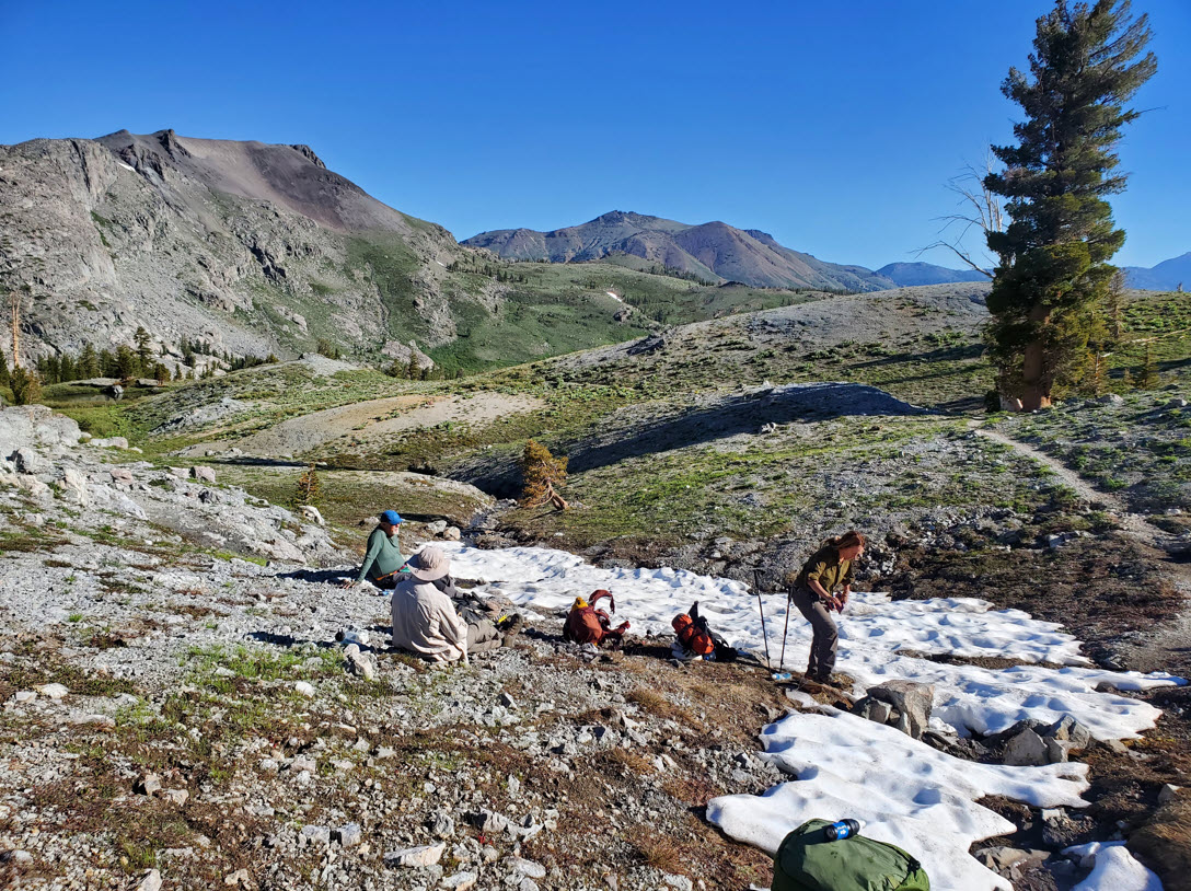
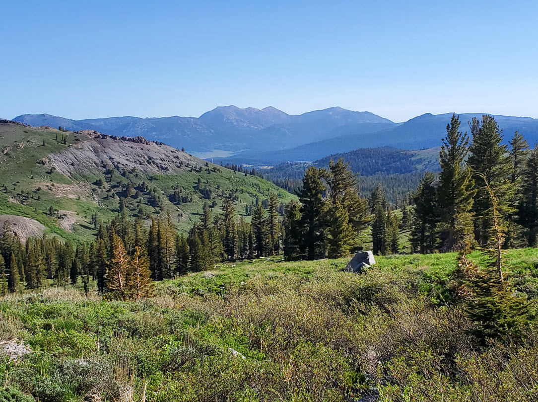
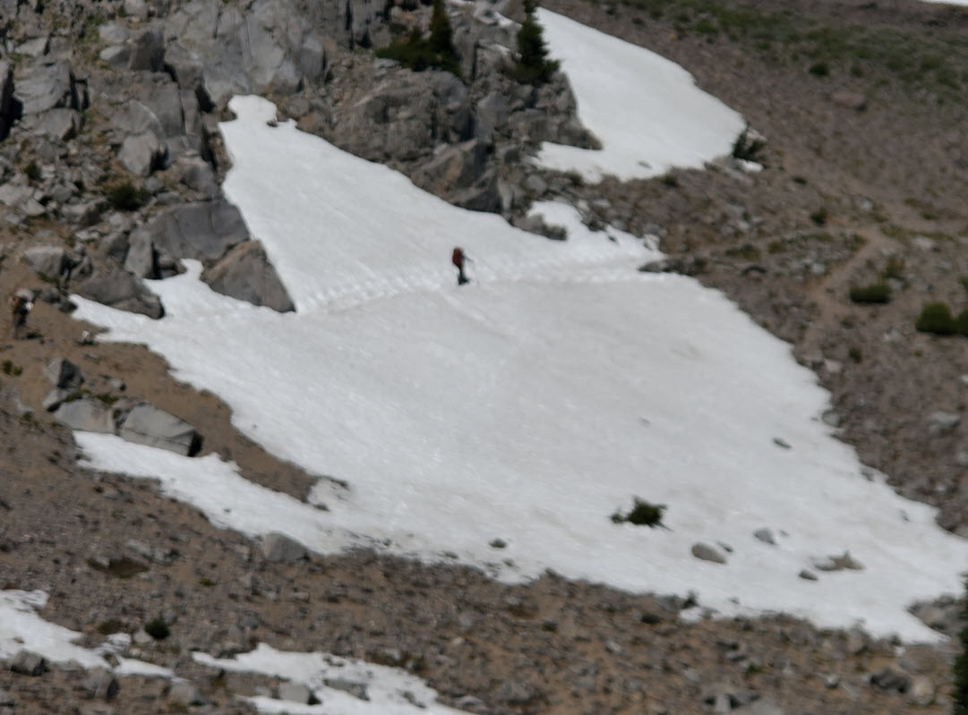
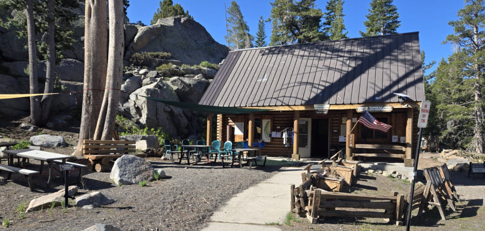
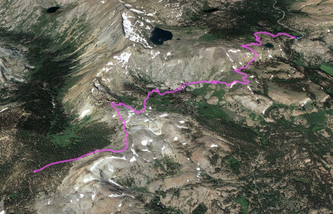
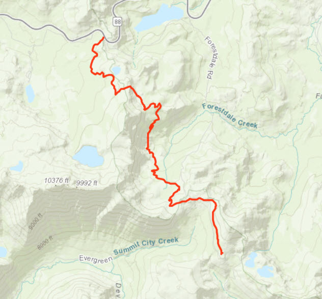
Notes: The last day of the backpack trip was the shortest, at just about 6 1/2 miles of trail, but the scenery was pretty amazing right from the start. An early climb leads to the Forestdale Divide, and along the way are rare views into the heart of Summit City Canyon off to the west of the PCT. The steep backside of Round Top Peak is also visible, and as you get higher there is the bonus of full views of Hope Valley to the Northeast and the Freel/Job's/Job's Sister peaks beyond. Heading down into the valley to the north of Forestdale Divide you might come face to face with a jeeper or two heading up in the rough road toward the Lost Lakes, but then you switchback down into a lush area of meadow, water and abundant flowers until you reach the base of Elephant's Back mountain. Here begins the last earnest climb of this section of the PCT and it is the longest one of the day. 700' of elevation later finds you at a long stretch of trail headed directly north, but on this day included a lot of snow on a pretty steep slope that one of us (me) elected to bypass by dropping down into the meadow area below it. The others made it successfully across the snow but it was treacherous. Finally the PCT will connect up with the Lake Winnemucca trail for the last mile, until you reach Highway 88 and the Carson Pass Information Station, the end of the journey. |
|||||