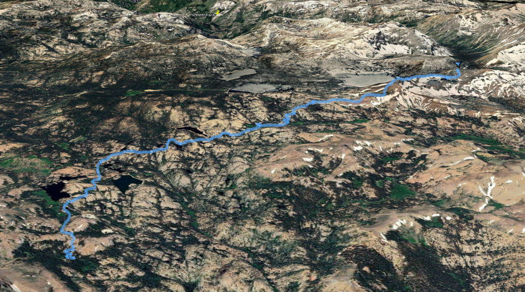
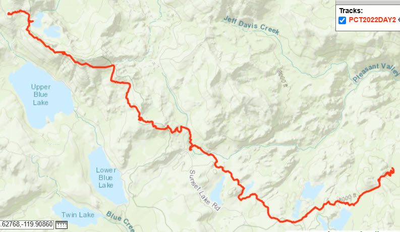
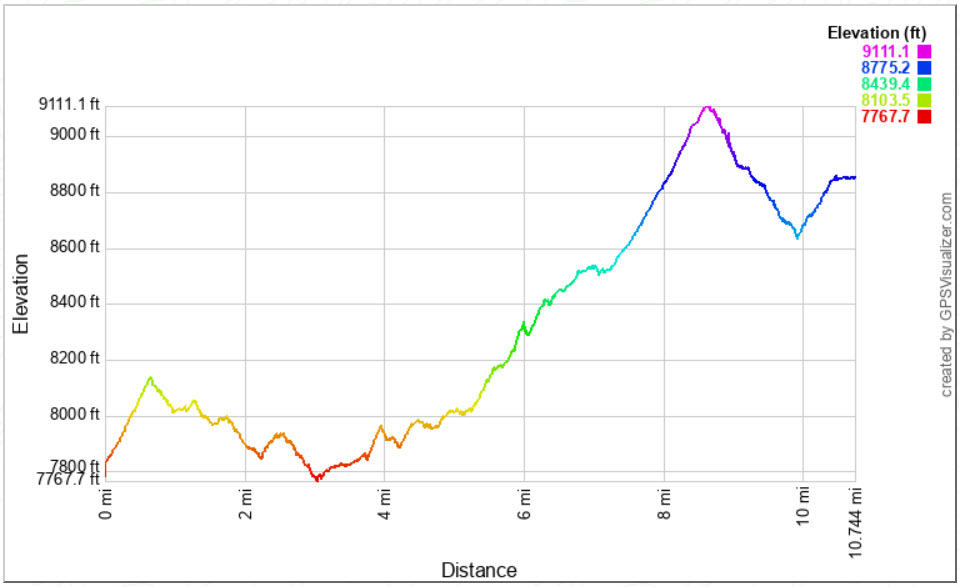
Distance: 10.75 Miles
Vertical Gain: 1800'
Group Size: 4
Hike Rating: Easy Moderate Hard Strenuous
 GPX for
this trip
GPX for
this trip
| Start Coordinates: | N 38 32.669, W 119 48.703 | End Coordinates: | N 38 41.697 W 119 59.363 | ||
| Car Shuttle Req'd: | Yes | Parking Directions: | Start of Hike - Take Highway 4 to the parking area right across the road from the Ebbetts Pass elevation sign and just east of the Stanislaus National Forest boundary sign. There is a dirt parking lot here able to accomodate 8 vehicles. There is also a PCT parking area off the road a little to the east of this spot at the top of Ebbetts Pass. End of Hike - Take Highway 88 to the parking area at the Carson Pass information station on the west side of the road. Pay the day use fee (summer only) and find the trailhead just to the right side (north) of the information station itself. |
||
| Hazards of Note: | Varied terrain along the entire section of PCT, including many loose volcanic base parts. |
Crowd Factor: | Moderate. The entire way is on the PCT and the number of other hikers will go up as you near popular trailheads such as at Blue Lakes Rd and Carson Pass. | ||
| General
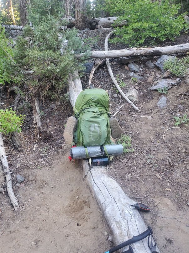
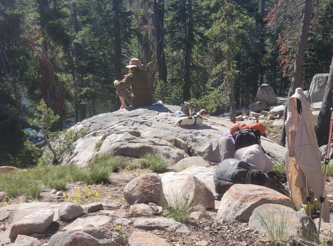
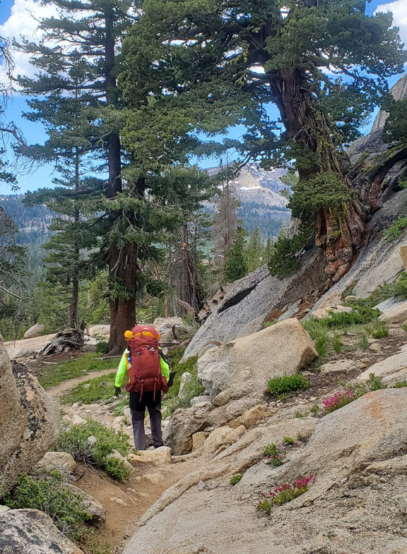
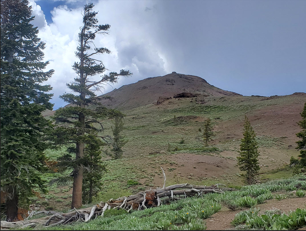
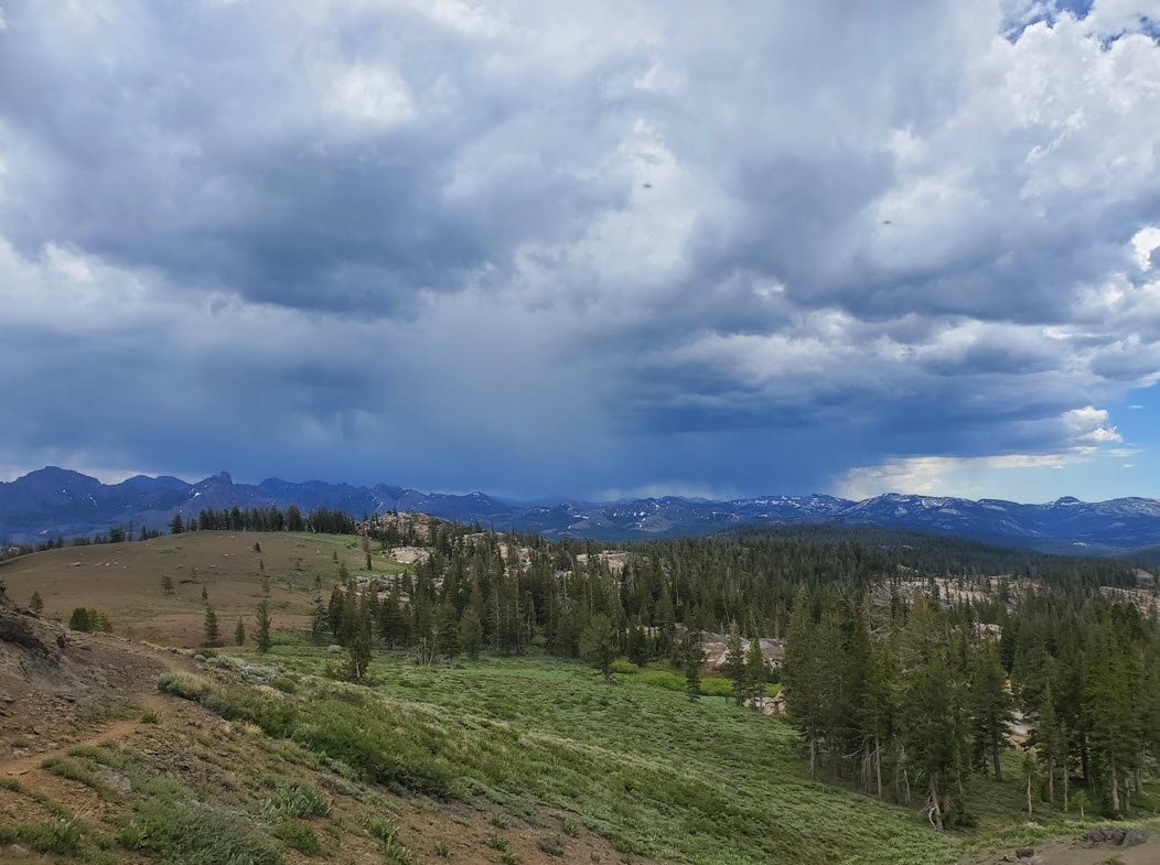
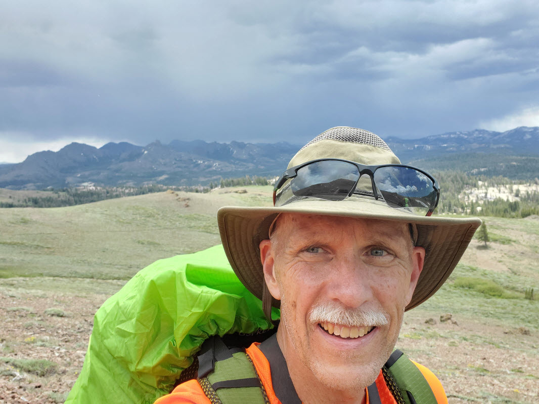
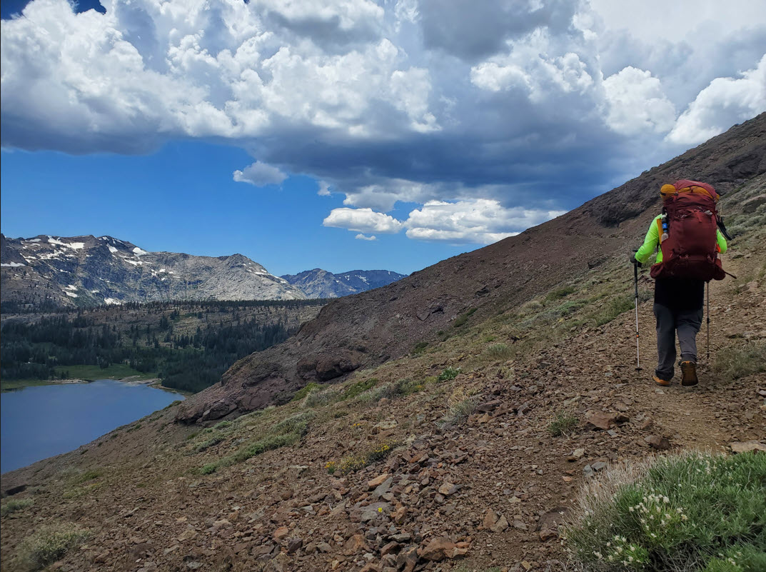
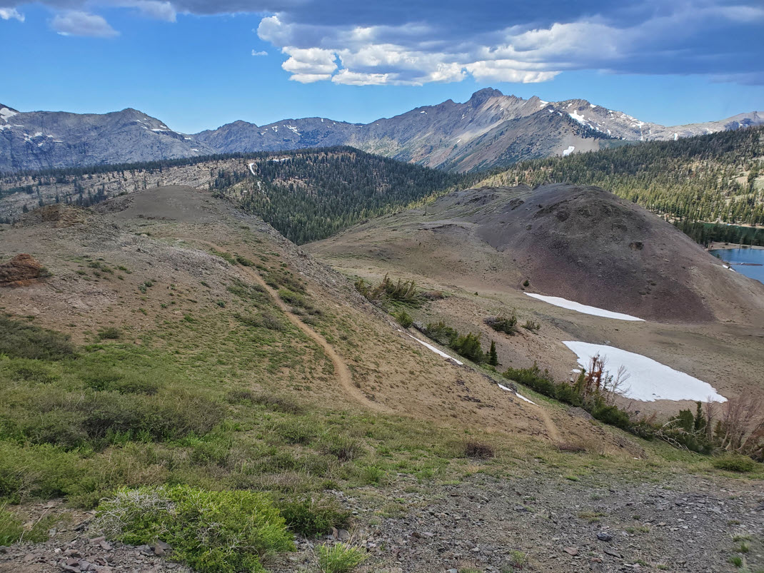
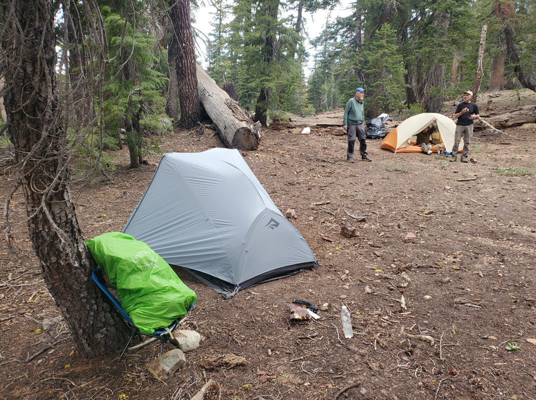
Notes: Heading out from the first night campsite we continued north on the PCT, passing Upper Sunset Lake, Lily Pad Lake, and then Tamarack Lake where we found a nice spot for a mid-morning snack and a breather before the upcoming climb. Passing through the Tamarack Lake PCT parking area just south of Blue Lakes road, which include well-maintained pit bathrooms, we crossed the road and began a climb around the west side of The Nipple, a distinctive OGUL peak that can also be a worthy side trip for its phenomenal views. Our pace picked up significantly at this point, as a large thunderstorm could be seen developing to the south and heading quickly our way. This section of the trail is mostly volcanic rock base, and there are sections that are narrow with a bit of exposure to drop-offs on the west side that need to be carefully travelled. The Lost Lakes basin is the next section the trail reaches, and near the north end of the lake the PCT passes we met a couple who had their truck parked next to the trail with 'trail magic' of hot dogs and iced cold gatorade. Although we were just section hiking they insisted we partake in their generosity, which we did. It was greatly appreciated. We then decided to head on another 3/4 mile past the Lost Lakes, setting up camp in a nice open area that didn't have water, but we brought back enough from Lost Lakes after setting up camp for our dinner and upcoming breakfast. Timing for setting up our camp was good, as we were able to duck into our tents as the main part of the thunderstorm passed on by and remain completely dry. |
|||||