Distance: 12.5 Miles
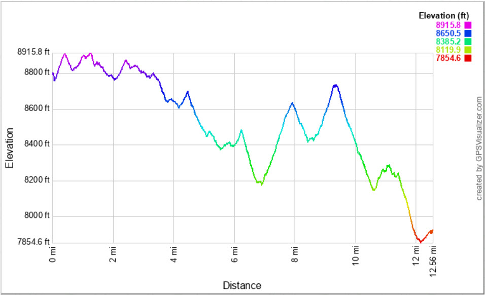
Vertical Gain: 1100'
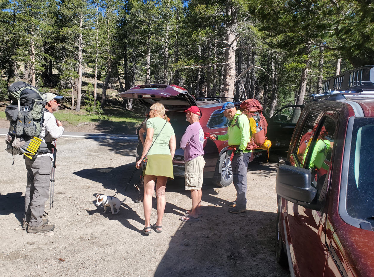
Group Size: 4
Hike Rating: Easy Moderate Hard Strenuous
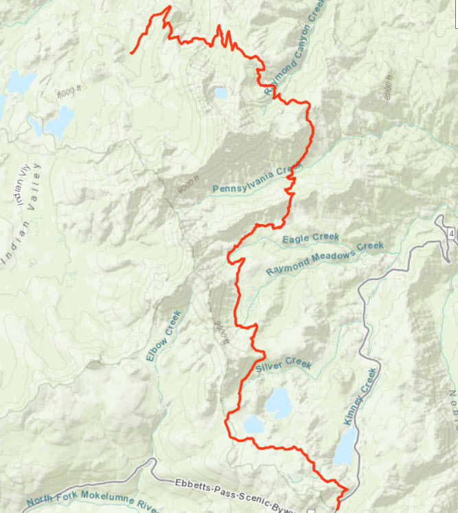
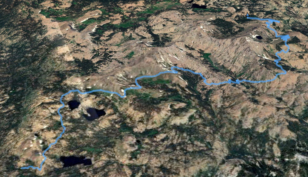
 GPX for
this trip
GPX for
this trip
| Start Coordinates: | N 38 32.669, W 119 48.703 | End Coordinates: | N 38 41.697 W 119 59.363 | ||
| Car Shuttle Req'd: | Yes | Parking Directions: | Start of Hike - Take Highway 4 to the parking area right across the road from the Ebbetts Pass elevation sign and just east of the Stanislaus National Forest boundary sign. There is a dirt parking lot here able to accomodate 8 vehicles. There is also a PCT parking area off the road a little to the east of this spot at the top of Ebbetts Pass. End of Hike - Take Highway 88 to the parking area at the Carson Pass information station on the west side of the road. Pay the day use fee (summer only) and find the trailhead just to the right side (north) of the information station itself. |
||
| Hazards of Note: | Varied terrain along the entire section of PCT, including many loose volcanic base parts. |
Crowd Factor: | Moderate. The entire way is on the PCT and the number of other hikers will go up as you near popular trailheads such as at Blue Lakes Rd and Carson Pass. | ||
| General
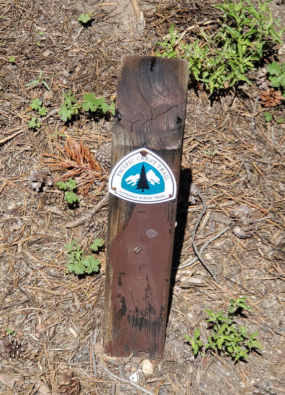
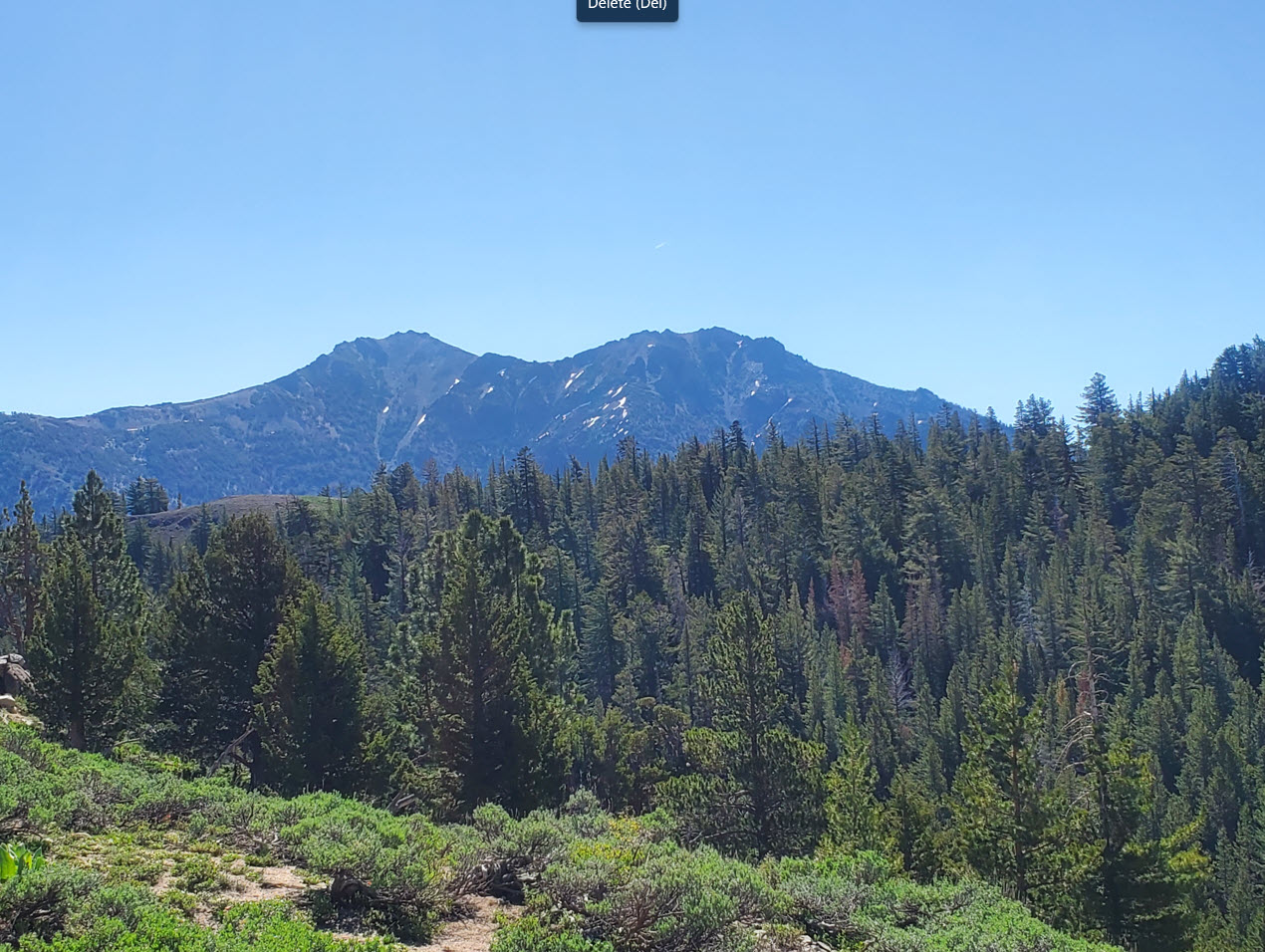
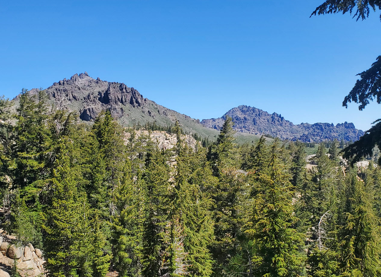
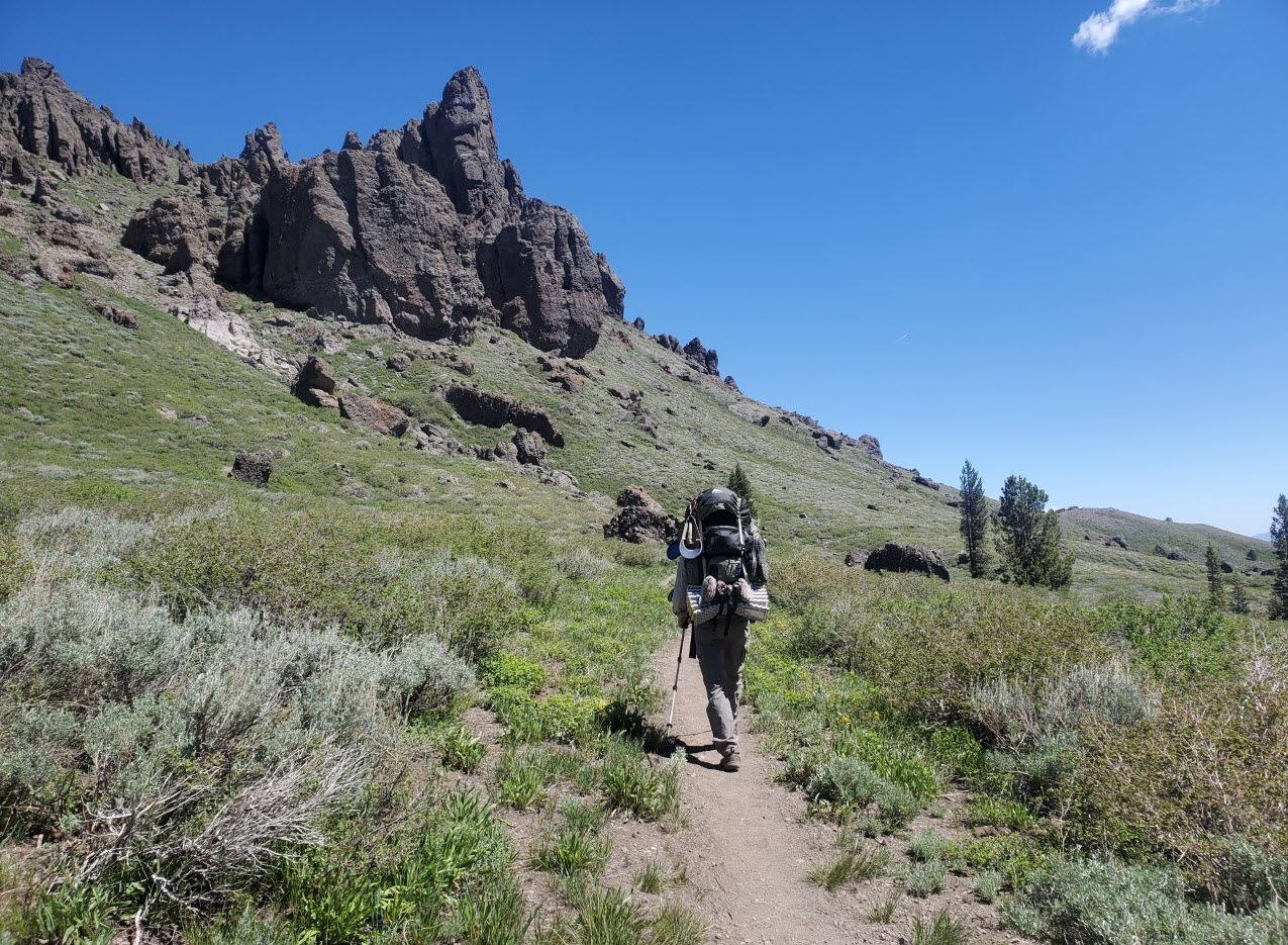
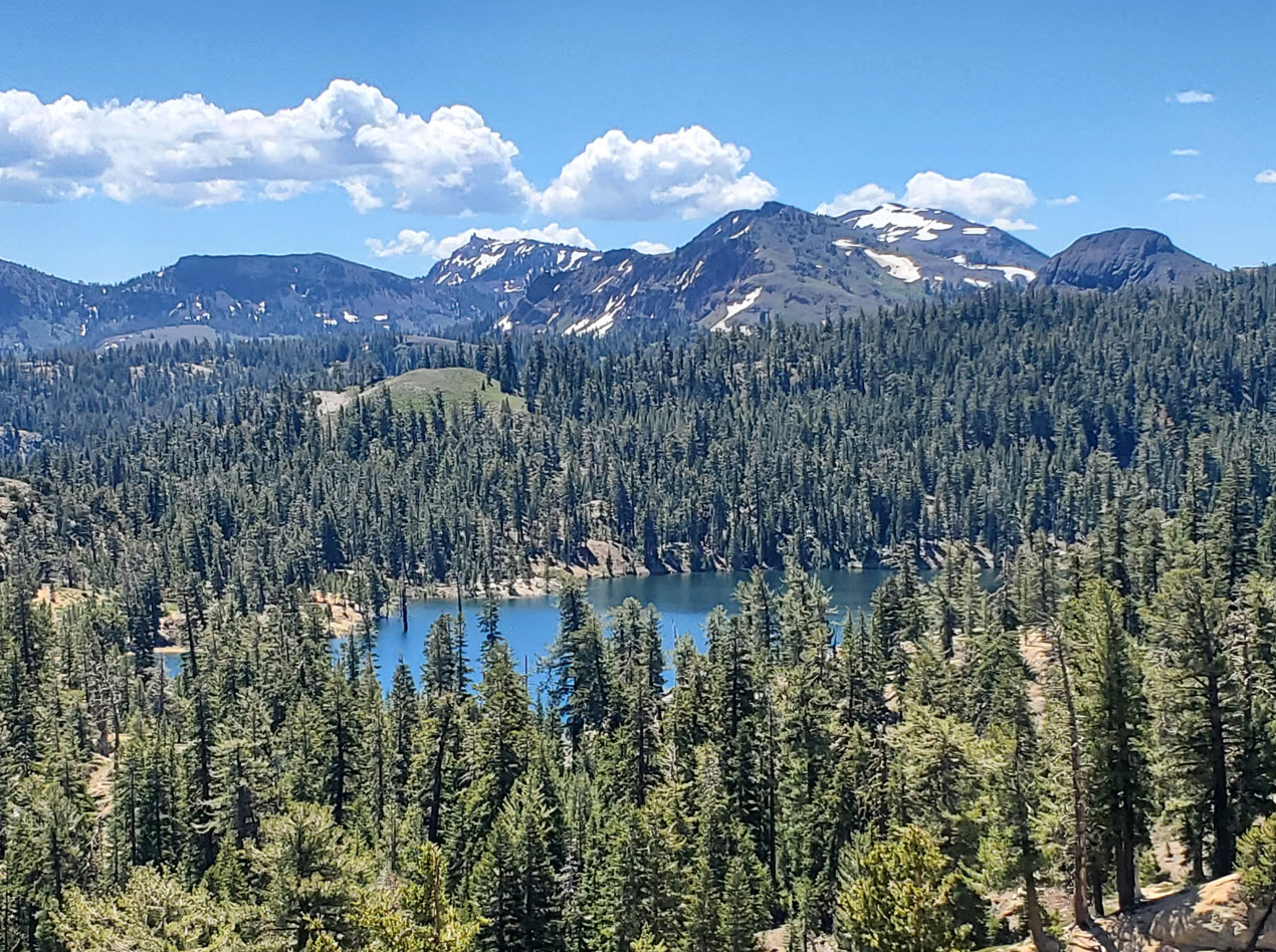
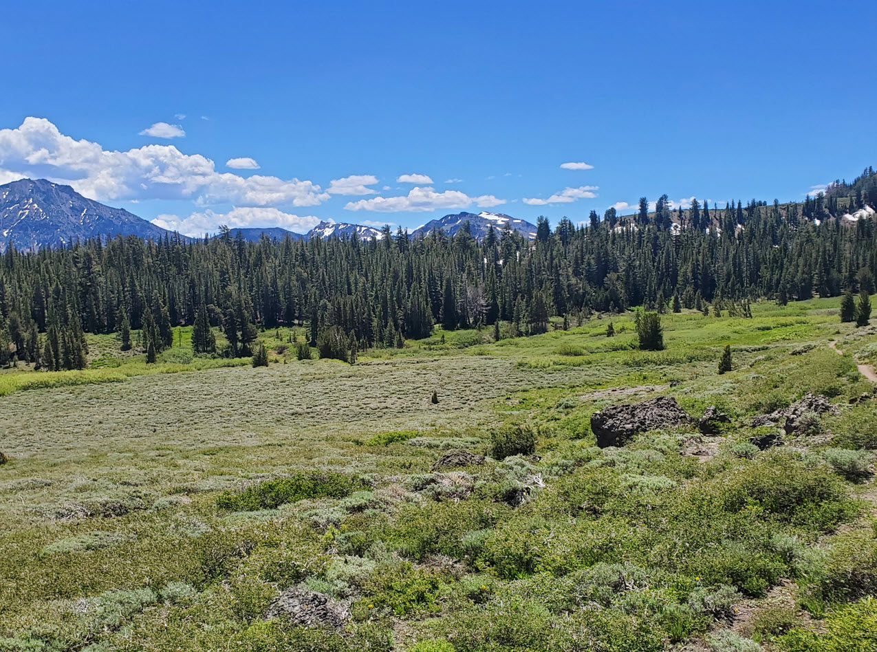
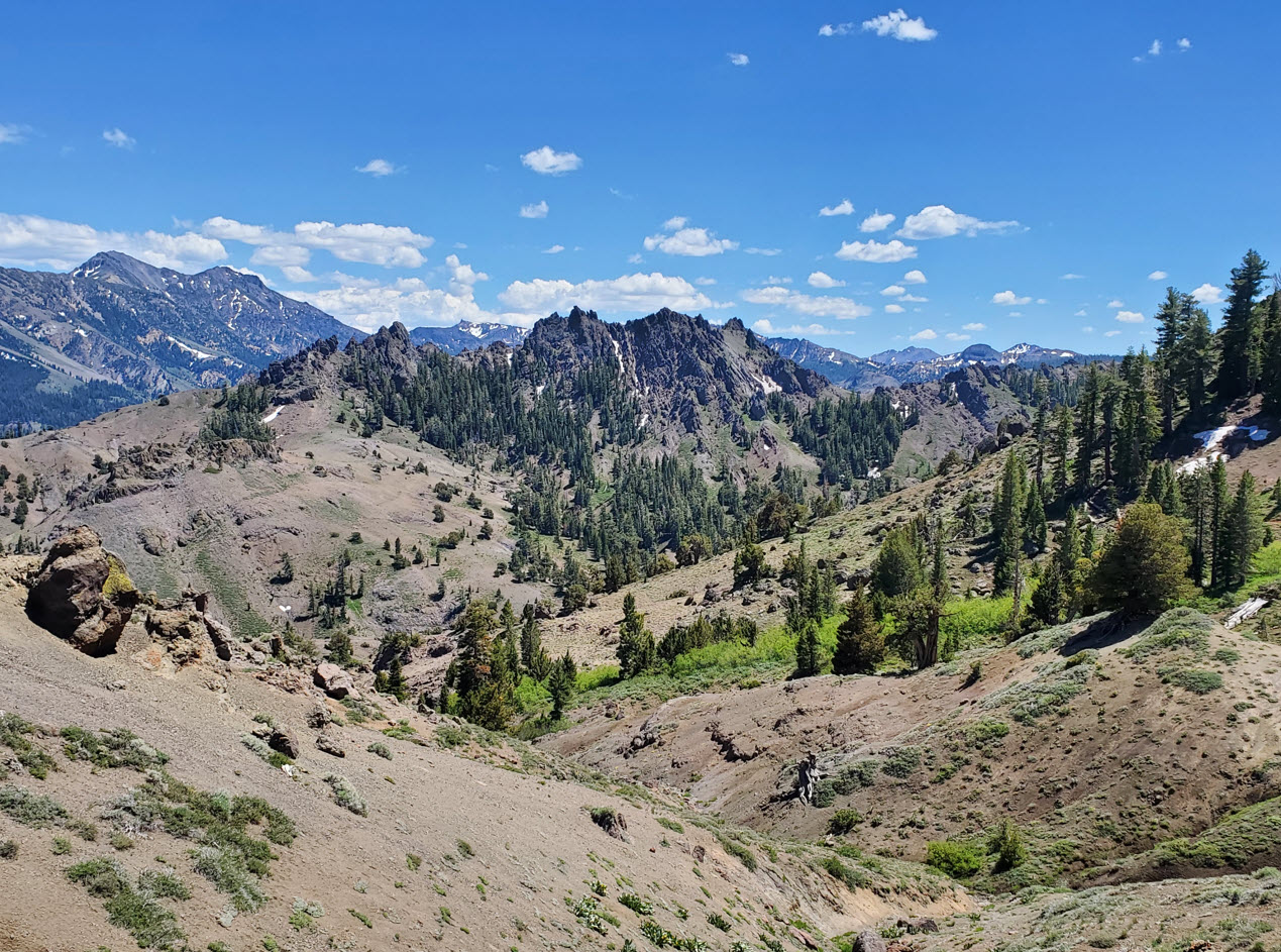
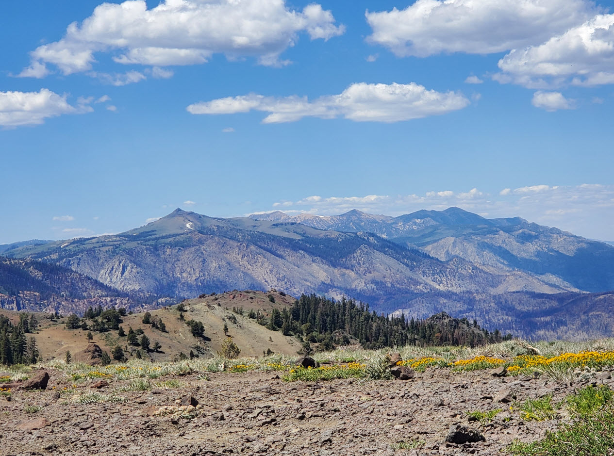
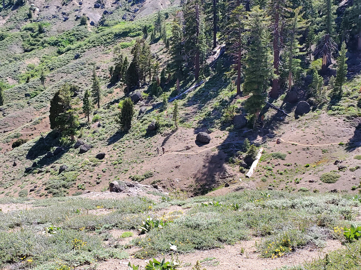
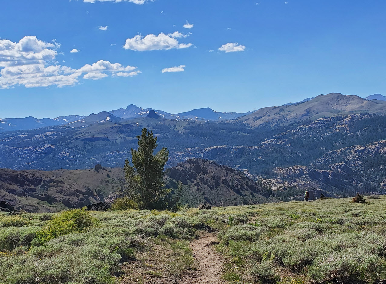
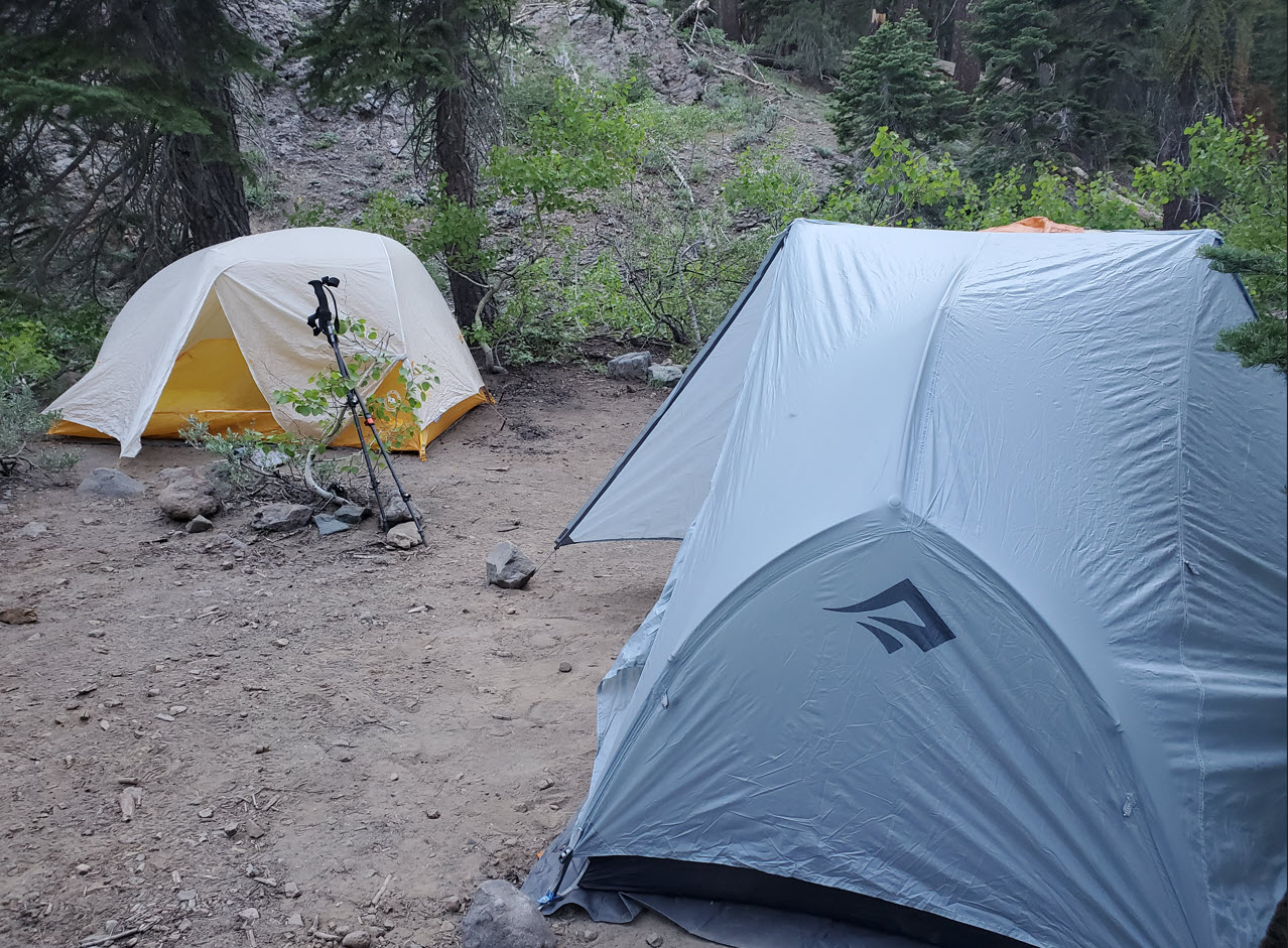
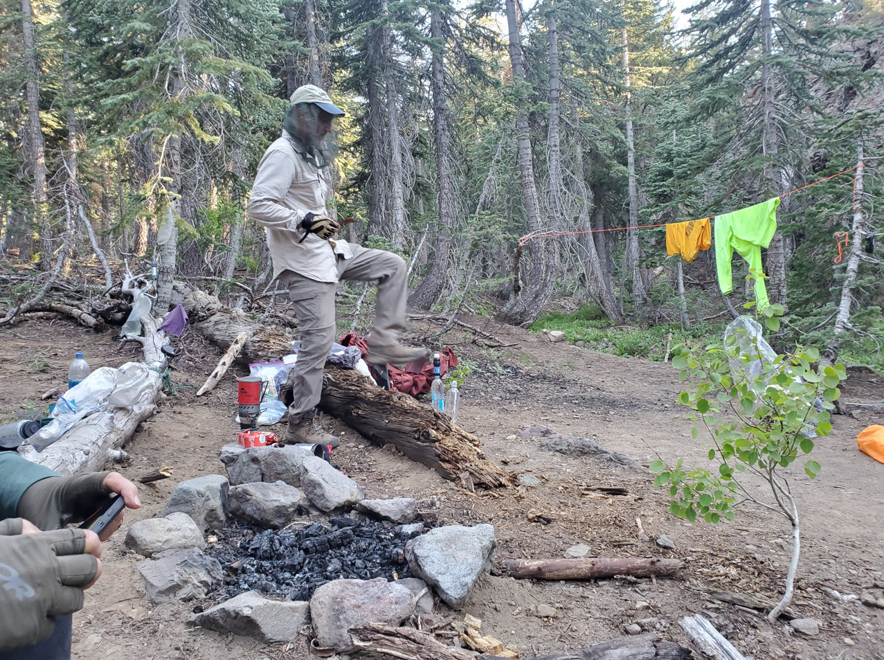
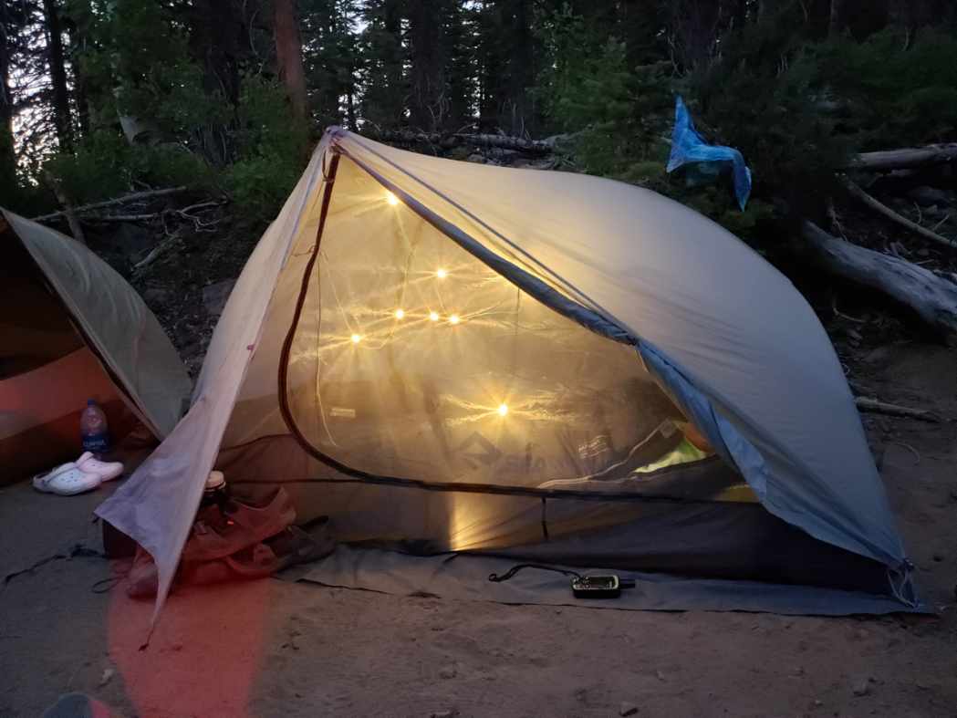
Notes: From the parking area head across Highway 4 to pick up the Pacific Crest Trail not far away to the north. On the day we travelled through this area there was a large area set up with 'trail magic' for full PCT hikers to get a good meal with pancakes and bacon on the menu. As section hikers we opted to just continue on and not take advantage of the kindness offered to these brave adventurers. Much of the first 5 miles of trail up to Raymond Meadow are open trail along the east side of the Reynolds Peak volcanic ridge. There are views galore to the east and south as you pass by the Kinney Lakes area, and wildflowers were abundant along this section. Once you reach Raymond Meadows the trail begins to climb up around the eastern side of Raymond Peak, then starts to head back down toward Thornburg Canyon, passing the scenic Raymond Lake junction which is a worthy 1 mile side trip option. Switchbacking back down the PCT bends to the west, and in this section of the trail that passes to the north of Raymond Peak headed toward Wet Meadow and Upper Sunset Lakes we found a nice campsite along the creek to spend the first night of this trip. |
|||||