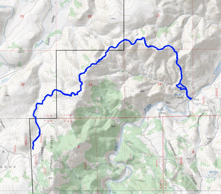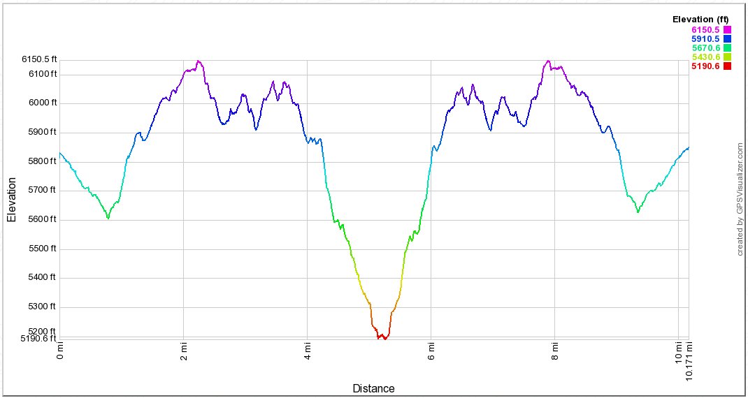
Distance: 10 Miles
Vertical Gain: 2800'
Group Size: 7
Hike Rating: Easy Moderate Hard Strenuous

 GPX for
this trip

| Start Coordinates: | N 38 45.537, W 119 45.480 | End Coordinates: | Same as Start Coordinates | ||
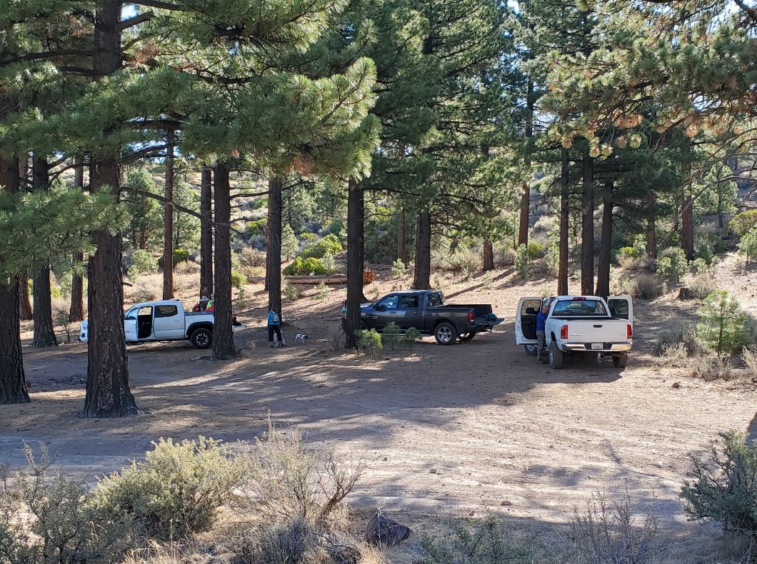
| Car Shuttle Req'd: | No | Parking Directions: | Take Highway 89 to just a little bit south of the town of Woodfords. Turn east onto Diamond Valley Road, and head on this for 2.84 miles. Turn south on Airport Road for .85 miles, then turn left onto Scossa Canyon Rd. Follow this for .75 miles until you take a turn to the left to the parking area .10 of a mile in the midlle of a grove of Ponderosa Pine trees. | ||
| Hazards of Note: | Extreme hot and dry with no water available on the trail until you reach the river after 5 miles. |
Crowd Factor: | Minimal. There will be few to no other hikers on this trail, but the hot tubs at the river can be crowded with OHV enthusiasts adventuring there from Cottonwood Canyon on the south side of the river. | ||
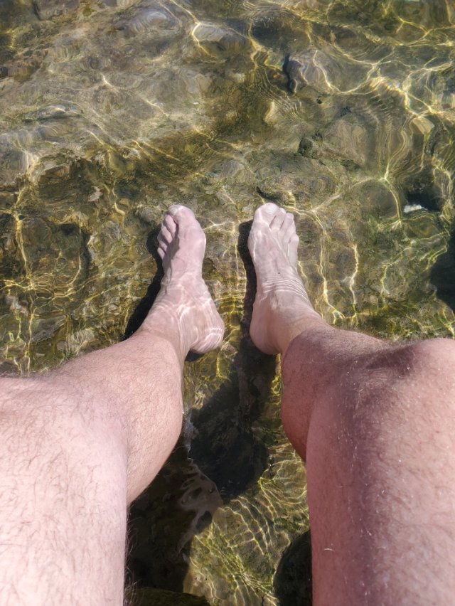
| General Notes: From the parking area head roughly northwet, and you will have three early junctions on the trail. Go left on the first two, and then right on the third. Much of this early section of hike is on an old dirt road, easy to follow and very wide. There is lots of up and down along the way. After the first couple miles the trail will turn into a single track passage, which will continue in this manner for all but about the last 1/3 mile down to the river. There are a couple of trail junctions off to the left that head down toward the Hungalelti Indian Reservation nearby on Airport Road far below. After four miles the trail begins to bend around to the south, heading toward the river about 1000' below. As you head down you will be on a very steep dirt road, and keep an eye out on the right side for a trail that will meander a little to the west and avoid some of the steepest sections of the trail down to the river. Once you reach the river there are two pools fed by the hot springs that eventually reach the river. In each, there are plastic water bottles blocking pipes that will either allow you to let water into the pools or block water from entering when done so that you can open the one in either of the pools to allow water to drain out. |
|||||


