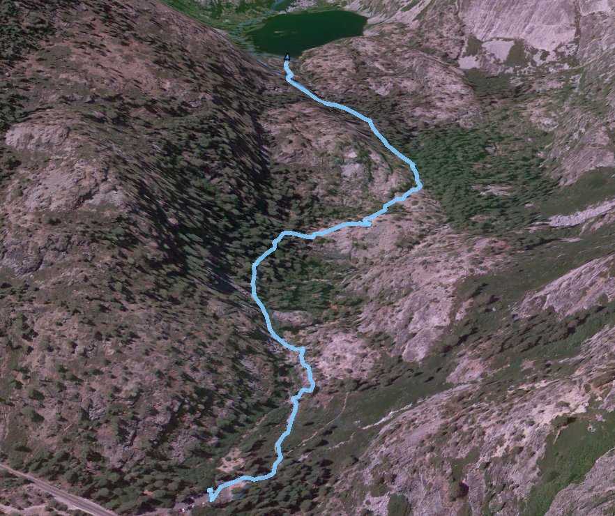
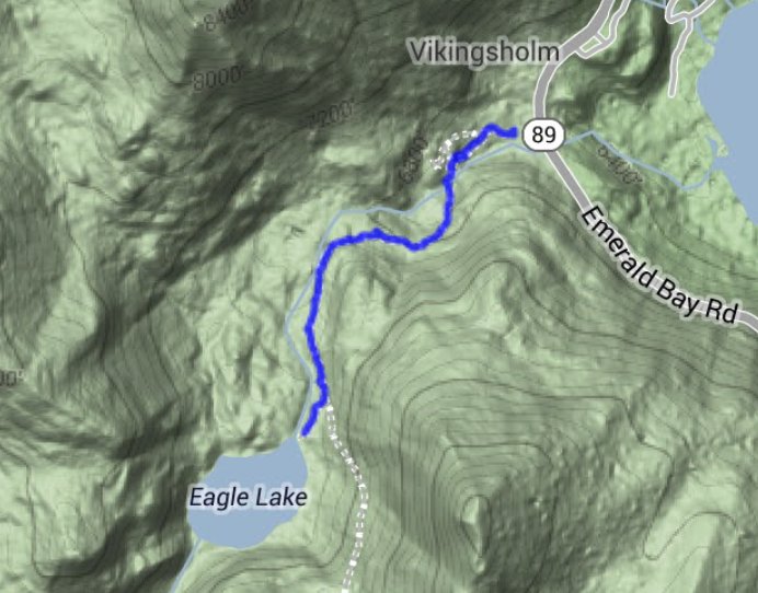
Distance: 2.0 Miles
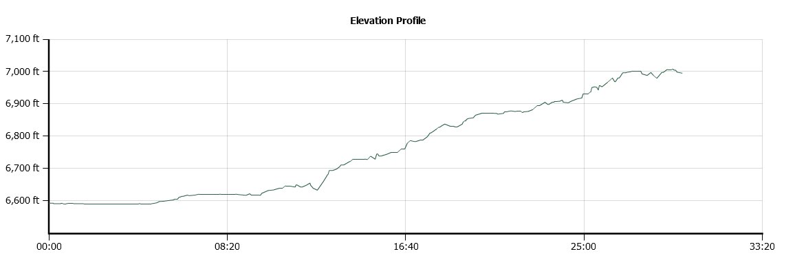
Vertical Gain: 400'
Group Size: 1
Hike Rating: Easy Moderate Hard Strenuous
 GPX for
this trip
GPX for
this trip
| Start Coordinates: | N 38 57.117 W 120 06.796 | End Coordinates: | Same as Start Coordinates | ||
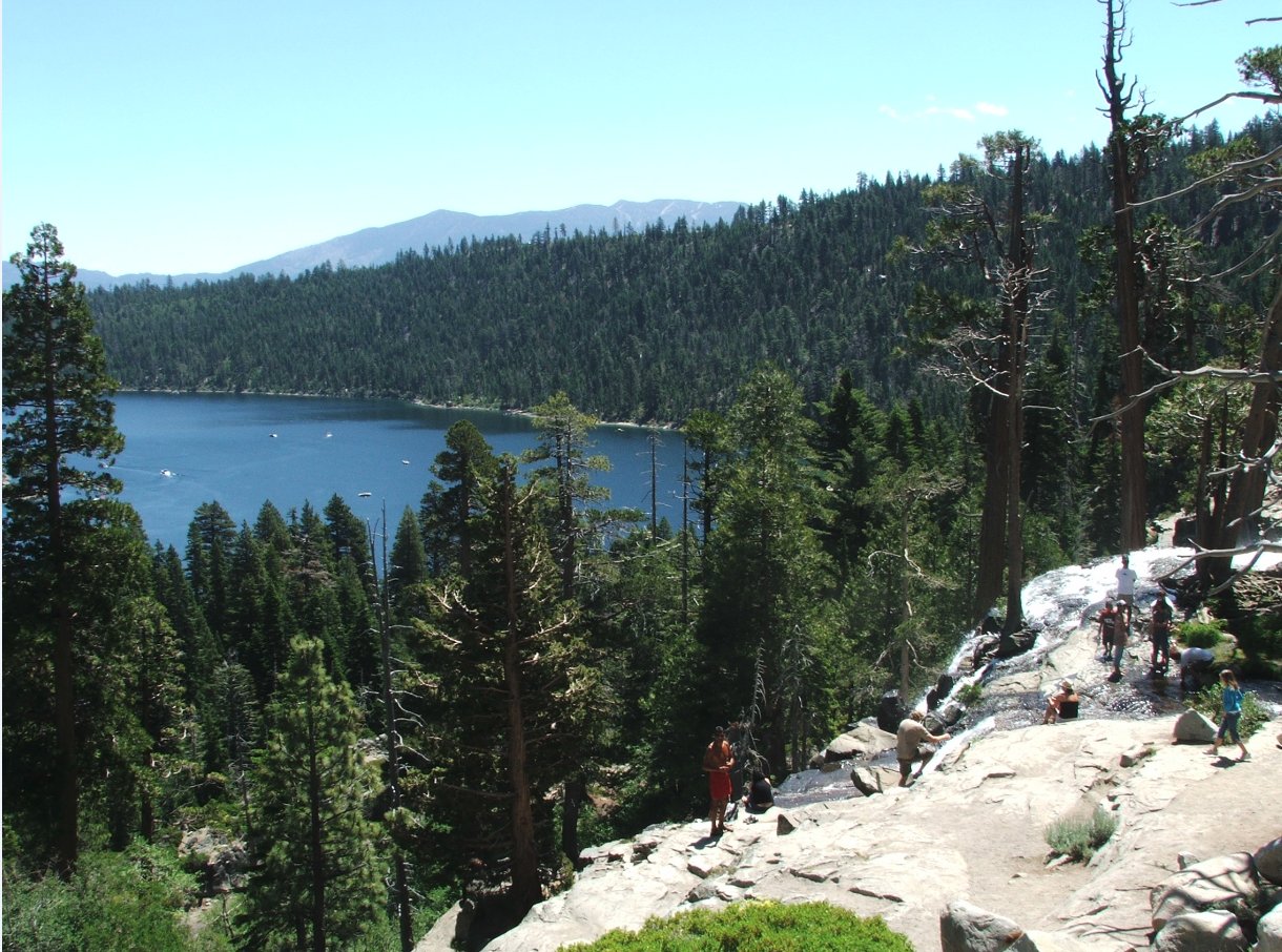
| Car Shuttle Req'd: | No | Parking Directions: | Take Highway 89 to Emerald Bay. Parking is available for a $5 fee in the Eagle Falls parking lot, or on the street just outside of it. | ||
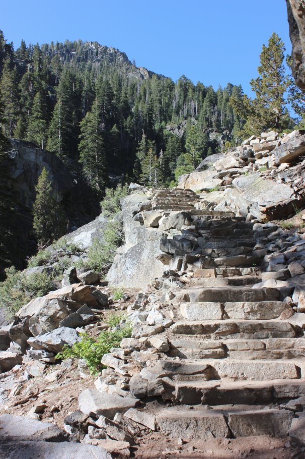
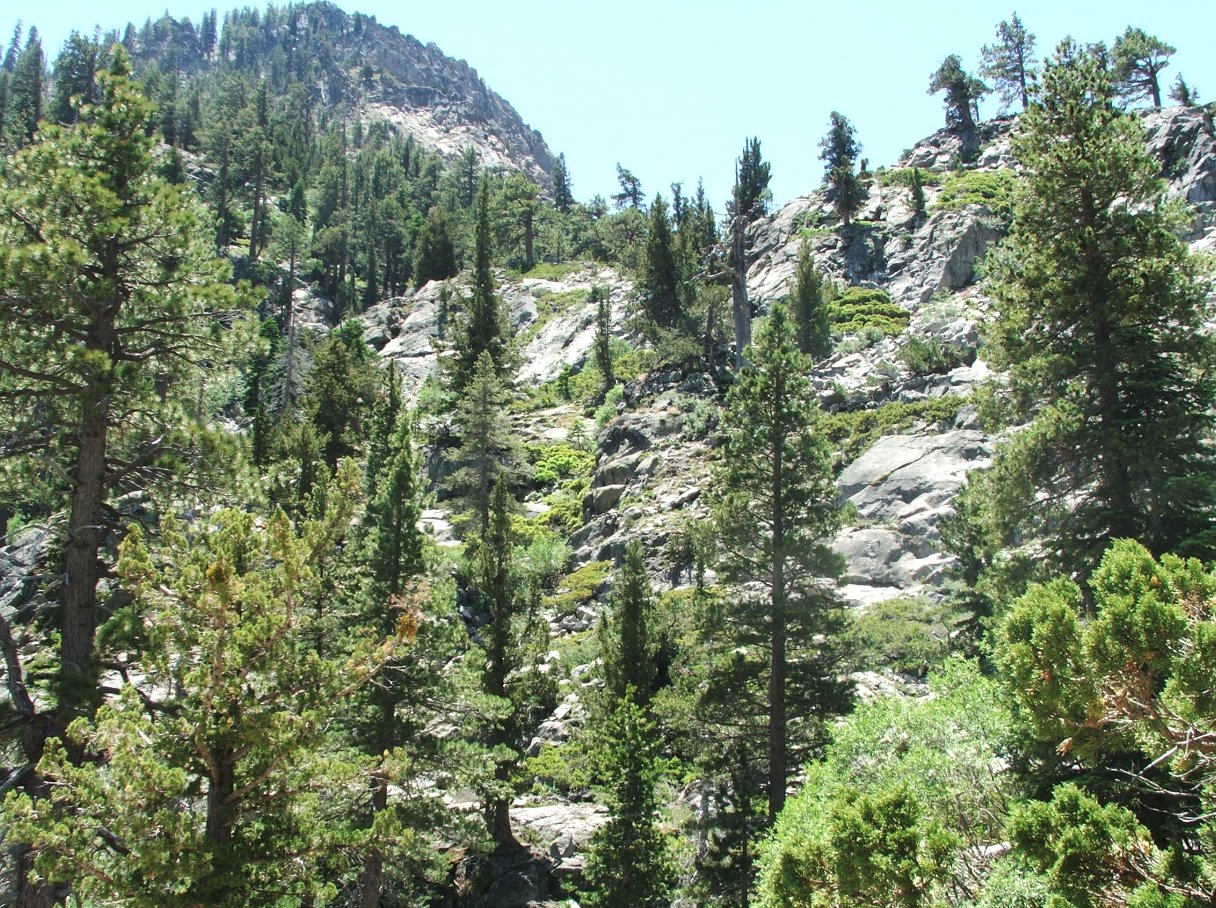
| Hazards of Note: | Some long uphill sections of granite boulders requiring careful stepping. | Crowd Factor: | Busy, especially on weekends. This is one of the most popular easy hikes in the Tahoe Basin area. | ||
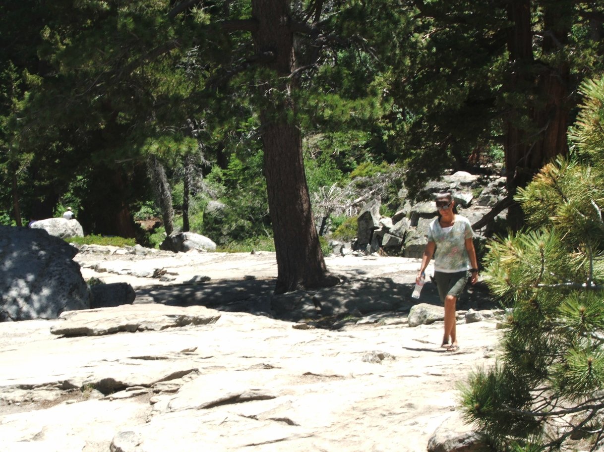
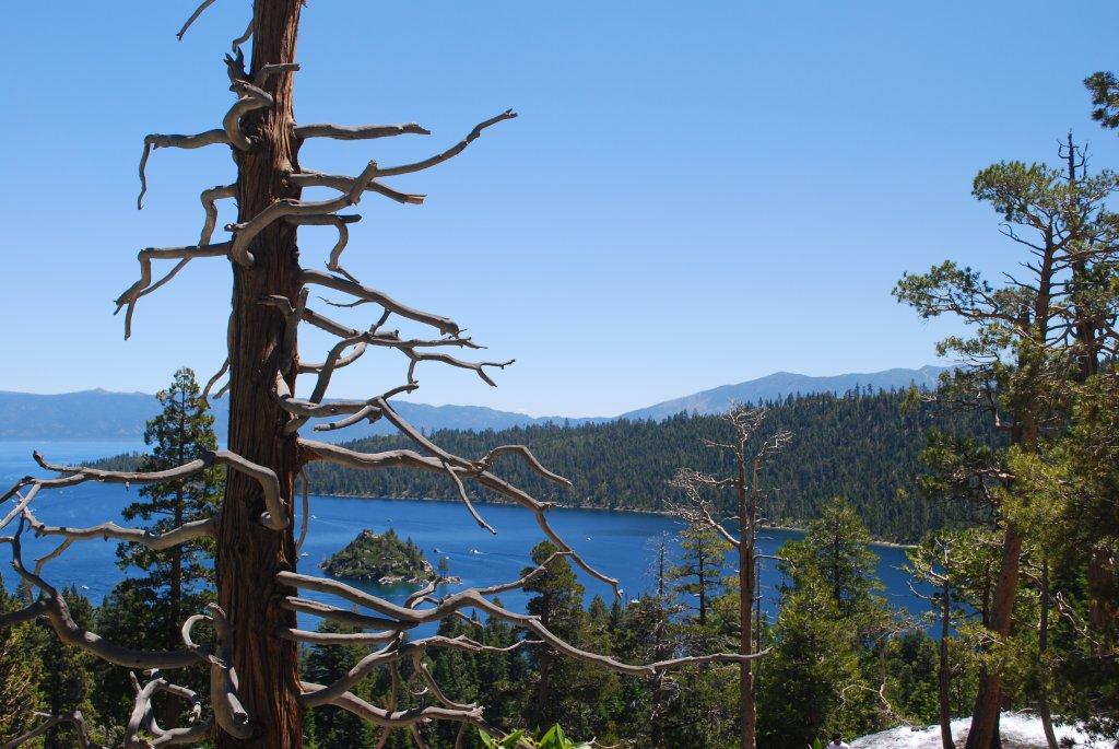
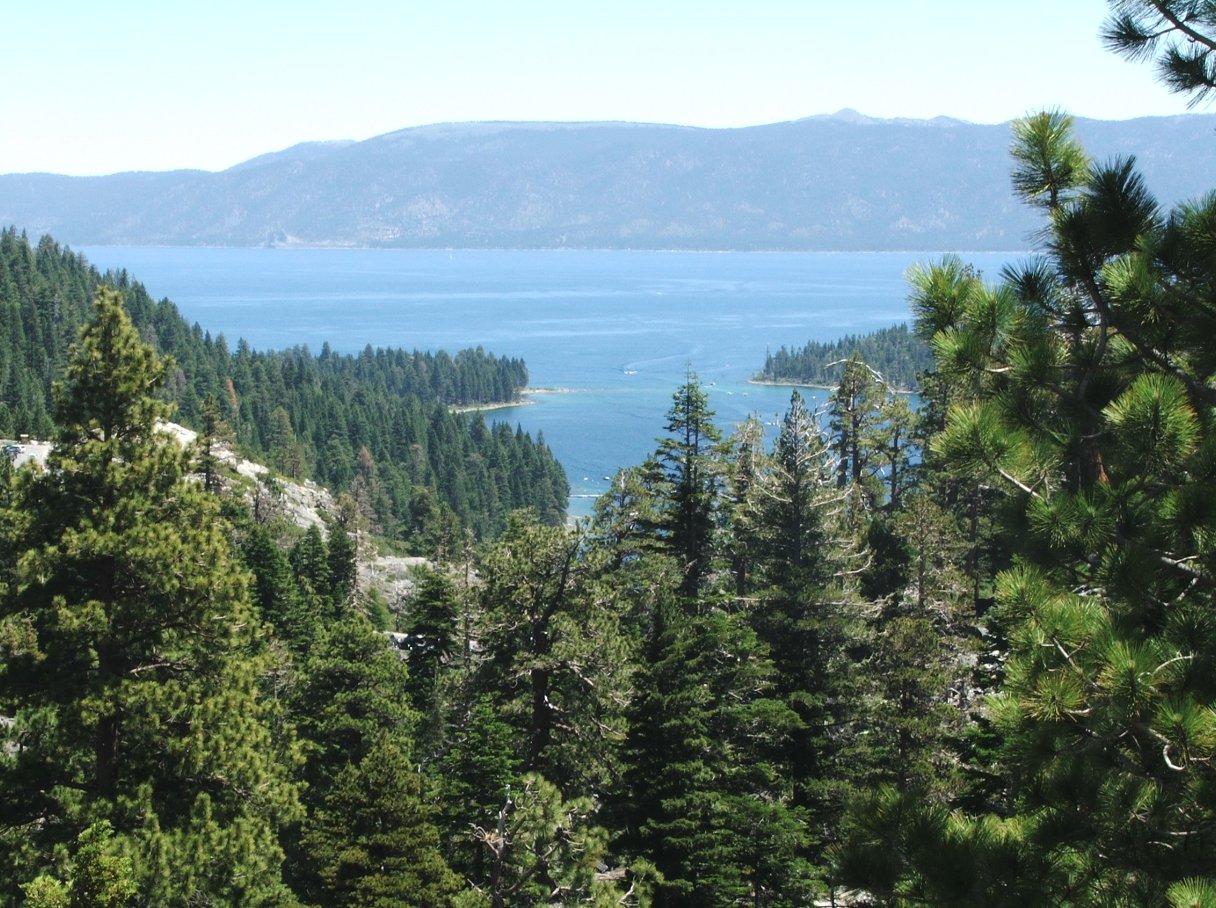
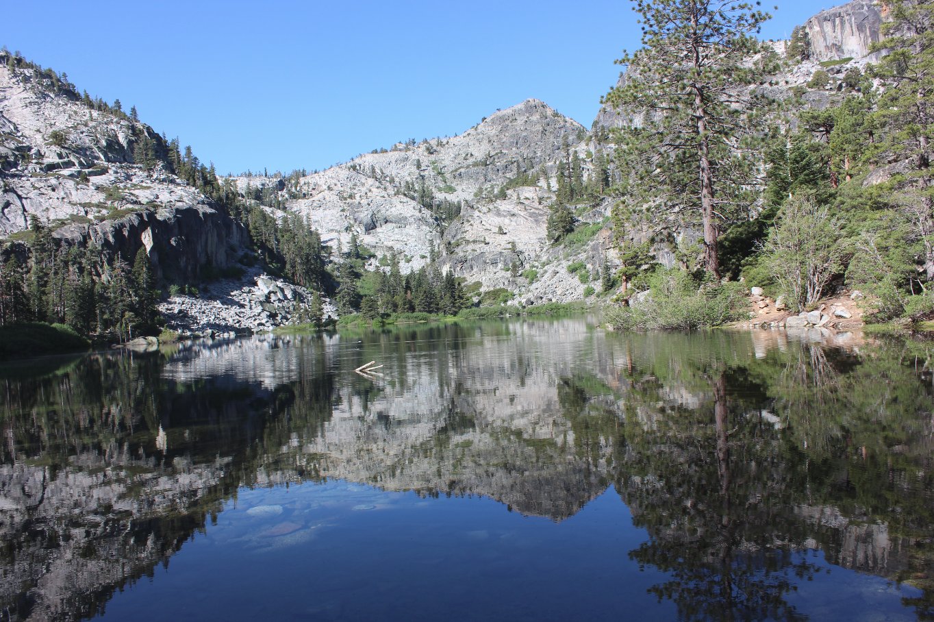
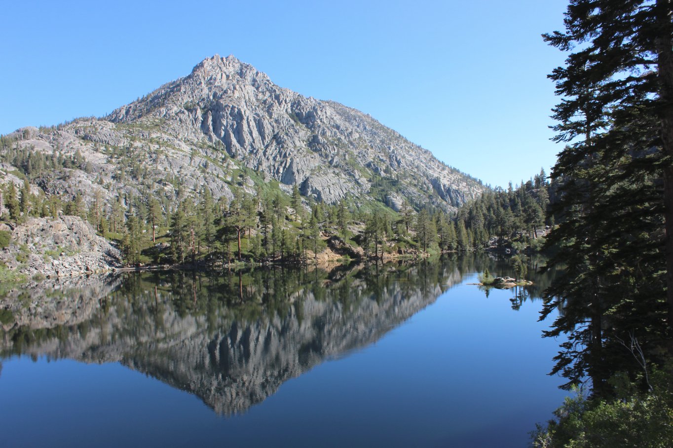
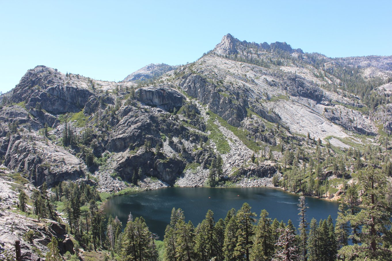
| General Notes: This hike is one of the main recommendations for those wishing an introduction to the Desolation Wilderness area and the amazing beauty of Lake Tahoe in general. The 400 foot elevation gain comes in just a few steady uphill sections, but there is nothing that would keep even younger kids from enjoying the scenery. The trail is well marked all of the way to the lake. Since this is a hike into Desolation Wilderness, you will need a day permit (free at the trailhead) and the group size limit is 12. |
|||||