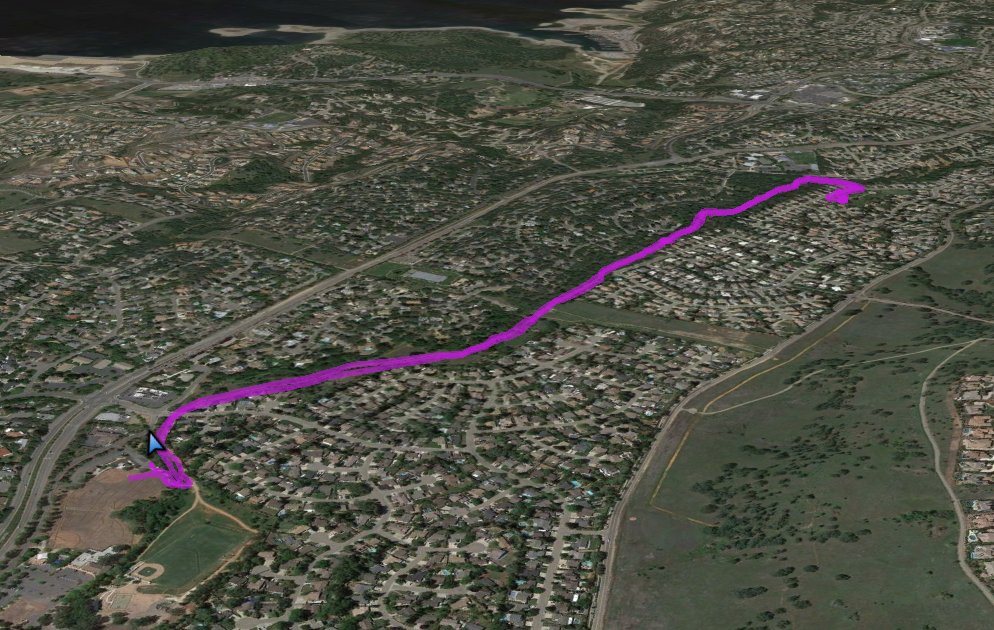
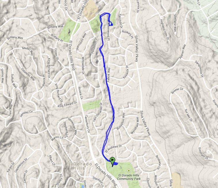
Distance: 3.4 Miles
Vertical Gain: 150'
Group Size: 1
Hike Rating: Easy Moderate Hard Strenuous
 GPX for
this trip
GPX for
this trip

| Start Coordinates: | N 38 41.160, W 121 04.638 | End Coordinates: | Same as start coordinates | ||
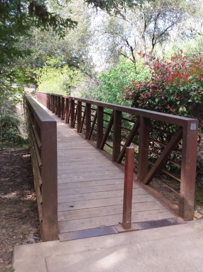
| Car Shuttle Req'd: | No | Parking Directions: | Take El Dorado Hills Blvd to Governor Dr. Turn east on Governor and then make a quick right on St. Andrews Drive into the north end of the Community Services District (CSD) park. At the first parking area turn left and park anywhere in this lot. The trail starts at a bridge on the east end of the parking lot. Cross the bridge and then turn left to start on the trail. | ||
| Hazards of Note: | Rattlesnakes, ticks, poison oak. | Crowd Factor: | Moderate. During the weekdays this can have a number of walkers and bikers, and after school hours the local high school uses this for running training. | ||
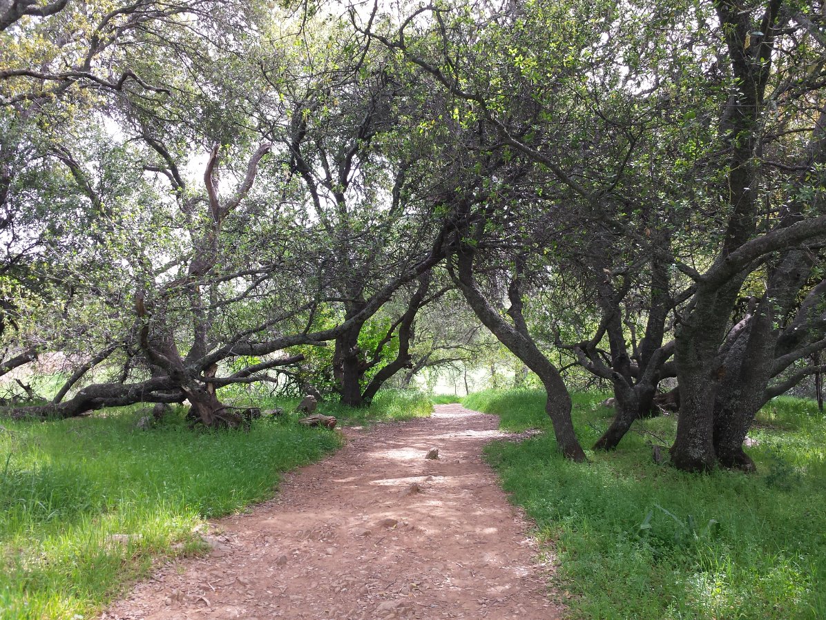
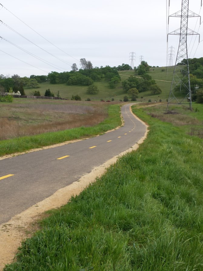
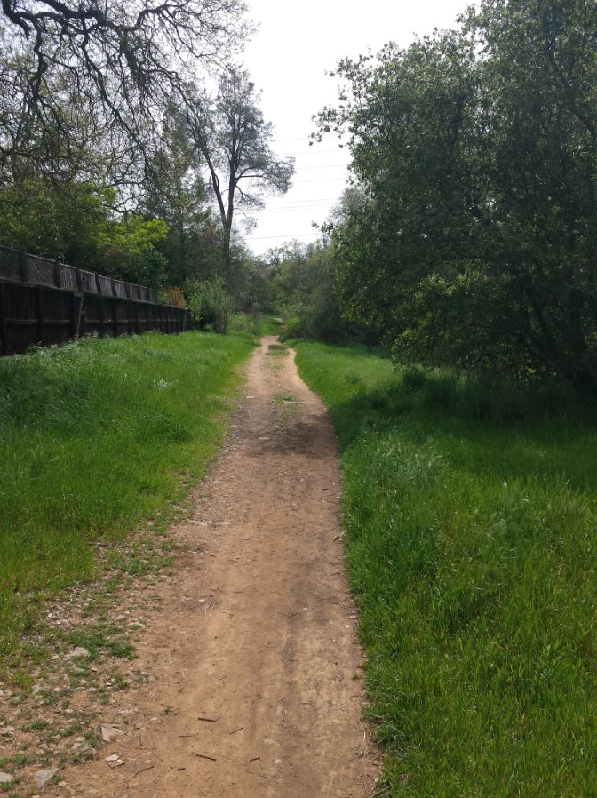
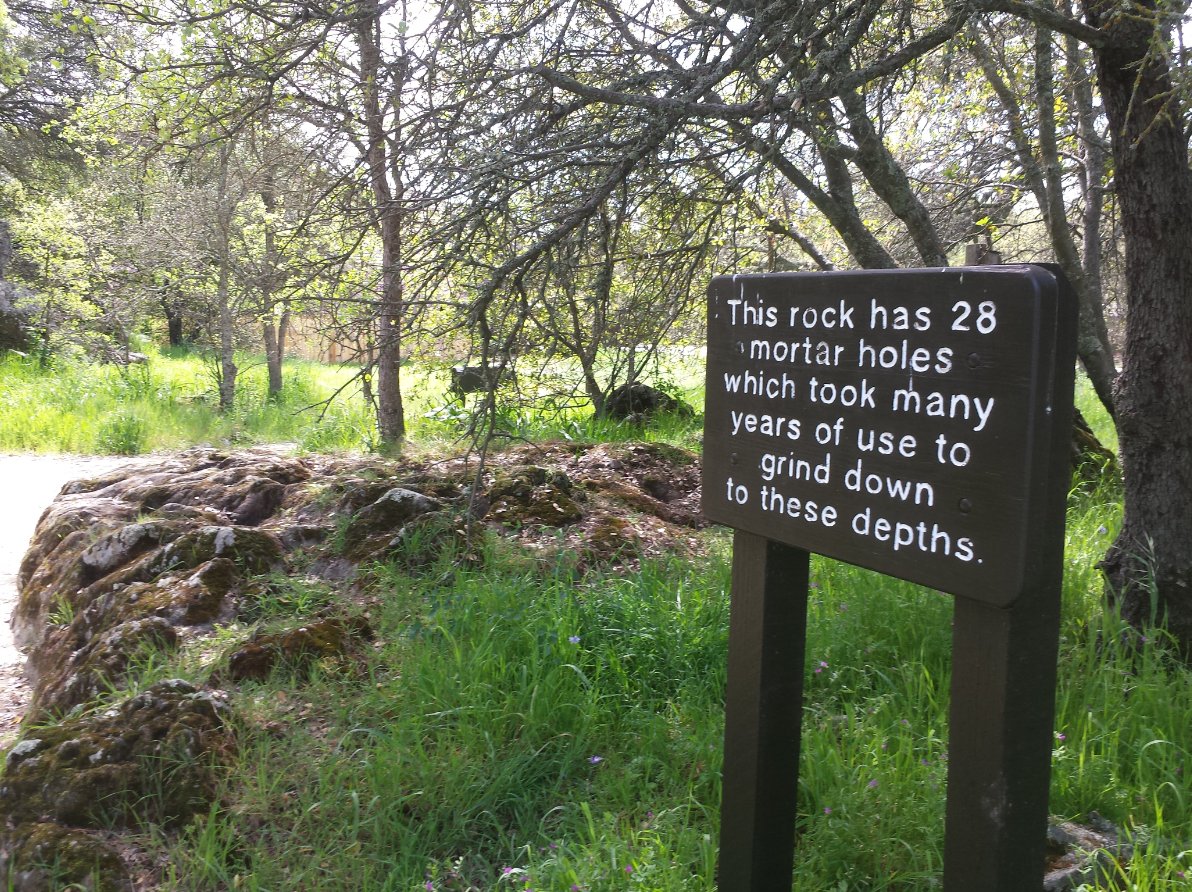
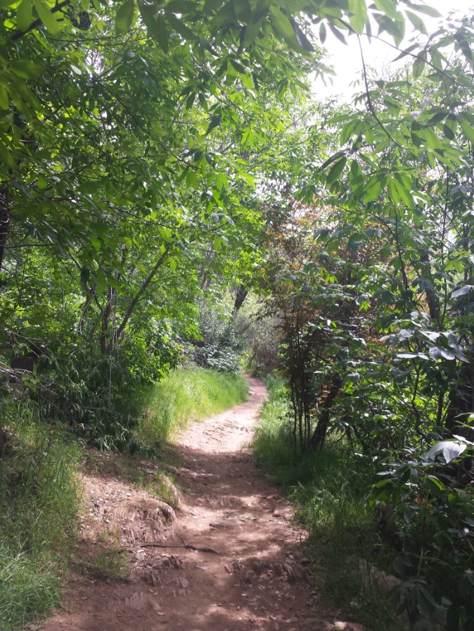
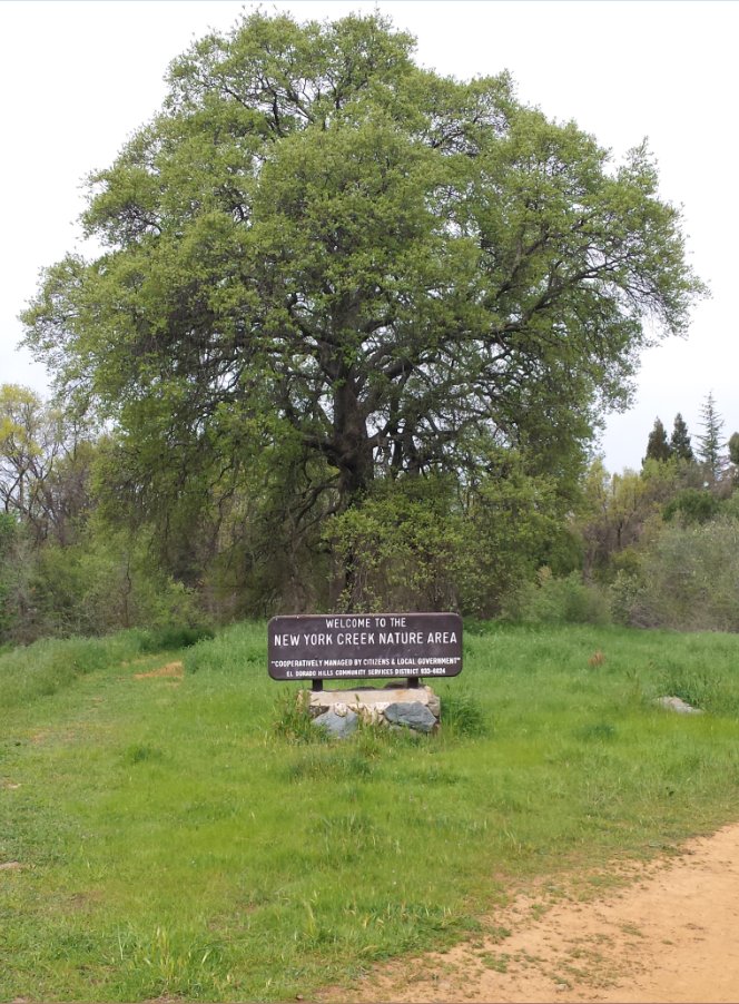
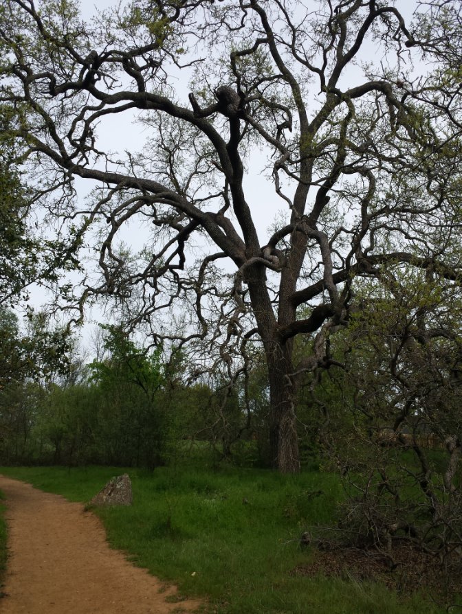
| General Notes: Start out on this hike by crossing the bridge just at the east end of the parking area, and then turn left onto the dirt trail. About 1/10th of a mile north you will have to cross Governer's Drive, but there is a stop sign just to your left with a cross walk which can make this easy. Continue on the trail past the kiosk, and into the greenbelt area which the trail meanders through for the next mile and a half. About a 3/4 of a mile north there is a branch off to the right that is a paved bike trail, which simply takes you to Silva Valley Parkway road. There are more hikes up into Serrano across Silva Valley from here. Continue on this trail until you get to another bridge at the far end. If you cross this you will get out to the area where Jackson Elementary is located, or you can continue on the paved path to the east and come out in the Fairchild Village housing area. Right across the street from the trail exit is a nice park with some historically interesting indian grinding rocks at the south end. |
|||||