|
|
Donner
Peak & Mt. Judah Loop Hike
|
|
Trip Date: 10/07/2016
Distance: 9.75 Miles
Vertical Gain:
1000'
Group Size:
3
Hike Rating: Easy
Moderate
Hard
Strenuous |
 See
video of hike
See
video of hike
 GPX
for
this trip GPX
for
this trip
|
|
|
Start Coordinates: |
N 39 18.975 W 120
19.564 |
|
End Coordinates: |
Same as starting coordinates |
| Car Shuttle
Req'd: |
No |
|
Parking
Directions: |
Take
Highway 80 to the Soda Springs/Norden exit from the freeway.
Go straight onto Lincoln Highway for 3.7 miles, and turn
right into the parking area for Sugar Bowl Academy. You can
park here, or continue a little further down the road to dirt parking
across from Lake Mary. |
| Hazards of
Note: |
A few miles of this trail,
including the first mile are very rocky and present a
significant tripping hazard. |
|
Crowd Factor: |
Moderate. The
first part has many people doing the Mt. Judah peak loop hike,
and in the summer there will be a number of PCT through hikers heading
north that you will run into. |
General Notes:
The
trail out of Squaw Valley up to the Pacific Crest Trail intersection is
a lot of uphill, and you will have to look carefully for the trail in
certain sections. There is a rocky section about 2/3 of the
way
to the PCT that had some spots where the trail seemed to disappear, but
a few moments and rock cairns could be spotted indicating where the
trail was headed.
The
climb to the top of Granite Chief is a rocky scramble with a use trail
to the south and then western side of the peak which leads all the way
to the top up a very steep slope.
During
much of the summer you can hike from Granite Chief down to the tram
station at the upper section of Squaw Valley and ride the tram down for
no charge. During the fall the tram only operates on weekend
days, and only if there are not high winds or lightning.
The
Shirley Canyon trail is marked with paint for those heading up from the
valley, and not as well for those heading down from the top.
Going this direction the trail is reasonably well defined
until a
rocky section about halfway through, which lasts for over a mile and
can be exceptionally difficult to follow.
|
|
|
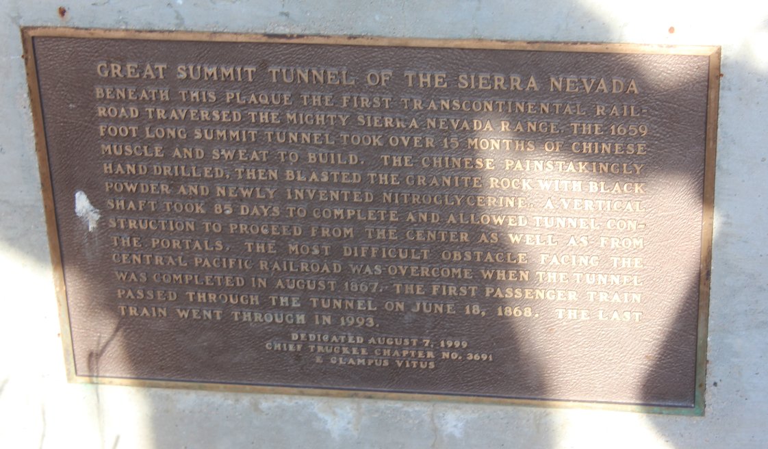
Near the trailhead parking
area is a plaque which gives the history of the tunnels which are under
the mountain in this area, including one which goes directly under the
Sugar Bowl ski area. |
 |
|
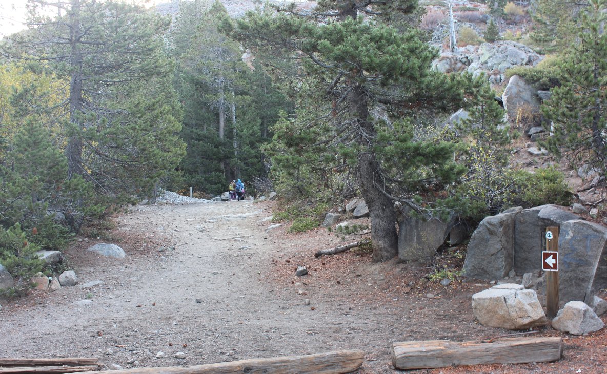
At the start of the hike is a
board with many of the nearby hikes pictured, but there is also an
unsigned trail to the left at this point which takes you about 3/10 of
a mile to the old snow sheds in the area which were once used by the
trains over the pass. |
 |
|
Early on the very rocky trail
heads up a good distance, with views toward Mt. Rose, Donner Lake and
Highway 80 visible in the distance. |
 |
|
Some very nice views to Castle
Peak and Donner Ski Ranch in the foreground are visible along the early
section of trail looking north. |
 |
|
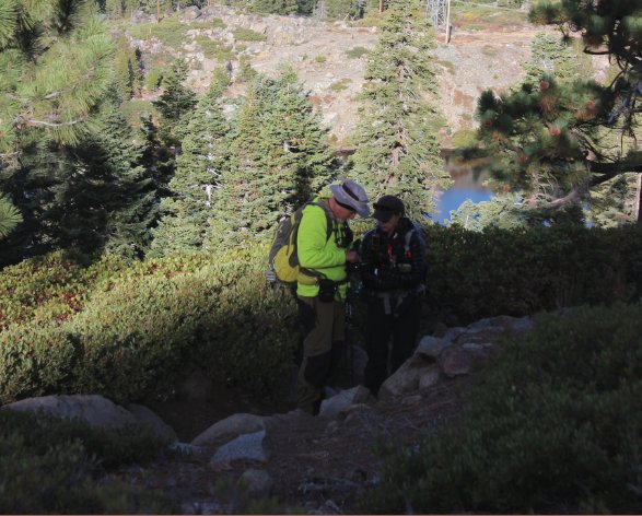
Mark and Tracey taking a quick
break above Lake Mary in the background. |
 |
|
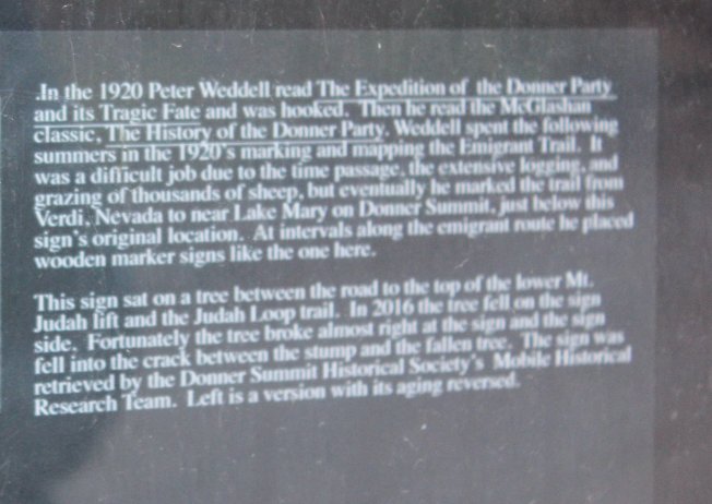
Along the Mt. Judah loop trail
are a few original signs from nearly 100 years ago which were original
markings for the trails in the area and the old ski routes before lifts
were involved. |
 |
|
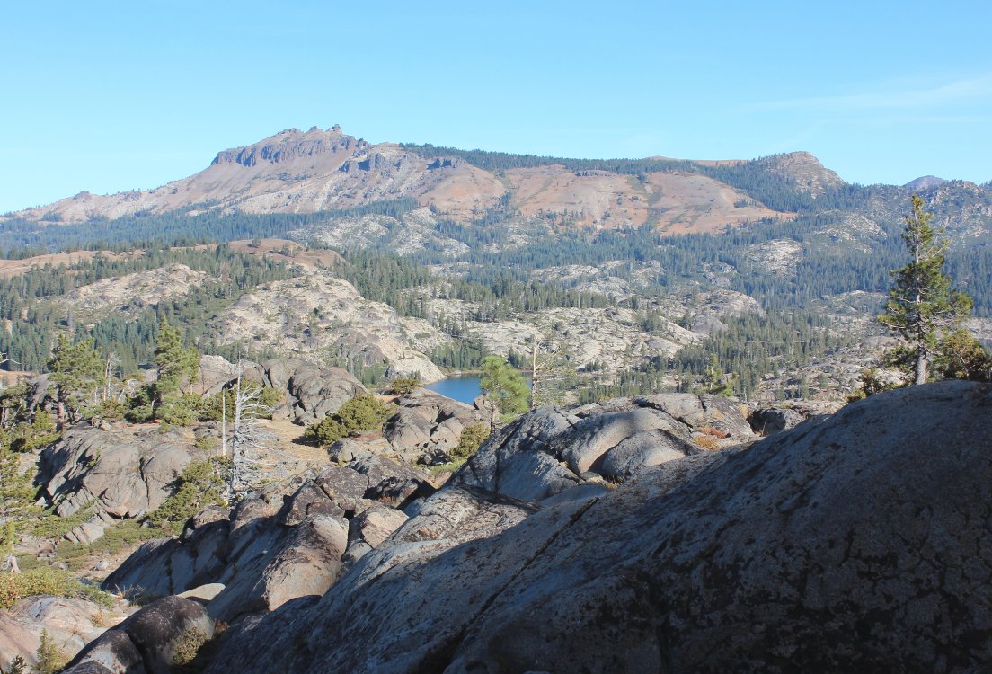
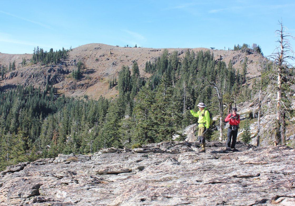
On the way up to Donner Summit
a look south gives fantastic views to Tinker Know, Mt. Anderson, and
then Granite Chief in the far distance from left to right.
Tinker Knob is about 6 miles south from here and Granite
Chief is 4 miles past that. |
 |
|
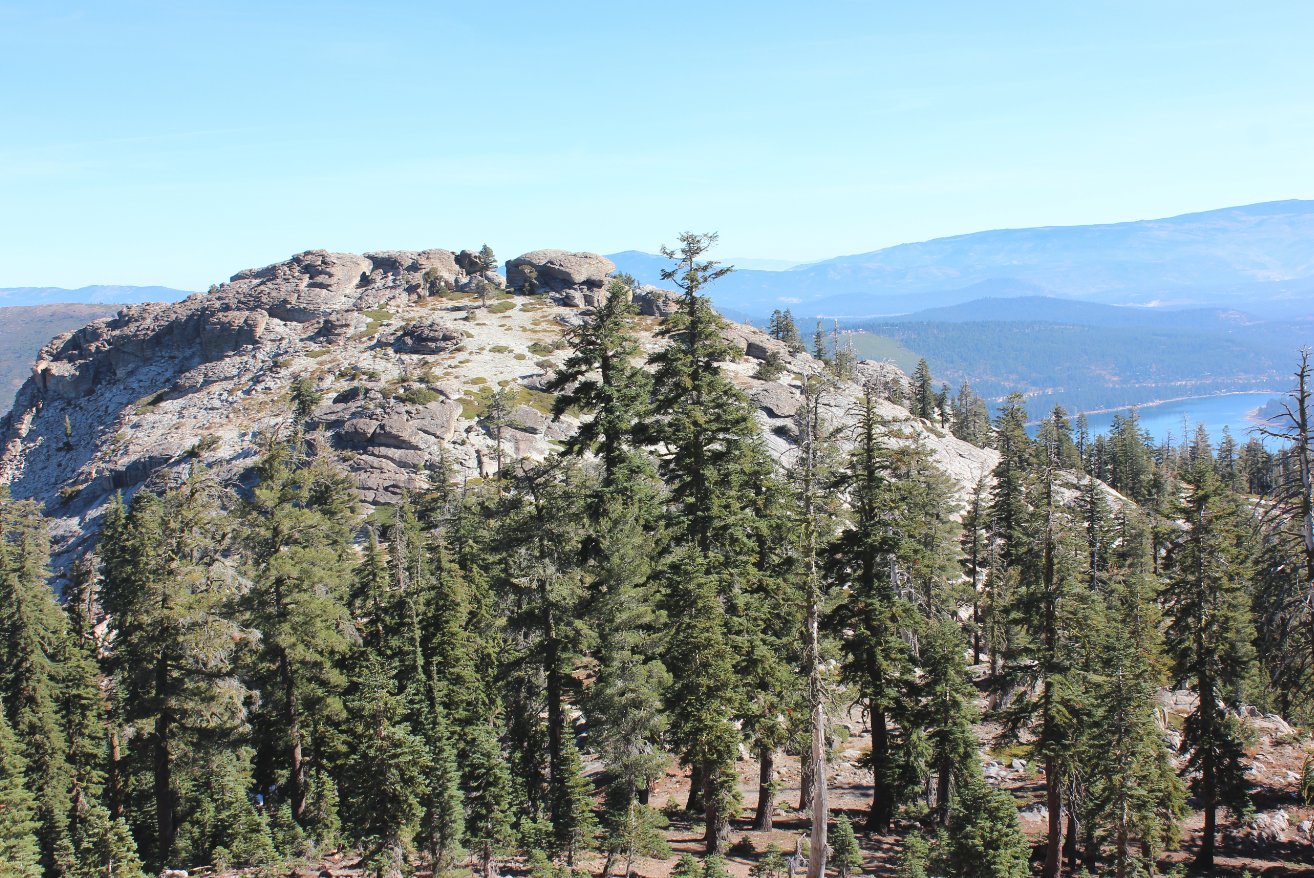
The pancaked granite rock
which makes up the top of Donner Peak. |
 |
|
Some clever rock cairns
adorned the area near the top of Donner Peak with a great view a couple
thousand feet below to Donner Lake. |
 |
|
Mark and Tracey on the way up
Donner Peak with Mt. Judah visible in the distance, our next stop on
the loop trip. |
|
|
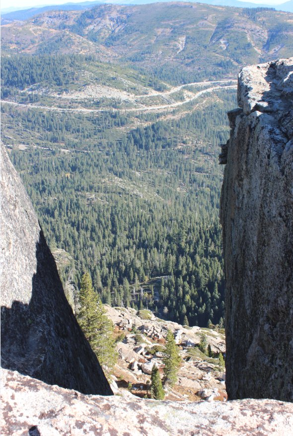
On the east flank near Donner
Peak is a rock outcropping which has a pretty spectacular view down
|
 |
|
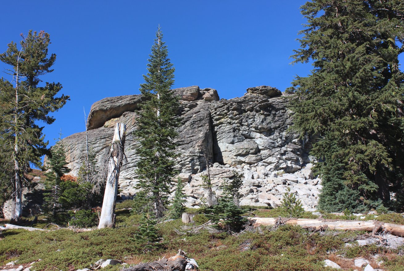
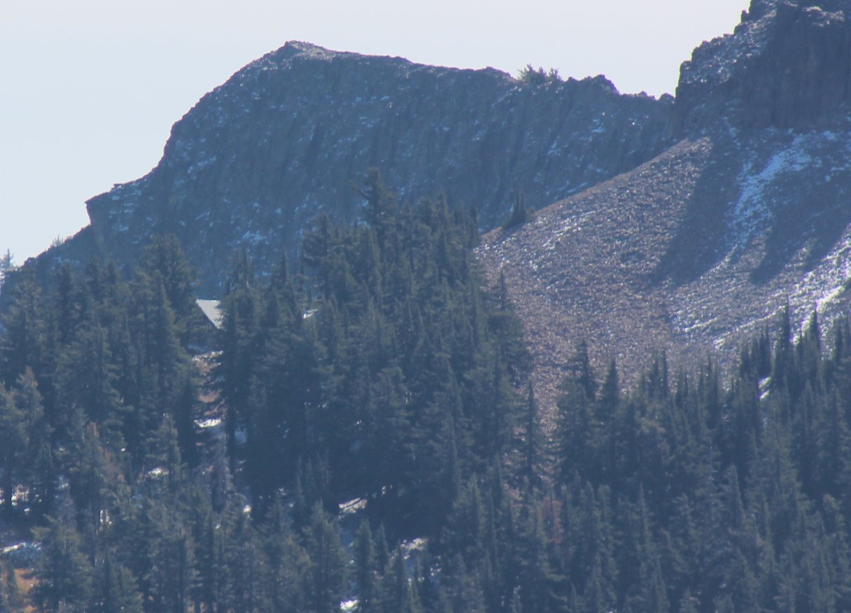
A look up at Donner Peak from
the east side of the high point. |
 |
|
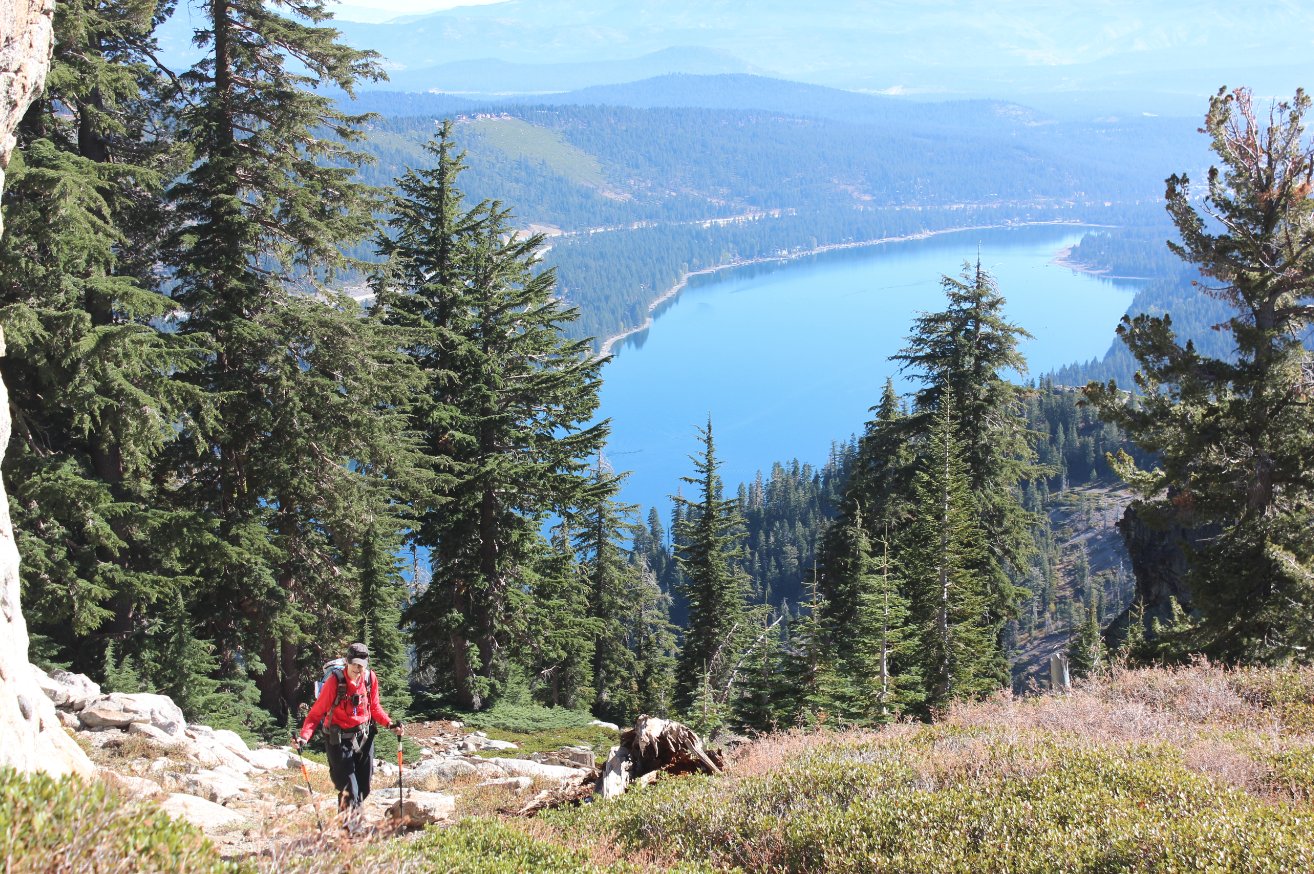
Tracey making her way back up
to the top of Donner Peak from an area on the eastern side, with Donner
Lake in the background. |
 |
|
A view north toward Donner
Peak from the trail heading up toward Mt. Judah. |
 |
|
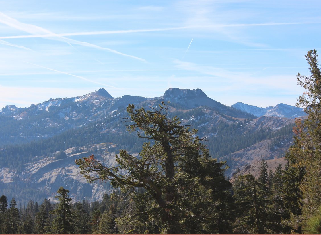
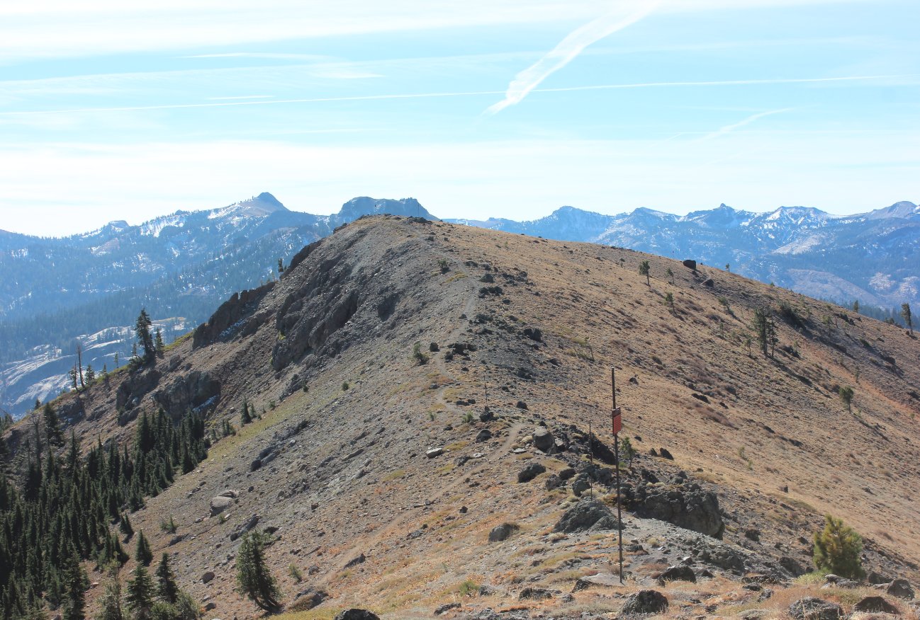
The
optional trail along the top of the ridge heading directly to Mt. Judah
in the near distance. Tinker Knob and Mt. Anderson are just
visible in the distance. |
 |
|
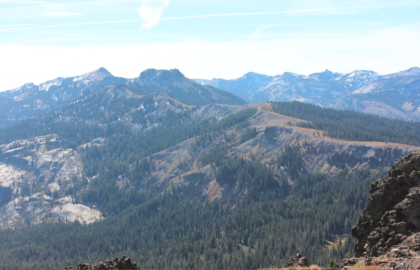
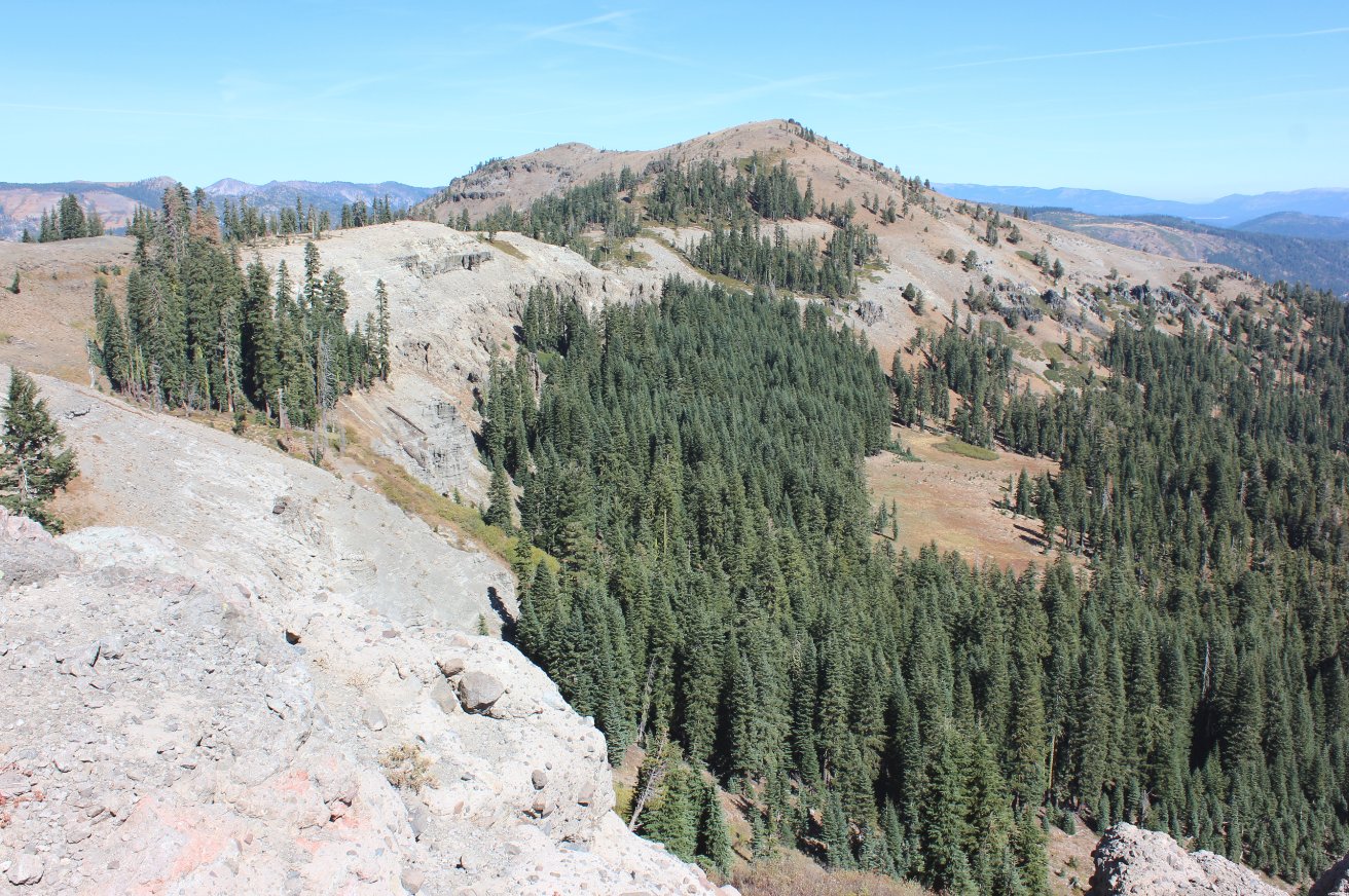
View of
the PCT south from Mt. Judah. The trail travels right along
the
brown ridgeline to the right of the picture heading south toward Squaw
Valley 10 miles distant. |
 |
|
Meeting up with some hikers
who were looking to get back on the PCT from near the top of Mt. Judah. |
 |
|
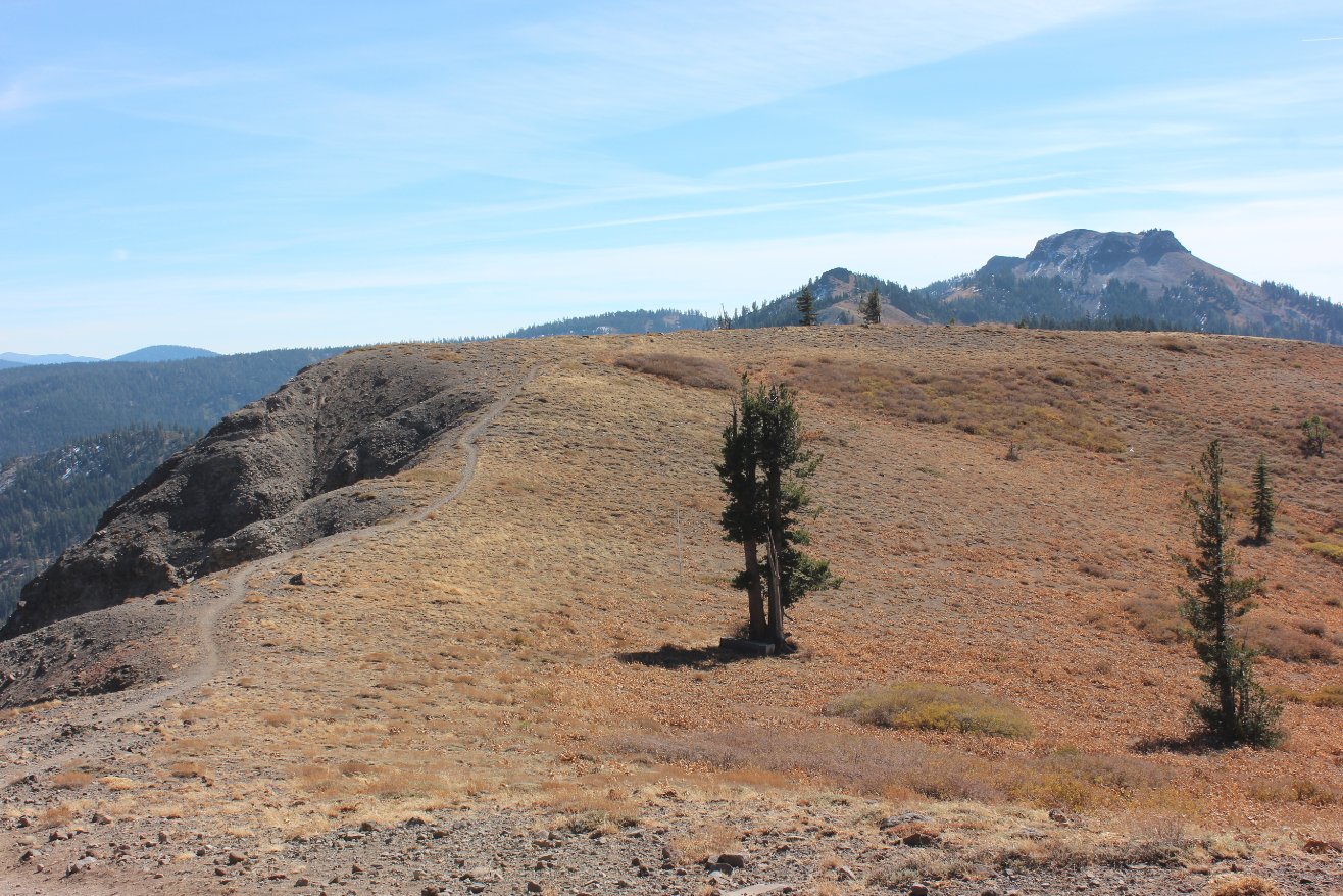
A look back toward Mt. Judah
from along the PCT south of the loop hike area. |
 |
|
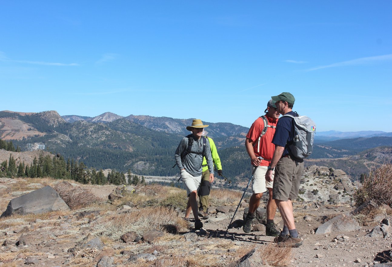
Hiking
along the ridgeline section of the PCT south of Mt. Lincoln heading
toward Mt. Anderson as the high point in the distance.. |
 |
|
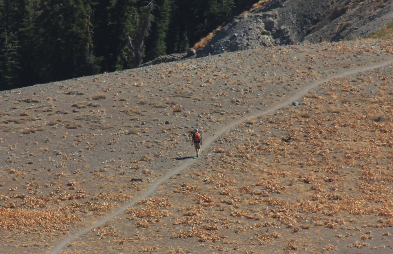
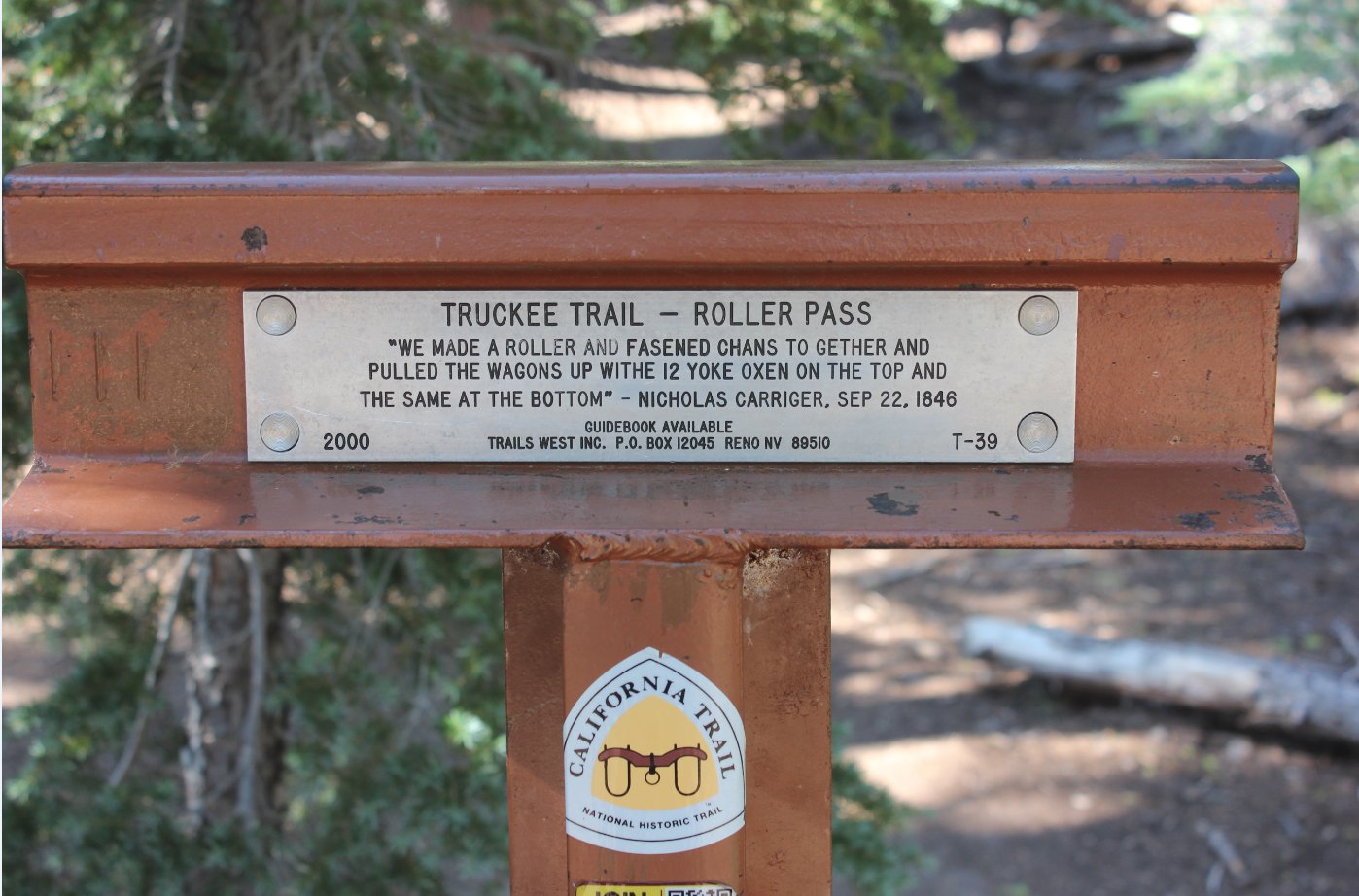
A solo
hiker making his way south on the PCT toward Mt. Anderson.
Having
spoken with him near Roller Pass he had done the entire PCT 30 years
previously and was visiting placed he enjoyed the most this summer and
fall. |
 |
|
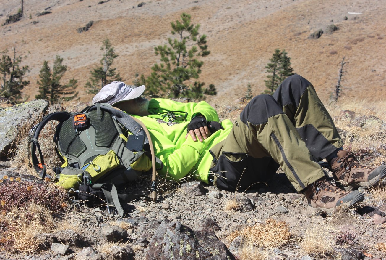
Mark
finding a comfortable rock just off the PCT where we stopped to have
lunch and then turn back around to head north and finish up the trek
for the day. |
 |
|
The Benson Hut at the east end
of Mt. Anderson is just visible in this shot from our turn-around point. |
 |
|
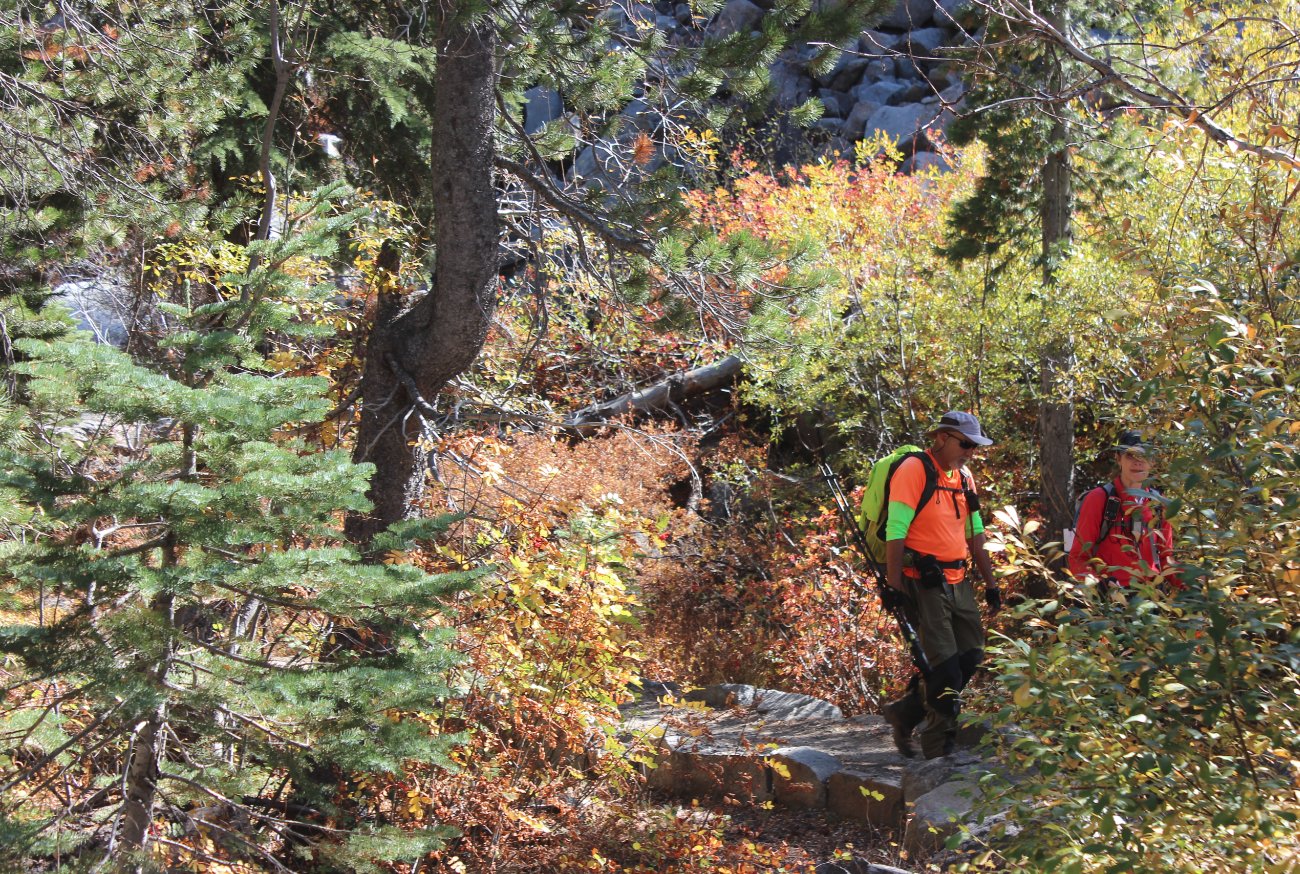
Heading back down through the
fall colored trees near the end of the trip. |
 |
|
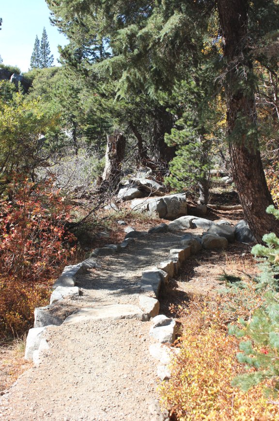
Rock work near the start and
end of the trip. |
 |
|
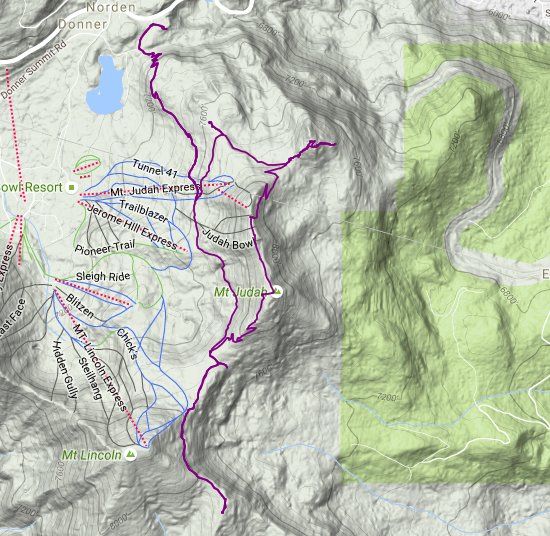
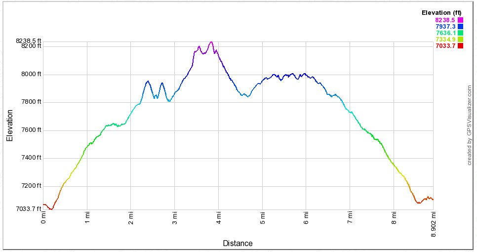
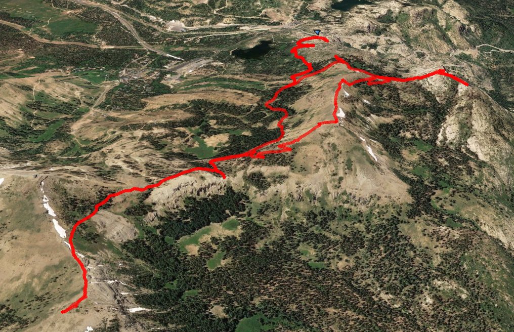
GPX image of the hike. |
|