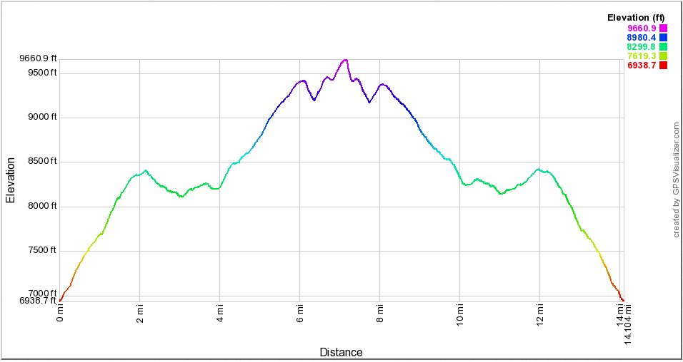
Distance: 16.0 Miles
Vertical Gain: 4100'
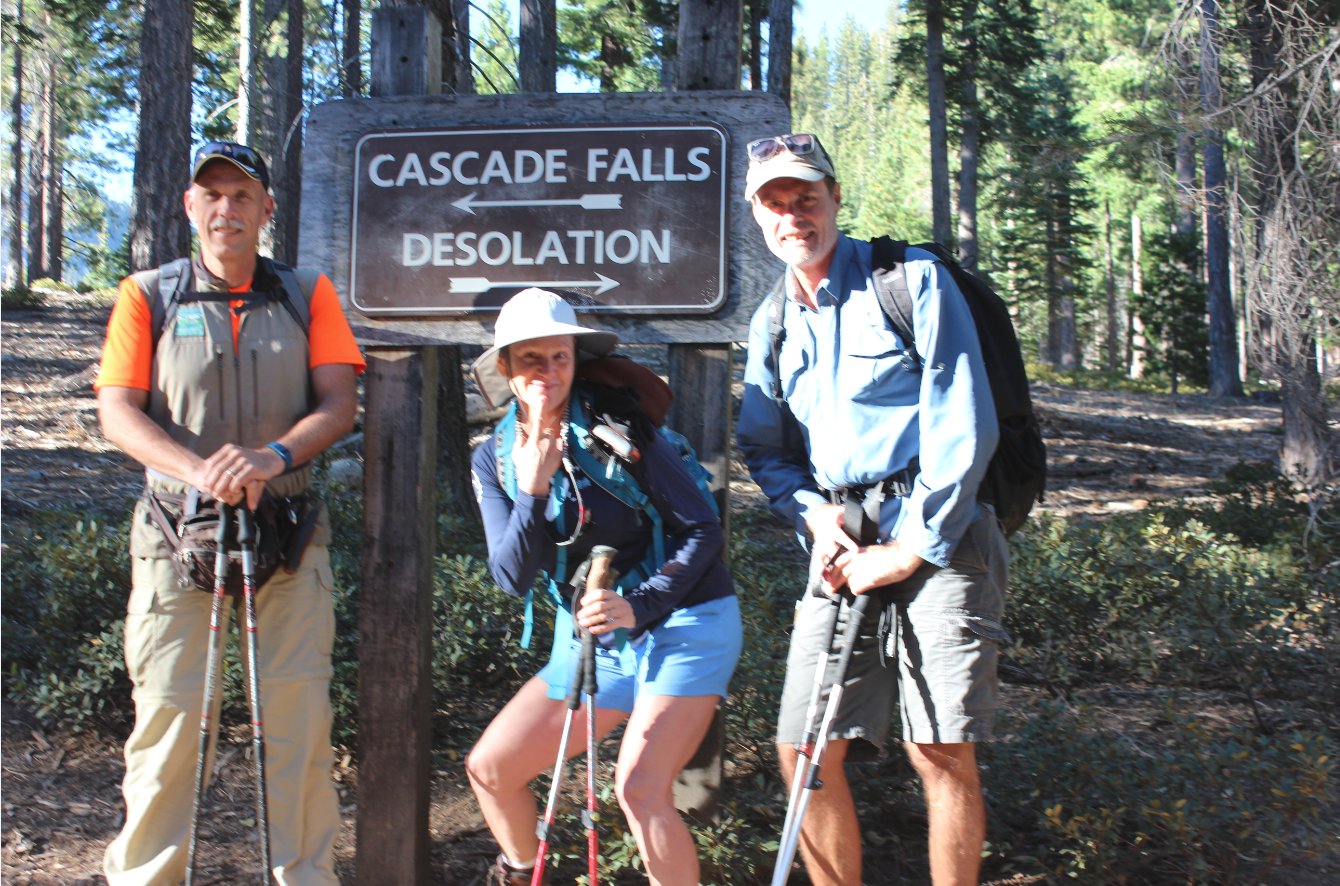
Group Size: 3
Hike Rating: Easy Moderate Hard Strenuous
 GPX for
this trip
GPX for
this trip
| Start Coordinates: | N 38 56.768 W 120 05.883 | End Coordinates: | Same as Start Coordinates | ||
| Car Shuttle Req'd: | No | Parking Directions: | Take Highway 89 to Emerald Bay on the west side of Lake Tahoe to the Bayview Campground parking area, directly across from the Emerald Bay Inspiration Point turnout. | ||
| Hazards of Note: | Significant uphill climb during the entire hike, a long distance to the peak and some class 3 climbing involved heading up to the peak. | Crowd Factor: | Moderate to High. This is a popular entrance into Desolation Wilderness and many of its most popular destinations. Get there early on a weekend to find parking near the trailhead. | ||
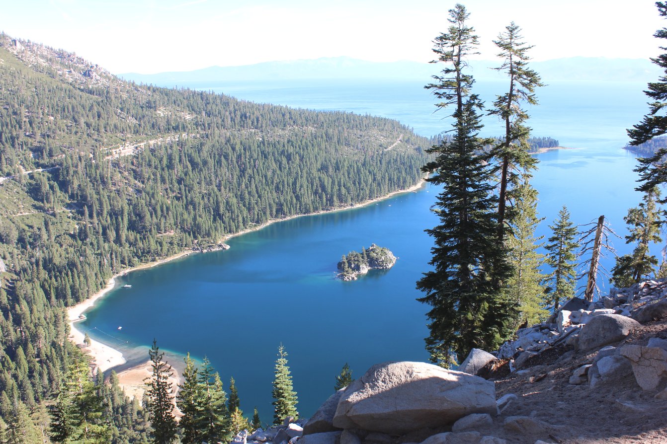
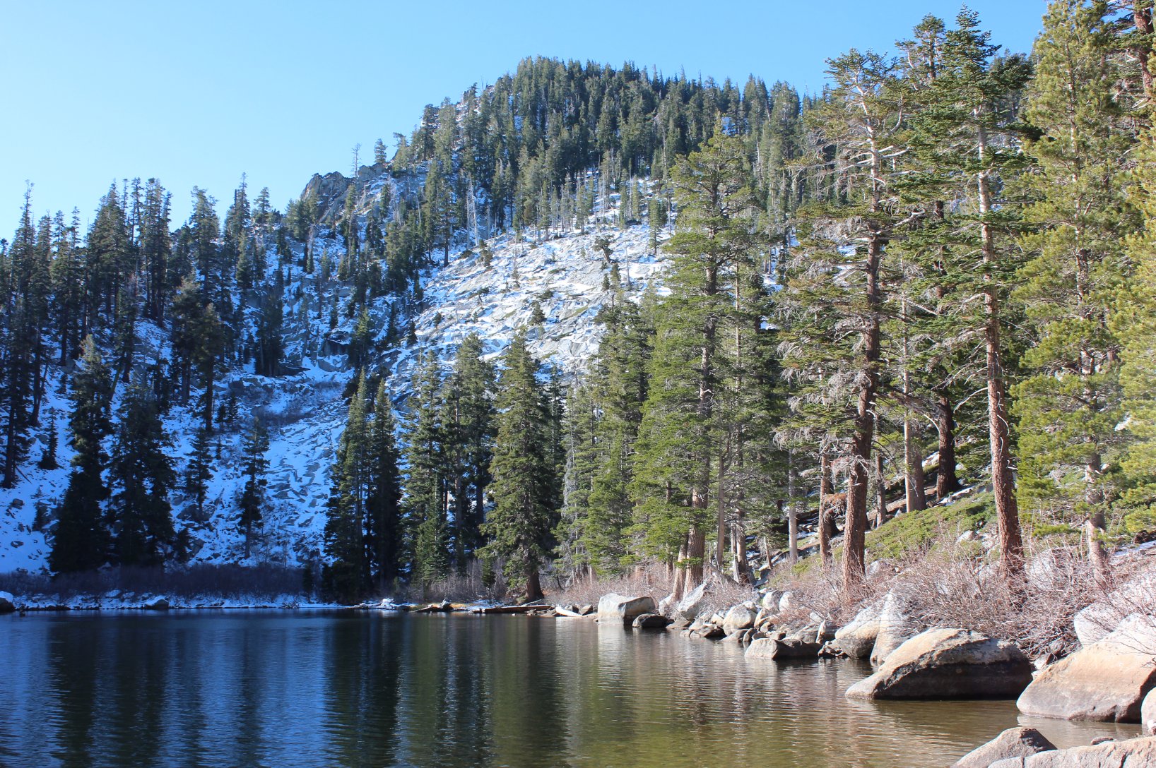
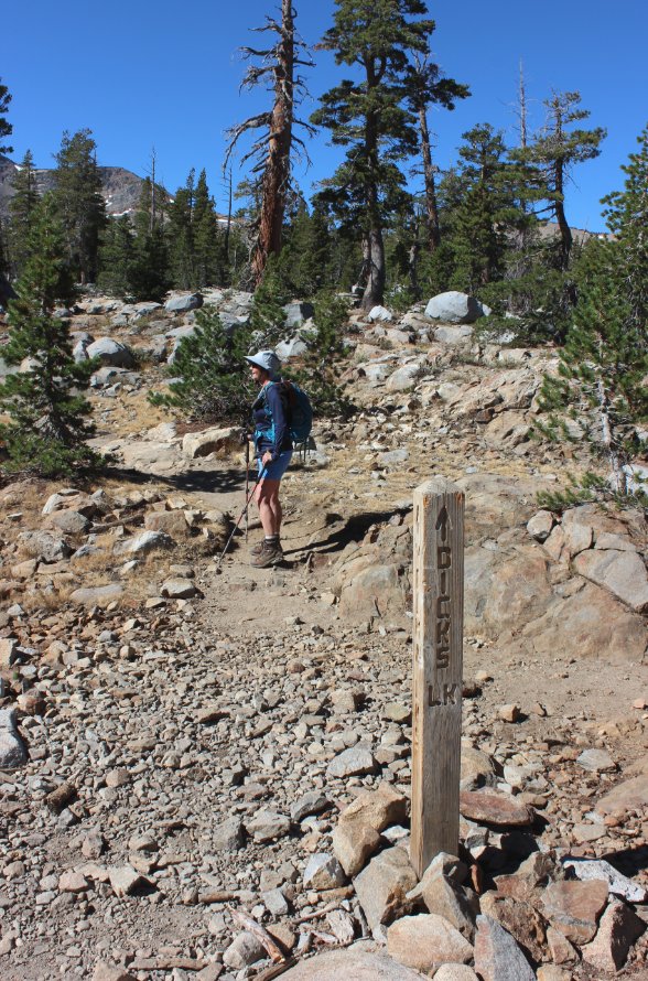
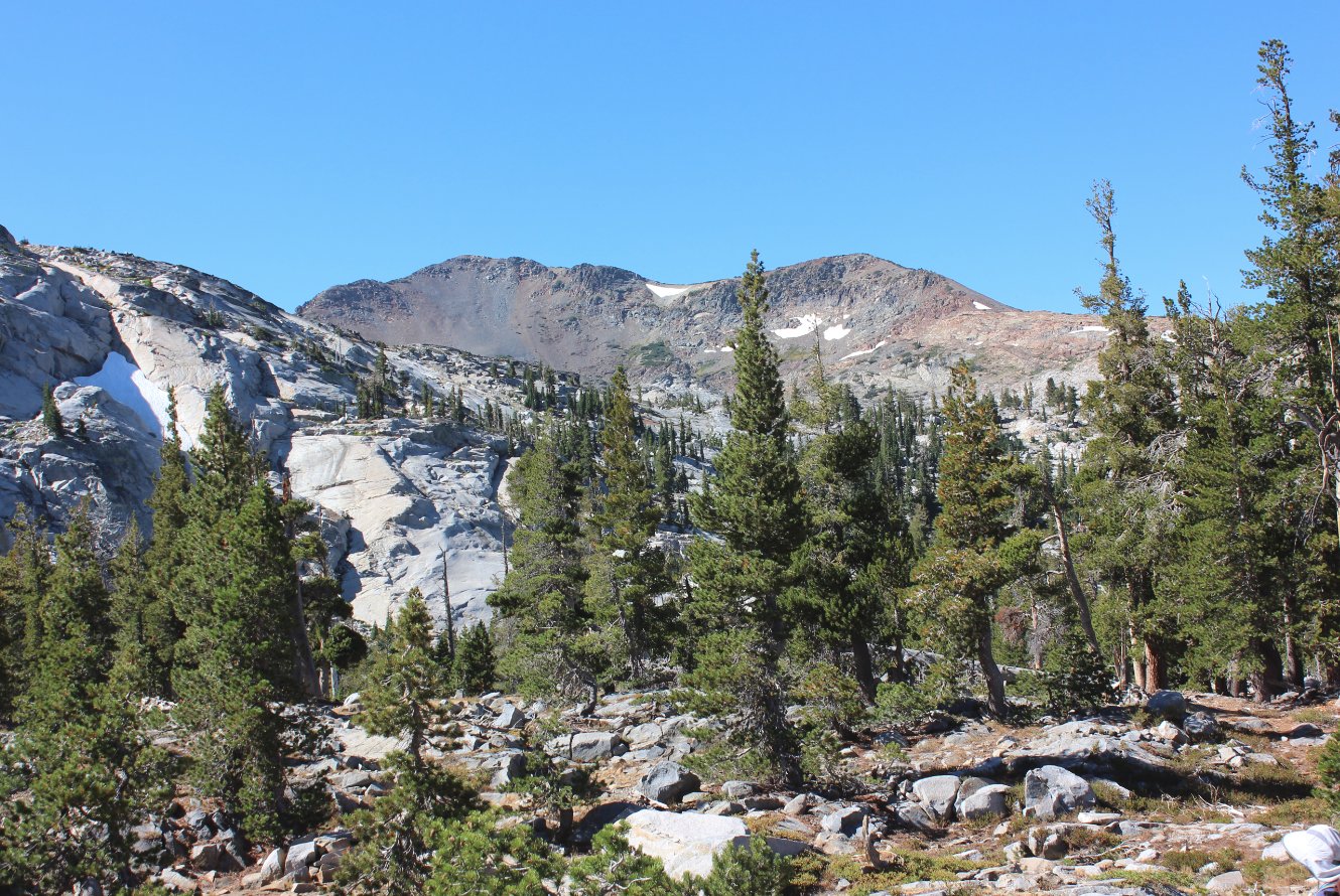
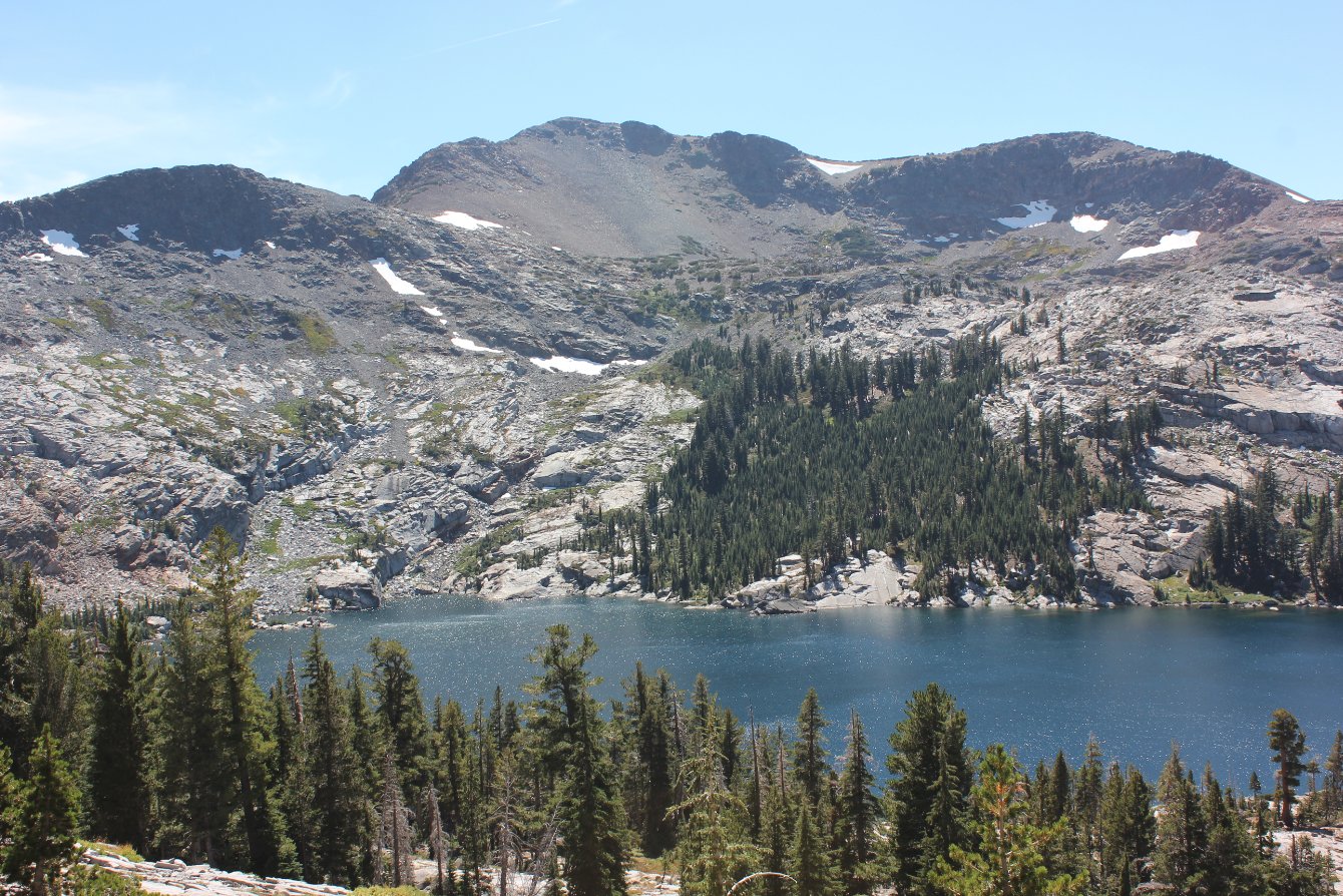
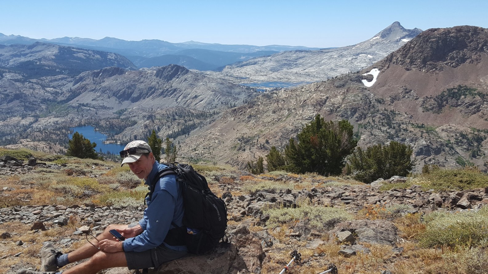
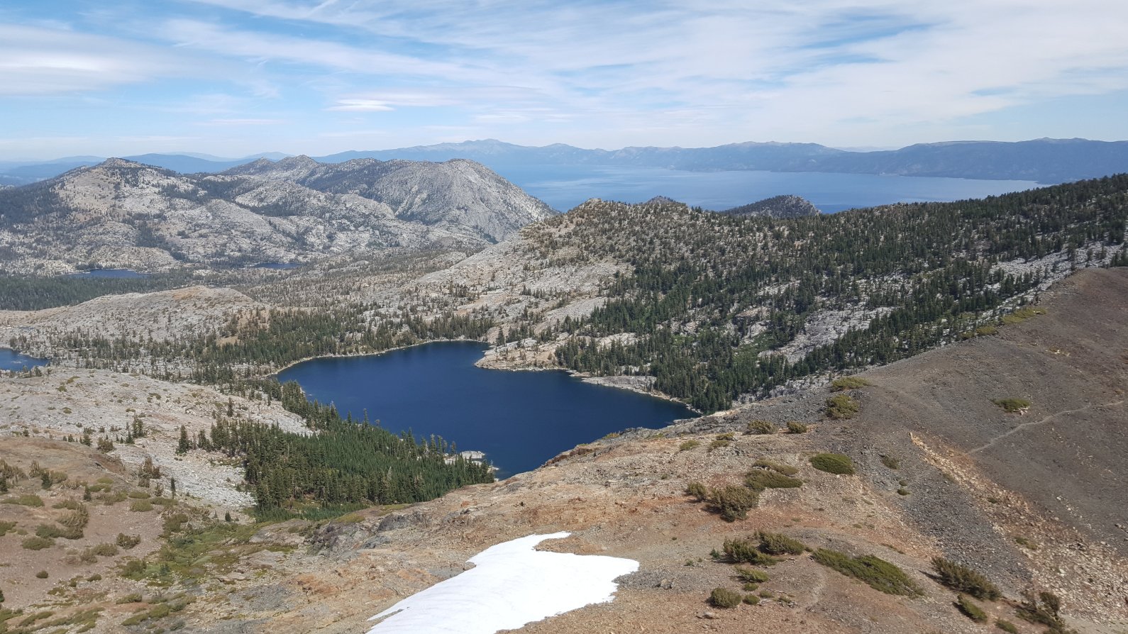
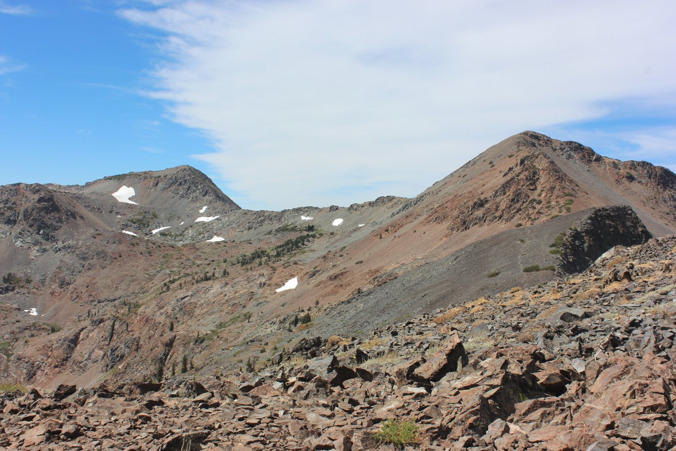
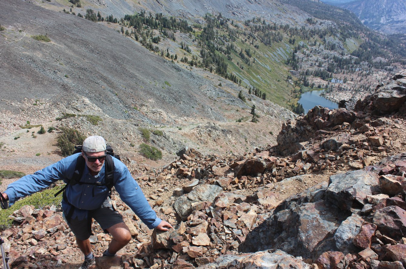
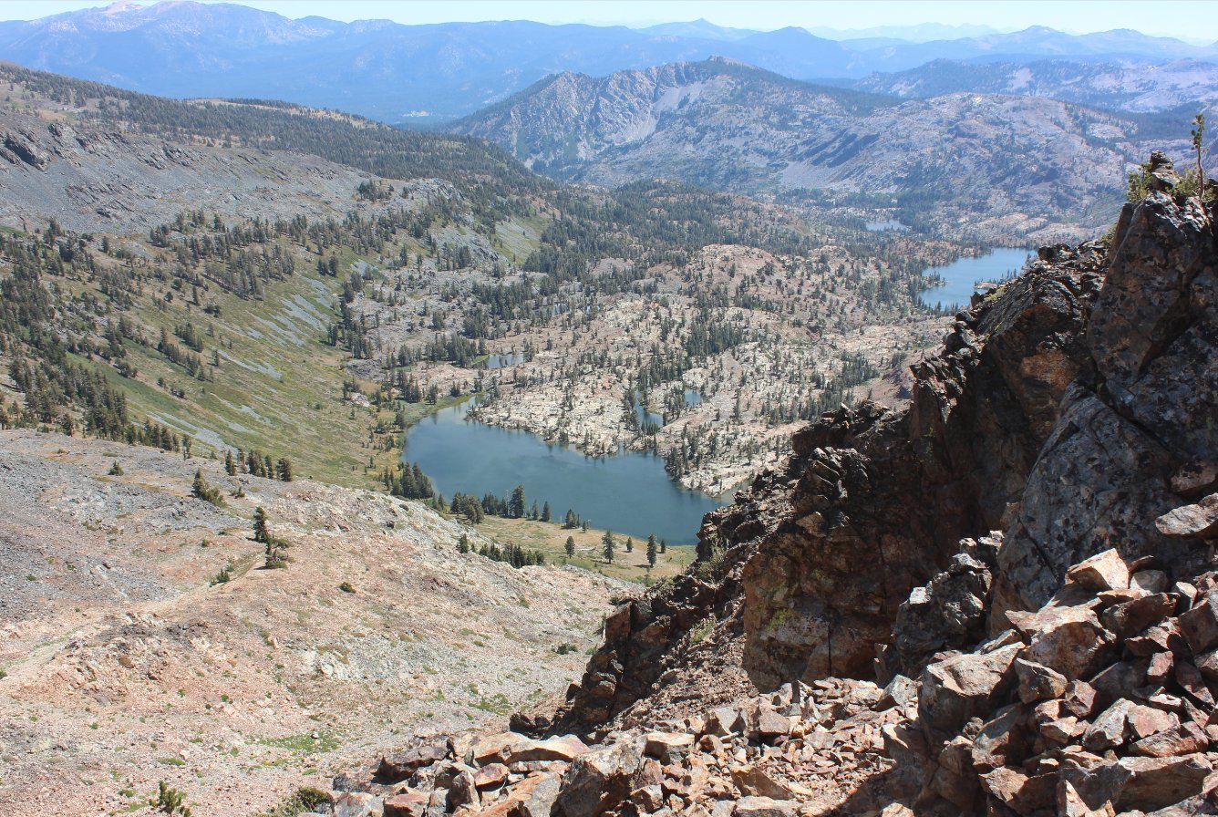
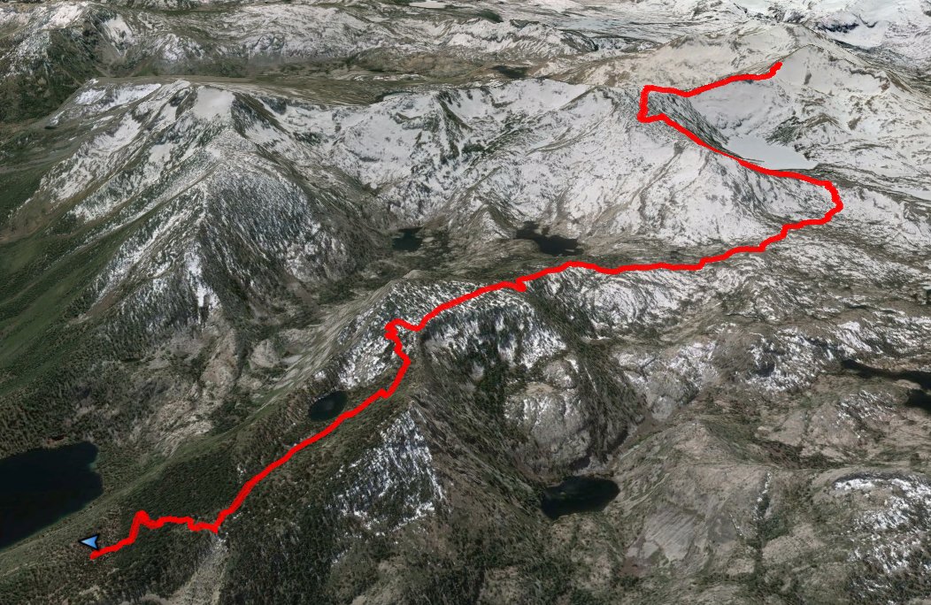
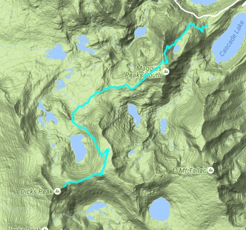
| General Notes: Heading up from Bayview Campground trailhead, be sure to take the correct trail on Bayview and not toward Cascade Lake. There are many switchbacks along the way, and at one point less than a mile up there is a magnificent overlook of Emerald Bay from just a little off the trail. Granite Lake is just a little over a mile and a half up, nestled into a little bowl at the base of the two Maggie's Peaks. The trail eventually hits the saddle between the North and South Maggie's Peaks a little over 2 miles in, levelling off for a short time. The trail then bends west, and will intersect with the Eagle Lake trail in another mile. Continue on the Bayview trail, and take the junction to Dick's Pass around 4 miles into the trip. From here the trail heads across open granite, climbing up toward Dick's Lake before joining with the Pacific Crest Trail (PCT) at around mile 5. Turn left (north,) and switchbacks will lead you up the ridge on the east side of Dick's Lake, offering views of the summit you will be climbing to as you head up toward Dick's Pass. At the pass is a small wood marker, and the trail continues on up and over and then down for a short way before it then bends sharply to the right (north) once again. At this point you will leave the main trail and follow the use trail to the west which is obvious and climbs up toward the false Dick's Peak summit. To attain the peak, stay to the left of the false summit, or you will be faced with a dangerous rocky climb of more than 50 feet that is nearly vertical. The summit is another 3/10 of a mile to the west. Since this is a hike into Desolation Wilderness, you will need a day permit (free at the trailhead) and the group size limit is 12. |
|||||