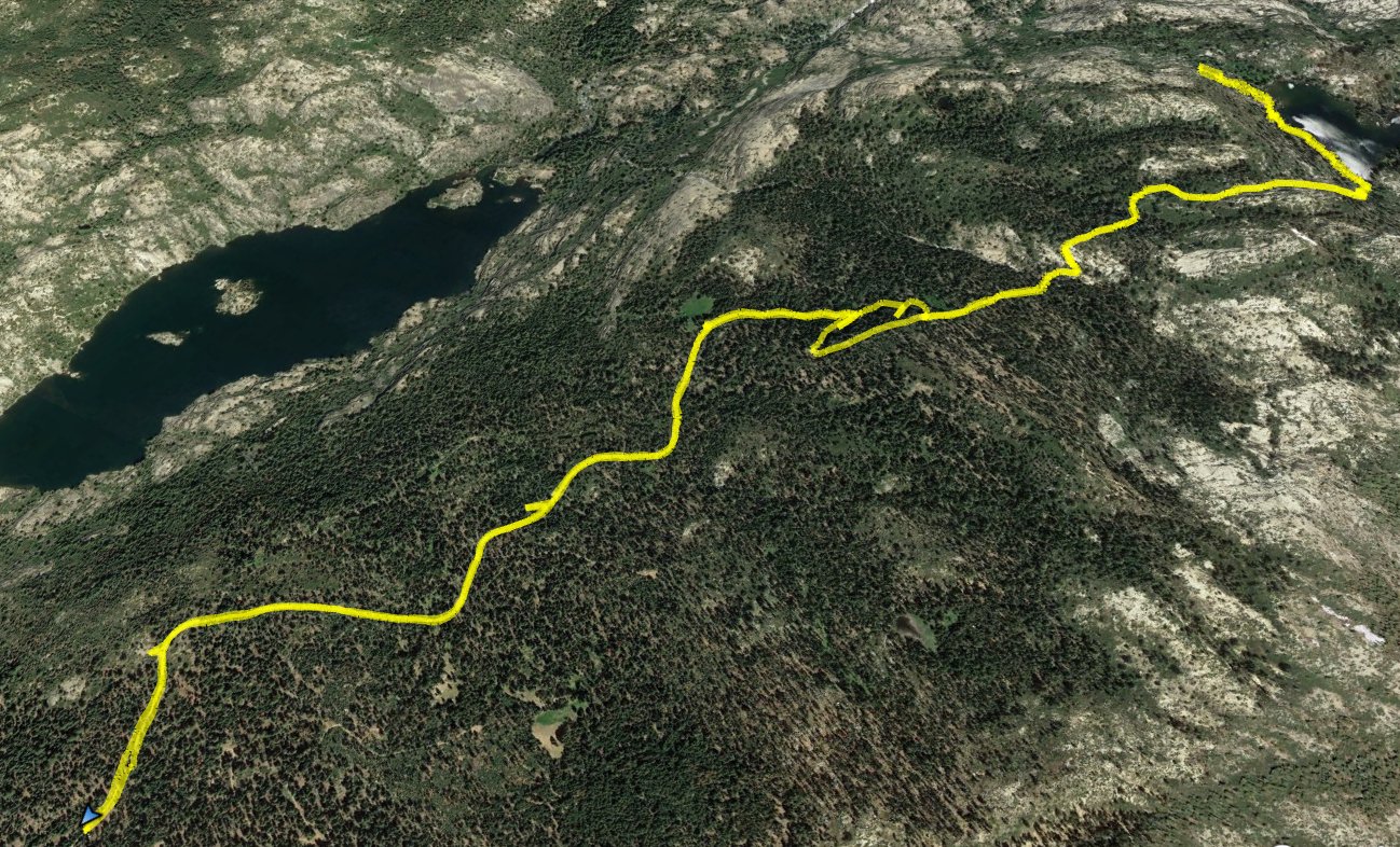
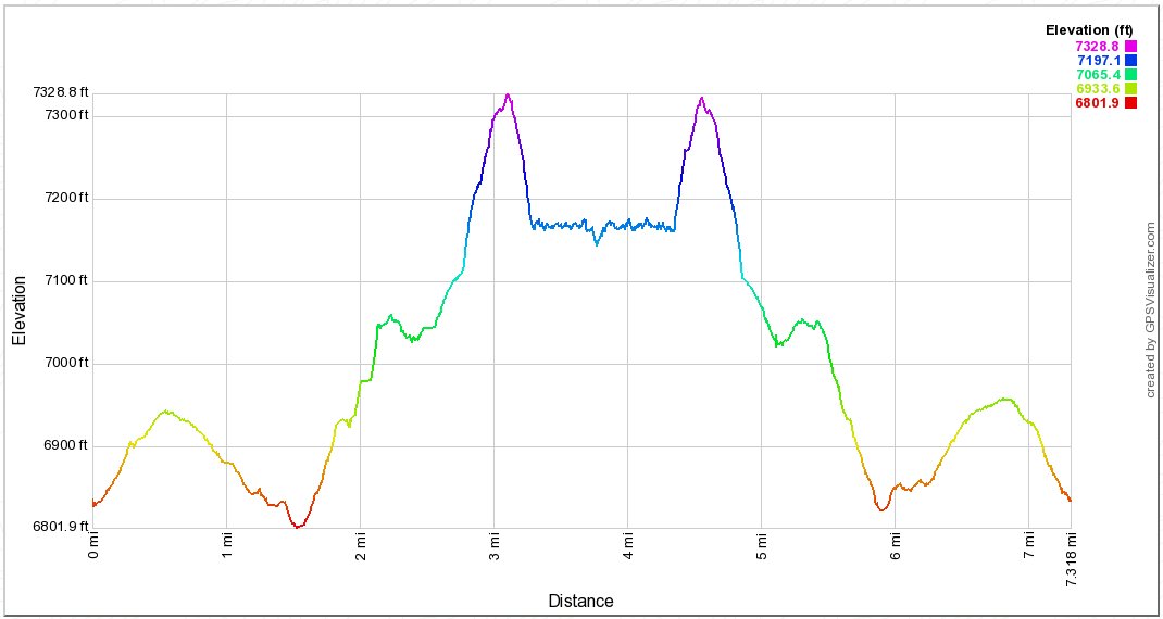
Back to index Devil's Lake Hike
Trip Date:  05/18/2018

Distance
: 7.3 Miles

Vertical Gain: 500'

Group Size: 2
Hike Rating:  Easy   Moderate    Hard   Strenuous
Devil's Lake Hike Route
Download GPXGPX for this trip
Devil's Lake Elevation Profile
Start Coordinates:   N 38 33.191
W 120 12.163
    End Coordinates:   Same as Start Coordinates
Car Shuttle Req'd:   No Parking Directions:   Take Highway 88 to the Bear River Reservoir exit and head downhill and cross over the dam.  Continue on this paved road, passing the South Shore and Pardoes Point campgrounds. Turn left and head down the dirt road just to the east of the reservoir, heading north for as far as you can go to the parking coordinates.    
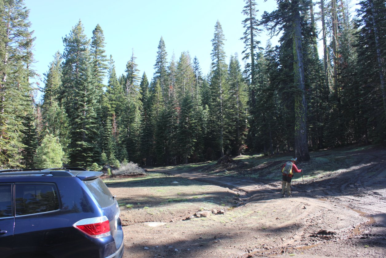
Hazards of Note:   Getting to the trailhead is not easy, and while parking is available at the actual marked beginning of the trail it may not be accessible without 4WD.  

Crowd Factor:   Minimal.  This is one of the lesser-known trailheads in the Mokelumne Wilderness and you will have few visitors in the area
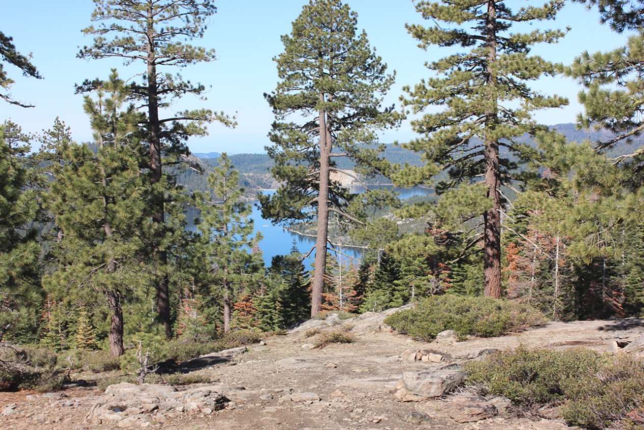
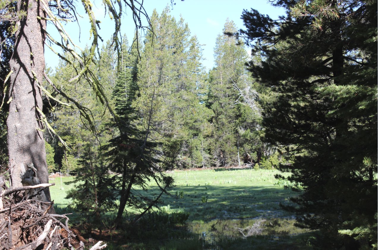
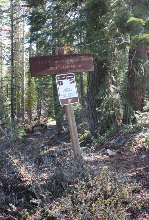
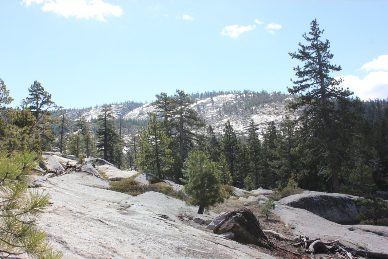
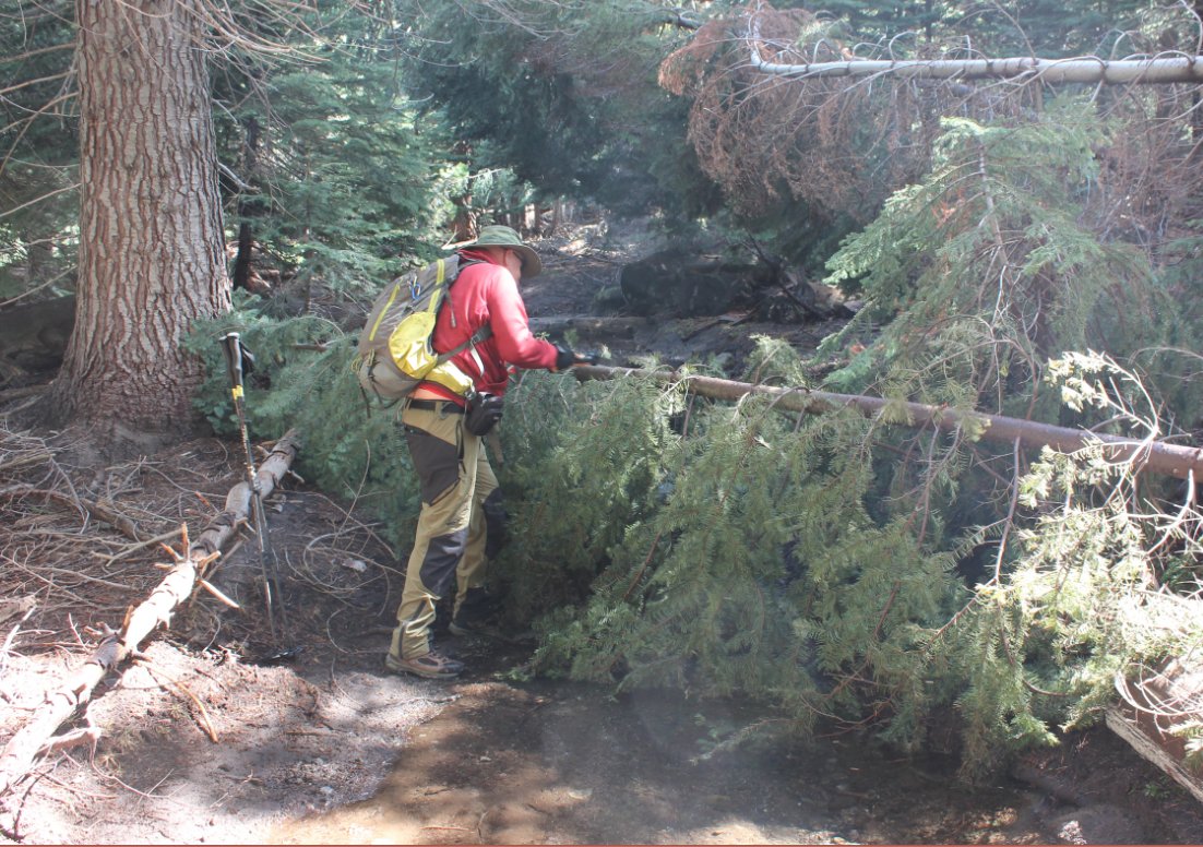
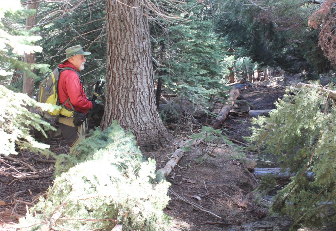
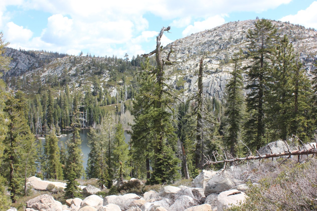
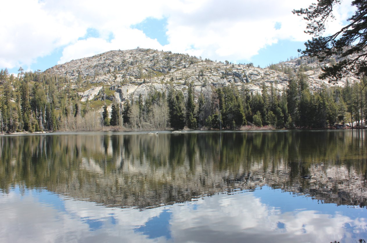
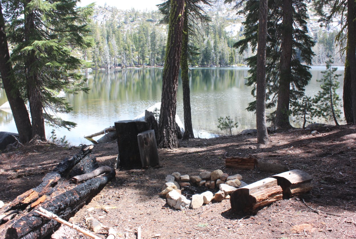
General Notes:
From the parking coordinates listed here head about 2 miles along a dirt road until you reach the signed trailhead.  At one point the road switchbacks significantly away from the trailhead, but continue on the road and it will turn back toward the correct location eventually.  Once on the actual trail the way is pretty straightforward all the way to the lake.  Once reached, there are numerous camping spots along the southern shore worth checking out.

Starting out from the parking area.  It is possible to drive closer to the lake with 4WD, but not recommended otherwise. Parking area
Along the way are a few glimpses of Lower Bear River Reservoir through the trees. Lower Bear River Reservoir
About 1/2 a mile from the parking along the dirt road was a large meadow which had remnants of a hunting campsite nearby. Meadow
Finding this trailhead marker was no easy task but stick to the dirt road, regardless of switchbacks and you will find it. Trailhead Marker
The topography of the area.  Lots of granite and views of some of the lesser-travelled areas of the wilderness. Topography
Mark working on a couple of down trees we encountered on the trail. Working on the trail
Success as we were able to clear at least this one off of the trail. Success
First glimpse of Devil's Lake from along the ridgeline as the trail started a descent into the bowl where the lake was situated. Almost to the lake
After reaching the lake the trail disappears, but there are wonderful views across the lake from along the southern shore. Looking north
Clouds reflecting on the lake as we looked west across the water. Reflection
This one was the nicest of many campsites along the southern edge of the lake. Nice Campsite
Venturing past the lake we spotted a large falls in Tragedy Creek about 1/2 mile away. waterfall
GPS Track of the full hike, with the lake in the upper right. GPS Track of Hike