 |
Deer
Valley 4WD
Trail Hike
|
|
Trip Date: 09/22/2017
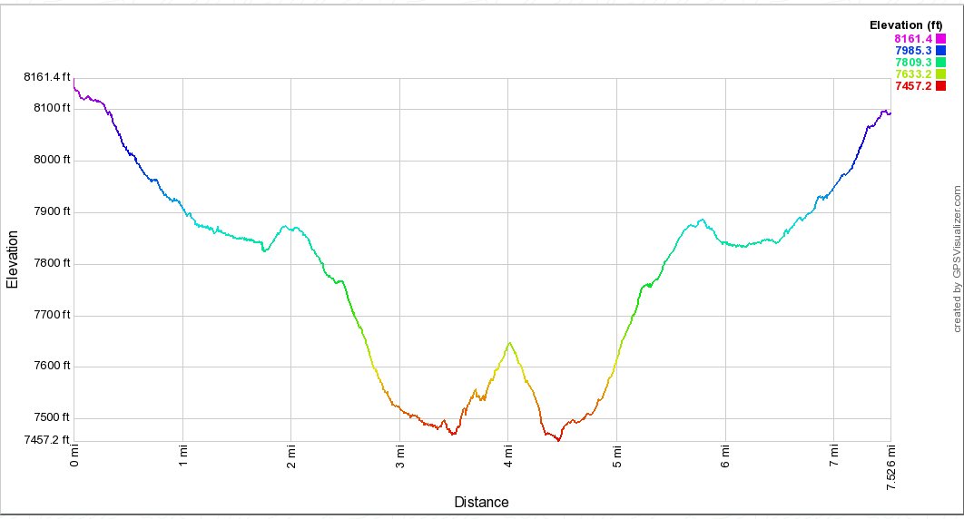
Distance: 8.0 Miles
Vertical Gain:
800'
Group Size:
1
Hike Rating: Easy
Moderate
Hard
Strenuous |
 GPX
for
this trip GPX
for
this trip |
|
| Start
Coordinates: |
N 38 36.573, W 119 55.510 |
|
End
Coordinates: |
Same as Start
Coordinates
(There is the option of a one-way hike ending up on Highway 4 at the
coordinates (N 38 32.274 W 119 53.976.)
|
| Car
Shuttle
Req'd: |
No |
|
Parking
Directions: |
Take
Highway 88 to Blue Lakes road and turn south. Follow the road
for
a little more than 12 miles to the parking area just to the southeast
of Lower Blue Lake.
|
|
| Hazards
of
Note: |
On
weekends this trail might have a number of jeeps and other motorized
vehicles (motorcycles and ATVs) riding on it. Significant
amounts
of rock along sections of the trail can make for poor
footing.
Two large stream crossings which have alternative ways across them, but
the second one is a good 1/4 out of the way of the trail.
|
|
Crowd
Factor: |
Moderate.
|
General
Notes:
From
the parking area head south across on the road following signs to
Meadow Reservoir until you reach the start of the Deer Valley 4WD road
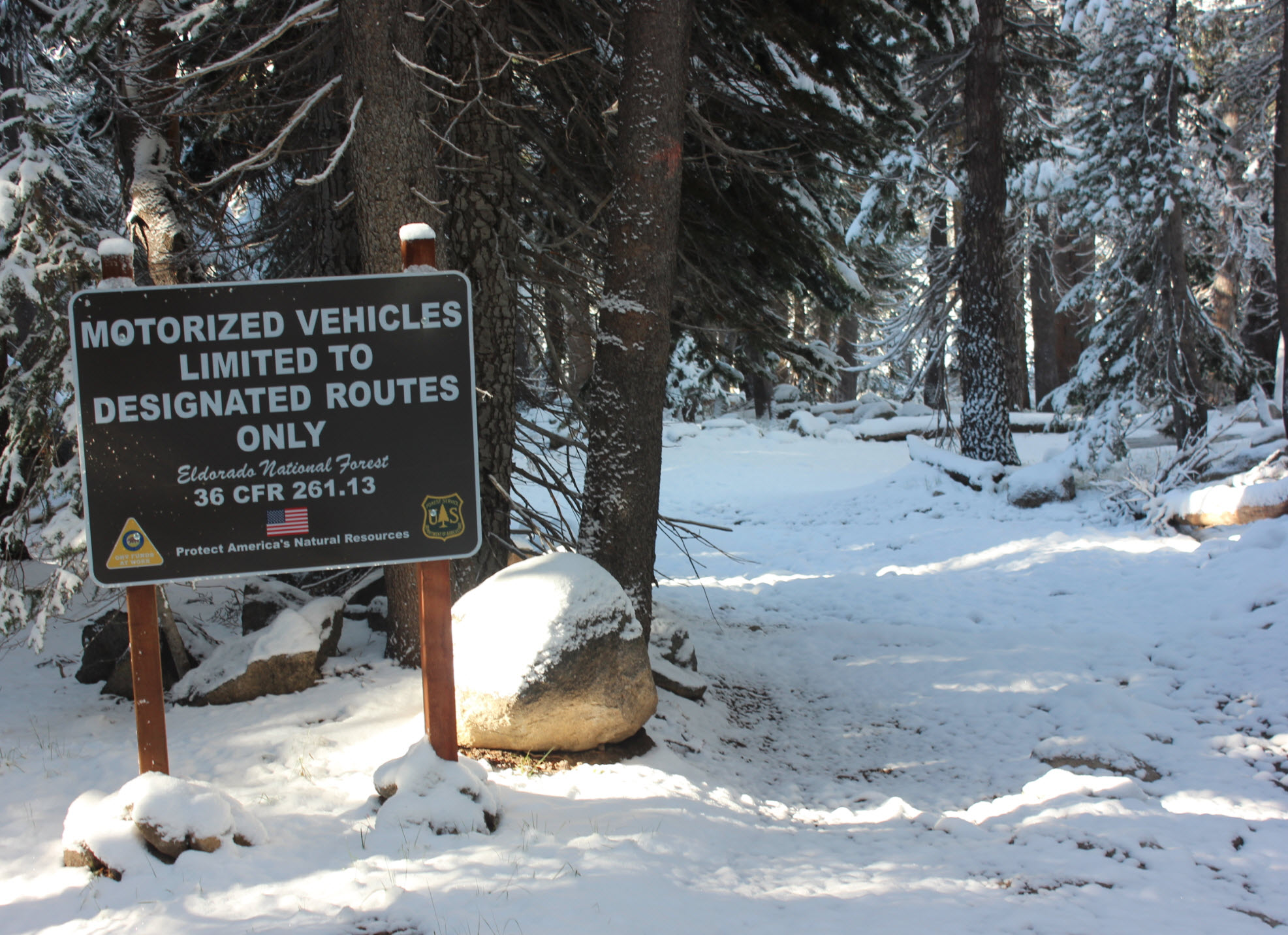
off to your left. There is a large sign here indicating the
rules
of motorized vehicles on this section of the trail. For the
next
mile and a half the trail follows Deer Creek on the right, over
sometimes very rough rocks and slightly descending through the forest
for the entire section of trail. A water crossing appears as
soon
as you hike out of the forest into an open meadow area, and you can
either ford the water at this point, or head upstream about 200 feet to
find an old, rickety bridge providing a way across the water.
On
the other side you will have to pick your way carefully, as there are a
lot of areas of reasonably deep (1ft) water hidden in the long grasses
of the area. Pick up the trail again across from where you
initially found a jeep crossing of the river, and head another couple
miles down the trail, still in the forested section until you come to a
second crossing.
From here, you can find an old signpost at the coordinates of N 38
34.253 W 119 54.945 which is the start of the old and very difficult to
follow trail to the Stevenot Camp area about a mile and a half to the
west. Heading almost due south from this point will also
provide
a rock hop crossing over Deer Creek, which then offers a scramble up
granite boulders on the other side and a short walk of only about 2/10
mile back to pick up the Deer Valley Trail continuing on to the south.
|
|
|
The
sign you will be looking for at the start of the trail to make sure you
are heading along the correct route.
|
 |
|
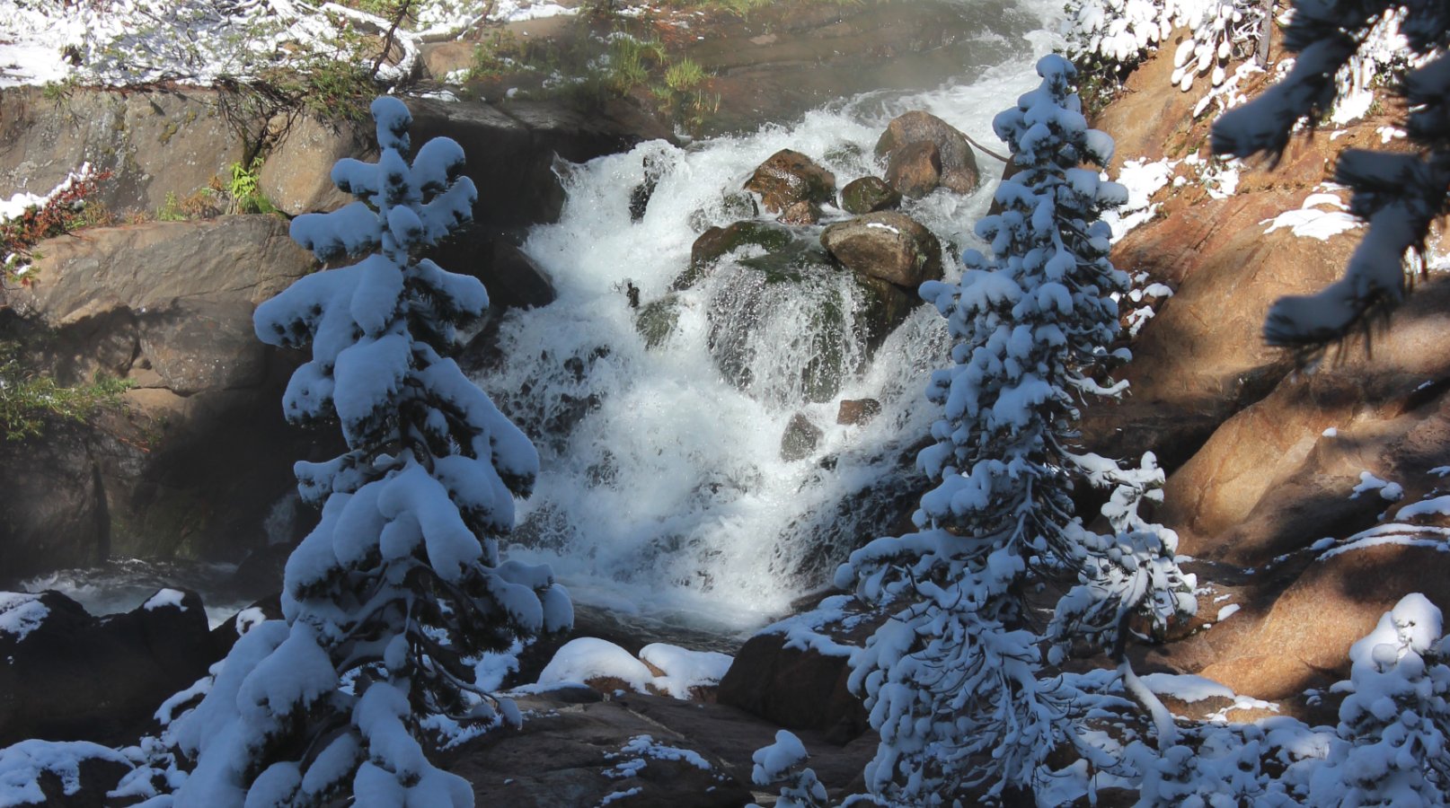
Only
about a quarter mile into the hike, along to the right is a short
detour you can take to see a pretty impressive picturesque waterfall.
|
 |
|
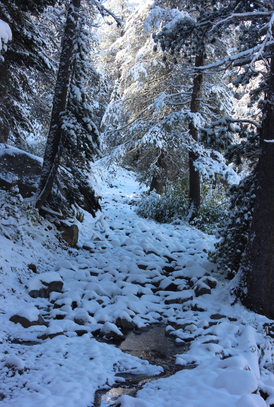
This
is a very typical section of trail, so careful footing is a must as you
walk along rocks just waiting to twist your ankle for you.
|
 |
|
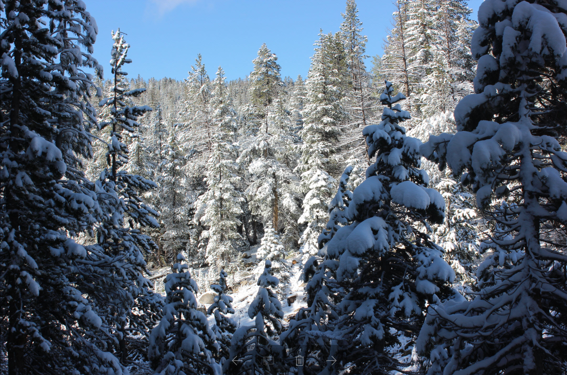
There
aren't a lot of wide open vistas on this trail, but the beauty of the
area is still all around you. The early season snowstorm the
night before added another dimension to the experience as well.
|
 |
|
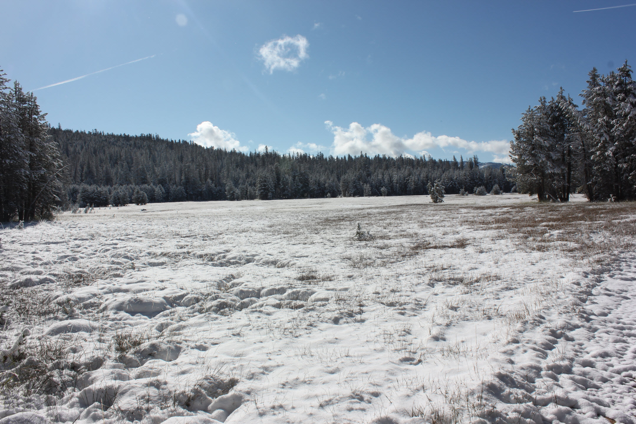
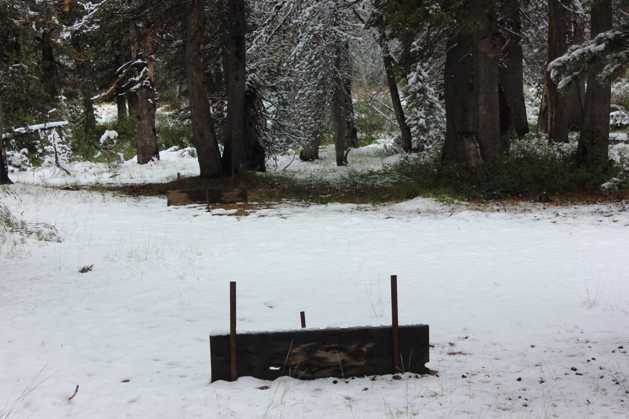
This
first meadow at the end of Clover Valley stands in stark contrast to
the entire trip up to this point which had been through thick
forest. The water crossing here can be managed heading
upstream
for a little bit to find a bridge near a campsite sporting a built-in
horseshoe pit along with the fire rings scattered around.
|
 |
|
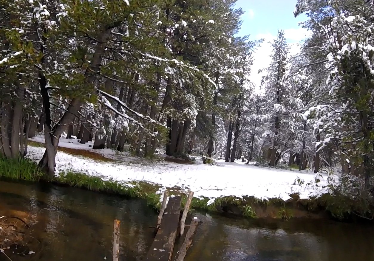
The
bridge to keep an eye out for as an alternative to wading through the
ice cold water this time of year.
|
 |
|
One
of the leisuretime activities at this frequently visited jeep camping
area.
|
 |
|
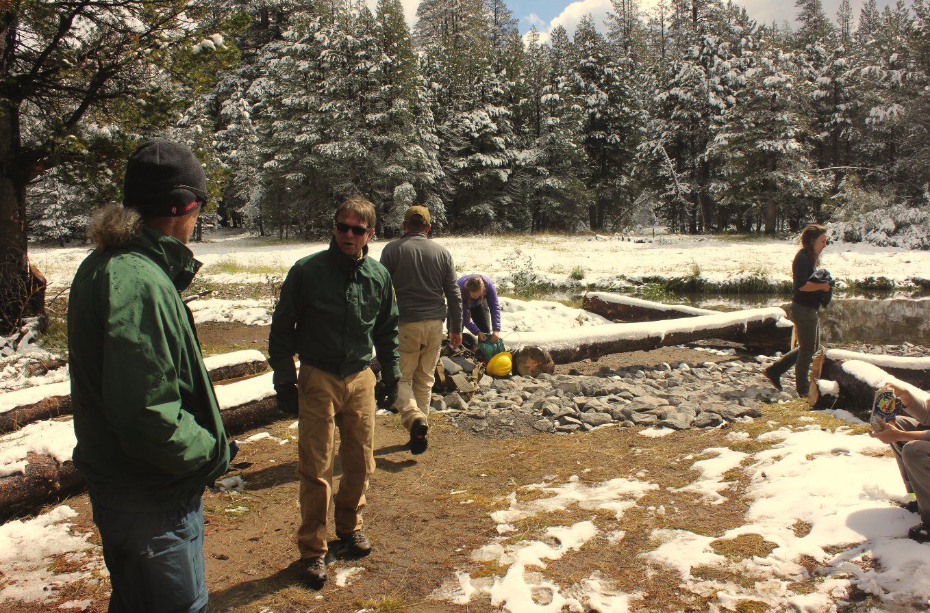
US
Forest service workers fixing up some of the area around the second
water crossing on the trail. To the right of the picture is
where
the old Stevenot Trail begins, as well as an alternative to wading
across this part of the river as well.
|
 |
|
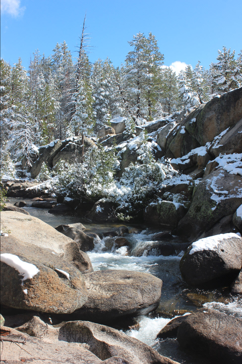
The
crossing of the stream which allows for an alternate way across to
continue on the trail to the south. The snow on the other
side of
the stream made the scramble up that side a little on the harrowing
side on a cold, snow-covered day.
|
 |
|
Old
trail sign post at the start of the Stevenot Camp trail. The
indentation of the old trail is visible, but the trail is difficult to
discern any longer, even without snow cover.
|
 |
|
Trying
to follow the Stevenot Camp trail for a bit was difficult, but offered
some enticing views of the area ahead.
|
 |
|
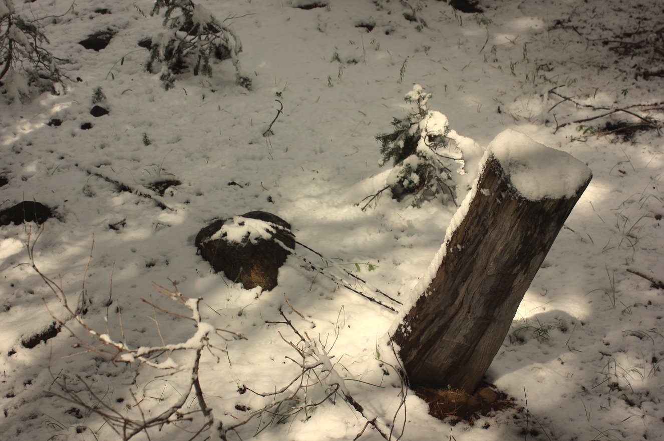
Some
of the remnants of the old grazing area from the Stevenot
Camp. A
few blazes in the trees were also found, but snow covered any chance of
finding any remaining trail.
|
 |
|
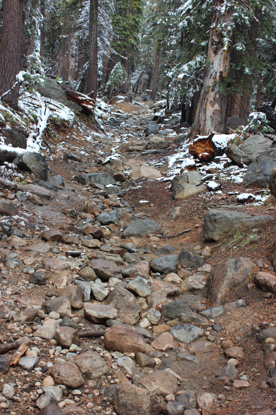
Another
indication of the type of trail for much of the way. Tough to
hike on, but good for keeping erosion damage at a minimum from the jeep
traffic which makes its way along this route.
|
 |
|
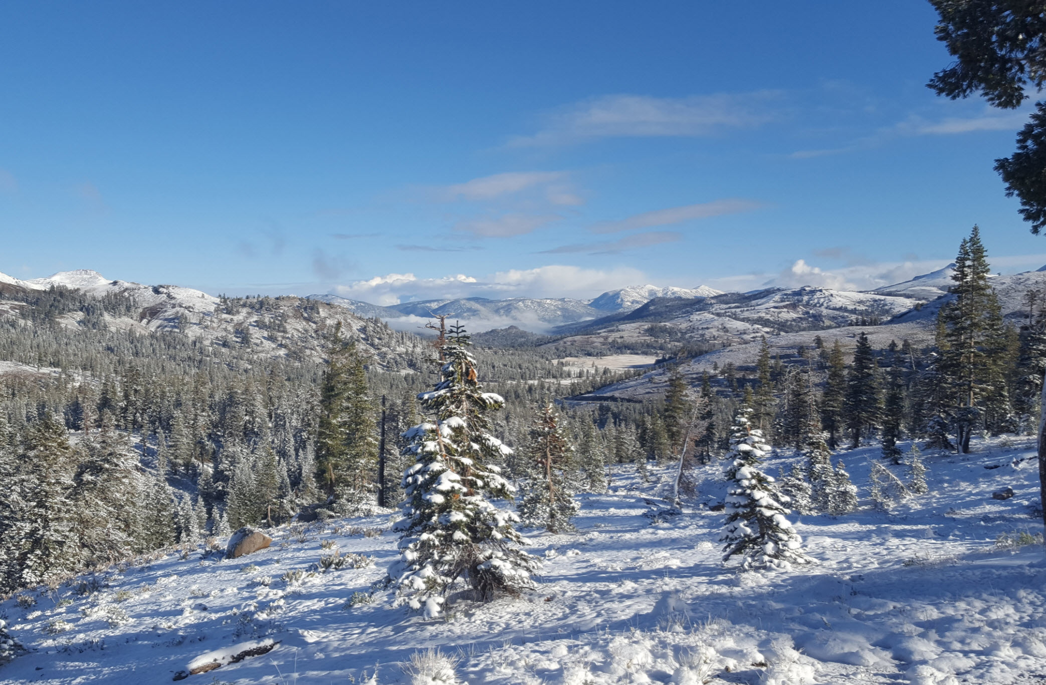
Almost
to the trailhead, this view on a cool, crisp morning right after a
snowstorm was not to be missed!
|
 |
|
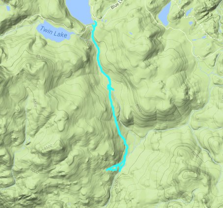
GPS
Track of the full
hike. |
 |


 GPX
for
this trip


