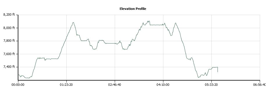
Distance: 11.9 Miles
Vertical Gain: 1700'
Group Size: 1
Hike Rating: Easy Moderate Hard Strenuous
 GPX for
this trip
GPX for
this trip
| Start Coordinates: | N 38 47.367, W 120 00.017 | End Coordinates: | Same as Start Coordinates | ||
| Car Shuttle Req'd: | No | Parking Directions: | Take Highway 89 south from Meyers (Hwy 50) or north from Pickett's Junction (Hwy 88) to the parking area for the Big Meadow trailhead on South Upper Truckee Road on the north side of the highway. Park in the paved parking area and find the trail starting across the road. | ||
| Hazards of Note: | Crossing highway 89 near the
start of the hike, bears, bikes on the Tahoe Rim Trail section to Round
Lake |
Crowd Factor: | High. This is a popular hike for wildflowers in the summer, as well as snowshoeing in the winter. Expect to have a lot of company on this trip. | ||
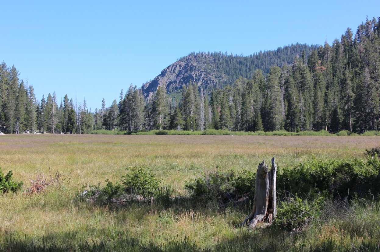
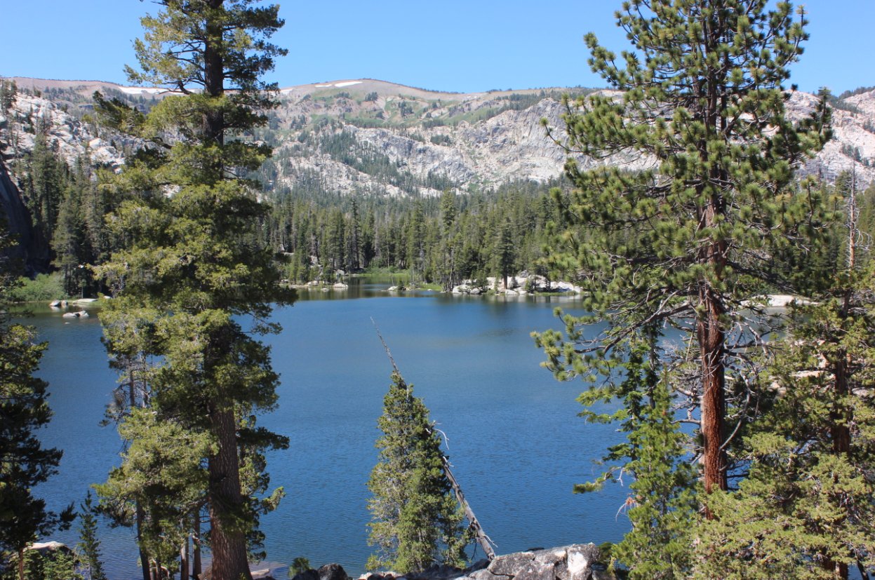
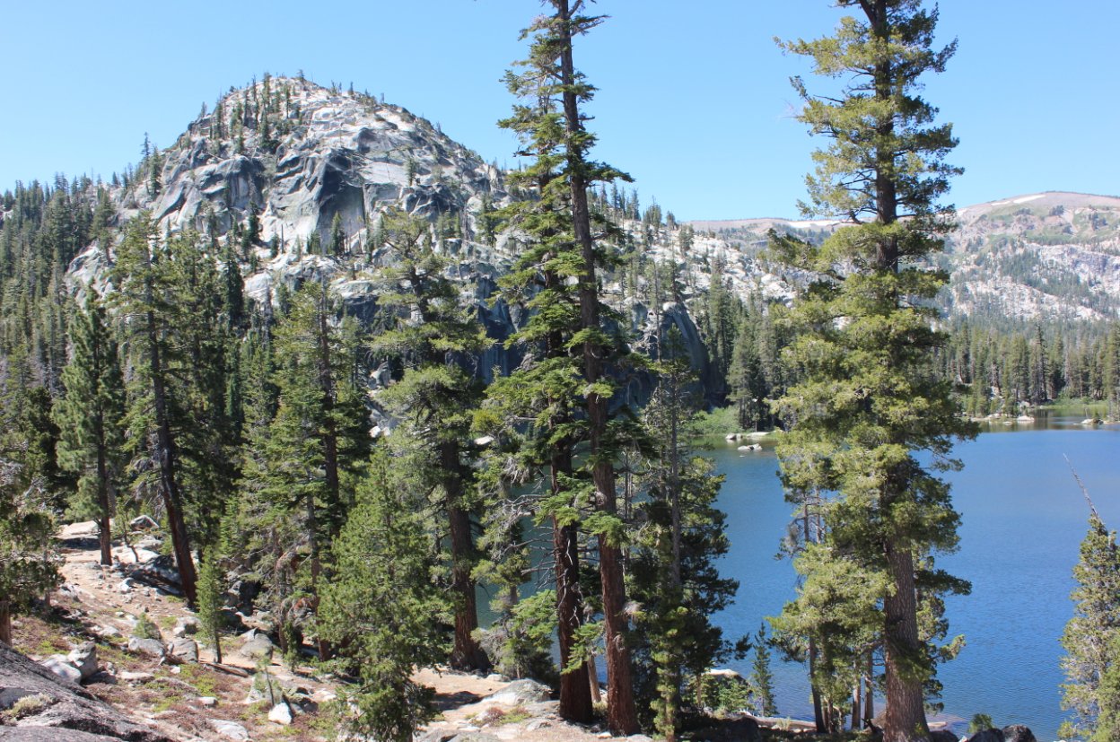
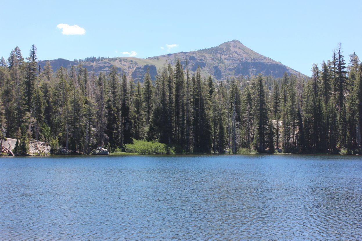
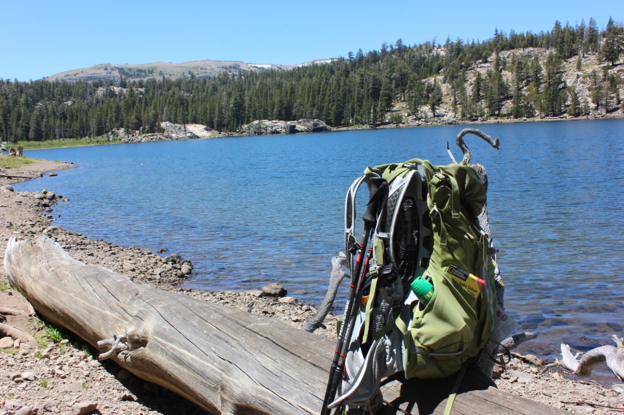
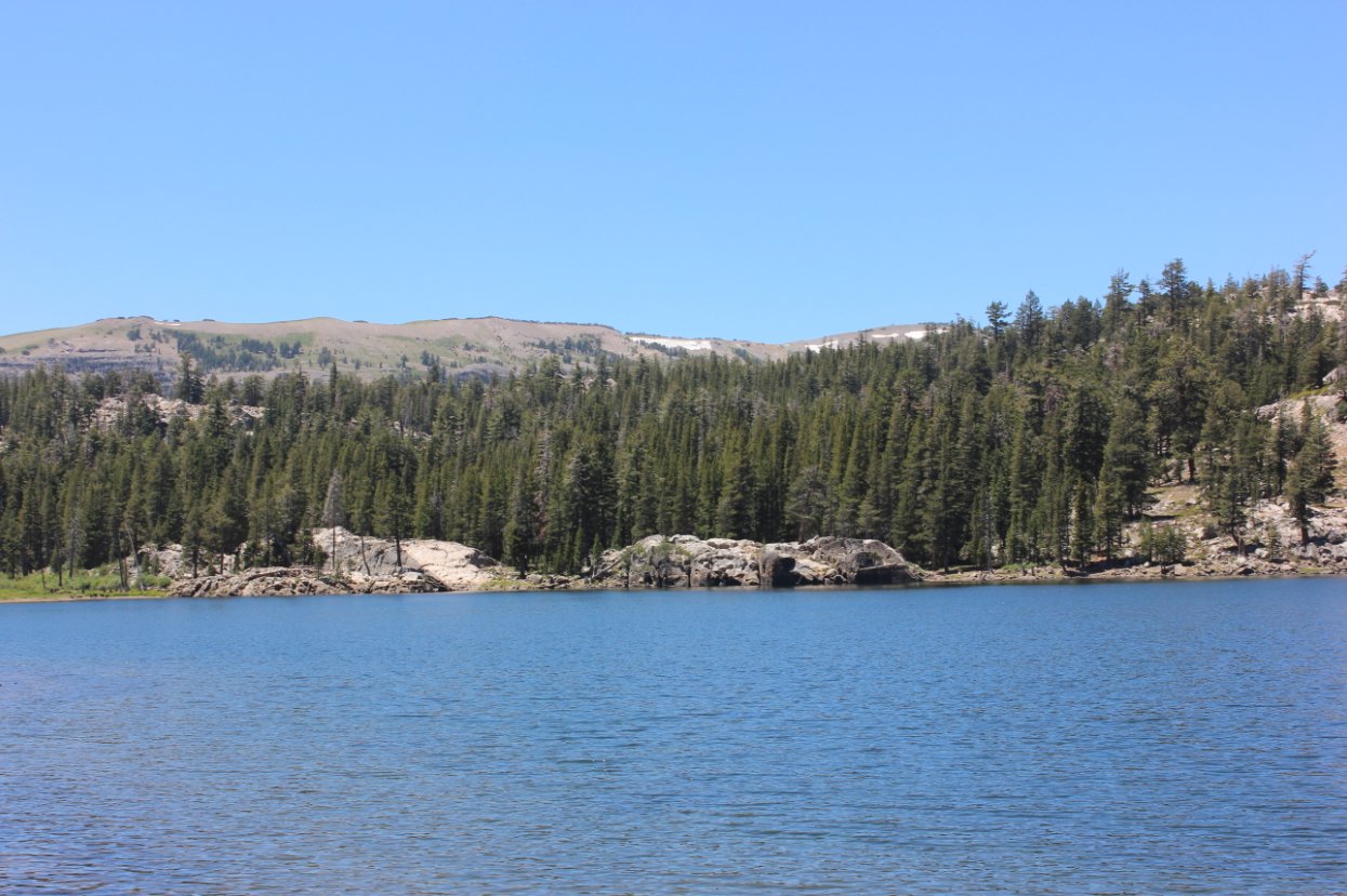
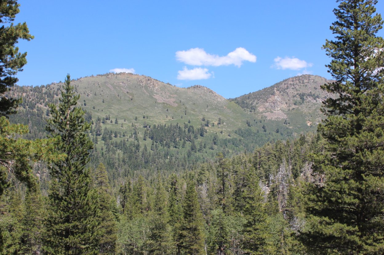
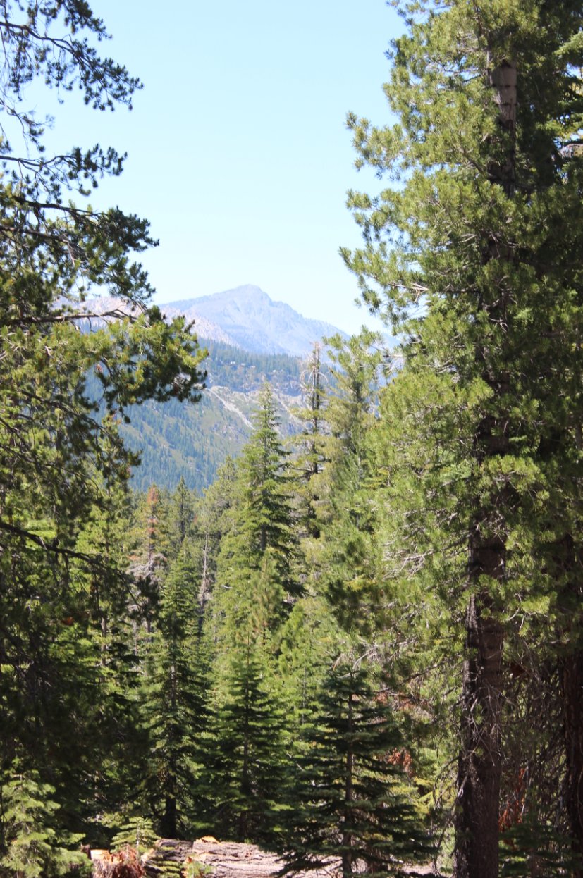
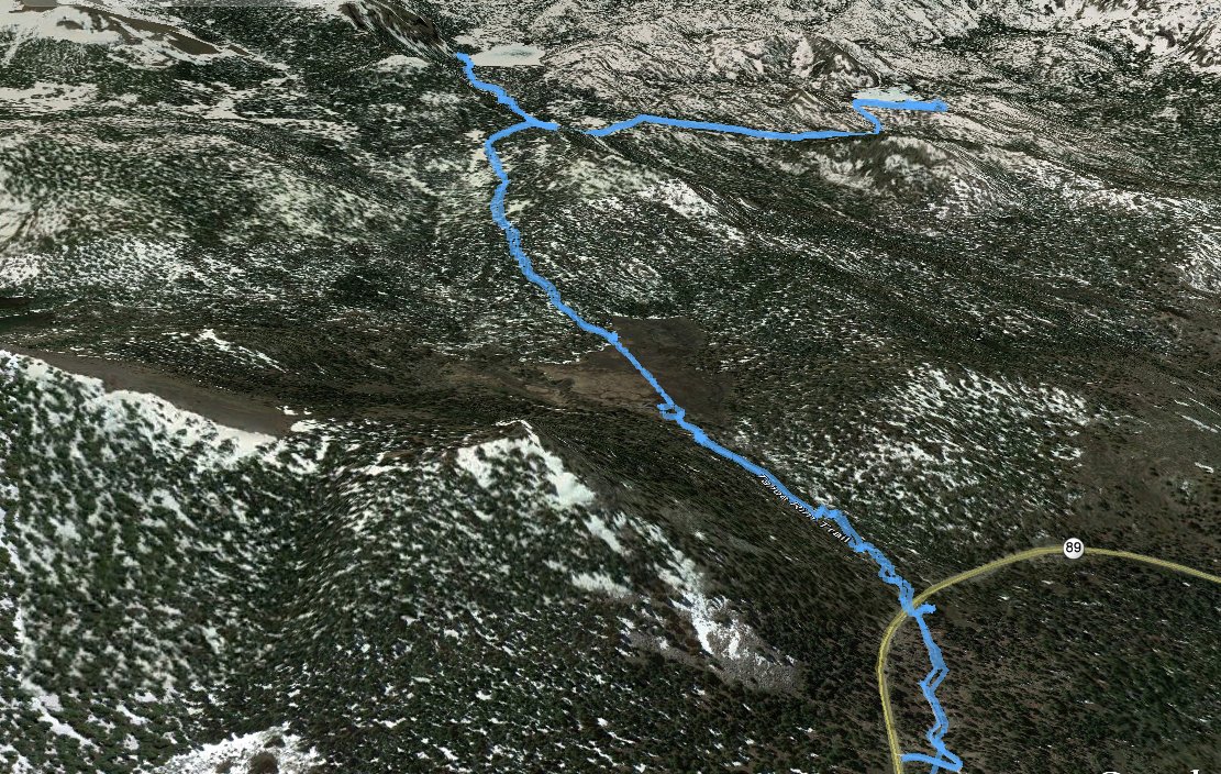
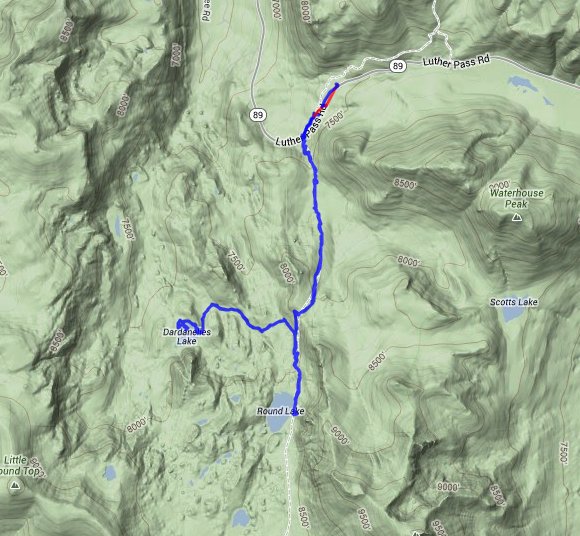
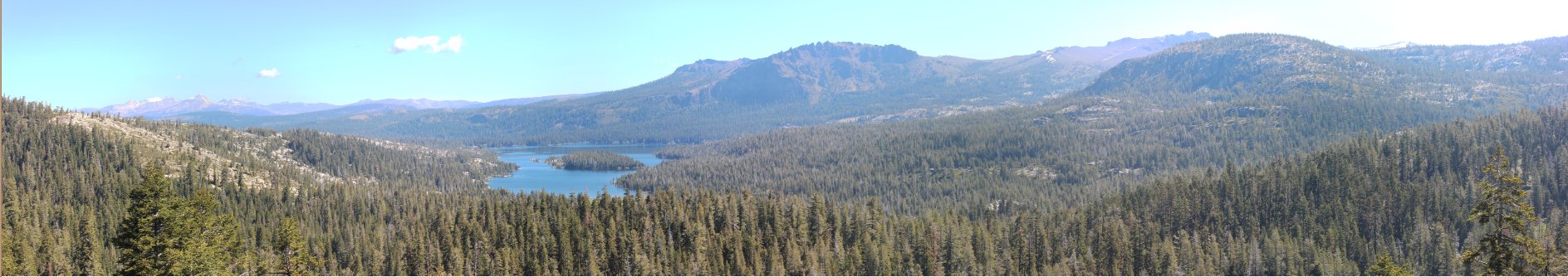
| General Notes: From the parking area head south to the Highway 89 crossing to pick up the Tahoe Rim Trail on the other side of the road. The first section gains elevation pretty quickly with switchbacks on rocky terrain, and then it will straighten out until you come to Big Meadow. There is a trail junction right before the meadow itself, which you will head to the right toward Round Lake and the Tahoe Rim Trail. If you go left you will be on the Scott's Lake trail toward Scott's Lake and Waterhouse Peak. Head across the pleasant meadow, which is bursting with wildflowers in the mid summer time. The trail will once again begin to pick up elevation pretty quickly as you head through forested trail for the next mile and a half. At this point you will come to a junction in the trail, where you will turn right on the Lake Valley trail to head toward Lake Dardanelles. It is another mile and a half down this trail to reach the lake. Make sure you take the junction to the left across a small creek to head to the lake and not just continue on the Lake Valley trail all the way to Christmas Valley where it ends. For an optional visit to Round Lake head back to the junction of the Lake Valley Trail and the Tahoe Rim Trail, turn right (to the south) and climb up the trail for less than a mile to reach the eastern shore of Round Lake. |
|||||