
|
Crown
Point Loop Hike (Day 2)
|
|
Trip Date: 07/9/2021
Distance: 7.5 Miles
Vertical Gain:
1200'
Group Size:
5
Hike Rating:
Easy
Moderate
Hard
Strenuous |
 See
video of hike
 GPX
for
this trip GPX
for
this trip
|
|
|
Start Coordinates: |
N/A - This is a continuation
from Day
1 |
|
End Coordinates: |
N/A
|
| Car Shuttle
Req'd: |
No |
|
Parking
Directions: |
N/A |
| Hazards of
Note: |
A backcountry wilderness pass
is required for overnight camping in the Hoover Wilderness, as is a
bear cannister for food storage. |
|
Crowd Factor: |
Minimal
then Moderate.
The trail section from Crown Lake into northern Yosemite is
very
infrequently traveled. Peeler Lake at the end of the day is
where you have a better chance of meeting others. |
General Notes:
Leaving
Crown Lake you will
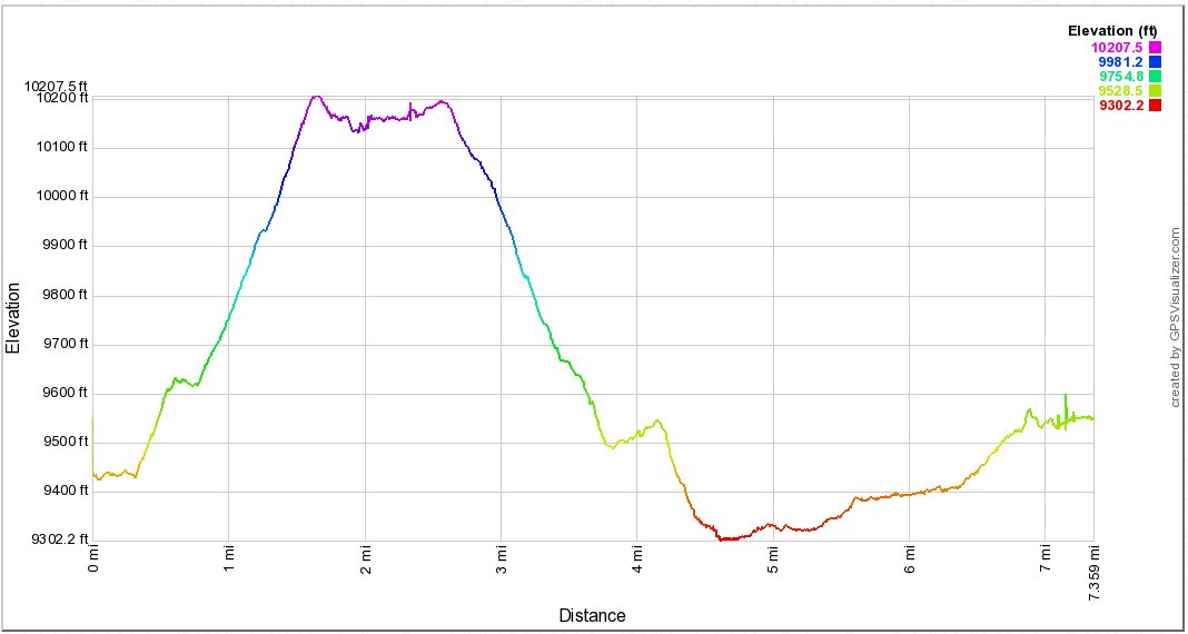
pass along the western side and then begin a significant climb of
nearly 1000' to start off the day in just under a mile. This
will
take you to Snow Lake, a beautiful spot that would also be a worthy
camping destination if you wanted to finish the previous long day with
a brutal last climb. Just before the lake you will pass a
junction which would also take you east toward Matterhorn Canyon as
well as The Juggernaut. Just past the lake is a signpost for
Rock
Island Pass, at over 10000' and the boundary with Yosemite National
Park. From this point you will head into a relatively
unspoiled
area of far northern Yosemite, heading down into Kerrick Meadow.
Depending on the time of year this can be a mosquito haven, but on this
trip we were lucky enough to run into very few. The trail
heads
down constantly from the pass over the next couple of miles, where you
will look over 1000' feet in elevation before reaching the meadow.
From here there is a small gain back up to Peeler Lake, but
it
is never very bad and only totals about 4 or 500 feet in total. |
|
|
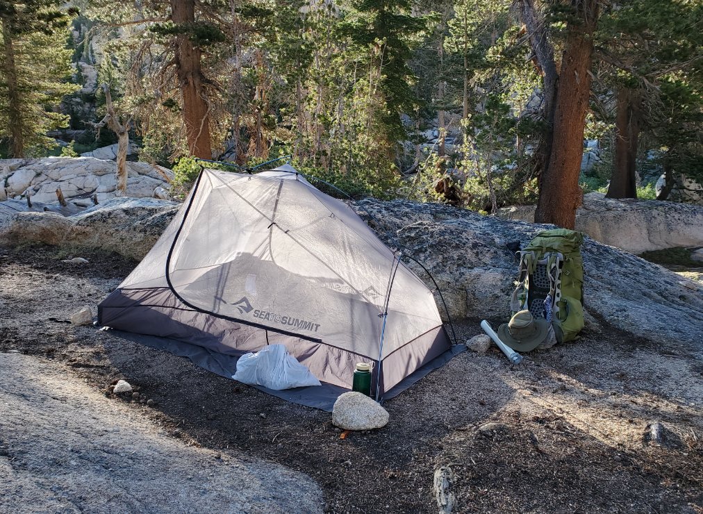
My home overnight seen in the
early morning while chowing down on some delicious breakfast pop tarts
and hot chocolate. |
 |
|
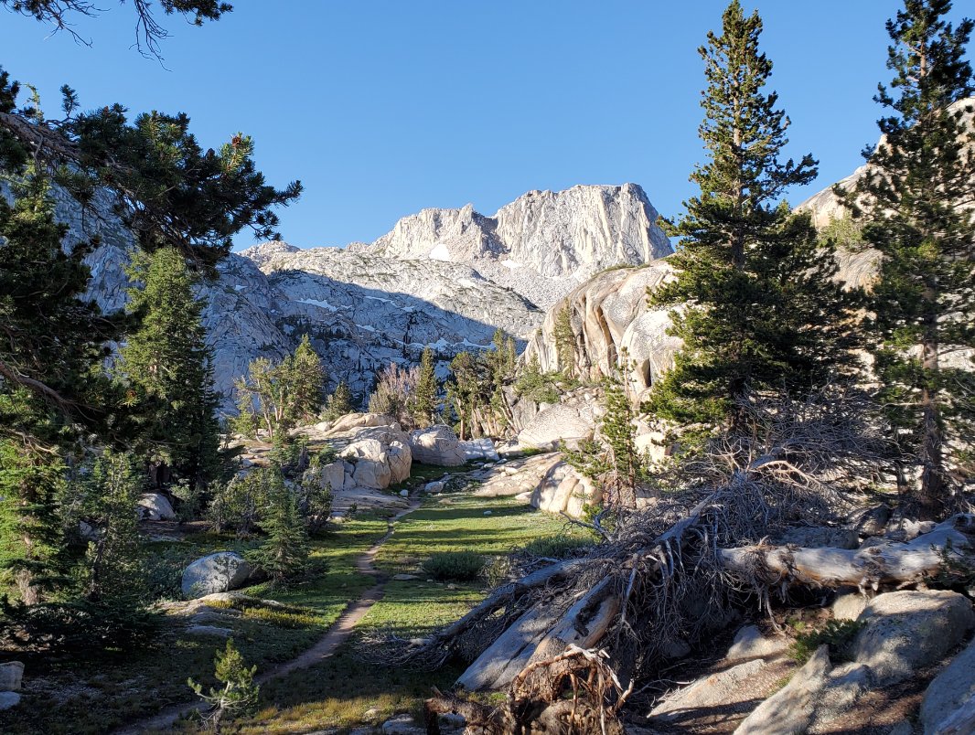
Right from the start of the
day we headed almost directly toward The Juggernaut on the far end of
Crown Lake.
|
 |
|
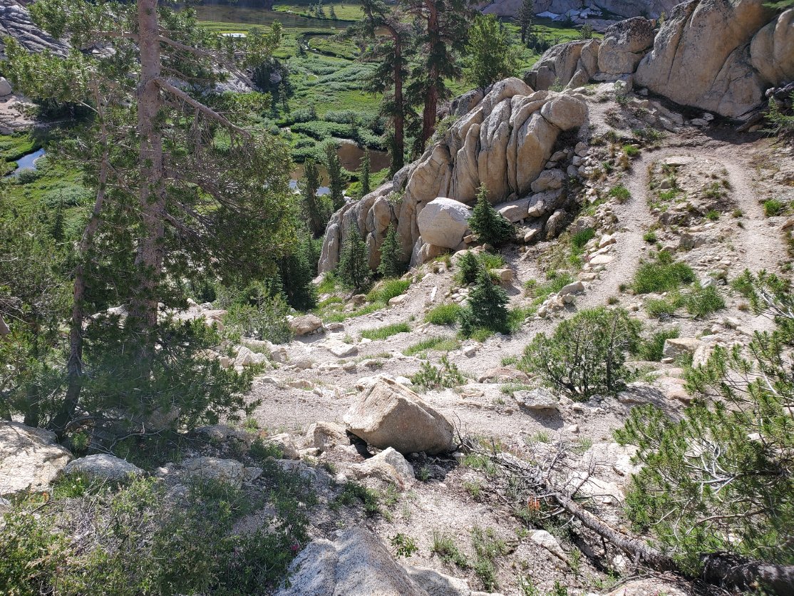
As promised, there was a lot
of early morning climbing, a continuation from the previous day's
efforts. |
 |
|
We were rewarded with some
nice views, such as this one of the Juggernaut completely unobstructed
just ahead of us. |
 |
|
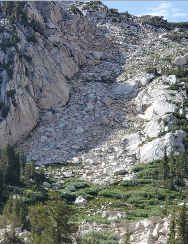
The
grueling climb toward Matterhorn Canyon can be made out in the rocks
across the way, and we ran into a solo traveller who had just come from
that area the night before. |
 |
|
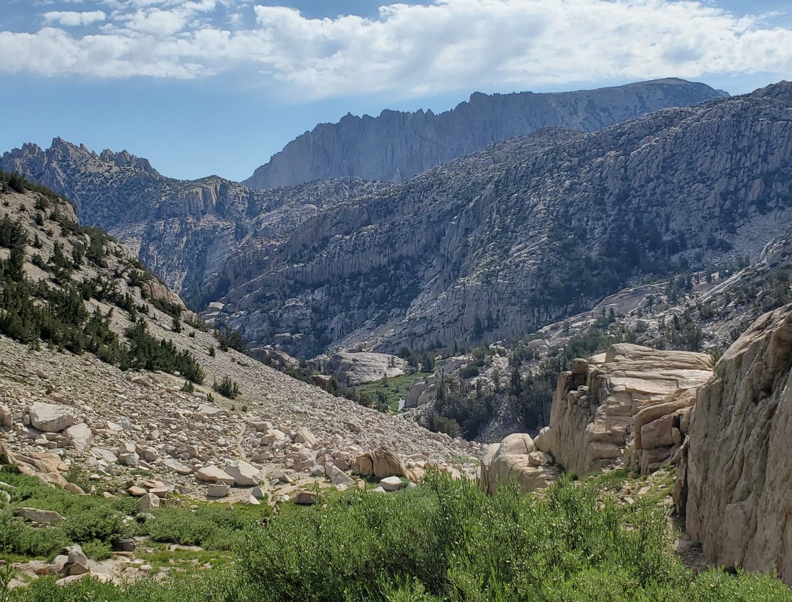
Looking
back we could see the canyon we climbed out of, as well as some of the
Sawtooth Ridge beyond that joins up with Matterhorn Peak further to the
east. |
 |
|
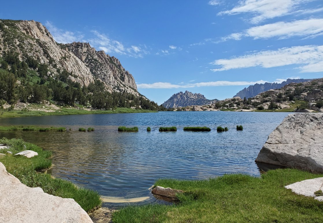
Snow Lake
was pretty amazing. This is from the south end looking
north,
and the way we came around the left side of the lake from this vantage
point.
|
 |
|
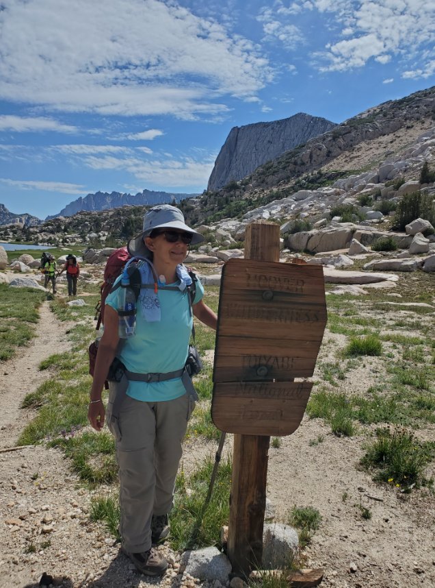
Here at Rock Island Pass we
had reached over 10K feet, the highest point along our trip. |
  |
|
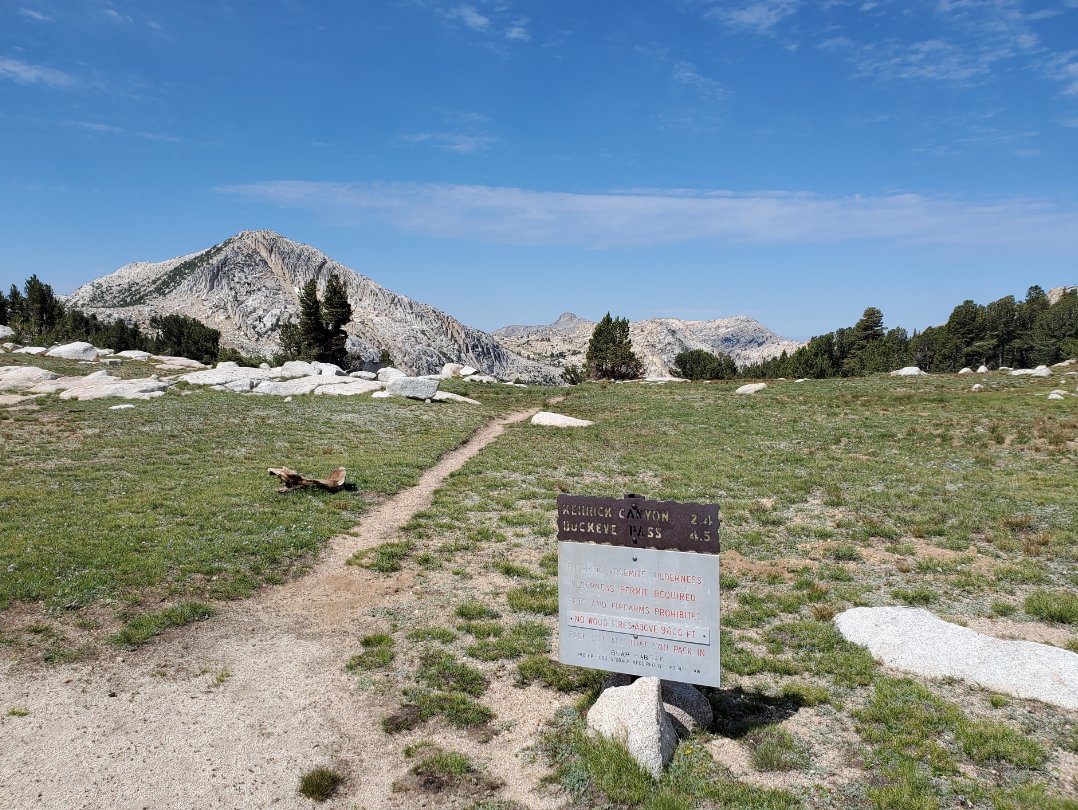
We didn't
have much company during our sojourn through Kerrick Meadow, and the
signs appear to have not had much company in a long while, either. |
 |
|
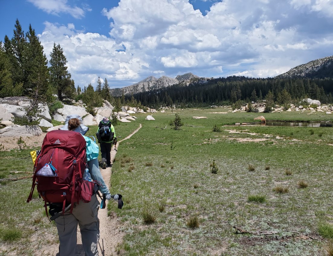
After the steep climbs over
the past day and a half we were happy with a few miles of flat.
|
 |
|
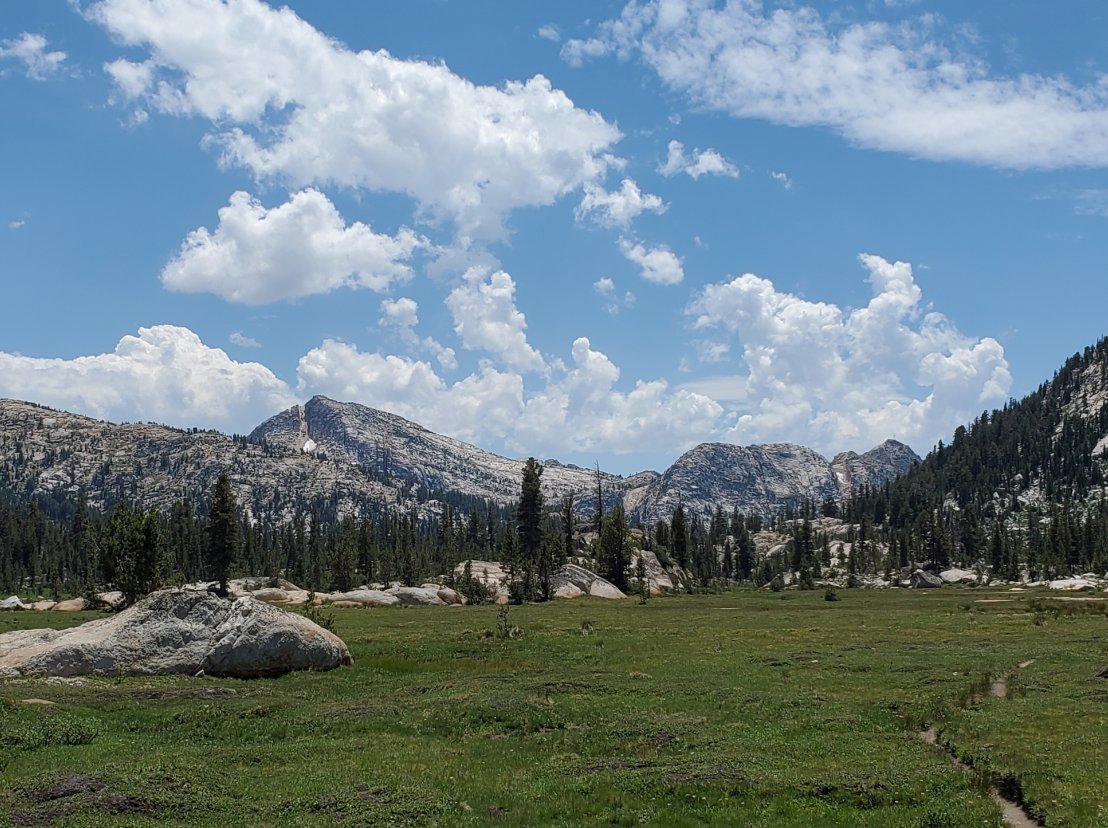
Looking south we had a grand
view of the area we had just traversed during the morning. |
 |
|
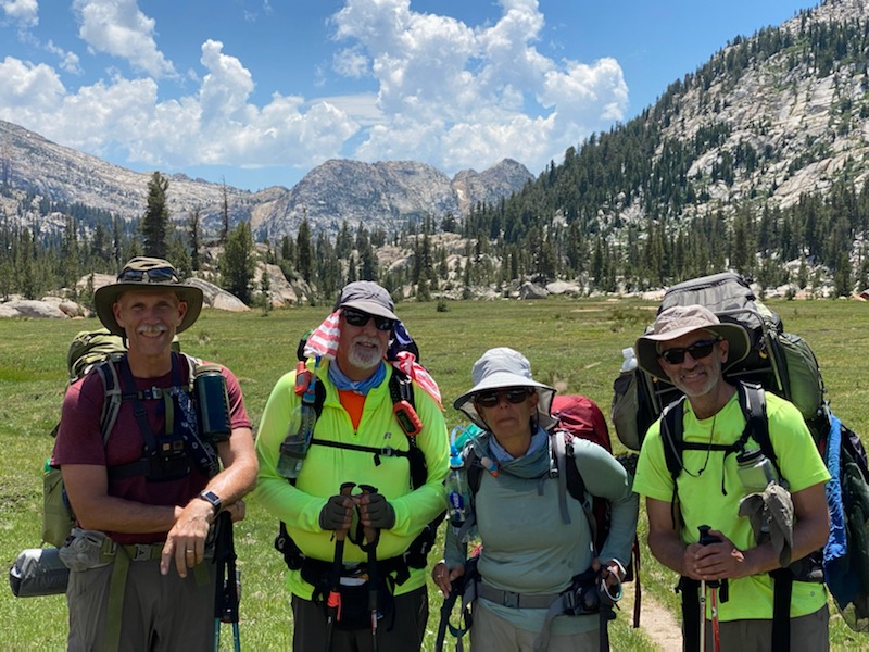
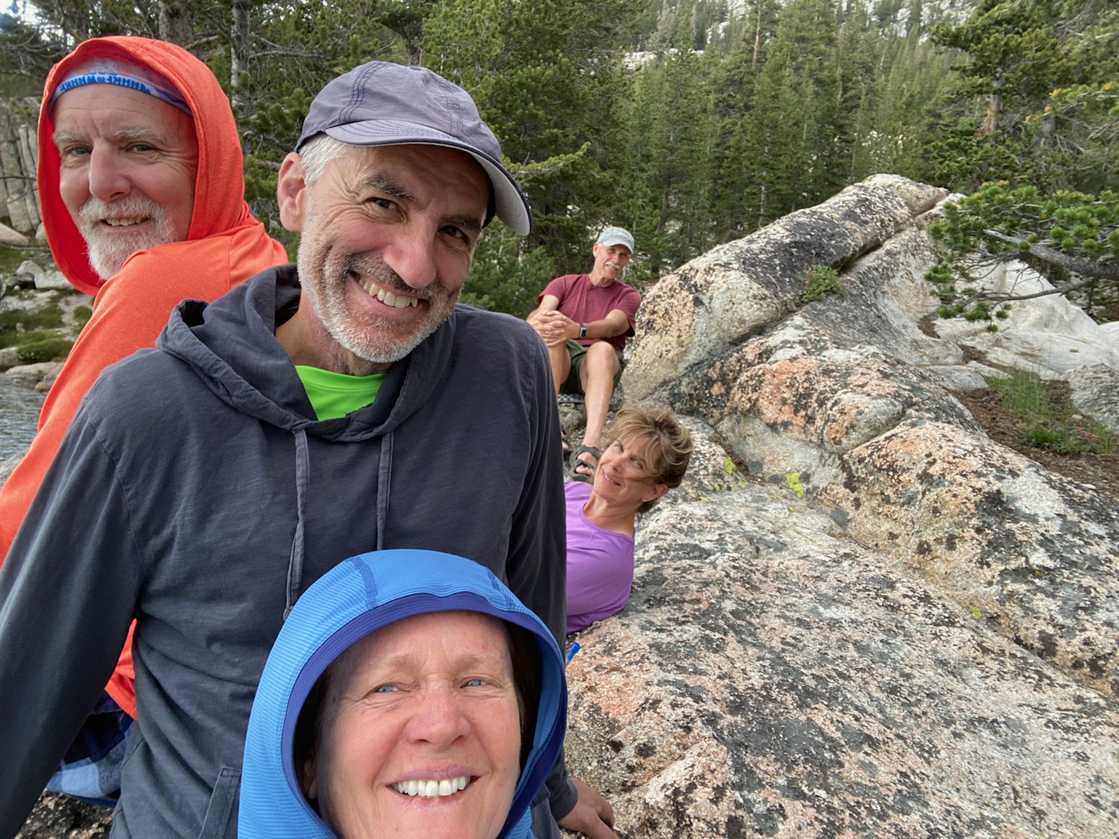
Of course, some of us had to
get in the way and ruin a perfectly good shot. |
 |
|
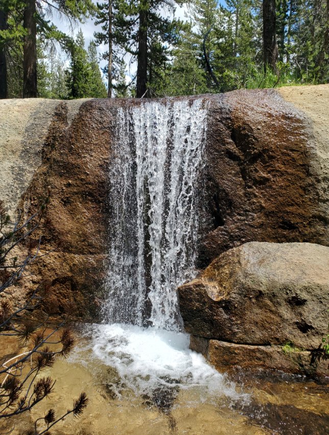
Heading
up toward Peeler Lake from the west side, we encountered this outlet
waterfall. Peeler is a unique lake in the sense that it has
outlets that flow both to the east and the west. |
 |
|
Our first view of Peeler Lake
from the west side with Crown Point Peak in the background towering
high above. |
 |
|
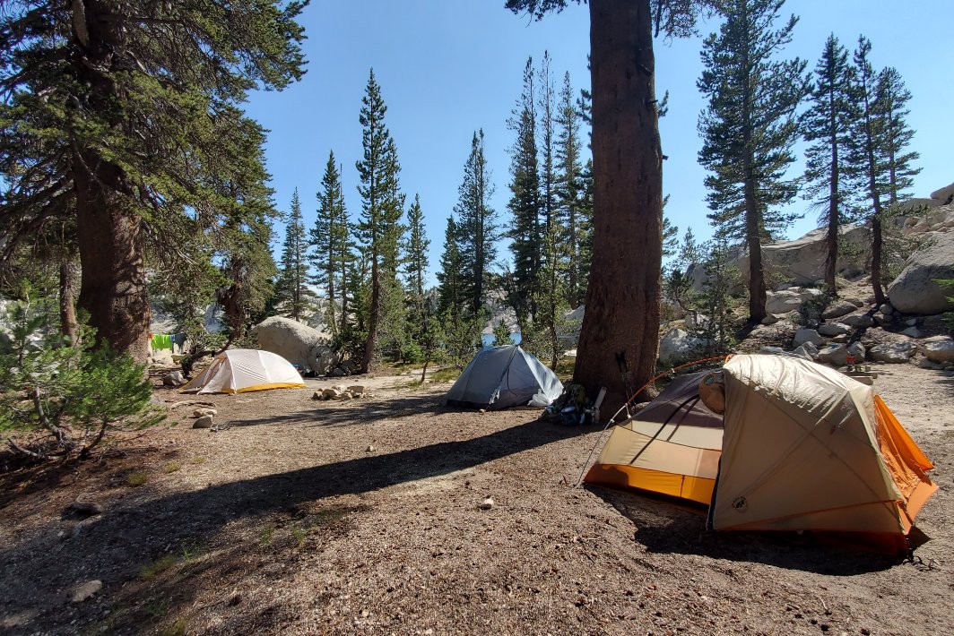
We made
good time on the day and actually got a prime campsite that ended up
having 3 other groups nearby by the time night came about. |
 |
|
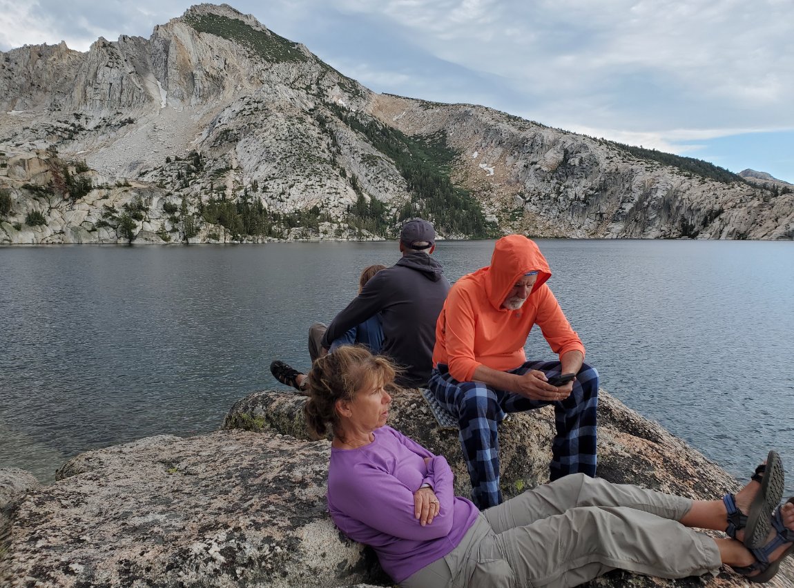
We all got to enjoy another
grand, but cool sunset at the lake. |
 |
|
Same group, different angle! |
 |
|
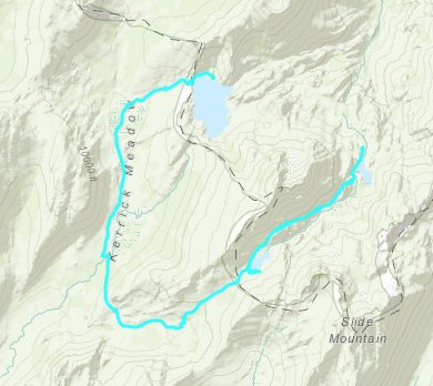
GPS Track
of the day's hike, in the middle right, heading up past Snow Lake and
Rock Island Pass, into Kerrick Meadow and then finishing up at Peeler
Lake. |
 |


 See
video of hike
 GPX
for
this trip


