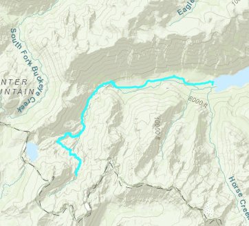
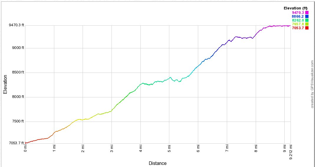
Distance: 9.2 Miles
Vertical Gain: 3200'
Group Size: 5
Hike Rating: Easy Moderate Hard Strenuous
 See
video of hike
 GPX
for
this trip
| Start Coordinates: | N 38 08.890, W 119 22.655 | End Coordinates: | Same as Start Coordinates |
||
| Car Shuttle Req'd: | No | Parking Directions: | Take Highway 395 to the Twin Lakes turnout just at the west edge of the town of Bridgeport. Follow this road for 13 1/2 miles until you pass the second of the two twin lakes and park in the designated area for backpackers. You will need to purchase a parking permit for backpacker parking which is good for 7 days. | ||
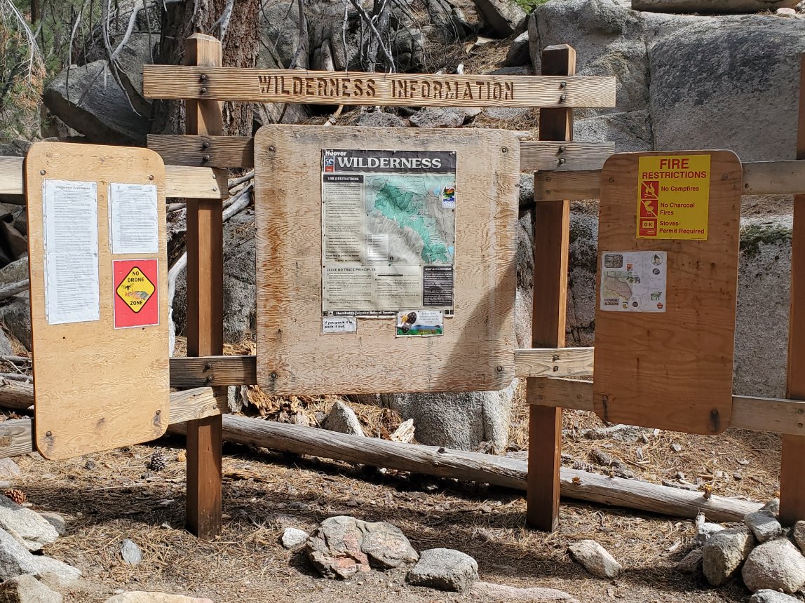
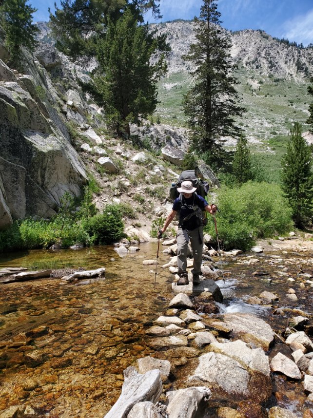
| Hazards of Note: | A backcountry wilderness pass is required for overnight camping in the Hoover Wilderness, as is a bear cannister for food storage. A couple of stream crossings, including one less than a mile past Barney which will require a boots-off crossing. Significant elevation gain if not acclimated to the high country. | Crowd Factor: | High then Moderate. The trail section from the Twin Lakes resort to Barney Lake is a very popular hike due to the spectacular scenery at Barney. Past this point you will see far less people as it ibecomes a very steep climb toward Crown Lake. | ||
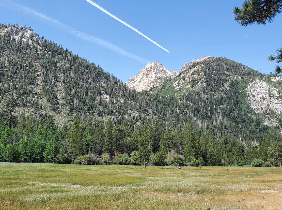
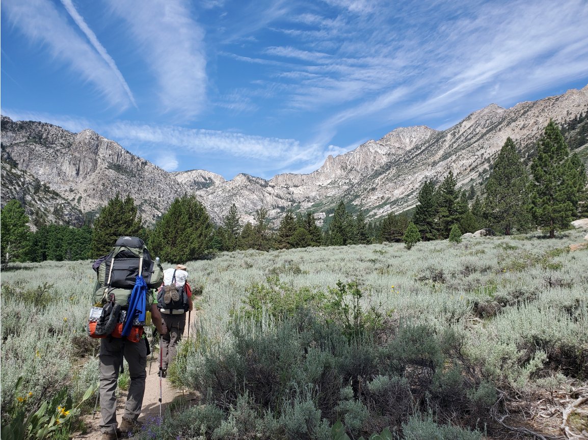
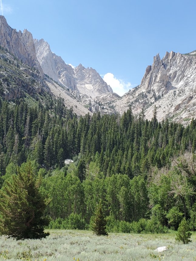
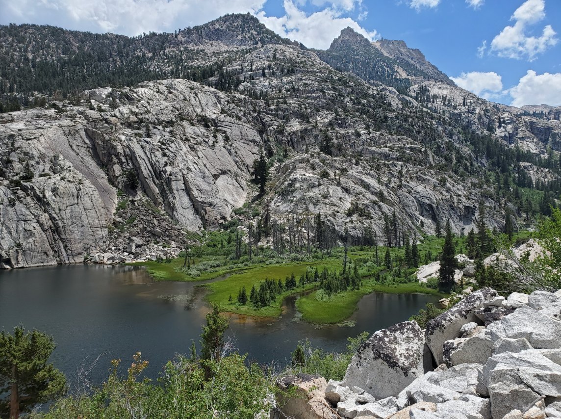
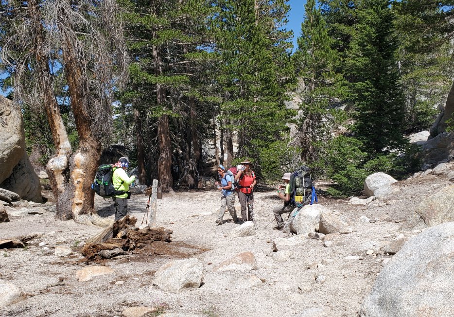
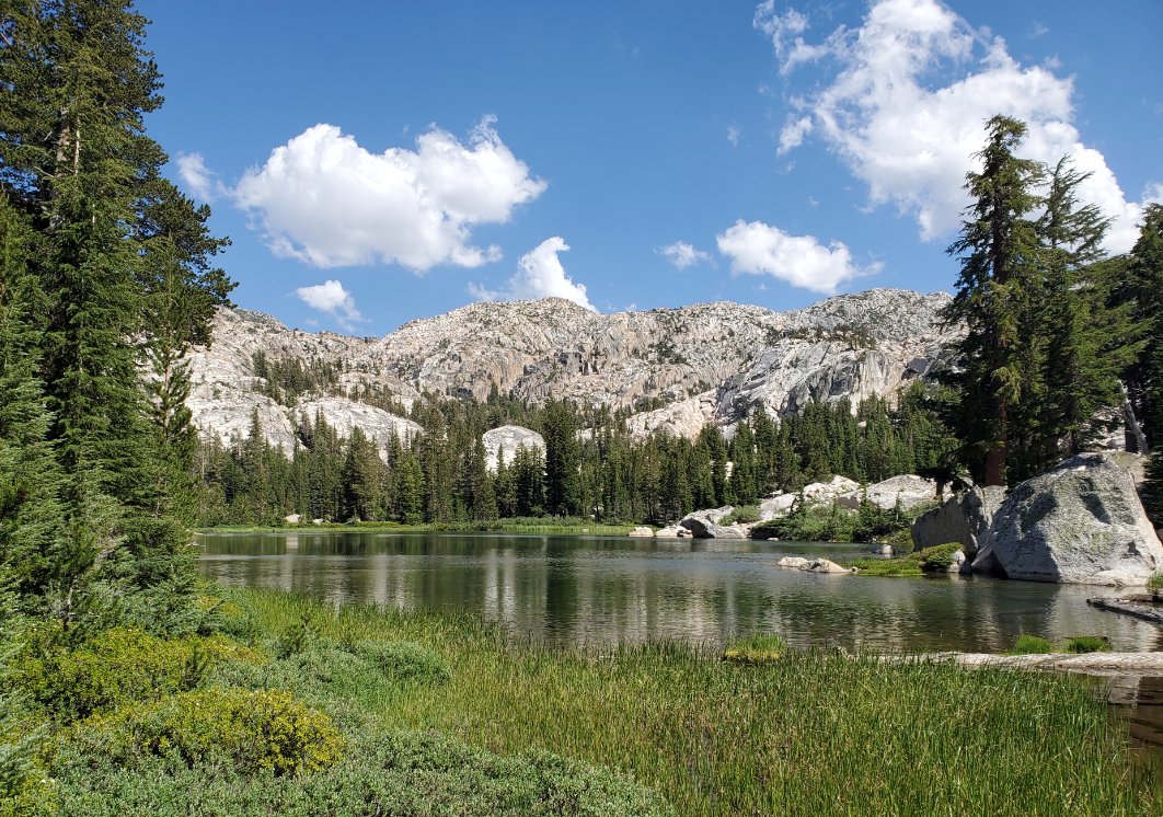
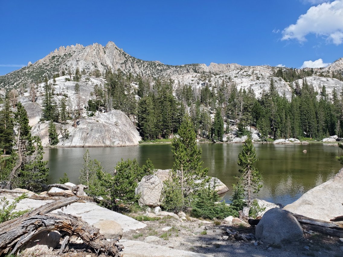
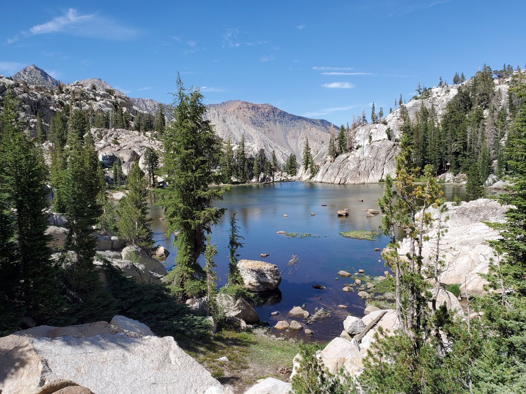
| General Notes: From the Twin Lakes resort area, head almost directly due west through the RV campground, and you should spot a small wooden sign pointing you to Barney Lake up ahead. At the end of the camp is a wire between a couple large trees, to keep vehicles from passing beyond here. There is a large open meadow to your left as you head up this trail. From here, following the sign to the right for Barney Lake, and do not cross over the bridge or you will be headed the wrong direction. Once you enter the signed Hoover Wilderness area, the trail will gain elevation gradually, passing through a couple stands of aspen trees before after about 1 and 3/4 miles you begin to head up some switchbacks. The trail will begin to bend to the south as you climb, with the spire of Cirque Mountain above you to the west. Reaching Barney lake you will immediately take in a stunning vista, looking south with the towering Crown Point peak directly past the lake. Get there early enough on a windless day and you will have a spectacular reflection of the mountains in the water. At the lake you will then continue on the trail to the east, gradually gaining some altitude before dropping back down to cross the inlet (Robinson Creek) to Barney Lake. Once past this and one additional stream crossing not far past, you will begin a serious climb for the new few miles that will feel relentless, especially with a full pack. After a couple miles you will reach a junction with Peeler Lake to the right and the Robinson Lakes to the left. Take this trail to the left. Within about 1/2 a mile you will pass a couple spectacular turquoise pools, and then you will pass the first Robinson Lake. The trail then continues on a narrow strip between the first and second lake, and then one more climb will have you at Crown Lake, and the destination for the first night. |
|||||
