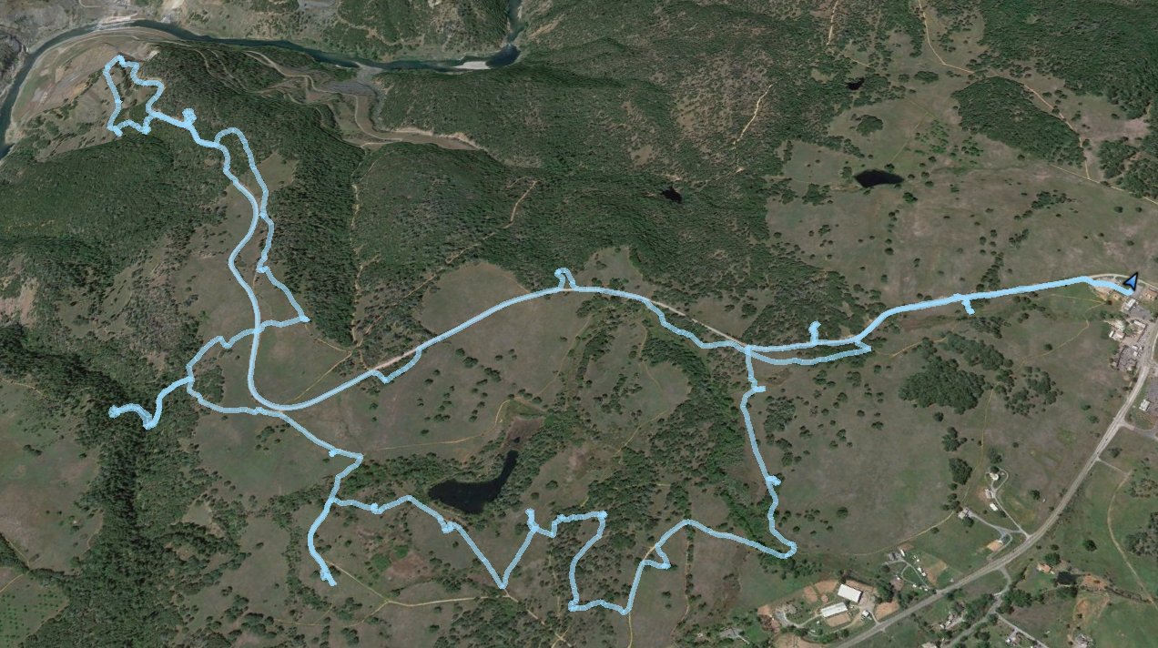
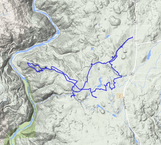
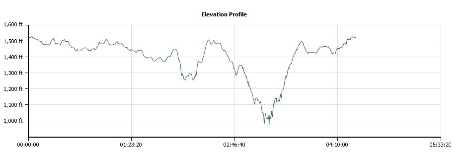
Distance: 9.0 Miles
Vertical Gain: 1100'
Group Size: 1
Hike Rating: Easy Moderate Hard Strenuous
 GPX for
this trip
GPX for
this trip
| Start Coordinates: | N 38 53.346, W 121 01.029 | End Coordinates: | Same as Start Coordinates | ||
| Car Shuttle Req'd: | No | Parking Directions: | Take Highway 49 to the town of Cool. Just north of the stoplight is the fire station on the west side of the highway. Turn east on the road here and park in the Auburn State Recreation Area parking ($10 fee as of 2014.) | ||
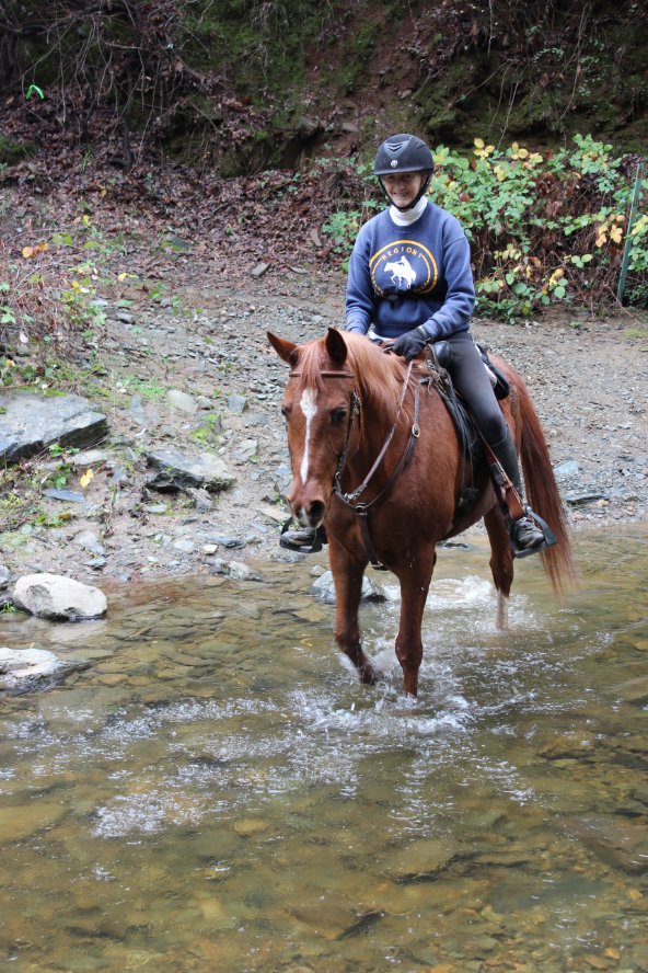
| Hazards of Note: | Rattlesnakes, ticks, mountain lions. | Crowd Factor: | Moderate at the trailhead, with less people as you get further toward the river. There are many equestrian riders here, as well as a few trail runners. | ||
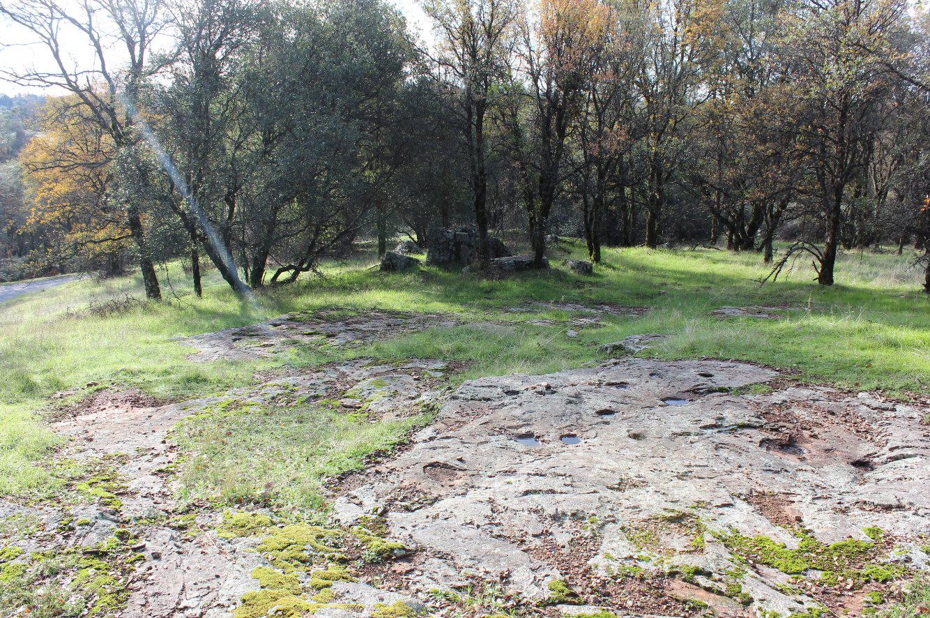
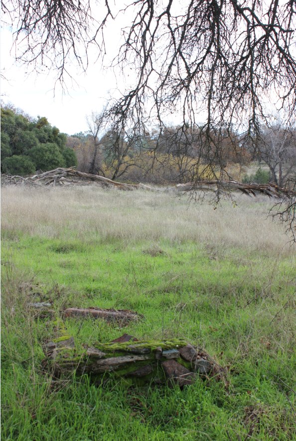
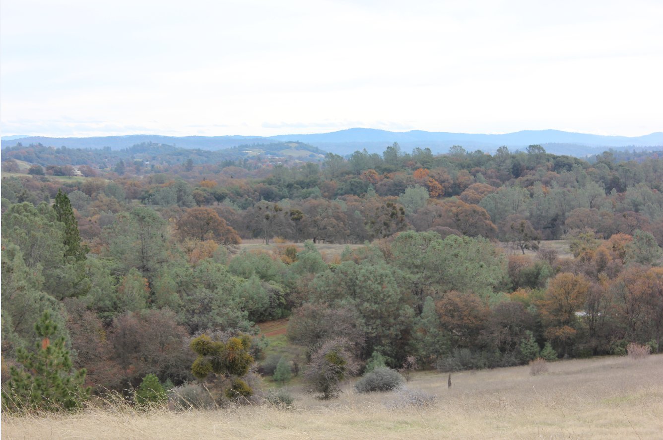
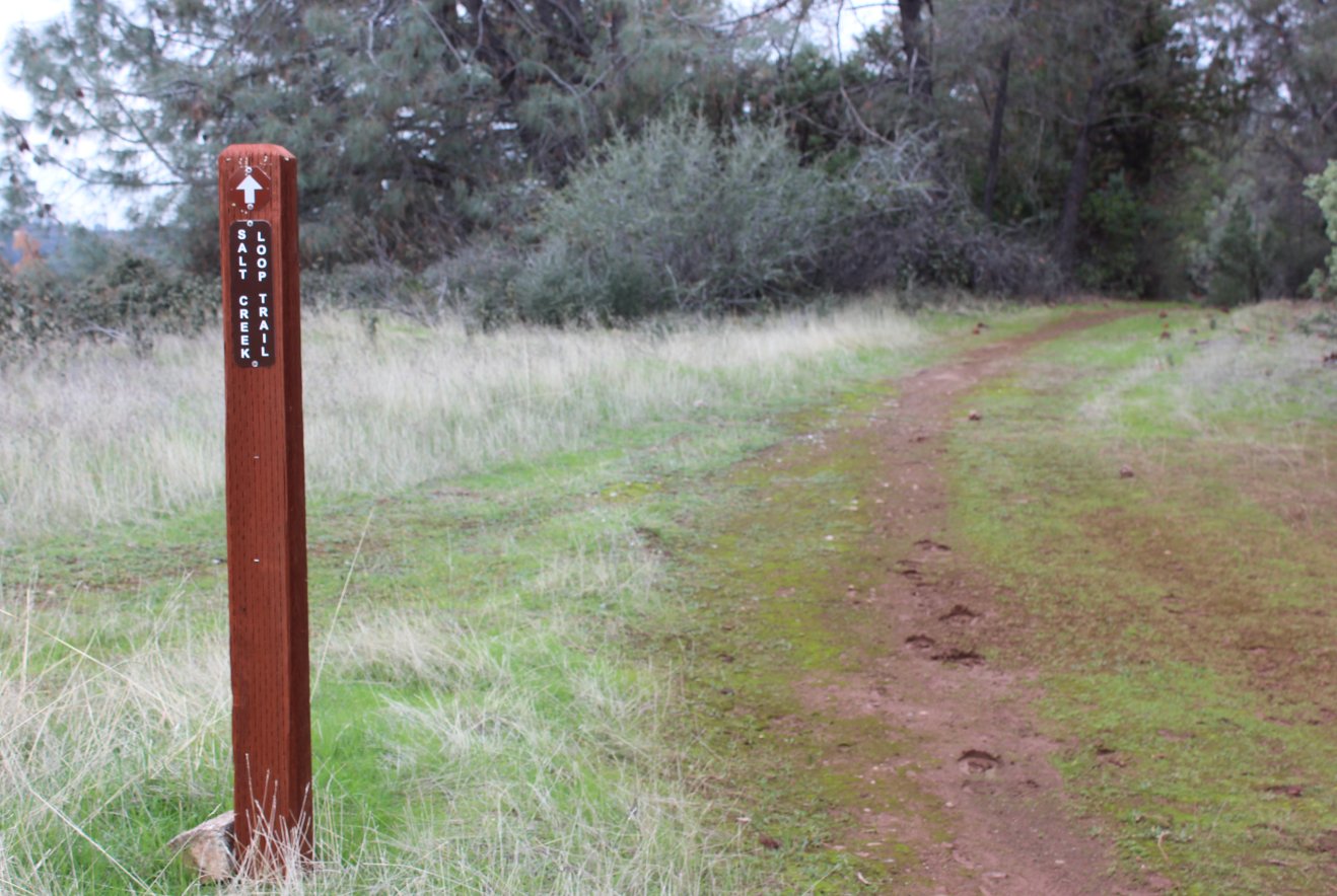
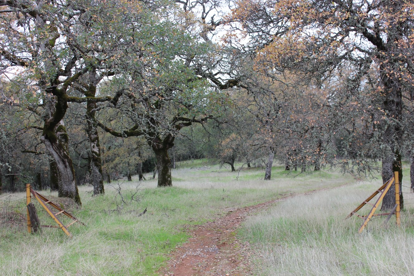
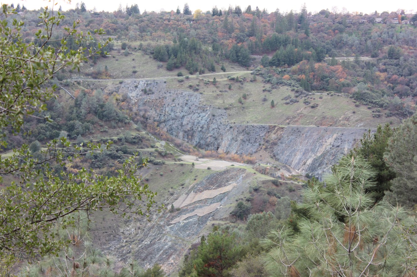
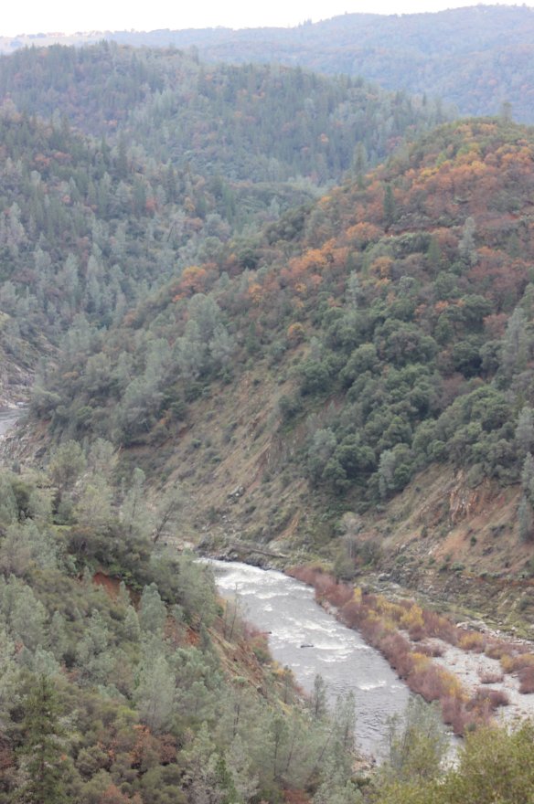
| General Notes: The hike is mostly along relatively flat sections of the rolling hills just outside of the town of Cool. As you get closer to the river, there is a pretty steep drop down to near the level of the water. Much of the trail is criss-crossed by seasonal streams, which can be refreshing or just plain boggy or muddy after a recent rain. This is prime rattlesnake territory, so always be careful of where to walk or place your hands. Avoid walking through tall grasses due to ticks in the foothills as well. |
|||||