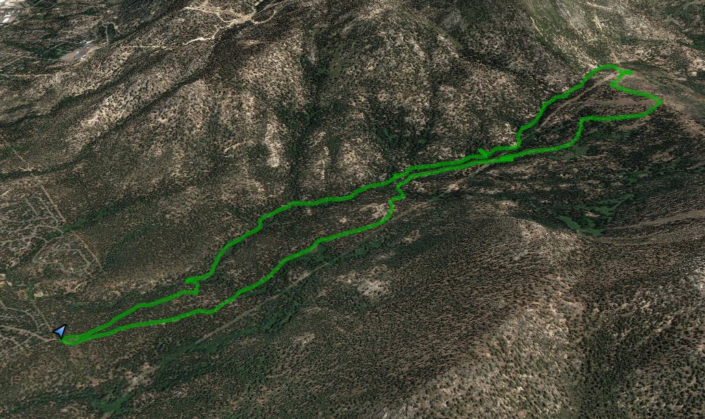
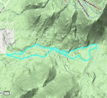
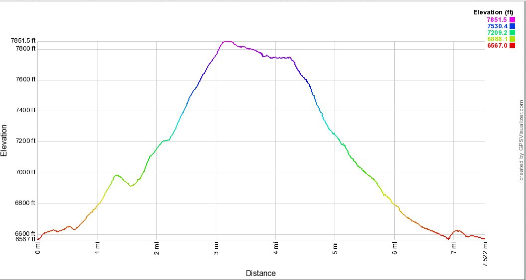
Distance: 7.5 Miles
Vertical Gain: 1200'
Group Size: 2
Hike Rating: Easy Moderate Hard Strenuous
 GPX
for
this trip
GPX
for
this trip
| Start Coordinates: | N 38 53.869' W 119 57.423' | End Coordinates: | Same as Start Coordinates | ||
| Car Shuttle Req'd: | No | Parking Directions: | Take Highway 50 toward South Lake Tahoe. Turn onto Pioneer Trail, and then turn onto High Meadow Trail just east of Sierra House Elementary School. Follow this road about 1/2 mile to the trailhead parking area. | ||
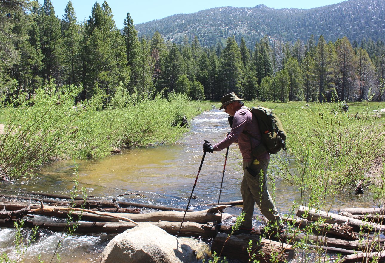
| Hazards of Note: | Water crossing at the halfway point if you want to make this a loop. | Crowd Factor: | Moderate to High. This is a popular area for mountain biking and local dog walkers. | ||
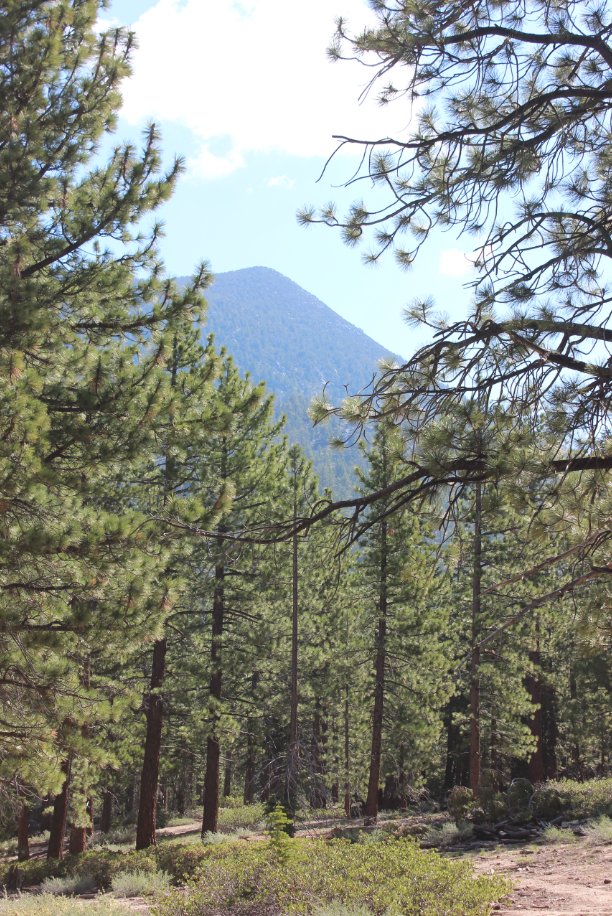
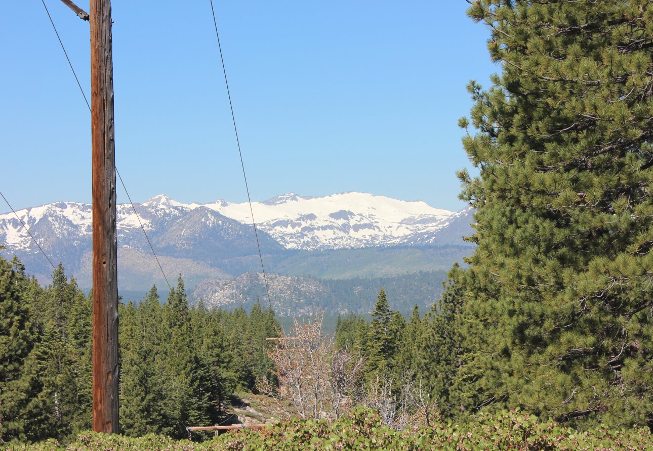
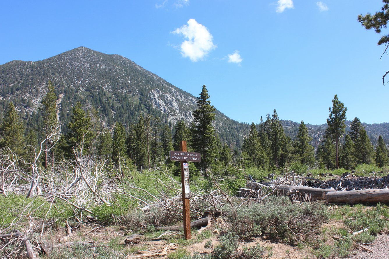
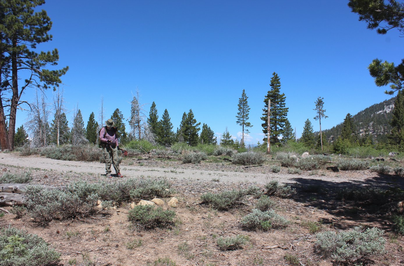
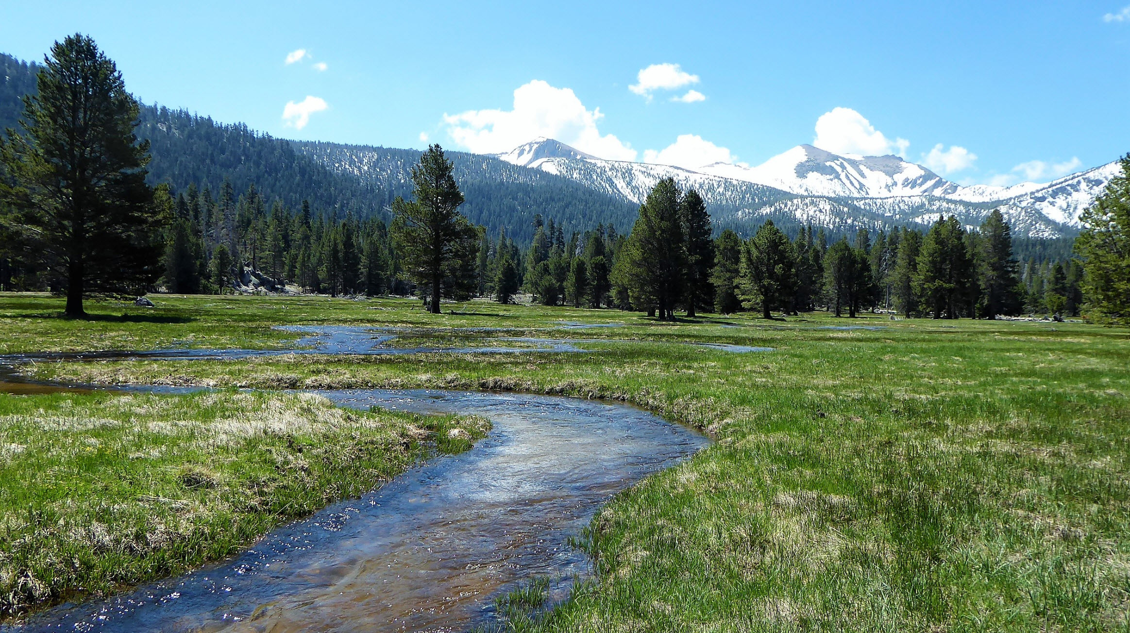
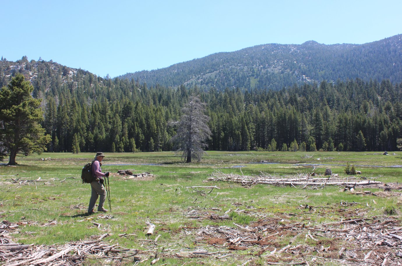
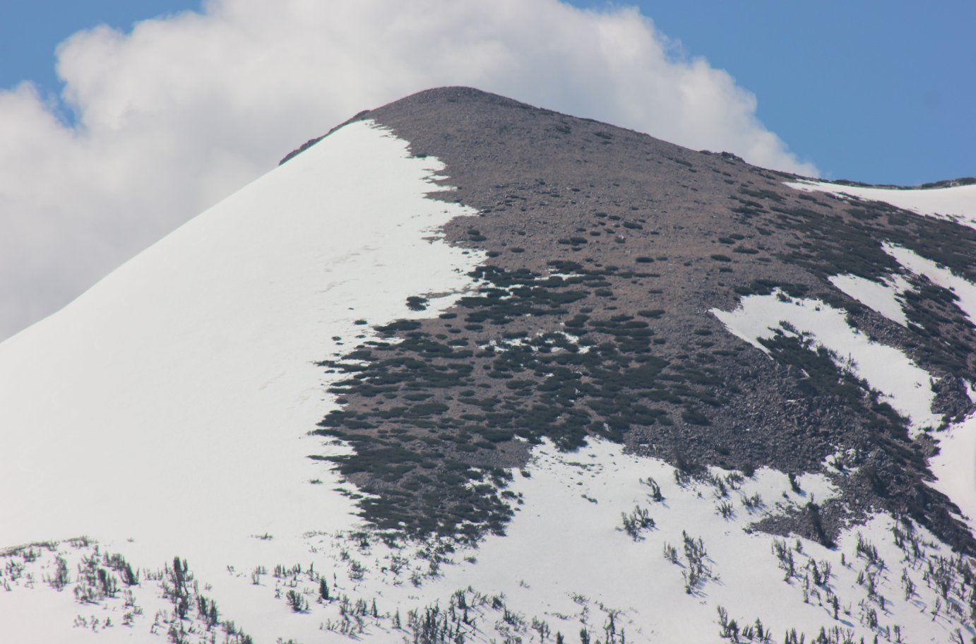
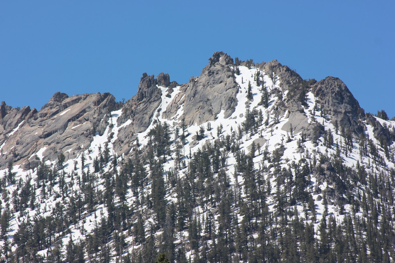
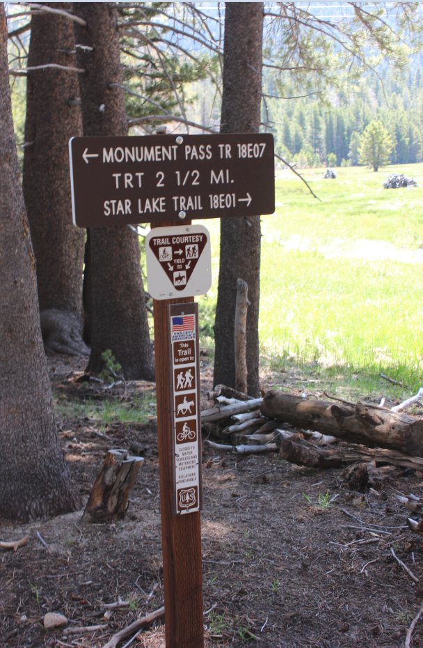
| General Notes: From the parking area, head up the dirt road until you reach the signed trailhead for the High Meadow Trail. It is possible to actually park at this location if you have 4WD or a high clearance vehicle when the ground is not wet. Follow the dirt road for about 2 1/2 miles from this point as it heads upward, and you will gain over 1000' of elevation during this stretch. Most of this section is in the forest on the road, and doesn't offer much other than some views back to the west of the Desolation Wilderness mountains in the distance. The clearing through the trees is where the powerlines which help supply Heavenly Valley ski resort are cut through, so the views are obstructed somewhat by these lines. When you reach the halfway point of the hike at High Meadow, you will be treated with spectacular views south toward Freel Peak and Job's Sister, as well as a rocky ridgeline heading north from that area to the west of the meadow. Cross over the water which comes through the meadow and head back down the Cold Creek Trail, avoiding the many bikers that you will probably meet on the way. |
|||||