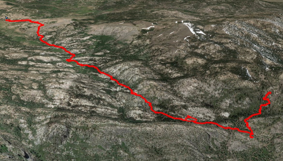
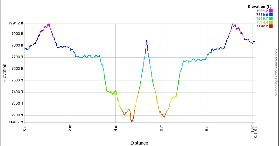
Distance: 11.0 Miles
Vertical Gain: 800'
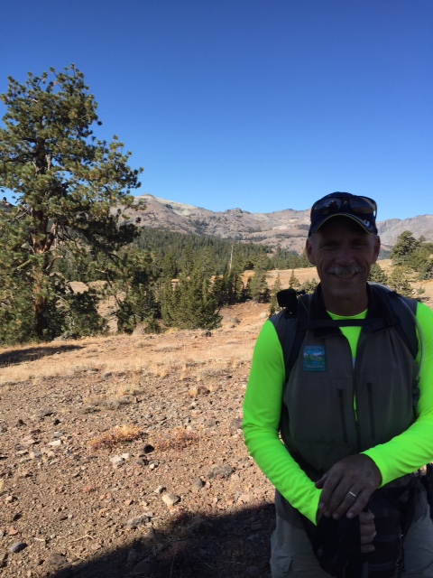
Group Size: 3
Hike Rating: Easy Moderate Hard Strenuous
 See
video of hike
See
video of hike
 GPX
for
this trip
GPX
for
this trip
| Start Coordinates: | N 38 40.099, W 119 55.062 | End Coordinates: | Same as Start Coordinates | ||
| Car Shuttle Req'd: | No | Parking Directions: | Take Highway 88 to the Blue Lakes Road. Turn south on Blue Lakes Road, which is just to the west of Pickett's Junction. Go south on Blue Lakes road 6.5 miles to a small turnout on the east side of the road where there is room for 3 to 4 cars to park off the road. The actual trailhead is approximately 3/10 of a mile back north on the road, but parking any closer might be harder to find. | ||
| Hazards of Note: | A relatively unknown/unused
trail has a number of sections requiring following cairns to stay on
the trail. |
Crowd Factor: | Minimal. This is a remote area trail which is relatively unknown, and the chances of running into anyone on either the west side of the Charity Valley trail or even sections of the Burnside Lake trail are remote. | ||
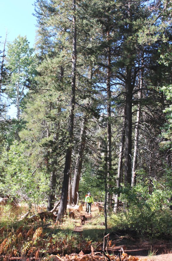
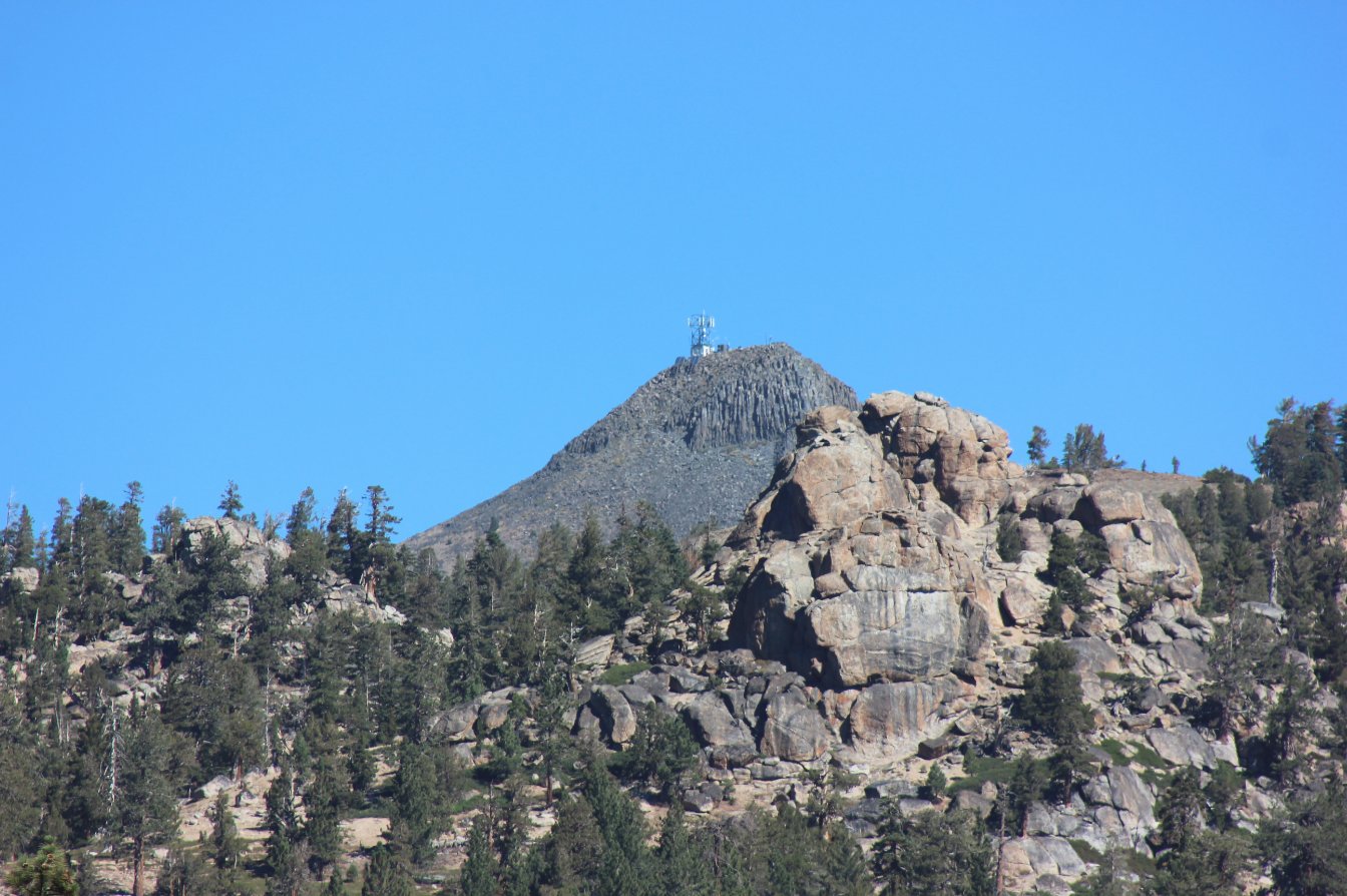
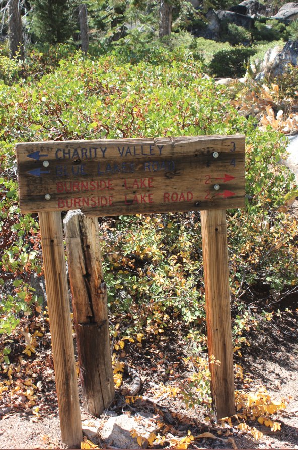
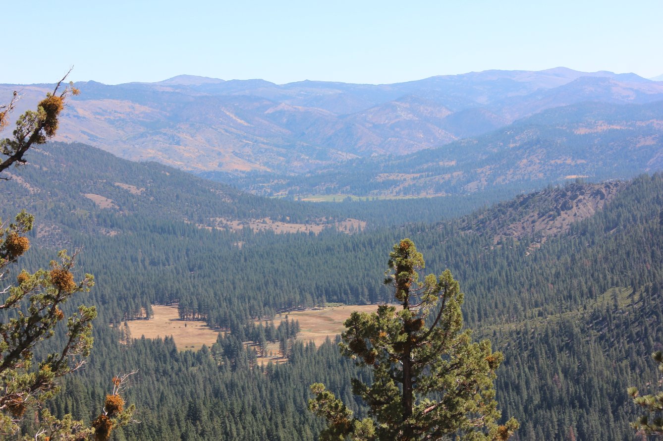
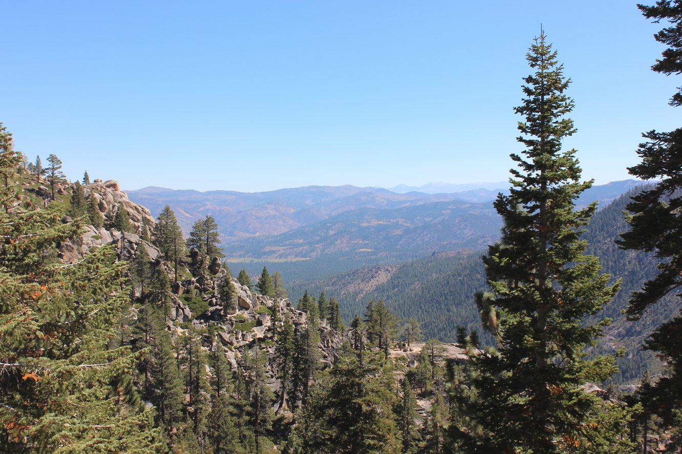
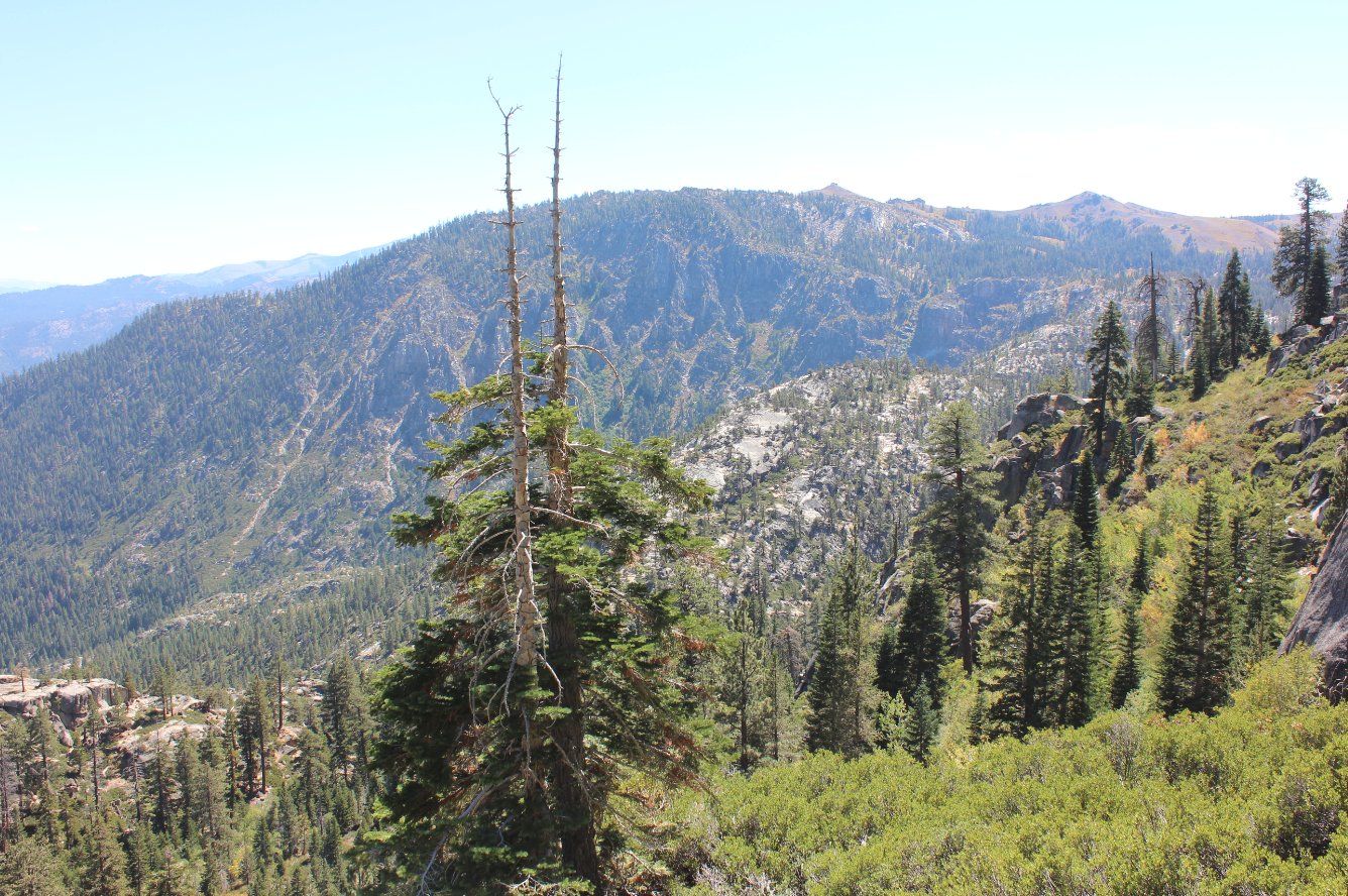
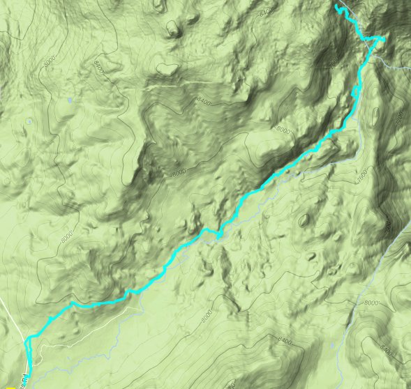
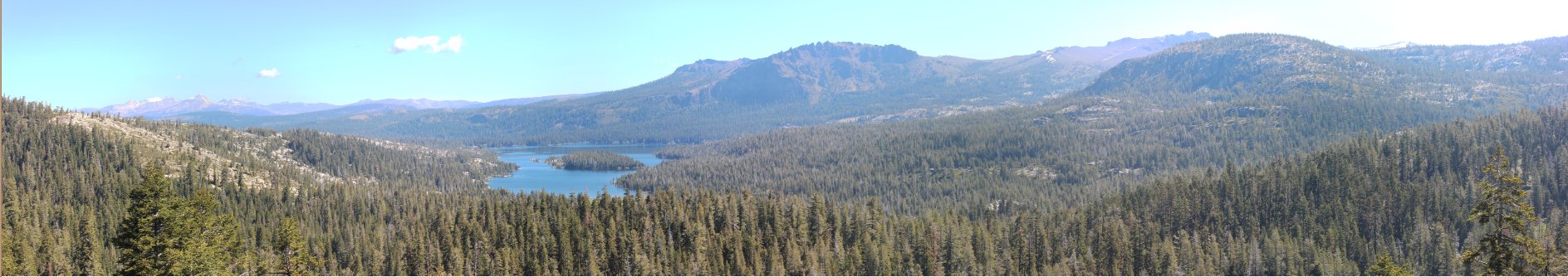
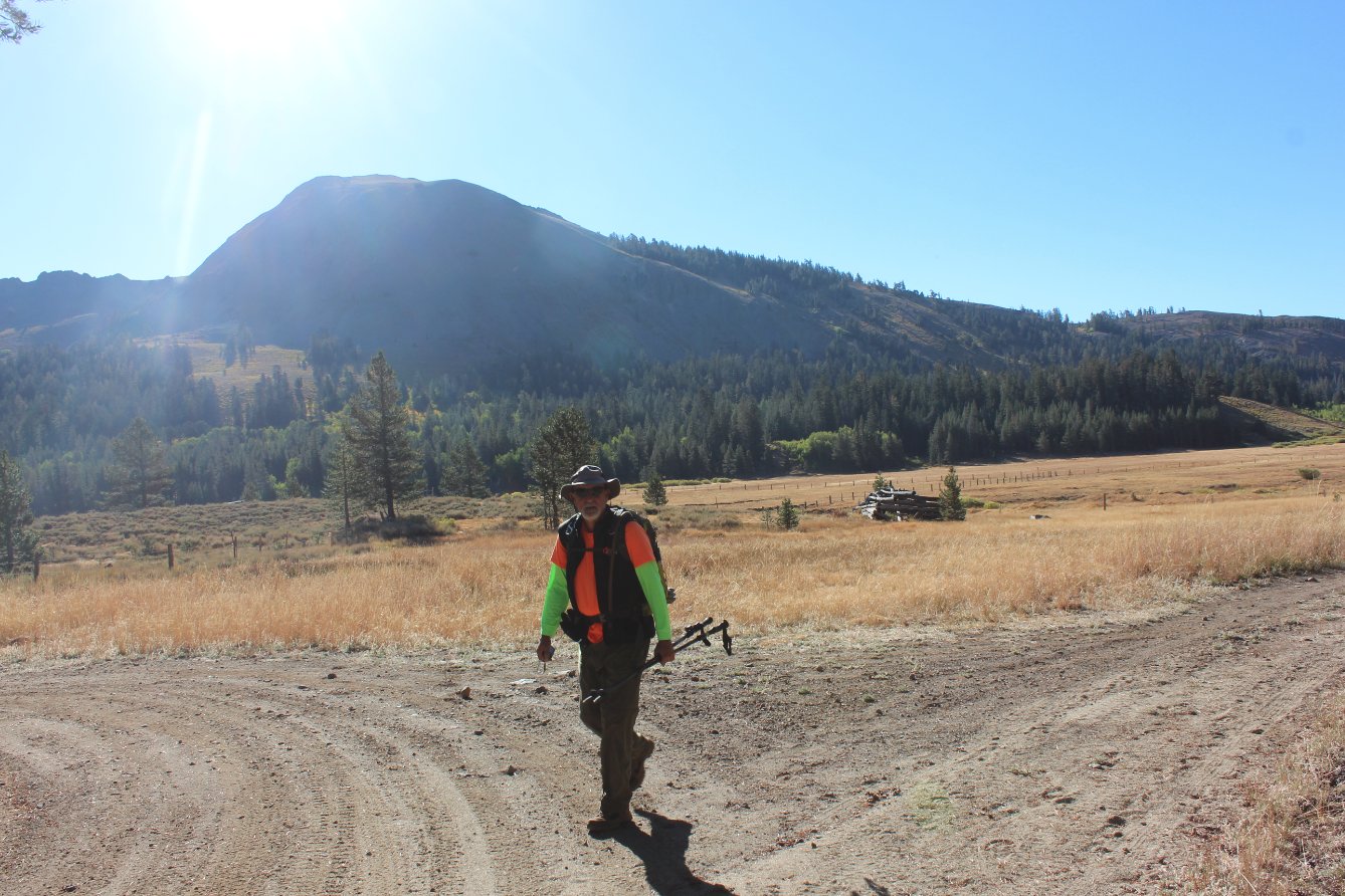
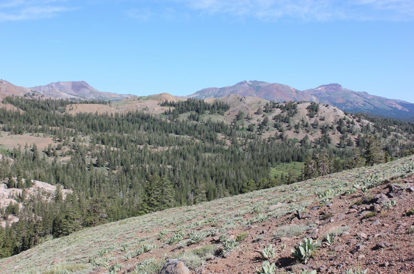
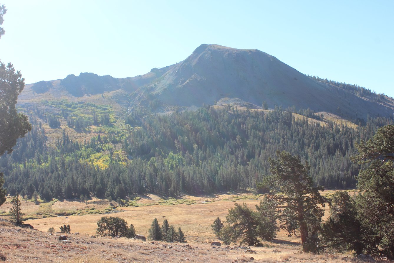
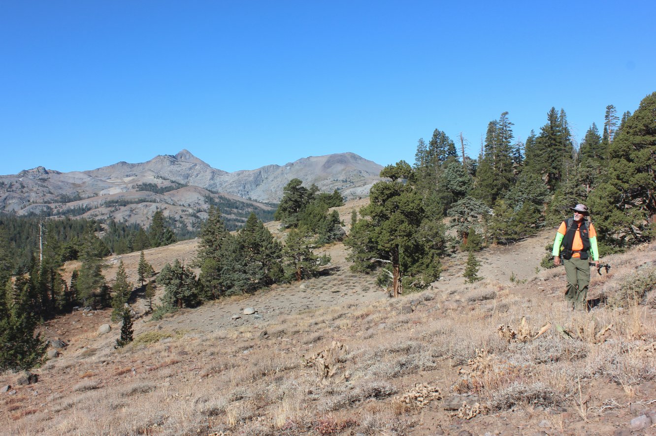
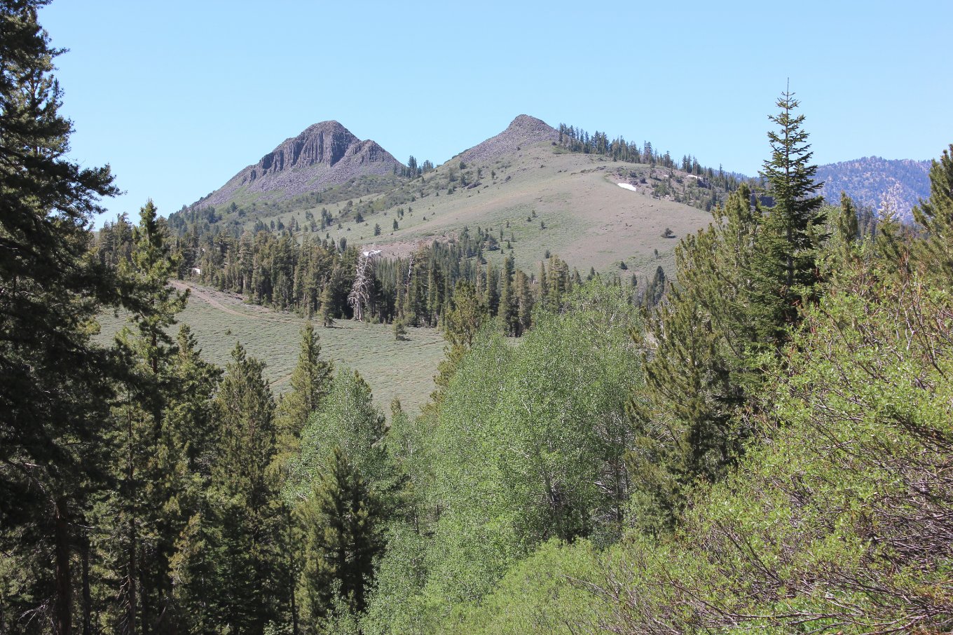
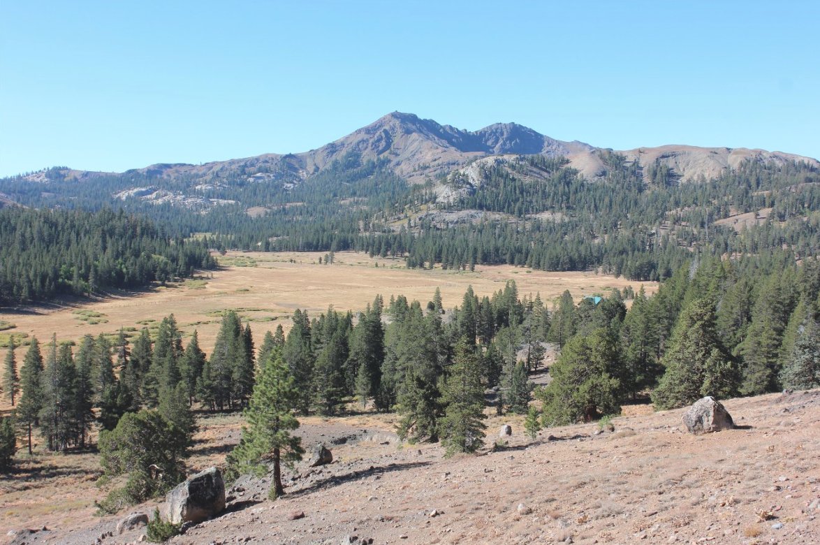
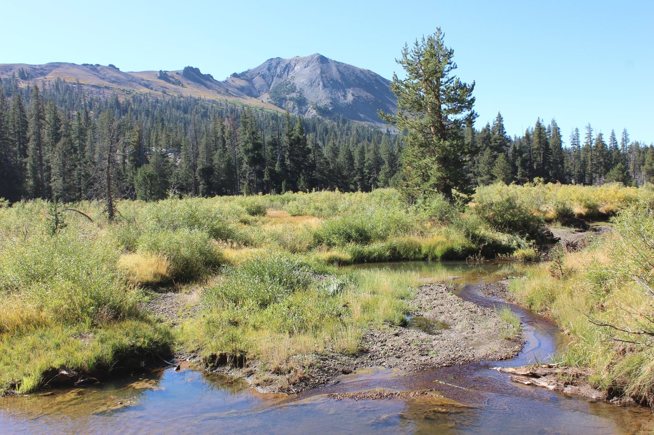
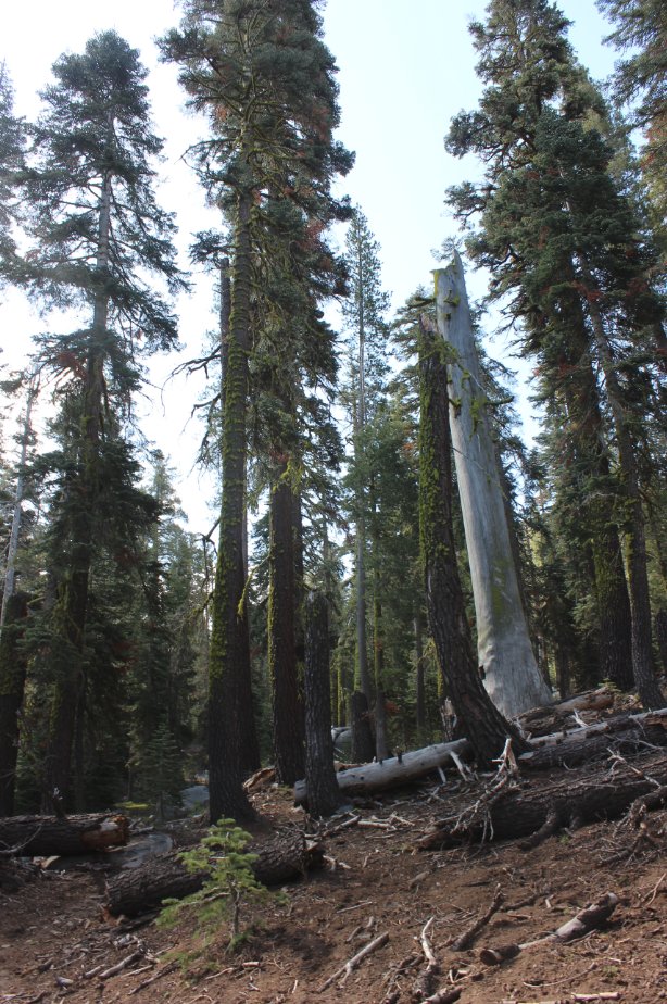
| General Notes: From the parking area, head north on the road, or you can find a small use trail just to the west of the private property fence markers which are a safer way to find the actual trail 3/10 of a mile north of the parking area. The Charity Valley trail immediately heads off to the east, offering pretty spectacular views of the north side of Markleeville Peak and Charity Valley as you gradually climb up in elevation over the first mile. After this first mile, the trail then heads down and follows along Charity Creek for the next couple miles. Even in the late summer there was a good amount of water running in this river, making it suitable with a filter as a water source for most of the duration of the trip. Nearly four miles into the hike the trail begins to drop elevation quickly, something which will have to be climbed back up on the way out if not doing this as a point to point hike. At the junction for the Burnside Lake trail, there is a fantastic overlook of Grover State Park and the Hot Springs area to the east, which shouldn't be missed. On our trek we headed up the Burnside Lake trail for a little over 1/2 mile, which is even less maintained than the Charity Valley trail and climbed over 700 feet in that short span. However, the views get better and better as you gain elevation and make the exertion worth it. |
|||||