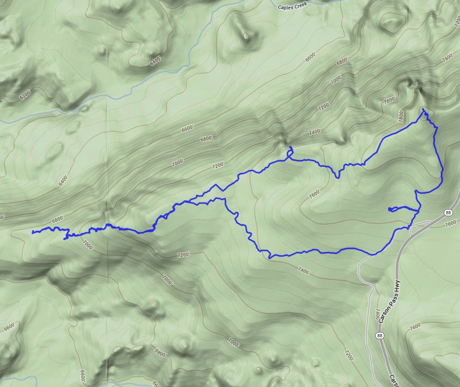
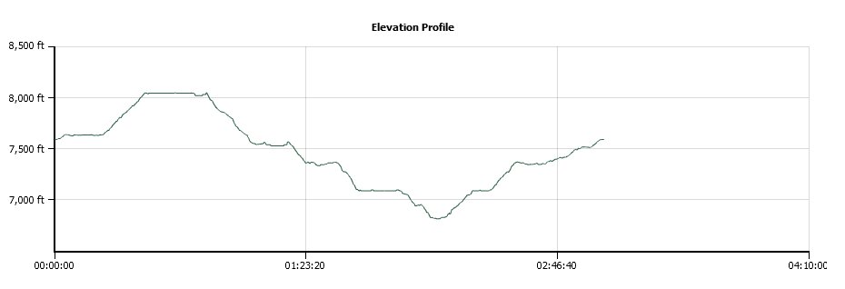
Distance: 6.2 Miles
Vertical Gain: 1200'
Group Size: 1
Hike Rating: Easy Moderate Hard Strenuous
 GPX for
this trip
| Start Coordinates: | N 38 41.800 W 120 07.288 | End Coordinates: | Same as Start Coordinates | ||
| Car Shuttle Req'd: | No | Parking Directions: | Take Highway 88 east of Silver Lake to the trailhead parking just off the north side of the road, almost exactly one mile west of the Thunder Mountain trailhead parking area. This is a campsite location, so park somewhere away from designated camping locations. | ||
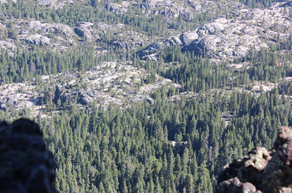
| Hazards of Note: | Exposed cliffs to the north
near Castle Point. |
Crowd Factor: | Negligible. This is a mostly cross-country hike, but even the trail which will head down to pick up the Silver Fork Trail from highway 88 is lightly used. | ||
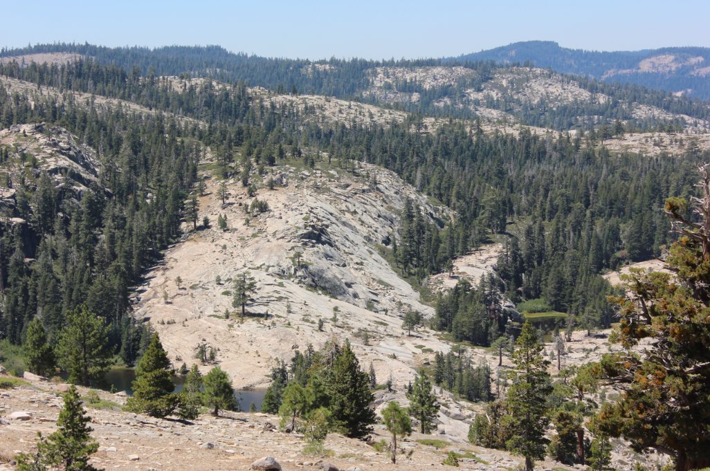
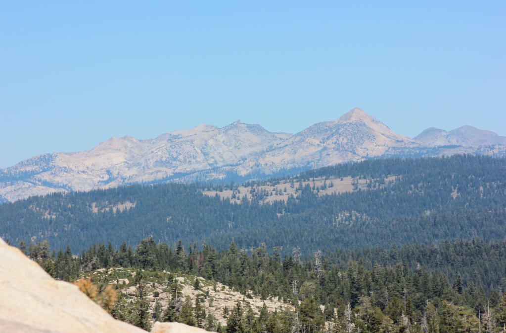
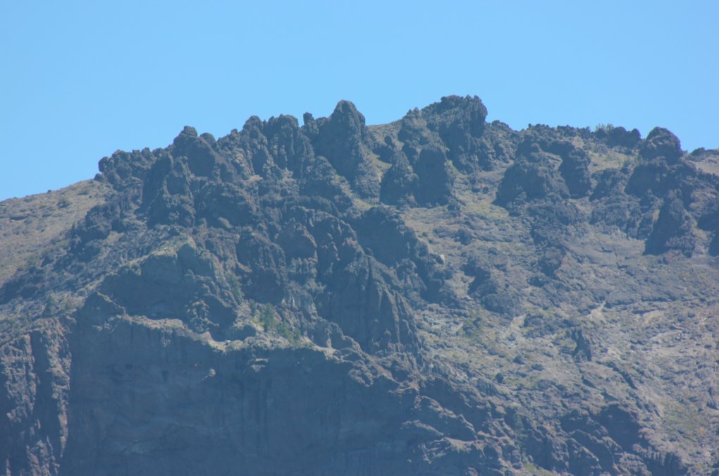
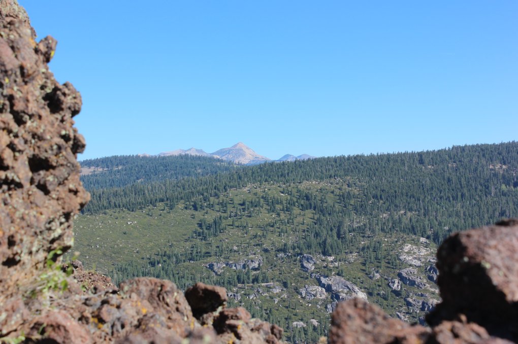
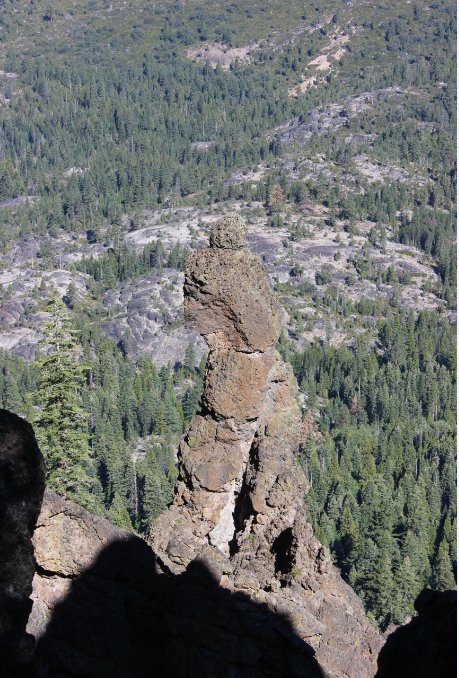
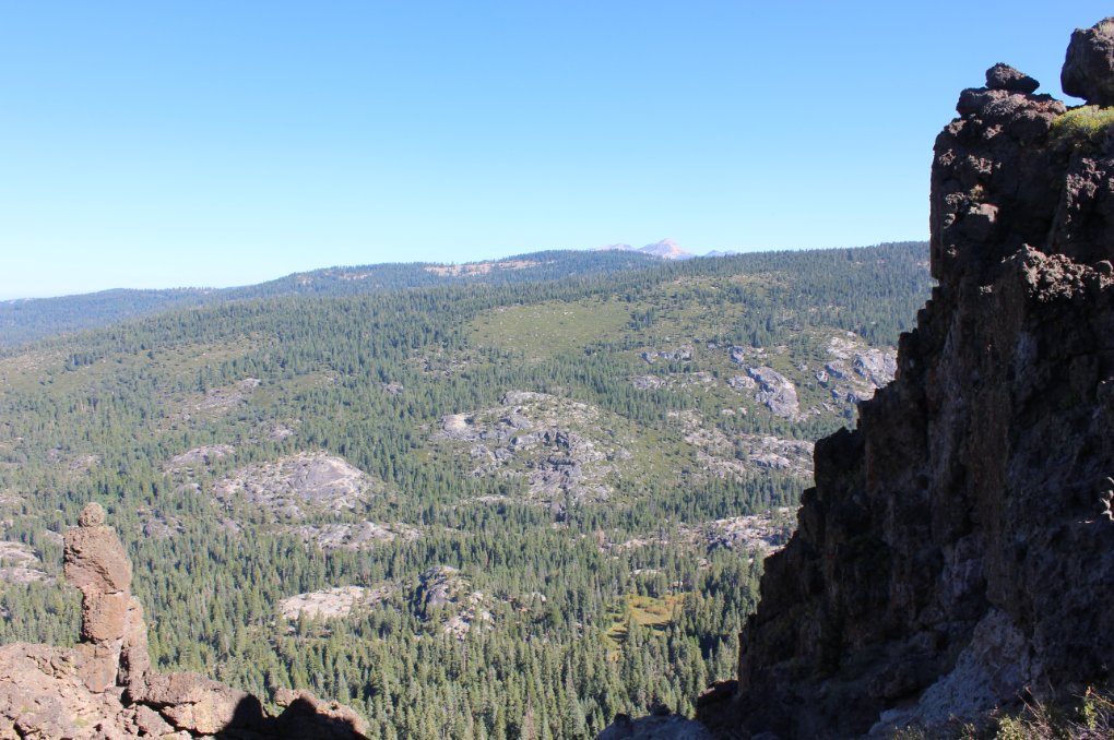
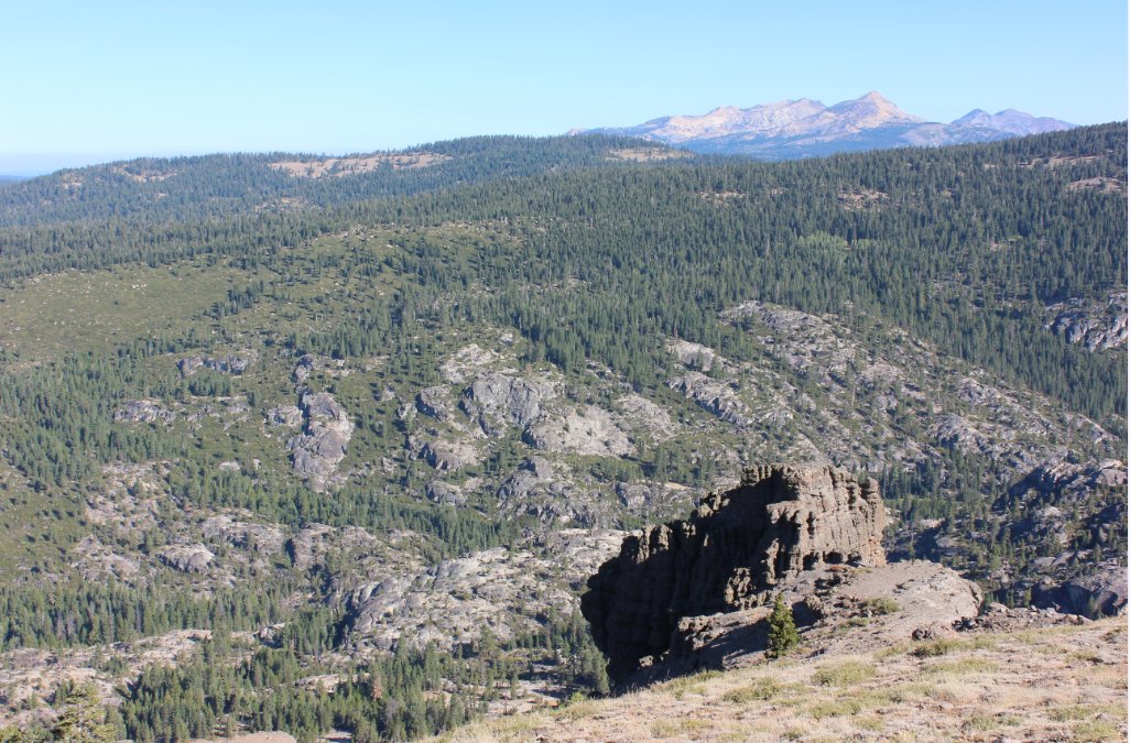
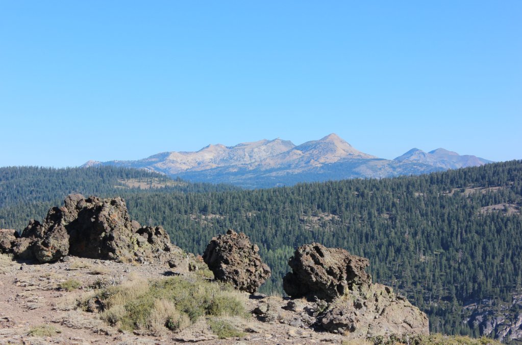
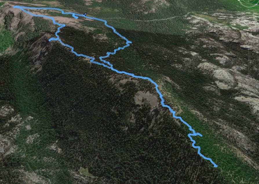
| General Notes: From the parking area on the road, head northeast toward the high point that you can see from the road and parts of the trail. As long as the trail is climbing up, you are headed in the correct direction. When you reach the top, you will be very near Castle Point, a distinctive castle-like feature that is visible from all over the Caples Creek drainage area nearby. Head west along the ridgeline, and be sure to look for the rocky formation which looks like the back of a very tall man stopping to take a "water break" as it were. Stay along the ridgeline as you head west, and eventually you will pick up the trail which leads from the Silver Fork trail ahead all the way back to the parking area you have near Highway 88. Continue on this as far as you wish, potentially meeting up with the Silver Fork trail, or at any point turn and head back south southeast along this well defined trail to get back to the parking area. |
|||||
