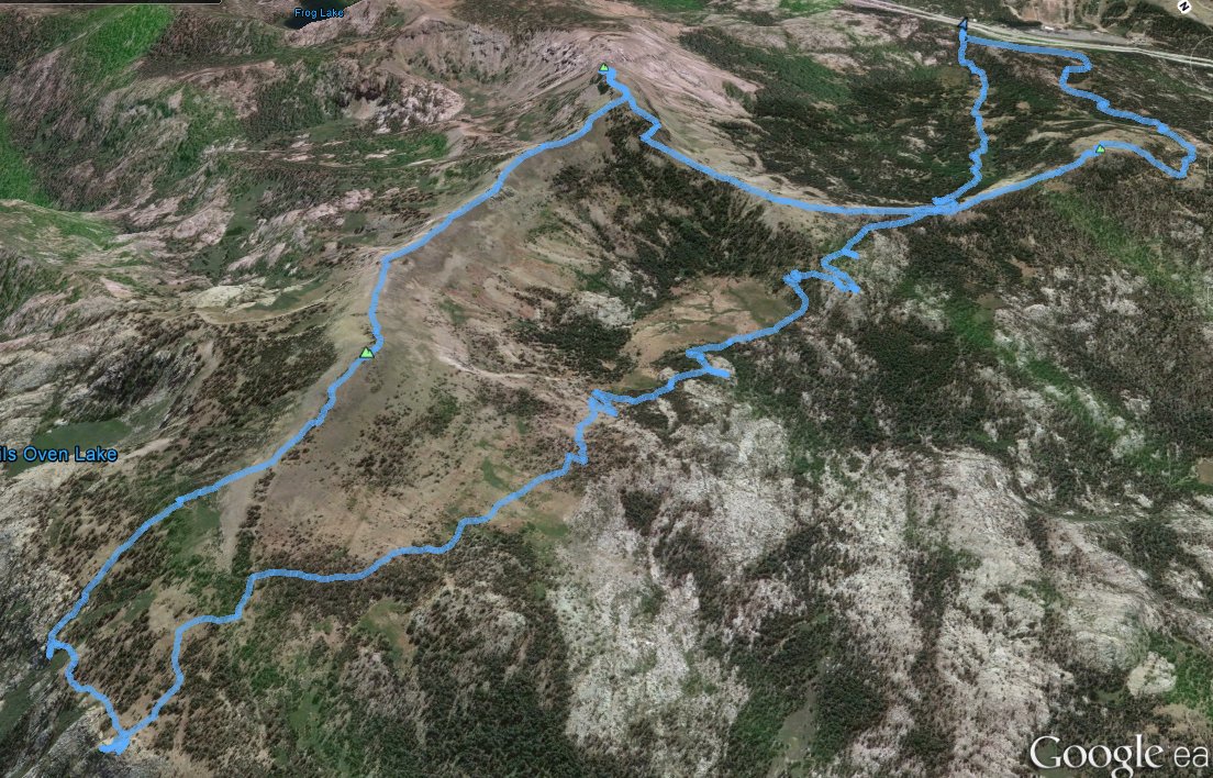
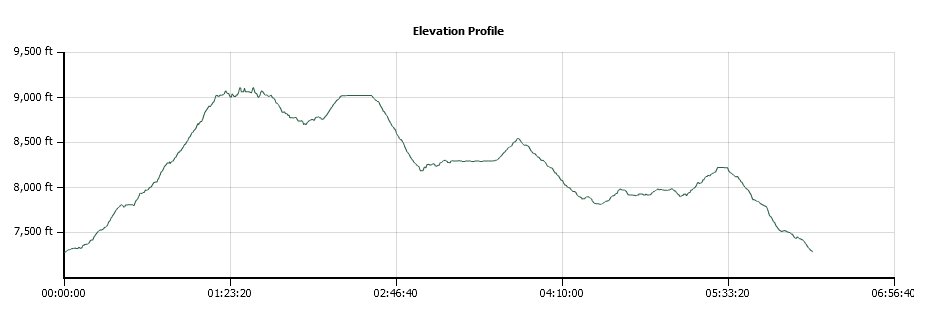
Distance: 12.4 Miles
Vertical Gain: 2000'
Group Size: 1
Hike Rating: Easy Moderate Hard Strenuous
 GPX for
this trip
GPX for
this trip
| Start Coordinates: | N 39 20.459 W 120 20.856 | End Coordinates: | Same as Start Coordinates | ||
| Car Shuttle Req'd: | No | Parking Directions: | Take Highway 80 to the Castle
Peak/Boreal Ridge Road exit. Turn left over the freeway and
head up the road to the parking coordinates listed on this page.
In summer it is possible to use 4WD to get further up this road almost to Castle Pass, cutting a couple of miles off the trip. |
||
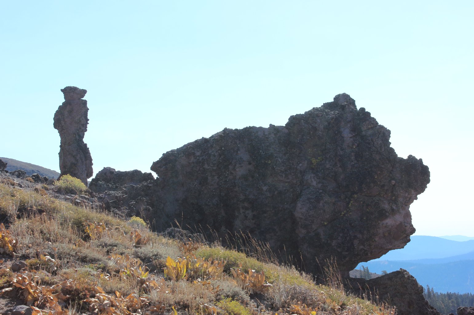
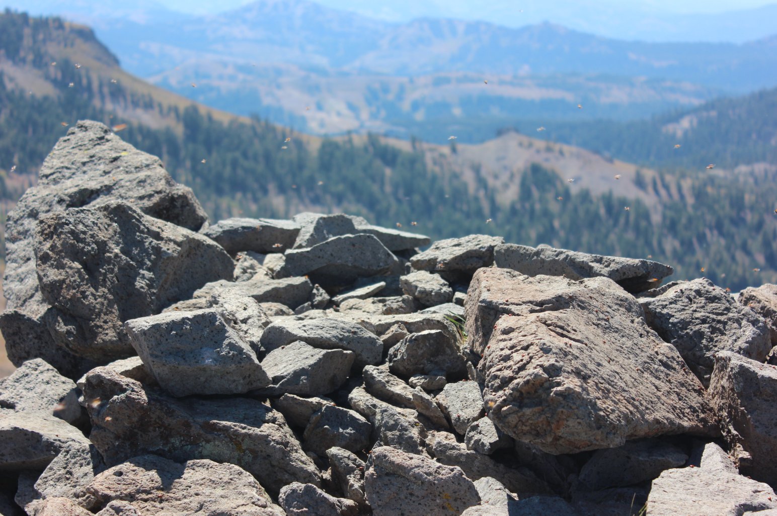
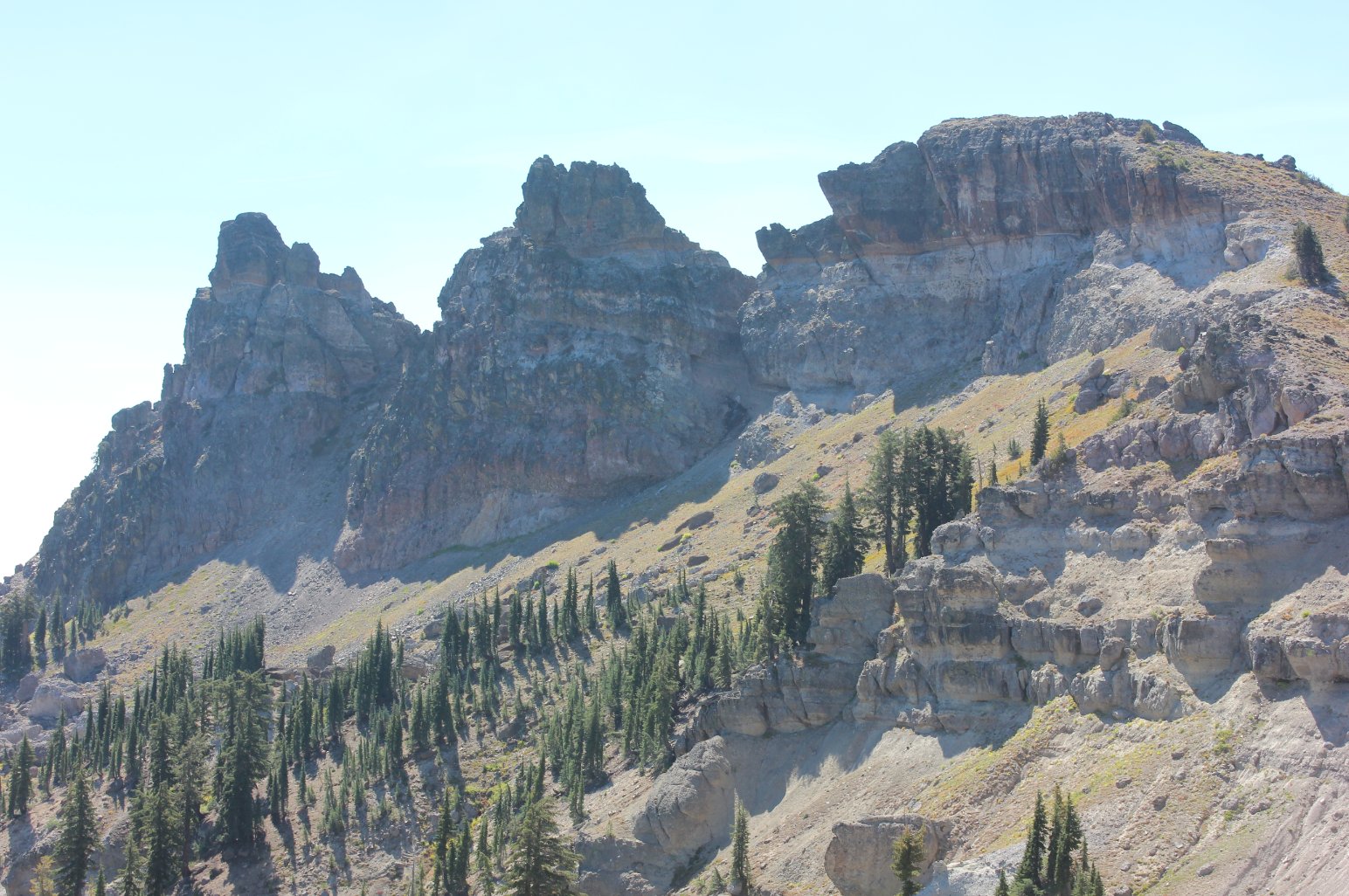
| Hazards of Note: | The true summit of Castle Peak requires a 30 foot climb up a sheer volcanic (basalt) formation and should not be attempted alone. | Crowd Factor: | Expect to have a few hikers on
the trail with you, especially on a weekend. This is a very
popular trail in both summer and winter. Much fewer when you
head over to Basin Peak. The PCT section from Paradise Lake back to the trailhead will probably also have people on it at most times. |
||
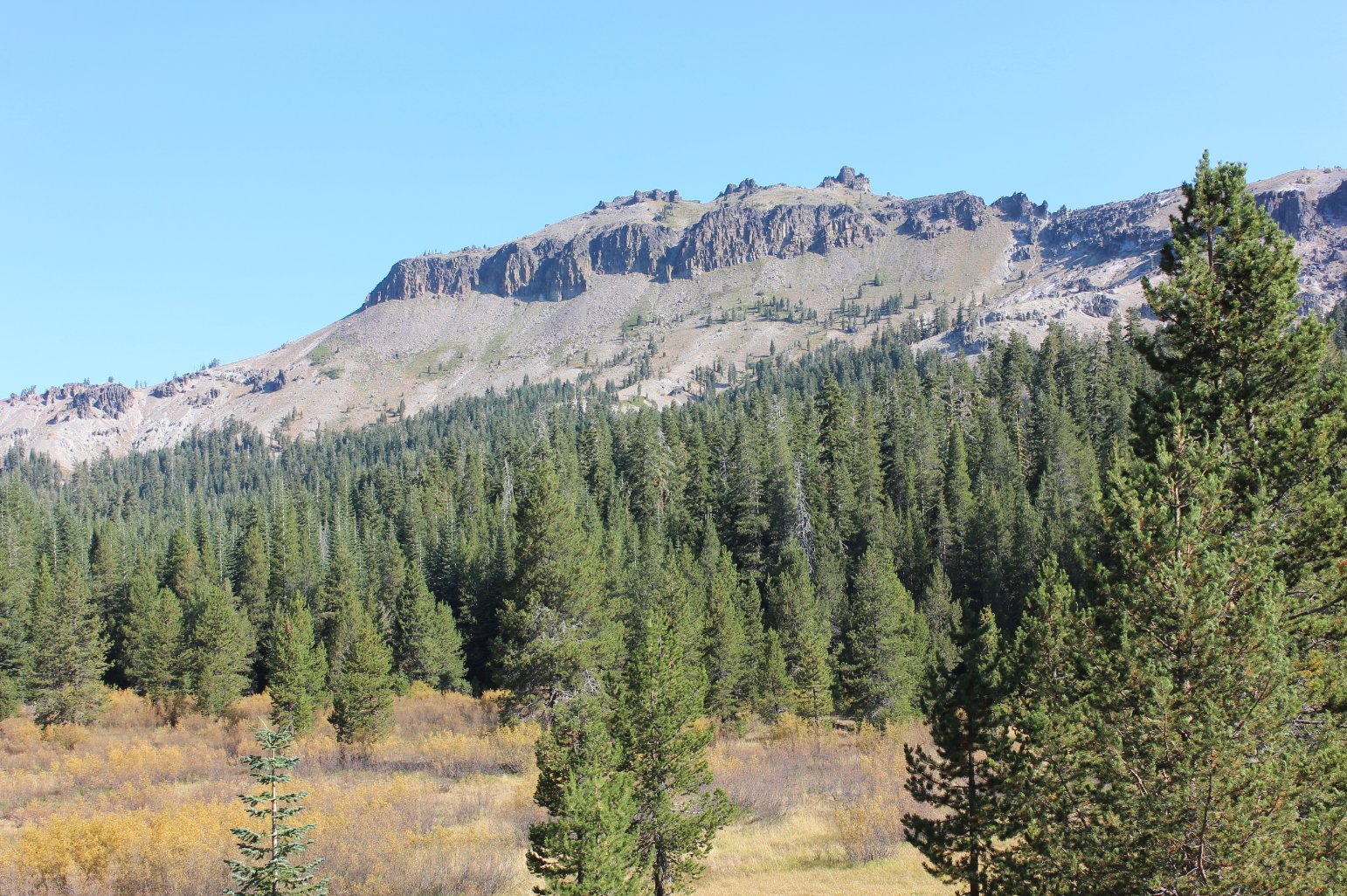
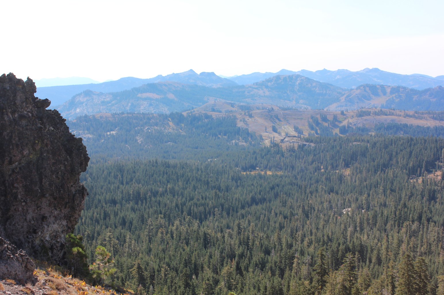
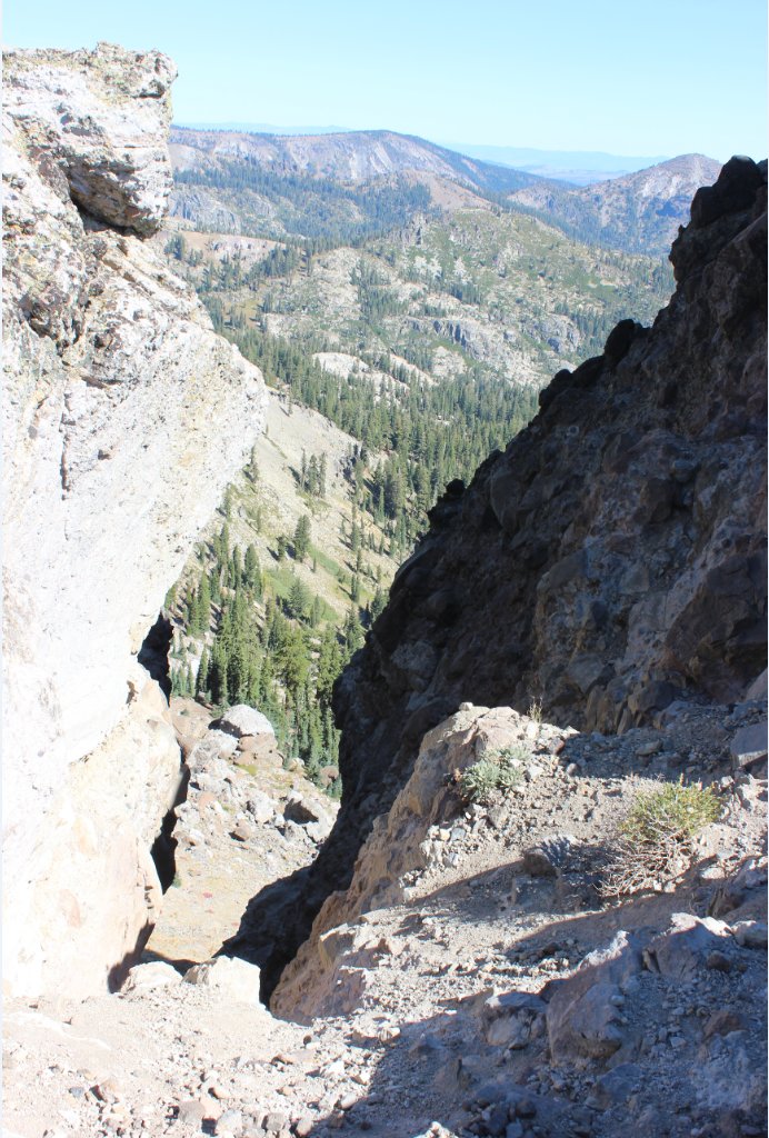
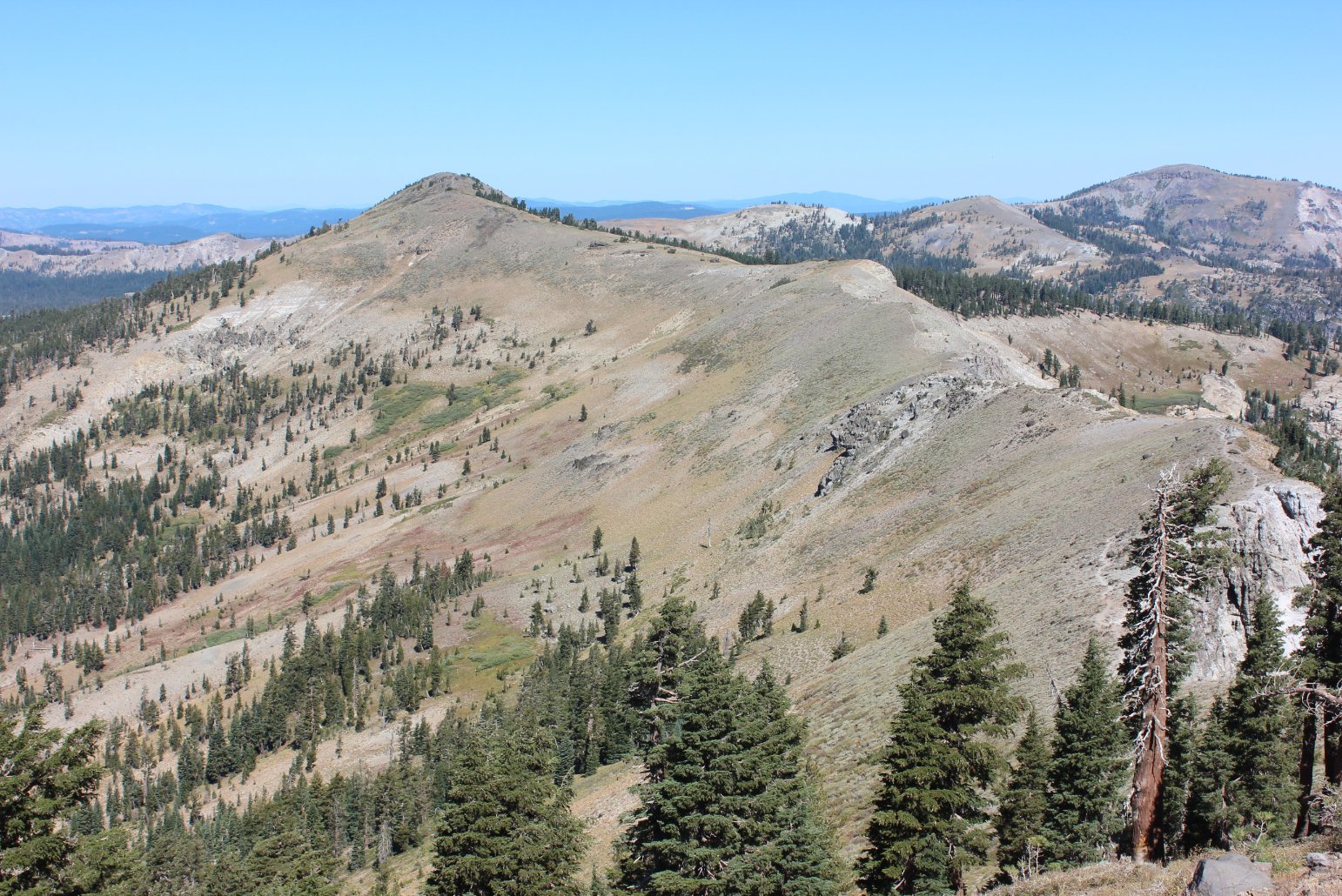
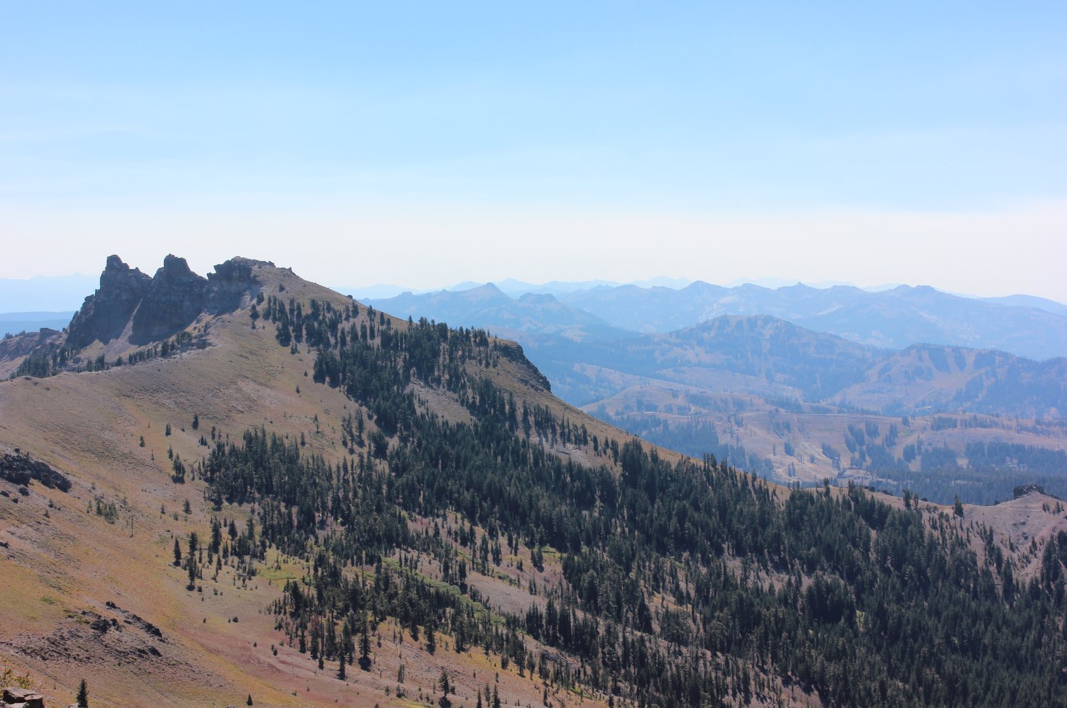
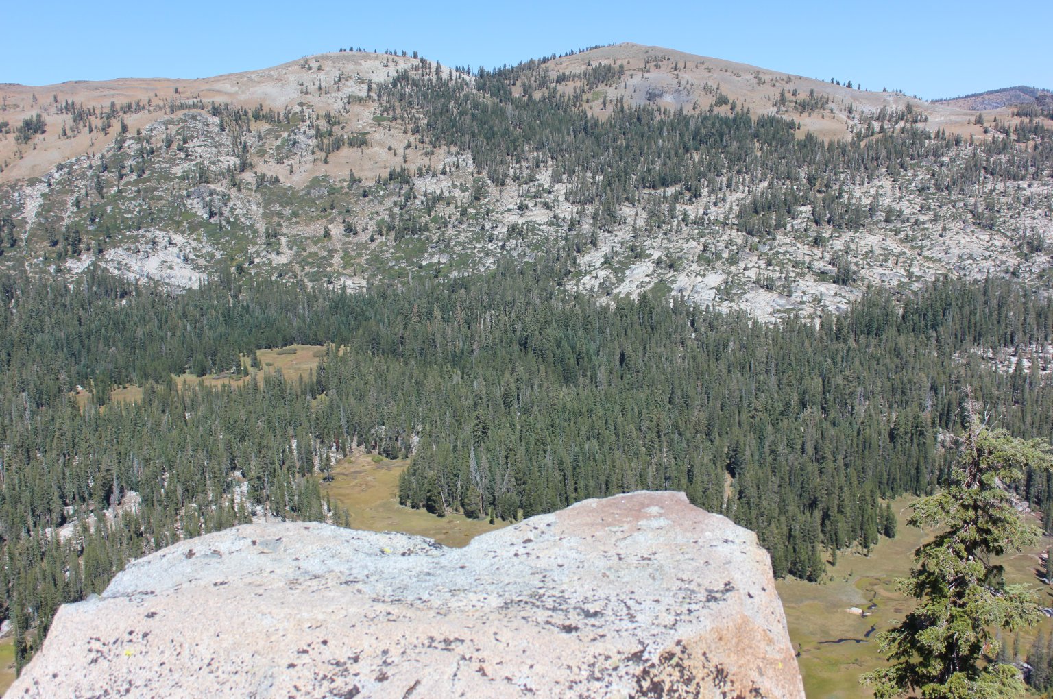
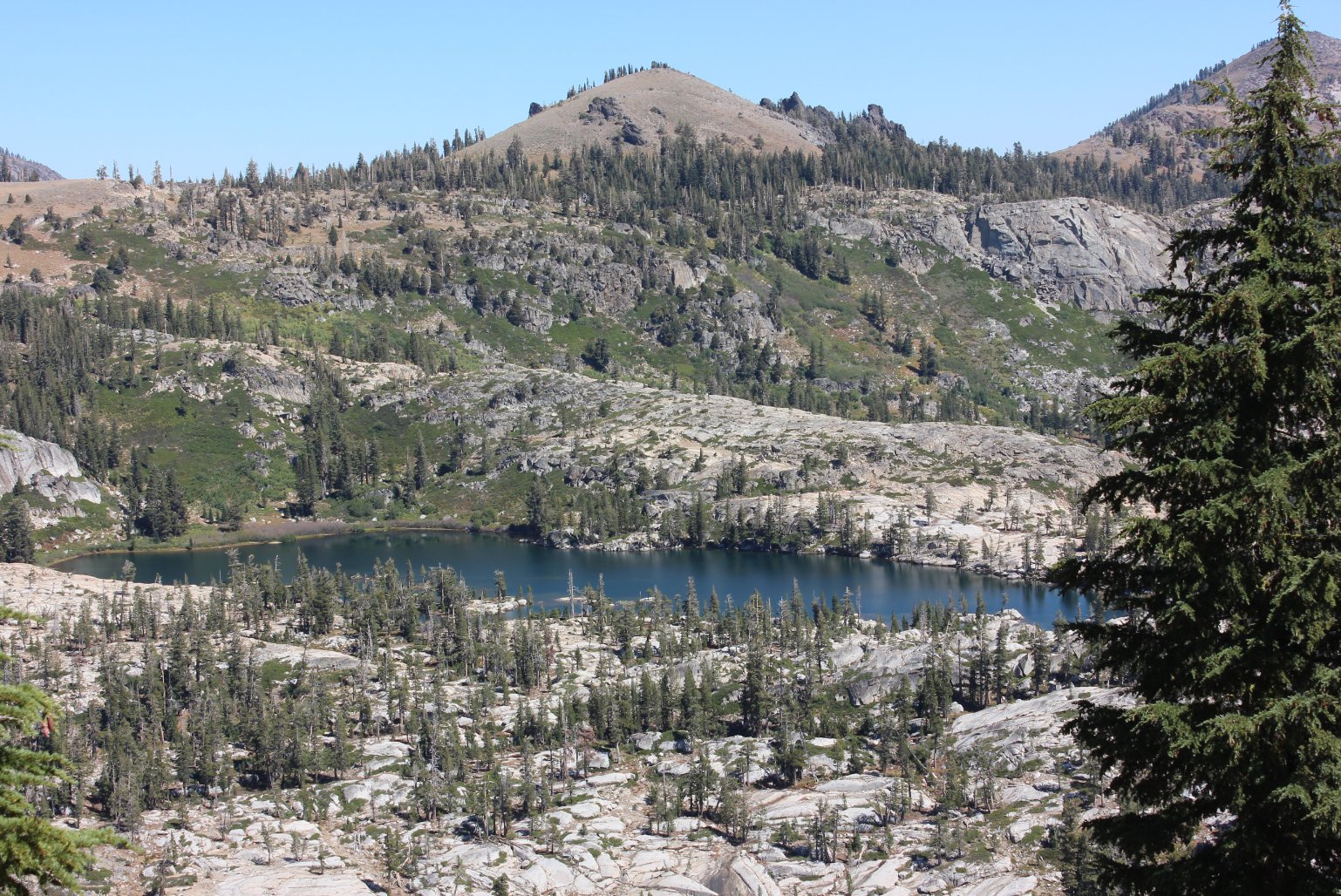
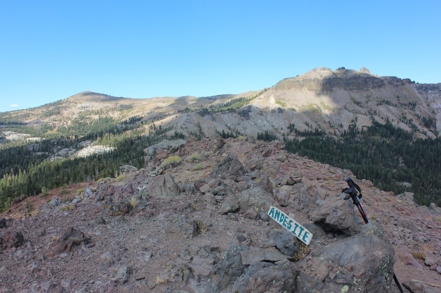
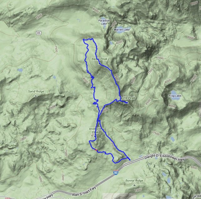
| General Notes: After the initial climb up to Castle Pass, head right and up toward the top of Castle Peak. The true summit is actually the third basalt formation from the pass, and you will have to hike around the south side of the mountain to access this location. To get to Basin Peak you head back down the north side of Castle Peak, the same way you hiked up to it, and then find the use trail that is very obvious and runs along the ridgeline between the two peaks and heads north to Basin Peak. Past Basin Peak you can potentially drop down into Paradise Lake heading Northeast, but I went Northwest instead and found myself looking 500-600 feet down in Paradise Valley. Not wanting to risk attempting anything like that solo I headed toward the PCT took that back to Castle Pass. From there, I headed Southwest to the top of Andesite Peak, and then around the backside of it to pick up a dirt road/sno-mobile route that wound slowly back down to the parking area. |
|||||