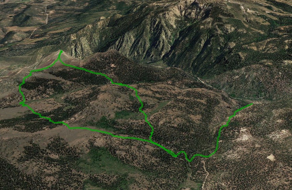
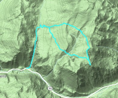
Distance: 9.1 Miles
Vertical Gain: 2500'
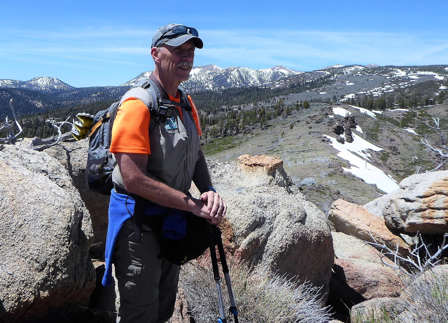
Group Size: 2
Hike Rating: Easy Moderate Hard Strenuous
 GPX for
this trip
GPX for
this trip 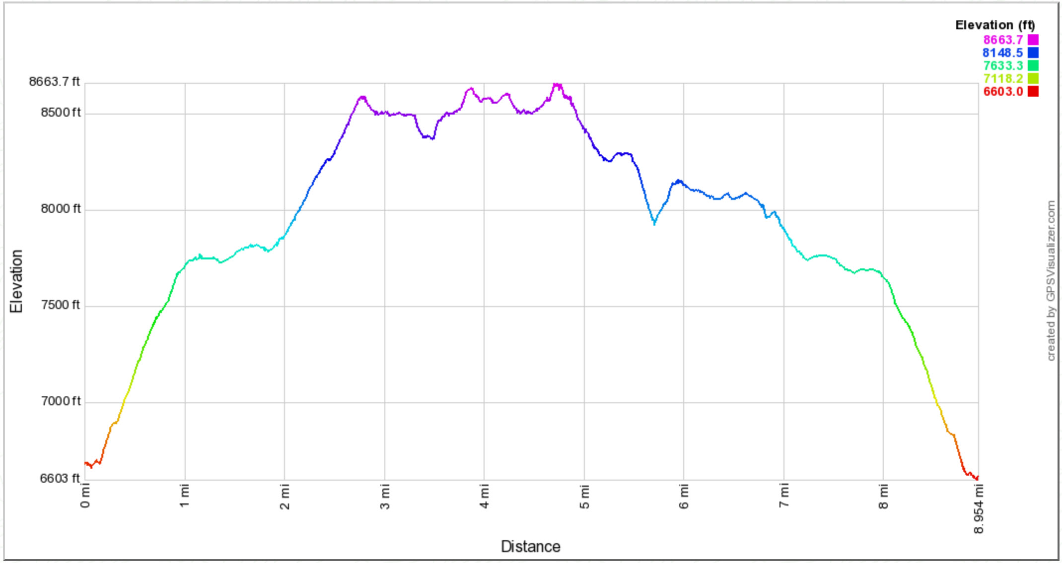
| Start Coordinates: | N 38 46.671, W 119 53.088 | End Coordinates: | Same as Start Coordinates | ||
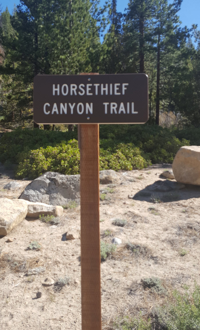
| Car Shuttle Req'd: | No | Parking Directions: | Take Highway 88 east toward Markleeville and Woodfords. Just a couple of miles past Sorenson's resort on the south side of the road, turn into the dirt parking area on the north side at the coordinates to find the trailhead for Horsethief Canyon. | ||
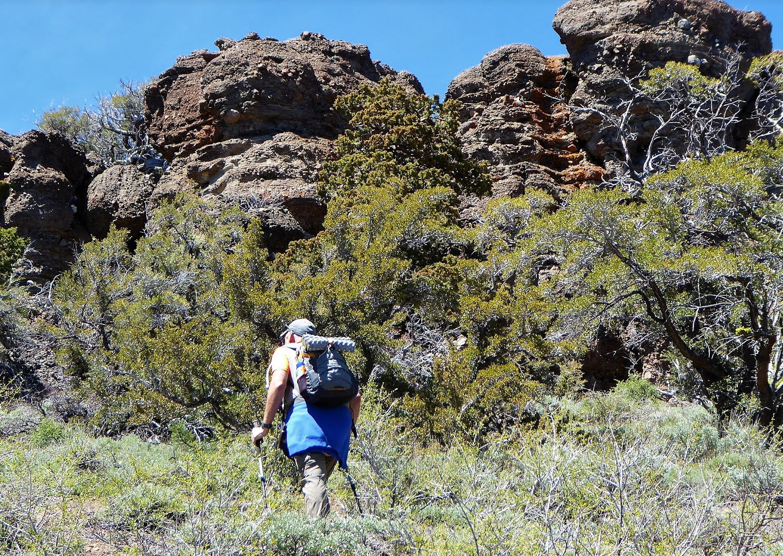
| Hazards of Note: | Steep incline on the first
part of the hike. Significant cross-country route finding
skills will be necessary after you leave the trail and head toward Cary
Peak. A large amount of manzanita and other sharp scrub brush
will need to be crossed through as well in both directions. |
Crowd Factor: | Limited to none. Heading up the first part of the hike on the Horsethief Canyon trail you might run into a hiker or two, but once you go cross country and head toward Cary Peak, you will most likely encounter nobody. | ||
| General
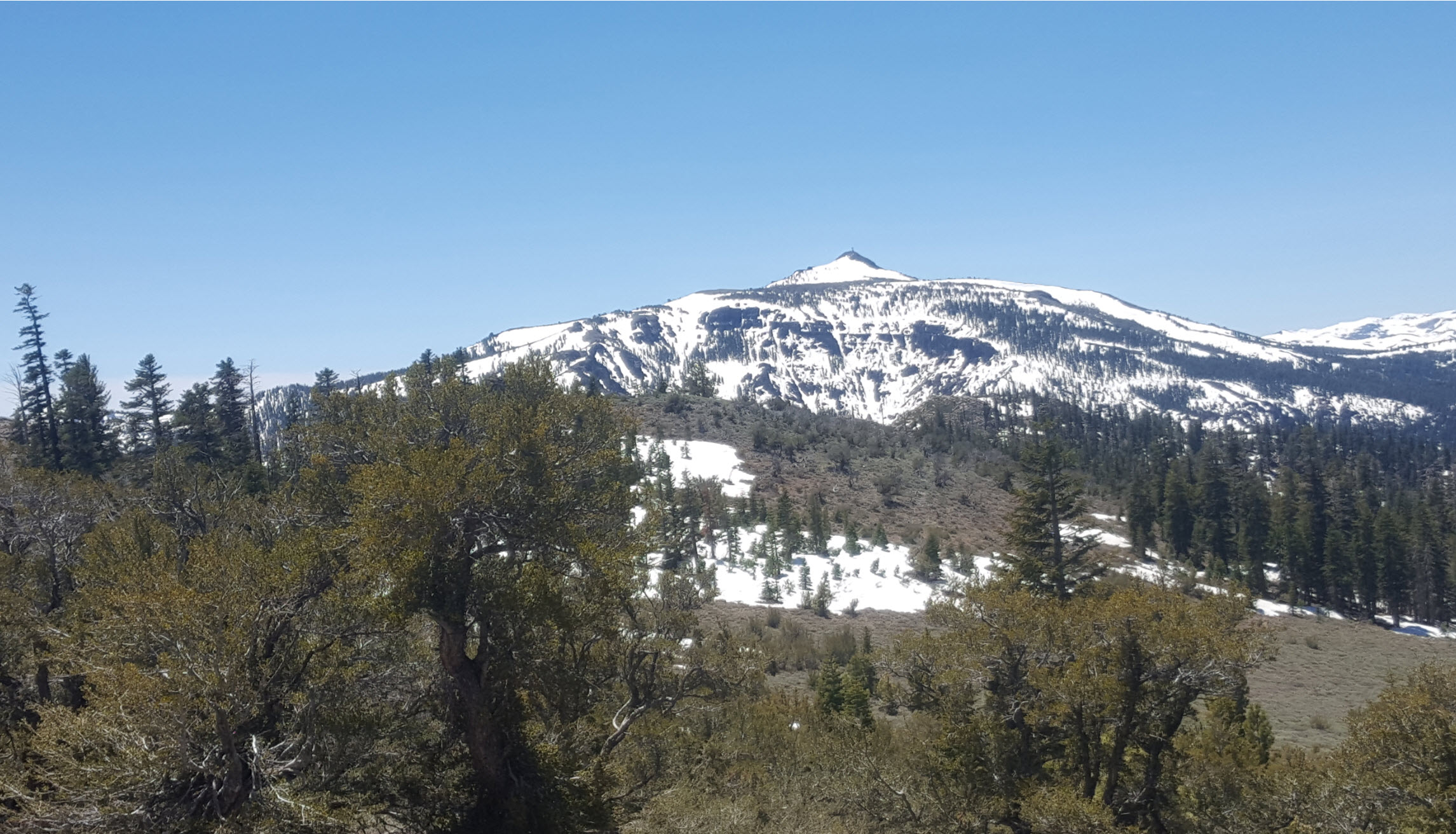
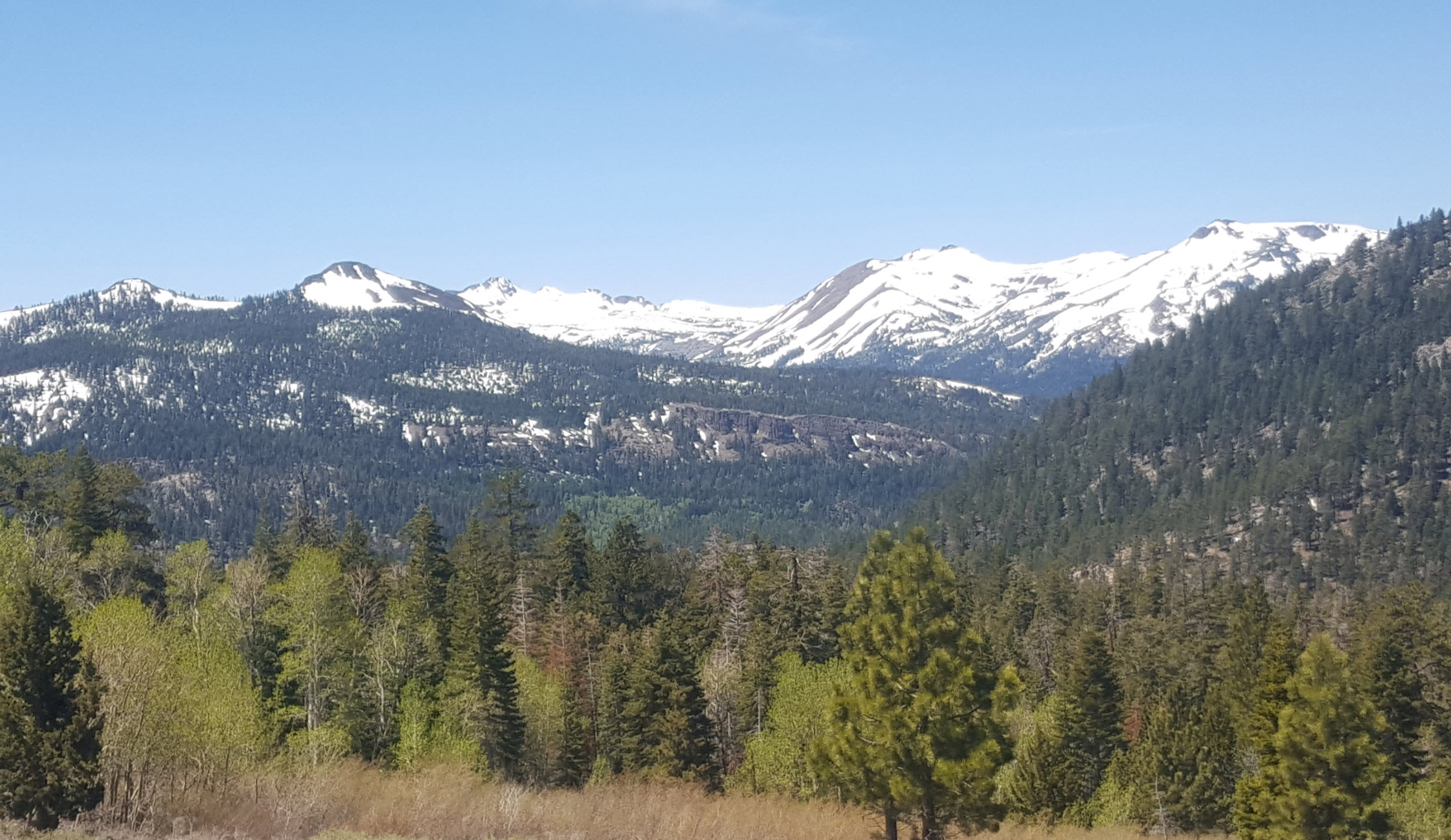
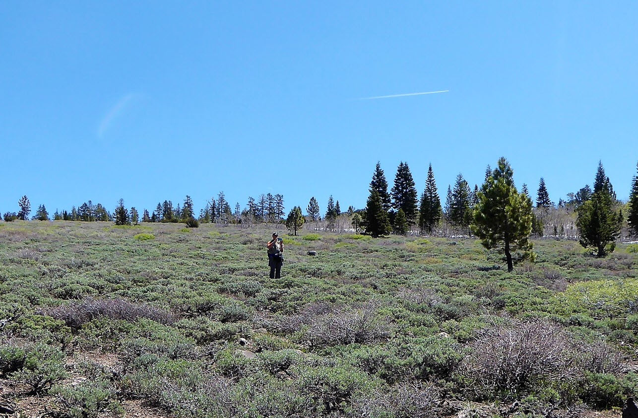
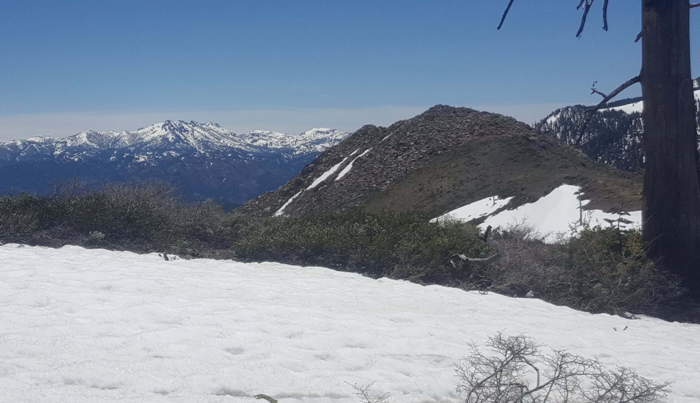
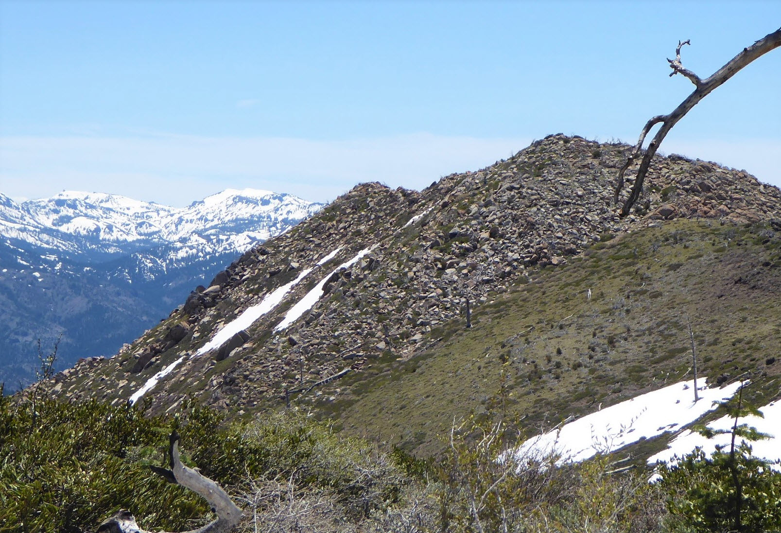
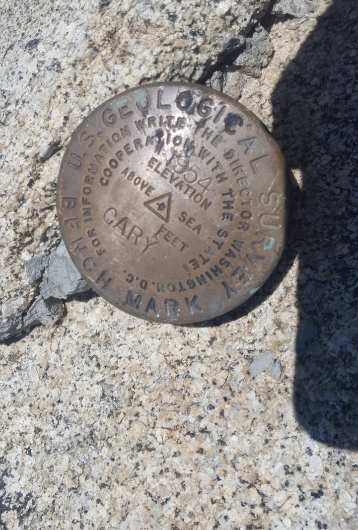
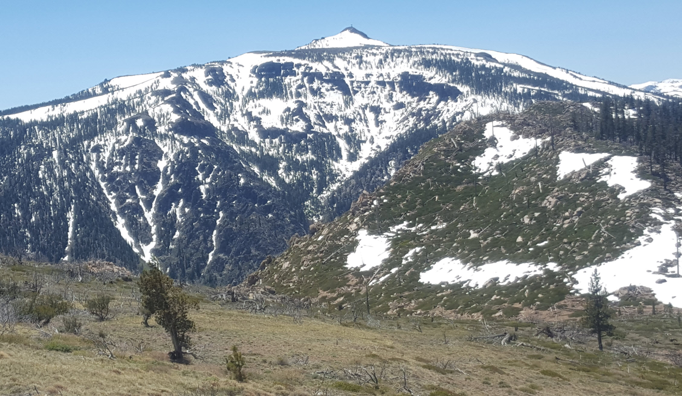
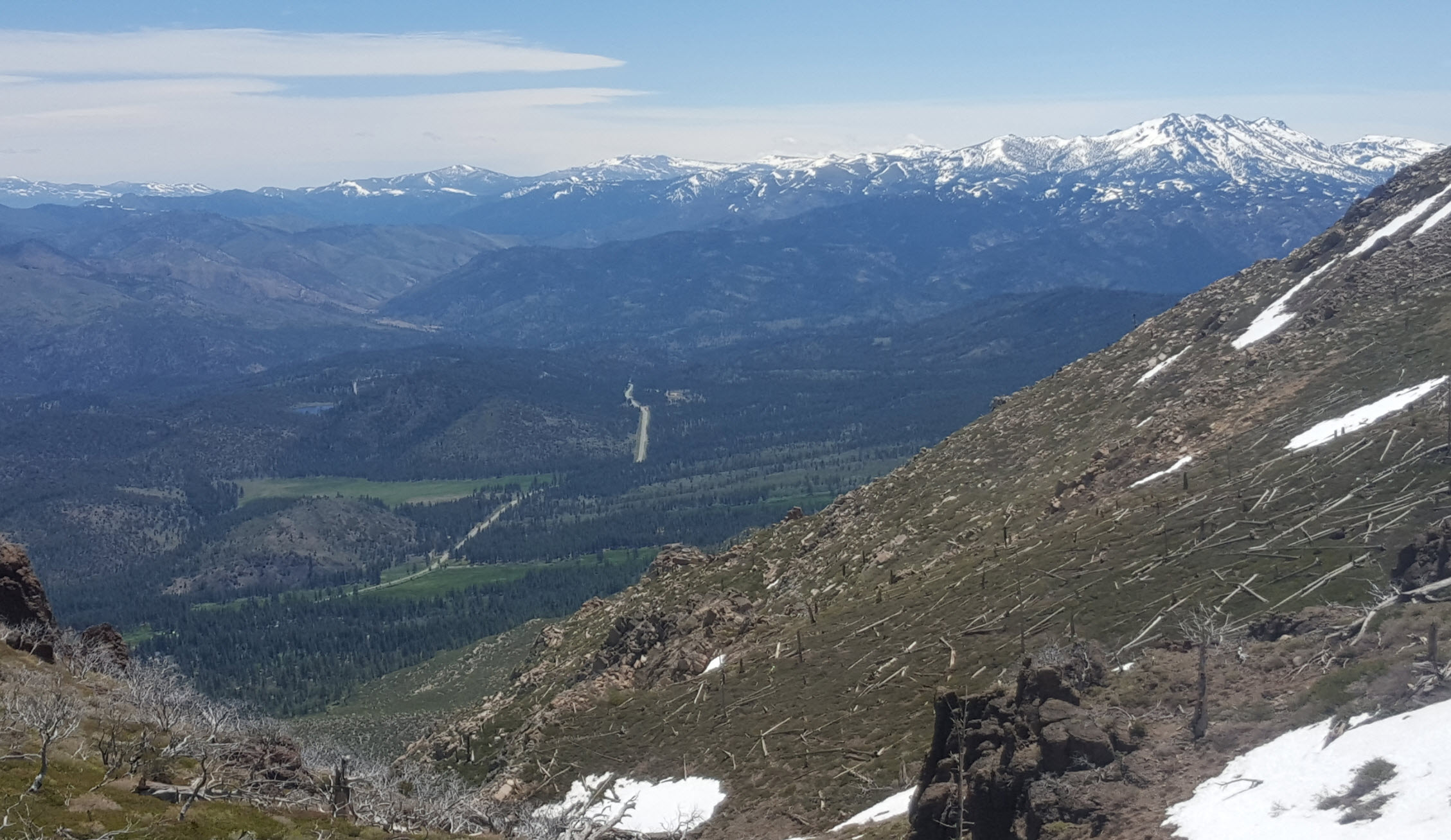
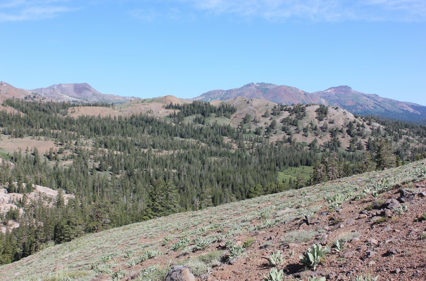
Notes: From the parking area in the dirt parking lot, the trailhead can be found at the eastern side of the area. Head up the trail, and almost immediately you will enounter the start of a long climb, with granite lined switchbacks helping you cover over 1000' of elevation gain in just the first mile. Once you reach the top of the canyon where it starts to level off, the path is easier going. You will pass through a cattle gate that needs to remain shut after going through it, and then you will find two different intersections where a small sign points you toward the way that simply says "Trail." At the second sign, where the trail heads left toward Freel and Road 51, turn right up an old dirt road, and follow that for as far as you can. From this point on you will be cross-country all the way to the peak. You will have to do significant route-finding along this way, and be able to navigate successfully for 6 of the 10 miles on this entire trip. The summit of Cary Peak is a rocky climb, and you want to head to the high point of the ridgeline on the north side of the peak as soon as possible for the best access to the top of the peak. On the return trip, you can either head back the same way as you came, or you can take a short cut through Hidden Canyon to the northwest of Cary Peak. Be sure to stay lower than the top of the ravine you will head down into the canyon, as there are impassable volcanic rocks at the top of the ridge above. Navigate back to the Horsethief Canyon trail and you will be back to the parking area and the end of the hike in no time. |
|||||