
|
Cardiac
Hill to Pioneer Express Trail Hike
|
|
Trip Date: 03/10/2015
Distance: 10.0 Miles
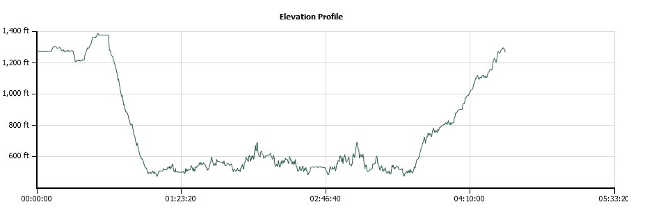
Vertical Gain:
1950'
Group Size:
1
Hike Rating: Easy
Moderate
Hard
Strenuous |
 GPX
for
this trip GPX
for
this trip
|
|
|
Start Coordinates: |
N 38 52.514, W 121 03.946 |
|
End Coordinates: |
Same as Start Coordinates
|
| Car Shuttle
Req'd: |
No |
|
Parking
Directions: |
Take Folsom-Auburn Road to
south Auburn, and then turn east on Maidu Dr. Just after the
road bends to the north about a mile down, find the parking area for
China Bar on the right hand side of the road. This is a State
Park and there is a fee of $10 as of 2015 for parking here. |
| Hazards of
Note: |
Rattlesnakes, ticks, poison
oak, mountain
lions. |
|
Crowd Factor: |
High.
This is a popular area for North Fork canyon viewing, and
Cardiac
Hill is a standard destination for hikers and bikers looking to get in
a local extreme workout. |
General Notes:
From the parking area find an opening in the fence to the south, and
pick up the trail along the small canal that parallels the trail for a
little while. When the trail either meets up with the asphalt
road or when the Cardiac Bypass trail cuts across the canal trail,
follow this to the right and head back up almost to a gate on Maidu Dr
just before it bent to the north on your way here. Turn left,
and
follow the signs to Cardiac Hill in about 3/10 of a mile. The
trail soon starts down sharply, with a number of curvy switchbacks
leading you down a very steep slope that you will have the pleasure of
climbing back up at the end of the hike. There are also side
trails which are marked Cardiac Bypass trail, which looks to extend the
path a little bit to take away some of the extreme elevation gain on
the way back up.
When
you get to the bottom of Cardiac Hill you will see a sign pointing to
the Auburn Staging area (not the way you want to go.) You
instead
will turn right, pass through another gate and head on toward
Rattlesnake Bar, 8 miles beyond. This picks up the trail
along
the river, which you can follow as far as you want before turning
around and heading back the way you came.
|
|
|
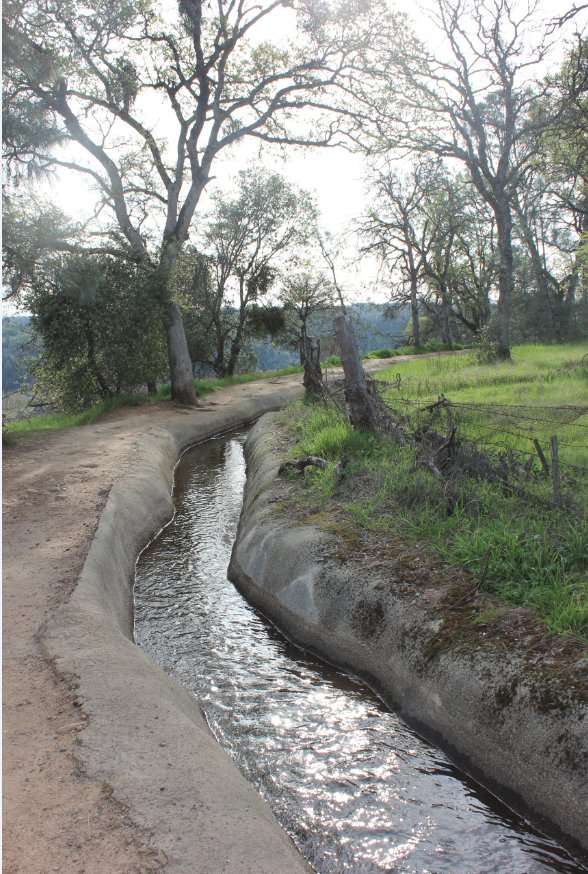
This is the canal trail that
you will follow from the parking area for about half a mile (or less.) |
 |
|
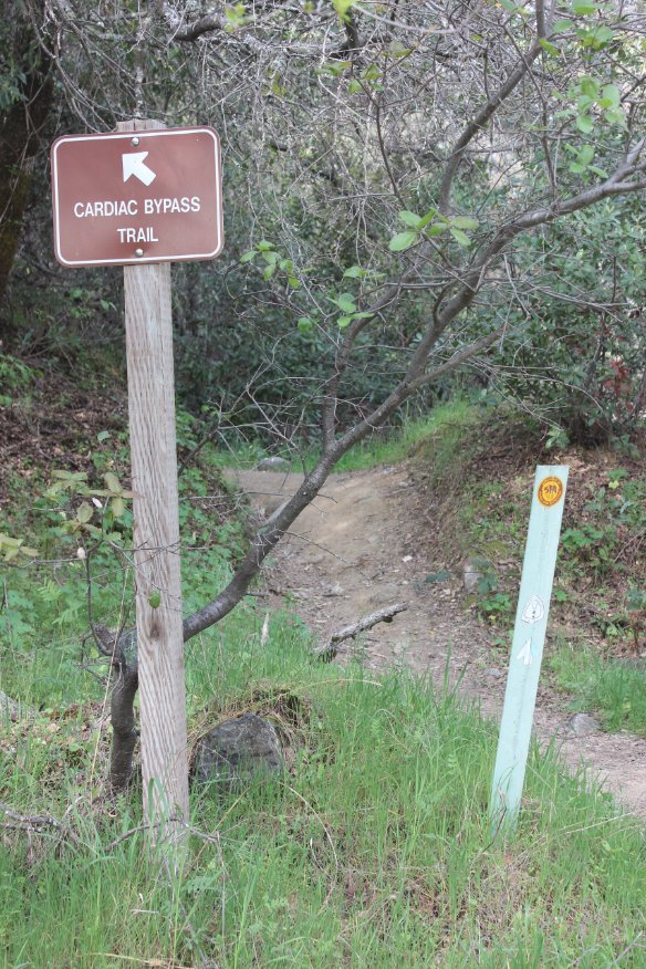
Look for signs from the road
that will get you onto the Cardiac Bypass trail. |
 |
|
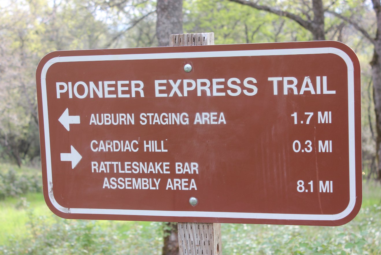
After
jumping on the Cardiac Bypass trail from the canal trail, you will be
on a flat area for about 3/10 of a mile before starting the steep
descent along the Cardiac Hill trail. |
 |
|
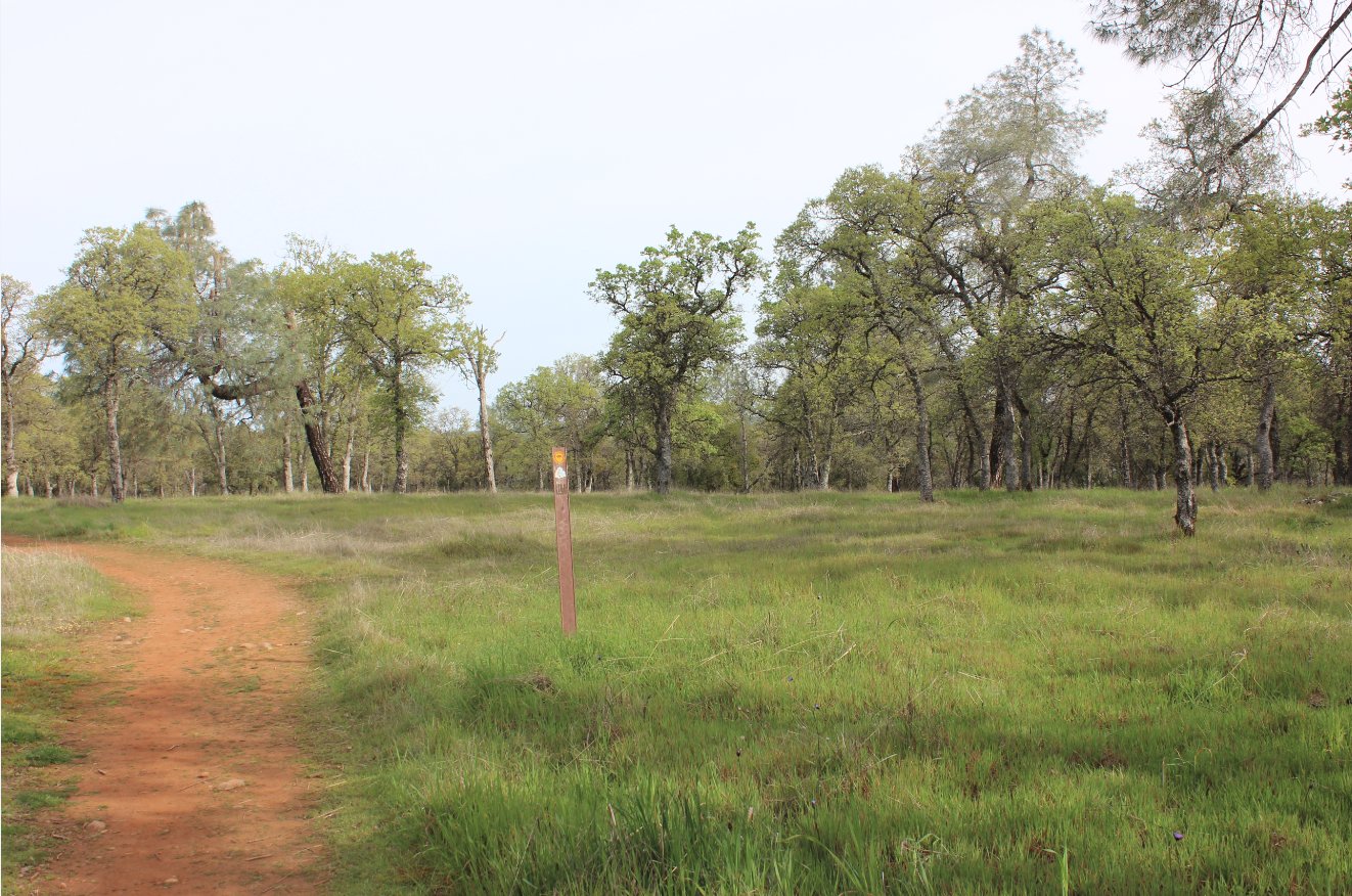
The path
along the top of the hill is very flat, through a nice green meadow (in
winter.) There are a number of nice homes to the west which
enjoy
this area as a view from their backyard. |
 |
|
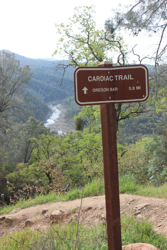
This sign
is the start of the steep descent into the canyon, where you will wind
up pretty much at river level in the next mile and a half. |
 |
|
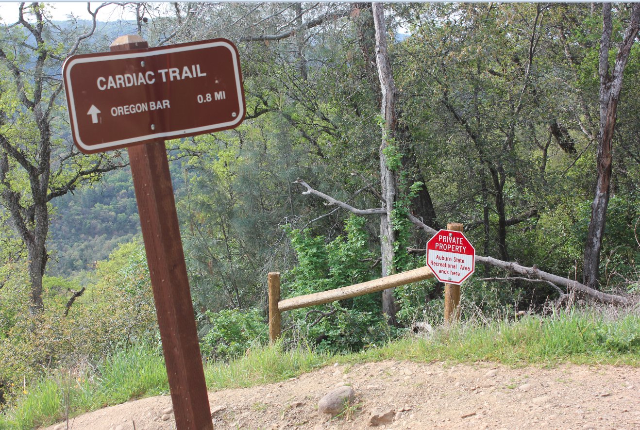
A local
property owner has granted permission onto his property to allow people
to still use the Cardiac Hill trail, but there are signs letting you
know very clearly where not to go. And, of course, many
trails
which lead off into the private property. |
 |
|
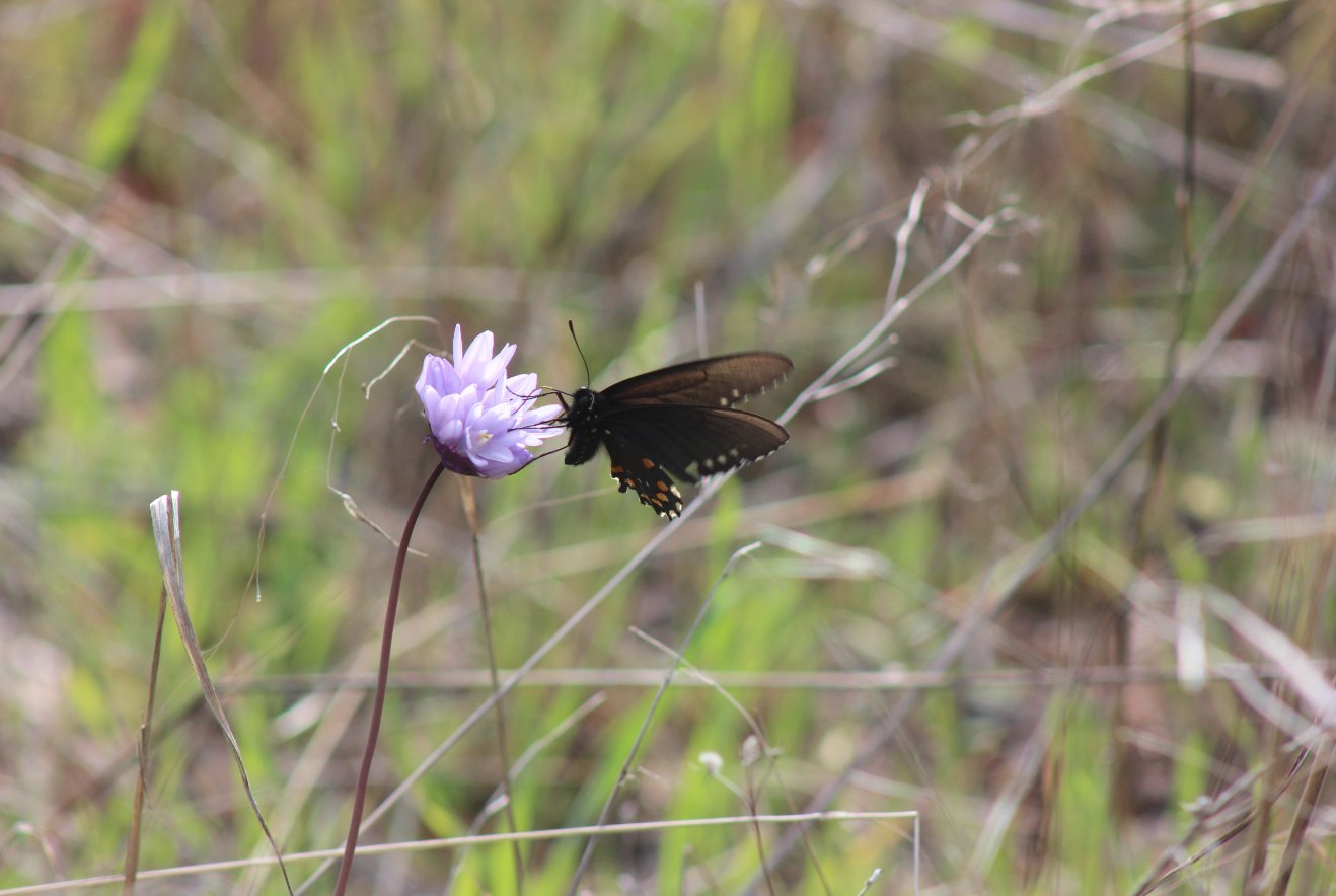
There were many of these all
along the trail on this day.
|
 |
|
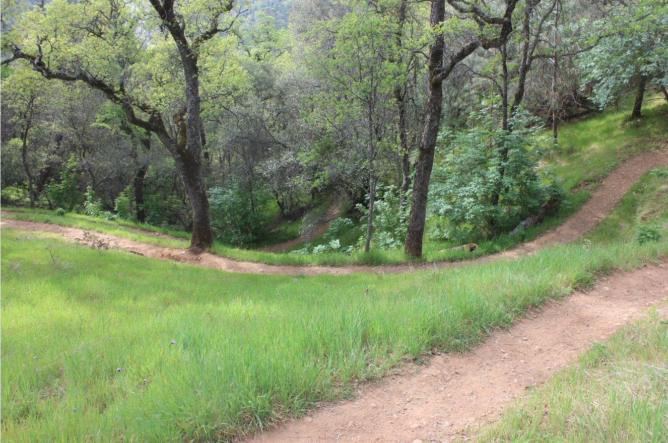
Lots of switchbacks on the
Cardiac Hill trail, including this section where you could see three of
them at once. |
 |
|
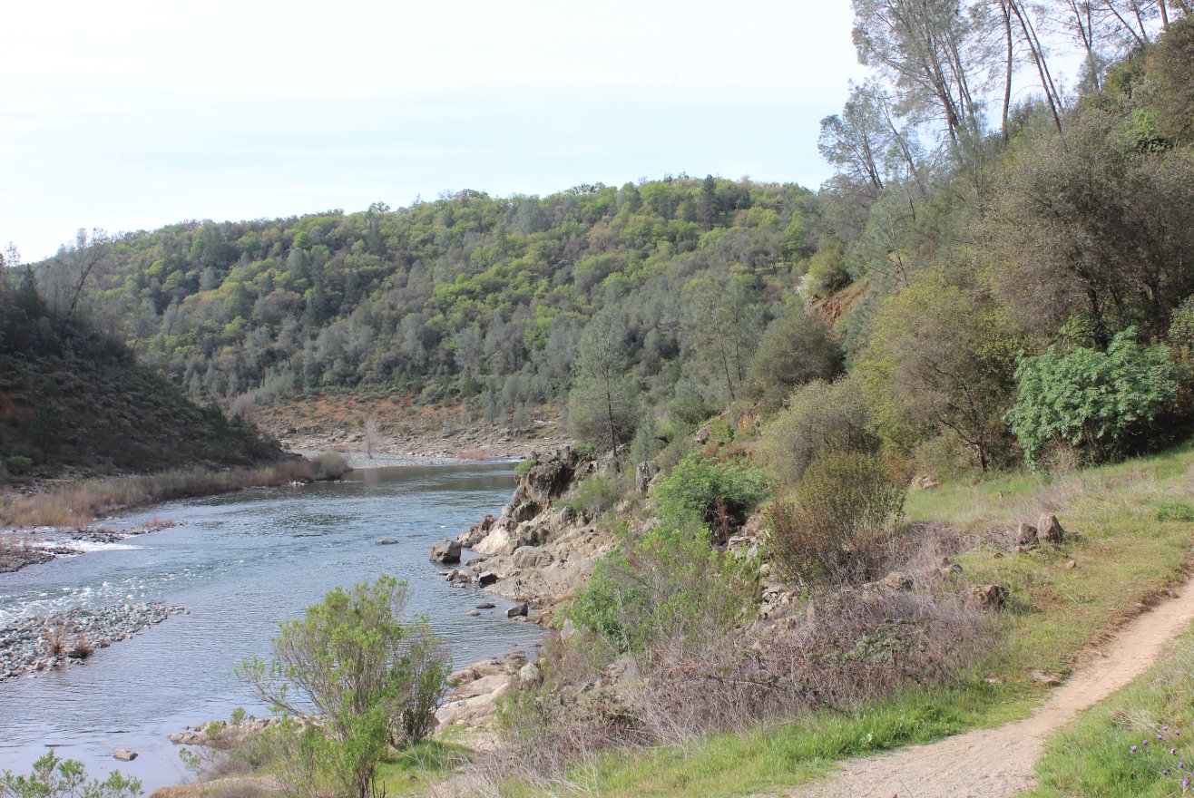
Finally
down at the river level, the rest of the trail pretty much followed it
without too much elevation change, but there were a few sections which
climbed a bit and afforded nice views in the canyon.
|
 |
|
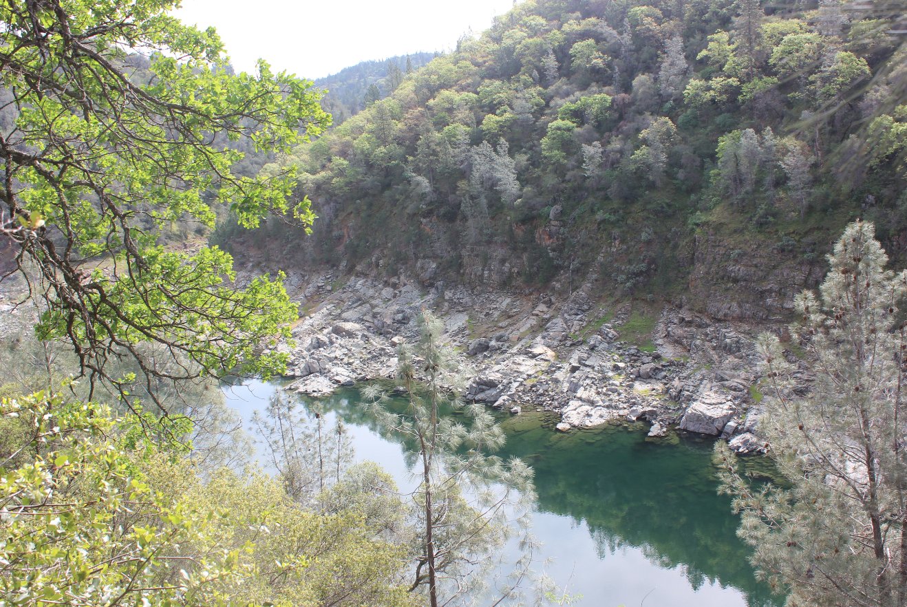
Even in a pretty low water
year, this spot had a nice view into a deep blue pool along the way.
|
 |
|
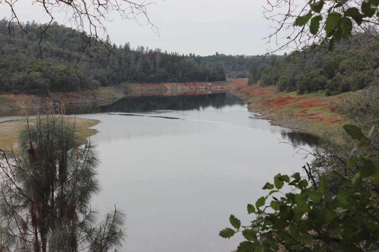
About
2 1/2 miles along the river trail the actual start of Folsom Lake could
be seen. Still a bit low but much better than the year before.
|
 |
|
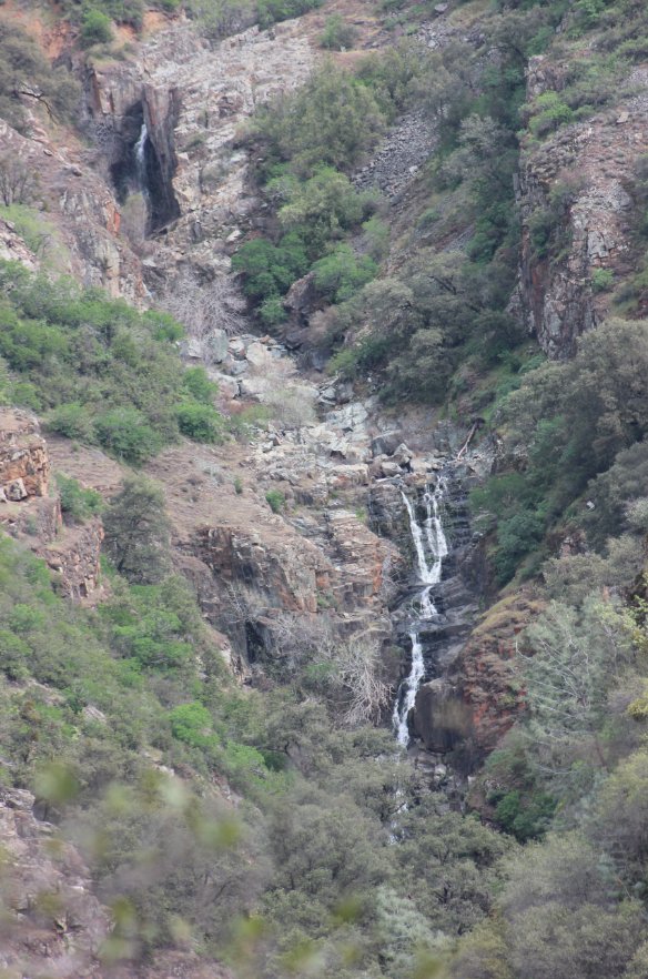
On
the way back I decided to take a slightly different way (partially up
the road,) and was rewarded with the surprising sight of Knickerbocker
Creek Falls out of Cool.
|
 |
|
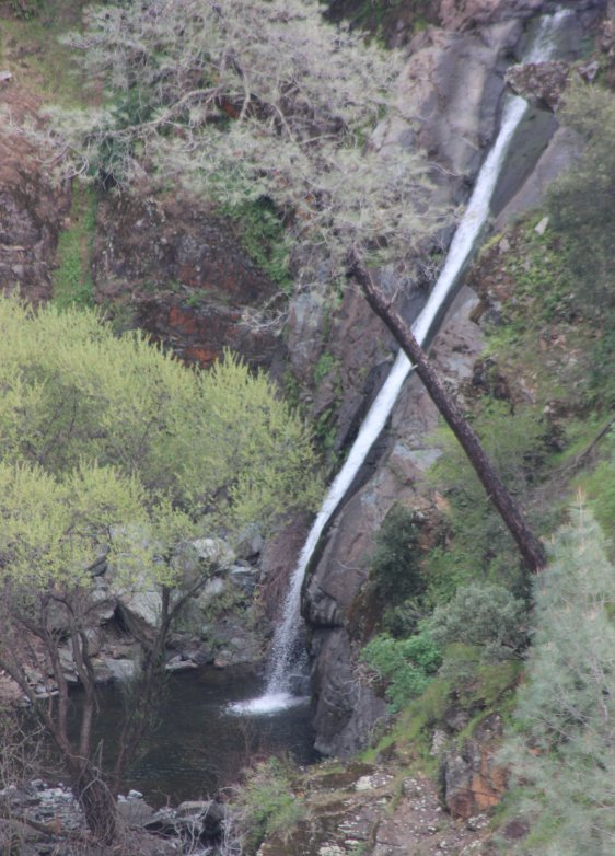
Especially enticing is the
lowest falls in the series, which reminds me of some of the Maui
waterfalls we have enjoyed.
|
 |
|
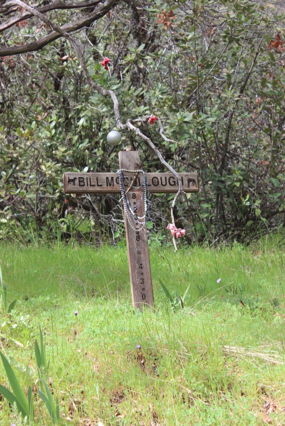
This
small memorial for jogger Bill McCullough is in memory of his sudden
passing at this spot in 2001 along the Cardiac Bypass trail due to a
previously unknown heart condition.
|
 |
|
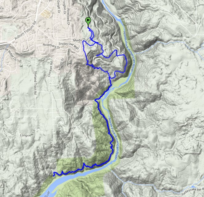
GPS Track of the full hike. |
 |


 GPX
for
this trip

