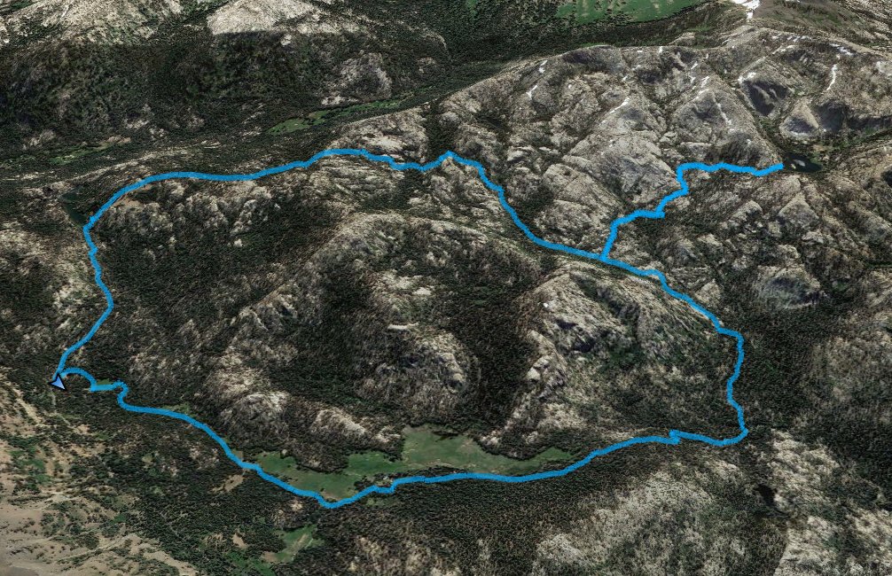
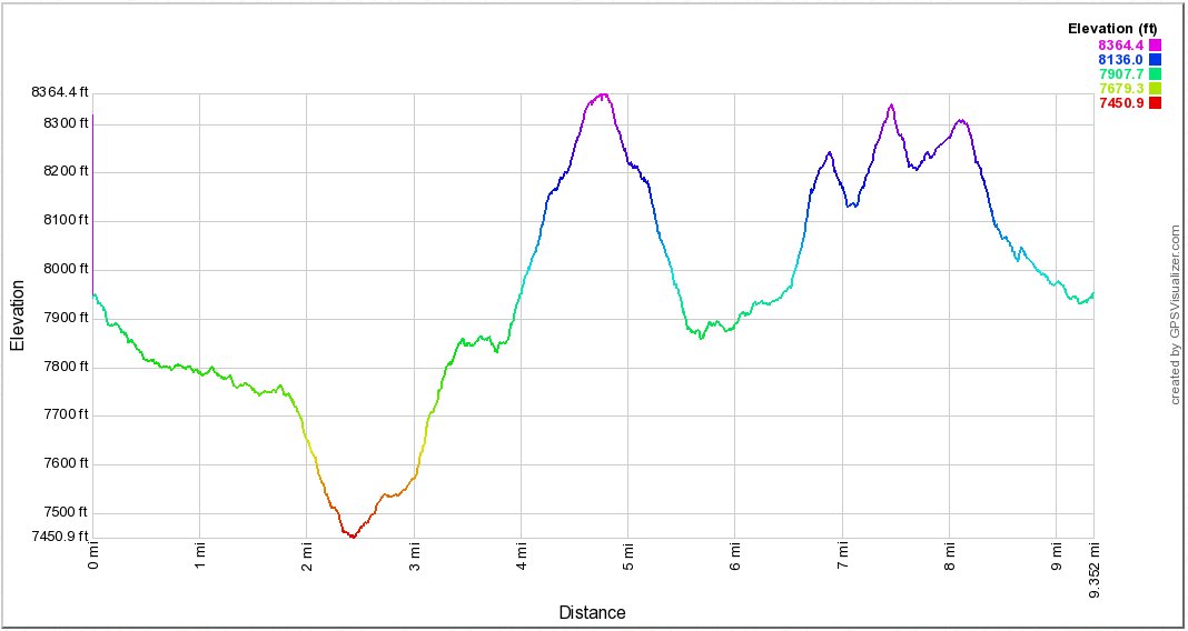
Distance: 9.5 Miles
Vertical Gain: 1800'
Group Size: 2
Hike Rating: Easy Moderate Hard Strenuous
 GPX for
this trip
GPX for
this trip
| Start Coordinates: | N 38 3.906, W 119 55.736 | End Coordinates: | Same as Start Coordinates | ||
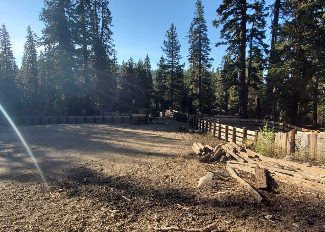
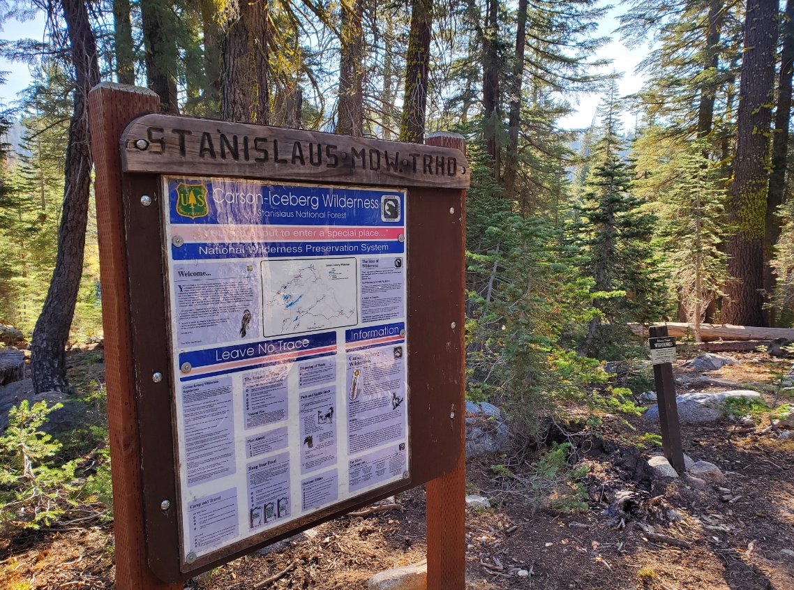
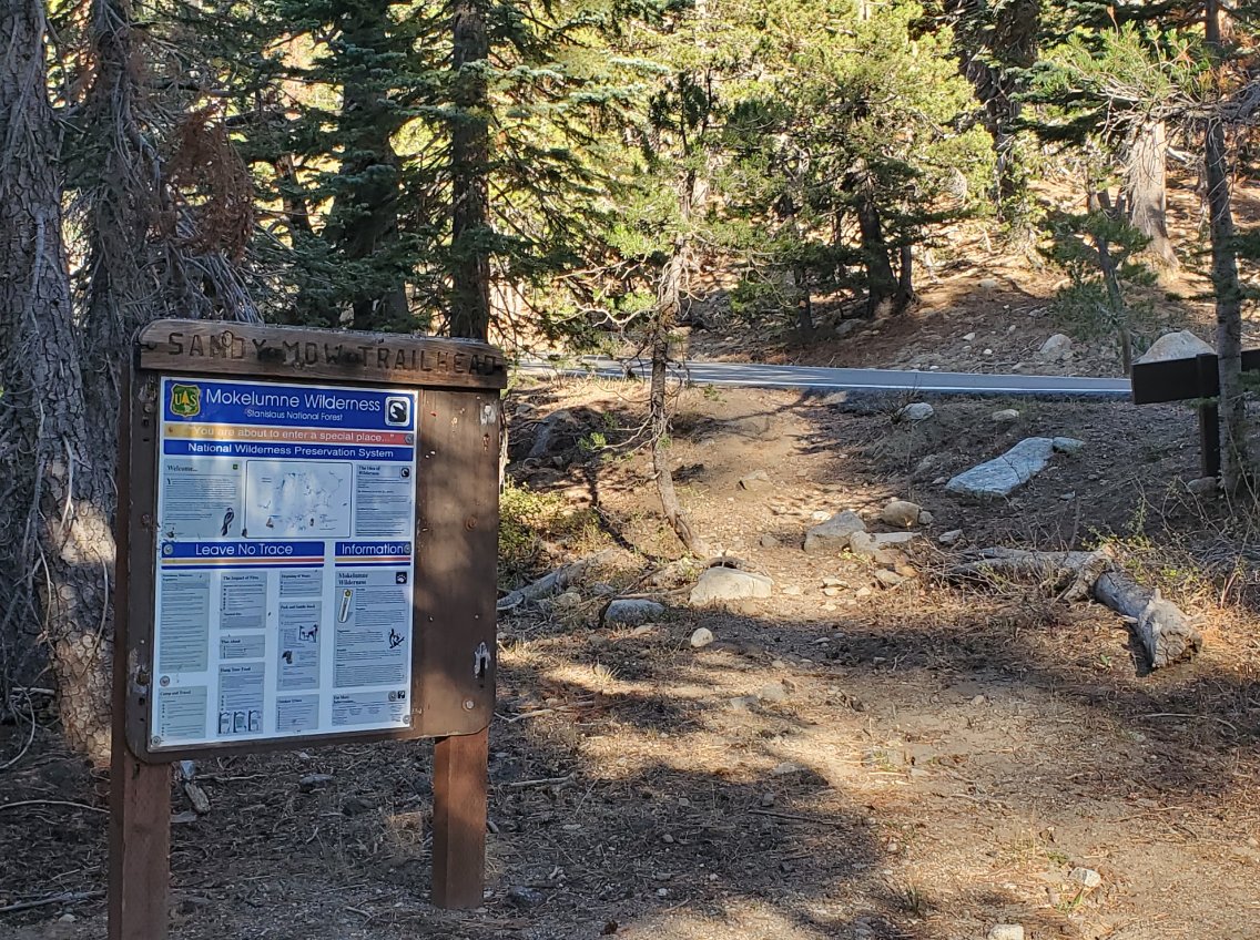
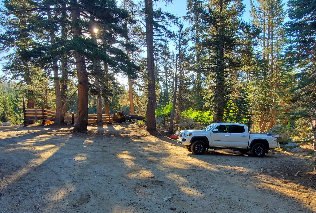
| Car Shuttle Req'd: | No | Parking Directions: | Take Highway 4 from the east side where it starts at the junction with Highway 89 (at the start of Monitor Pass.) Follow the highway for about 15 miles until you reach the parking area for the Sandy Meadow trailhead just to the west of Mosquito Lake on the south side of the highway. | ||
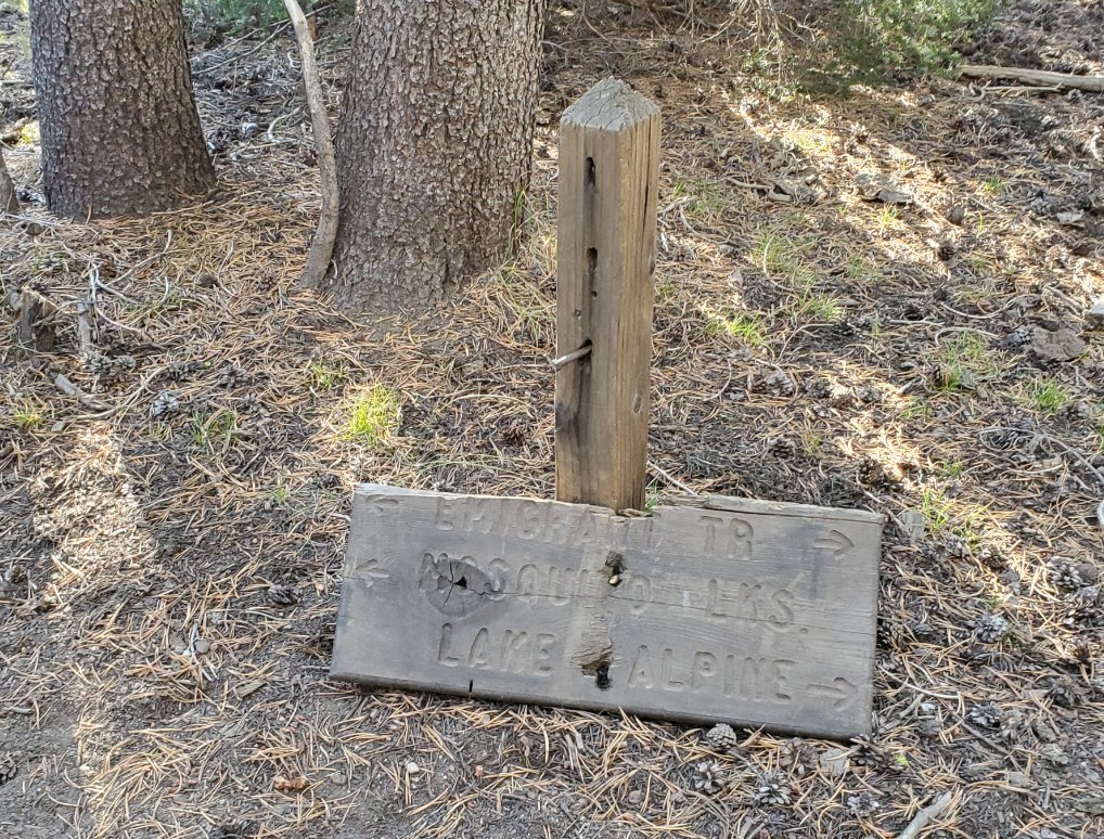
| Hazards of Note: | Finding
the trail from the above coordinates. You can also drive in
further to the Stanislaus Meadow trailhead to be a little closer to the
lake. |
Crowd Factor: | Moderate. This is a well-known route with wonderful lake destination. Not all will do this as a loop and we even met a few backpackers coming in from Heiser Lake the previous evening. | ||
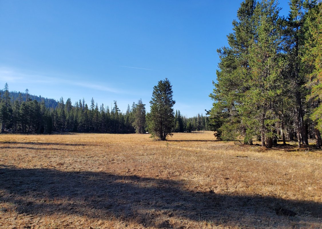
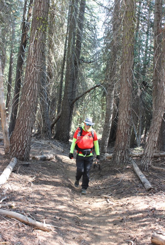
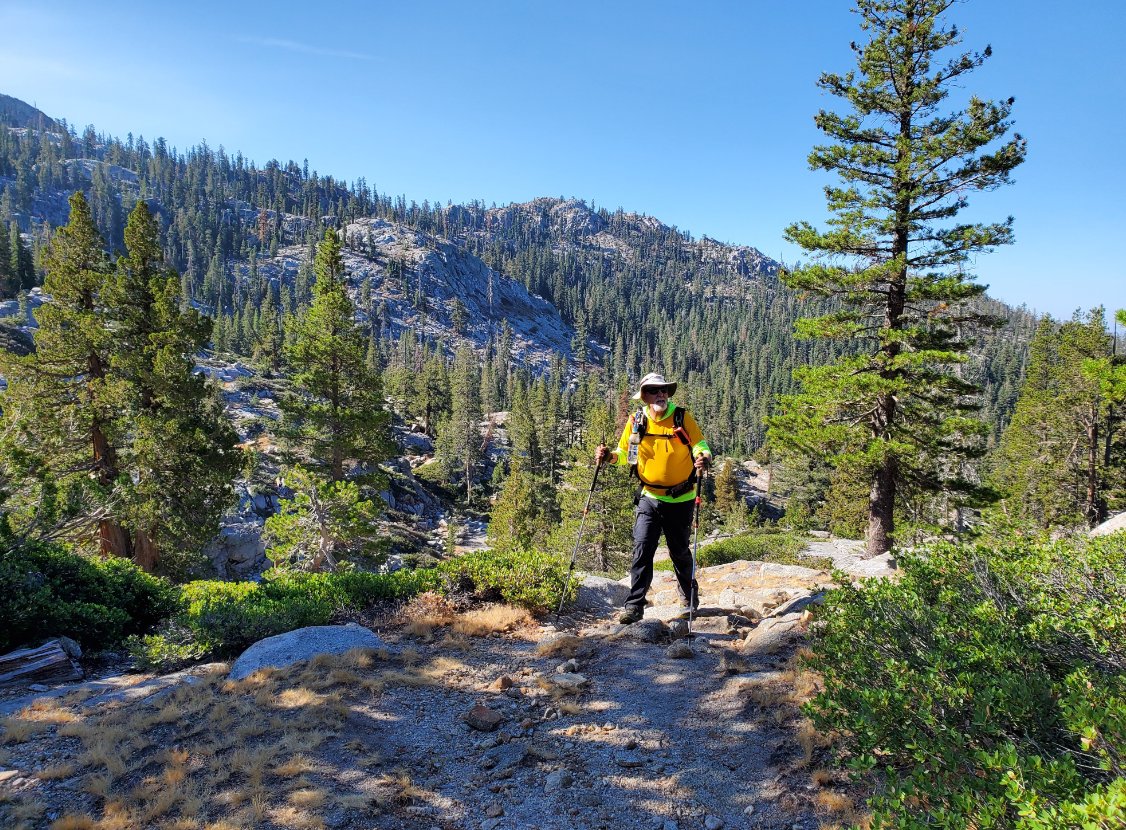
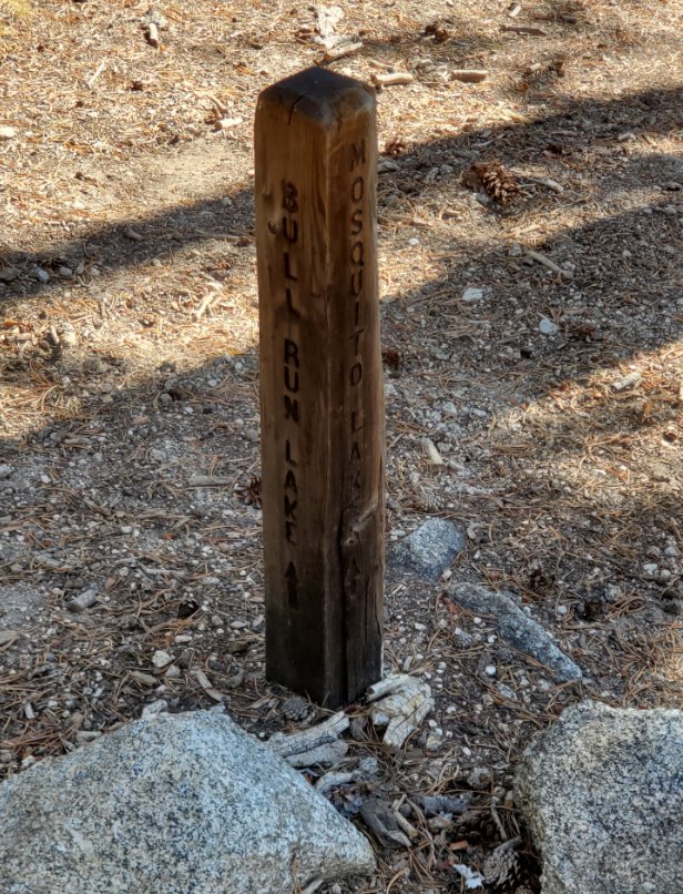
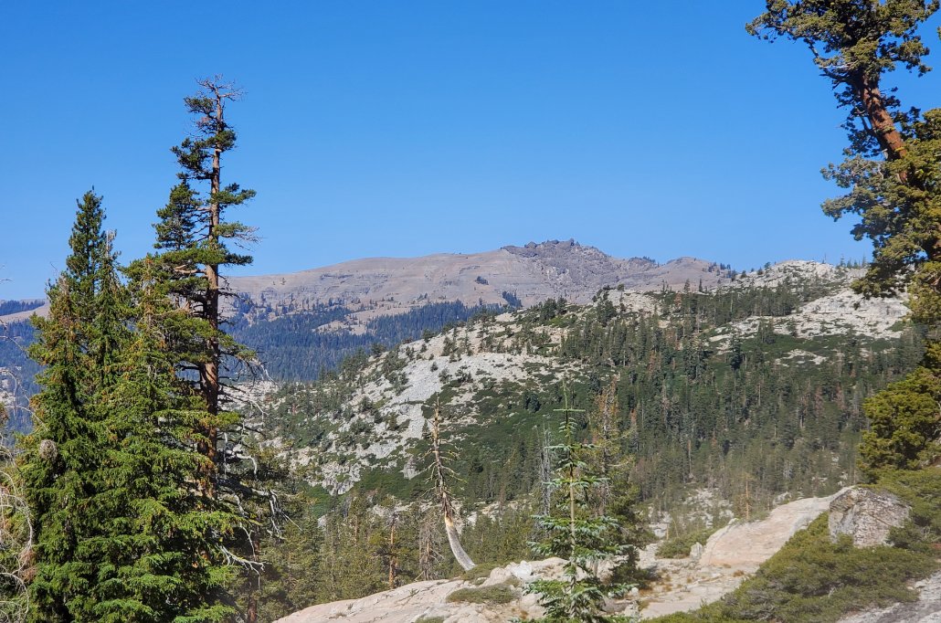
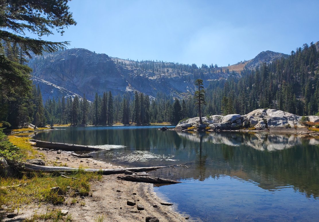
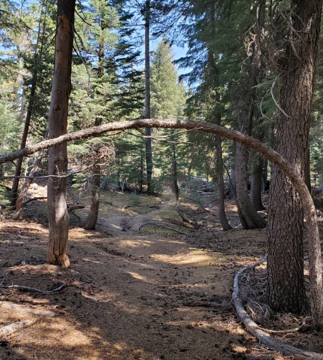
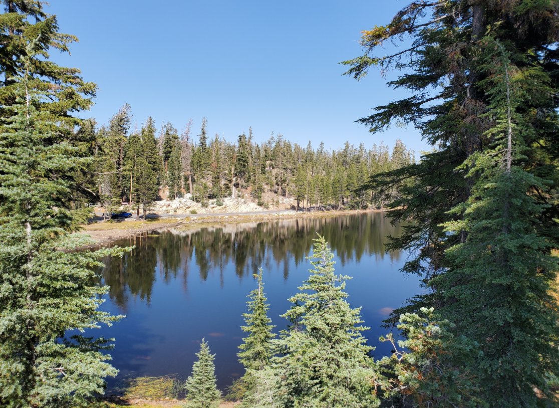
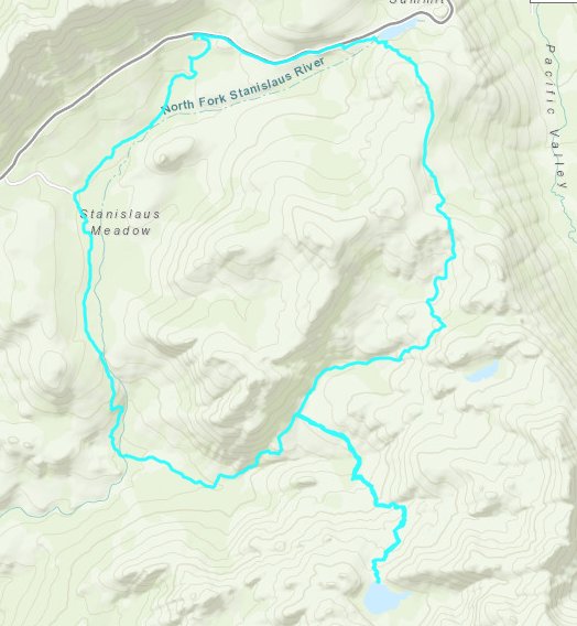
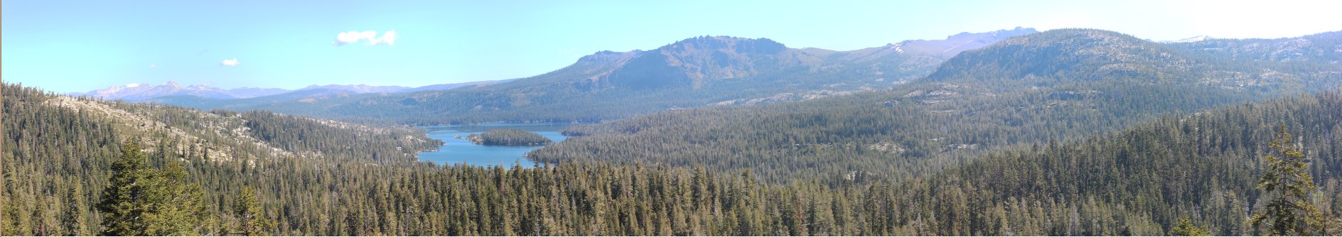
| General Notes: From the parking area near the along Highway 4, head south past a small sign that points to the Sandy Meadow Trail the other way. You can following along the dirt road here or find a path that heads toward Stanislaus Meadow. This path follows the fence for much of the first mile, and once we got into the area of the Stanislaus Meadow parking, we had to find a place to squeeze through the barbed wire without injuring ourselves. Much. The early part of trail is mostly downhill, but after the 2 mile point it begins to climb significantly. Over the next 2 1/2 miles you will gain over 1000' of elevation before you top out near the destination lake. There is a signed junction about 3/4 of a mile before the lake that you will want to take to the right, continuing south. Be sure to look behind you as you make this final climb up to Bull Run Lake, to see great views to the north of the Mokelumne Wilderness, Wheeler Ridge directly across Highway 4 from you and even some glimpses of Mokelumne Peak, Round Top and the Raymond/Reynolds peak area. After heading back from the lake take a right at the previous junction, heading toward the Heiser Lake junction about another mile ahead. We decided to forgo this destination on the day, as it was smaller and shallower than Bull Run and another mile added to the loop was not in the cards for the day. There is a surprising amount of uphill left to gain, as you drop a bit leaving Bull Run and then gain it all back climbing up the ridgeline before dropping back down towards the Mosquito Lakes. From here we decided to walk the road, as the trail heading back to the parking area cuts south a significant way and we would have had another 1/2 mile more than our route to get back to the start. |
|||||