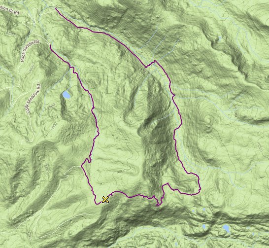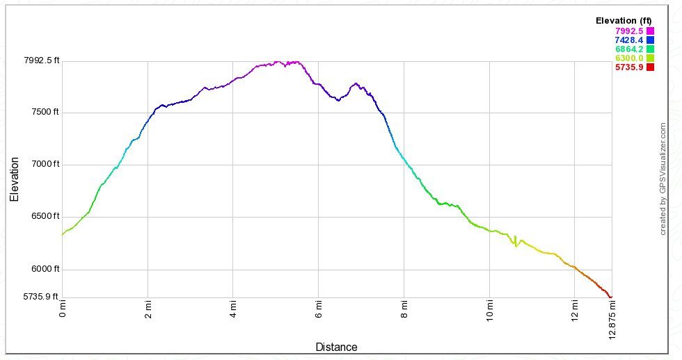
Distance: 12.8 Miles
Vertical Gain: 1700'
Group Size: 4
Hike Rating: Easy Moderate Hard Strenuous

 See
video of hike
 GPX
for
this trip
| Start Coordinates: | N 38 46.420, W 120 08.905 | End Coordinates: | N 38 46.412 W 120 08.902 | ||
| Car Shuttle Req'd: | Yes, unless you wish to add 1 1/2 mile of road walking from the end to the beginning area. | Parking Directions: | Take
Highway 50 to 42 Mile Tract Rd. Turn south, and then turn
right quickly on Strawberry Creek Rd. Drive approximately 3/4
of a mile to the parking area for the end coordinates. To get
to the beginning coordinates, continue 1 3/4 miles further up the road
to the parking area for the hike. |
||
| Hazards of Note: | Some route finding on the
beginning of the hike, and creek crossings during early spring and high
water times. |
Crowd Factor: | Negligible. There is
very little use of the beginning of the hike, although there was
evidence of bike tracks and an organized trail run earlier in the
summer along the route. |
||
| General
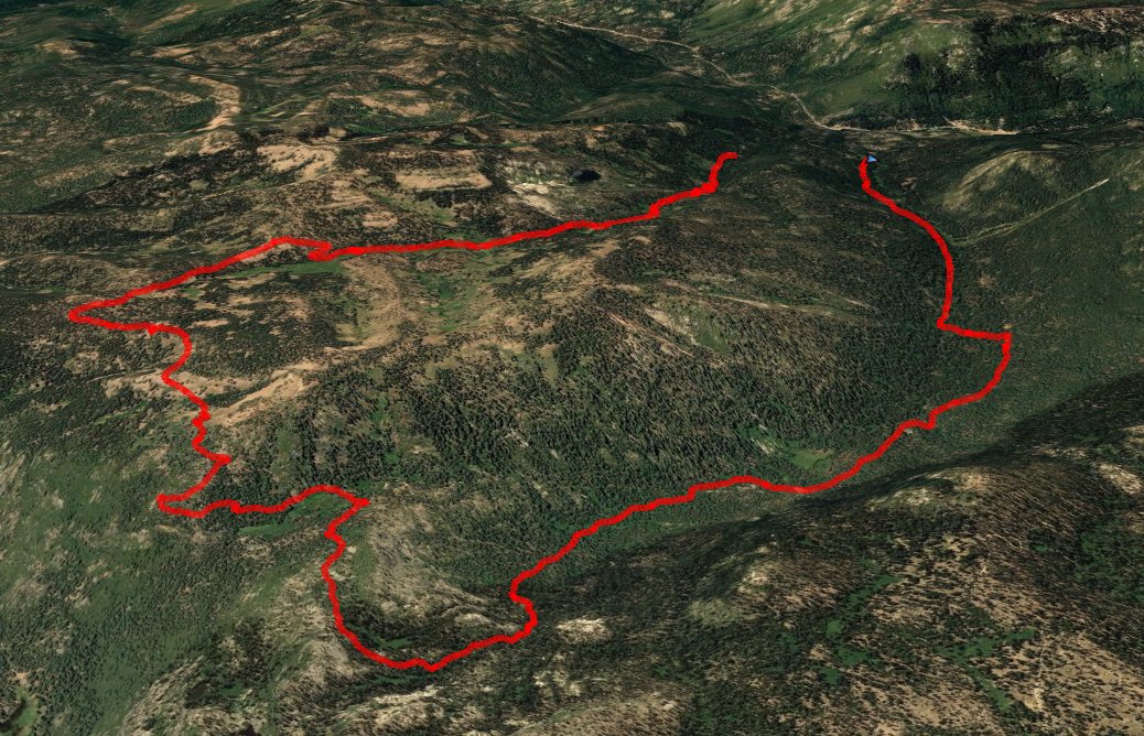
Notes: From the parking area, head along a dirt road for a little over a half mile, until the trail turns into a single track trail for the section all the way to Cody Meadow. There is a hand-made sign pointing to the right which will head on up toward Cody Lake, the site of a boy scout camp. Continue on the main trail until you reach the beginning of Cody Meadow, which the trail will pass through until the end of the meadow where an old, abandoned winter cabin still resides. From this point you will pick up a dirt road, and head along it until it intersects with Cody Meadow road. Head to the left toward the Southeast, and follow the Buck Pasture trail for the next couple miles which offers some spectacular views of the Carson Pass mountains to the south, high above the Caples Creek drainage area. After about a mile the trail turns sharply east, and continues for another mile. Stay right at the junction for a trail off to the right, as this just heads to the top of a knoll. Buck pasture is in another 1/2 mile, and then past that turn left at the trail junction, following the way to Strawberry Canyon. The other direction will take you to Schneider Cow Camp, another 4-5 miles ahead. The last part of the hike up Strawberry canyon is mostly along a 4WD jeep road, with limited views along the way. Crossing the creek at a safe point will get you to the end coordinates and shave off at least a mile from just continuing up the road the entire way. |
|||||
