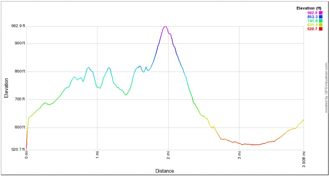
Distance: 5.3 Miles (6.0 miles for the longer version)
Vertical Gain: 850'
Group Size: 1
Hike Rating: Easy Moderate Hard Strenuous
 GPX
for
this trip
GPX
for
this trip
GPX
for
this trip
GPX
for
this trip
| Start Coordinates: | N 38 37.470, W 121 02.873 | End Coordinates: | Same as start coordinates | ||
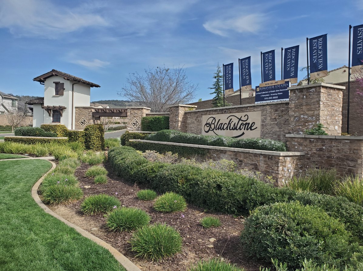
| Car Shuttle Req'd: | No | Parking Directions: | Take Latrobe Rd south of Highway 50 to the Clubhouse Dr. entrance to Blackstone on the east (left) side. Turn right on Blackstone Parkway at the stop sign and then continue about 3/4 mile until you reach Valley View school on the left. Park in the parking area if school is not in session or you can park along Blackstone parkway just east of Royal Oaks Drive. | ||
| Hazards of Note: | Summer heat, rattlesnakes, ticks, loose footing on some of the trail. | Crowd Factor: | Negligible. Not many people know of, or use this trail, even within the community. | ||
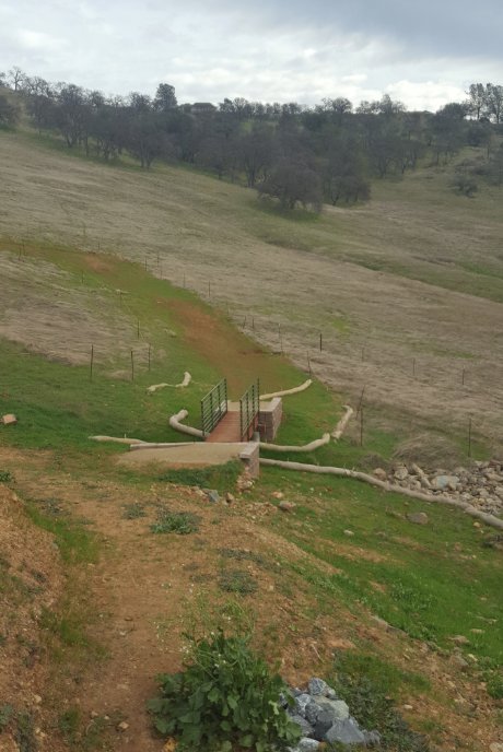
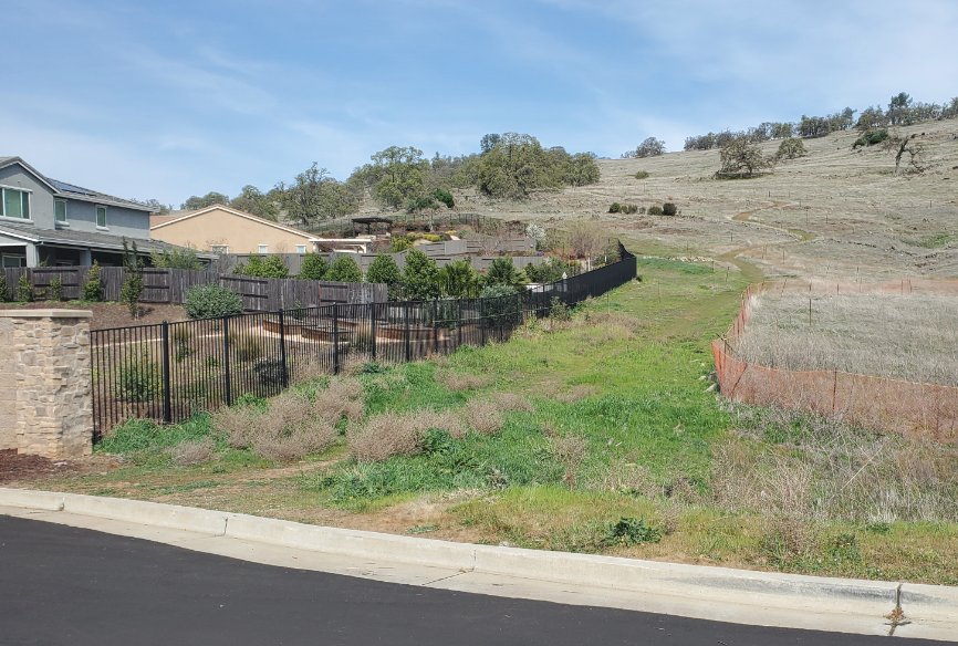
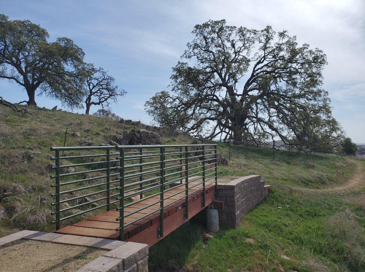
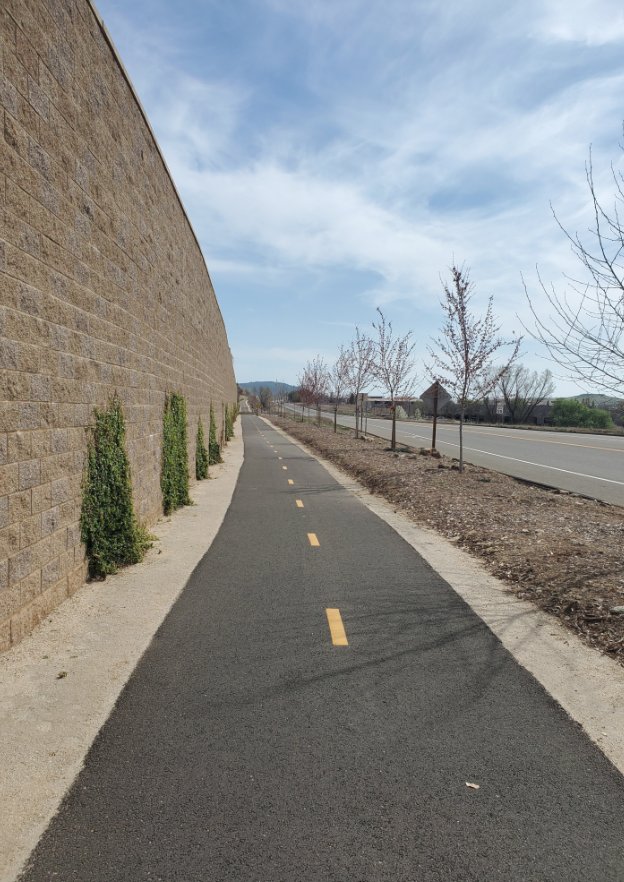
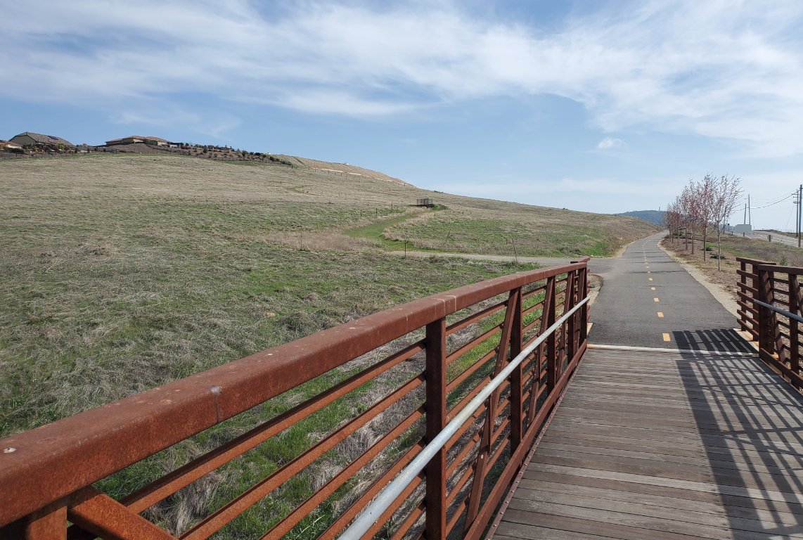
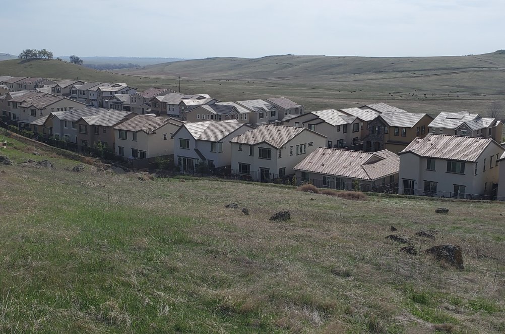
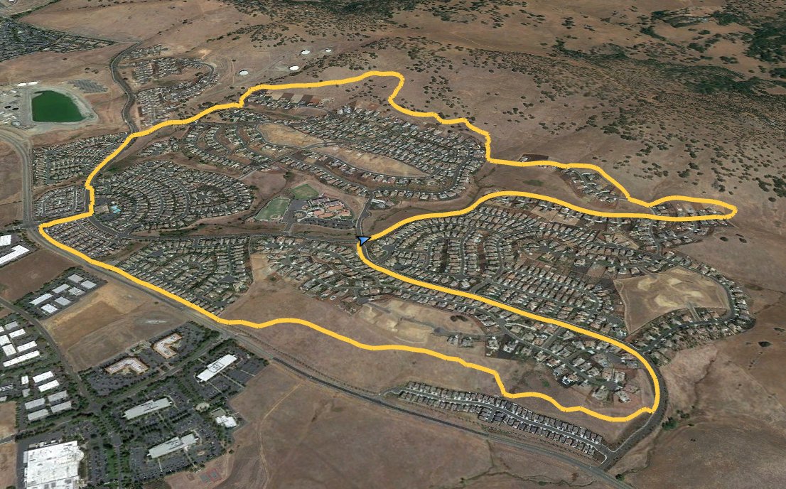
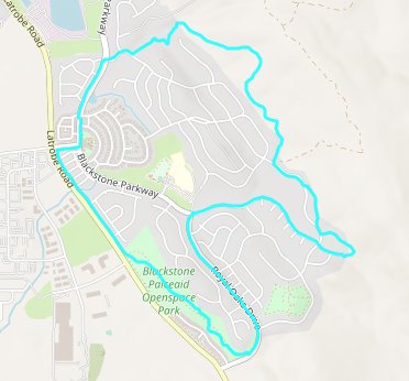
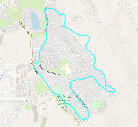
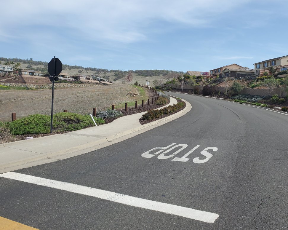
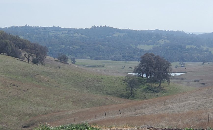
| General Notes: From the parking area, head up Blackstone Parkway toward the hills until you reach Blackstone Court at the end of the pavement. The trail actually starts here, and heads off down a short incline, across one of 13 bridges you will cross on this full hike and then back up for a little bit of elevation gain. After the second bridge you follow the vehicle road for about 300 feet until you reach the trail again at another bridge. From here the trail climbs up and and then drops you back onto the road, this time for about 1/4 mile. Follow along the sidewalk here until you pick up the trail again just before the gated community area along this road (Keystone.) This next section of trail has the most amount of elevation gain, upwards of 400 feet over the next half mile. When the trail drops back down toward the houses follow it to the west, crossing a couple of bridges and then climbing up some wooden steps to pick up the road. Take the road to where it reaches Blackstone Parkway, turn left, and follow this back until you reach Clubhouse Drive. Turn right here, and follow the sidewalk out of the community entrance and pick up the paved bike path on the left. Follow this about 1/2 mile and then just past a large bridge you will head up and pick the dirt trail back up for another mile. The trail will finish up after a bridge and steps take you back to Royal Oaks Dr, which you will follow up and then down for another mile until you find yourself back at the Valley View school parking area. |
|||||