
|
Beebe
Lake Hike
|
|
Trip Date: 07/06/2018
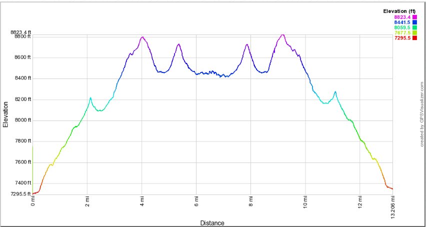
Distance: 13.7 Miles
Vertical Gain:
3000'
Group Size:
1
Hike Rating: Easy
Moderate
Hard
Strenuous |
 GPX
for
this trip GPX
for
this trip
|
|
|
Start Coordinates: |
N 38 38.105, W 120 07.609 |
|
End Coordinates: |
Same as Start Coordinates |
| Car Shuttle
Req'd: |
No |
|
Parking
Directions: |
Take
Highway 88 to the south end of Silver Lake, and turn east onto Plasse
Rd at a big sweeping bend in the highway. Follow this road
about a mile, and then turn right toward Plasse's Resort. You
will pass the resort on the right, and then follow the signs to the
"Stockton Family Camp" all the way to the trailhead parking for Allen
Camp at the listed coordinates.
|
| Hazards of
Note: |
Steep incline on the first
part of the hike. Some sections of the trail require sharp
eyes to follow through the granite areas.
|
|
Crowd Factor: |
Minimal.
This is one of the lesser-known destinations in the Mokelumne
Wilderness and you will most likely run into nobody past Allen Camp (if even to there.) |
General Notes:
From
the parking area head toward the sign which has a listing of some
backcountry information as well as a rough map of the trails in the
area and distances. Head past that sign to the south and find
the trailhead sign for the Allen Camp trail. Follow this
trail as it climbs a significant amount of elevation, about 500 feet in
the first mile. At the 1 1/2 mile spot along the trail there
is a trail junction, with the path to Hidden Lake to the left and the
continuation of the Allen Camp trail up a steep series of switchbacks
ahead. Stay to the right, and for the next 3/4 mile you will
ascend quickly to the ridgeline with a fantastic view of Silver Lake
and the Desolation Wilderness mountains in the distance.
From
this rise you will drop down a little bit to Allen Camp, and pass by a
dilapadated log structure on your right which has already failed on one
side. Continue on this OHV road for another 1/2 mile, and then if
you can spot the unmarked trail directly to Plasse's Trading Post, you
will shave off about 1/3 of a mile to this spot. If you do miss
it, the OHV road will continue along the same general direction, until
you make it to the top of Squaw Ridge. From here you will head
due east along the ridgeline, and after 1/2 a mile you will find the
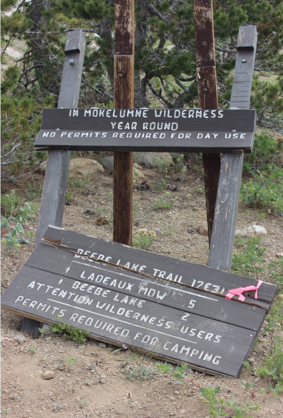
trail for Beebe Lake. (Note that as of 2018 the sign was still
there but had fallen off of it's mount and lay on the ground.)
Follow
this trail for two miles, reaching the spectacular Ladeaux Meadows in
half a mile, and then climb back up past this for the last mile and a
half to the lake. The last 1/2 mile is often on granite, and the
trail is extremely difficult to follow through this location.
Make sure you have a map and compass or a GPS to help with
successful navigation to the lake through this area. |
|
|
From the
parking area, head southwest, avoiding the Stockton Municipal Camp
nearby and follow this sign across a small stream to begin the hike. |
 |
|
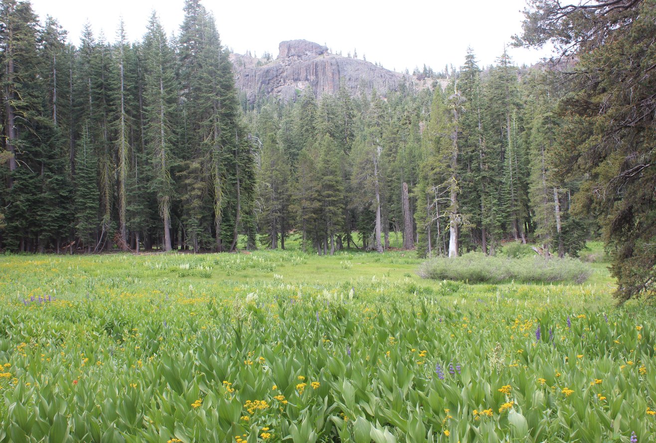
The
beginning of the trail climbs steadily and significantly, but you are
rewarded early on with this small meadow with a view up to the
ridgeline to the west where the Mud Lake Trail toward Allen Camp more
or less parallels this one for most of the way. |
 |
|
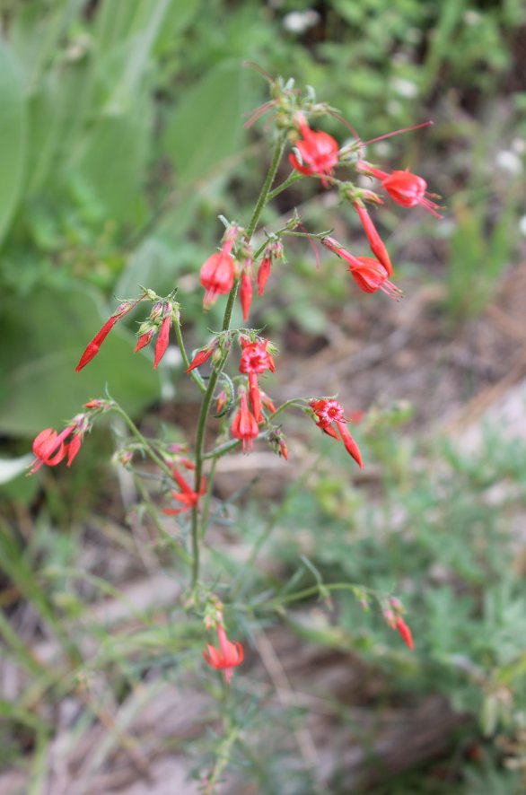
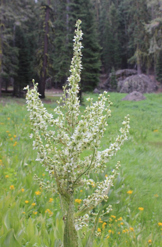
This area
is just bustling with flowers during the spring and summertime,
including these examples of Scarlet Gilia and Cornflower plants. |
  |
|
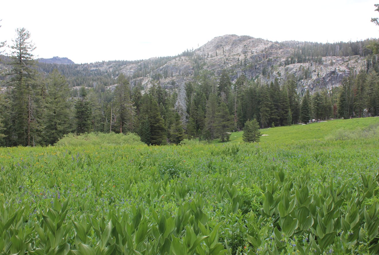
Crossing
through this next meadow you get a glimpse of the granite ridgeline
which we will head up and over on the way to Allen Camp. |
 |
|
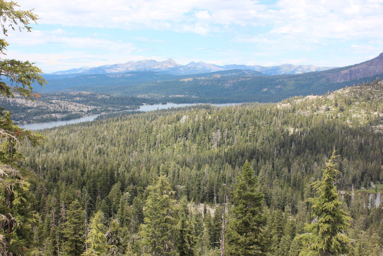
This is
the view northeast toward Silver Lake and Desolation Wilderness that is
the reward for reaching the first ridgeline before dropping down into
Allen Camp. |
 |
|
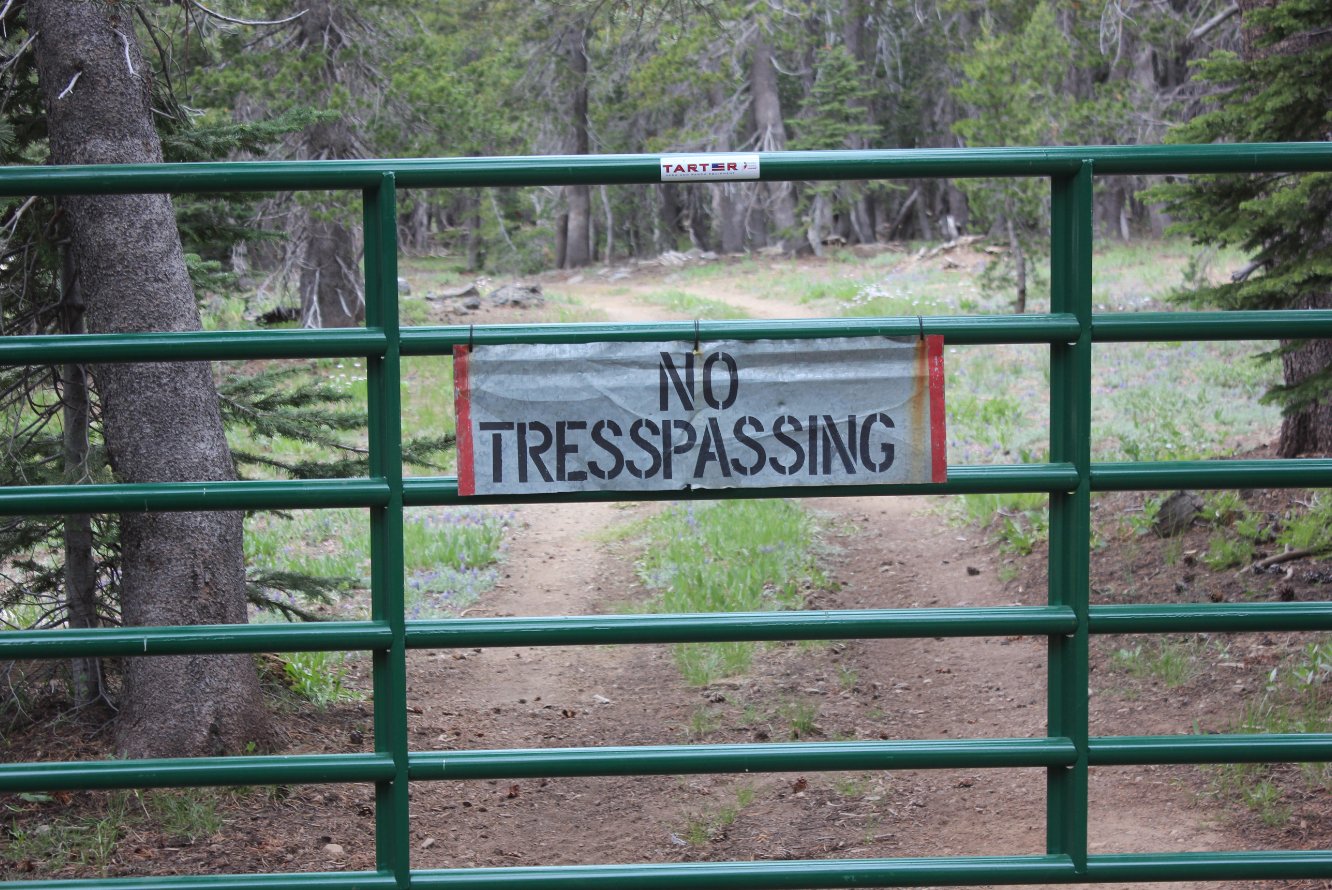
The Allen Camp owners are great with horses but not as good with spelling. |
 |
|
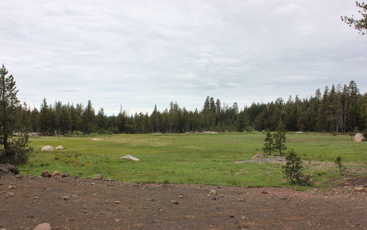
The meadow at Allen Camp. This area is private property beyond the fence just at the spot where this picture was taken. |
 |
|
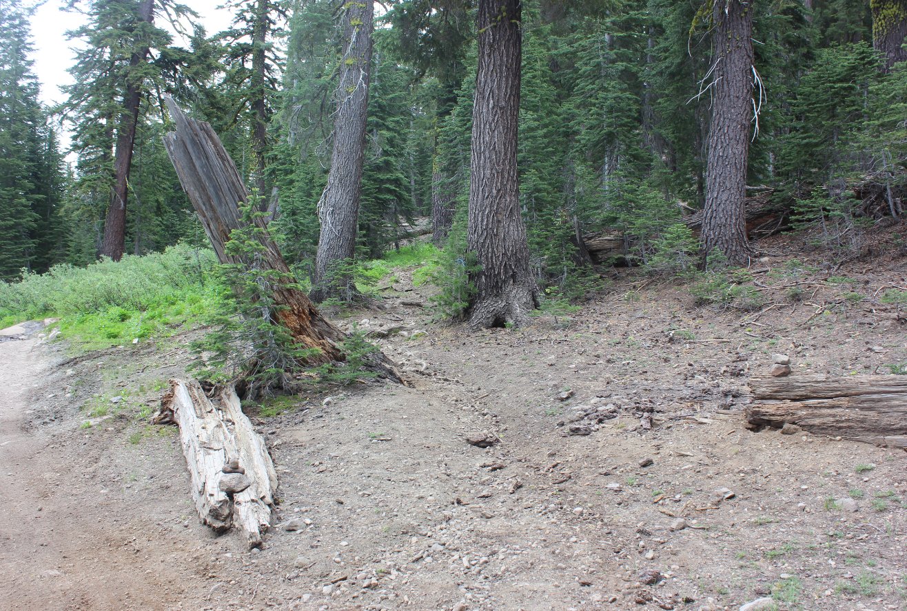
Although
it is a little difficult to see, this is the junction you will take to
the right off of the OHV road past Allen Camp which will cut a good 1/3
mile off the trek to the next ridgeline. |
 |
|
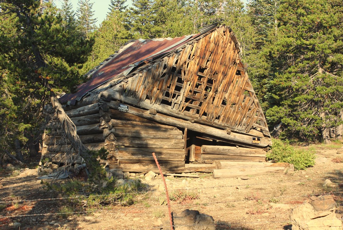
Just
inside the fence at the Allen Camp ranch is this older building which
has failed in the past couple years. Pretty good example of the
weathering the rough winters in this area can have on human structures.
|
 |
|
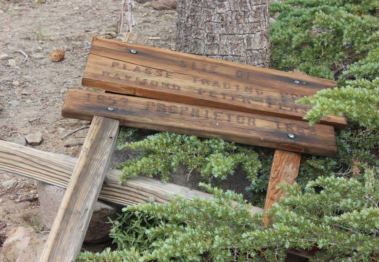
When
first reaching Squaw Ridge, you will find the site of the former
Plasse's Trading Post, and the sign which has fallen into disrepair in
the last couple of years. |
 |
|
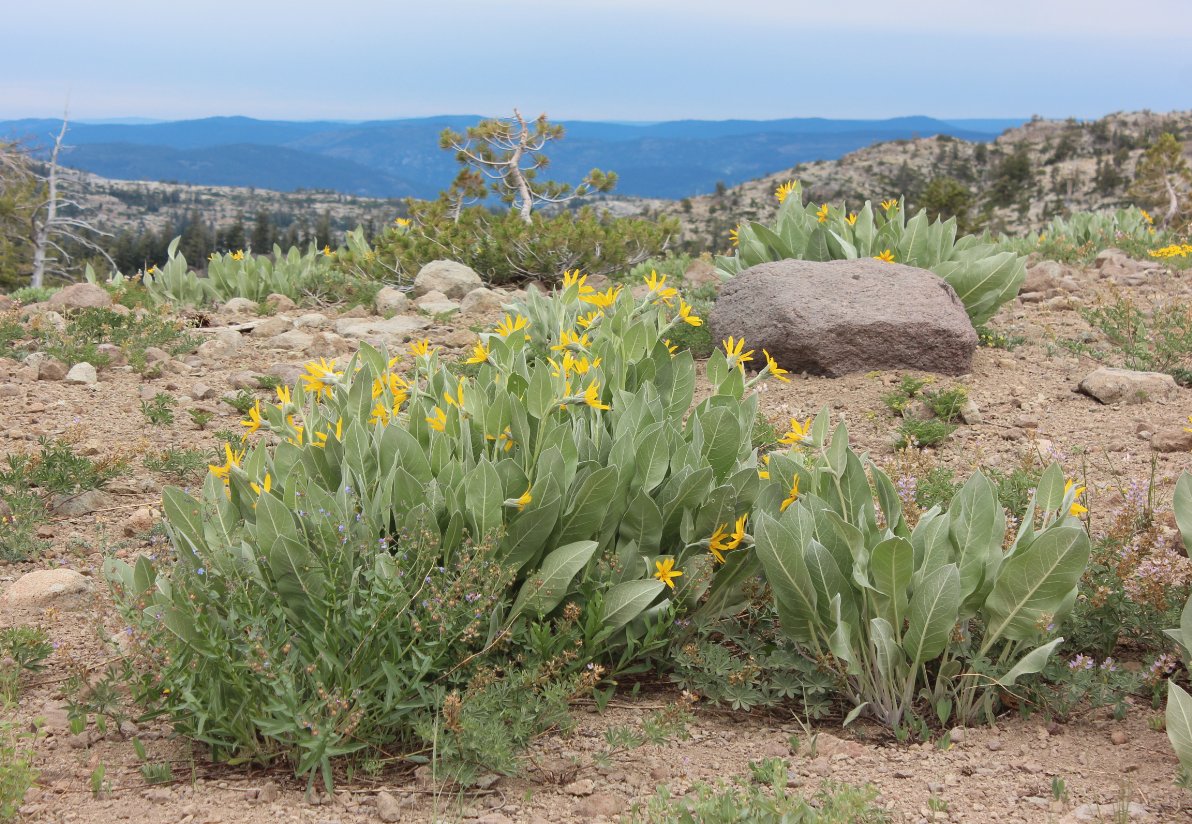
A sample of the view north from the Squaw Ridge trail, with a blooming Mule Ear plant in the foreground. |
 |
|
Look for this sign along the Squaw Ridge trail for the junction south toward Beebe Lake. |
 |
|
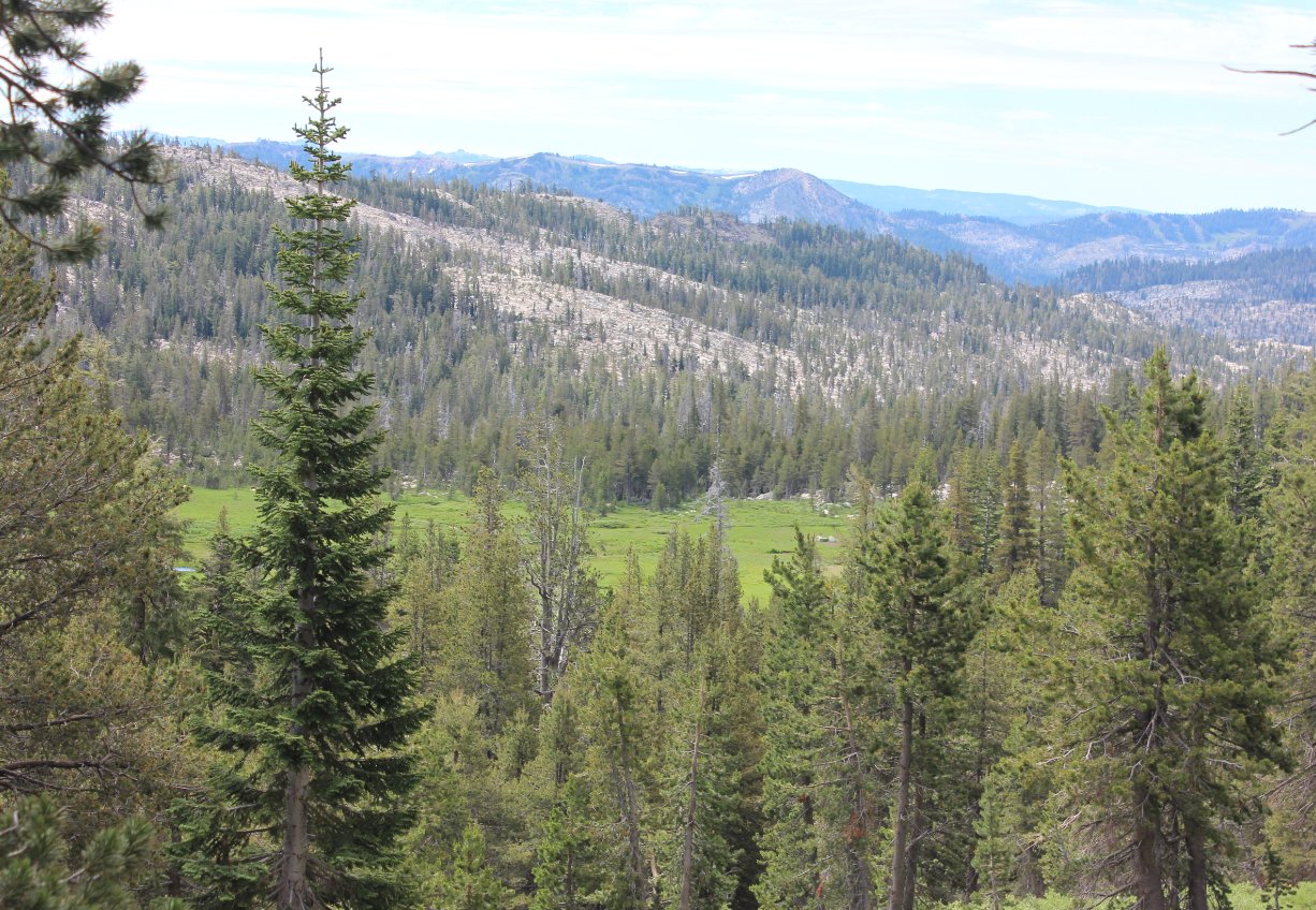
A first glimpse of the upcoming Ladeaux Meadow, a spectacular location along the way to Beebe Lake. |
 |
| Dropping down from Squaw Ridge the trail becomes a little obscure but passes right through Ladeaux Meadow. | 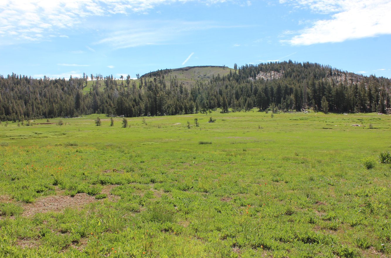 |
| Just
at the far end of the meadow recent bear prints followed along the
trail, and they were pretty large compared to my size 13 boots. | 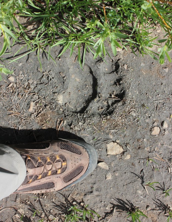 |
| Past
the meadow you climb another significant ridgeline, but at the top the
reward this time is the amazing view all the way to Ebbetts Pass to the
south. | 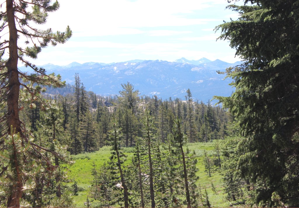 |
| After
successfully navigating the last 1/2 mile to the lake, not an easy
task, you finally reach the serene setting of Beebe Lake. | 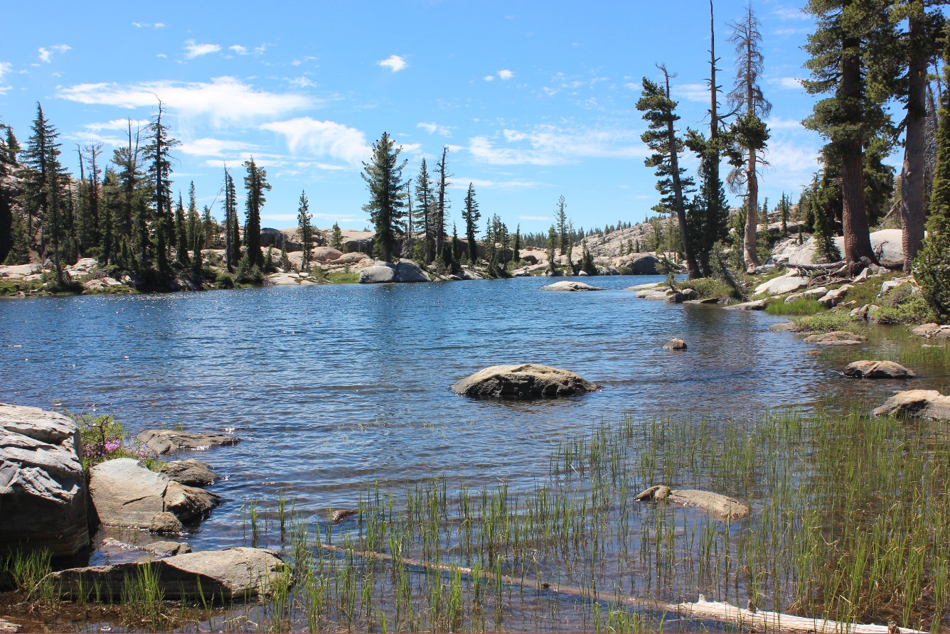 |
| Looking
across the lake to the south, the boulders there with what looked like
a possible dropoff seemed inviting for a possible view. Was this
ever the case!! | 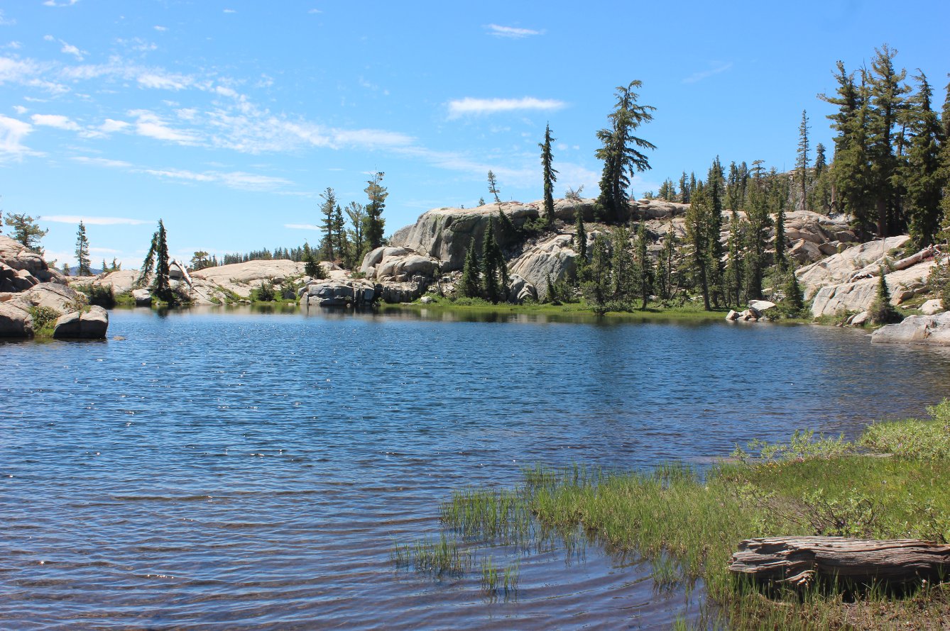 |
| After
climbing the rocks at the south end of the lake, this incredible view
made the effort completely worthwhile. This remote canyon, with
the Camp Irene area in the distance used to be the main way to travel
between Lake Tahoe and Yosemite before the PCT was created. | 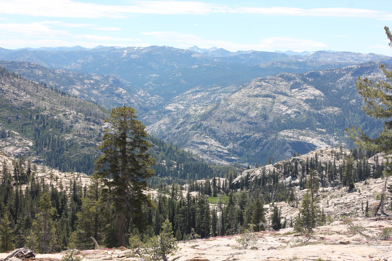 |
| The other payoff for making this trek to the far end of the lake was this view of Beebe looking back north. Spectacular! | 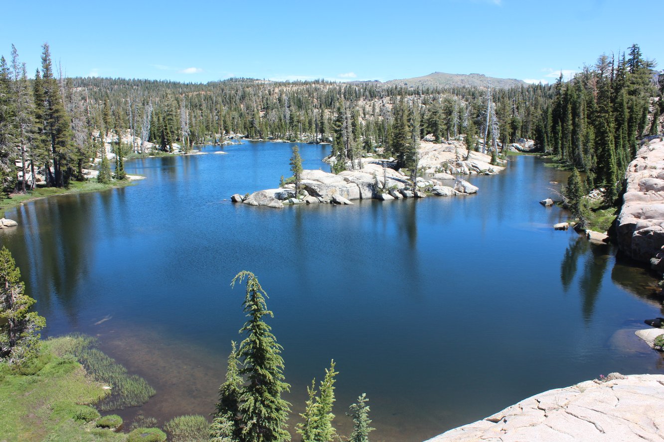 |
| This afternoon cloud formation over the ridgeline ahead on the way back was fascinating. | 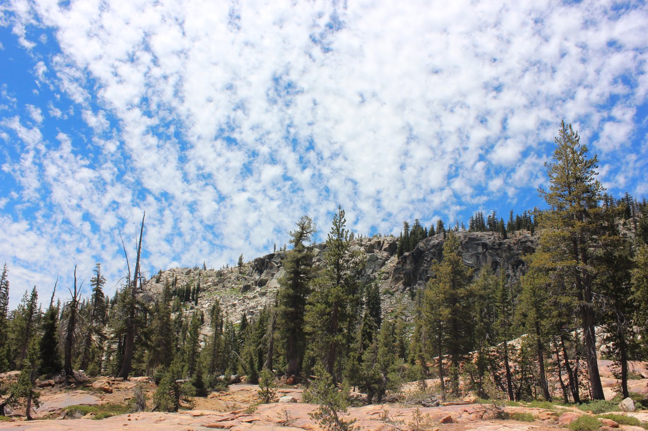 |
| Keep
a close eye out on the way back and you will have a quick opportunity
to glimpse the back of Round Top Mountain further to the east. | 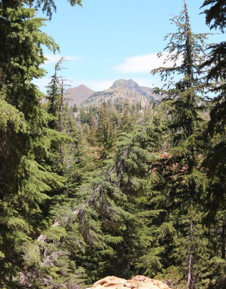 |
| A
couple more examples of the amazing array of flowers found on this
hike, including this Monkeyflower and what may be a variety of mountain
orchid. | 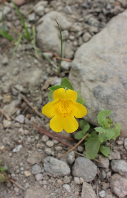 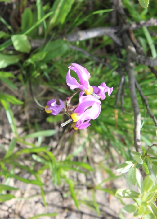 |
|
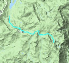
GPS Track of the full hike,
with Beebe Lake in the bottom right. |
 |


 GPX
for
this trip

