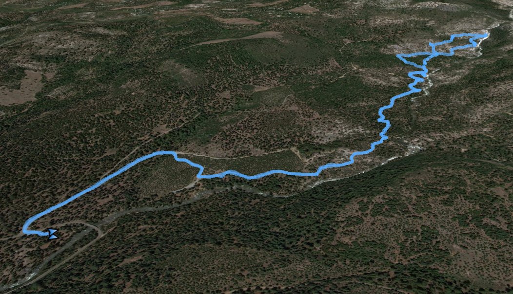
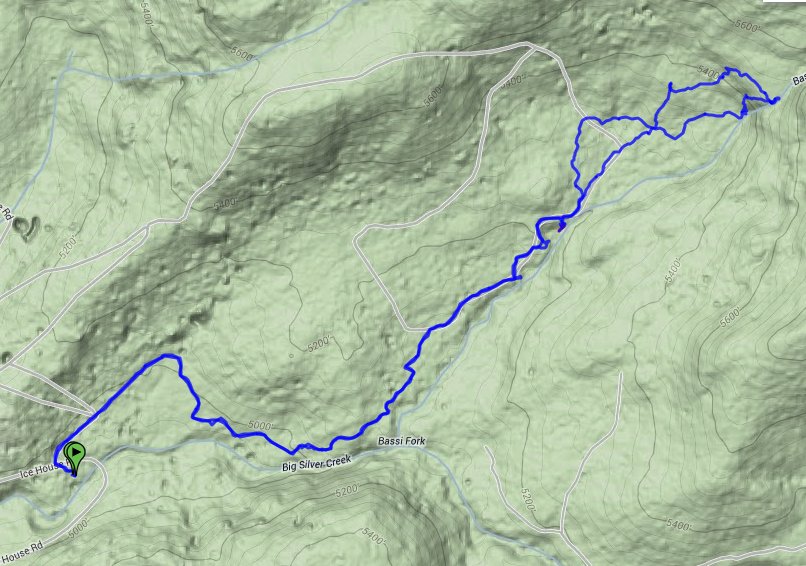
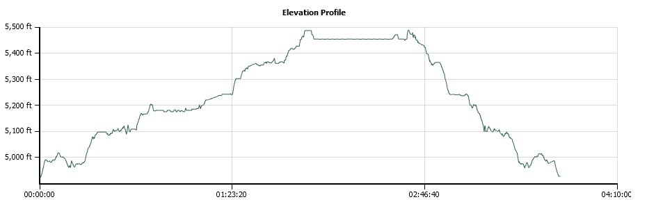
Distance: 6.0 Miles
Vertical Gain: 600'
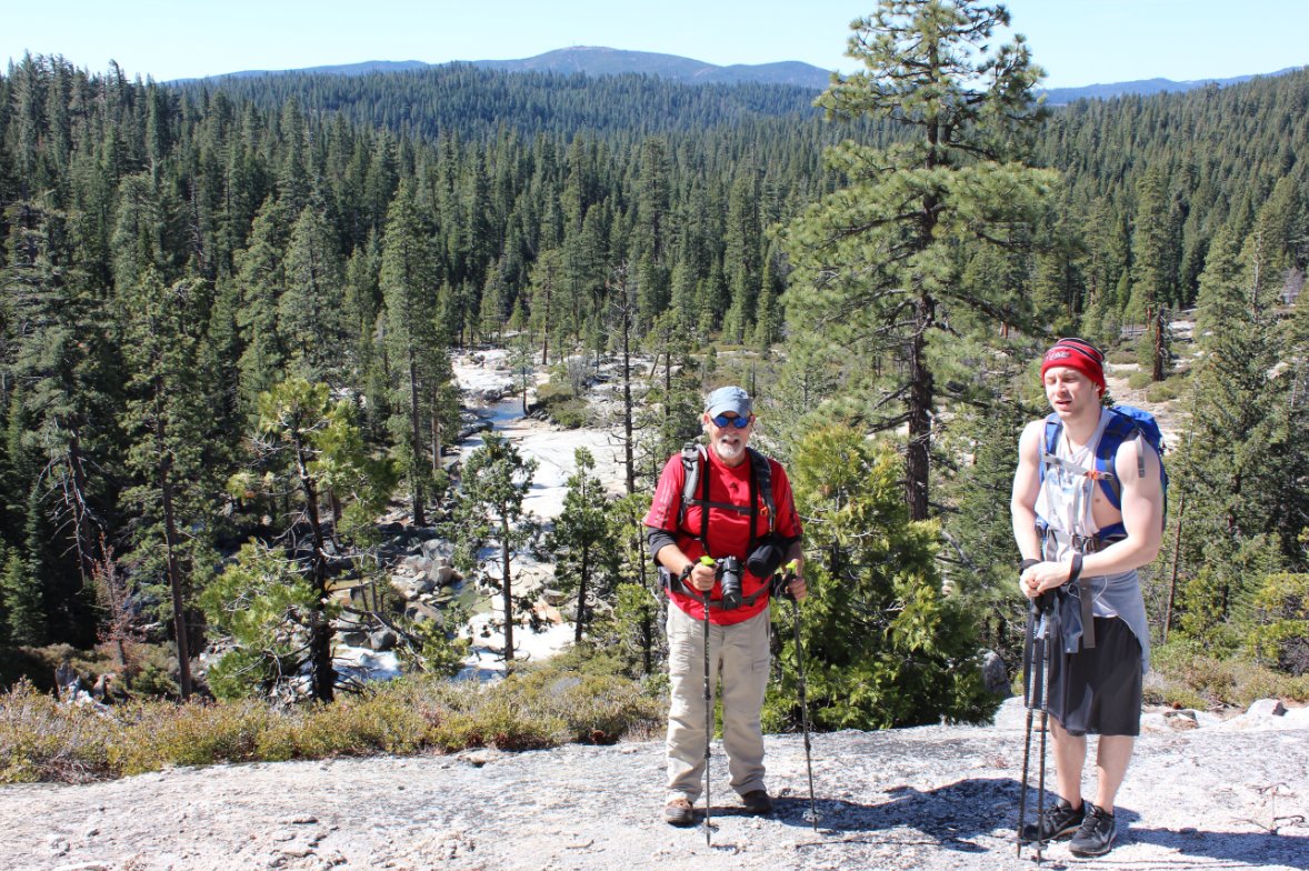
Group Size: 3
Hike Rating: Easy Moderate Hard Strenuous
 GPX for
this trip
GPX for
this trip
| Start Coordinates: | N 38 52.826 W 120 21.646 | End Coordinates: | Same as Start Coordinates | ||
| Car Shuttle Req'd: | No | Parking Directions: | Take Highway 50 to Ice House Road. You will pass Ice House reservoir and park at a small lot about 15 miles along Ice House after a tight turn to your left. | ||
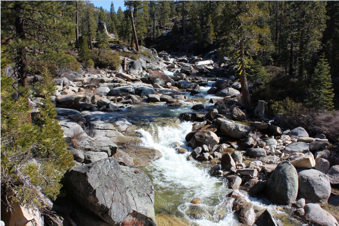
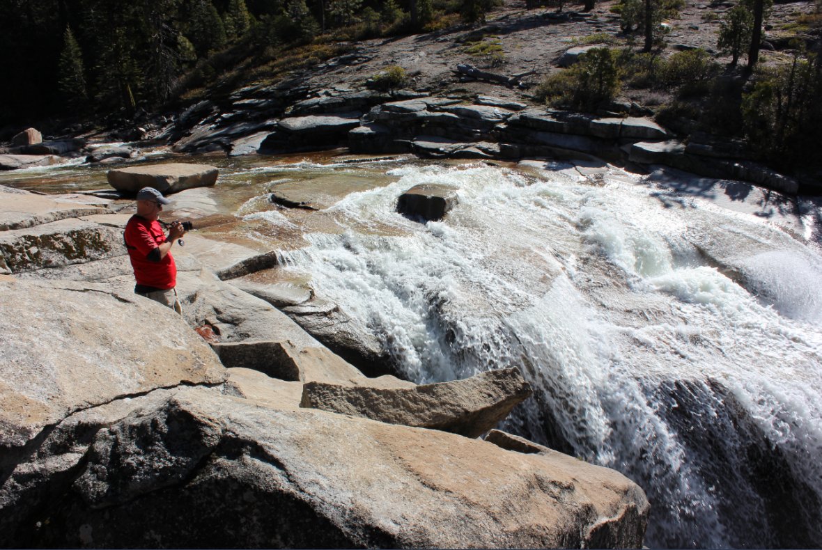
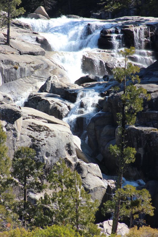
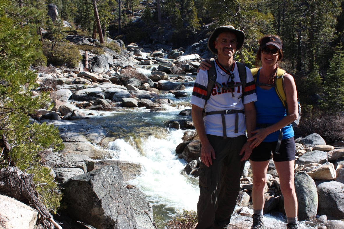
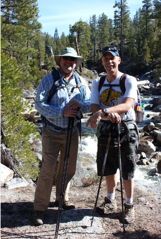
| Hazards of Note: | Wet, slippery rocks along the
river. Cross-country hiking required to get to the top of the falls. A long drop-off if hiking to the top of the falls. |
Crowd Factor: | Very busy on weekends. There is a parking area only 3/4 mile from the waterfall which many people use to get to this location. | ||
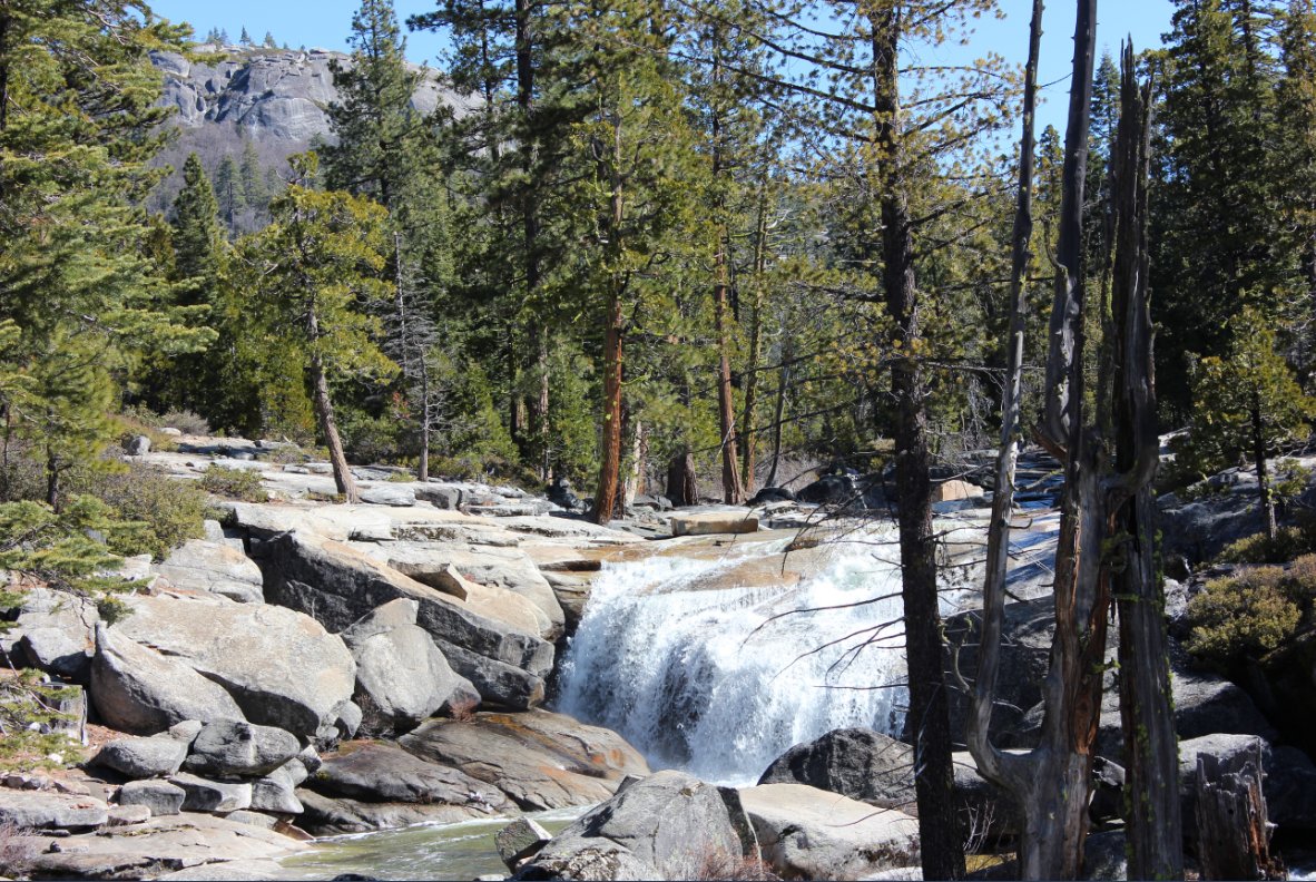
| General Notes: Cross the road from the parking area and begin heading up the dirt road toward the falls. You will bend to the right after about 4/10 of a mile, and then look for the small sign on your left another 2/10 of a mile that is the start of the actual trail. If you get to the camping area you have missed it and need to go back and look again for the trail. The entire way there are relatively new markers in the trees to guide you along the trail. About a mile and a half along the way is a nice viewpoint off to the right with the falls visible in the distance ahead of you. |
|||||