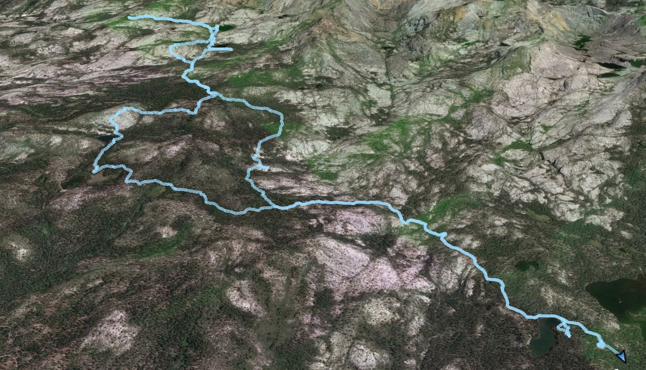
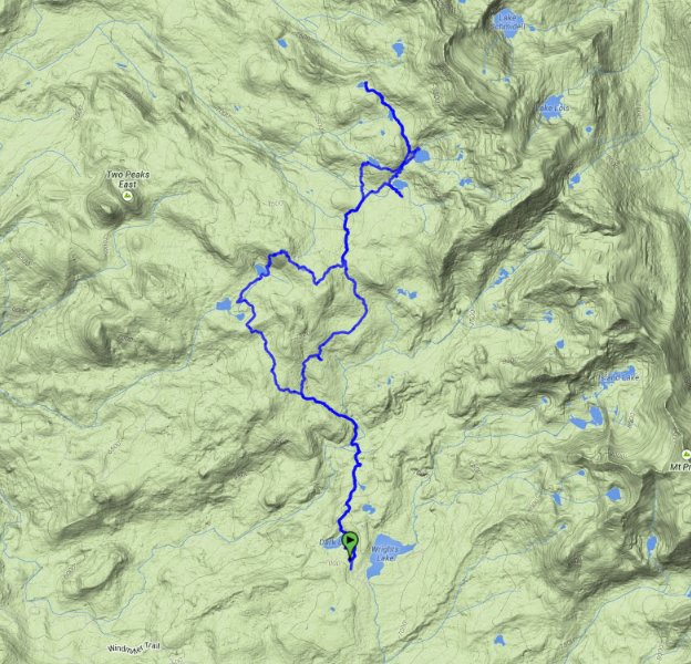
Distance: 18.0 Miles
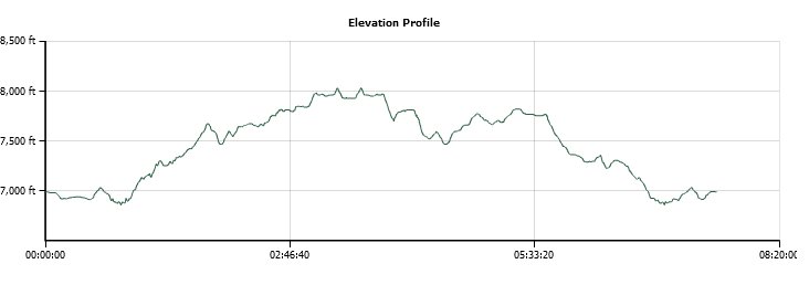
Vertical Gain: 1200'
Group Size: 1
Hike Rating: Easy Moderate Hard Strenuous
 GPX for
this trip
GPX for
this trip
| Start Coordinates: | N 38 50.878 W 120 14.375 | End Coordinates: | Same as Start Coordinates | ||
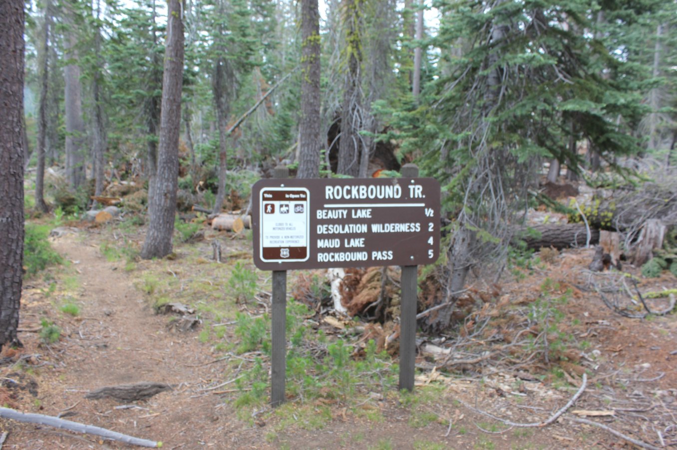
| Car Shuttle Req'd: | No | Parking Directions: | Take Highway 50 to Wrights Road. Turn north, and drive 8 miles to the entrance of Wrights Lake area. Continue north at the park entrance toward Dark and Beauty Lake. Follow the signs to the trailhead parking for Rockbound Pass at the coordinates listed above. | ||
| Hazards of Note: | Barrett Jeep trail is dusty and very dry. Little water along the trail. | Crowd Factor: | With
the jeep trail currently closed to jeep riders, the number of people on
the trail is minimal. Once into Desolation Wilderness from
this
area there will be little to no other people. There is a private resort area just west of Pearl Lake, which has a caretaker there year round. |
||
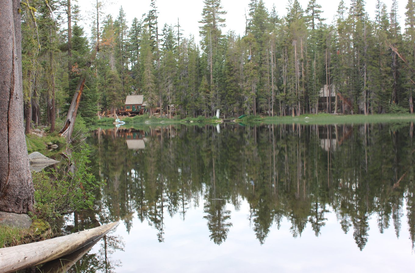
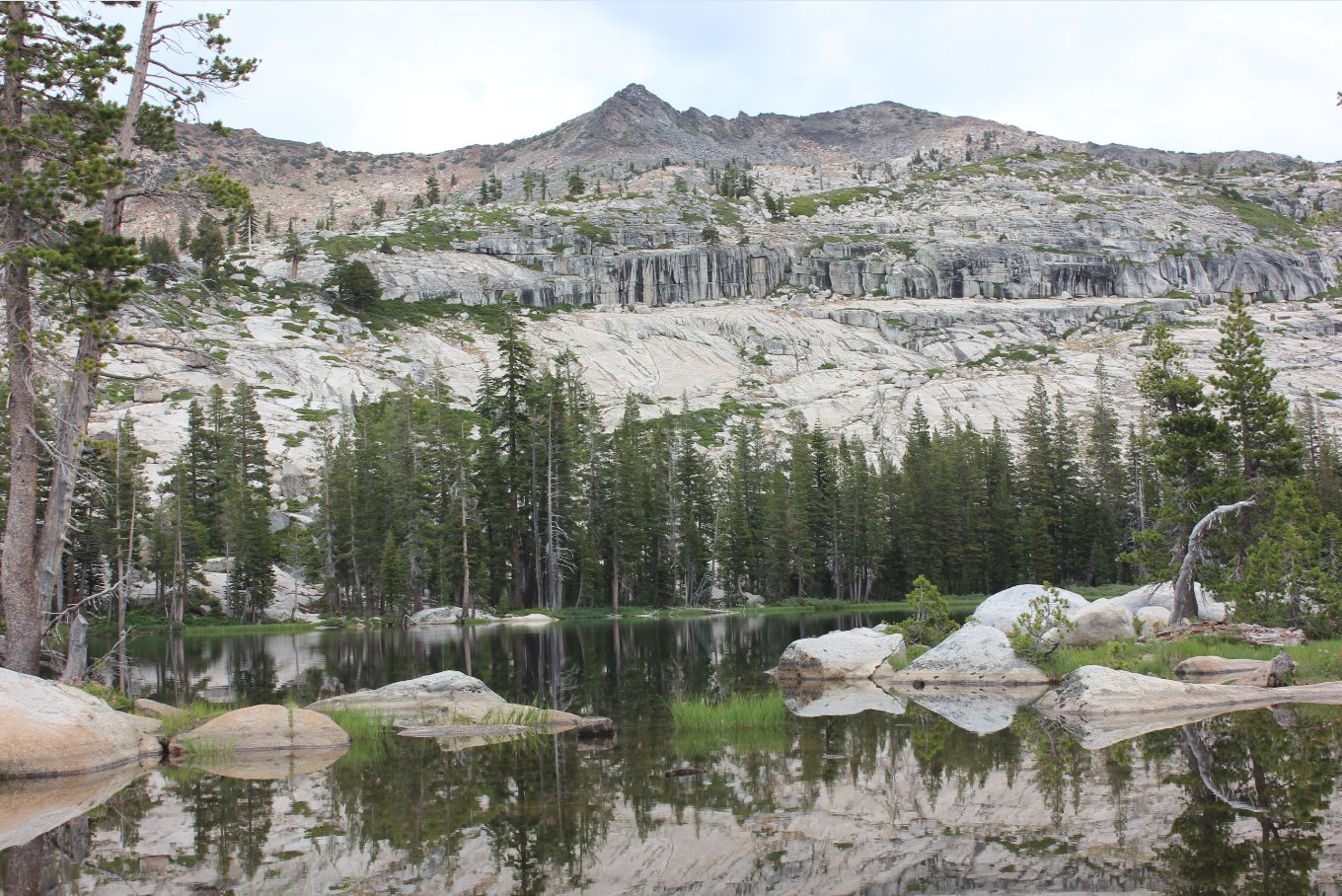
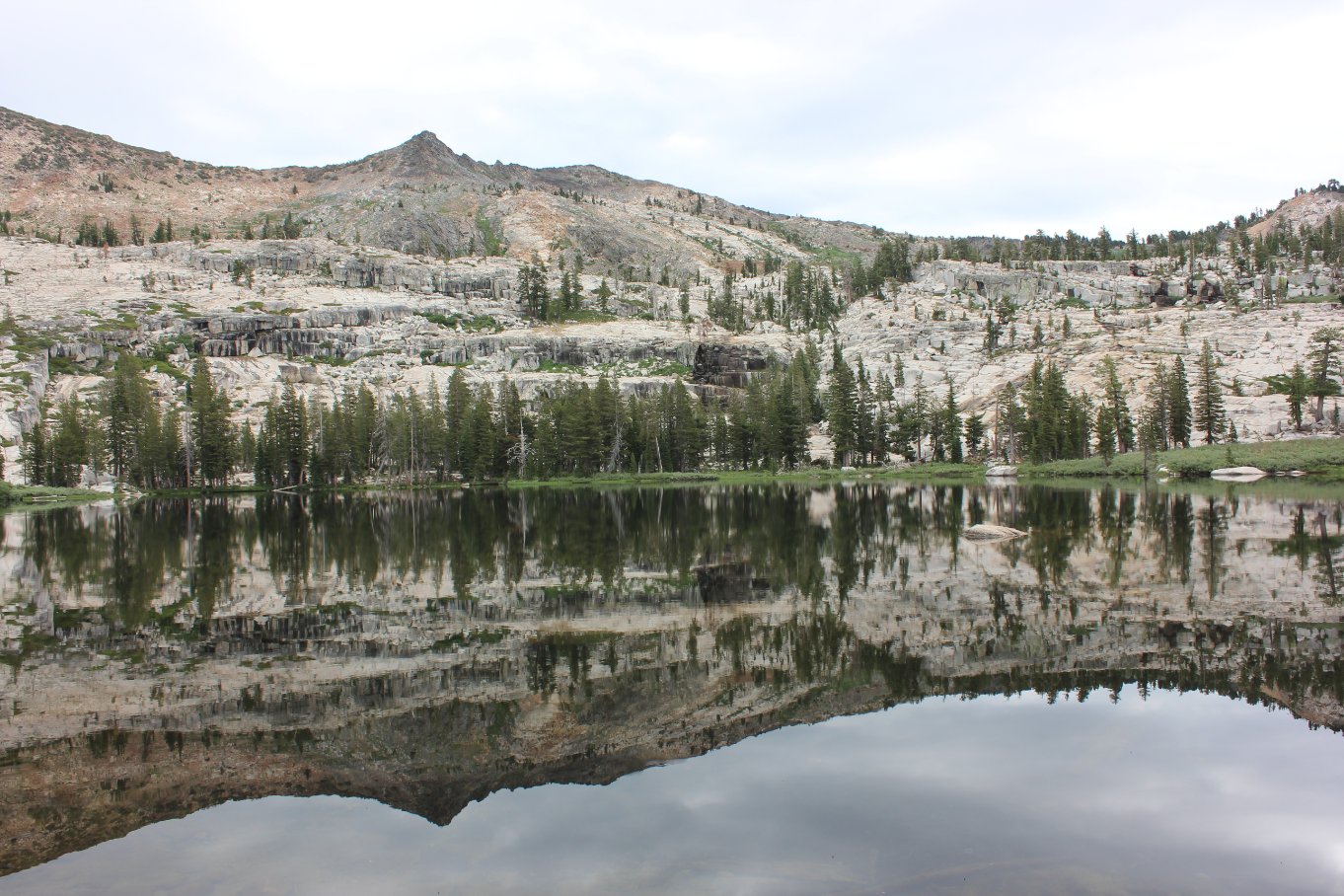
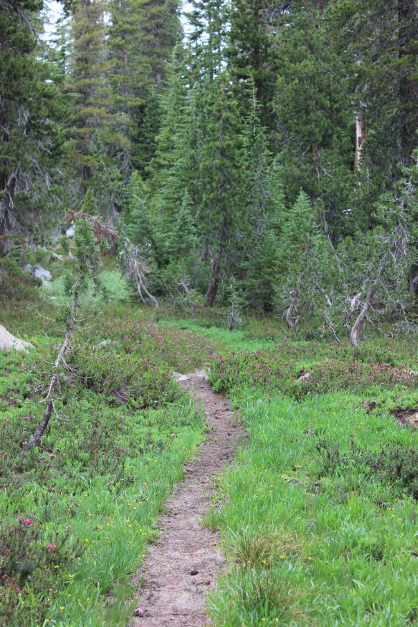
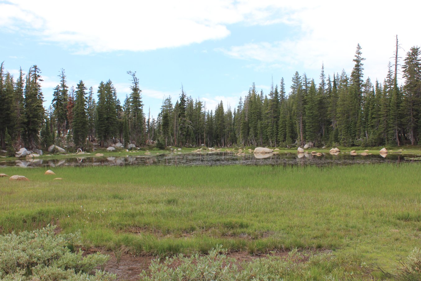
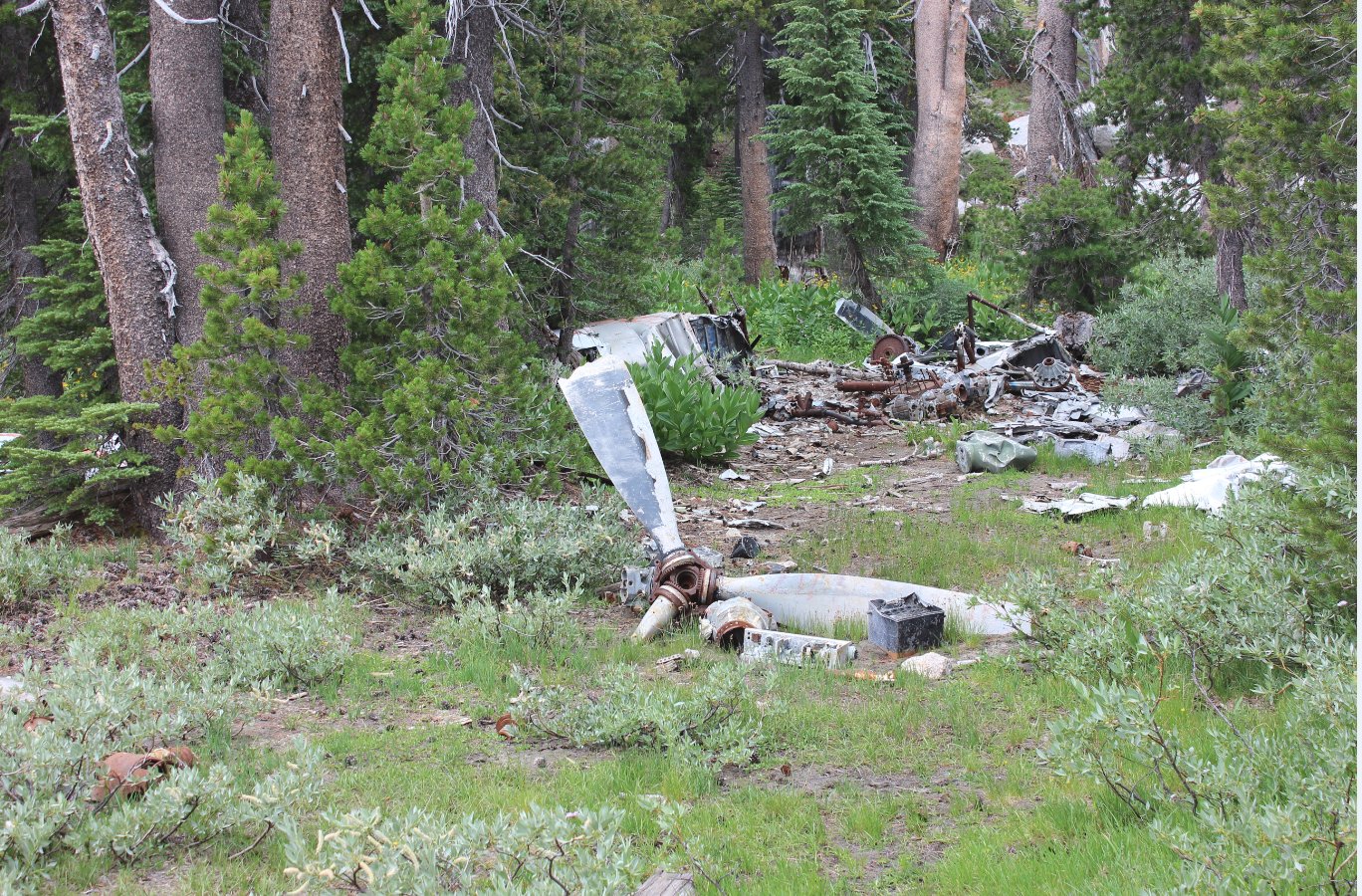
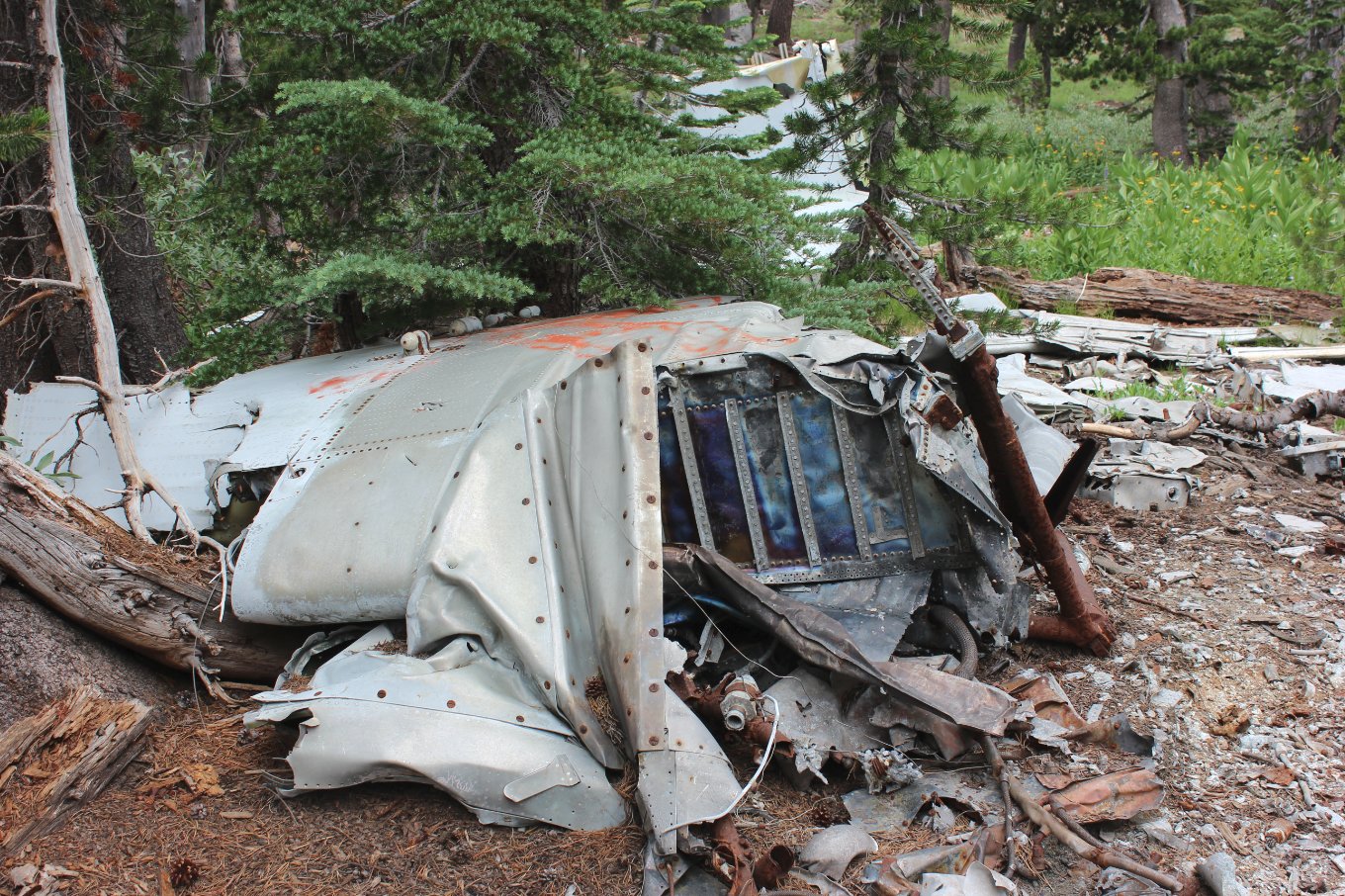
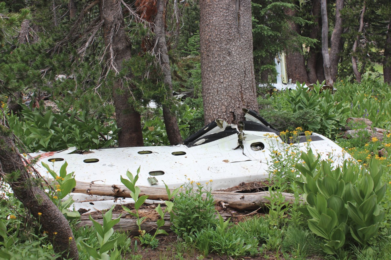
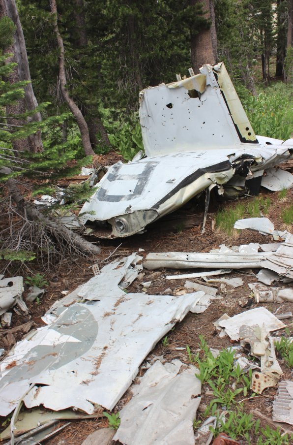
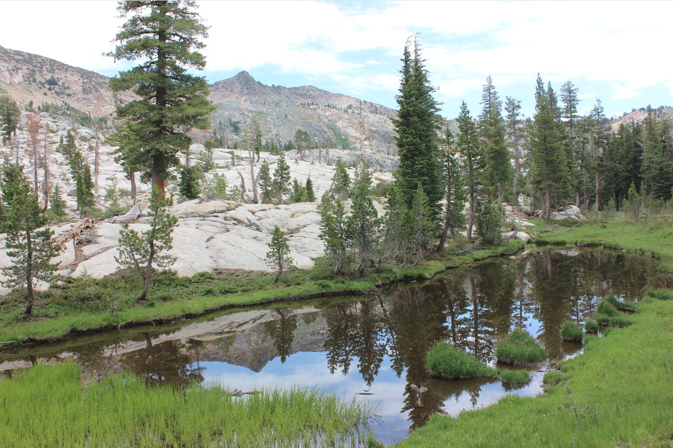
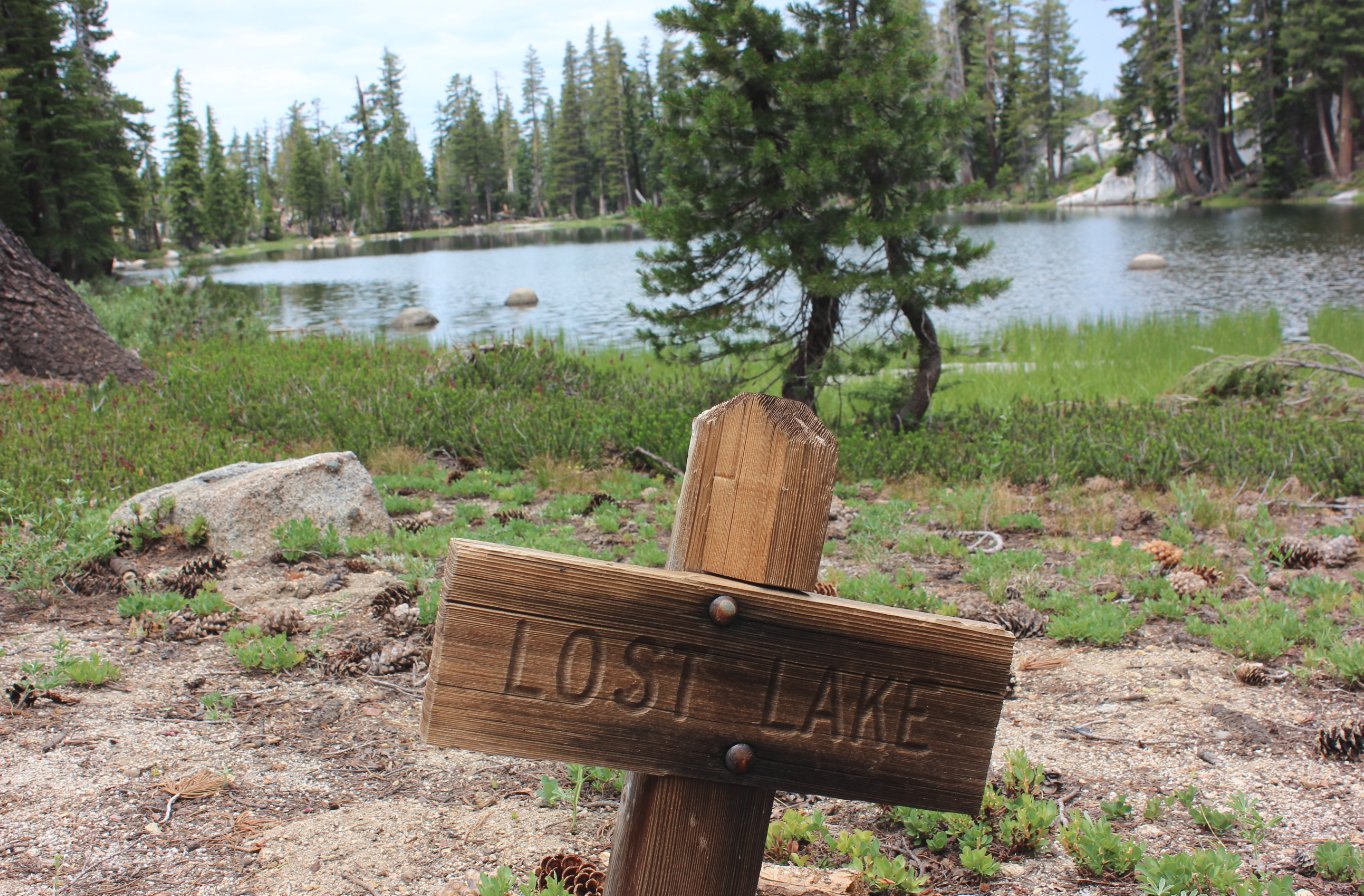
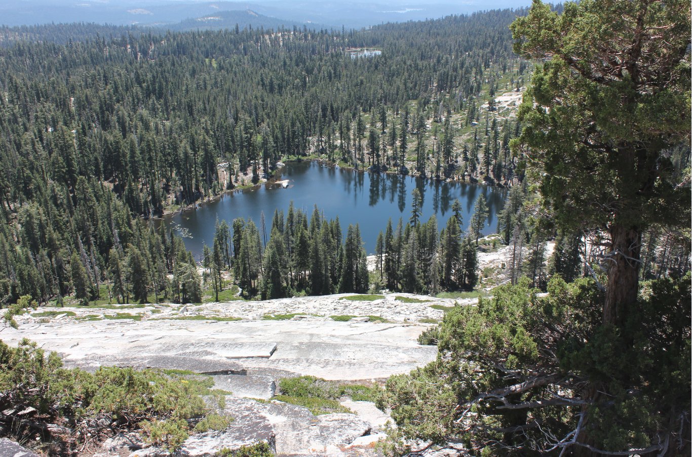
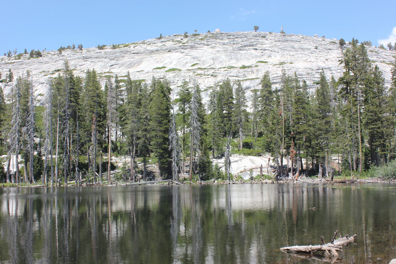
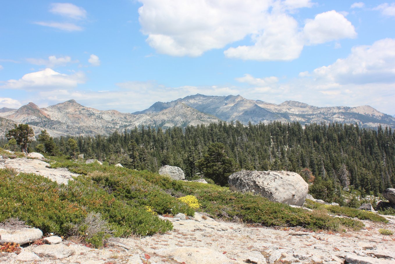
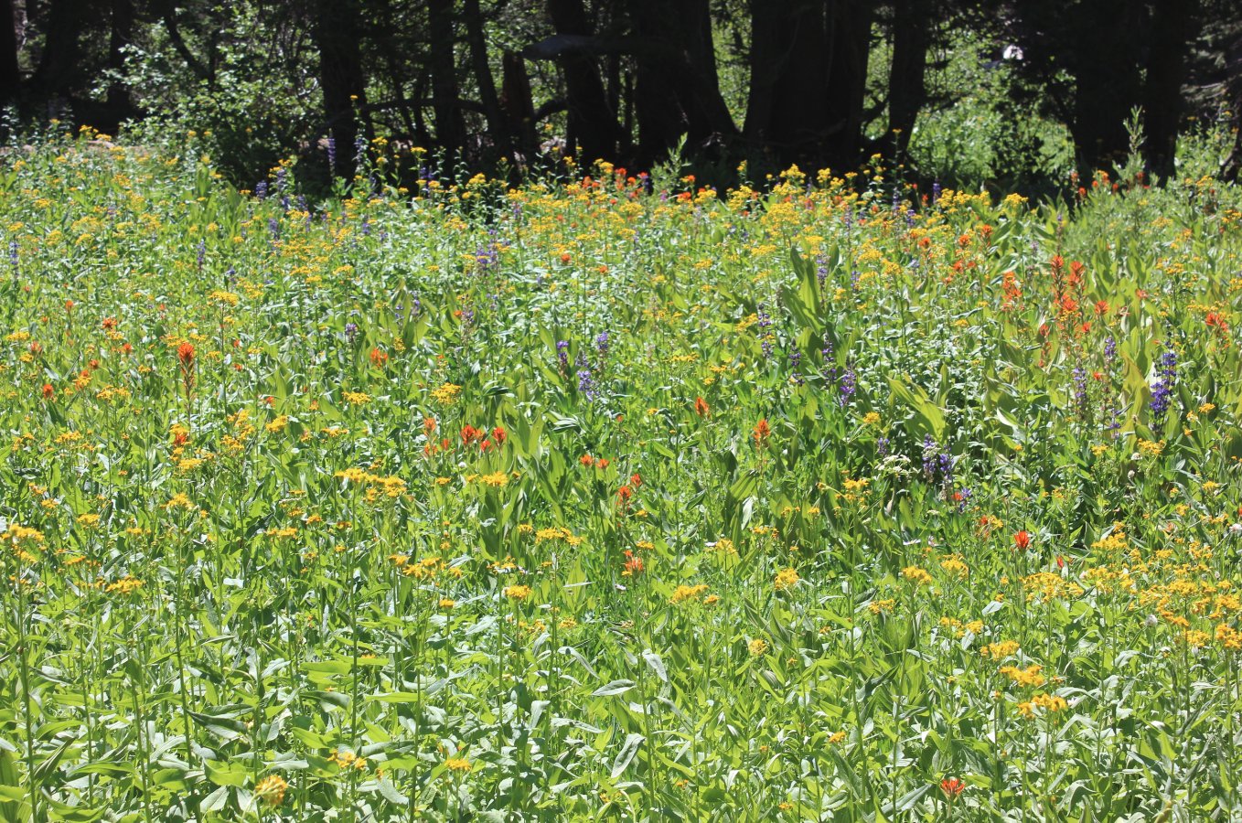
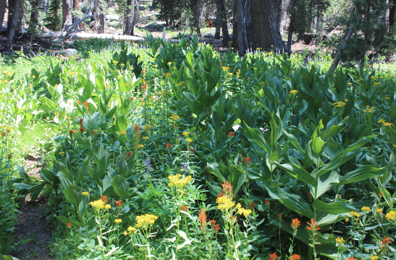
| General Notes: The hike to and from Barrett Lake is long, dry and dusty, but has some spectacular views of the Crystal Range. Once at Barrett Lake, it is less than a mile to Lawrence Lake, just at the boundary of Desolation Wilderness. It is about a mile and a half to the top of Lake Number Four, where the plane crash is located. Hike past Lake Number Five on your way north, and once you get near the area there is a use trail that leads directly from the main (Red Peak) trail to Lake Number Four and the crash site itself. Since this is a hike into Desolation Wilderness, you will need a day permit (free at the trailhead) and the group size limit is 12. One the way back out of Desolation Wilderness, veer to the SouthWest up the small mountain to get to Lost Lake. Back on the Barrett Jeep trail after dropping back down from Lost Lake, pick up a small, unsigned trail to the west about one mile back toward Dark Lake that will cut over to Pearl Lake. From Pearl Lake, hike around the south side to the private resort area, and then head south to pick up a trail that will lead right back to the Barrett Jeep trail and the last two miles back to the trailhead. |
|||||