|
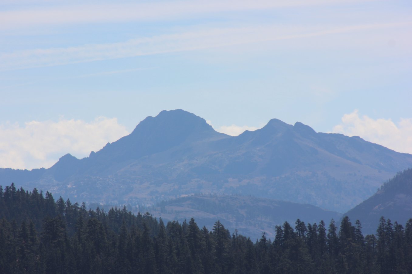
Bald
Mountain from Packsaddle Pass
|
|
Trip Date: 09/25/2015
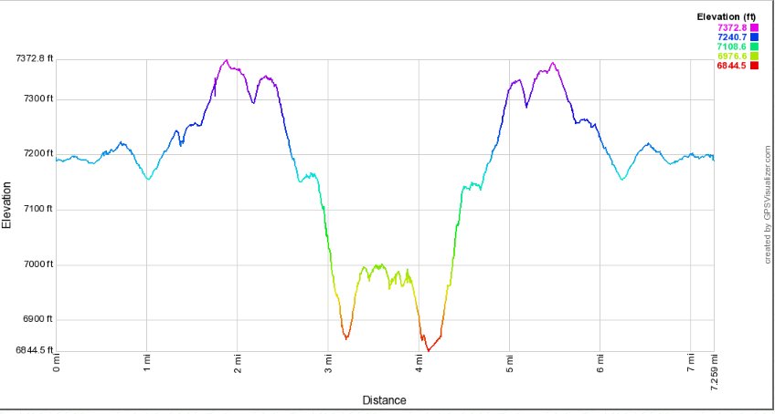
Distance: 7.25 Miles
Vertical Gain:
700'
Group Size:
2
Hike Rating: Easy
Moderate
Hard
Strenuous |
 GPX for
this trip
GPX for
this trip
|
|
|
Start Coordinates: |
N 38 45.646, W 120 10.696 |
|
End Coordinates: |
Same as starting coordinates. |
| Car Shuttle
Req'd: |
No |
|
Parking
Directions: |
Take
Highway 50 Strawberry Creek Rd. Turn right immediately as you
cross over the river, and follow this until it turns into Packsaddle
Pass Rd after Station Creek Rd on your right. Stay on
Packsaddle Rd for a few miles, avoiding any of three dirt turnoffs to
the left. When you get near the coordinates, pull off onto
the dirt road on the right and park anywhere in the area. |
| Hazards of
Note: |
Snakes, tics, and hunters
during the hunting season. |
|
Crowd Factor: |
Very
limited. This is a very lightly used 4WD trail and has even
fewer hikers. |
General Notes:
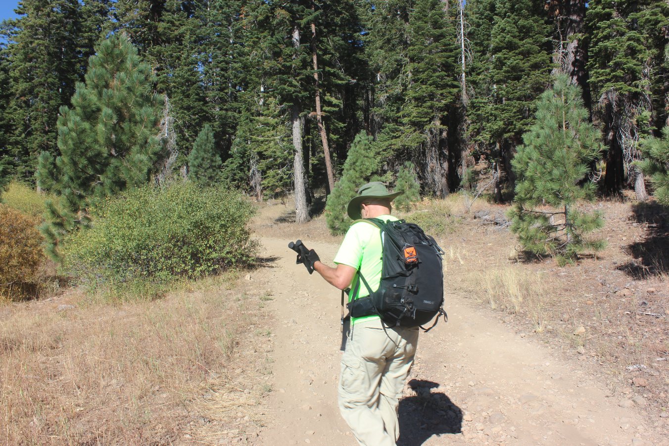
From the parking area, walk past the green gate and head down the road.
The trail goes down gradually at first, and then for much of
the
next couple of miles it will have a constant gradual incline to it.
The entire trail is a wide dirt road, and is easy to follow.
Near the very end there is a small signpost on the left
indicating the continuation of the Pony Express trail on a single-track
trail toward Sugarloaf, but stay on the road to the right and wind down
to Highway 50 and the vehicle(s) parked at the pickup location. |
|
|
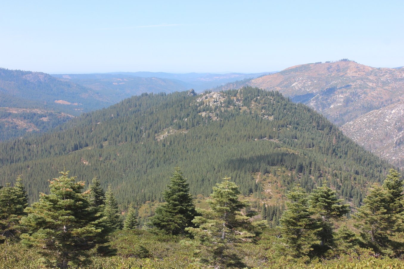
Heading up the dirt road near
the start of the hike, which would slowly narrow and fade over the
first three miles toward Bald Mountain. |
 |
|
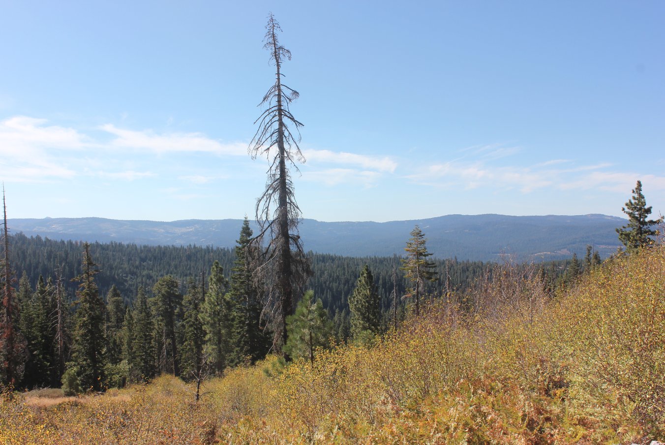
The plants were very dry this
late into the season, but the views off to the south were pretty
interesting with a number of familiar landmarks starting with Mokelumne
Peak showing up in the distance. |
 |
|
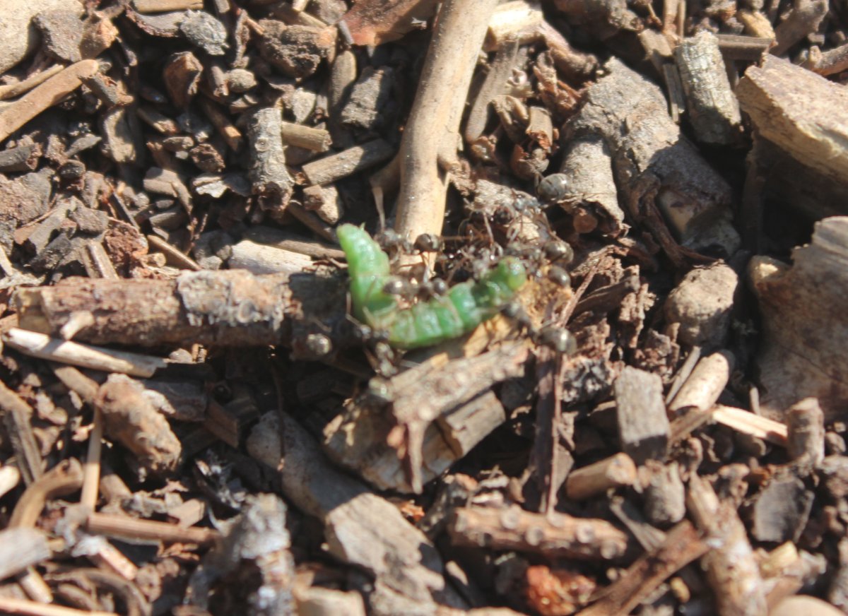
These pretty tough ants had
obtained a caterpillar and were taking it somewhere for what was going
to apparently be a huge feast. |
 |
|
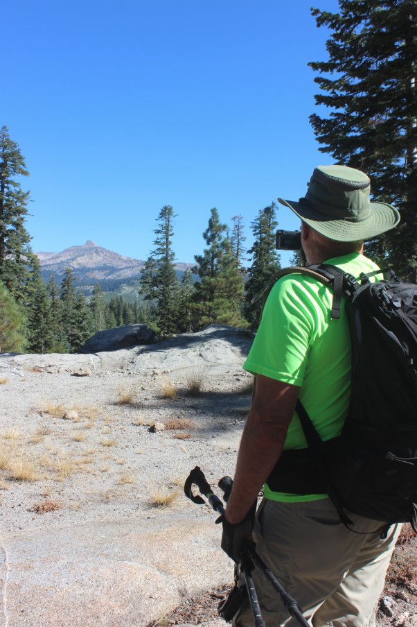
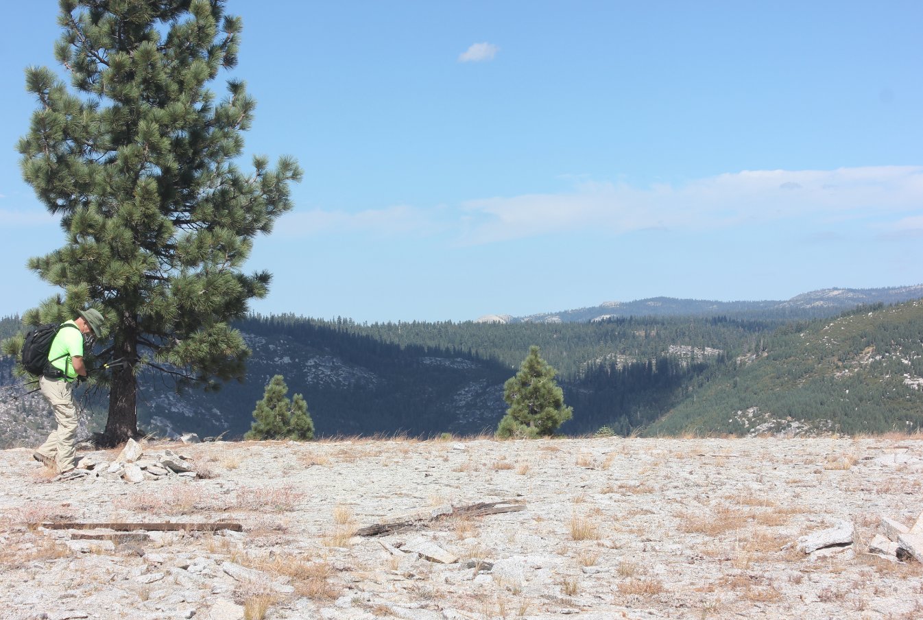
My hiking partner Mark
checking out the view northeast toward Pyramid Peak from along the way. |
 |
|
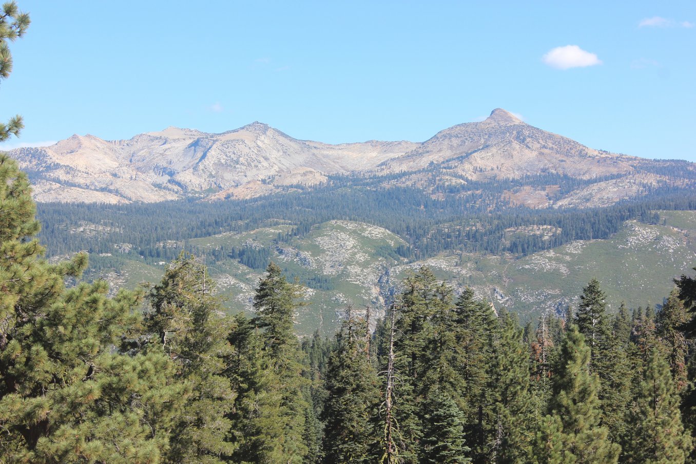
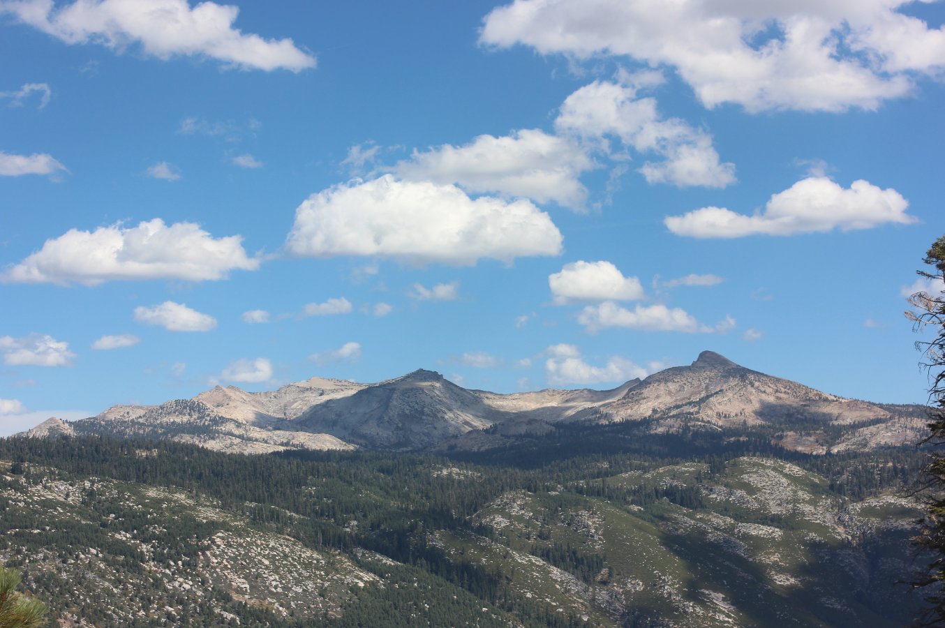
About two and a half miles
into the day we found outselves greeted with a pretty amazing view of
Pyramid Peak on the right and Mt. Agassiz and Mt. Price toward the left
side. |
 |
|
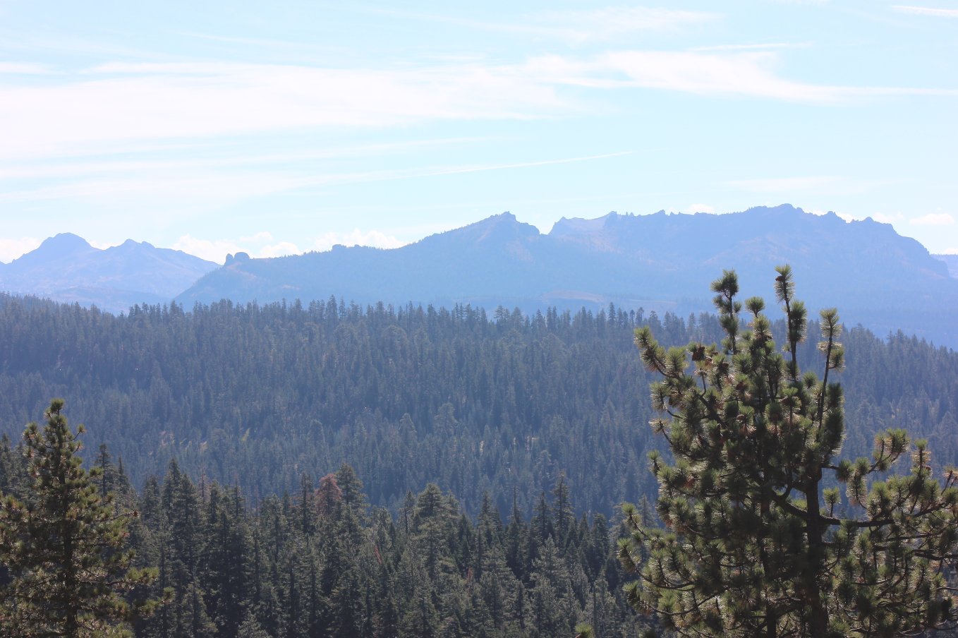
Much of Carson Pass was
visible from here, including the Kirkwood ridgeline (Thunder Mountain,)
West Pass and even 10K foot Round Top far to the left. |
 |
|
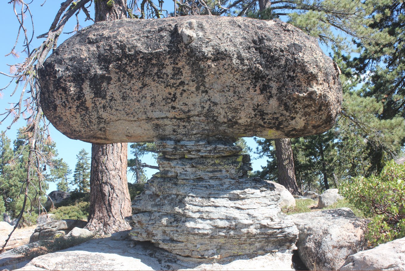
This was a pretty unexpected
find for me, displaying a classic example of staggered erosion.
Awesome spot!
|
 |
|
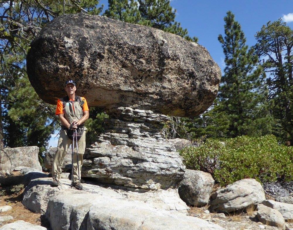
Myself at the rock, offering
some perspective on how large the thing really was. It was
impressive, and though has been there for eons, still felt weird to be
under it. |
 |
|
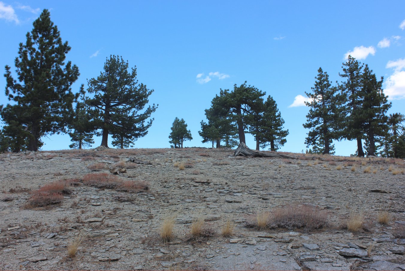
After a scratchy section of
cross country hiking, we approached the top of Bald Mountain by walking
up the south side of the mostly granite covered dome. |
 |
|
After a
scratchy section of cross country hiking, we approached the top of Bald
Mountain by walking up the south side of the mostly granite covered
dome. |
 |
|
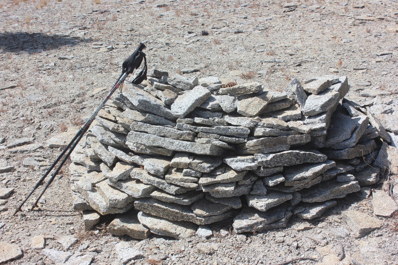
Mark at the peak, as we spent
a little time searching around for an apparently now missing benchmark.
|
 |
|
Though Bald Mountain is not
particularly impressive on its own, the views toward the Crystal Range
and the back of Desolation Wilderness were amazing. |
 |
|
Just to the west is the
distinctive formation seen from Highway 50 known as Eagle Rock. |
 |
|
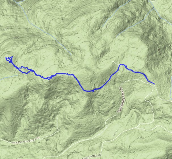
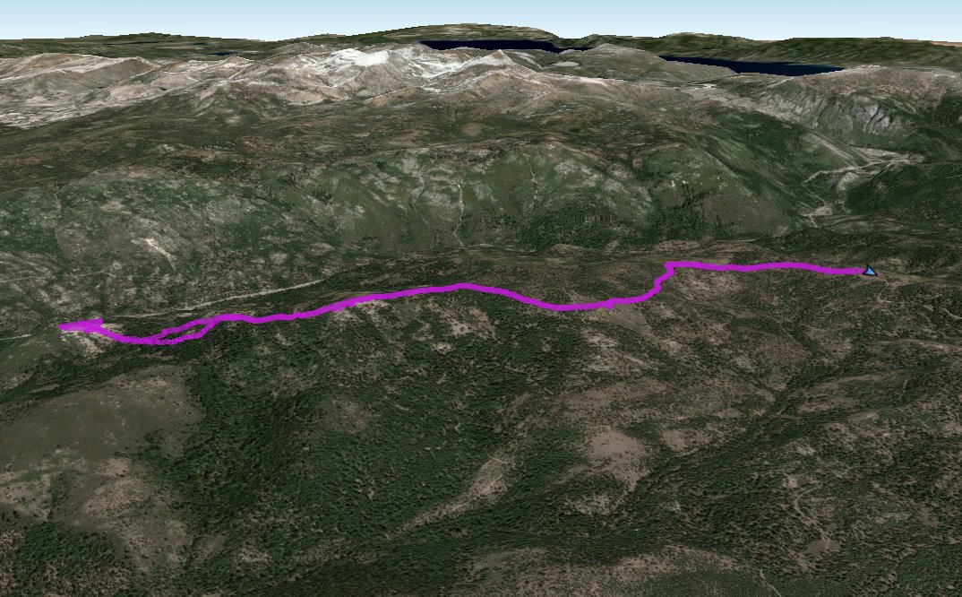
GPS Track of the full hike. |
 |