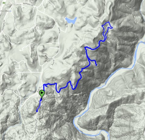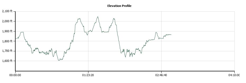
Distance: 6.3 Miles
Vertical Gain: 1250'
Group Size: 3
Hike Rating: Easy Moderate Hard Strenuous

 GPX
for
this trip

| Start Coordinates: | N 38 58.782, W 120 59.096 | End Coordinates: | Same as Start Coordinates | ||
| Car Shuttle Req'd: | No | Parking Directions: | Highway 80 to the Applegate Exit to the south. Turn left on Applegate Road, then right on Boole Road. Stay on Boole until you get to Cerro Vista Dr. Turn left on Cerro Vista then park in the dirt area 2/10 mile on your left. | ||
| Hazards of Note: | Rattlesnakes, ticks, poison oak, mountain lions. | Crowd Factor: | Moderate. This area is part of the Meadow Vista Trails Association and was featured in an online and print article from a local newspaper in January of 2015. | ||
| General Notes: From the parking area head north up a wide dirt path for about a quarter mile. You will then drop down into an area with 5 trails going off to all sides. There is a wide dirt road to your right, and just north of that is a small single-track dirt trail, which is the correct one to take. The trail is very level and moderate for most of the first couple miles. Soon you will come to a junction where you will head left, and begin a halfmile section of pretty steep uphill. This ends at a dirt road that you will turn right on, and follow this for another half mile to another junction. Either way will take you around and back to the same spot, circling the old "Assassin's Garden" which is easier seen from the trail to the left. |
|||||

