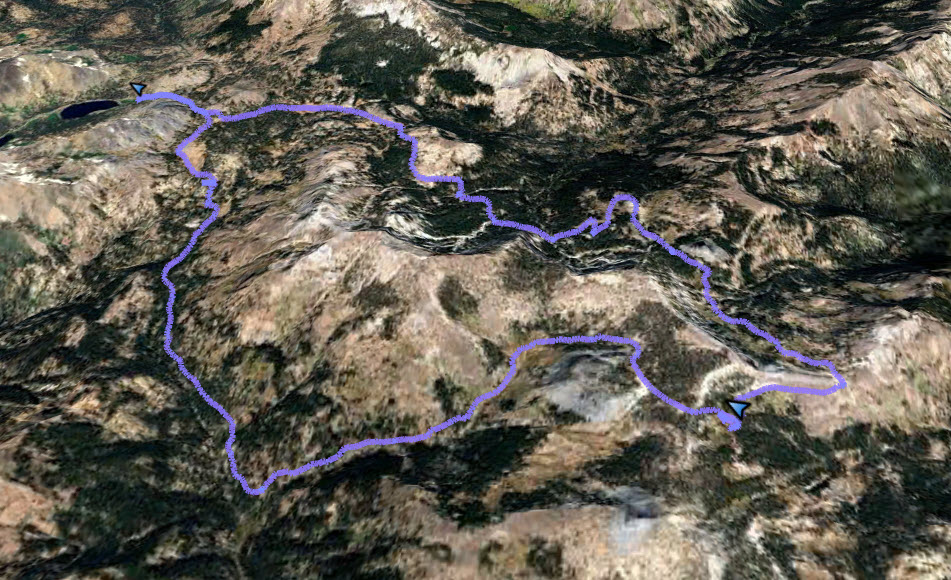
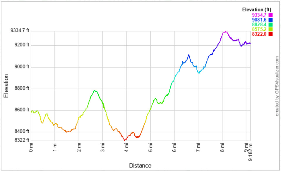
Distance: 17.5 Miles
Vertical Gain: 2000'
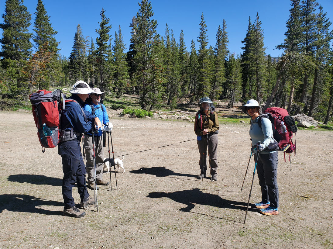
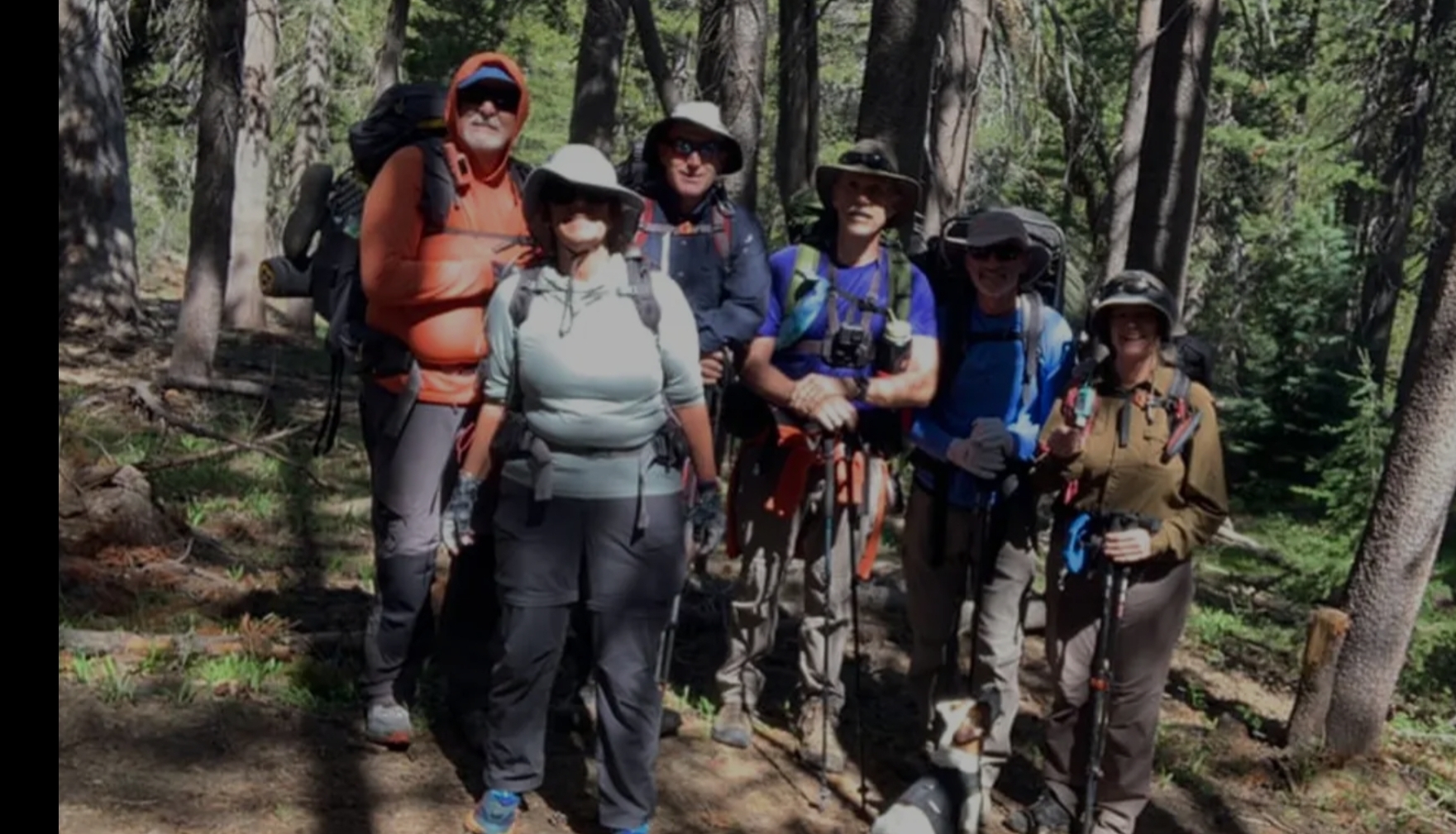
Group Size: 6
Hike Rating: Easy Moderate Hard Strenuous
 Day 2
Day 2 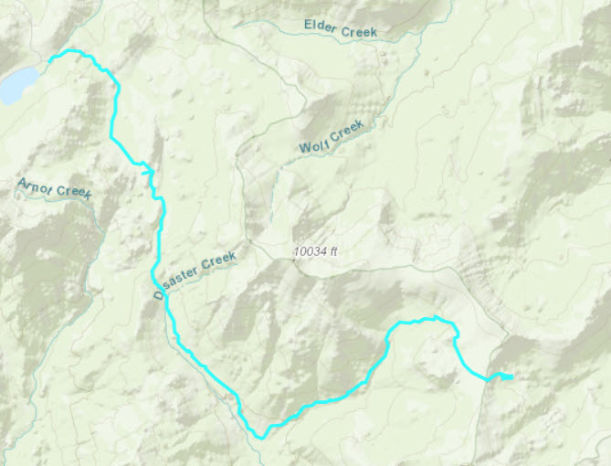
 GPX for
this trip
GPX for
this trip
| Start Coordinates: | N 38 29.781, W 119 47.779 | End Coordinates: | Same as Start Coordinates | ||
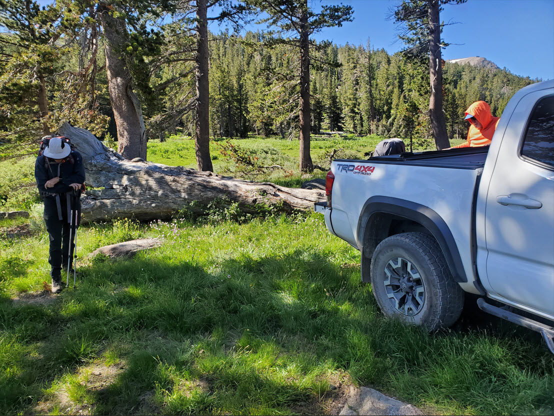
| Car Shuttle Req'd: | No | Parking Directions: | Take Highway 4 Highland Lakes Road. Head south for approximately 5 miles along a road that is unpaved but usually accessible by regular 2 wheel drive vehicles. When you get to the first Highland Lake find parking for the trailhead on your left at the Upper Gardner Trailhead. | ||
| Hazards of Note: | Wilderness environment, trail can be hard to follow through Paradise Valley |
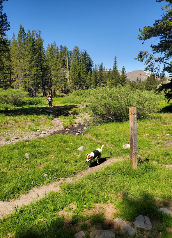
Crowd Factor: | Limited. Along the Lower Gardner Meadow trail there will be limited contact with others. Along the PCT heading south you will likely run into section and full PCT hikers. Contact with anyone through Paradise Valley would be a surprise, but meeting others along the Disaster Creek trail, especially when you get to Lower Gardner Meadow is likely. | ||
| General
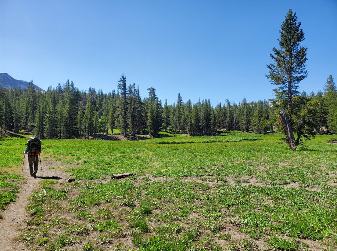
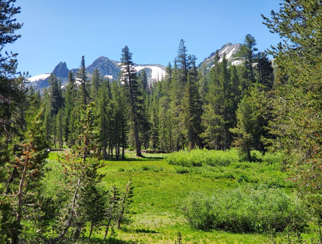
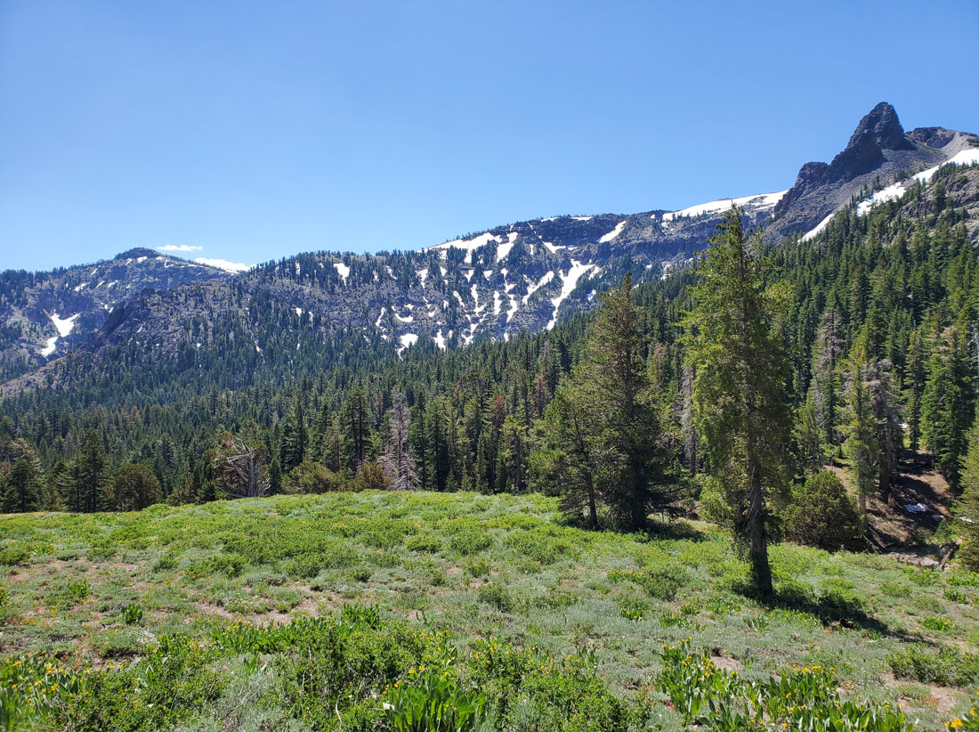
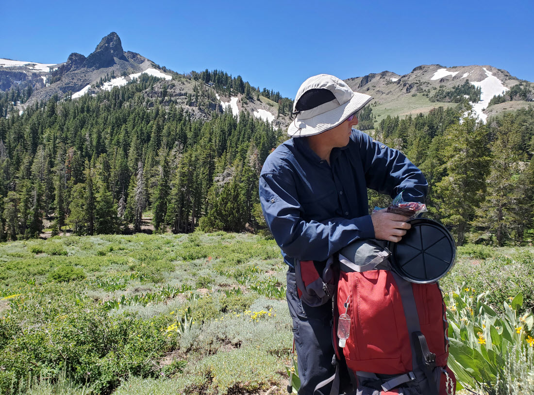
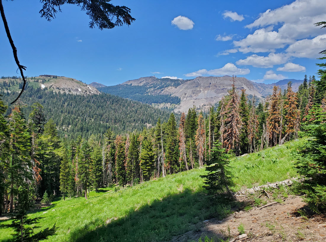
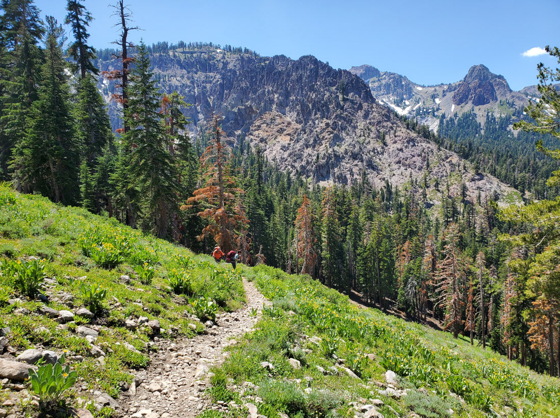
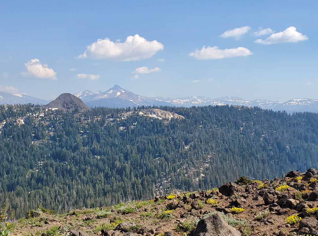
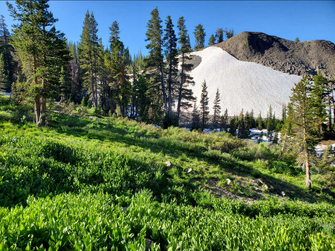
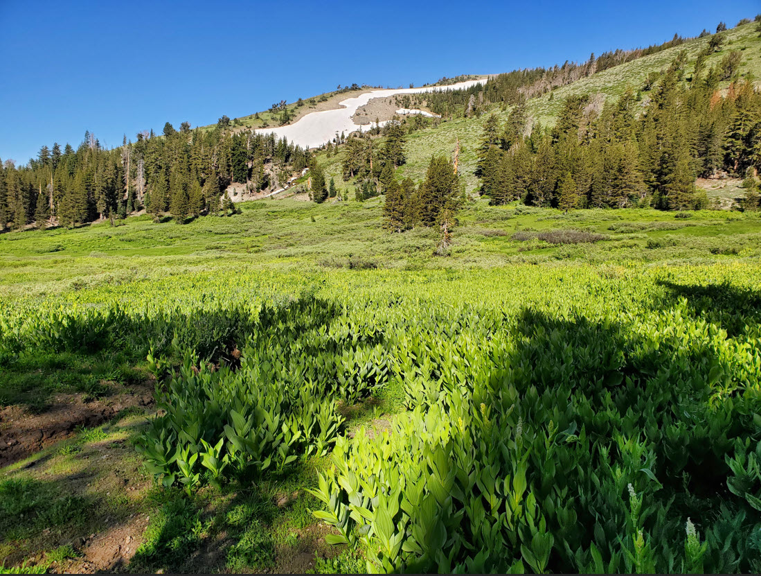
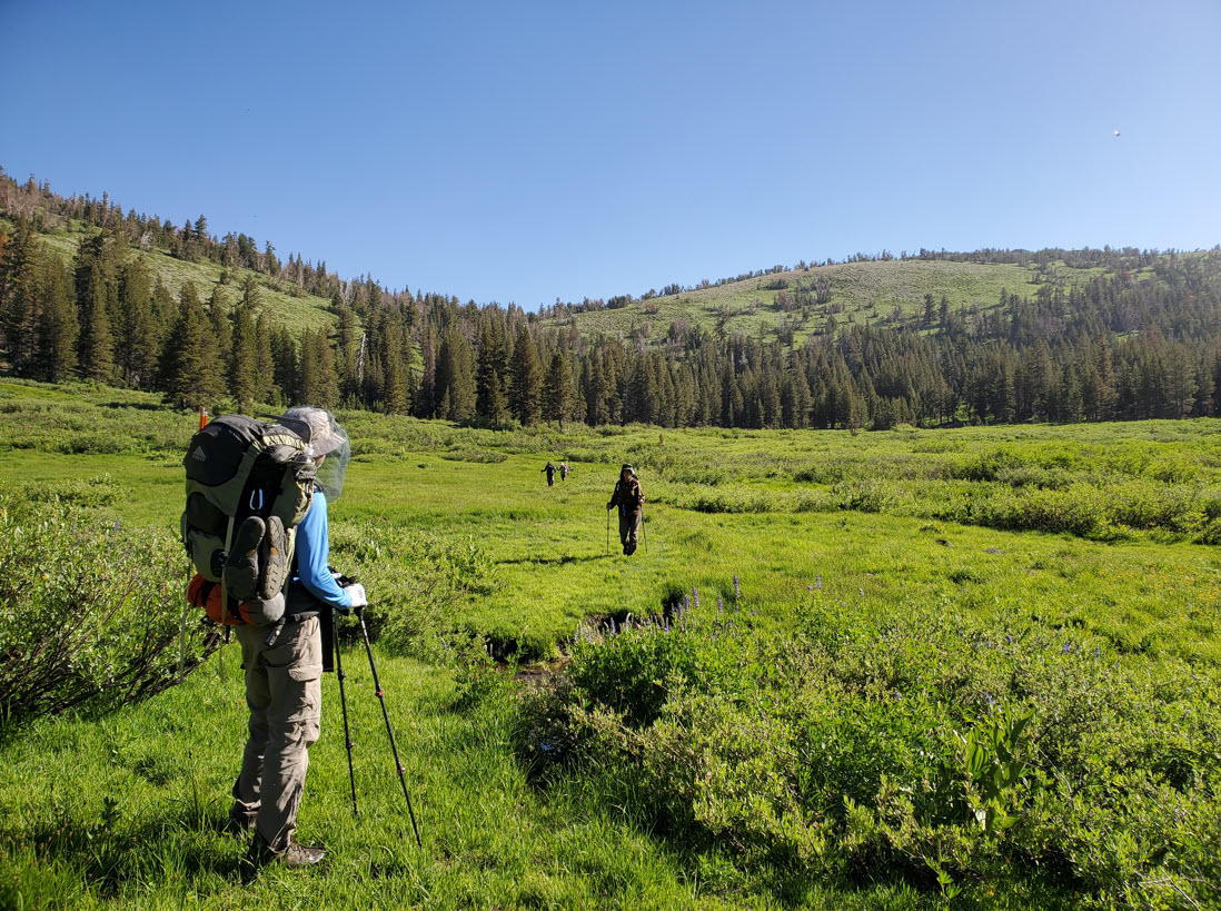
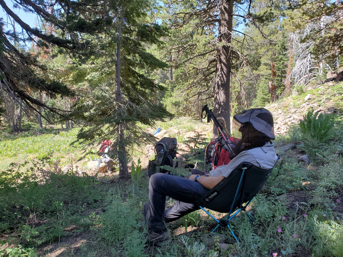
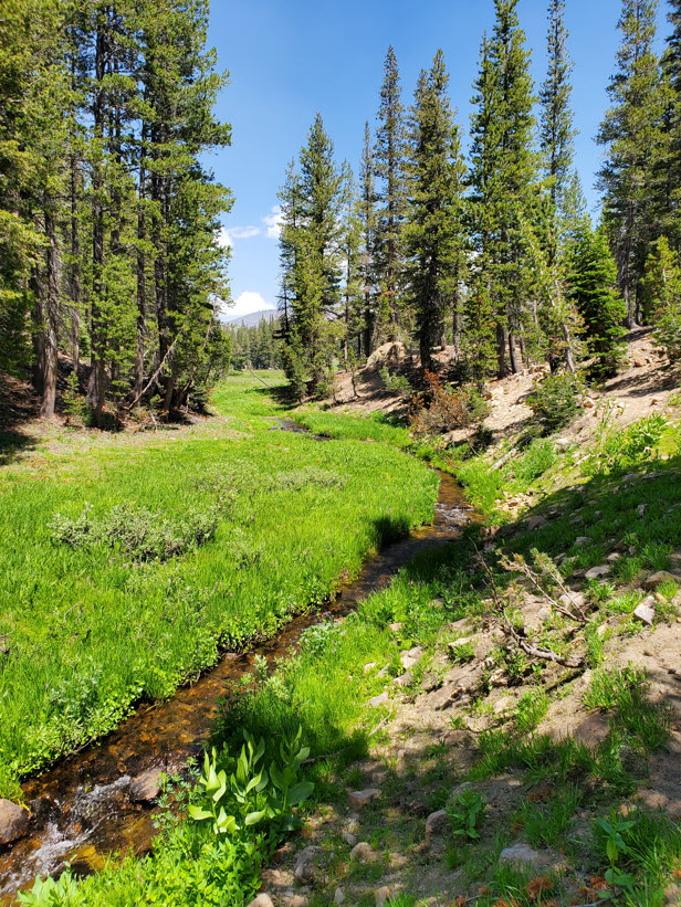
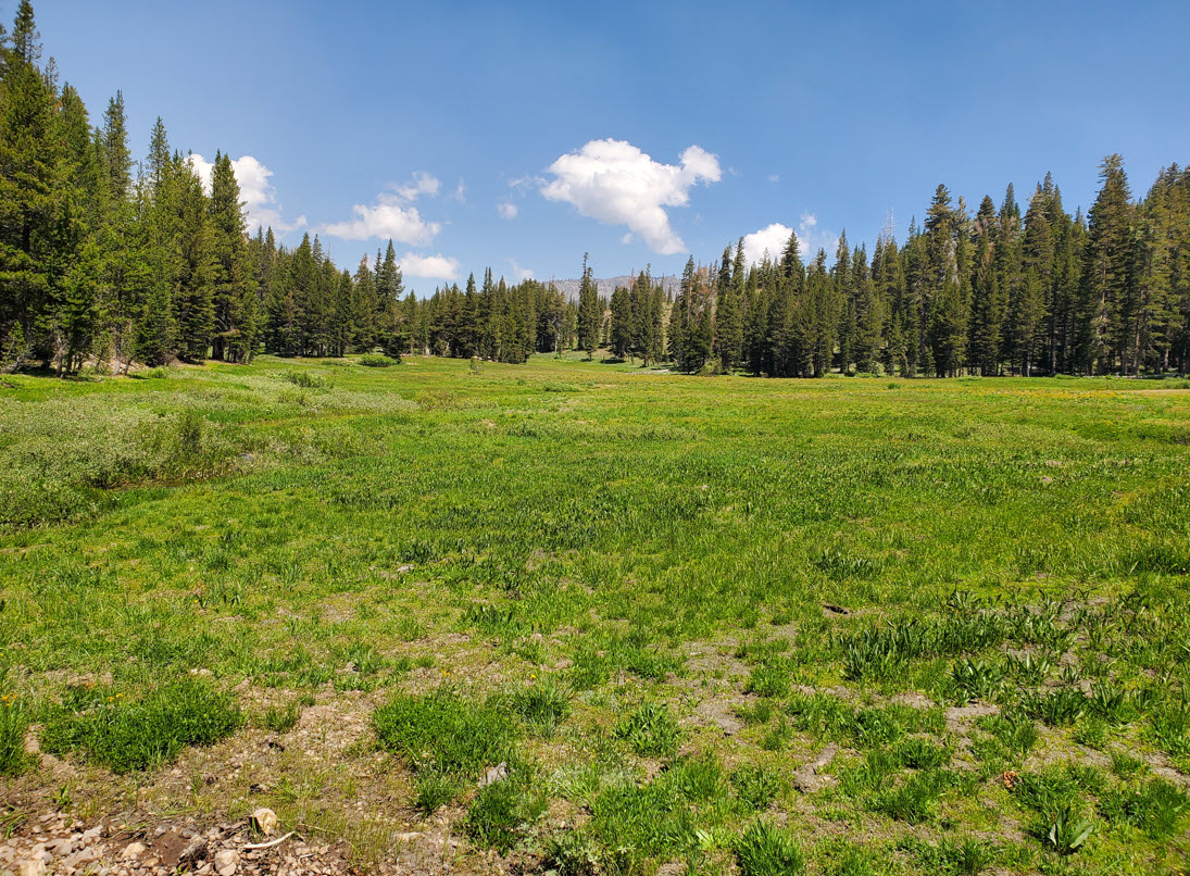
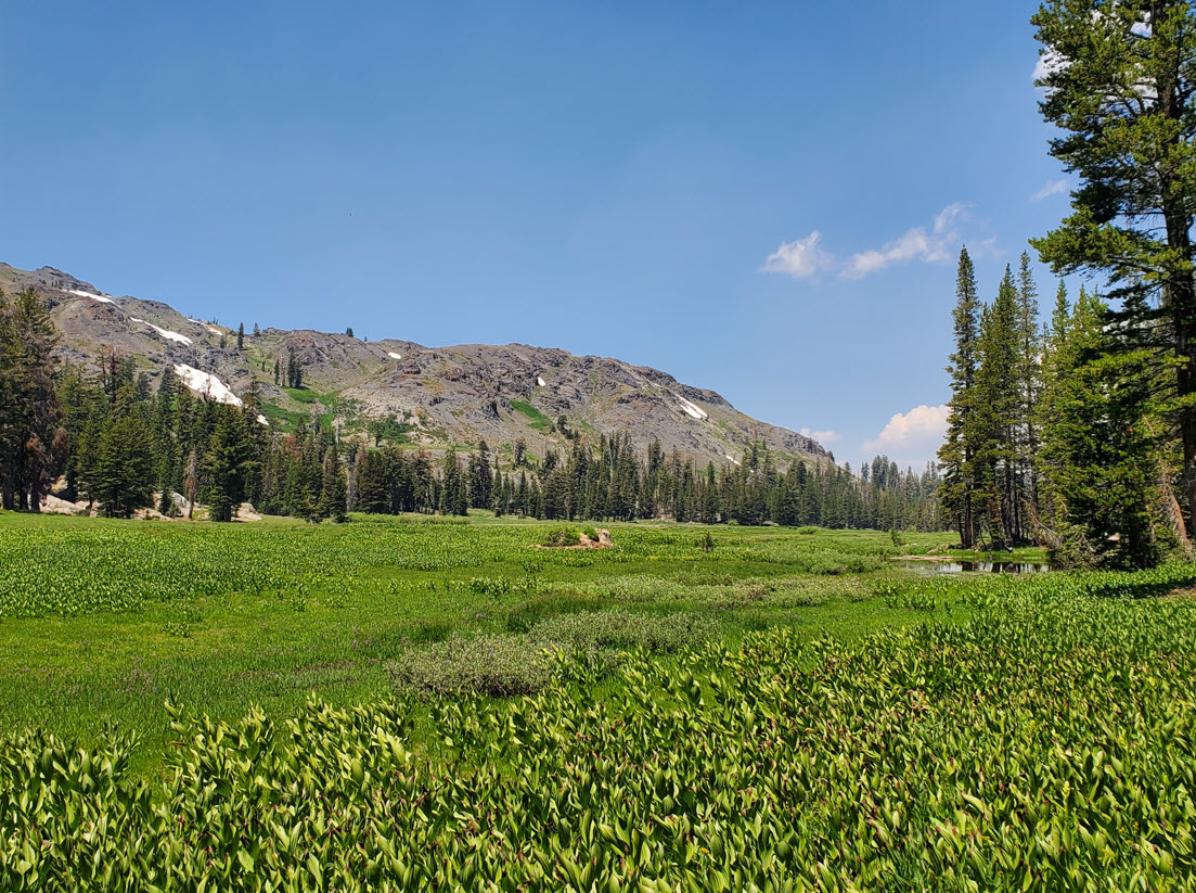
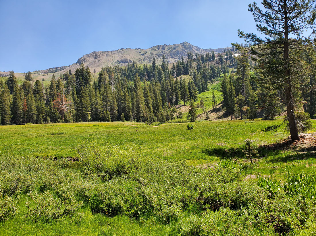
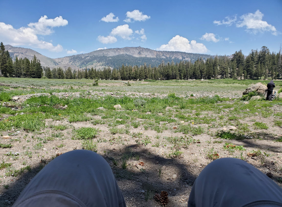
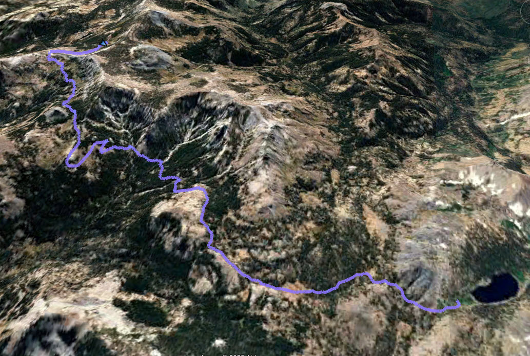
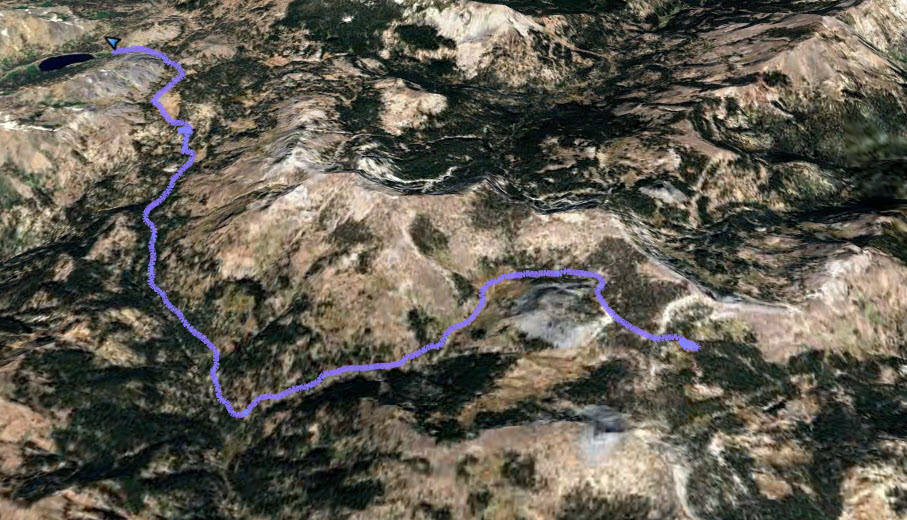
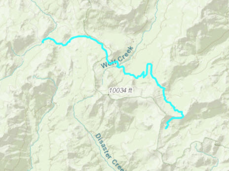
Notes: From the trailhead you will travel almost due east for a little over a mile and a half until you reach a junction with the Pacific Crest Trail (PCT.) From there head north on the PCT for almost 3 miles, passing by the shallow Asa Lake and then heading up and over the ridgeline where Noble Lake lies just past. Before reaching the lake, take the signed junction for the Bull Canyon trail and head up 3/4 of a mile to the ridgeline overlooking the valley where the lake is hidden below in the midst of thick trees. Past this the trail is difficult to follow in many locations, and route finding in the section is a must. Additionally, the junction to the lake, about a mile and a half down this trail is not easy to find and a cross-country journey may be necessary to reach the lake. Bull Lake is a hidden gem in this wilderness area, and is a worthy destination for an overnight stay. From the lake head back east to pick up the Bull Canyon trail, and then head south-southeast until you reach the junction of the Wolf Creek Trail. Head west on this trail for almost 4 miles until you reach the junction with the PCT that you turned at earlier in the hike. Continue straight onto the Lower Gardner Meadow Trail for the last mile and a half until you reach the parking area and the end of the hike. |
|||||