Back to index Angora Peak & Lakes Hike
Trip Date:  08/08/2015

Distance
: 6.0 Miles

Vertical Gain: 2400'

Group Size: 4

Hike Rating:  Easy   Moderate    Hard    Strenuous
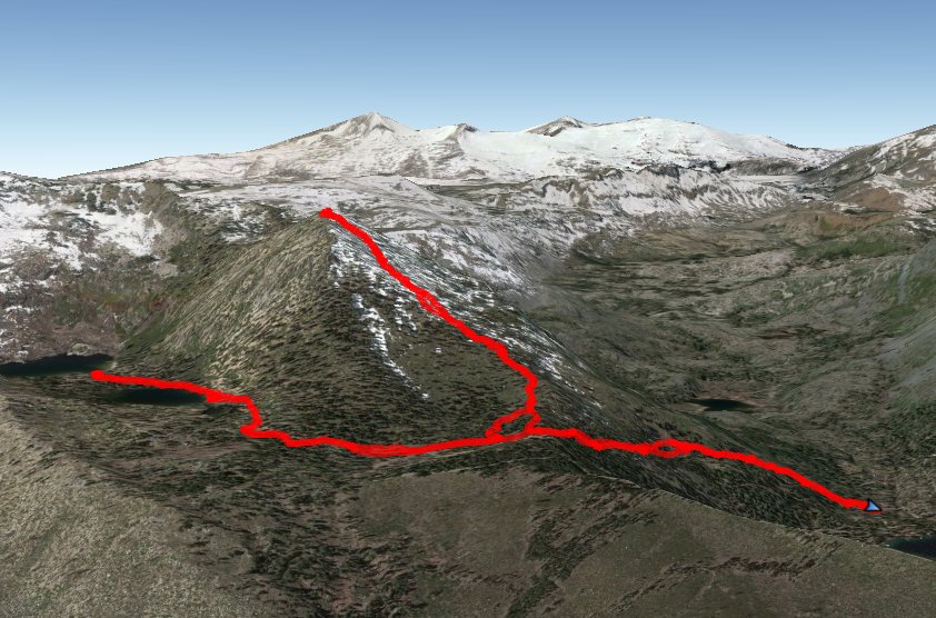
Angora hike route
Download GPX GPX for this trip
Angora Elevation Profile
Start Coordinates:   N 38 52.779, W 120 04.248     End Coordinates:   Same as Start Coordinates
Car Shuttle Req'd:   No Parking Directions:   Take Highway 89 to Fallen Leaf Lake Rd.  Drive all the way to the Firehouse at the end of the lake past the Fallen Leaf Lake Marina, and park at the coordinates given. 
Hazards of Note:   Steep inclines and a significant amount of off-trail hiking to the peak. Crowd Factor:   High on the main trail, none on the off-trail portion of the hike.
General Notes:
From the parking area, walk across the road to the trailhead just to the left of the firehouse.   There is a small sign indicating the start of the trail to "Angora Lakes," and you walk across a small bridge at the very beginning.  The trail heads up almost immediately, switchbacking up a rocky trail that heads through forested area all the way to the junction for the off-trail portion of the hike just about a mile from the trailhead at coordinates 
38 52.025, W 120 04.389.  From here, the trail to the peak heads up to the right, and is fairly straightforward to follow for the first quarter mile, but soon becomes difficult to follow.  Just keep heading upward staying to the right of the large boulders on the way up, heading to the peak just over 2000' in elevation higher than the start of the hike.  The views along the way back down toward Fallen Leaf Lake and Mt. Tallac are great.
After reaching the peak and enjoying the views toward Desolation Wilderness, retrace your steps back down to the trail, and then turn right and head another half mile to Lower Angora Lake.  If you continue on to Upper Angora Lake there is a store at the resort there that sells food and great lemonade.  Finish the hike by heading back along the Angora Lakes Trail to the parking area.

Members of our group checking out a chapel near the trailhead. Chapel near the trailhead
Heading out across the bridge at the start of the hike.  Look for the small sign just to the left of the firestation. At the trailhead
Just after leaving the trail to head on up to the peak, there is a view up of the false peak above us. False Summit
On the way to the peak there are good views to the north of the very tenuous Middle Tallac Trail. View of the Middle Tallac Trail
As we head on up the trail gets steeper and steeper with every step. Lots of up
Looking across at Mt. Tallac, with a view of some people on the very top early this morning. View of Tallac Peak baggers on Tallac
Close to the top of Angora Peak, there are a few boulders that have to be negotiated, but a great view of Fallen Leaf Lake in the distance at the elevation this hike started from.
Getting closer to the top
The view from the peak into Desolation Wilderness is pretty phenominal.  Jack's and Dick's peaks in the distance, as well as Grass Lake far below in the foreground. View into Desolation from the peak
One of our group checking out the amazing view of the Crystal Range from the top of the Peak. Checking out the view
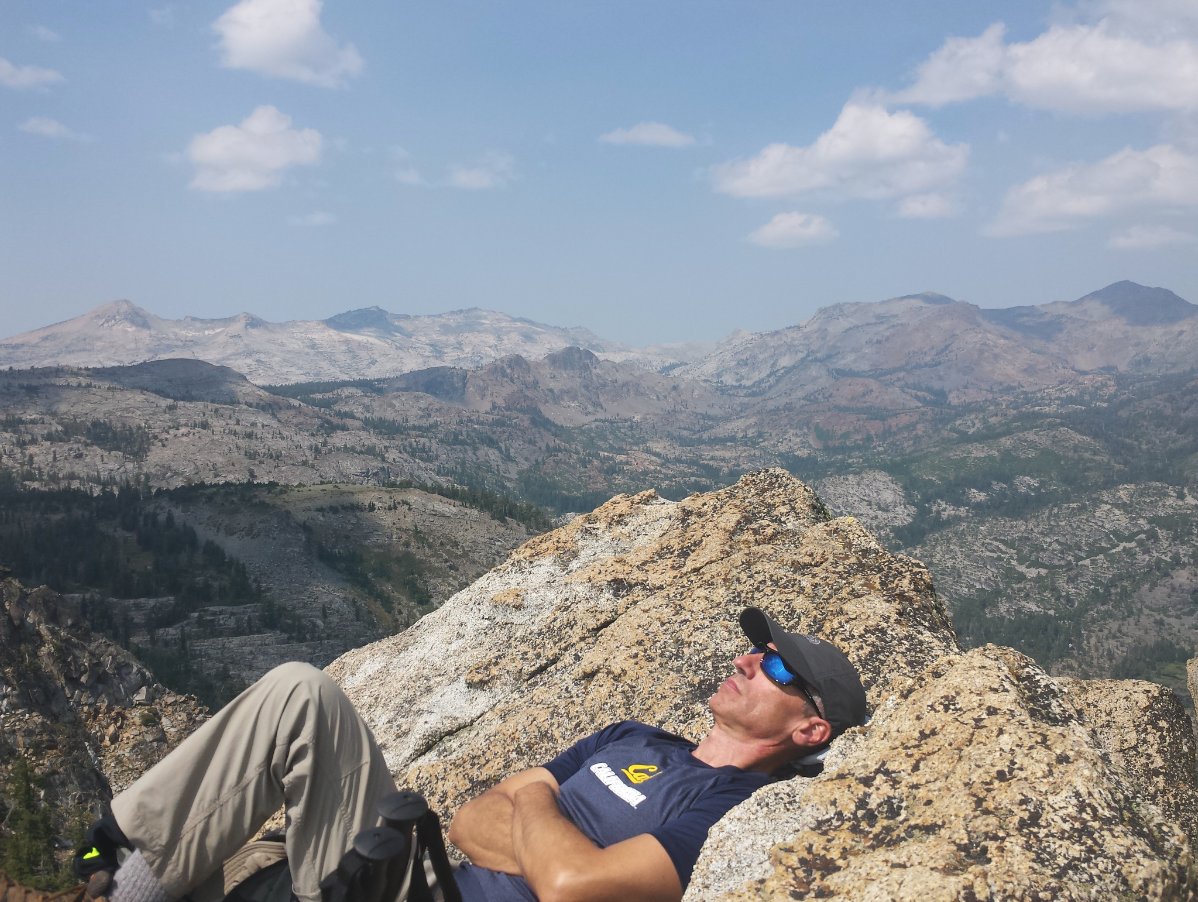
Making use of the "recliner rocks" at the top of Angora Peak. Best way to enjoy the view
Looking across from Angora Peak toward Indian Rock and Echo Peak. Echo Peak and Indian Rock.
A lot of smoke in the air from the numerous California wildfires at the moment, but still some nice vistas to the east toward Freel Peak. Hazy view toward Freel
Making our way to the two Angora Lakes. Angora Lakes
Lower Angora Lake, where our hiking dogs got to jump in to cool off from their trip up to the summit. Lower Angora Lake swimming
Making our way to the two Angora Lakes. Upper Angora Lake
Some crazy jumpers getting ready to drop over 50 feet from the rocks to Upper Angora Lake far below. Crazy jumpers
GPS Track of the full hike. GPS Track of Hike