|
5
Lakes and Ward Peak Hike
|
|
Trip Date: 07/31/2020
Distance: 10.0 Miles
Vertical Gain:
2500'
Group Size:
6
Hike Rating: Easy
Moderate
Hard
Strenuous |
 See
video of hike
See
video of hike
 GPX
for
this trip GPX
for
this trip
|
|

|
Start Coordinates: |
N 39 10.702, W 120 13.824 |
|
End Coordinates: |
Same as starting coordinates |
| Car Shuttle
Req'd: |
No |
|
Parking
Directions: |
Take
Highway 80 to the town of Truckee and then head south on Highway 89
toward Squaw Valley and Alpine Meadows Ski Resorts.
Alternately,
if you are coming from Lake Tahoe head north on highway 89.
When
you reach Alpine Meadows Rd head west. Go about three miles
on
this road until you reach the second intersection of Deer Park Rd and
then look for parking on either side of the road. The trail
start
is on the north side of Alpine Meadows Dr. at this location. |
| Hazards of
Note: |
Trails are well marked all the
way but expect some north slope snow in the spring and early summer. |
|
Crowd Factor: |
Busy to 5 Lakes, moderate to
low past this point. |
General Notes:
From the parking lot along Alpine Meadows Road head to the trailhead on
the north side of the road just across from the intersection with Deer
Park. The trail will start upward almost immediately, and you
will gain a good 1000' feet of elevation in the first 2 1/4 miles that
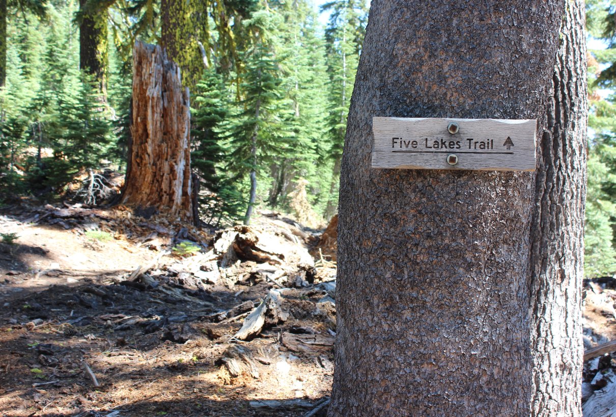
will get you to the 5 Lakes area. Just before reaching the
lake
that is visible from the trail, there is a junction to the right which
will head on to the PCT and Whiskey Camp further on, but don't take
this junction yet. Head to the left, and you will find the
largest of the 5 lakes just off to your left side. There are
nice
spots here to jump in and swim, or if you go just a little further past
the end of the lake you can cross a stream outlet and access the lake
from a less brushy shoreline on this side. This is actually
the
only one of the five lakes that is accessible directly from the trail,
but there are two others of note to the east, as well as a couple of
ponds which make up the rest of the 5 lakes area if you wish to explore
them more.
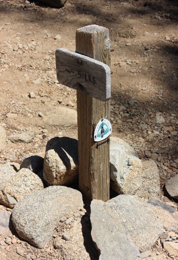
To
continue from here, you will pass a sign along the trail which states
"no more lakes past this sign." Follow this trail for about a
1/2
mile and you will eventually pick up the Squaw Ridge trail and follow
it for a short distance until you come to a junction with the Pacific
Crest trail. Oddly enough at this point, head north to travel
on
the southbound direction of the PCT toward Ward Peak. If you
actually head south, you will wind around and end up in Squaw Valley
unexpectedly. From here the PCT will gain another 1000' over
the
next three miles, switchbacking up the ridgeline. Near the
first
area at the top of the ridgeline be sure to head about 100 feet up to
the left off the trail for a fantastic view of Alpine Meadows and Lake
Estelle directly below.
At the point where the trail bends to the
south and you can see Ward Peak's tower equipment in front of you, take
a small use trail up to your left and then follow the access road all
the way to the top of the peak.
From the peak the best way down is
to follow the summer access roads, which meander steeply and footing
can be a little questionable at times given the steep slopes on the
way. When you reach the lodge at the bottom, there is another
1
mile walk along the road to reach the trailhead where the cars are
parked.
|
|
|
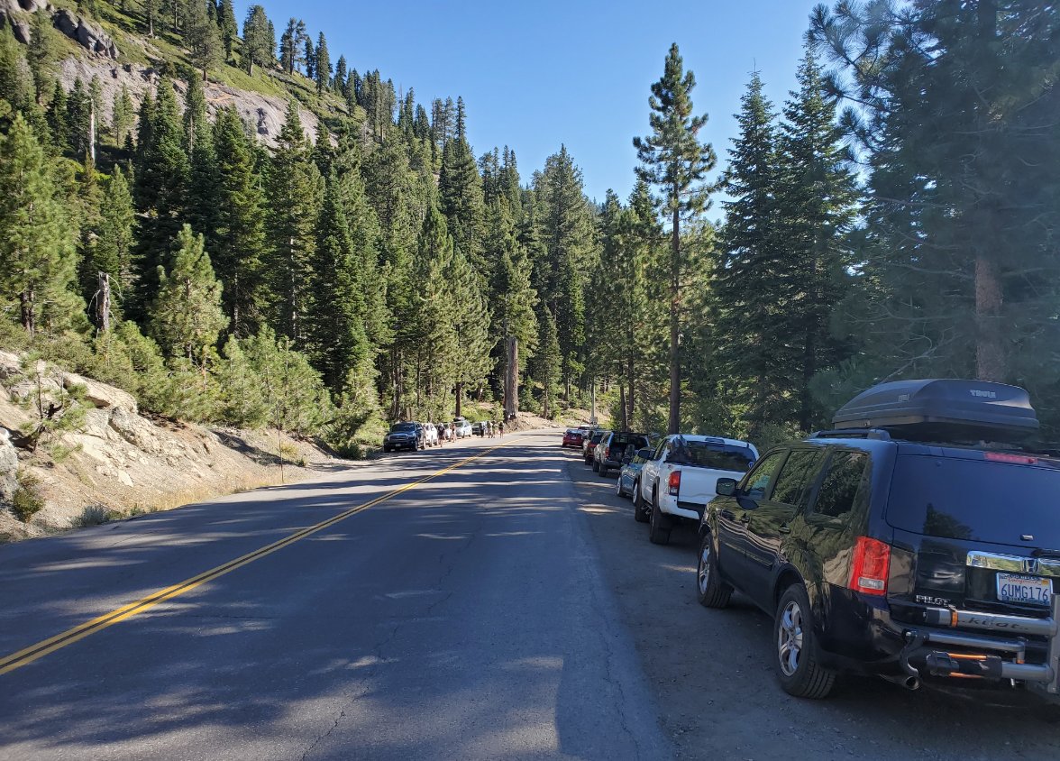
This is the trailhead parking
area on Alpine Meadows Road. The trailhead from here is up on
the left side. |
 |
|
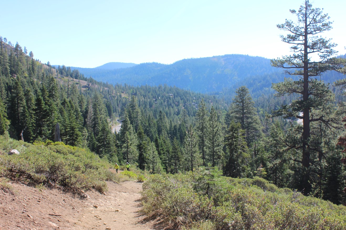
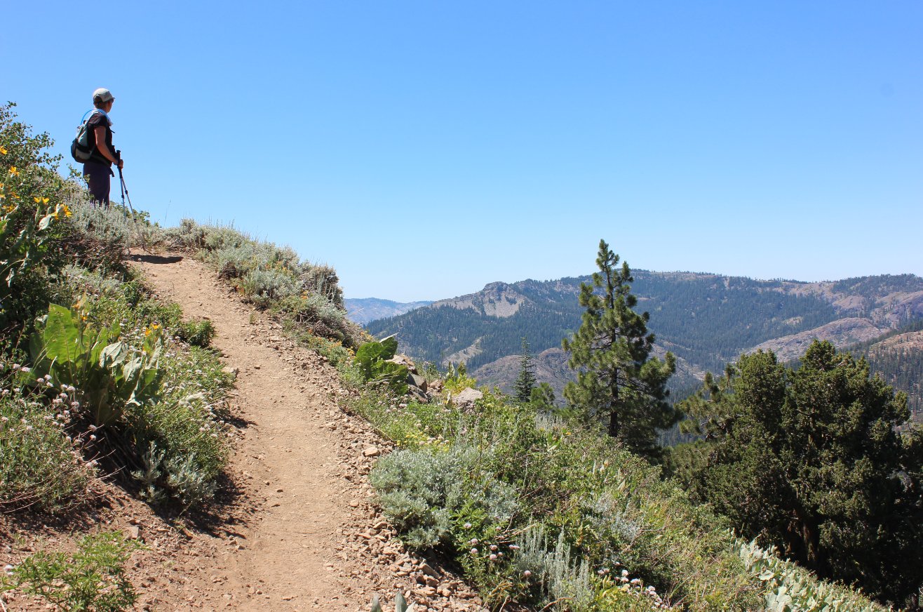
There is
a lot of elevation gain up to 5 Lakes over the first two miles, but
that opens up great views as well. This is looking back down
the
trail toward Highway 89. |
 |
|
Looking
south you can get a glimpse not only of the entire Alpine Meadows
valley but even Ward Peak in the distance, the high point of our trip
about 7 trail miles away from this early point in the hike. |
 |
|
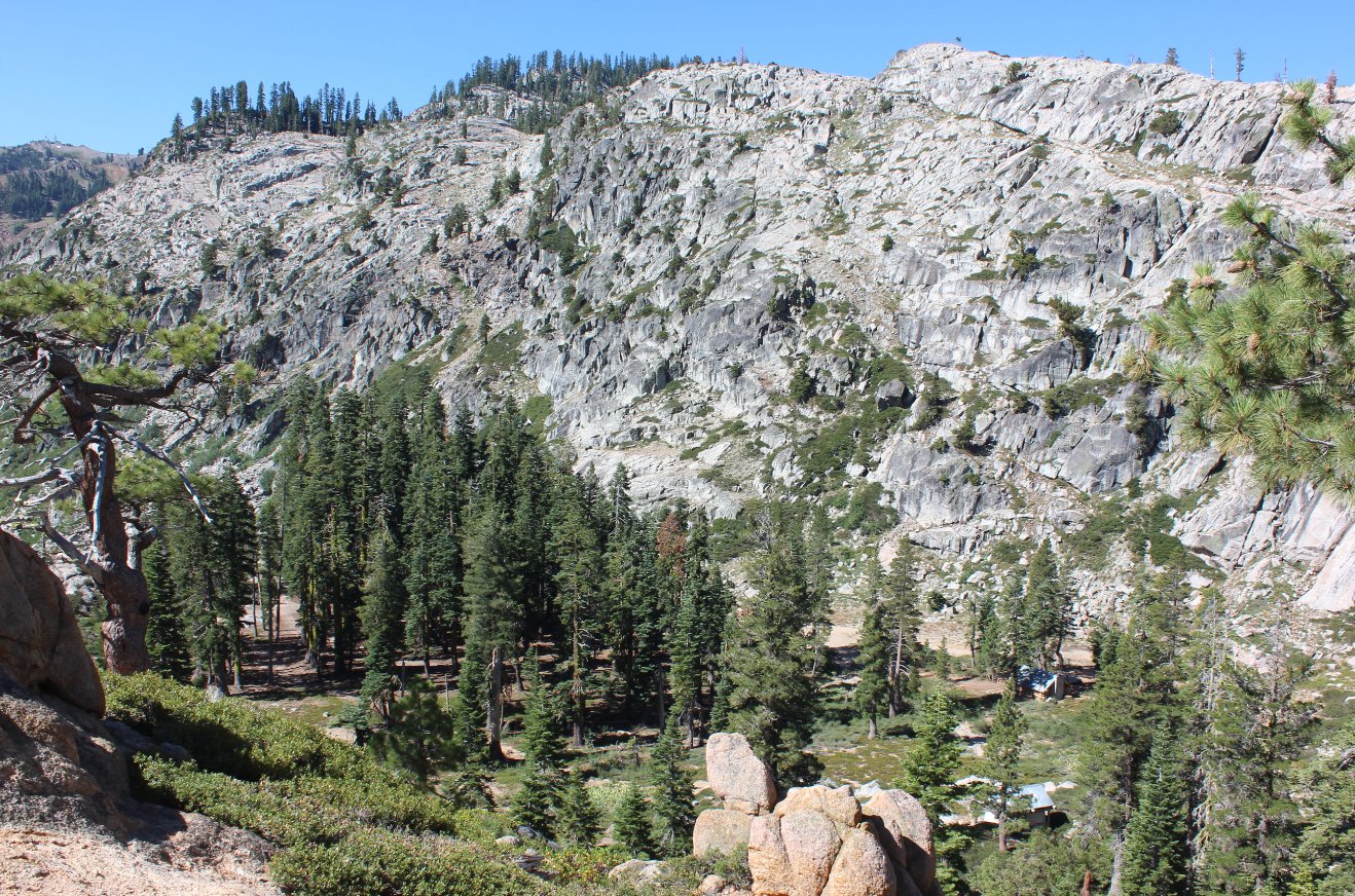
A small building near the
bottom right of this view gives a good perspective as to the true size
of the granite wall behind it. |
 |
|
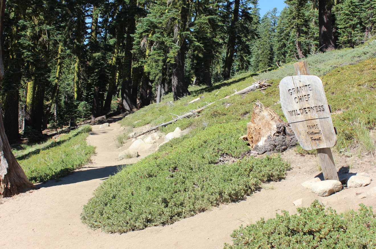
Nearing the 2 mile mark the
trail enters into the Granite Chief Wilderness area. |
 |
|
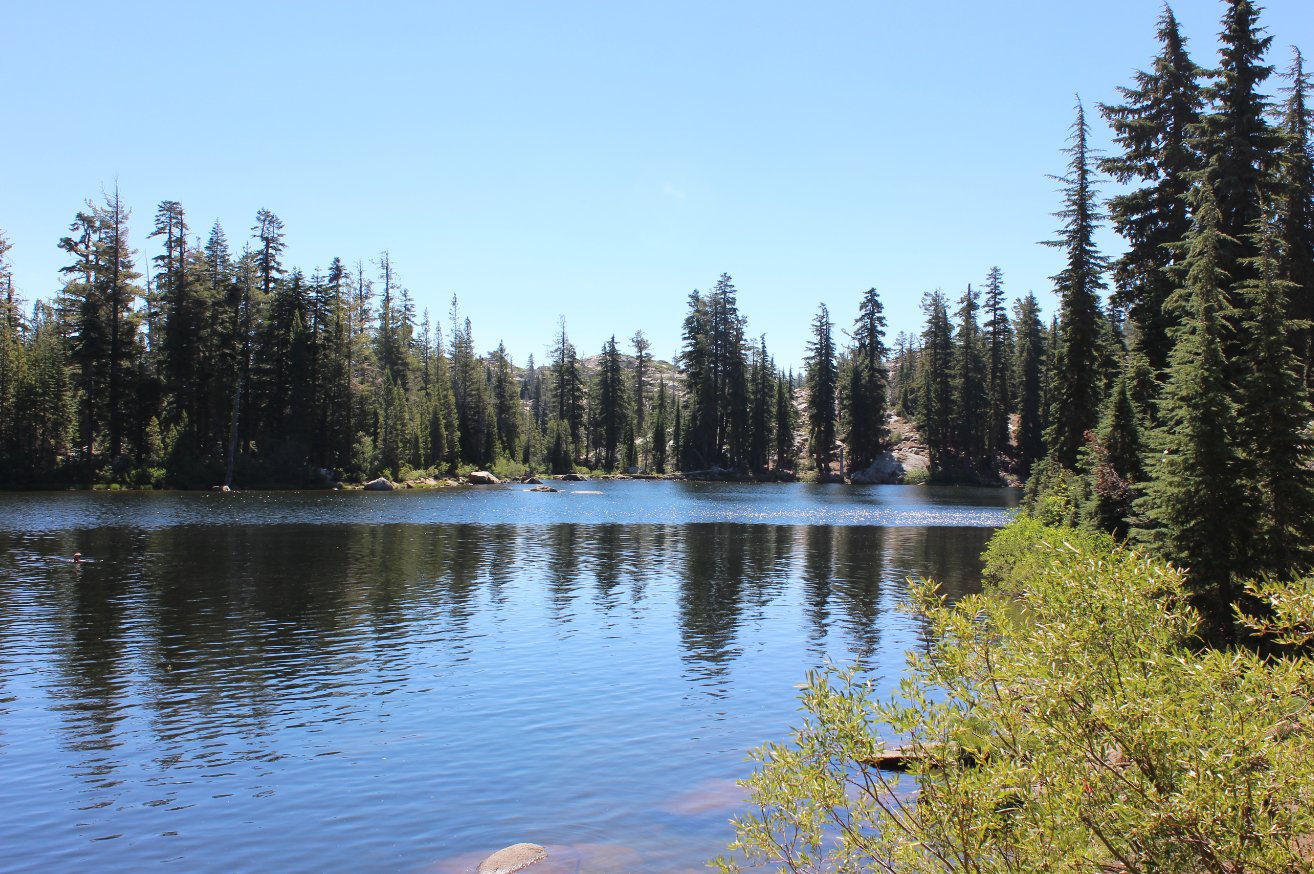
Only one
of the five lakes is actually visible from the trail, but it is the
largest and a number of people were enjoying a swim on this day. |
 |
|
Seems
that enough people continue on the trail toward the PCT looking for
more lakes that they ended up having to post this sign just after you
pass the big lake. |
 |
|
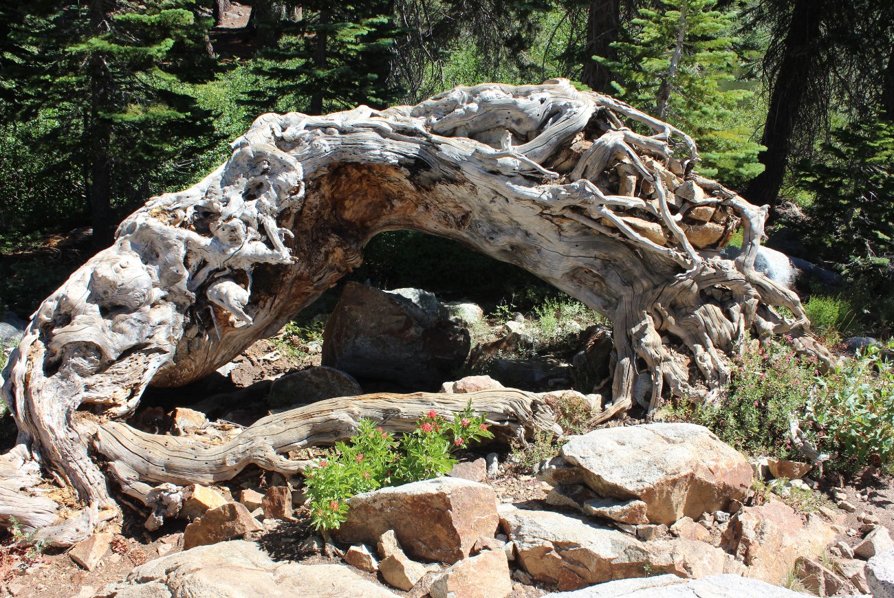
While
taking a little time to explore around the big lake we came upon this
amazing tree that just drew your attention from everything else around. |
 |
|
Just past
the lake there are junctions to get to Squaw Valley, the PCT north, the
PCT south and Whiskey Camp. They were all well marked for
even
those without navigational assistance. |
 |
|
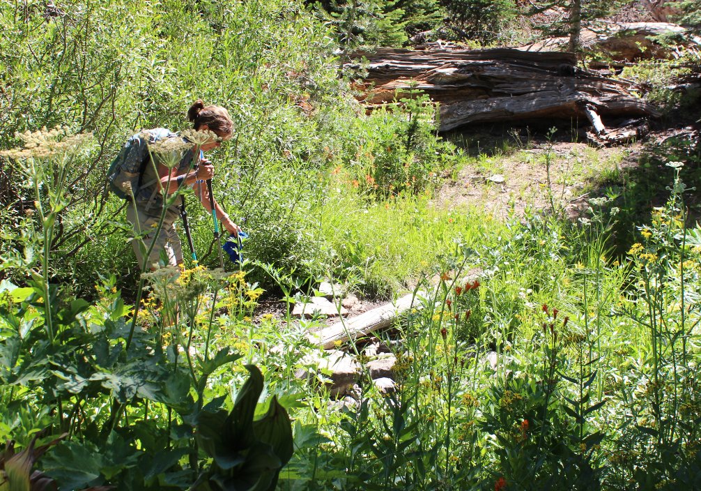
Even on
the last day of July on a relatively dry year, the wildflower display
in the area was fantastic. In many spots the larkspur plants
were
over 6 feet tall. |
|
|
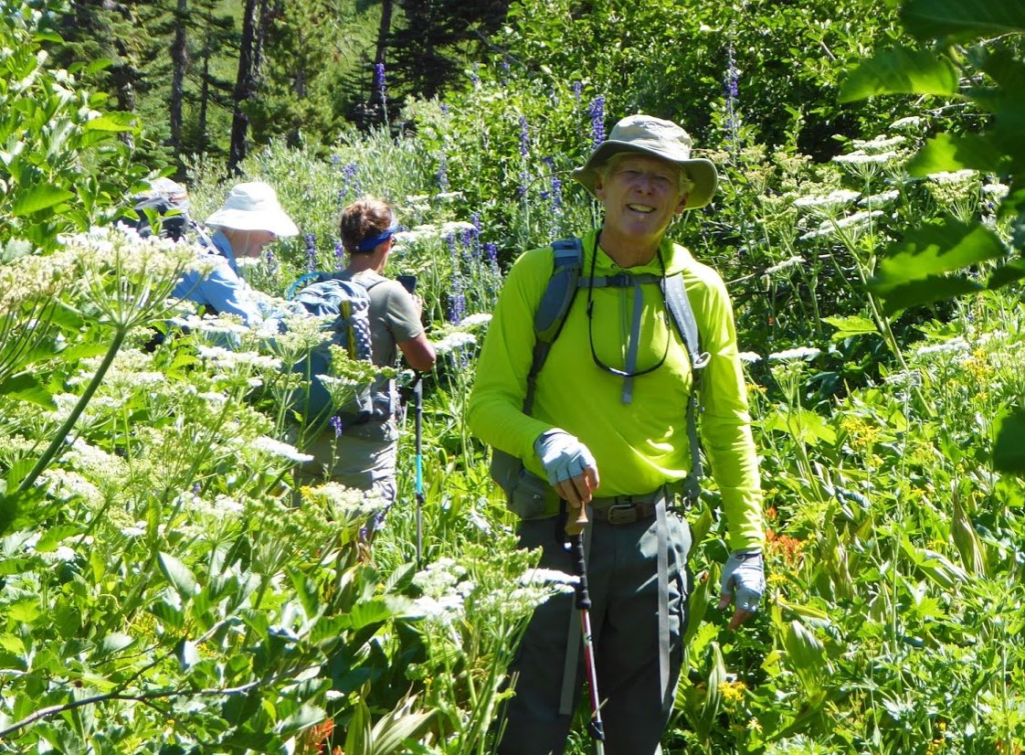
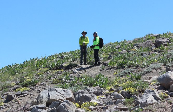
One of our group, Greg B
sporting his wildflower camoflauge. |
 |
|
The PCT
junction location is definitely backward from how it feels it should
be. Go north to head southbound and visa versa. |
 |
|
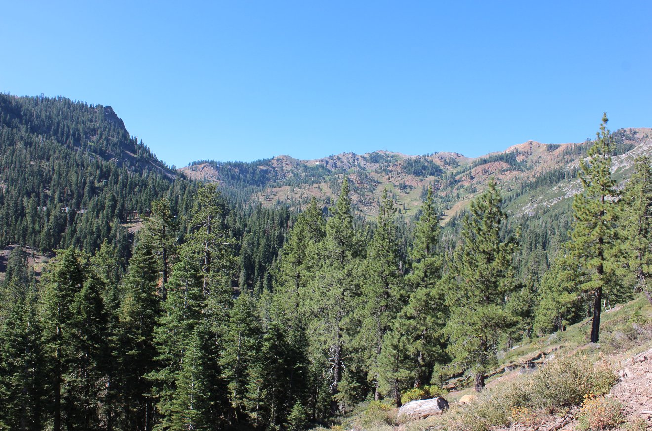
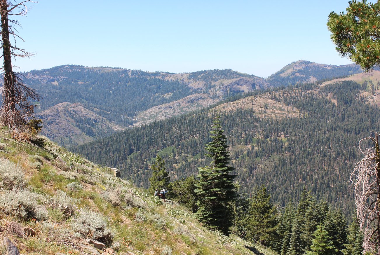
As the PCT heads upward on a
constant climb, the views soon open up to the west and the
south. |
 |
|
As you climb even higher both
Squaw Peak and the High Camp at Squaw Valley are visible to the north. |
 |
|
Directly to the west you can
see the deep canyon where Whiskey Camp is located as well as Mt.
Mildred in the distance. |
 |
|
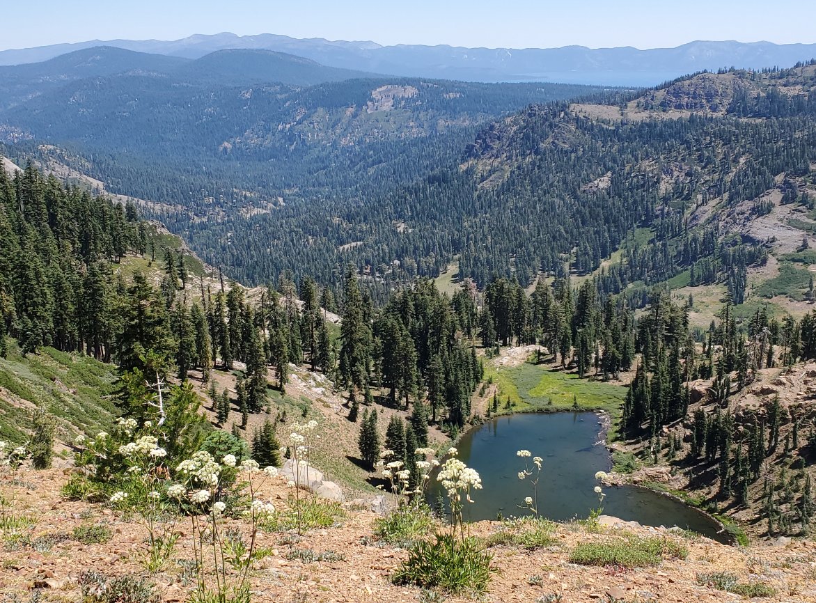
An
unexpected bonus on this day was a nice overlook view along the ridge
down into Alpine Meadows as well as the pleasant Lake Estelle directly
below. |
 |
|
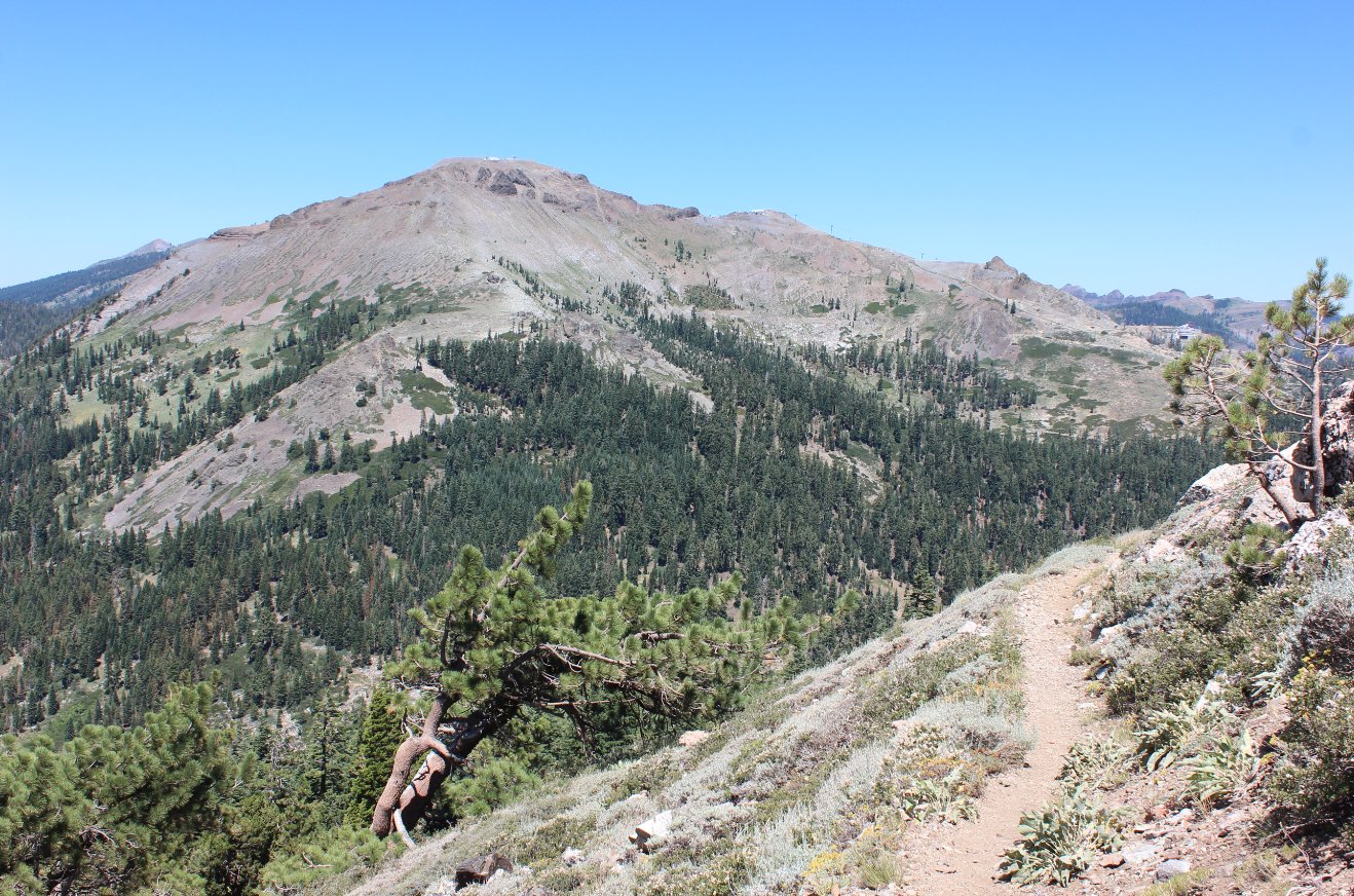
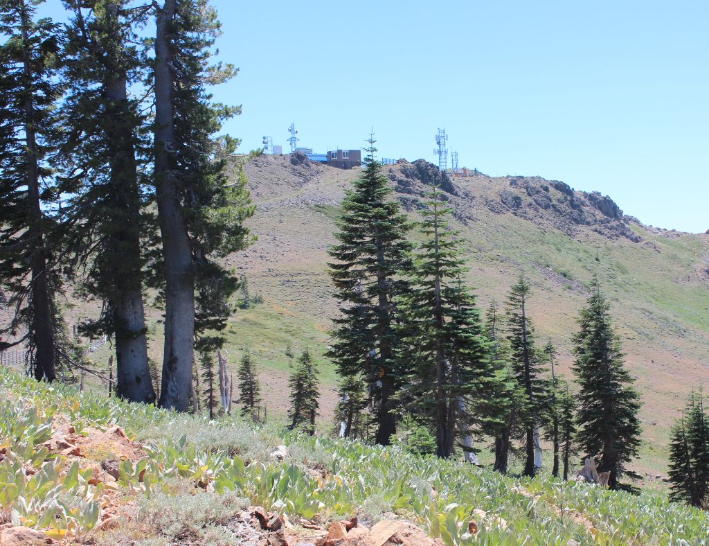
About 3/4
of a mile from the peak you round a bend in the trail and spot the
destination. There is some equipment at the top but it is
still
going to be a good climb even just from the PCT. |
 |
|
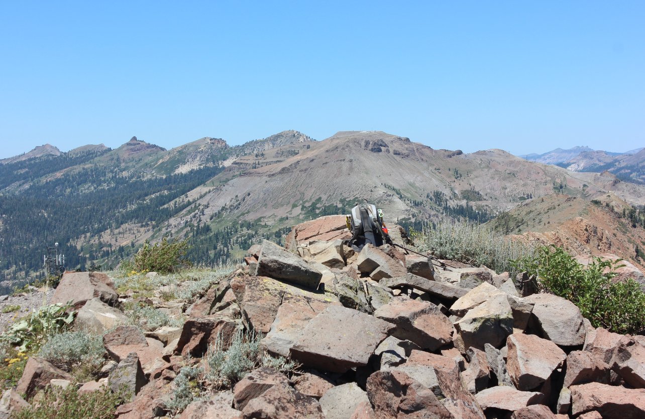
Looking north from the peak
you can see Squaw Peak as well as Granite Chief, Needle and Lyons Peak
behind from right to left. |
 |
|
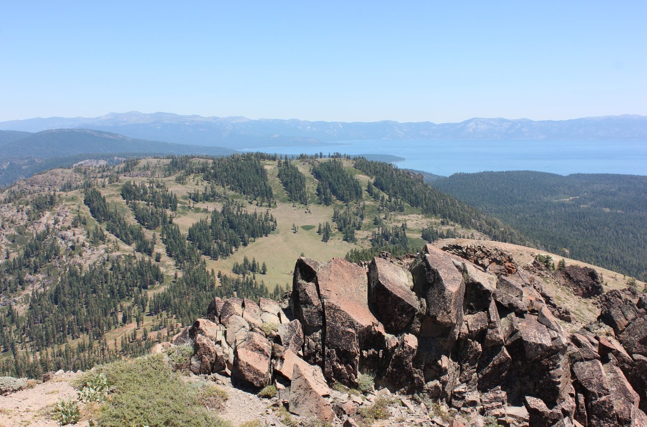
To
the west is the ever-present Lake Tahoe, with the east side peaks (Mt.
Rose, Snow Valley, Bliss and Genoa) visible from here north to south. |
 |
|
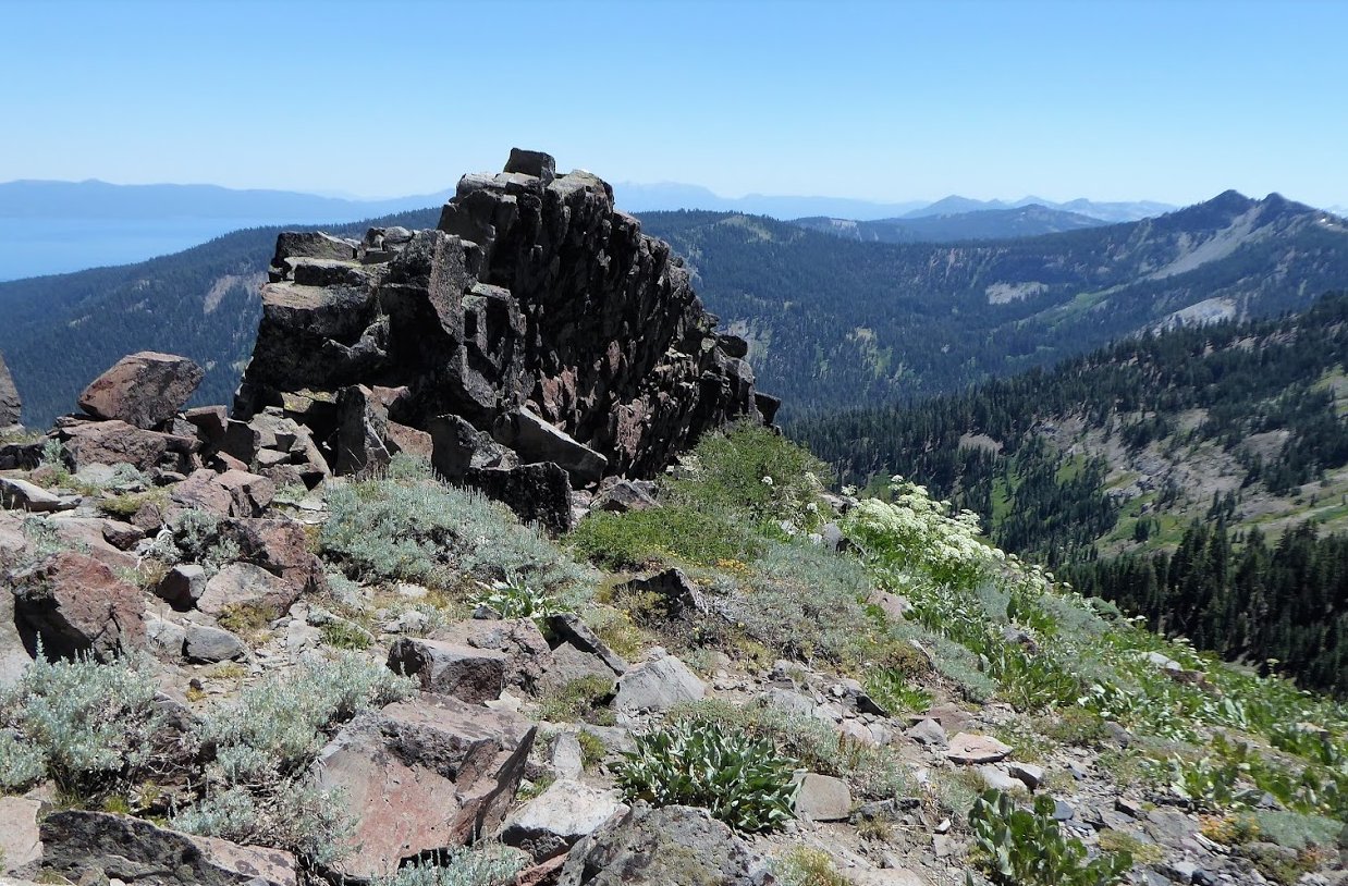
The
rock formation at the actual peak was very intriguing. Basalt
on
its side forming what almost looked like a wall. To the right
you
can see Twin Peaks further down the PCT and Tahoe Rim Trails. |
 |
|
Today's group of adventurers
just before we headed down from the peak. |
 |
|
It
took about 7 miles to get to the top of Wade Peak the way we went, but
heading back down was only going to be about 2 miles. They
were
steep and slippery along the access roads for the ski resort. |
 |
|
Greg B and Mark mulling the
best way down from the peak. |
 |
|
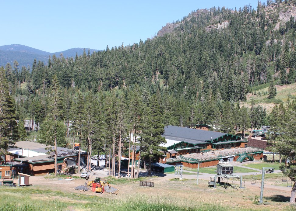
The
lodge is the destination you will want to constantly head for as you
navigate the roads back down. Just as an aside, there is a
trail
up to Lake Estelle (which we saw from the ridgeline) just to the left
of the "Kangaroo" labeled building on the left side of this area. |
 |
|
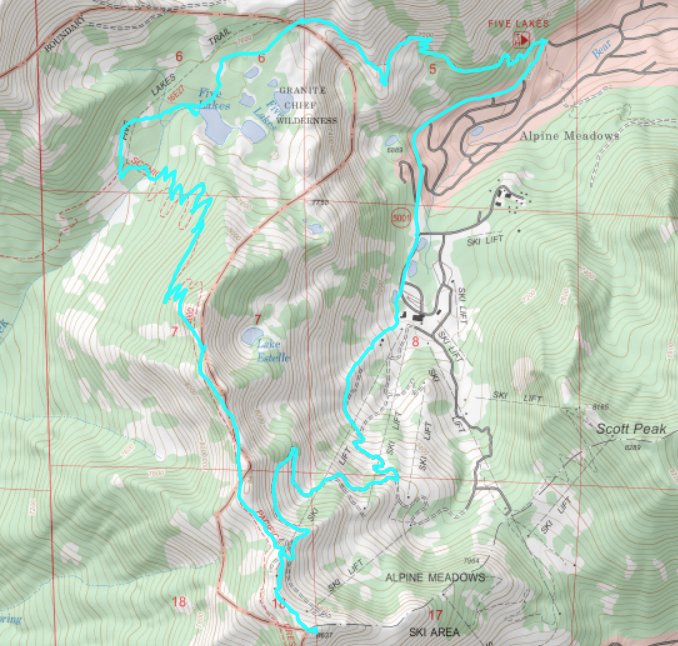
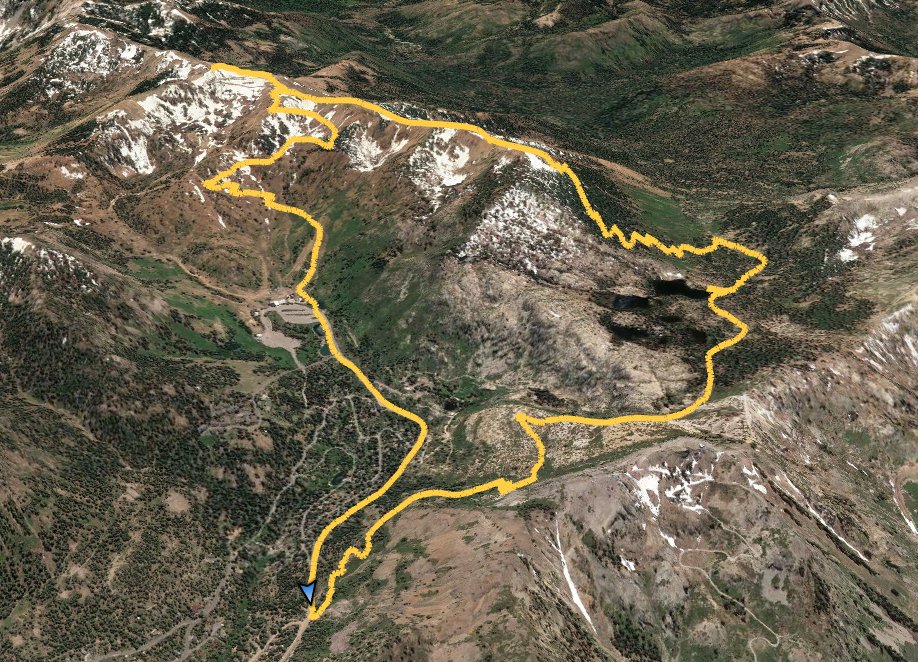
GPX image of the hike. |
|
