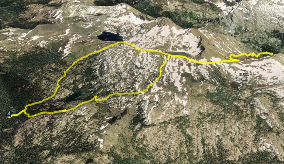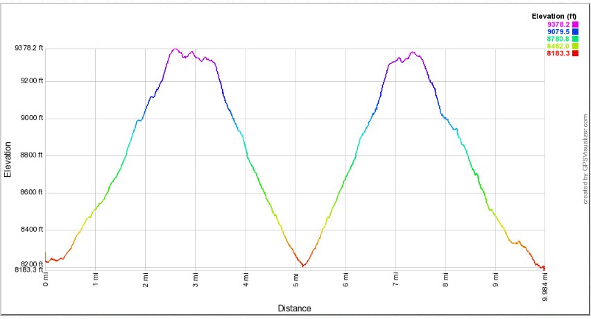
Distance: 10.0 Miles
Vertical Gain: 2300'
Group Size: 1
Hike Rating: Easy Moderate Hard Strenuous
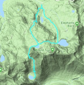
 GPX
for
this trip
| Start Coordinates: | N 38 41.503, W 120 00.570 | End Coordinates: | Same as Start Coordinates | ||
| Car Shuttle Req'd: | No | Parking Directions: | Take
Highway 88 to the Woods Lake Road just east of Caples Lake.
Head down the paved road to the parking area for Woods Lake,
and there is a fee to park in this location. The trailhead
for this hike is just to the south from the parking spots. |
||
| Hazards of Note: | The
drop down to 4th of July Lake from the saddle is over 1000' feet of
elevation that you will have to climb back in the sun with little shade. |
Crowd Factor: | Moderate to Round Top Lake, Minimal beyond. The first part of the trail is a popular hike, especially in the spring and early summer for the spectacular wildflower displays along the trail. | ||
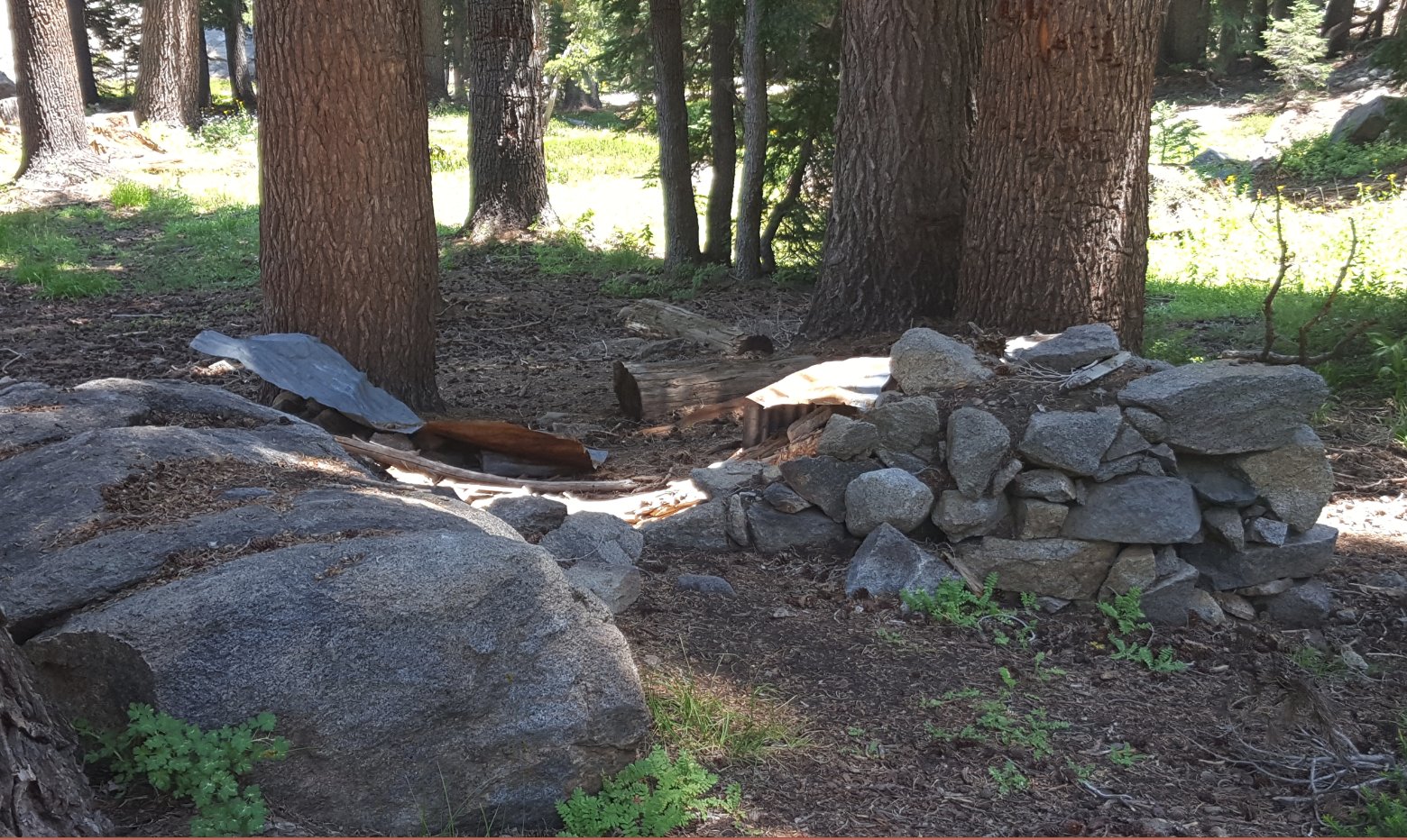
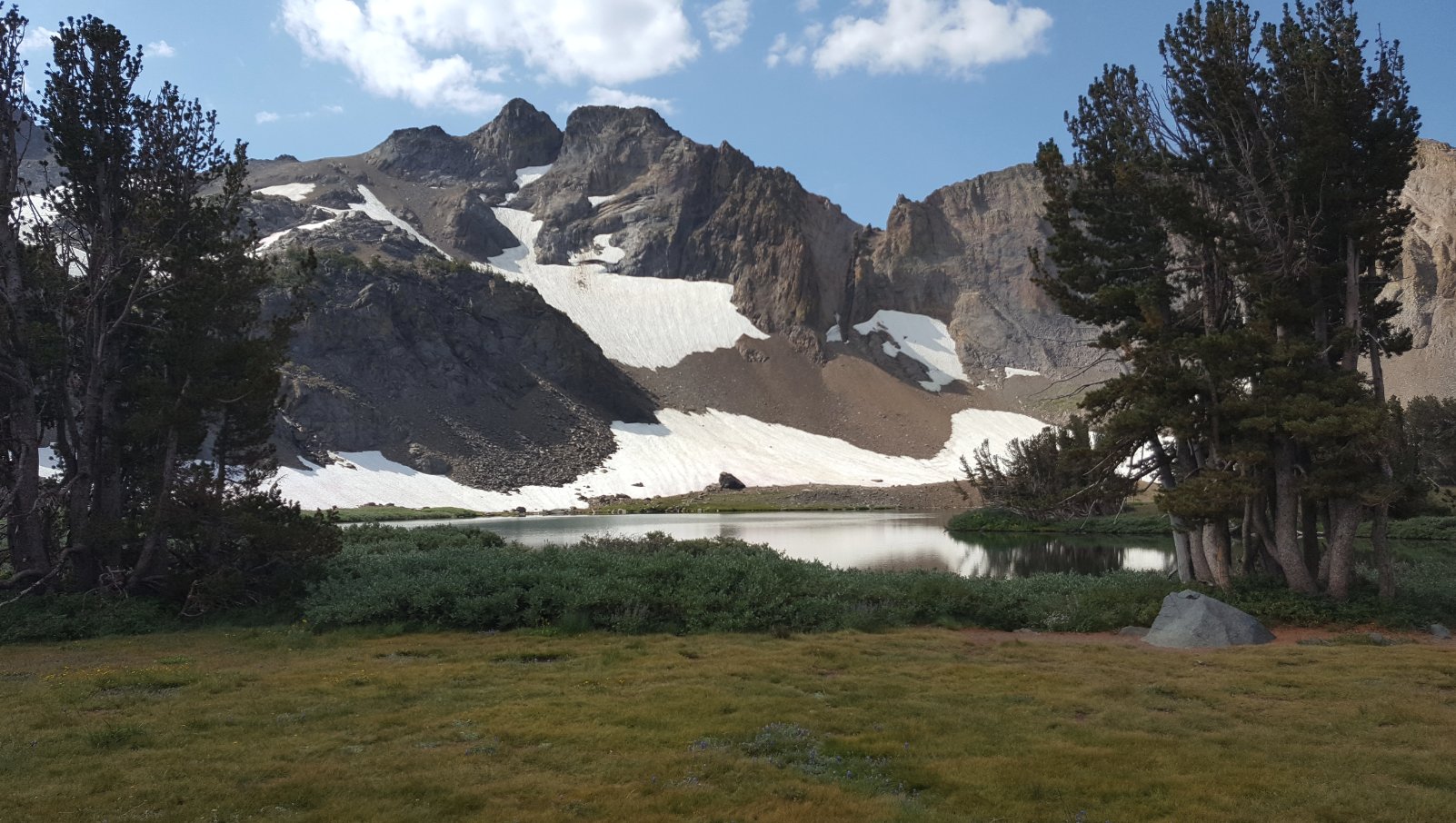
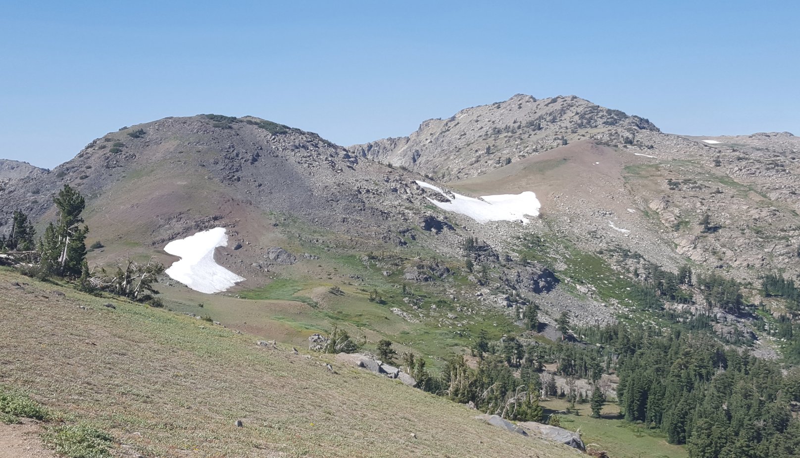
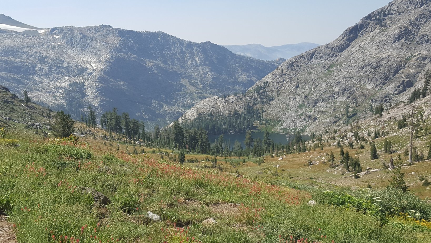
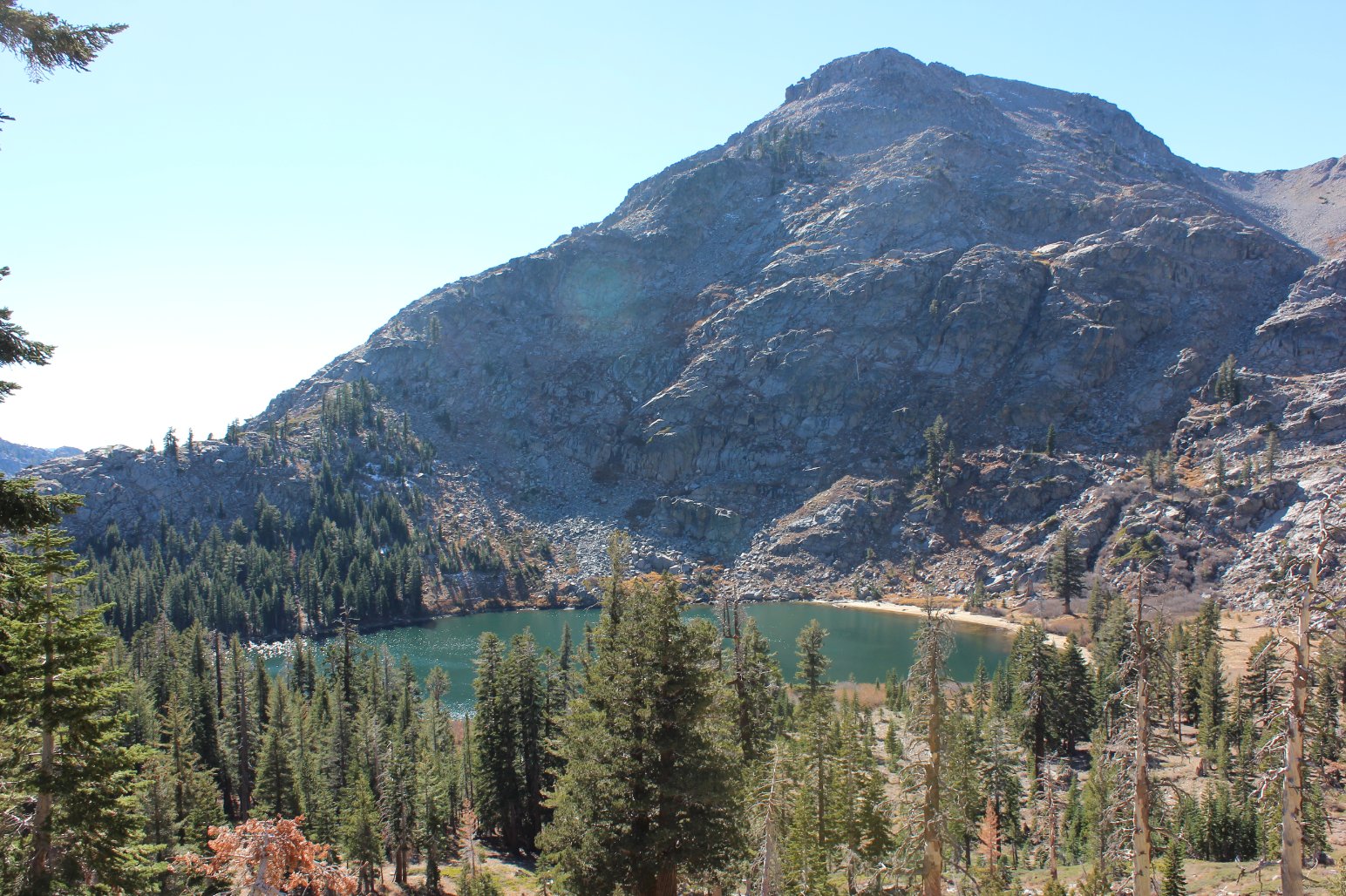
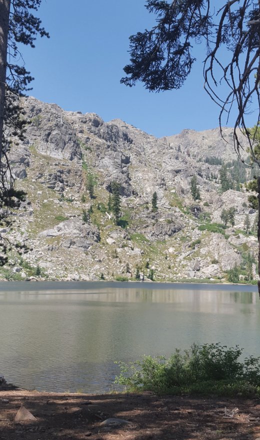
| General Notes: From the parking area head south for the Lost Cabin Trail. At the junction for Round Top Lake and Lake Winnemucca be sure to head toward Round Top Lake. On this trail you will pass to the west of Woods Lake, seeing it from a distance but never getting very close to it. The trail climbs continually up toward Round Top Lake, passing by the location of Lost Cabin mine with the ruins of an old settlers cabin on the left side of the trail. When you reach Round Top Lake, head to the west, following the trail around the base of "The Sisters" until you reach the saddle between The Sisters and 4th of July Peak. From here the trail will head downhill over 1000' to 4th of July Lake. |
|||||
