An edited version of my adventure on the High Sierra Camps Loop appeared in the second issue of Sidewalk - A hiking and backpacking magazine
Day 6
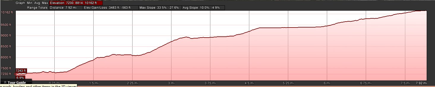
Distance: 8.3 Miles
Vertical Gain: 3000'
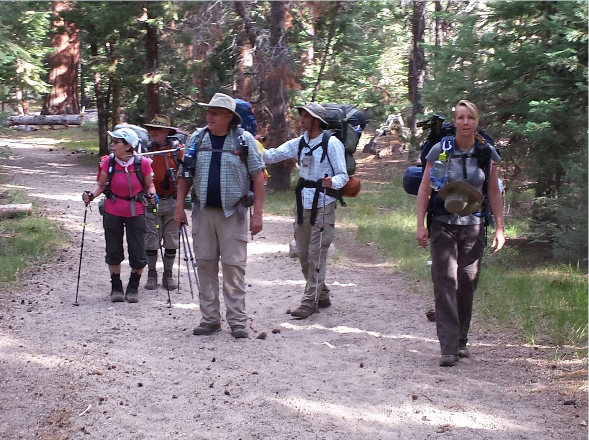
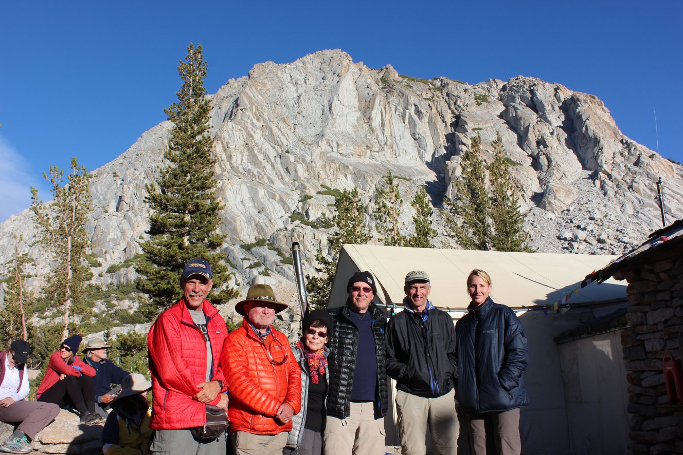
Group Size: 6
Hike Rating: Easy Moderate Hard Strenuous
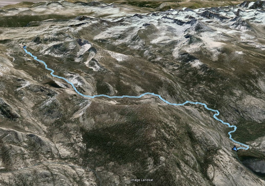
 GPX for
this trip
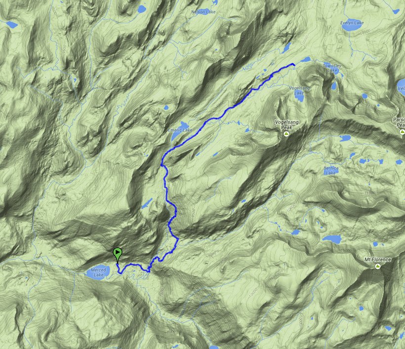
GPX for
this trip
| Start Coordinates: | N 37 52.699, W 119 20.315 (parking for first day's hike) | End Coordinates: | Same as Start Coordinates | ||
| Car Shuttle Req'd: | No | Parking Directions: | Take Highway 395 south from Monitor Pass toward Mono Lake. At Lee Vining, turn on Highway 120 (Tioga Pass) and enter Yosemite Park on the east side. About 10 miles into the park turn at the Wilderness Permit area (Tuolumne Meadows Lodge Road) and continue to the parking coordinates for backpacker vehicles. | ||
| Hazards of Note: | Wildlife, especially bears. Some of the trails are difficult and footing can be tenuous at times. Much of the uphill and downhill sections are made up of granite steps which are rough on the feet after time. | Crowd Factor: | Mixed. Yosemite is a very popular destination during the summer months, and this hike and option to stay in the HSC locations with served meals is available only by lottery system. The further into the park the trails will be less crowded, but there are many places for day hikers to pick up the trail system. | ||
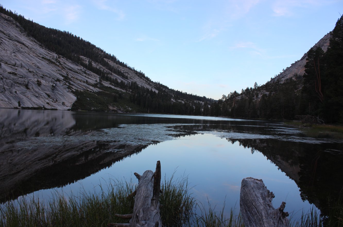
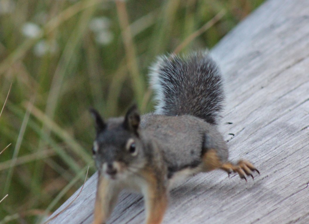
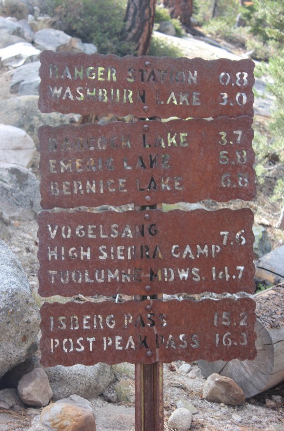
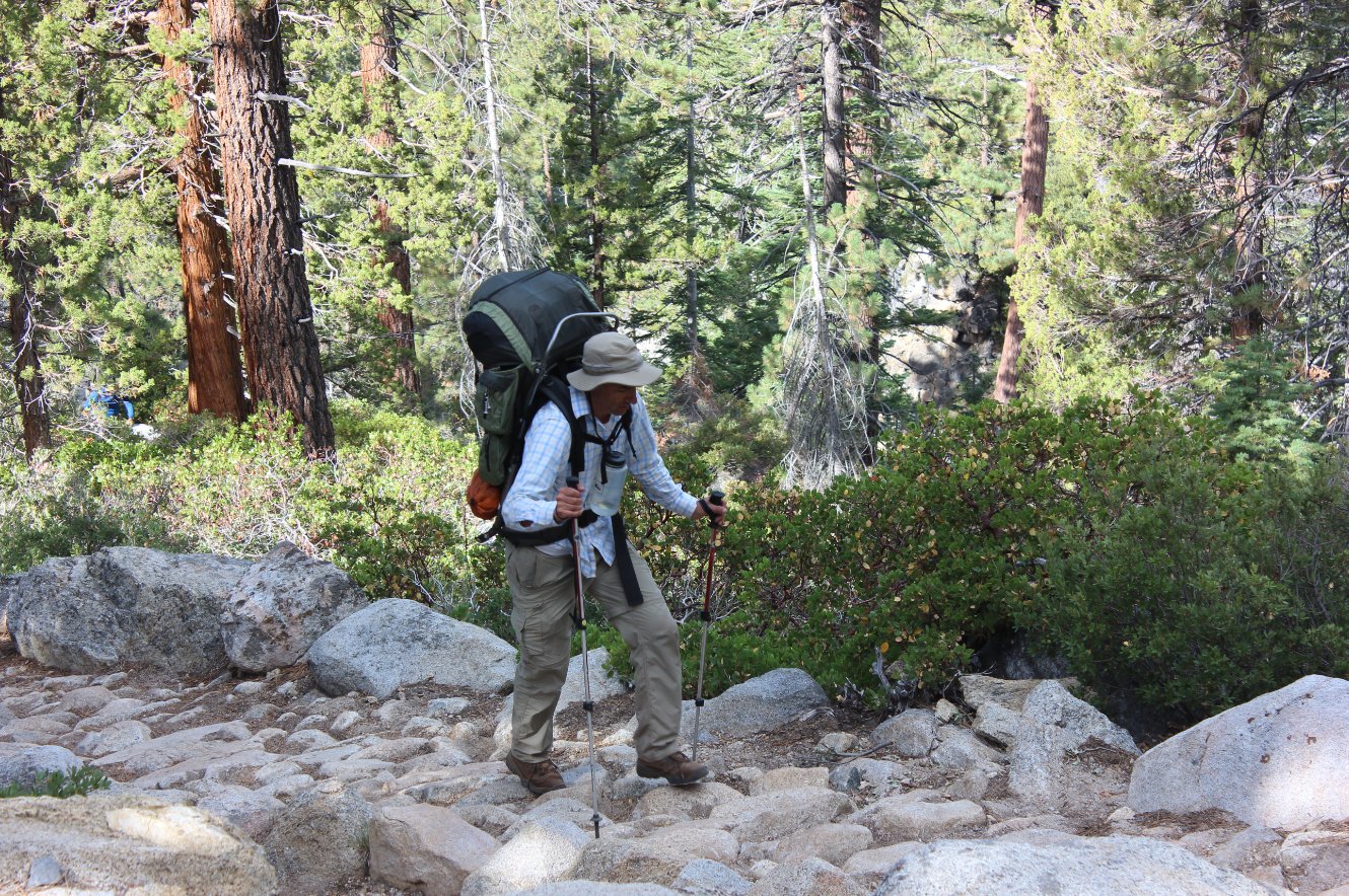
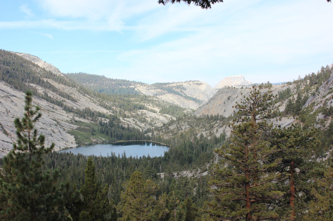
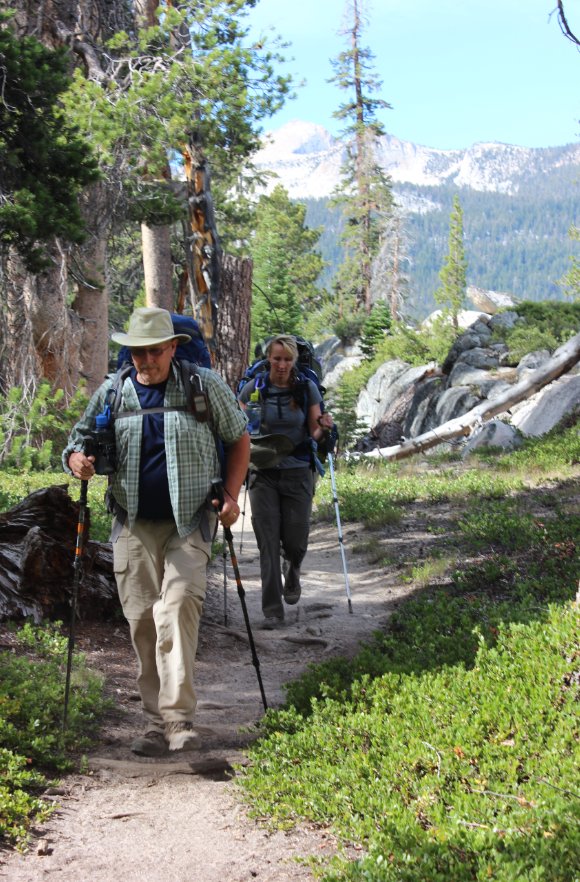
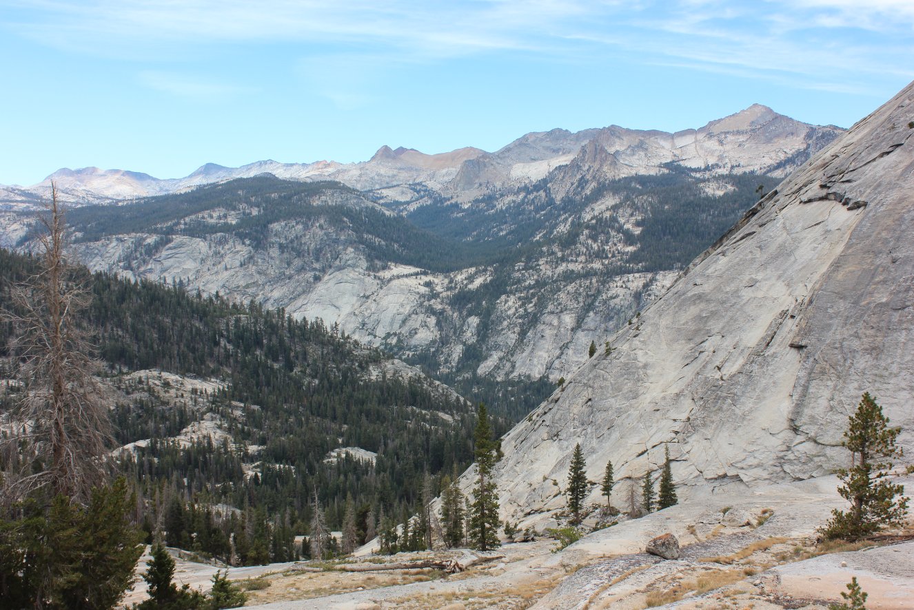
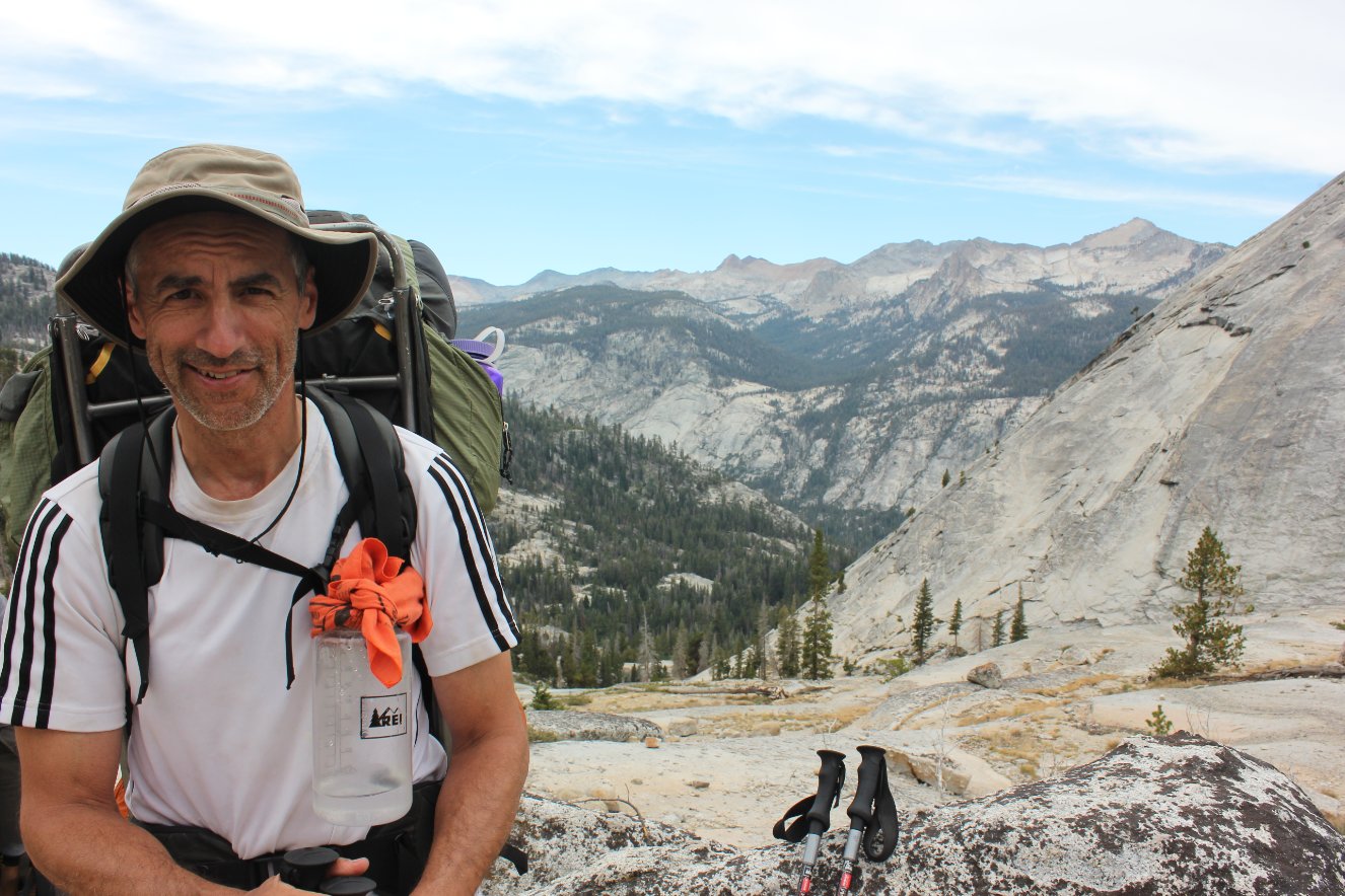
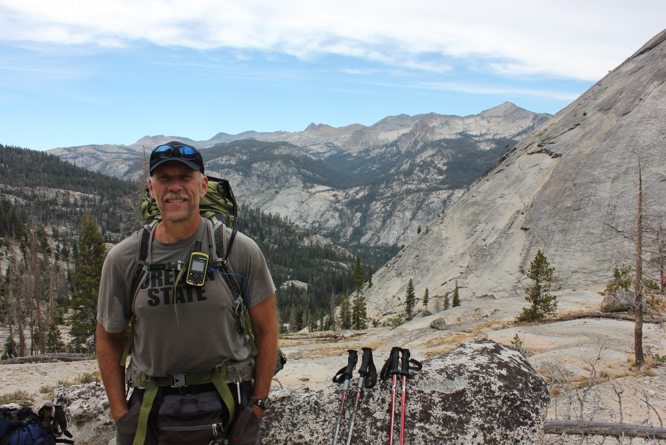
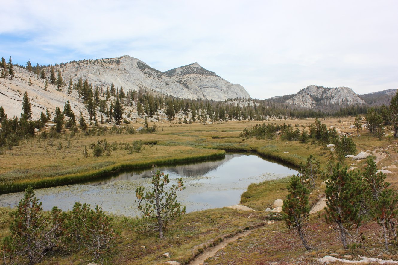
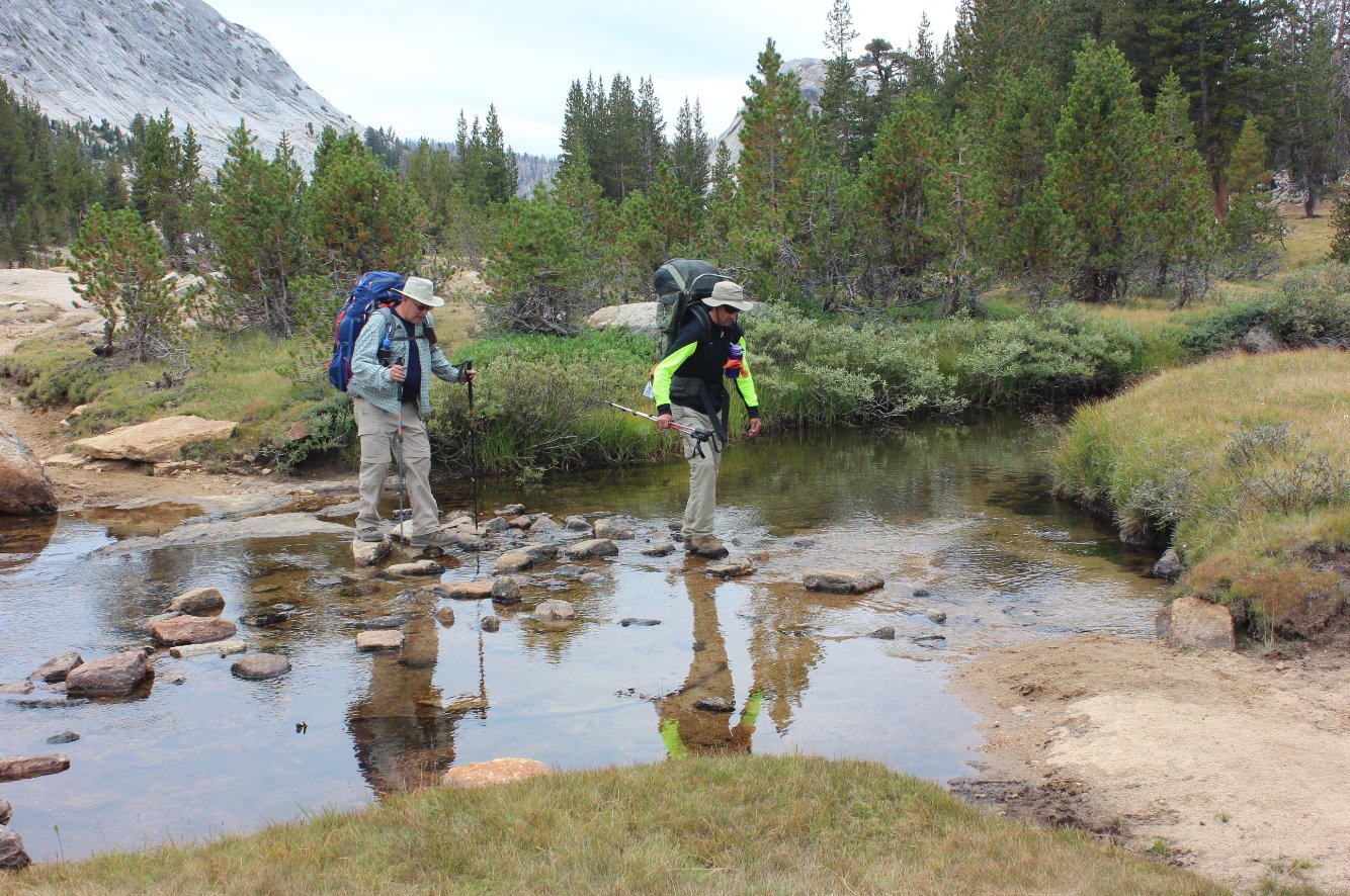
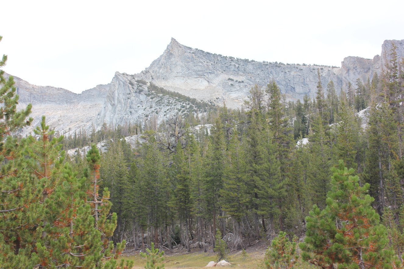
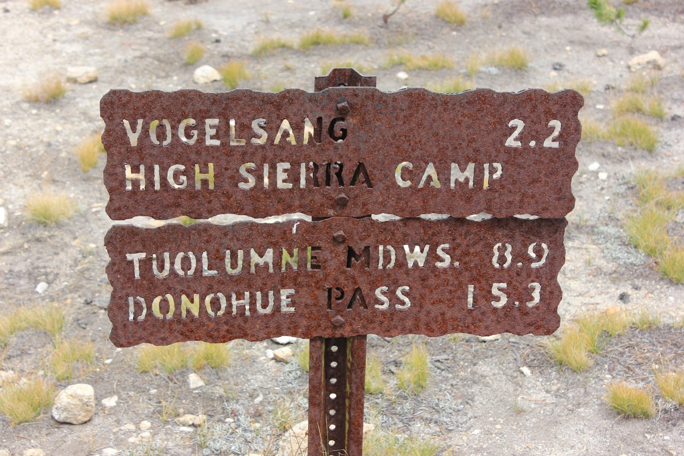
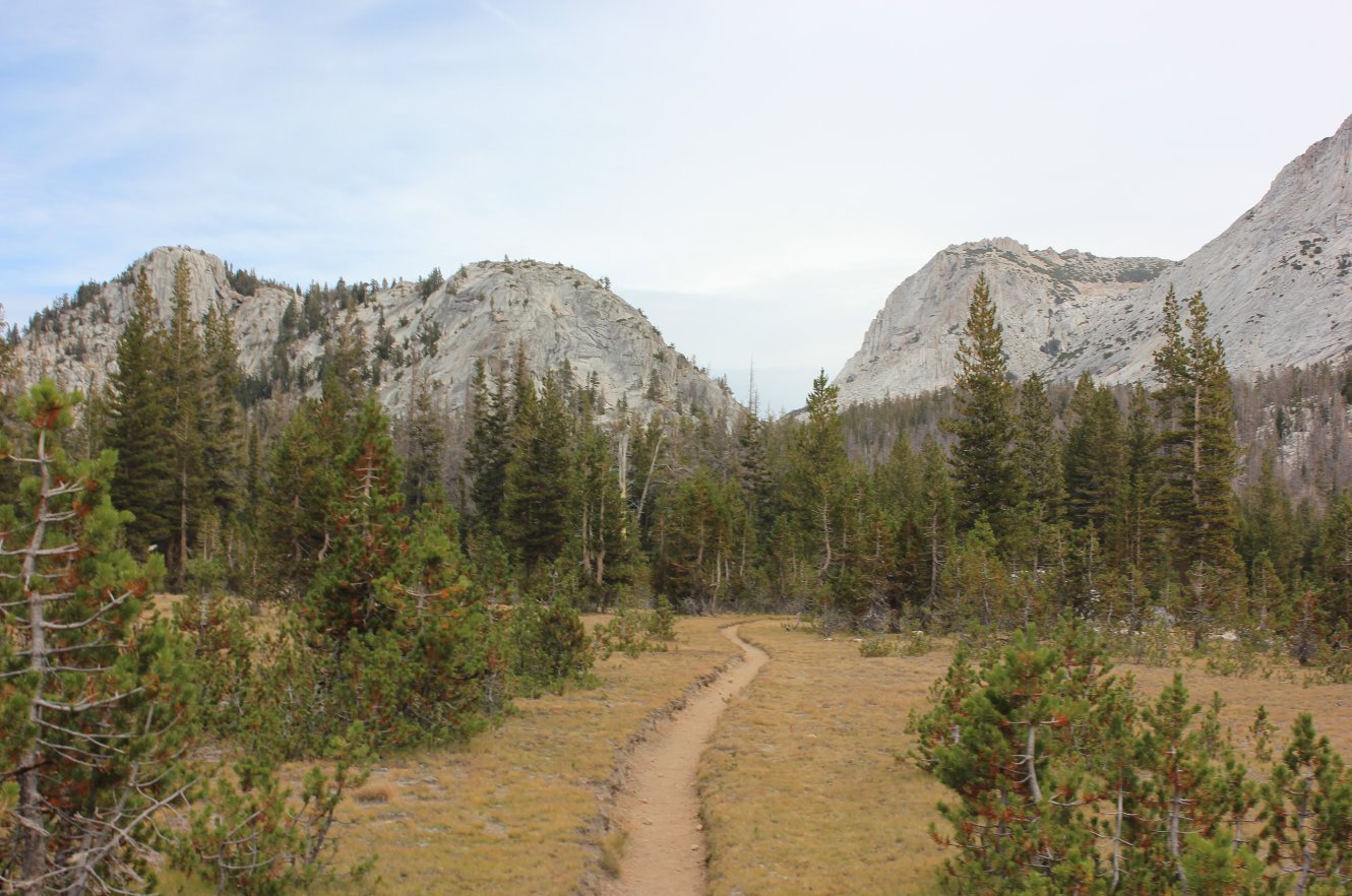
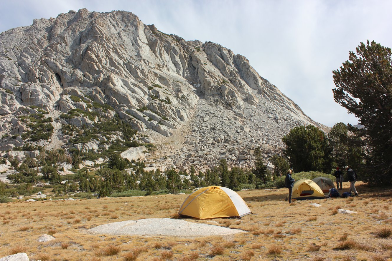
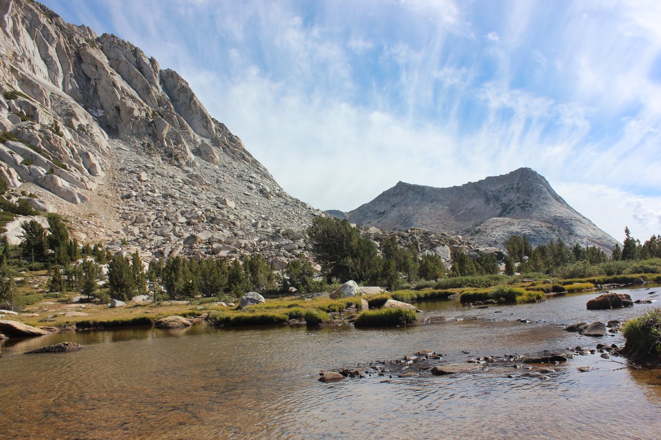
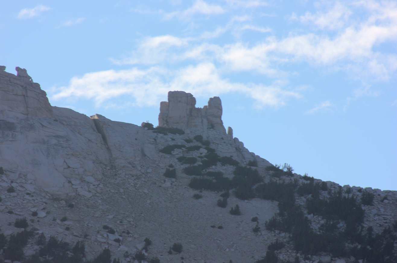
| General Notes: Day five is one definitely the most strenuous of the hikes along this trip. The first mile gains about 1100 feet, and at the point it flattens out for just a moment, allowing time to decide whether to choose the Fletcher Creek path to the left (2 miles shorter) or the longer trek through Vogelsang Pass. We chose the shorter route, but the climb was tremendous with the next couple of miles after this junction gaining another 1000 feet in a series of granite switchbacks. According to the ranger that was talking to a group we passed along the way, there were 39 in this particular section. It is very steep and just trudging ahead a step at a time is the way to get up this significant climb. There is a wonderful viewpoint just to the west of Babcock Dome, with a broad view of the entire Clark Range to the Southwest of where you are looking. It is a good point to rest, and there is an optional side trip just a little further on of 3/10 of a mile each way to visit Babcock Lake. About 5 miles into the hike you will reach the western end of Fletcher Meadows, and wonderful flat area that is about a mile of not climbing. The meadow was pretty dry by this time in late August, but still beautiful with a lot of wildlife to be spotted and photographed. At the eastern end of the meadow you cross Fletcher Creek, and this was a good spot for our lunch before making the final ascent of another 1400 feet over the last 2.2 miles. |
|||||