
|
Lower
Yosemite Falls Hike
|
|
Trip Date: 08/23/2019
Distance: 4.3 Miles
Vertical Gain:
100'
Group Size:
4
Hike Rating:
Easy
Moderate
Hard
Strenuous |

 GPX
for
this trip GPX
for
this trip
|
|

|
Start Coordinates: |
N 37 44.670, W 119 35.063 |
|
End Coordinates: |
Same as Start Coordinates
|
| Car Shuttle
Req'd: |
No |
|
Parking
Directions: |
Enter Yosemite National Park
and head to the valley parking coordinates along South Drive.
Follow signs to the parking area near the center of the
park. |
| Hazards of
Note: |
Vehicles when crossing the
roads are about it. |
|
Crowd Factor: |
High. Yosemite
Valley is extremely popular and the earlier in the day you can do this
hike the better. |
General Notes:
From
the parking lot described head north toward the Ansel Adams Museum in
the center of the valley floor. From there follow the signs
to the Lower Yosemite Falls viewpoint. You will initially
walk alongside the road for a few hundred yards, and then head north
until you make a hard turn to the west and reach the viewpoint.
From the falls you head south toward Yosemite Village, cross
North Road and then follow the bike trail past Yosemite Lodge until you
reach the open Cook's Meadow. Continue south until you reach
a large bridge over the meandering Merced River, then turn left and
parallel the South Road until you reach the parking area where you
started to complete a 4+ mile loop. |
|
|
Starting off on the
well-marked, paved trail toward the Lower Yosemite Falls. |
 |
|
As amazing as all of the views
surrounding us, our 14 month old granddaughter was most fascinated by
the rocks all around.
|
 |
|
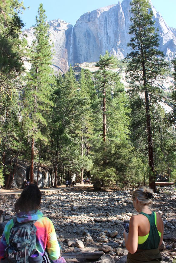
As you get close to the Lower
Falls viewpoint, a nice look at the Upper Falls is quite a distraction
high above. |
 |
|
Lower Yosemite Falls is
spectacular in itself, even on this late August day after a long, wet
winter. The viewing platform was well-populated as were the
rocks near the base of the falls by some taking advantage of the cool
waters on a warm day. |
 |
|
Heading south from the Lower
Falls be sure to look back and check out the upper falls from another
impressive angle. |
 |
|
As mentioned previously, the
little one just loved all the rocks around and couldn't get enough of
exploring them fully. |
  |
|
Evidently the deer in the valley are very used to people and didn't bat an eye as we walked on by them.
|
 |
|
Cook's Meadow was spectacular, as seen from this vantage point looking southwest toward Cathedral Rocks East. |
 |
|
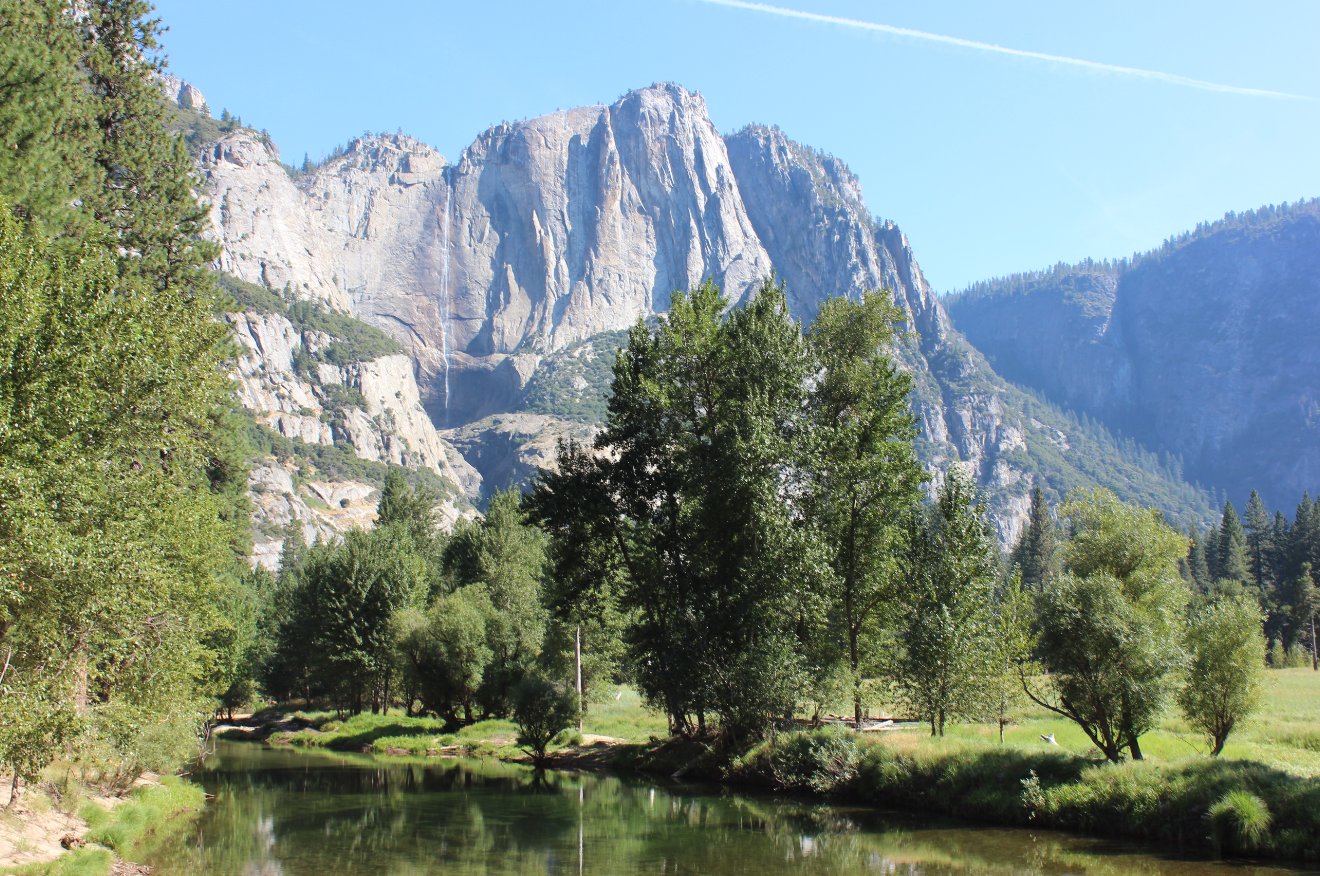
A nice
bridge across the Merced River in the middle of the valley offers
another great vantage point of the Upper Yosemite Falls to the North. |
 |
|
Views to the southwest from the bridge aren't too shabby, either.
|
 |
|
Close to
the end of the loop trail is a vehicle bridge you cross, and a clear
view of Halfdome can be spotted from almost the exact middle of the
bridge. |
 |
|
GPS Track of the full hike, starting at the far right and then heading counter-clockwise around the valley floor. |
 |