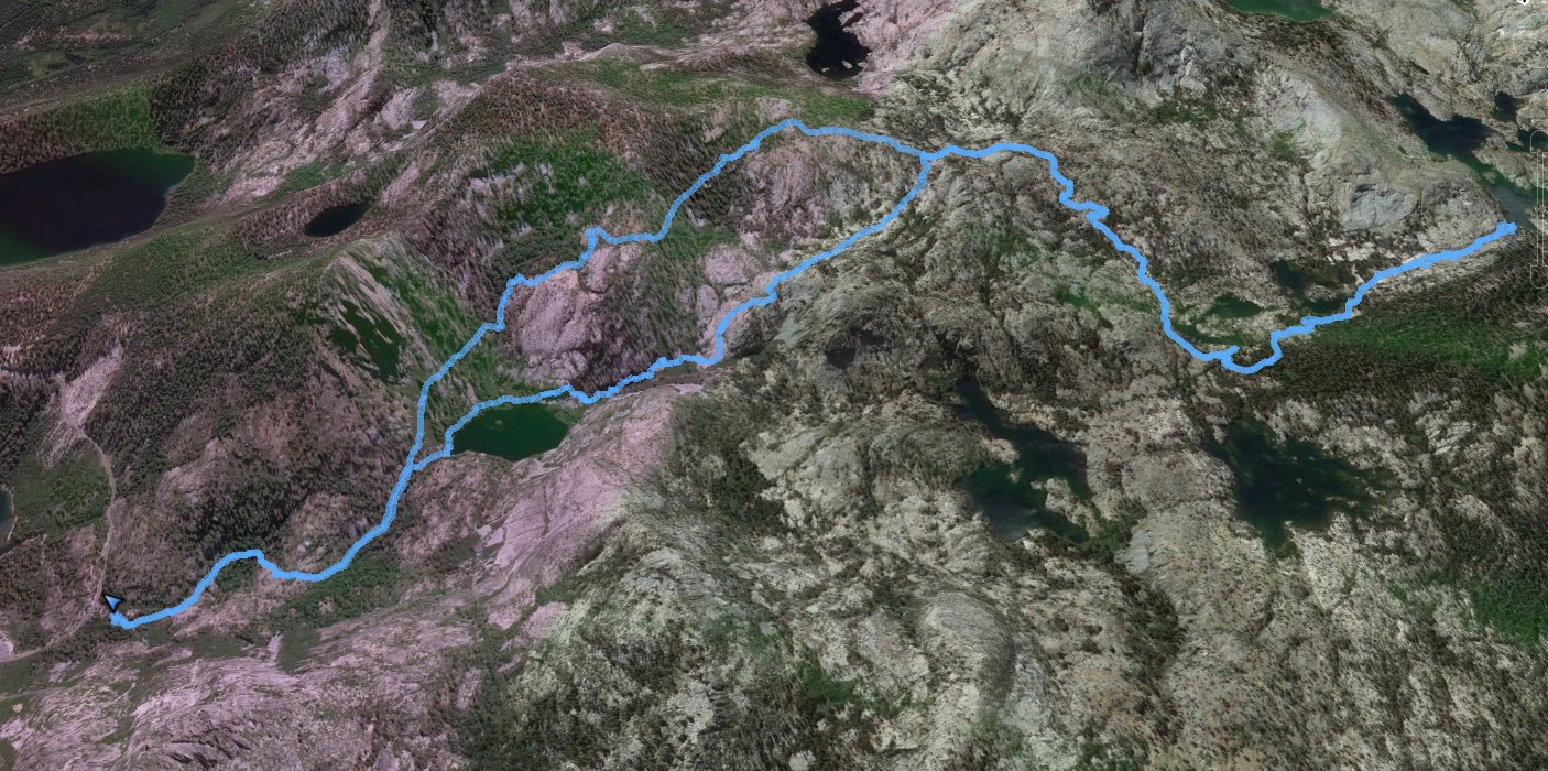
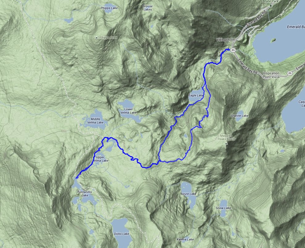
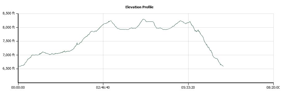
Distance: 10.75 Miles
Vertical Gain: 1800'
Group Size: 1
Hike Rating: Easy Moderate Hard Strenuous
 GPX for
this trip
GPX for
this trip
| Start Coordinates: | N 38 57.117 W 120 06.796 | End Coordinates: | Same as Start Coordinates | ||
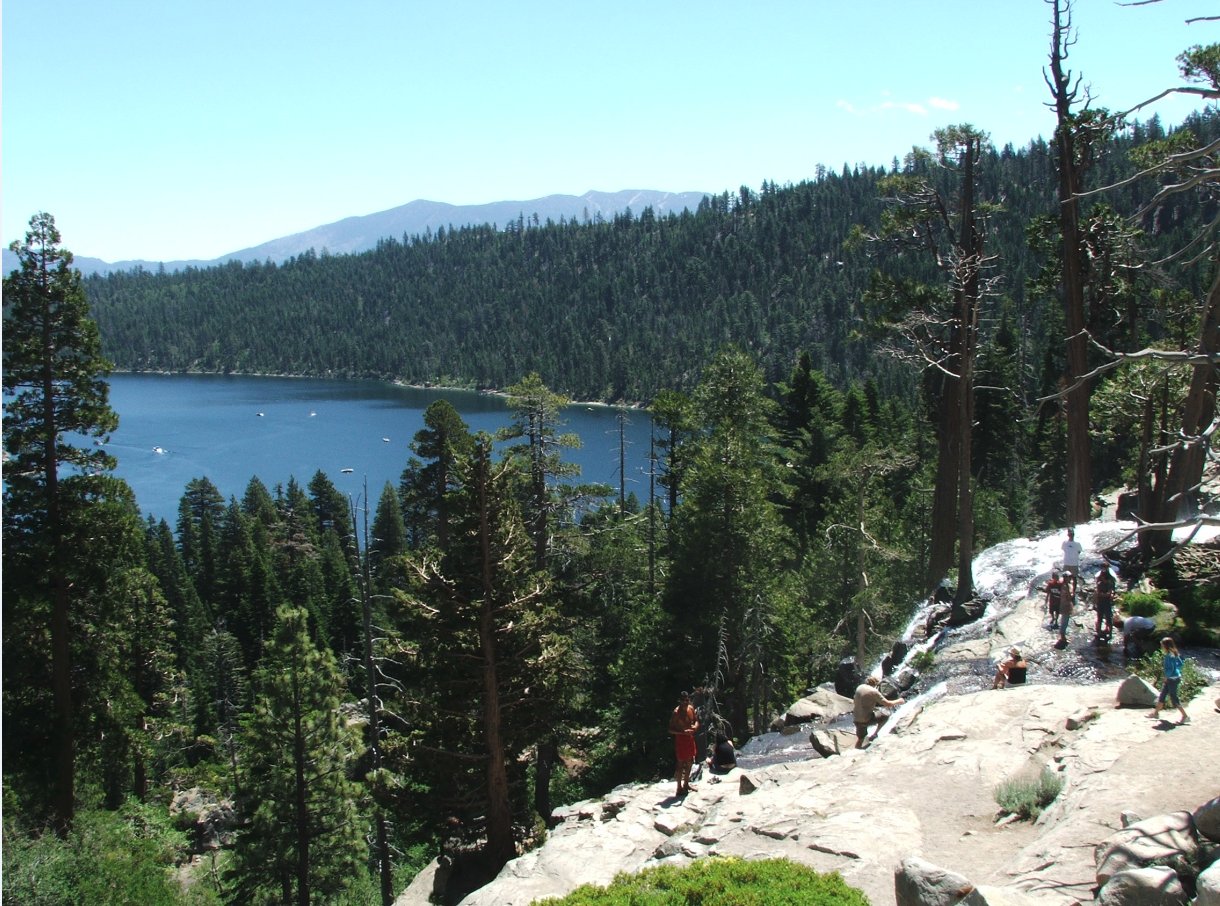
| Car Shuttle Req'd: | No | Parking Directions: | Take Highway 89 to Emerald Bay. Parking is available for a $5 fee in the Eagle Falls parking lot, or on the street just outside of it. | ||
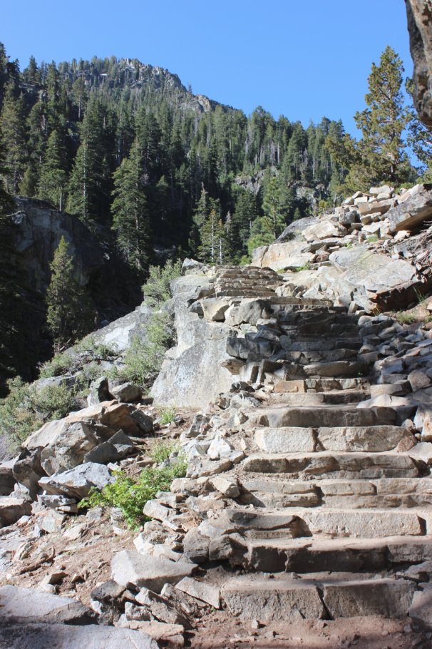
| Hazards of Note: | Some long uphill sections of granite boulders requiring careful stepping. | Crowd Factor: | Busy up to Eagle Lake, especially on weekends. This is one of the most popular easy hikes in the Tahoe Basin area. Past Eagle Lake the number of people thins out significantly. | ||
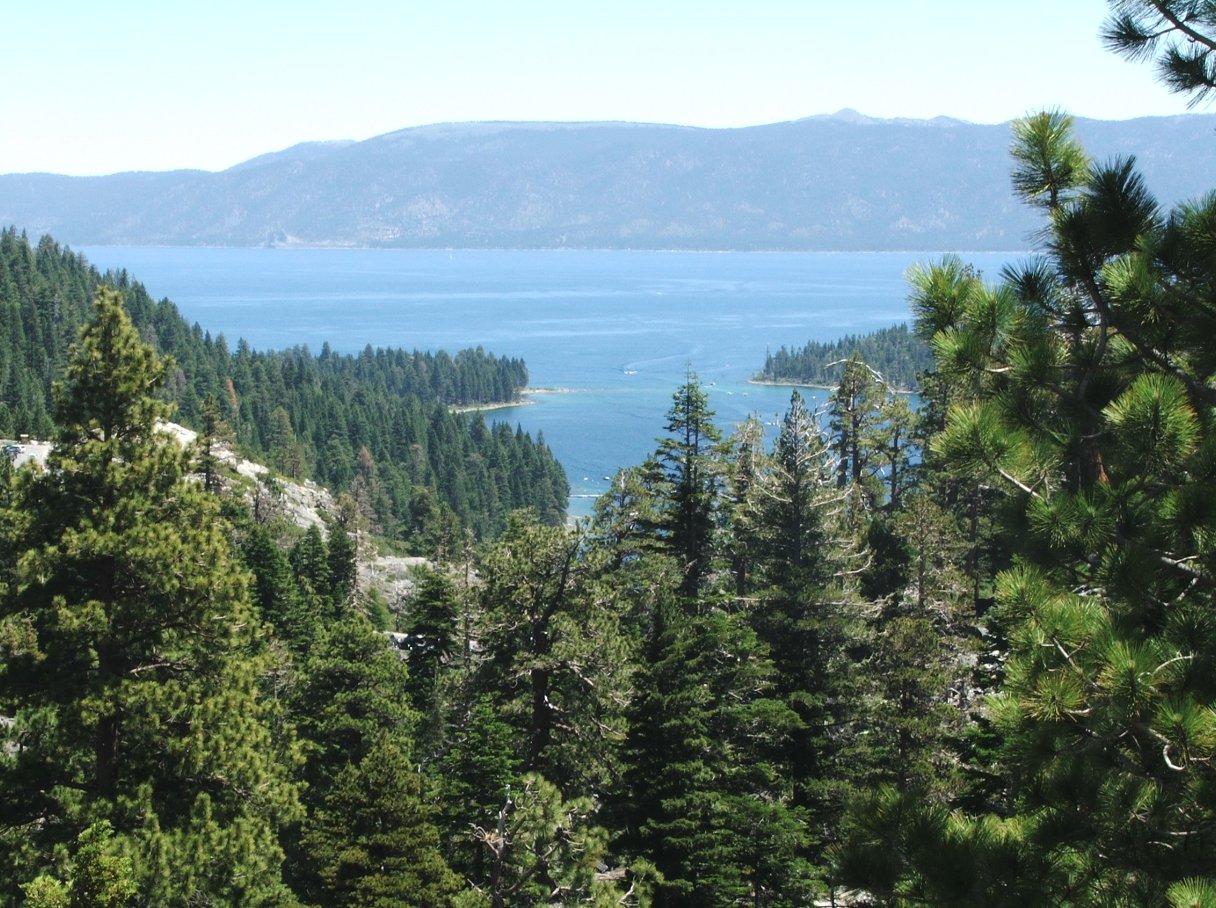
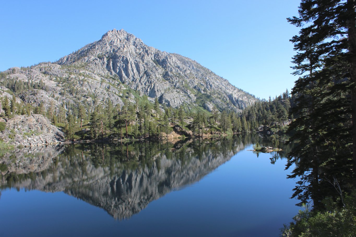
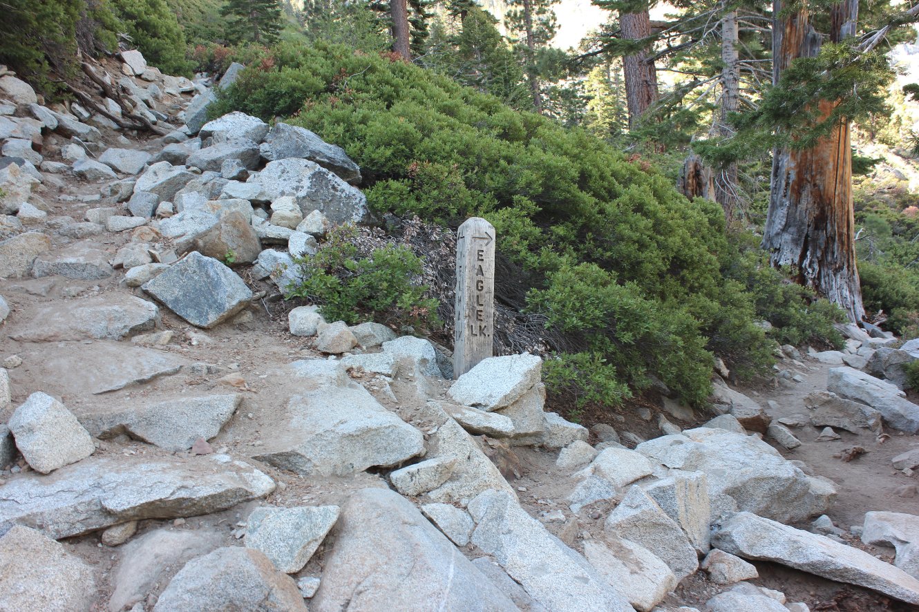
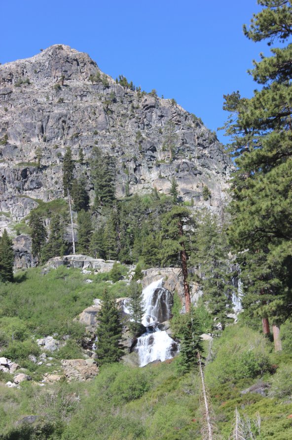
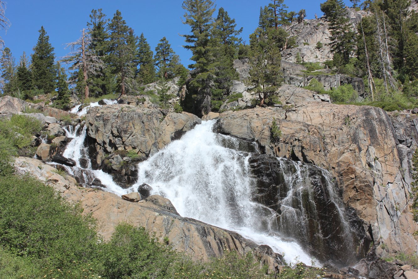
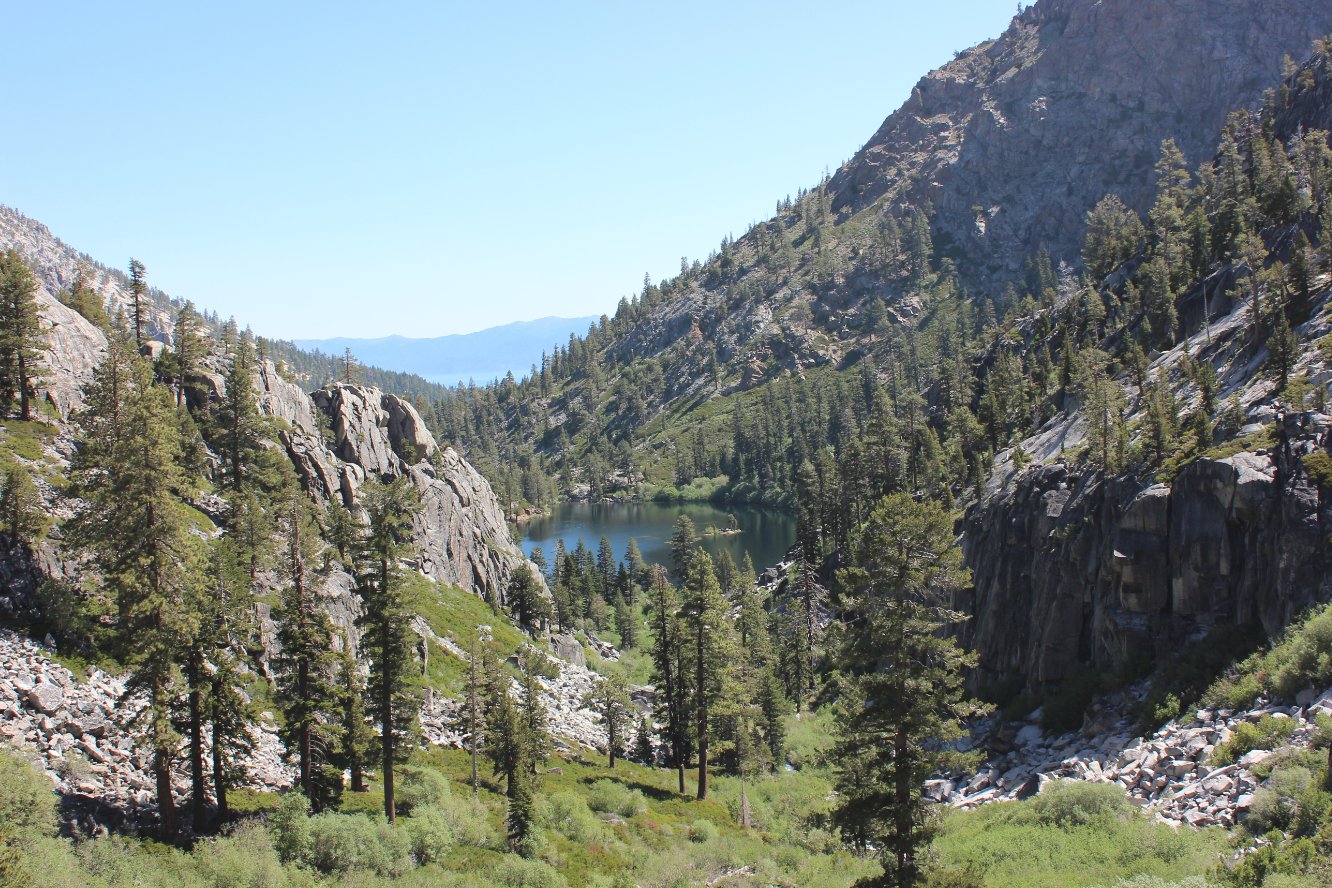
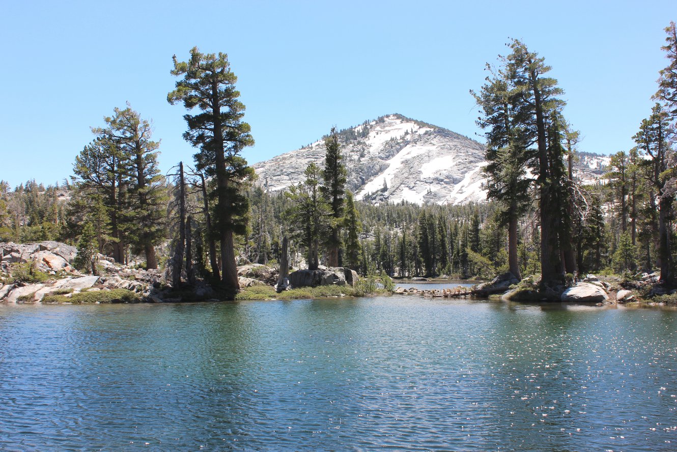
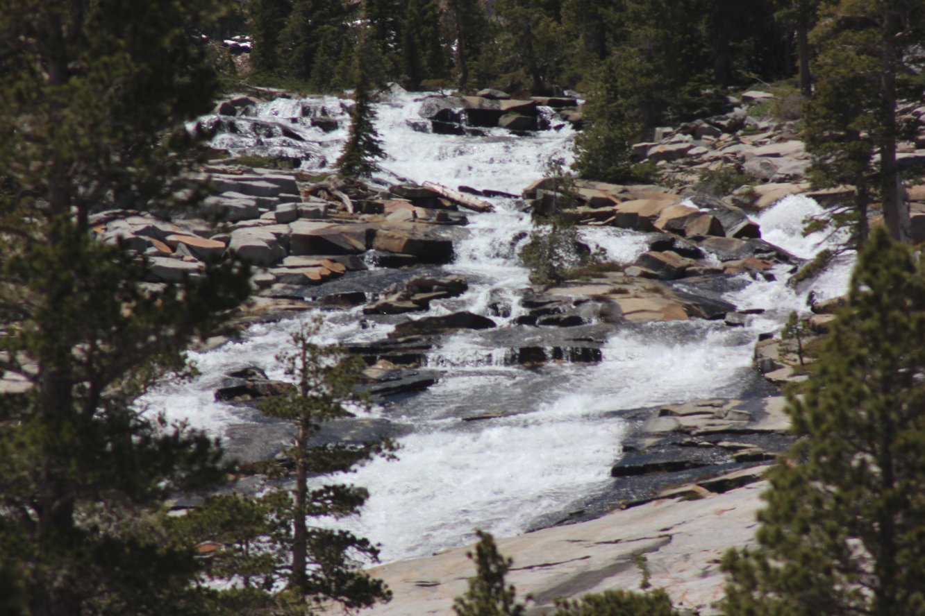
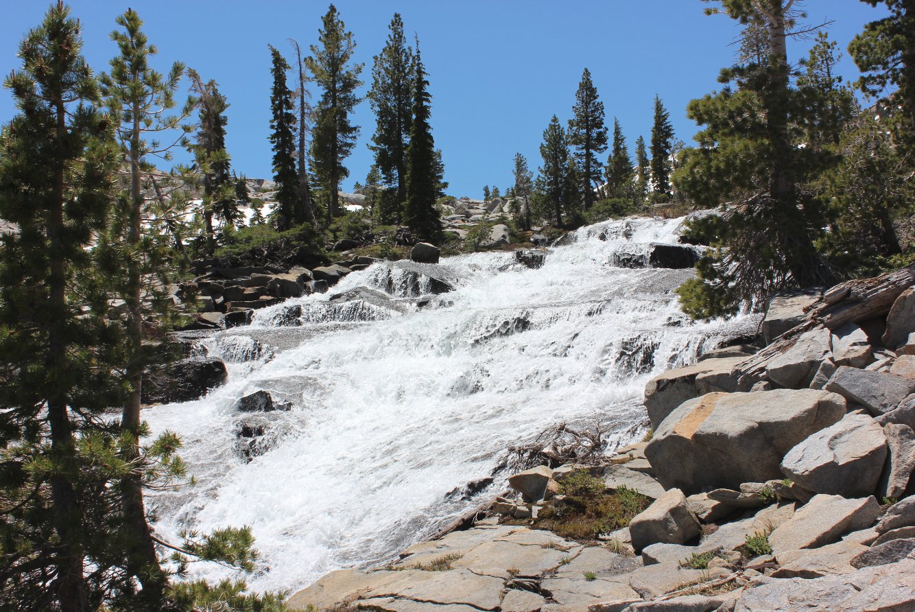
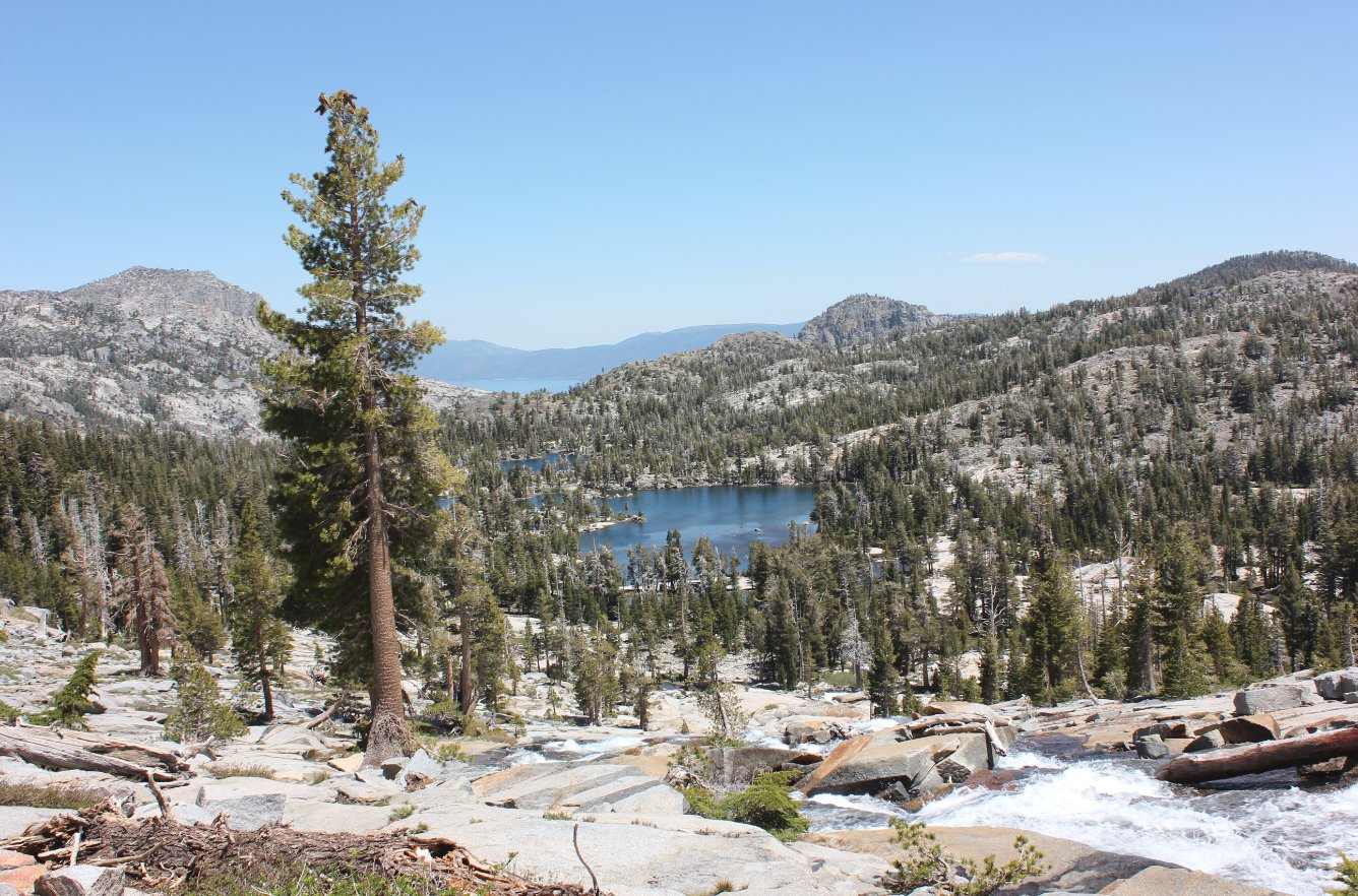
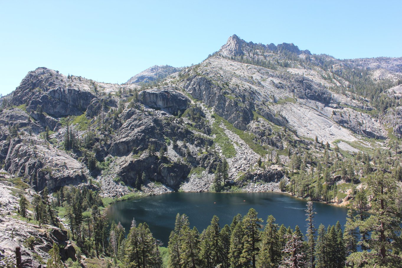
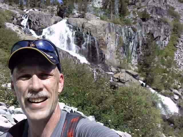
| General Notes: The hike to and from Eagle Lake is a very popular introduction to Desolation Wilderness. Past Eagle Lake is much less travelled, but still will have a number of people on the trails itself. The cross country section of this hike, from the west end of Eagle Lake up past the unnamed falls and finally reaching the trail once again took three hours to go three miles and was extremely strenuous. The trail to Middle Velma Lake is rocky and has significant loose footing. The section from Upper Velma to Fontanillis Falls is cross country over open granite. Since this is a hike into Desolation Wilderness, you will need a day permit (free at the trailhead) and the group size limit is 12. |
|||||