Distance: 8.8 Miles
Vertical Gain: 1800'
Group Size: 3
Hike Rating: Easy Moderate Hard Strenuous
 GPX
for
this trip
GPX
for
this trip 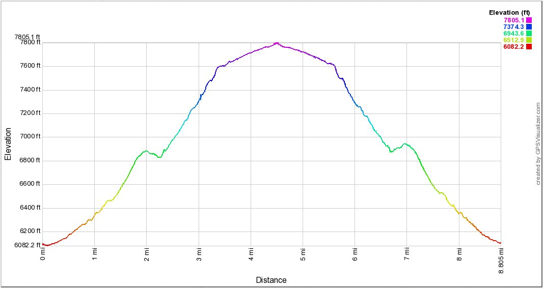
| Start Coordinates: | N 38 40.037 W 119 48.941 |
End Coordinates: | Same as Start Coordinates | ||
| Car Shuttle Req'd: | No | Parking Directions: | Take
Highway 89 to the town of Markleeville. Turn west on Hot Spring
Rd, than turn left to follow Pleasant Valley road. This will turn
into Sawmill Road, and then turn onto Forest Service road 71 and follow
this High Vechicle clearance (or 4WD) required dirt road to the parking
area where the signed start of the trail can be found. Note that
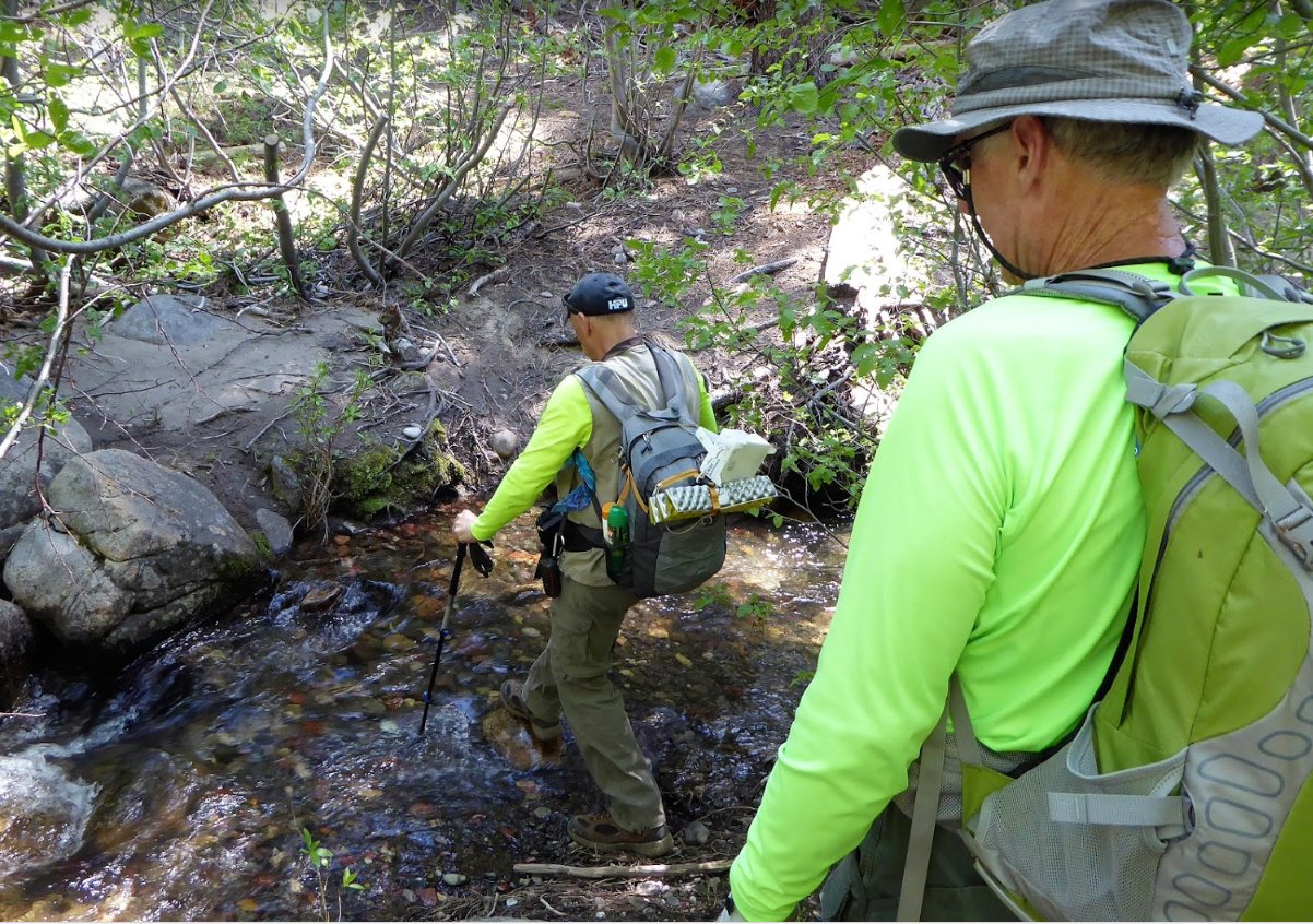
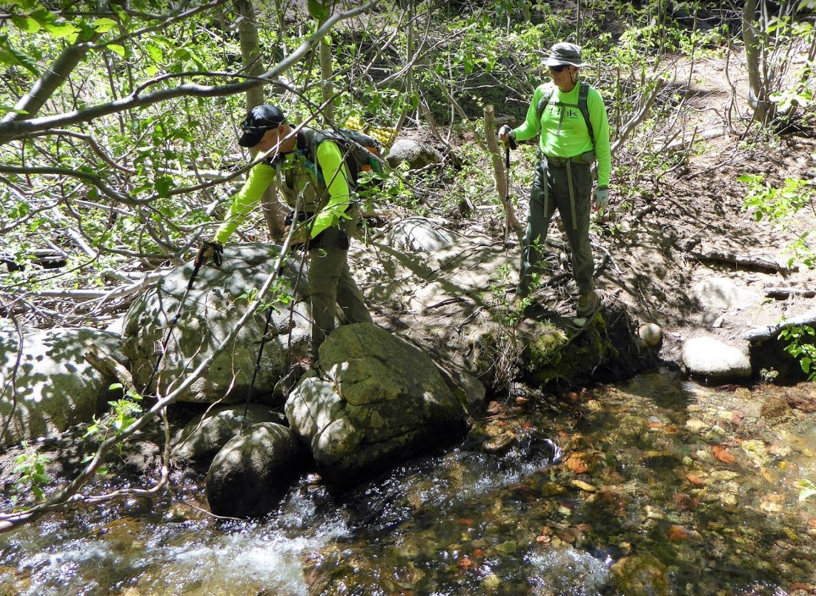
there are a couple crossings of Spratt Creek on this section of road
and it may not be passable during times when the water is high. |
||
| Hazards of Note: | Route-finding
skills
were necessary before 2019 but the trail may have improved
significantly with recent maintenance by multiple groups.
Previously this trail required orientation experience and
good navigational skills. This hike has been rated as "Hard"
rather than "Moderate" due to this factor. |
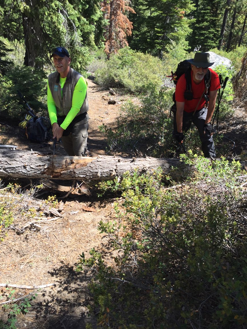
Crowd Factor: | Few.
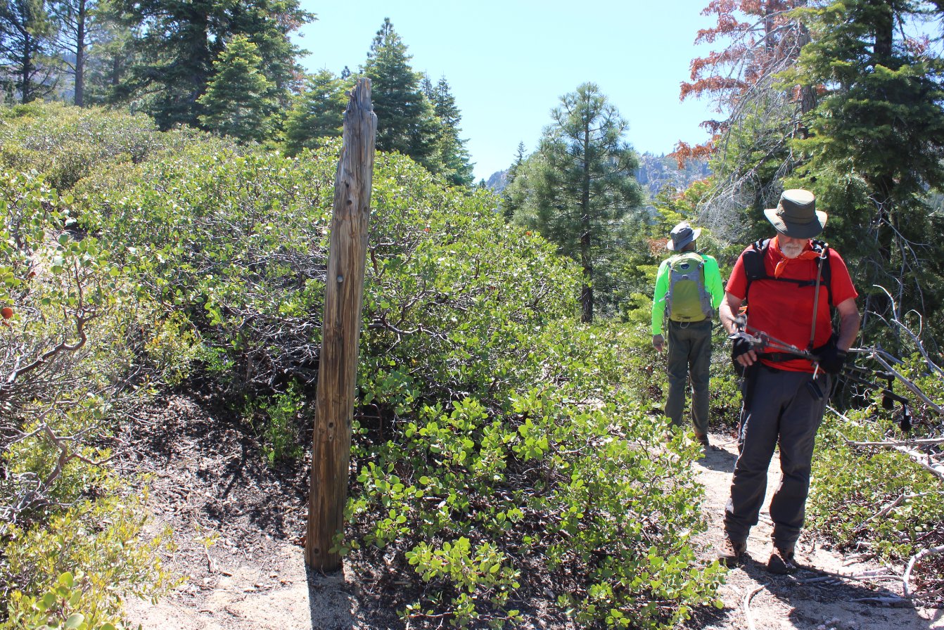
Until this year (2019,) the Thornburg Canyon trail had not been
maintained to any
degree
in more than a decade. A group from Amador as well as the Amador
ranger have been focused on this trail including defining it much more
clearly. |
||
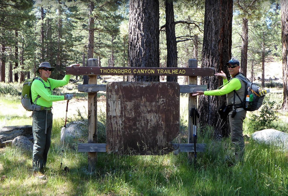
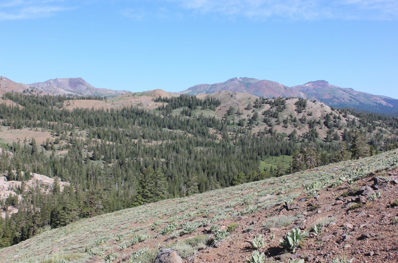
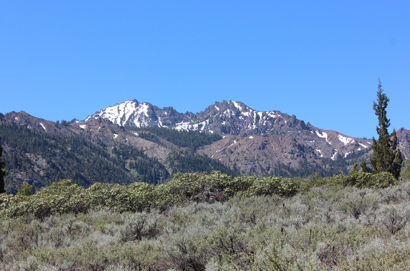
| General
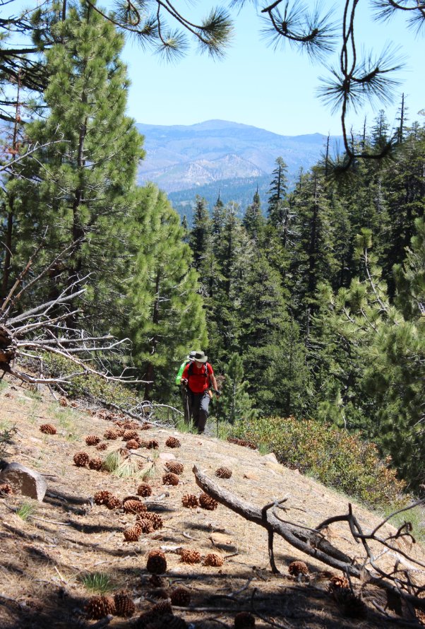
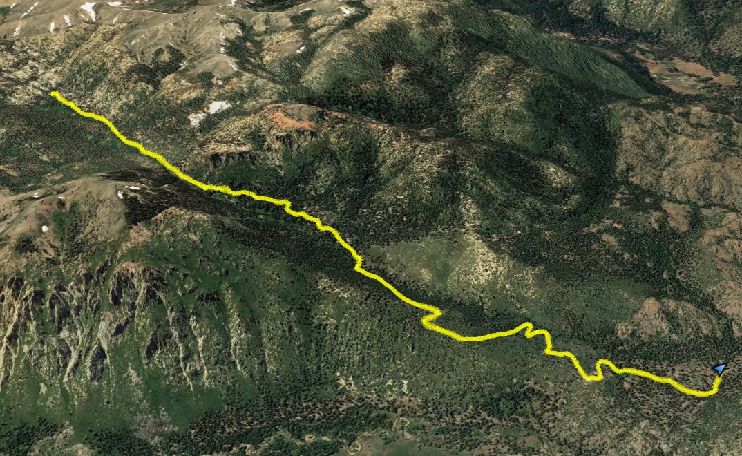
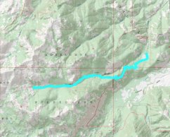
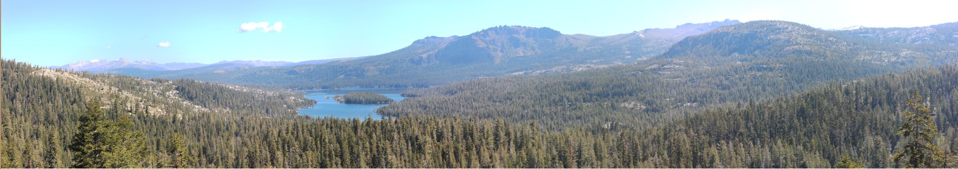
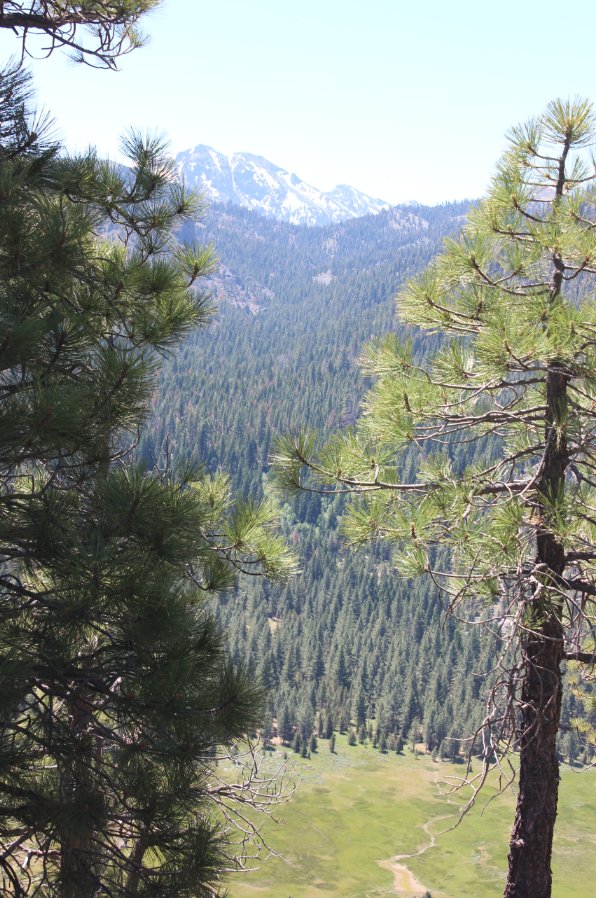
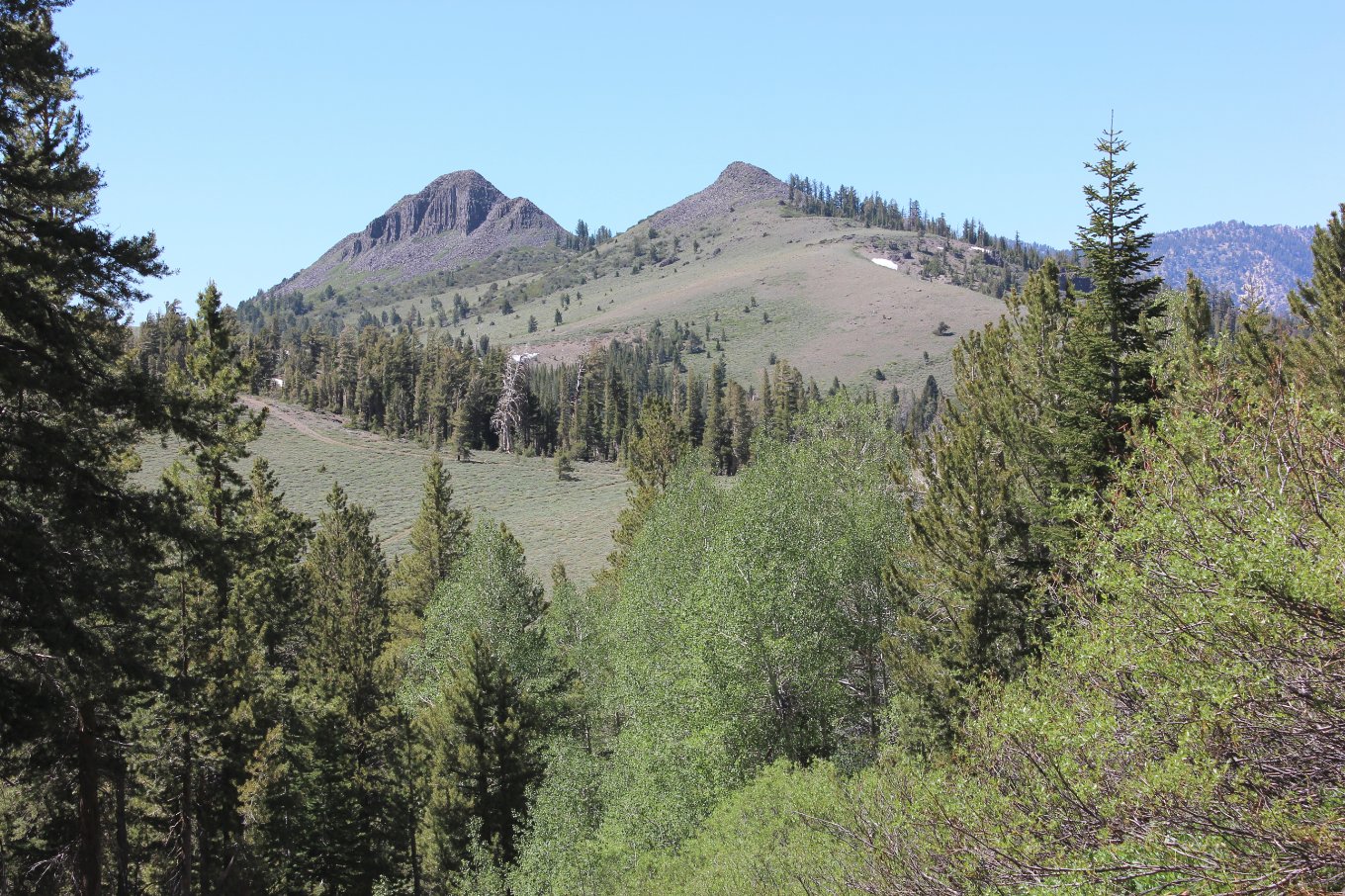
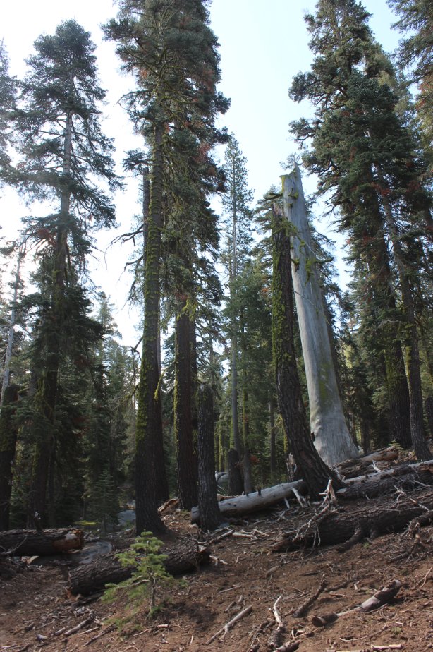
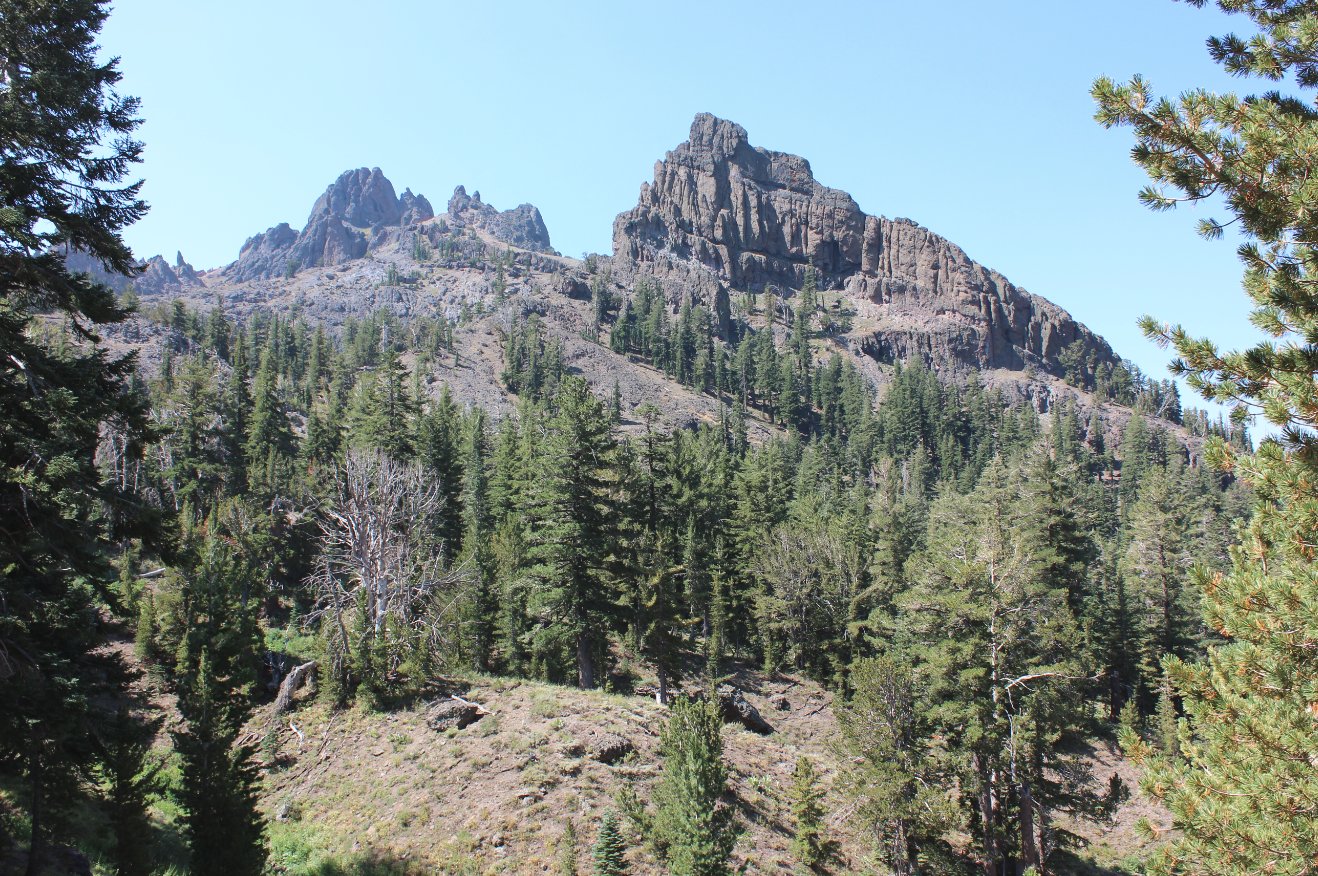
Notes: From the parking area, pass by the trailhead sign and head across and open area which will soon offer some impressive views of Raymond Peak to the southwest. Continue up the trail above the canyon to your right and a couple of times you will find viewpoints down into gorgeous Pleasant Valley to the left. This is a private valley that is not accessible, but offers impressive scenery along the way. As you bend a sharp turn and head into a forested section, you will enter into the Mokelumne Wilderness, which was signed at one time but on this date the only thing left was a splintered post in the ground. About 2 1/2 miles in you will begin to drop down into the canyon, passing by some impressive protruding rock formations on your right (north) which tower high above you. On the left is Thornburg Peak, and 8600' peak that can be readily climbed as a side trip if interested. The trail reaches a granite section about 4 miles in which begins to climb steadily, the location where we turned around on this trek. |
|||||


