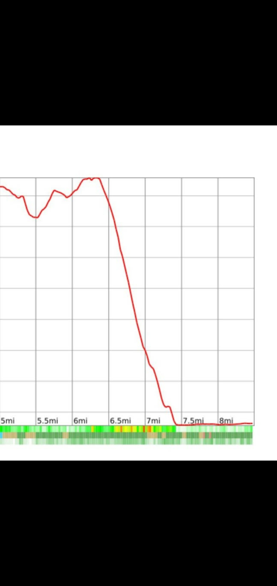
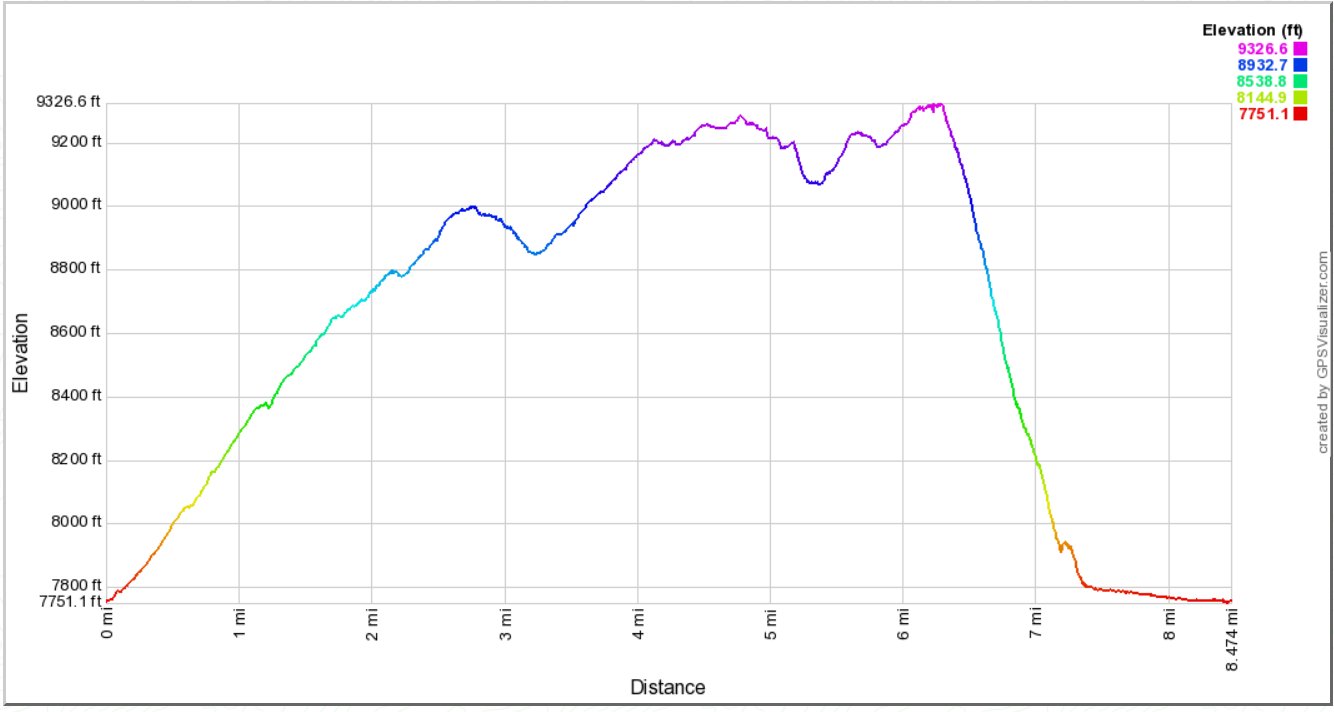
Distance: 8.5 Miles
Vertical Gain: 2200'
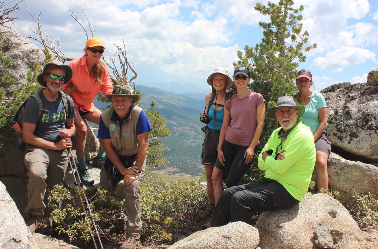
Group Size: 7
Hike Rating: Easy Moderate Hard Strenuous
 GPX
for
this trip
GPX
for
this trip
| Start Coordinates: | N 38 47.799, W 119 58.451 | End Coordinates: | Same as Start Coordinates | ||
| Car Shuttle Req'd: | No | Parking Directions: |
Take
Highway 50 to Highway 89 or north from Pickett's
Junction
(Hwy 88.)
Follow Highway 89 to the entrace to the roadside
parking area for the Grass Lake trailhead that accesses the Tahoe Rim
Trail (TRT.) There is room for 7-8 cars on the north side of
the highway and about the same number on the south side. |
||
| Hazards of Note: | Bears, bikes on the Tahoe Rim Trail section especially near the junction of the Saxon Creek trail, significant route-finding required. A mile walk along Highway 89 back to the car as well as crossing the road to get to the safest location to walk back to the cars. | Crowd Factor: | High to None. The Tahoe Rim Trail (TRT) is a very popular trail and this section can see heavy mountain bike usage. Once off-trail you will run into nobody. | ||
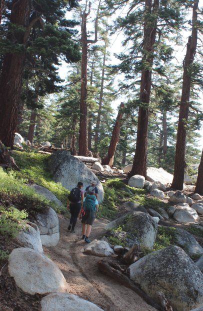
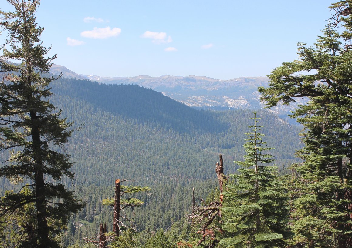
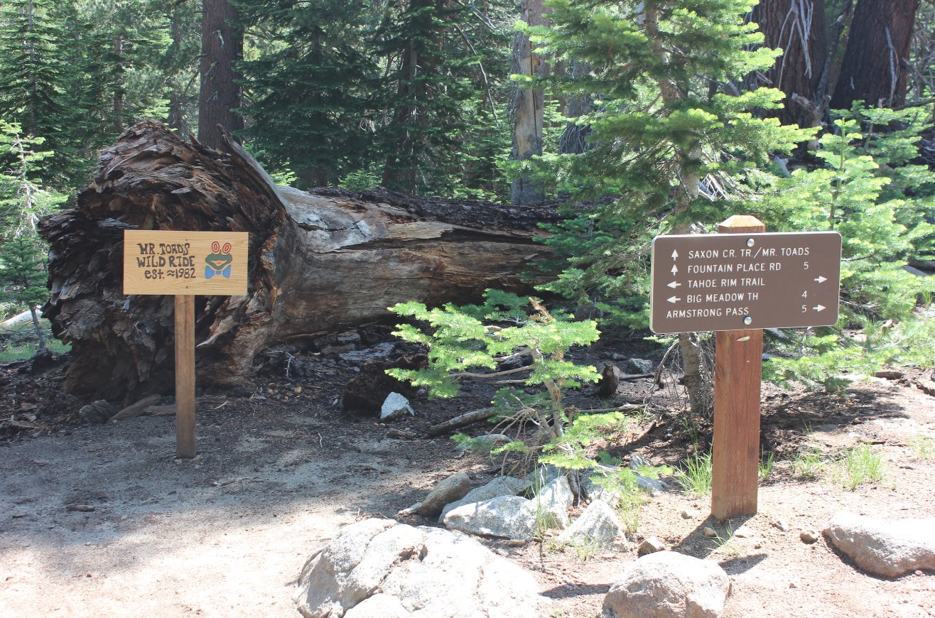
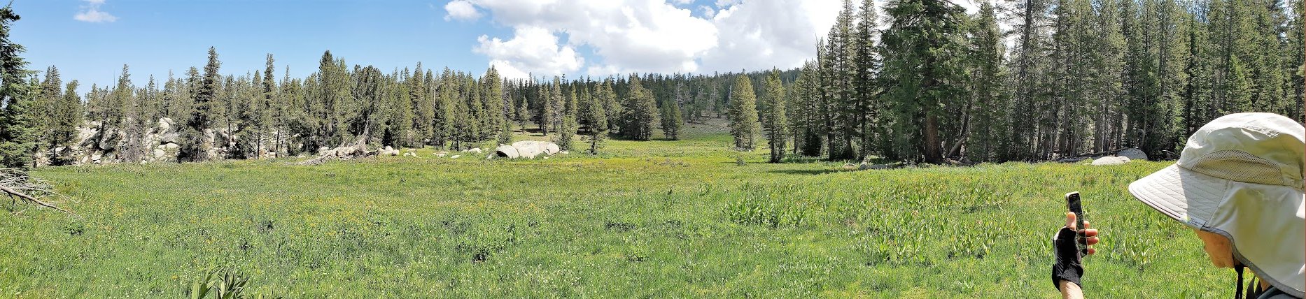
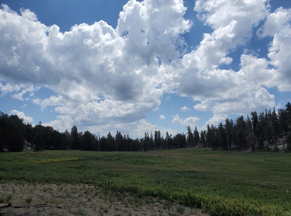
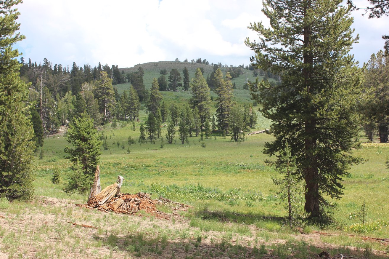
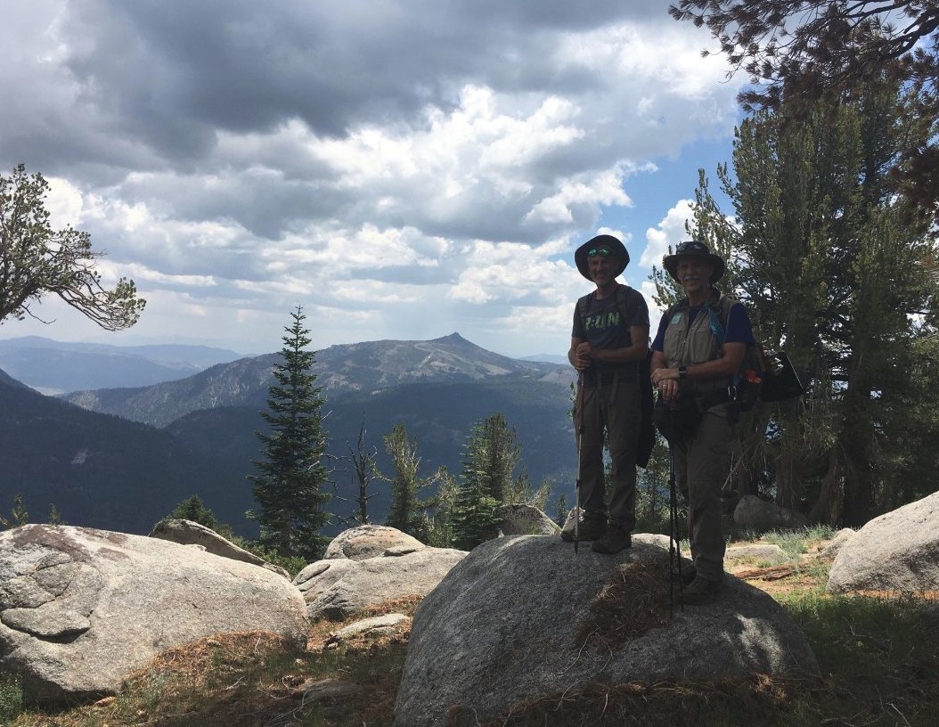
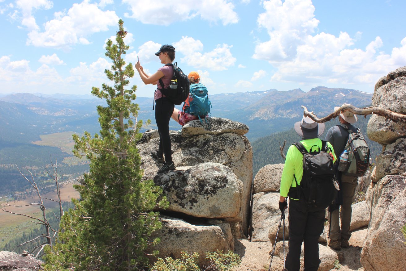
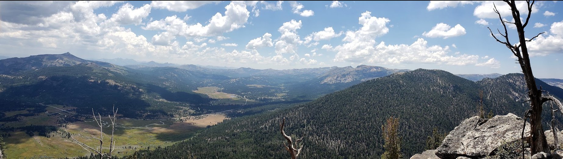
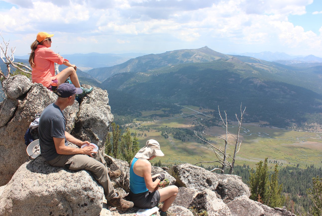
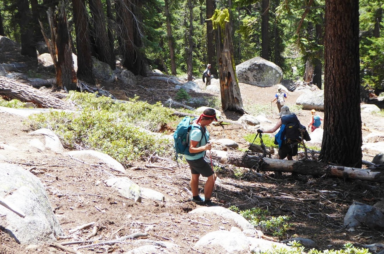
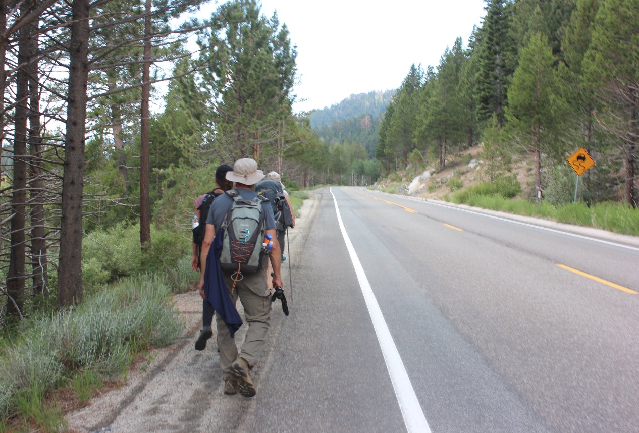
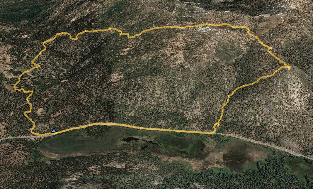
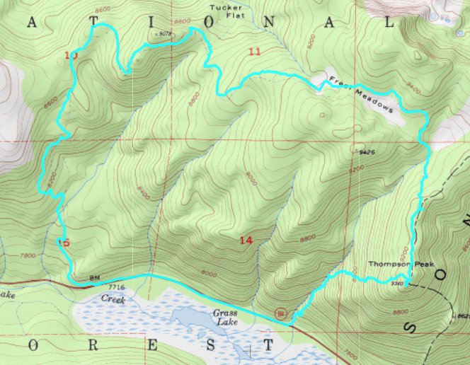
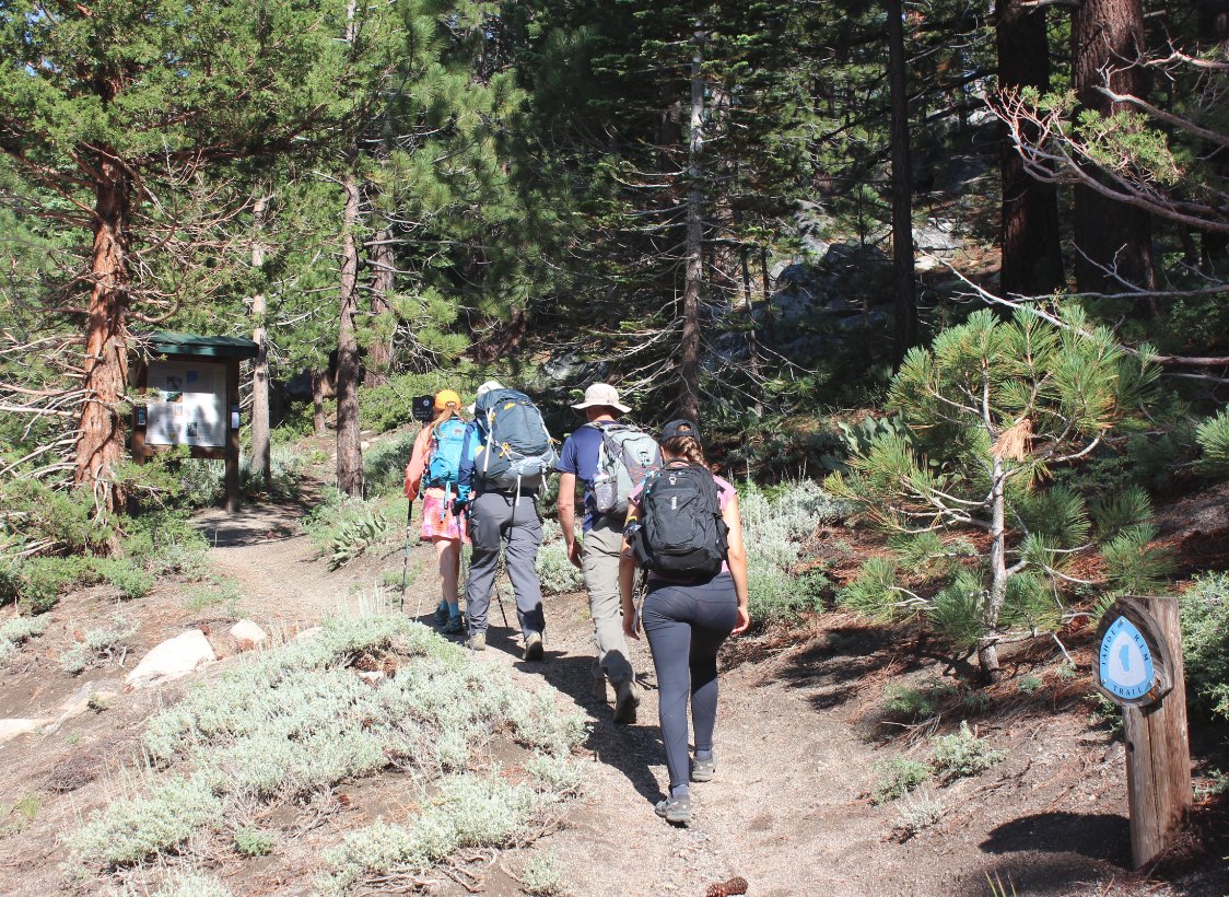
| General Notes: From the parking area head you will see a Tahoe Rim Trailhead kiosk just uphill from the road. Head up this trail and you will meet up with the Tahoe Rim Trail proper at a junction after 3/4 of a mile. You will gain about 500' of elevation in this section alone, as it has to go uphill quickly to meet up with the TRT. Turn right toward Armstrong Pass, and you will spend much of the next few miles in the forest with a few quick views toward the south and west on the way. There is a junction with the Saxon Creek Trail a couple of miles up the trail, which is the start of the popular mountain bike run known as "Mr Toad's Wild Ride." This is a very popular mountain bike trail and you will meet up with a number of bikers even on a weekday. After about three miles on the TRT you will come to the first of two gorgeous meadows, the second of which is Freel Meadows. Not sure if the first one is part of the same meadow, but it is lovely and a good warm up for the much larger Freel Meadows further ahead. Just past Freel Meadows you will need to leave the trail, and from a navigation standpoint your best bet is to look for Grass Lake Creek, head toward and across it in a pretty valley area that had frequent sightings of bear scat. After crossing the creek you will need to start heading southwest up the ridge in front of you. Much to our suprise and delight about halfway up there we discovered a set of rocky cairns which someone had set out, making for one of the best marked off-trail routes I've ever seen. There were rock stacks all the way to the top of Thompson Peak at most 50 feet from each other, so it was easy to follow that route even without a map or GPS. Once at the peak you will be rewarded with remarkable views from a relatively unknown peak which stretch all the way from the east (Cary Peak, Markleeville, Thornburg Peak) to the south (Hope Valley, Carson Pass and the Carson-Iceberg Wilderness) to the west (Waterhouse Peak, Little Round Top) and then even the Crystal Range to the north. It was pretty unexpected to have such amazing views in so many directions. Although the route-finding from the TRT to the peak is a primary reason for rating this trail as "Hard," the next part, finding a safe route down the mountain is another reason. There are known routes described online heading back along the ridge to the east and then dropping down to Forest Road 51, but we decided to head down the Northwest, angling alternately toward the Grass Lake Creek and Highway 89 at the same time. This was a tricky descent, as we dropped 1700' in less than a mile. We had to cross the creek before reaching Highway 89. The last mile from here is a walk along Highway 89 back to the cars. If you drop down to Road 51, you will have nearly 3 miles of road walking to get back to the starting point. |
|||||
