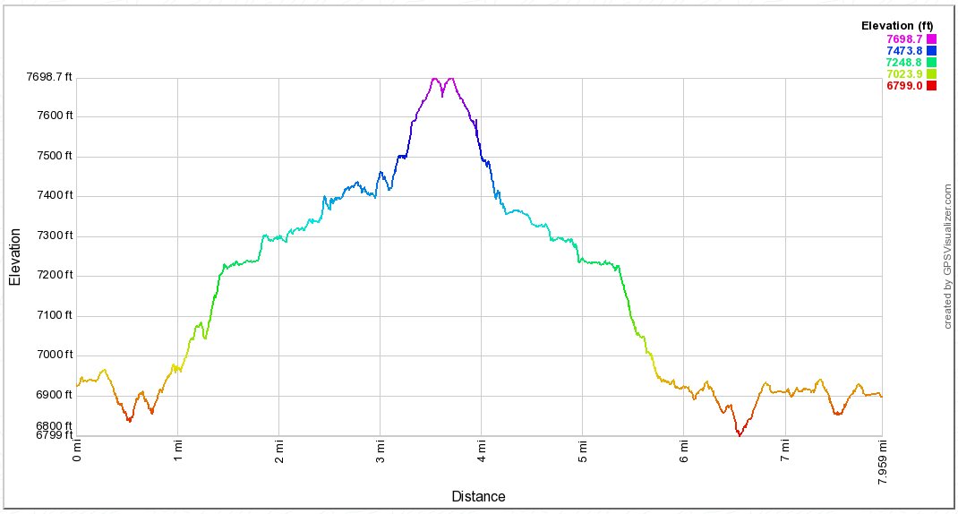
Back to index Snow & Azure Lakes Hike
Trip Date:  09/04/2020

Distance
: 8.0 Miles

Vertical Gain: 900'

Group Size: 4

Hike Rating:  Easy   Moderate    Hard    Strenuous
Snow & Azure Lakes Route
  Download GPX GPX for this trip
Snow & Azure Lakes Elevation Profile
Start Coordinates:   N 38 56.768  W 120 05.883     End Coordinates:   Same as Start Coordinates  
Car Shuttle Req'd:   No Parking Directions:   Take Highway 89 to Emerald Bay on the west side of Lake Tahoe to the Bayview Campground parking area.
Hazards of Note:   Much of the first mile is downhill, leading to some uphill on the way back.  Once at the falls, the hike is all off-trail and route finding will be required to both lakes. Crowd Factor:   High crowd factor on the way to Cascade Falls.  Past the falls, the changes of running into people will be much less and probably limited to backpackers heading to one of the lakes.
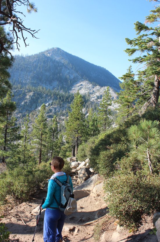
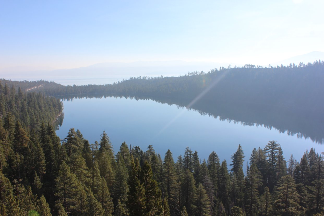
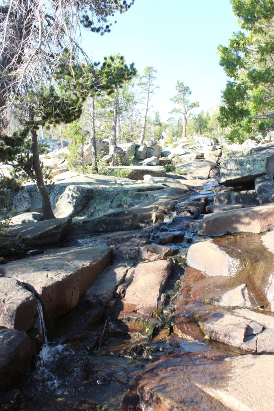
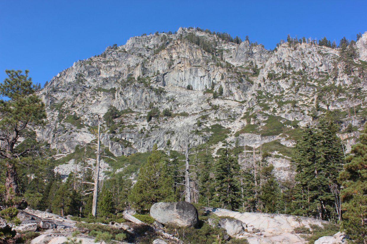
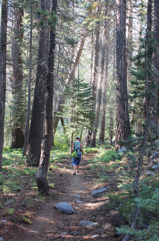
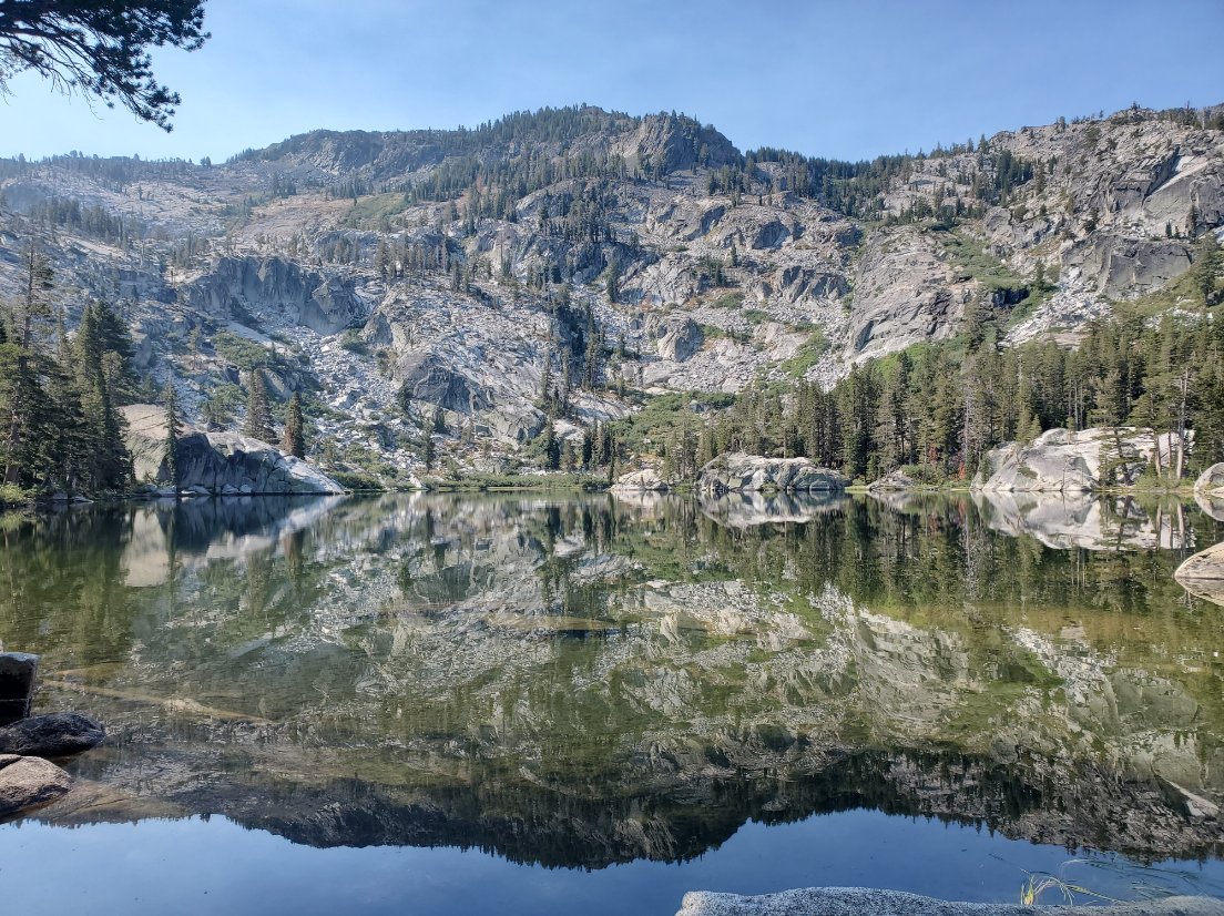
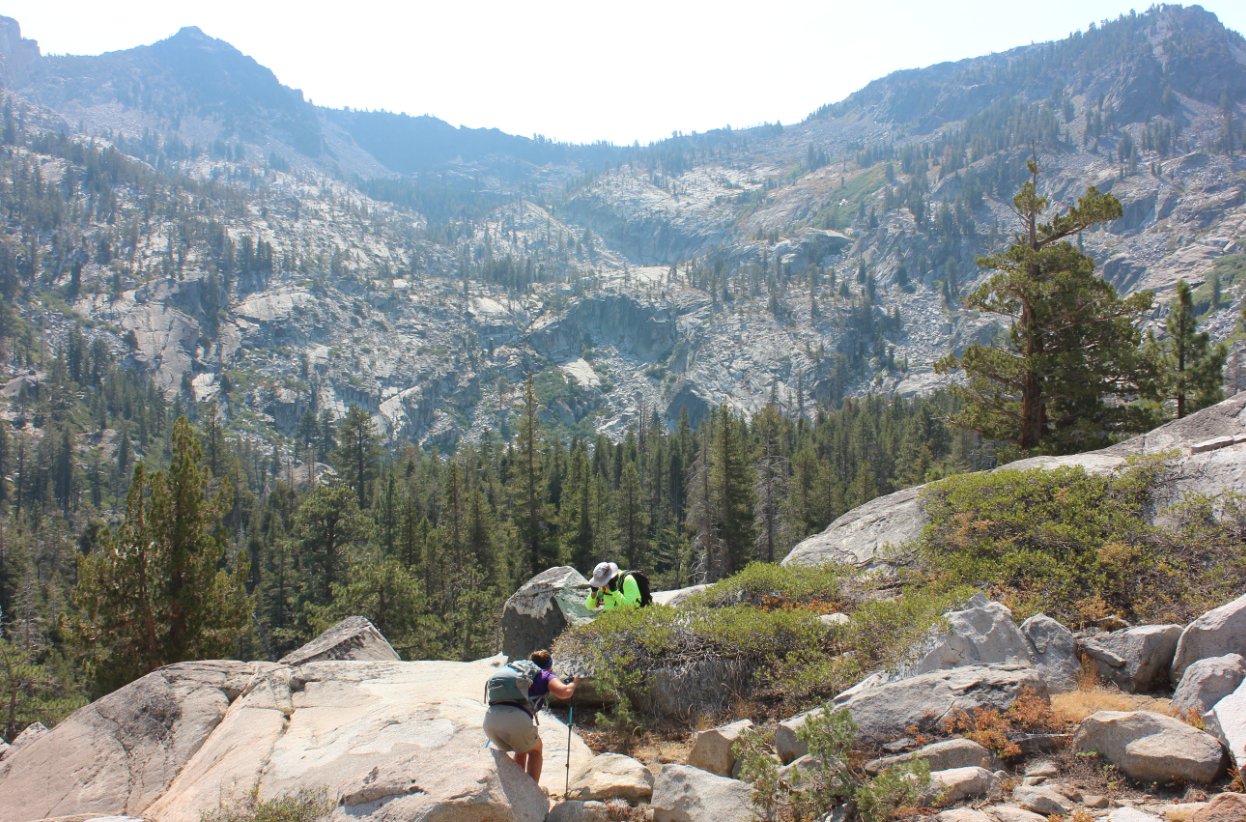
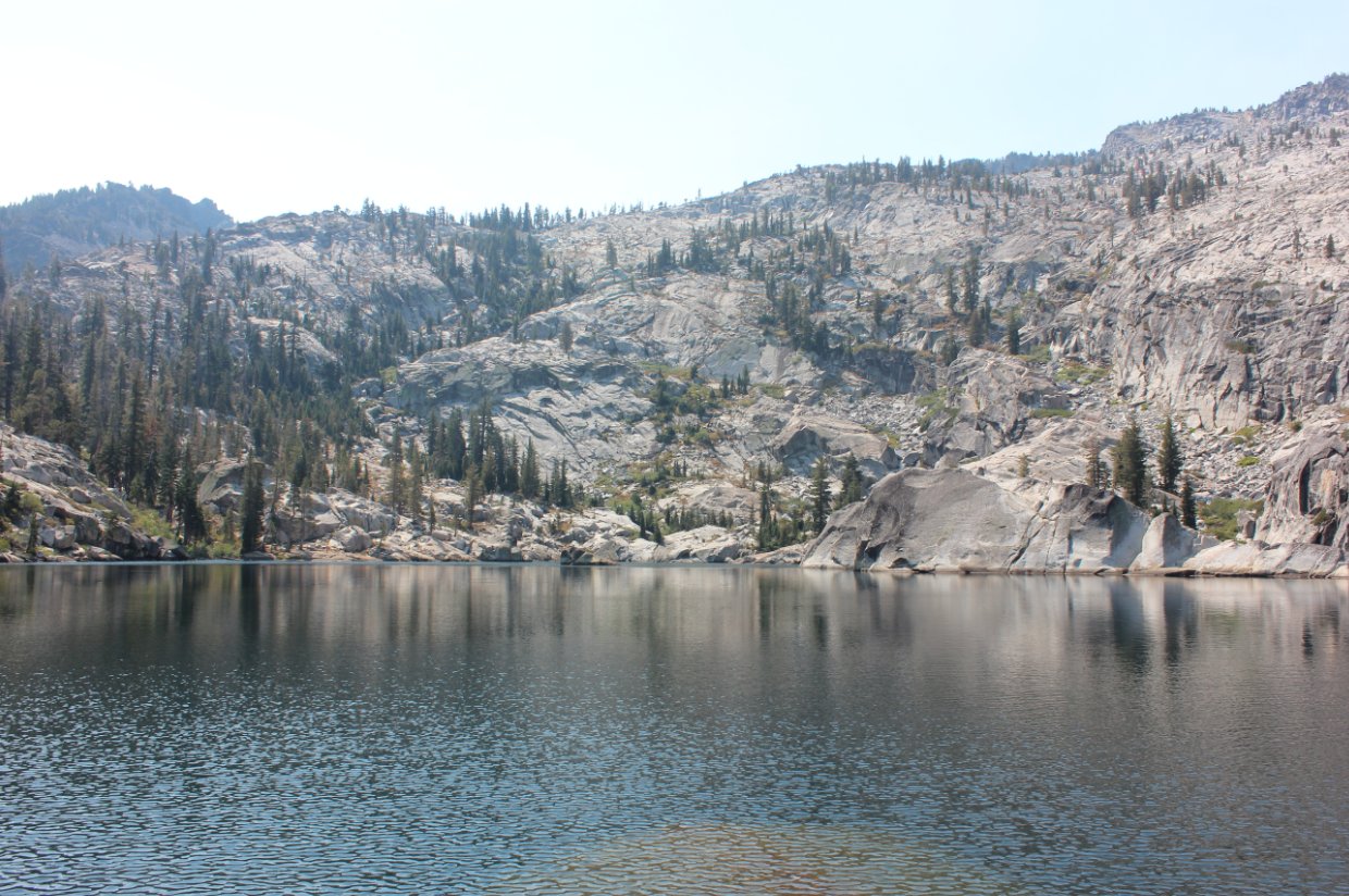
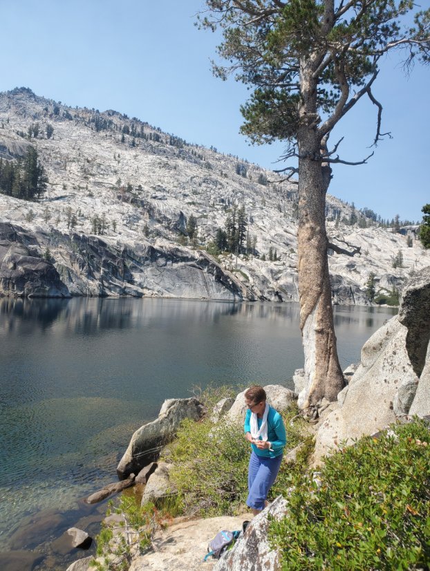
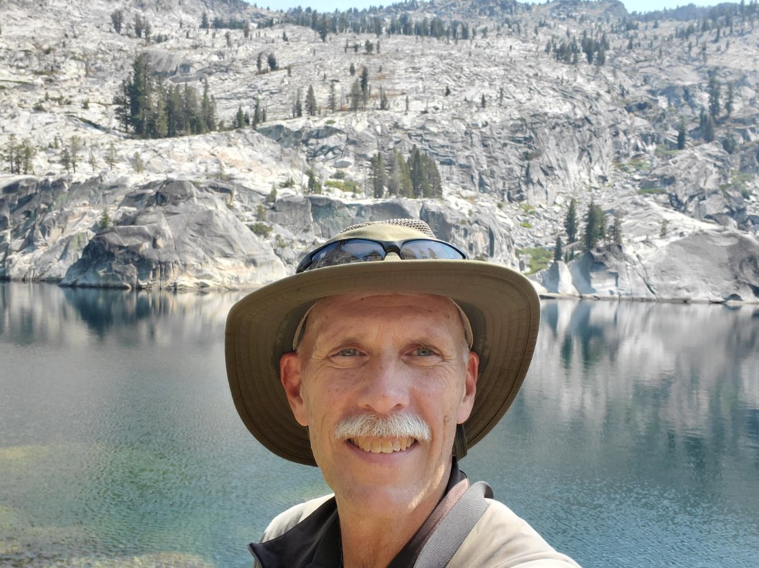
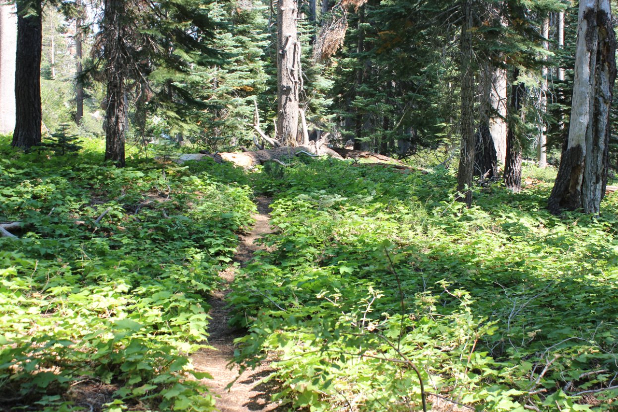
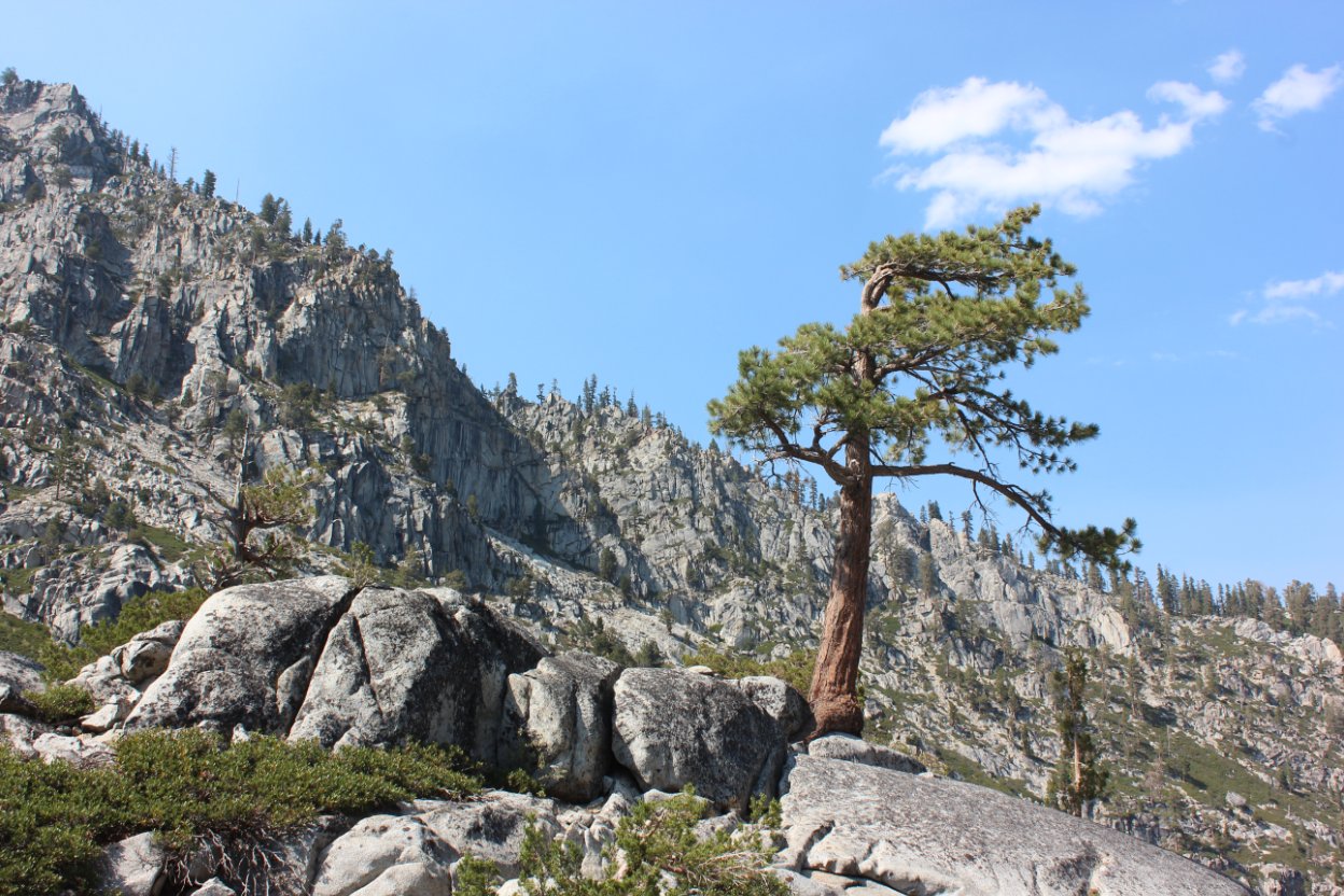
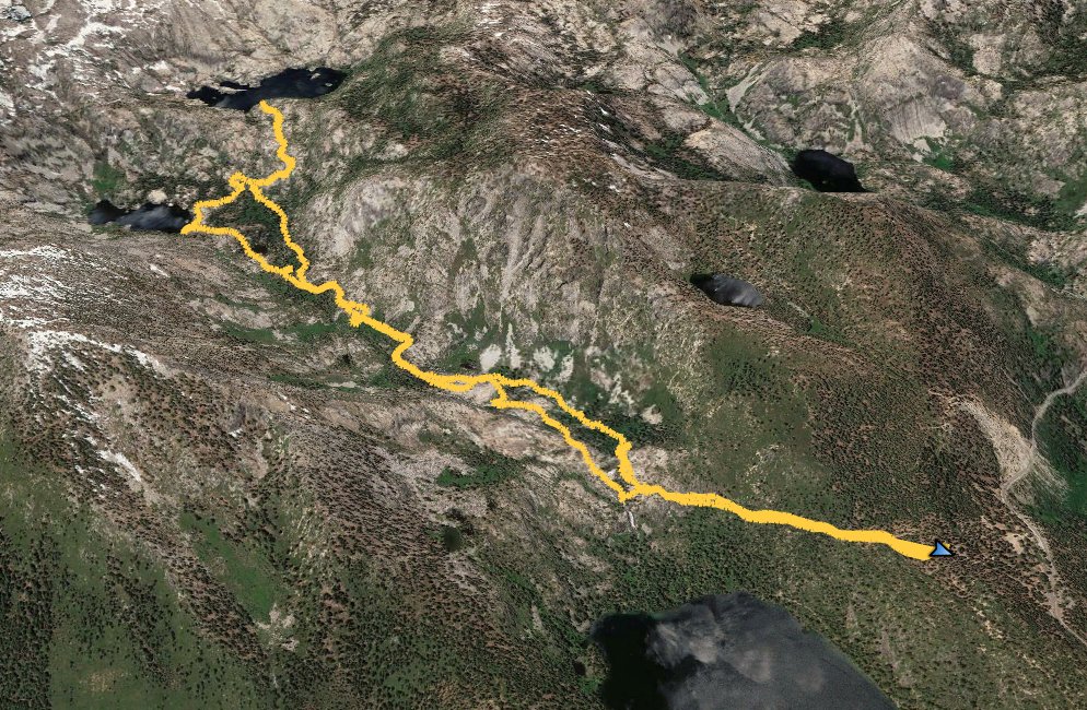
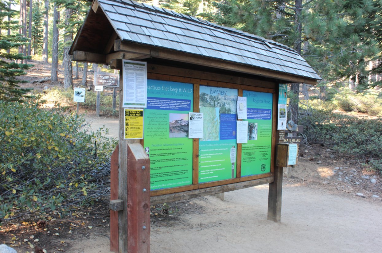
General Notes:
Starting at the Bayview Campground trailhead, take the trail to the left toward Cascade Falls and do not head up the immediately sloping upward trail toward Bayview and South Maggie's Peak.  
The first part of the trail is fairly level, and then heads downhill a little bit, before opening up to reveal some nice early views of Cascade Lake to the south.  As you approach the falls area, look for safe crossings across the water, or turn around there and head back after enjoying the area.   The falls are actually below this location on private property, but you can get a few good views of the falls from the sides of the trail.
Once you head past the falls, you will continue to the south west and can look for one of numerous use trails which traverse this section from Cascade Falls nearly all the way to Snow Lake.  Some of the trails will disappear for a time, but there are at least two which eventually continue all the way to Snow Lake.
From Snow Lake, head west-northwest, attempting to stay north of the large granite section immediately west of Snow Lake which have many 20-30 foot sections that would require skilled rock climing experience.
The way from Snow Lake to Azure Lake will take you do the eastern shore of Azure Lake.  If you wander north along the edge of the lake for a few hundred feet, you can pick up a trail which heads up steeply to the Bayview trail and can allow you to create a loop around South Maggie's Peak.

Since this is a hike into Desolation Wilderness, you will need a day permit (free at the trailhead) and the group size limit is 12.

This trailhead kiosk is just to the east of the Bayview Campground parking area.  The Bayview trail, not the one you want for this trip heads directly west and the Cascade Falls trail heads more to the south west. Trailhead kiosk
Our group getting ready to hit the Cascade Falls trail from the parking area. Our group at the start 
Early into the hike you will get some nice views of Cascade Lake through the trees.  On a non-smokey day you will also have a nice view towards Freel Peak to the east. Early Cascade View
Dorian checking out the view into Desolation Wilderness from the Cascade Falls trailhead.  Checking out the view
As the trail nears Cascade Falls you get a nice view of this private Cascade Lake and Lake Tahoe in the distance... on a clear day without the smoke we experienced this trip. Cascade and Tahoe Lakes
In the spring this would be a raging torrent and some of the trail further up the canyon might be difficult to follow. Nearly dry Cascade Creek
Directly to the west of South Maggie's Peak, the sheer face of the cliffs are an amazing sight. South Maggie's Peak
Not far past Cascade Falls we started finding old trails which provided a nice path through the area, but they would often peter out and we had to do some significant scrambling before picking up this (or another) trail to our first destination. Old Trail
Although Snow Lake is significantly off the beaten path with no official trail there, the location is spectacular and would be a very worthy destination on its own. Snow Lake
After leaving Snow Lake the path you will take to Azure Lake climbs a good 600 feet over the next mile.  You do get a nice view of Snow Lake far below and the bowl above it which houses the elusive Tallac Lake. A Look Back
Very similar to Snow Lake below, Azure Lake sits in a picturesque granite bowl and offers some fantastic scenery all around. Azure Lake
The water was very cold, but Dorian took the opportunity for a quick swim before we headed back down the way we came. Taking a swim
A quick shot to capture my brief visit to Azure Lake. At Azure
On the way back we found a different trail further to the west of the one we took on the way it, and it had some nice sections of color here and there along the path. A different trail back
Another look up at the steep Maggie's Peak terrain on a glorious day. Scenery
GPS track of the hike, starting in the bottomr left and heading around clockwise. GPS Track of the hike