Distance: 7.6 Miles
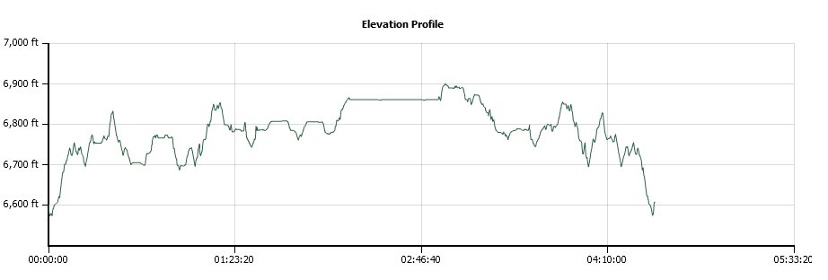
Vertical Gain: 400'
Group Size: 2
Hike Rating: Easy Moderate Hard Strenuous

 GPX for
this trip

| Start Coordinates: | N 39 16.806 W 120 31.866 | End Coordinates: | Same as starting coordinates | ||
| Car Shuttle Req'd: | No | Parking Directions: | Take Highway 80 to the Yuba Gap exit from the freeway. Turn right (south,) and in just over 2/10 of a mile turn right toward the campground. 1.1 miles further on, turn left onto forest road 19, which is unpaved. A sign at this junction points to Sky Mountain Camp if you were to go straight. You will drive along the eastern shore of Lake Valley Reservoir for a few miles, and after 4 miles turn left on road 38. A mile and a half past this point is privately owned Huysink Lake, which you will pass, and then 1/2 a mile past this is the parking area where the road bends sharply to the right. There are spots here for 5-6 cars on the left and 1-2 on the right. | ||
| Hazards of Note: | The first mile toward Salmon Lake is intermittently dusty and dirty. | Crowd Factor: | Negligible on the Salmon Lake trail until you hit Lower Loch Leven Lake. Then the crowd factor will be high, with many people visiting this area from the main trailhead near Big Bend (the next exit east of Yuba Gap.) | ||
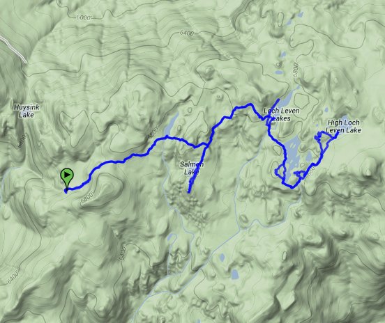
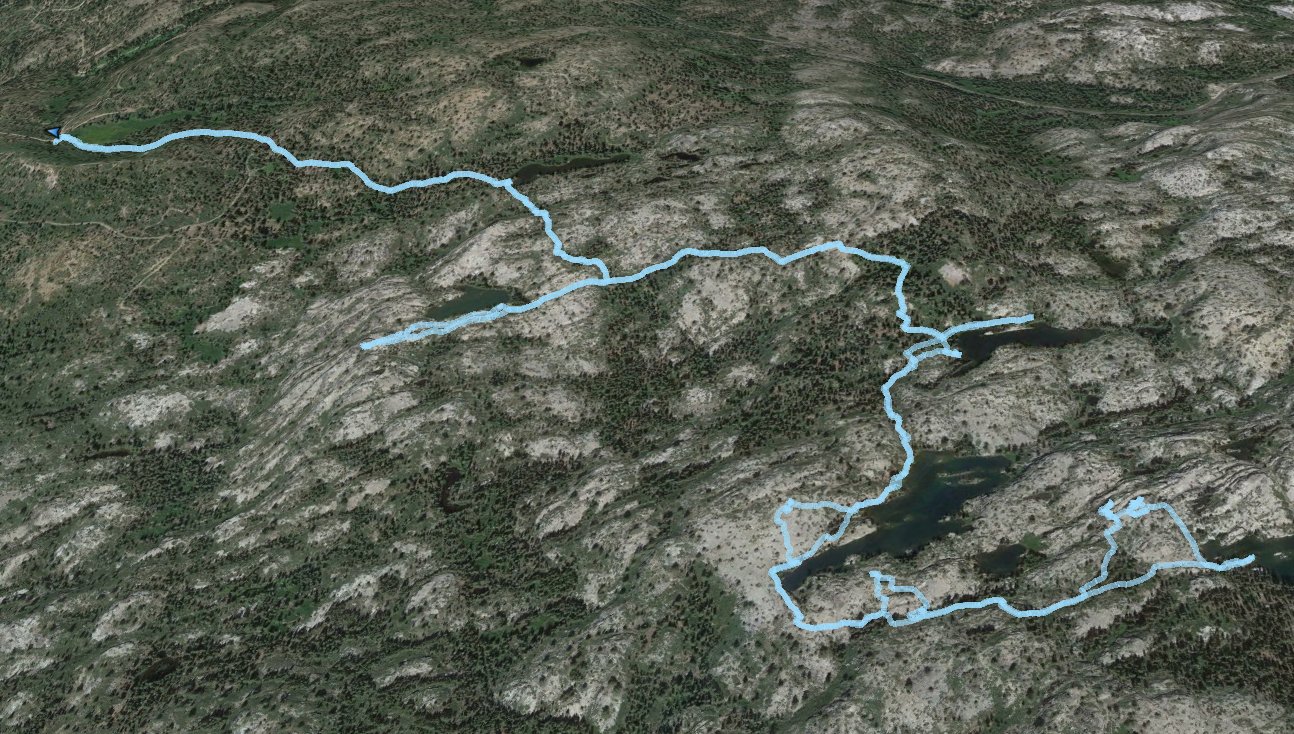
| General Notes: From the parking at the trailhead, you will find the old trailhead signed just to the northwest of the bend in the road. Follow this trail past an unnamed lake about 1/2 a mile in on the left, and then look sharply for a sign pointing back to your car that indicates a mile to go back that way. An obvious trail heads south, which will allow you to reach Salmon Lake within about 3/10 of a mile. Head back and pick up the original Salmon Lake trail, and then when you reach Lower Loch Leven Lake you will turn right toward Middle Loch Leven Lake. Most people come in from the trail on the left at this junction. The trail loops around the south end of Middle Loch Leven Lake, and then heads upward toward High Loch Leven Lake at the end of the trail this direction. |
|||||


